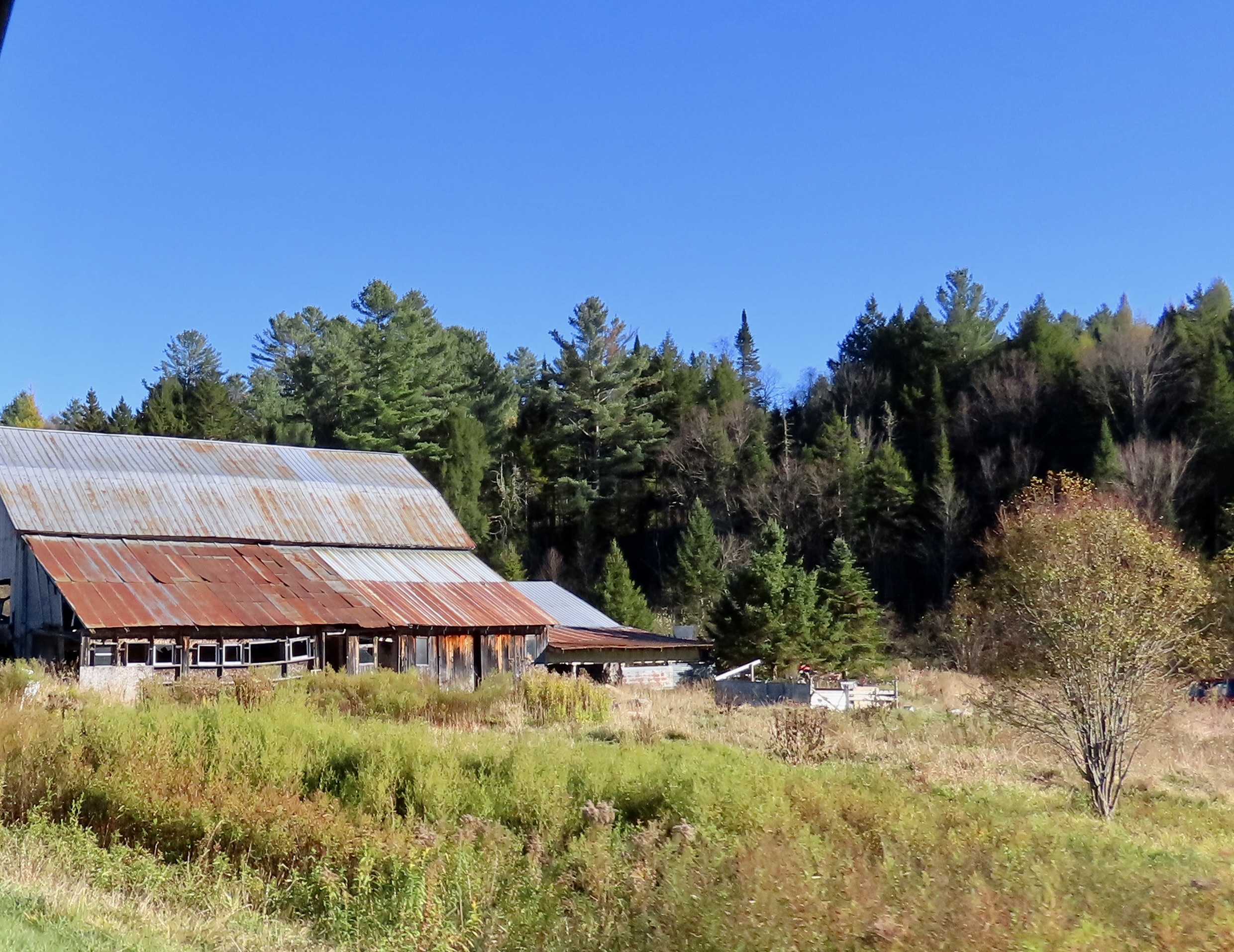

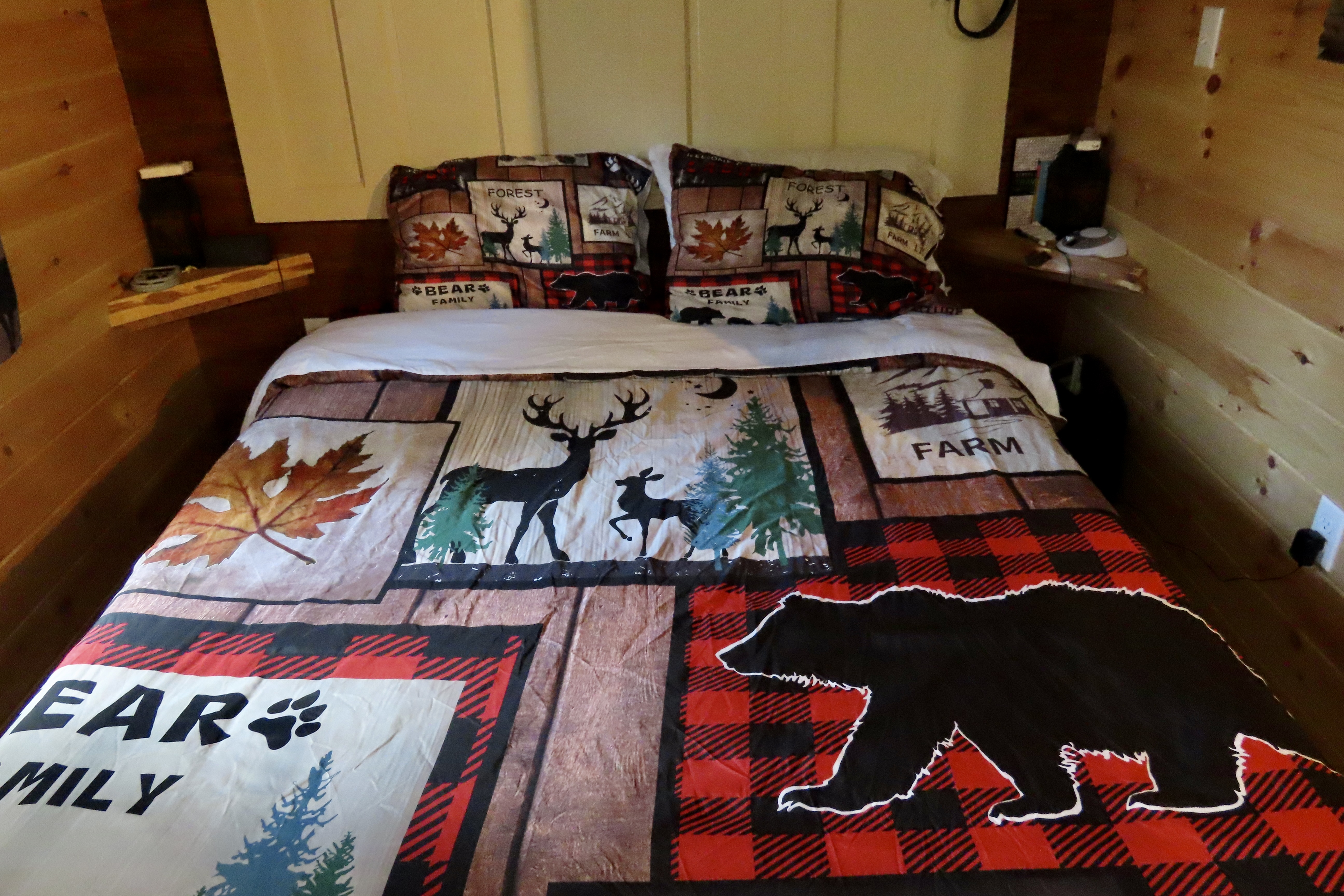
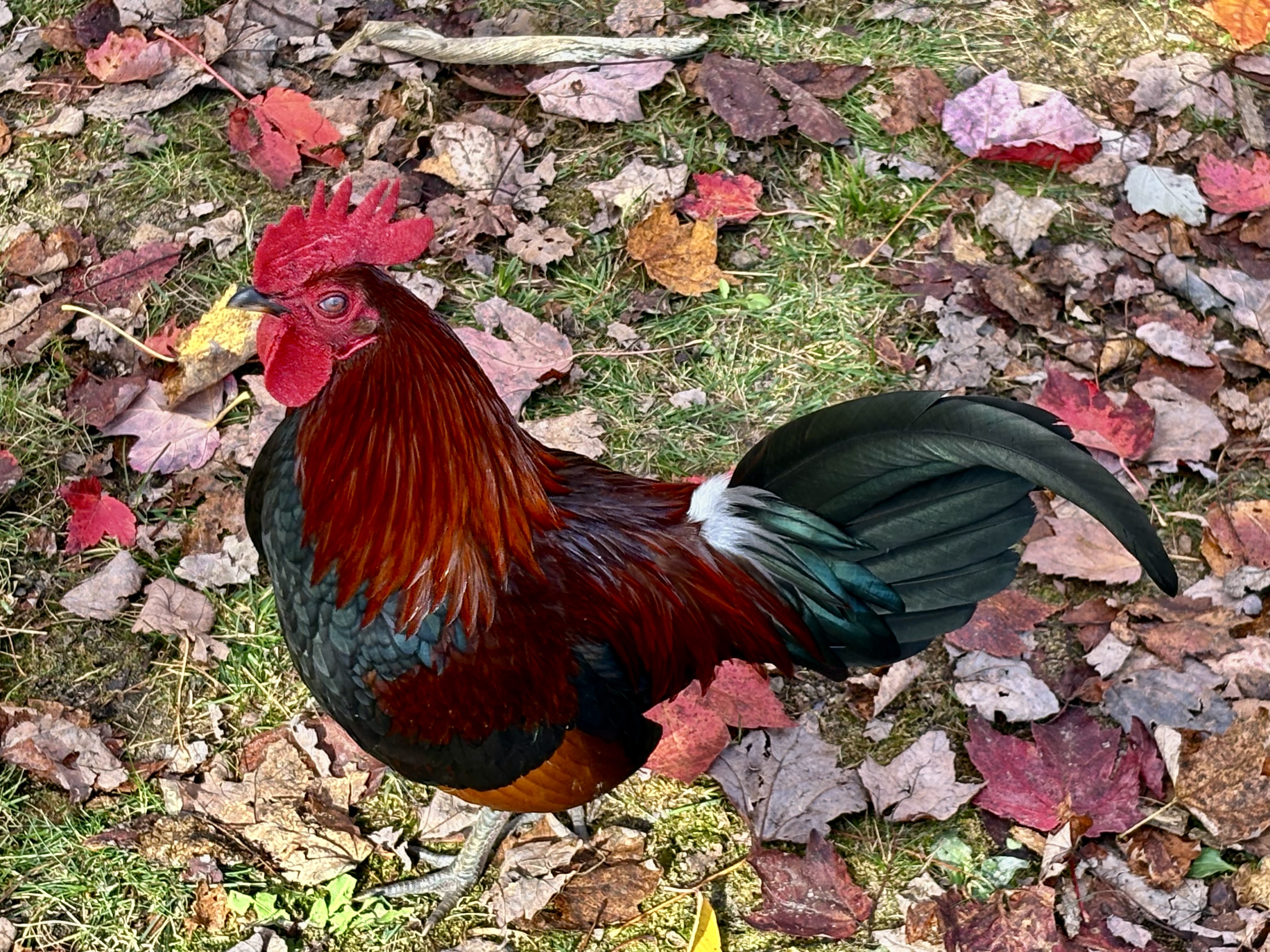
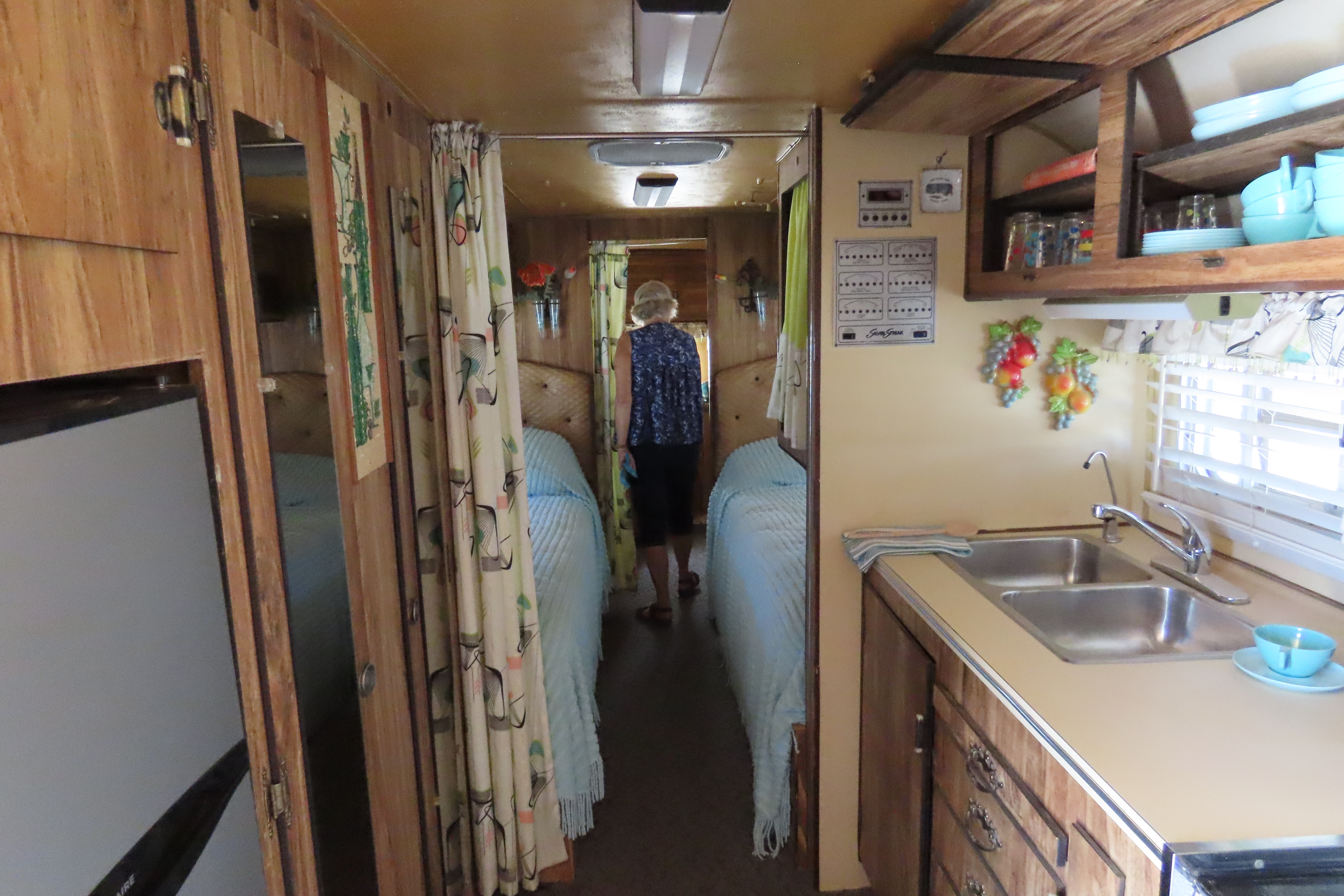
Our West Chazy NY cabin was the second one on our tour. I already blogged about the first: Bare minimum: no electricity, no heat, no insulation, no water and an outhouse— all on the coldest day of our three week trip. The second was the direct opposite: A full kitchen, bathroom, sitting room, streaming TV, fun decorations, heat, and, I might add, excellent insulation. The owner, Shane, greeted us when we arrived and told us that he had put a dozen eggs in the refrigerator! “Our chickens are producing eggs faster than we can eat them,” he told us.” Let me know if you need more.” When we went online to give the cabin a five out of five, we were surprised that Shane had already been there and given us a five out of five as guests! Both cabins cost about the same to rent. It’s a tale of two cabins, a dickens of a story, if you will.

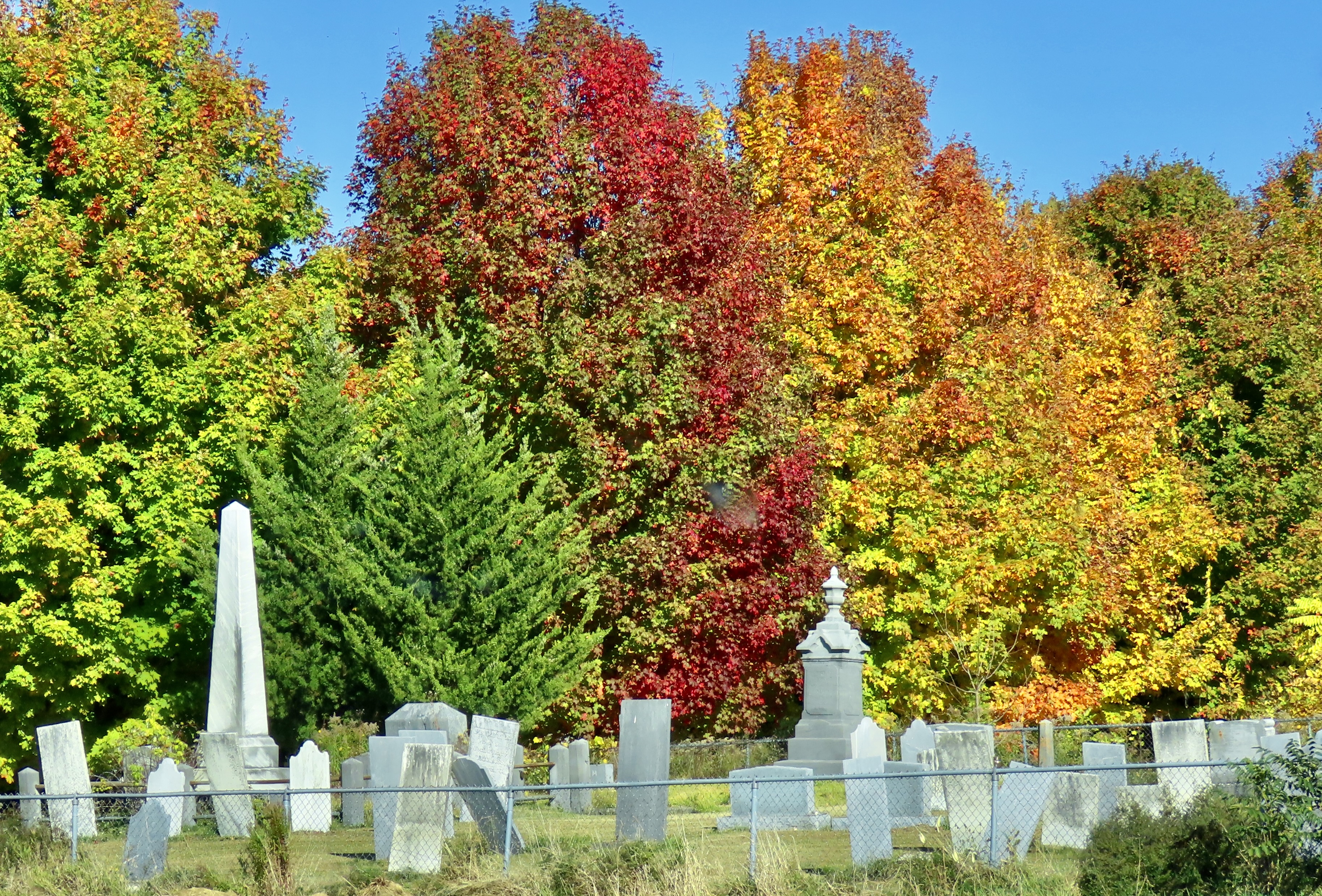
I know something about scary graveyards. I was raised next to one and have blogged about the experience several times. To say it was overgrown is a serious understatement. During the day, it became a jungle playground populated with ferocious tigers, bone crushing boas, and half-starved cannibals. My brother Marshall and I played there often. Since it was within easy calling distance of the house, our parents didn’t worry. Either that or they were glad for the peace and quiet brought on by our absence.
Night was different. The Graveyard became a place of mystery and danger. Dead people abandoned their underground chambers and slithered up through the ground. A local test of boyhood bravery was to go into the Graveyard after dark and walk over myrtle-hidden graves, taunting the inhabitants. Slight depressions announced where they lived. Marshall, who at nine was two years older than I, persuaded me to accompany him there on a moonless night. I entered with foreboding: fearing the dark, fearing the tombstones, and fearing the ghosts. Halfway through I heard a muzzled sound. Someone, or thing, was stalking us.
“Hey, Marsh, what was that?” I whispered urgently.
“Your imagination, Curt,” was the disdainful reply.
Scratch, scratch! Something was digging behind a tombstone and it was not my imagination. Marshall heard it too. We went crashing out of the Graveyard with the hideous creature of the night in swift pursuit. Wagging her tail.
“I knew it was the dog all of the time,” Marsh claimed. Yeah, sure you did.

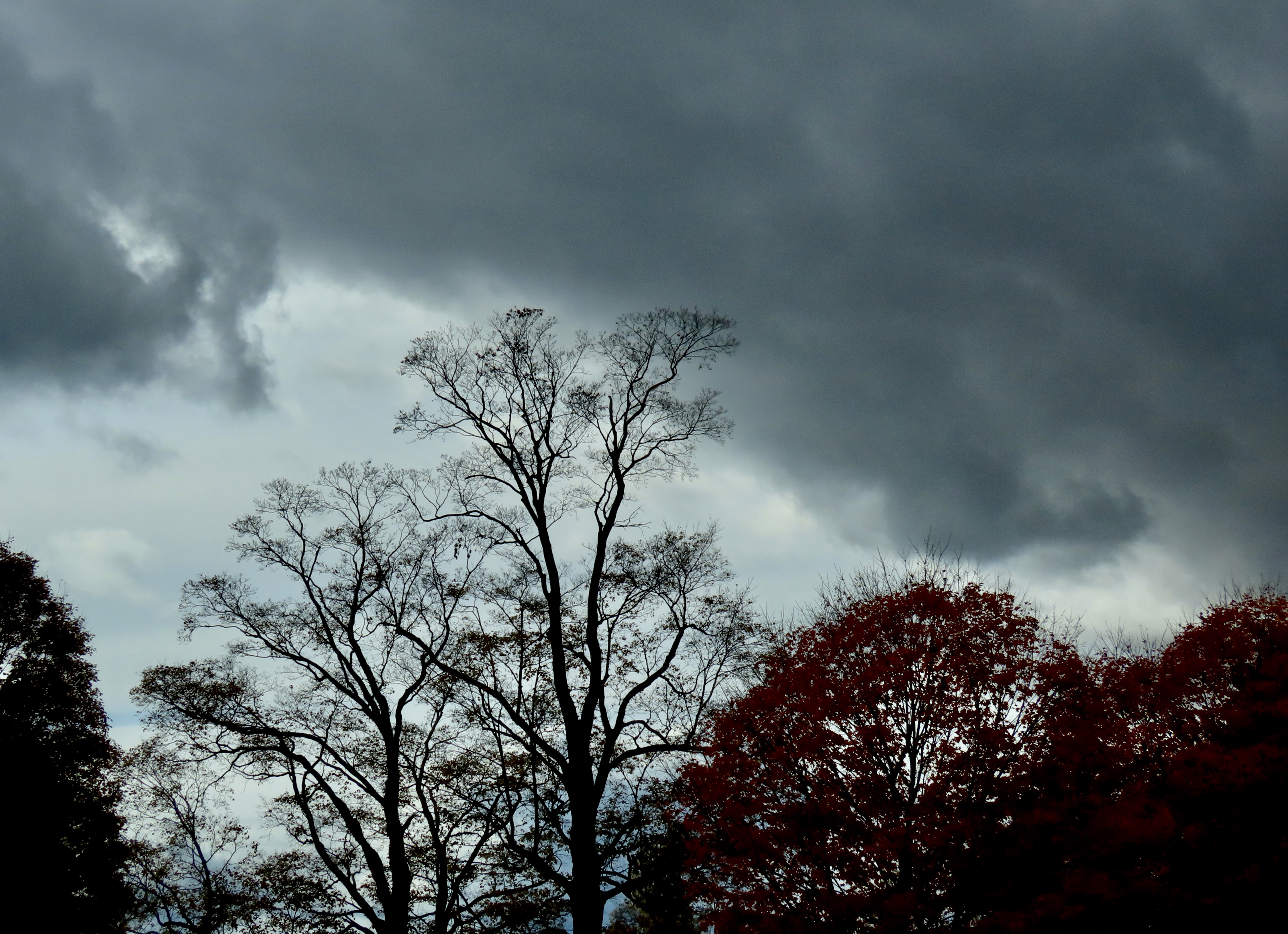
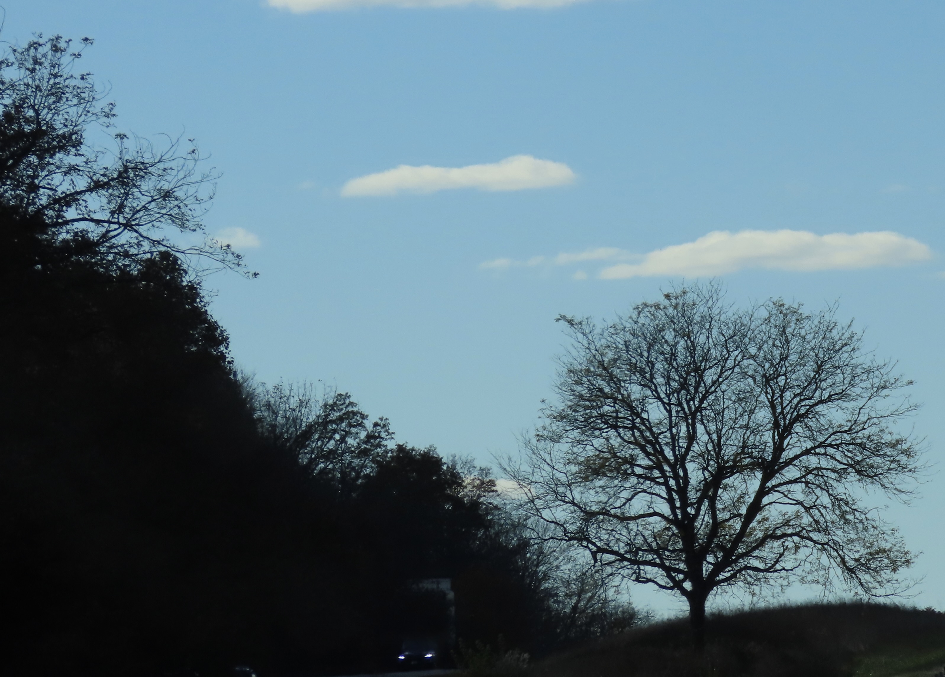


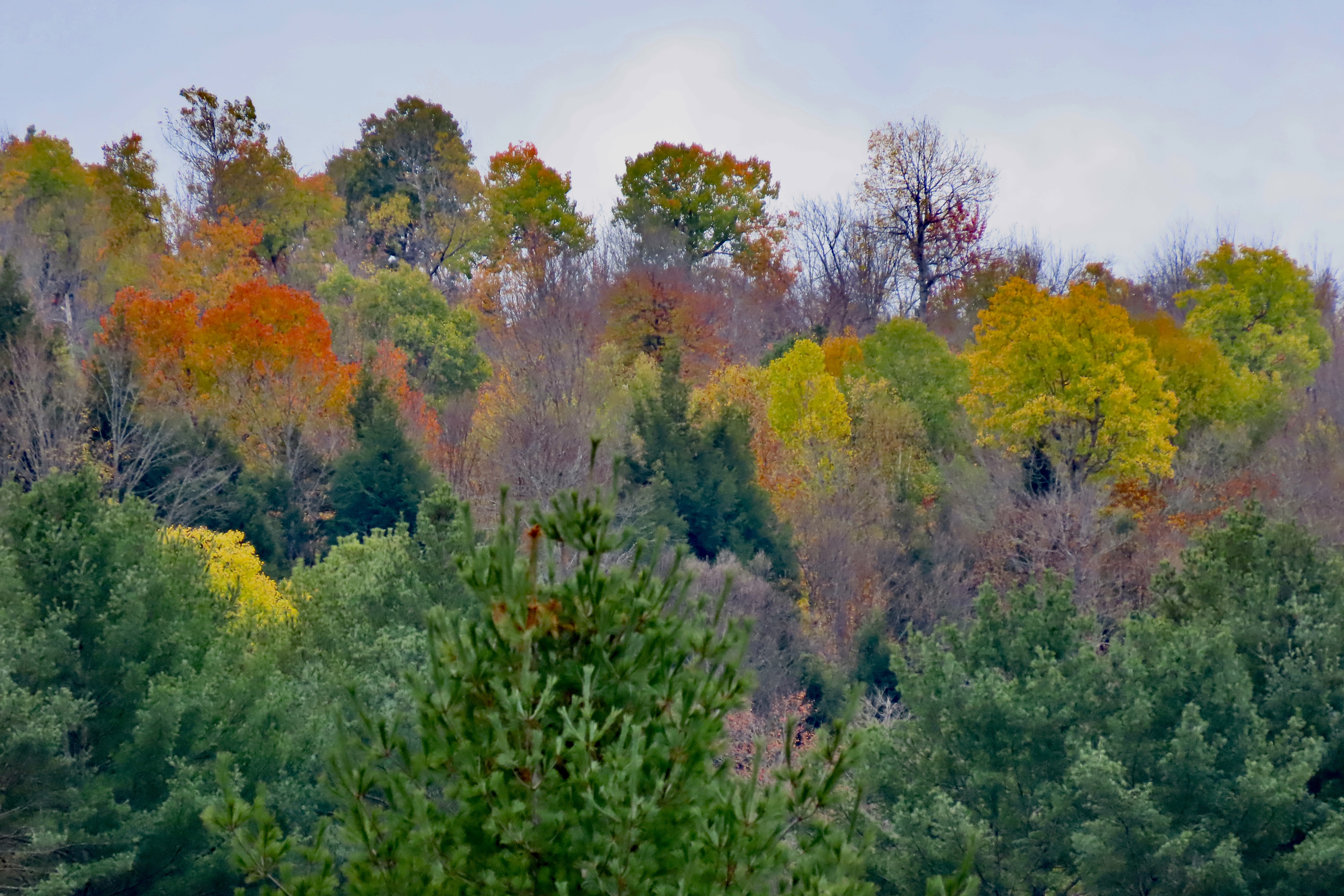
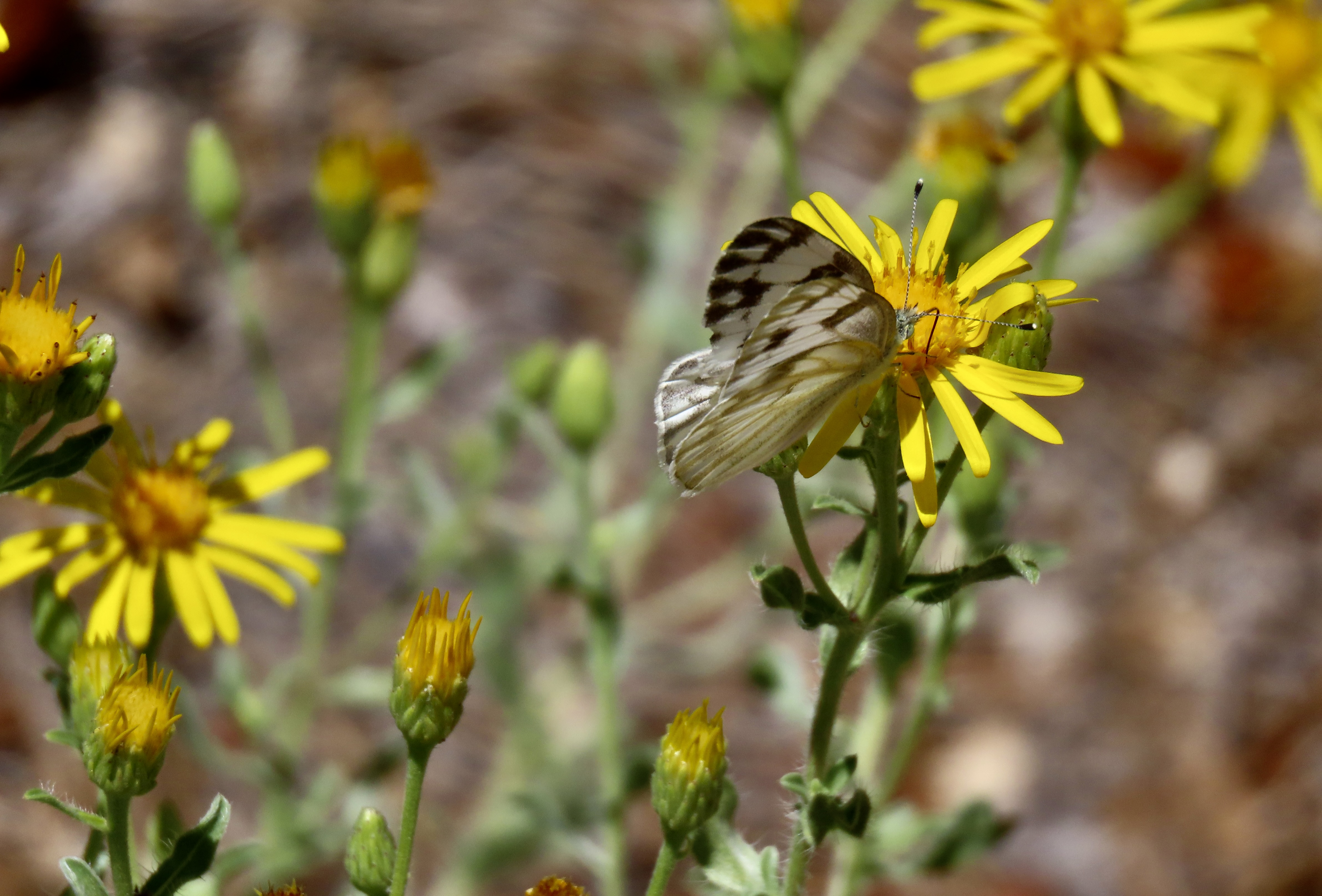
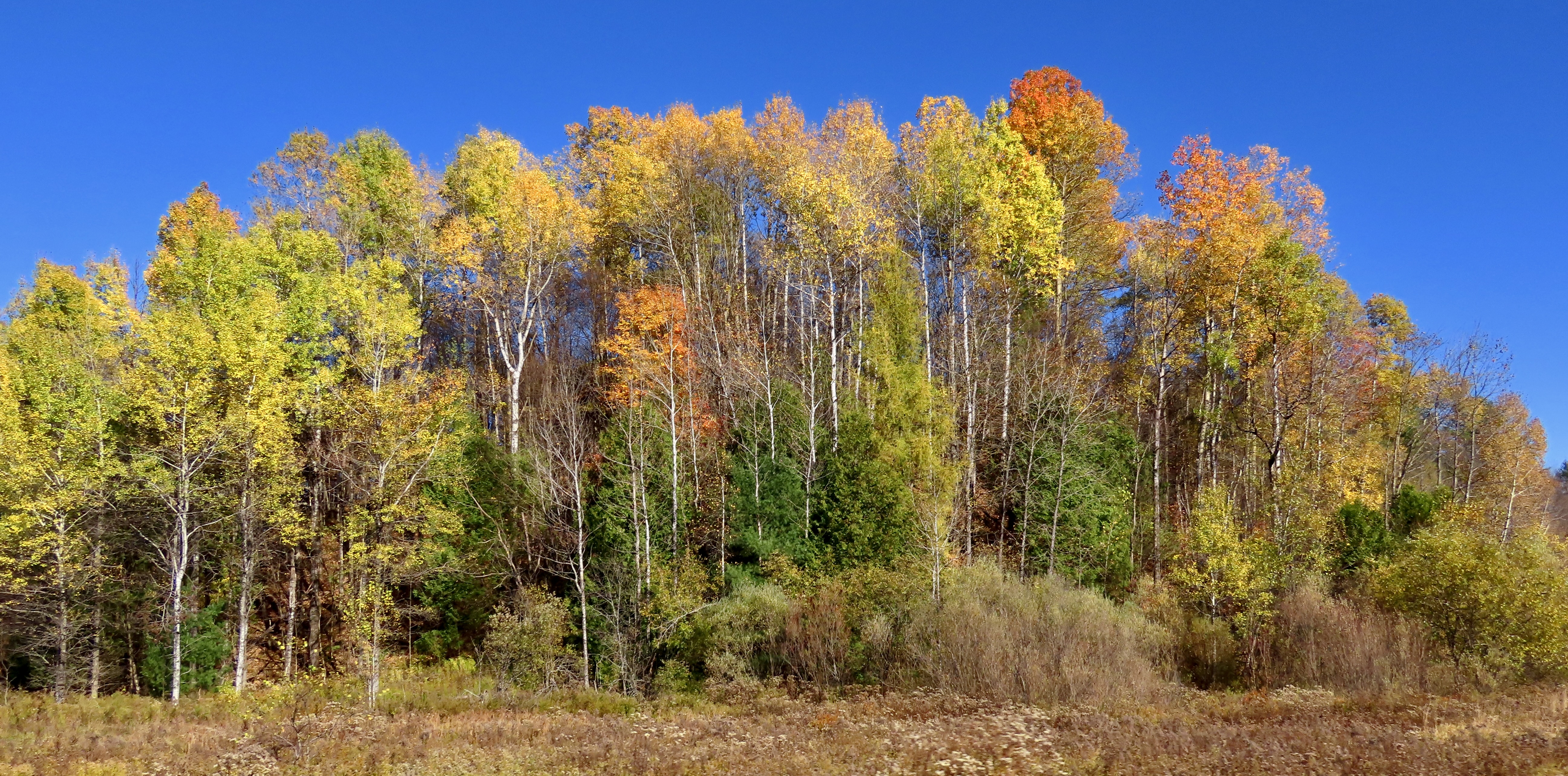
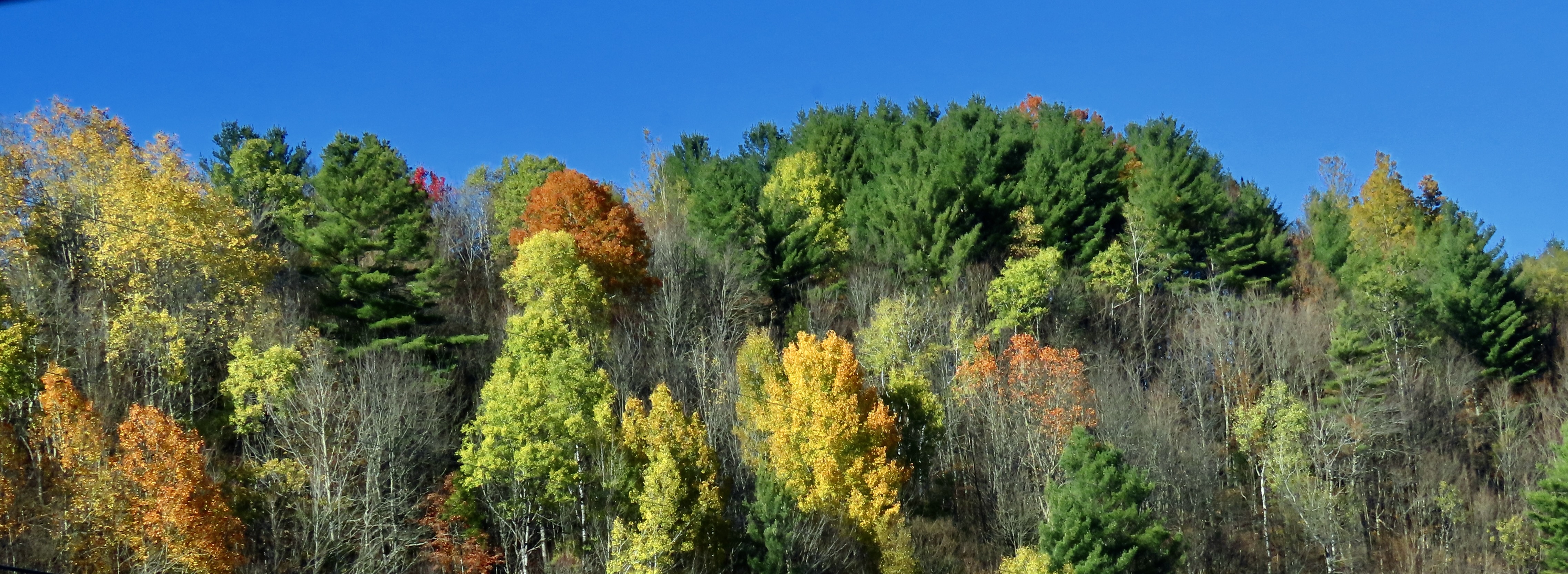
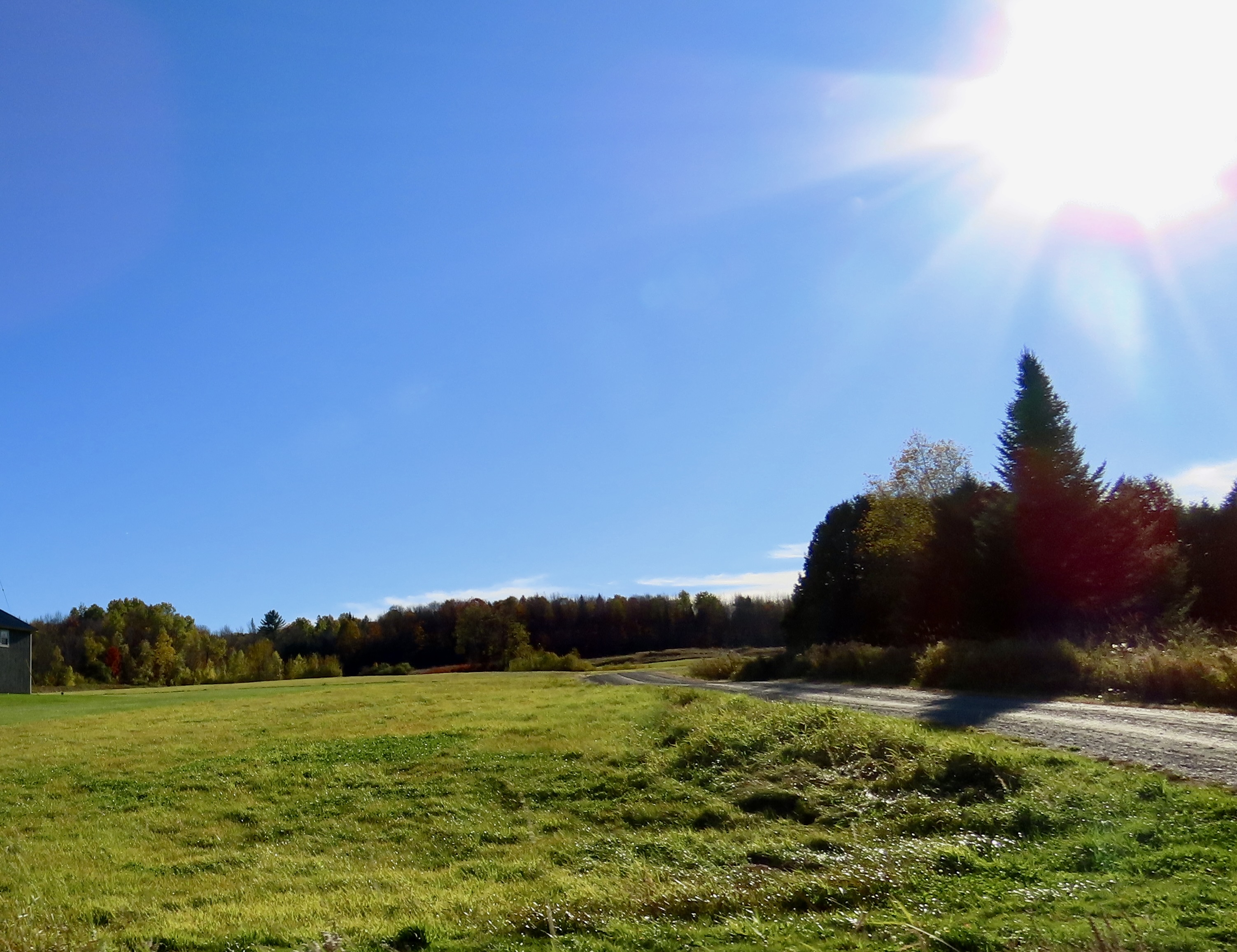
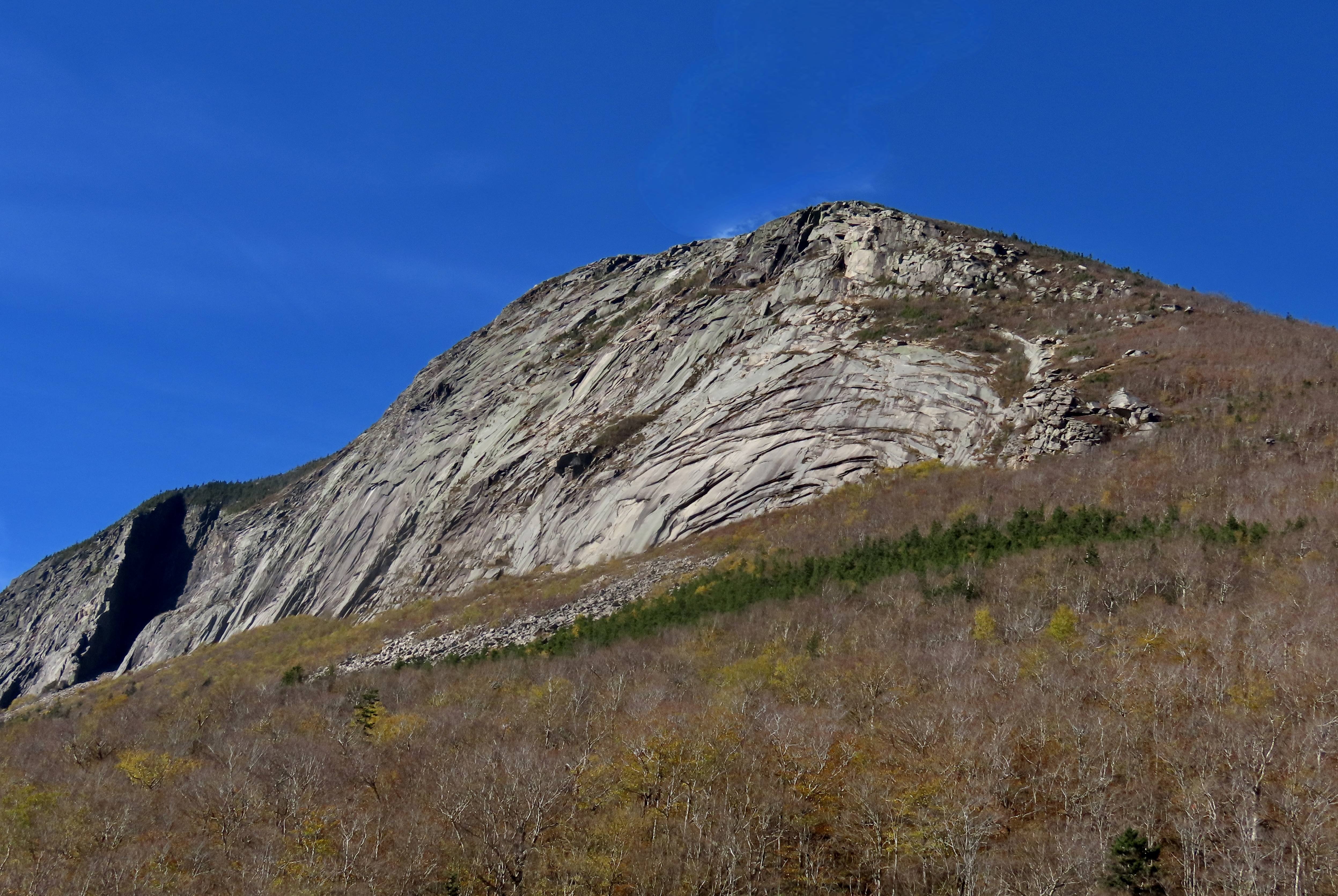
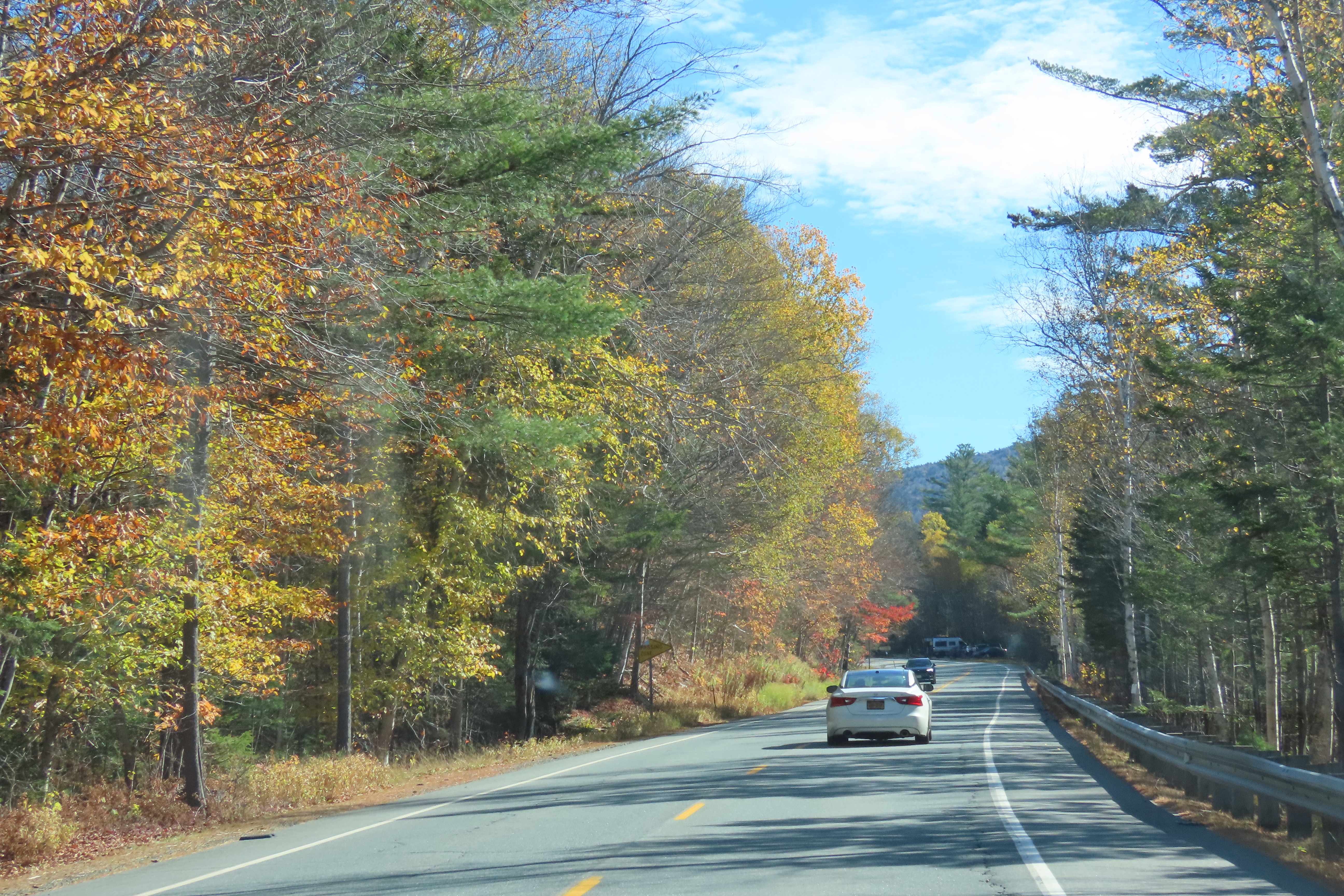
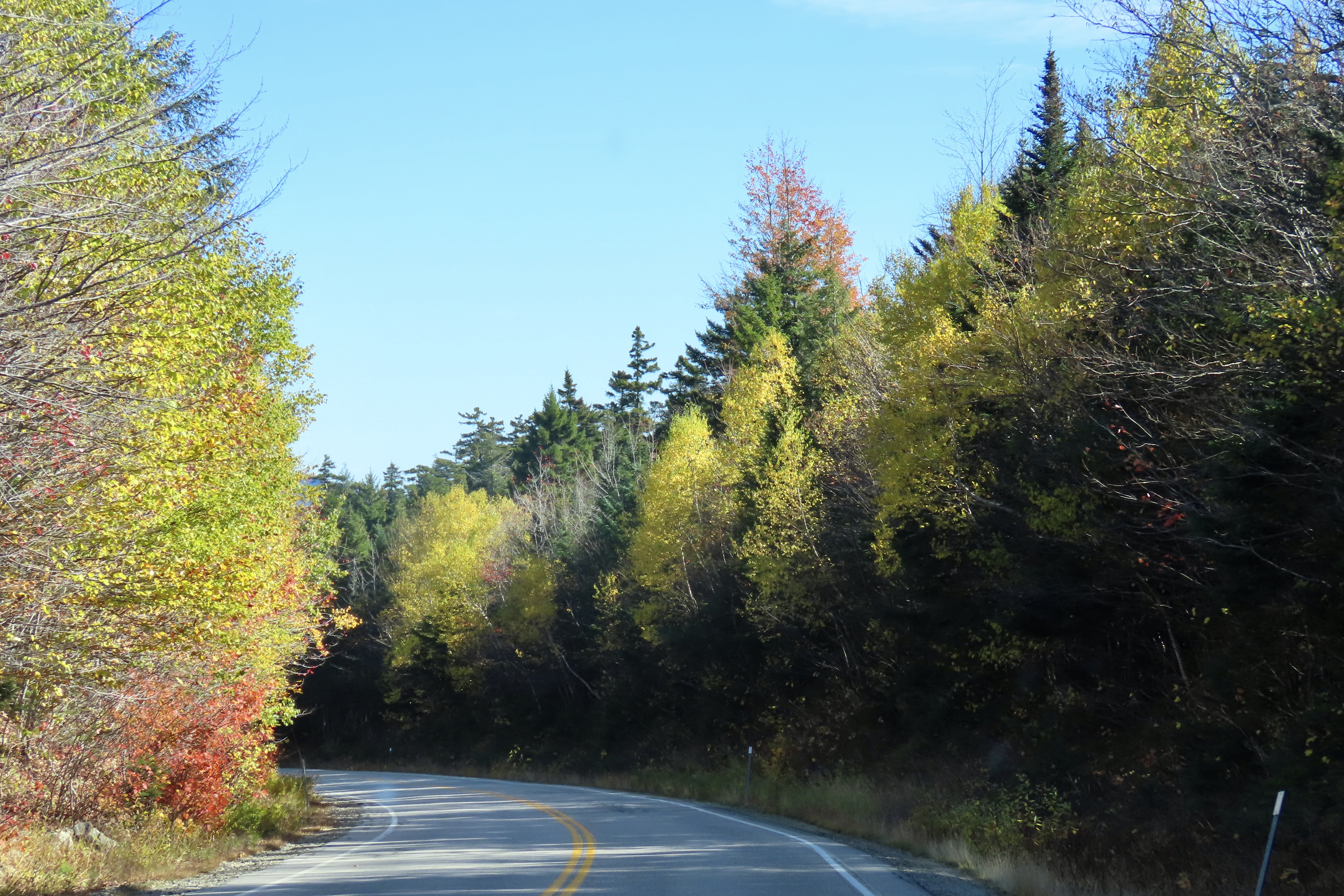
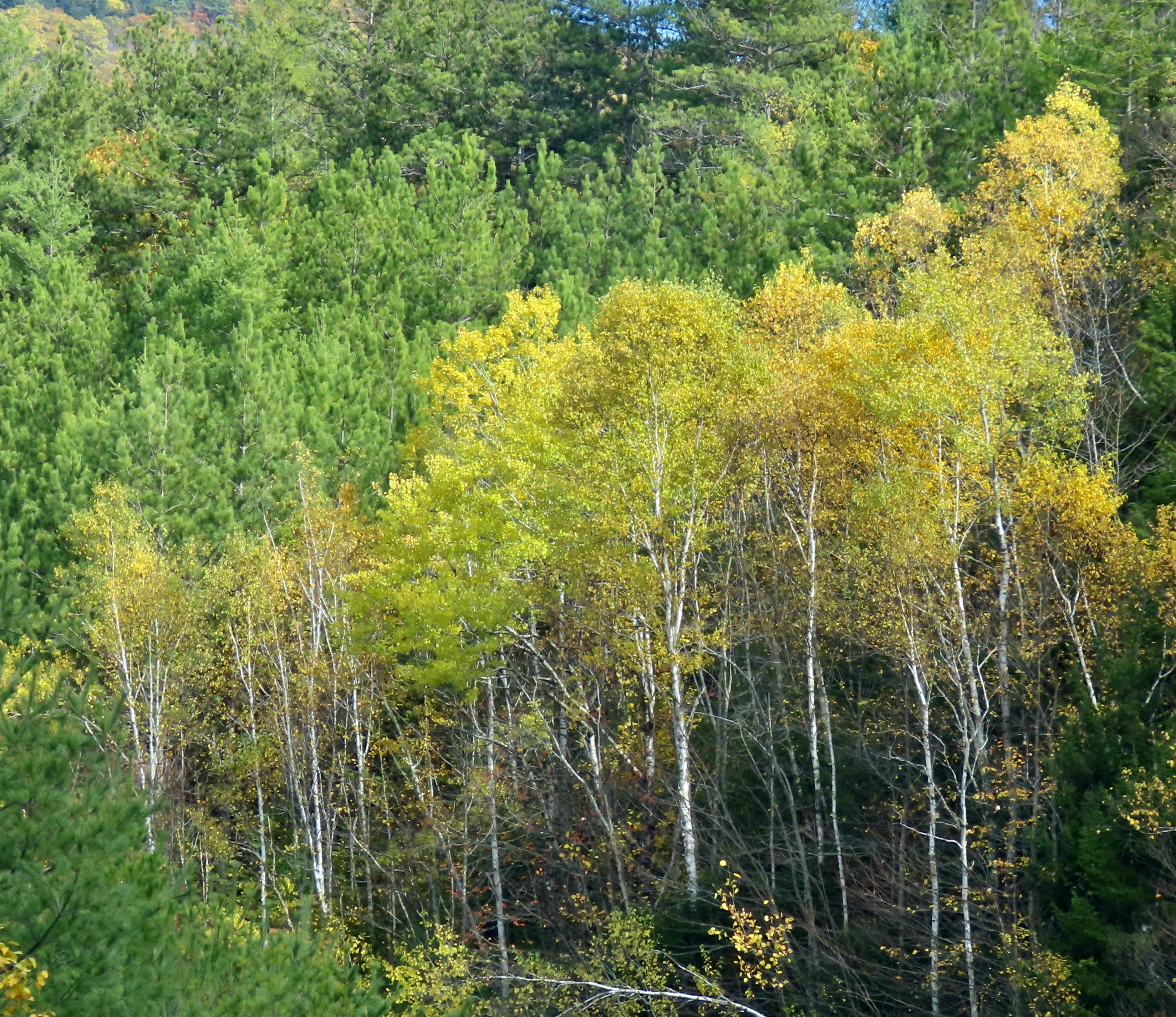
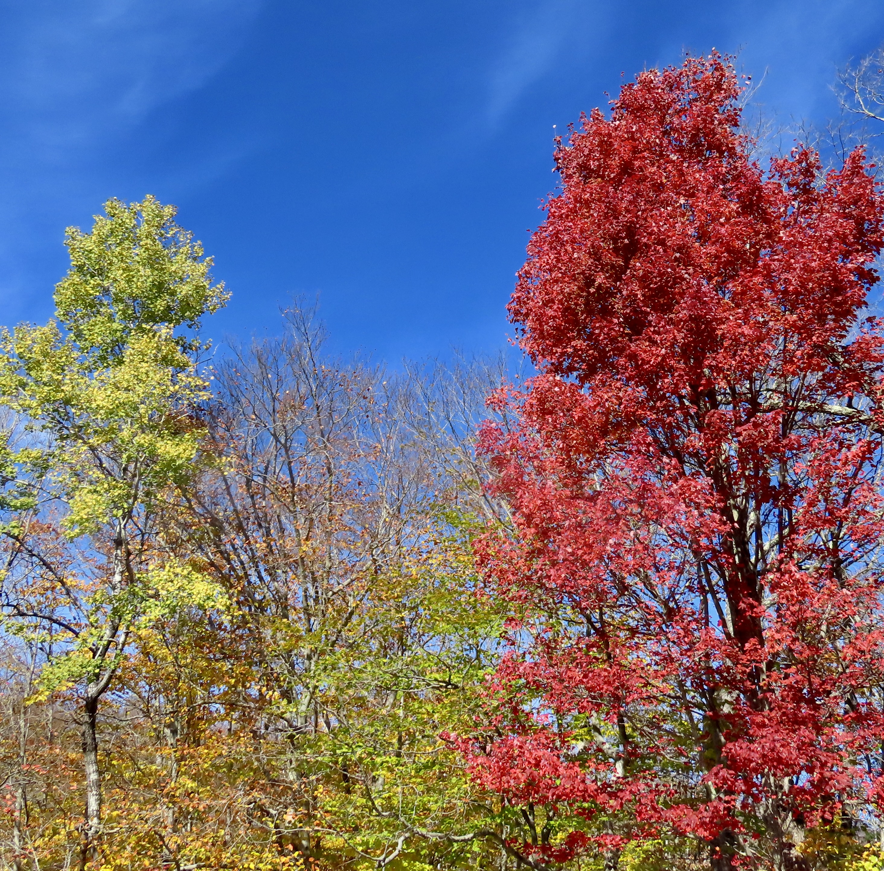
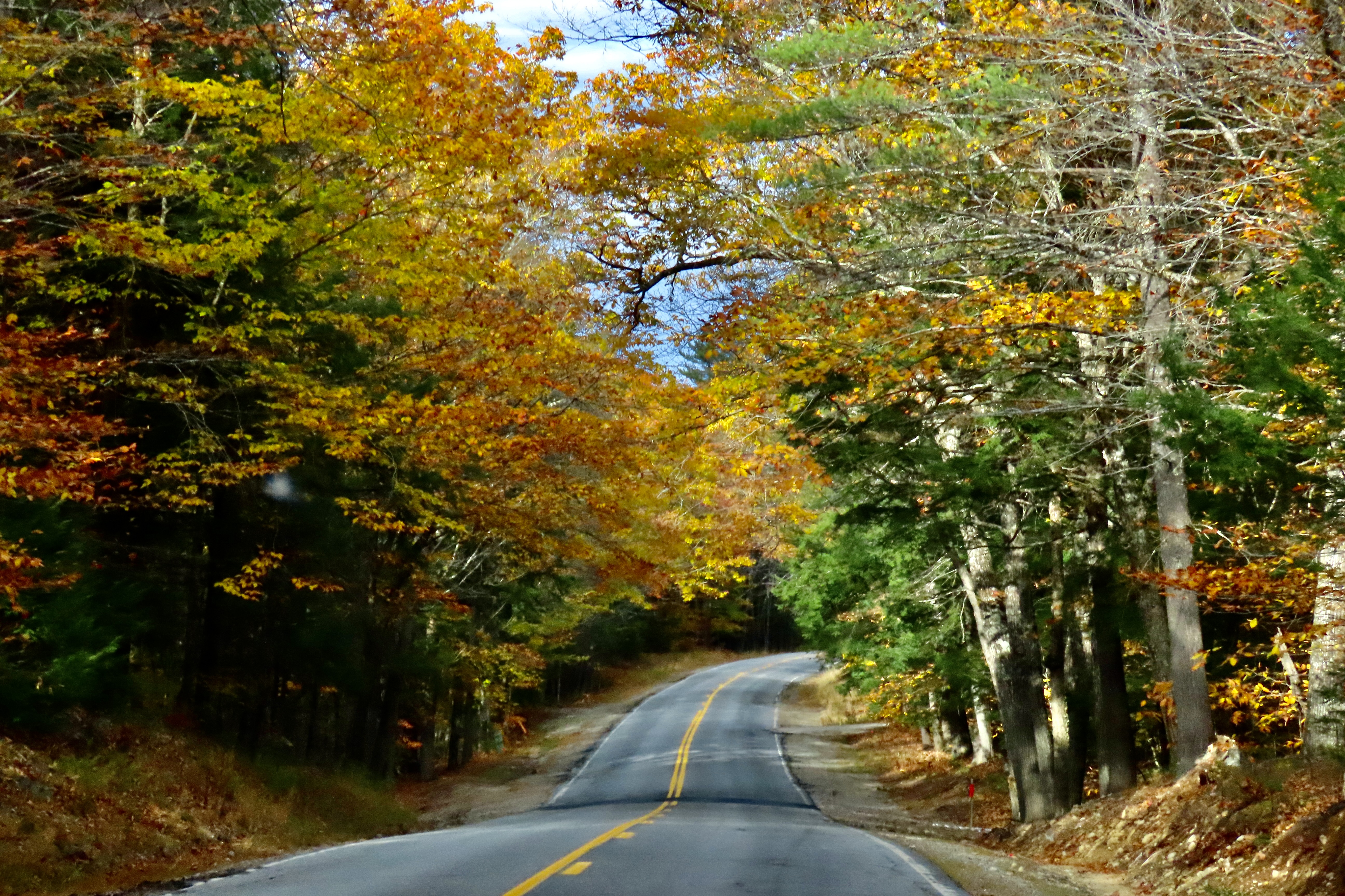
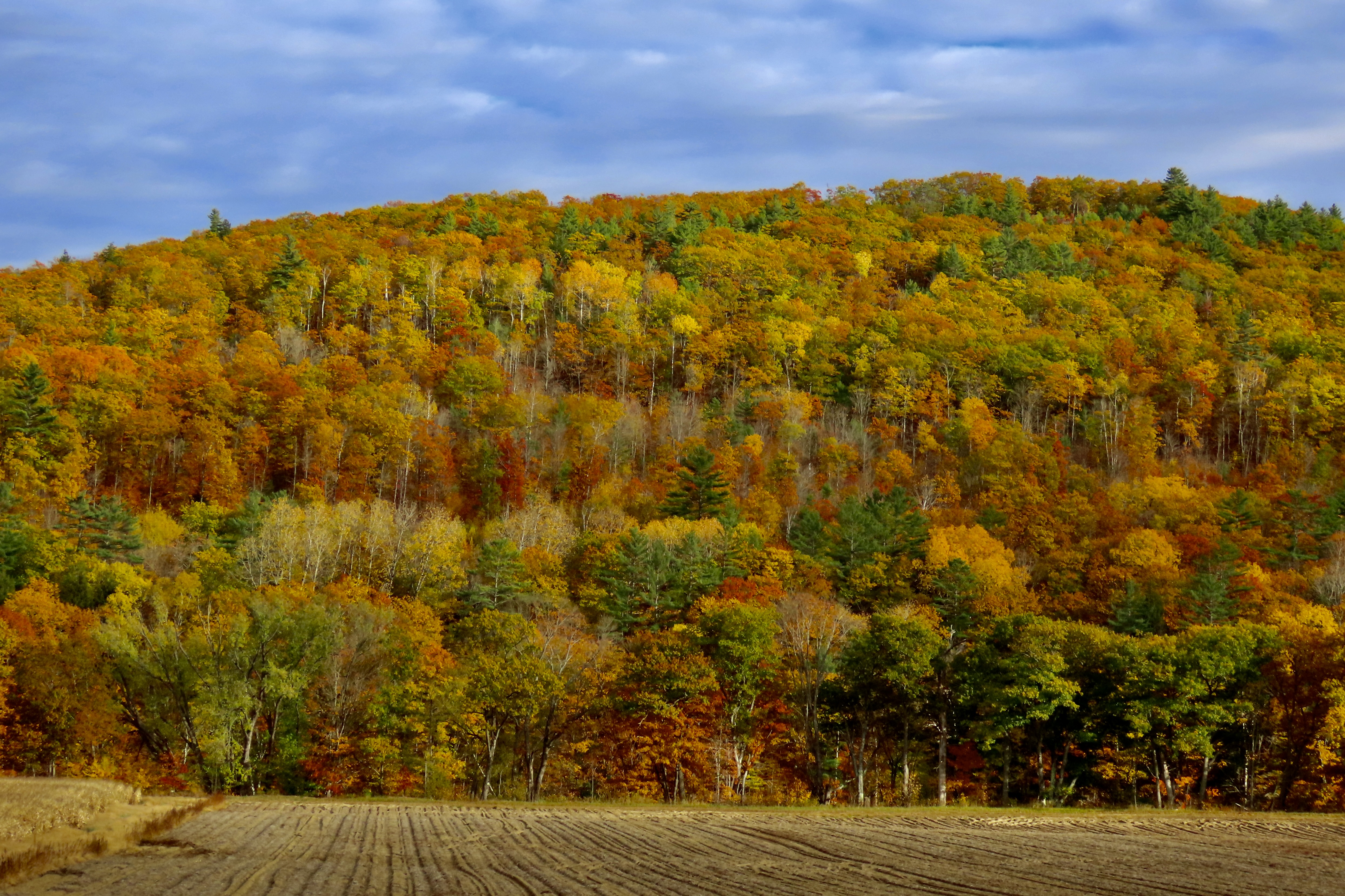
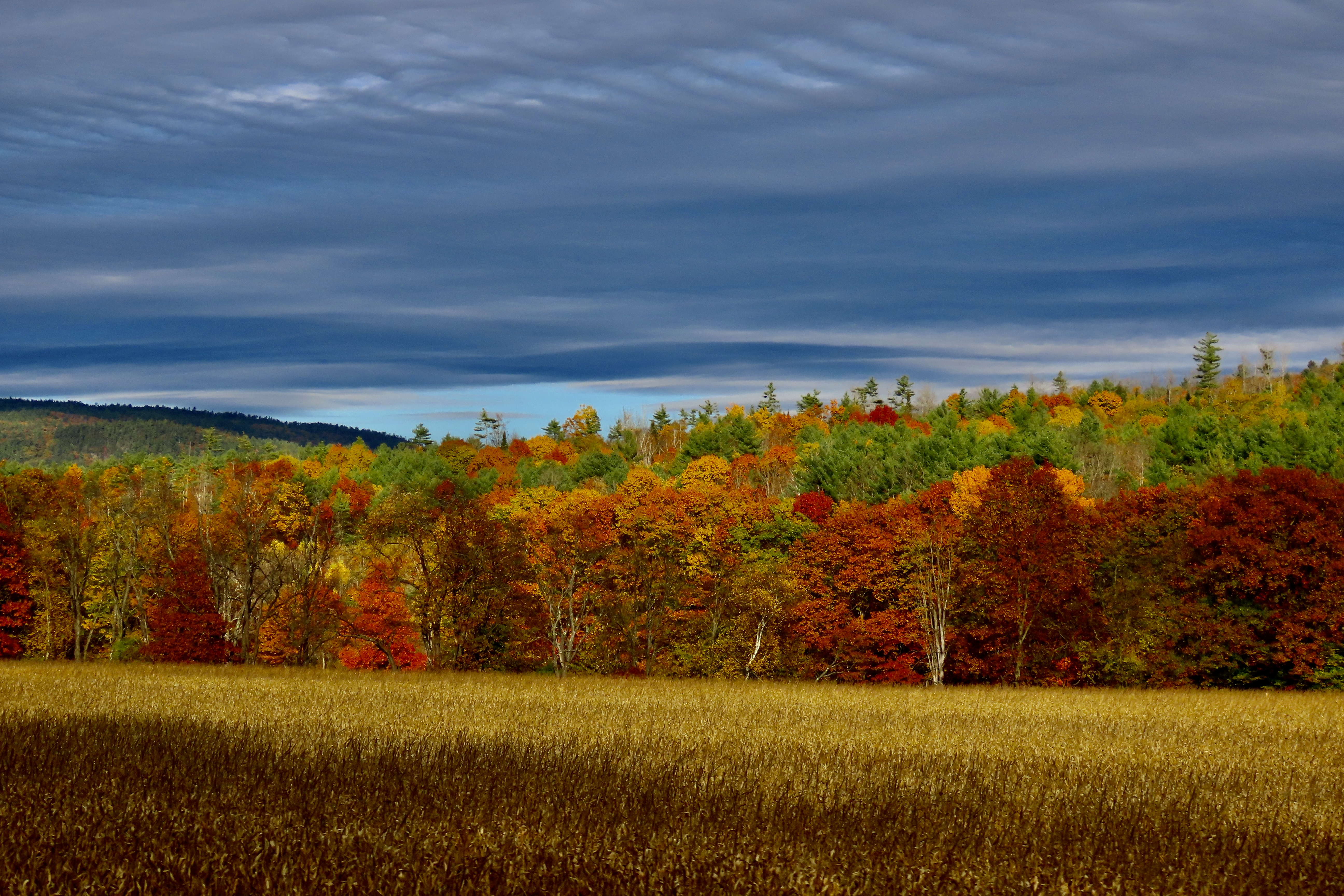
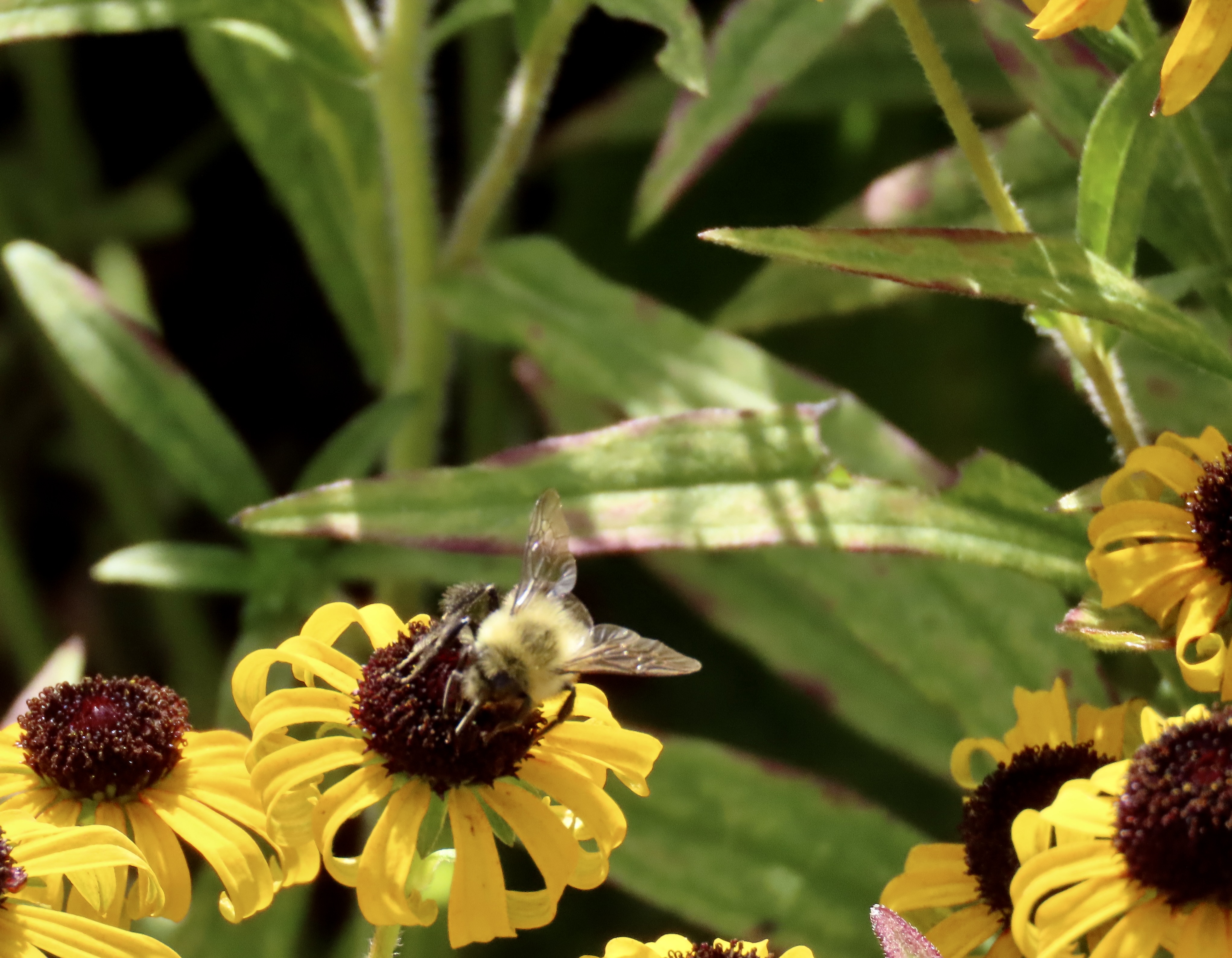
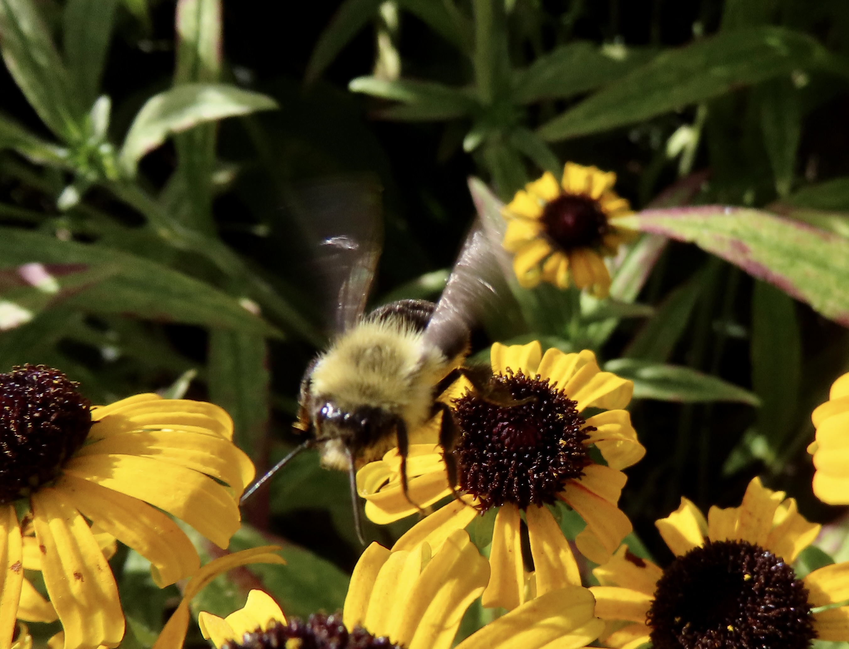
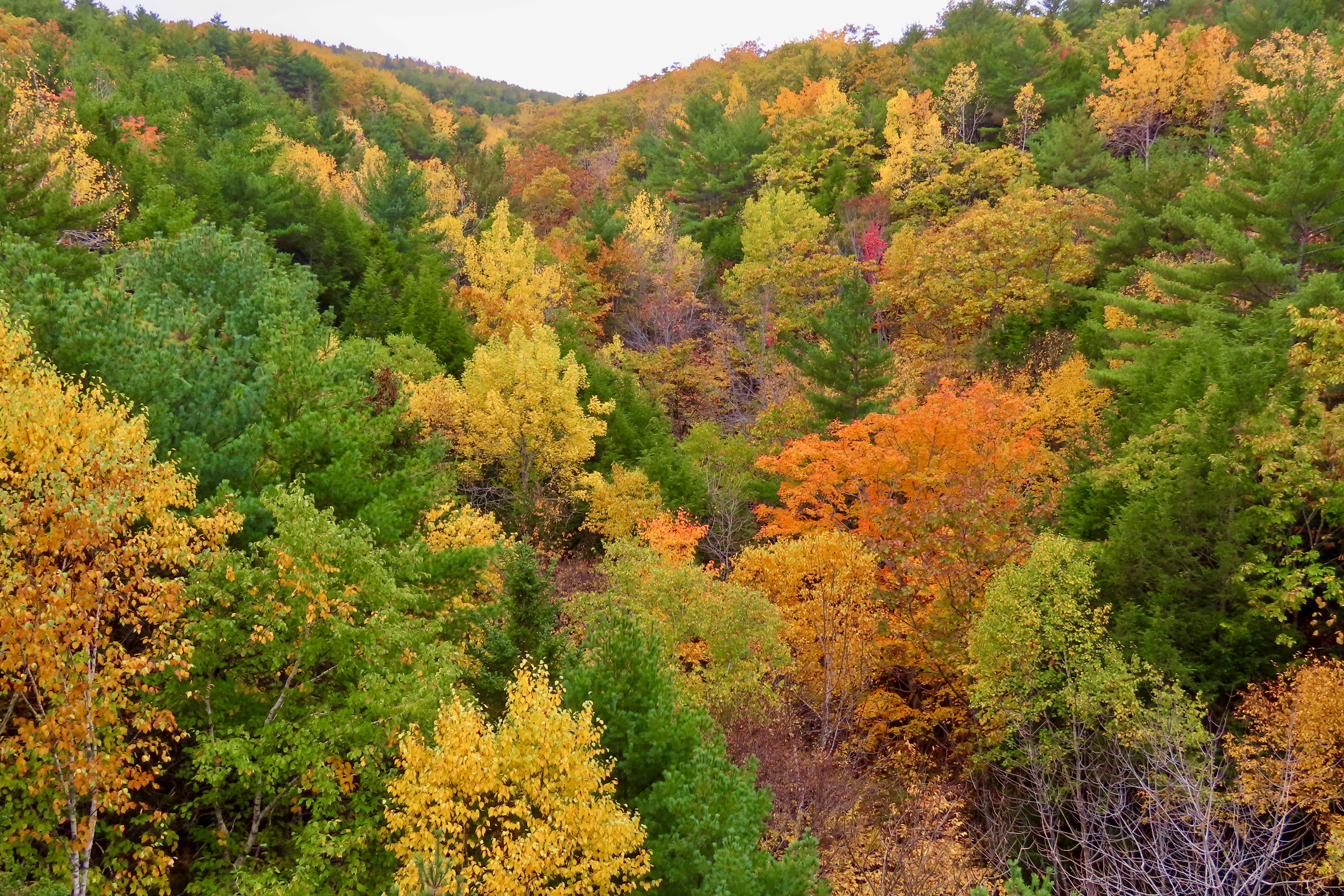
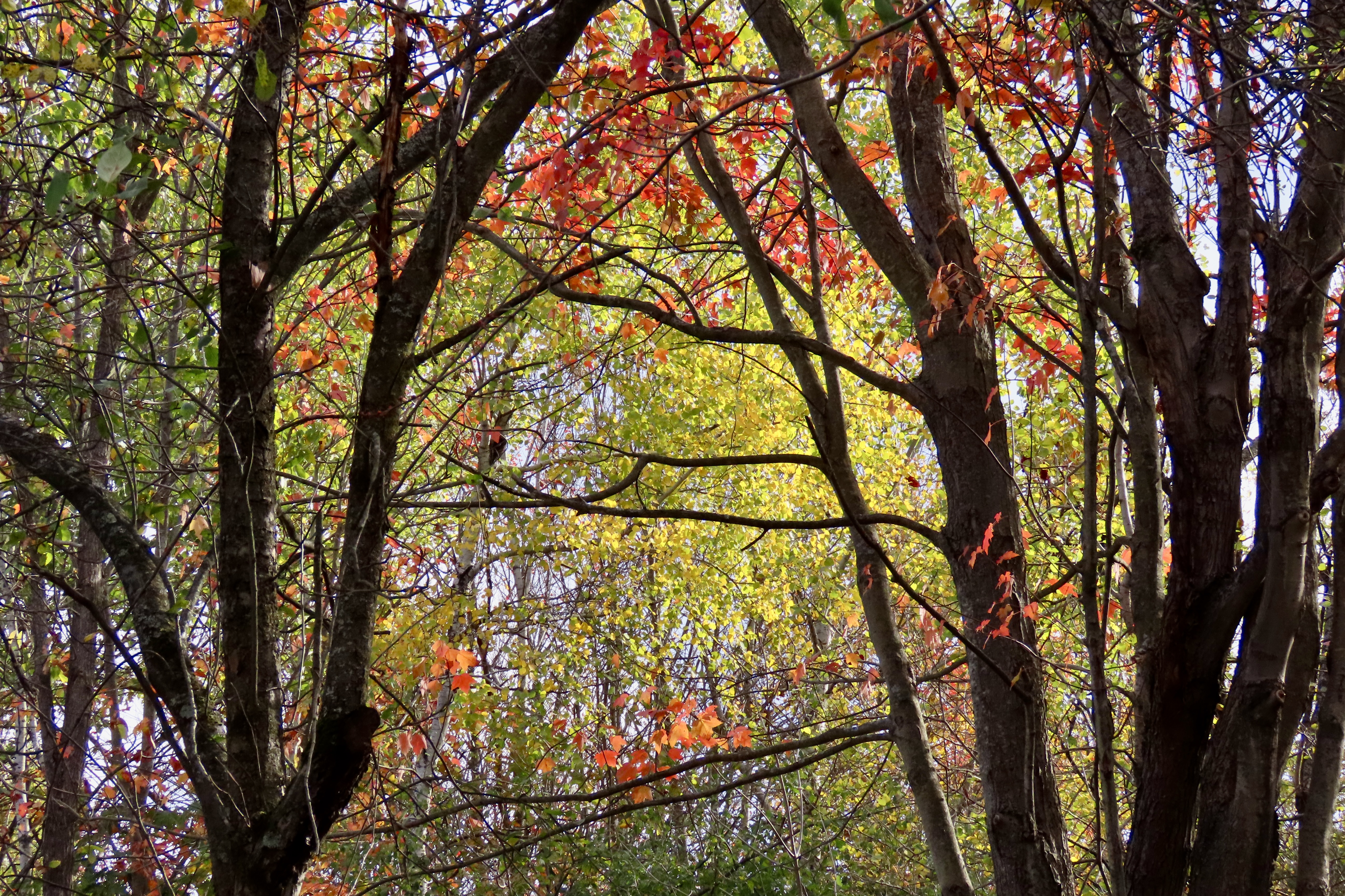
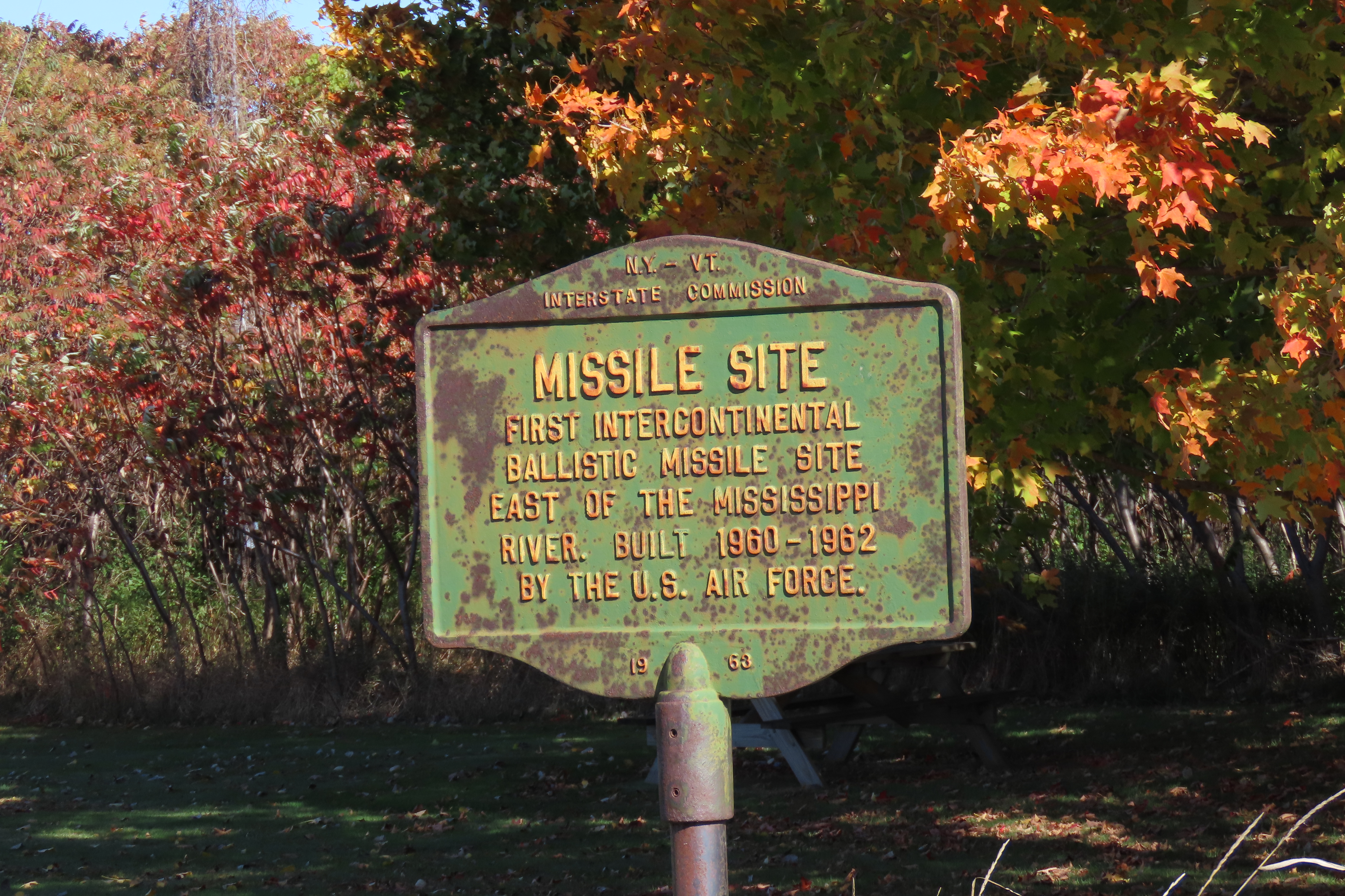
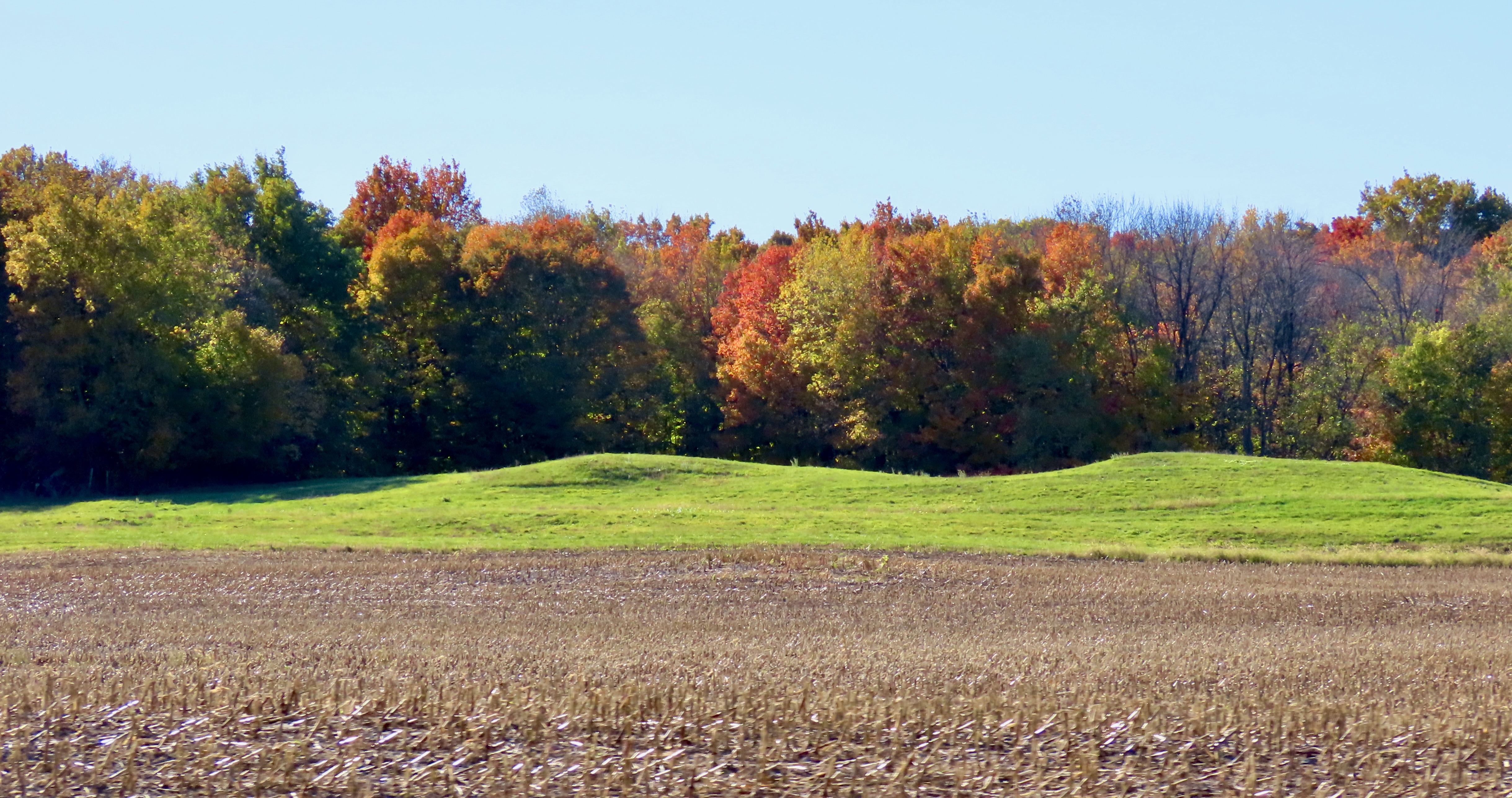
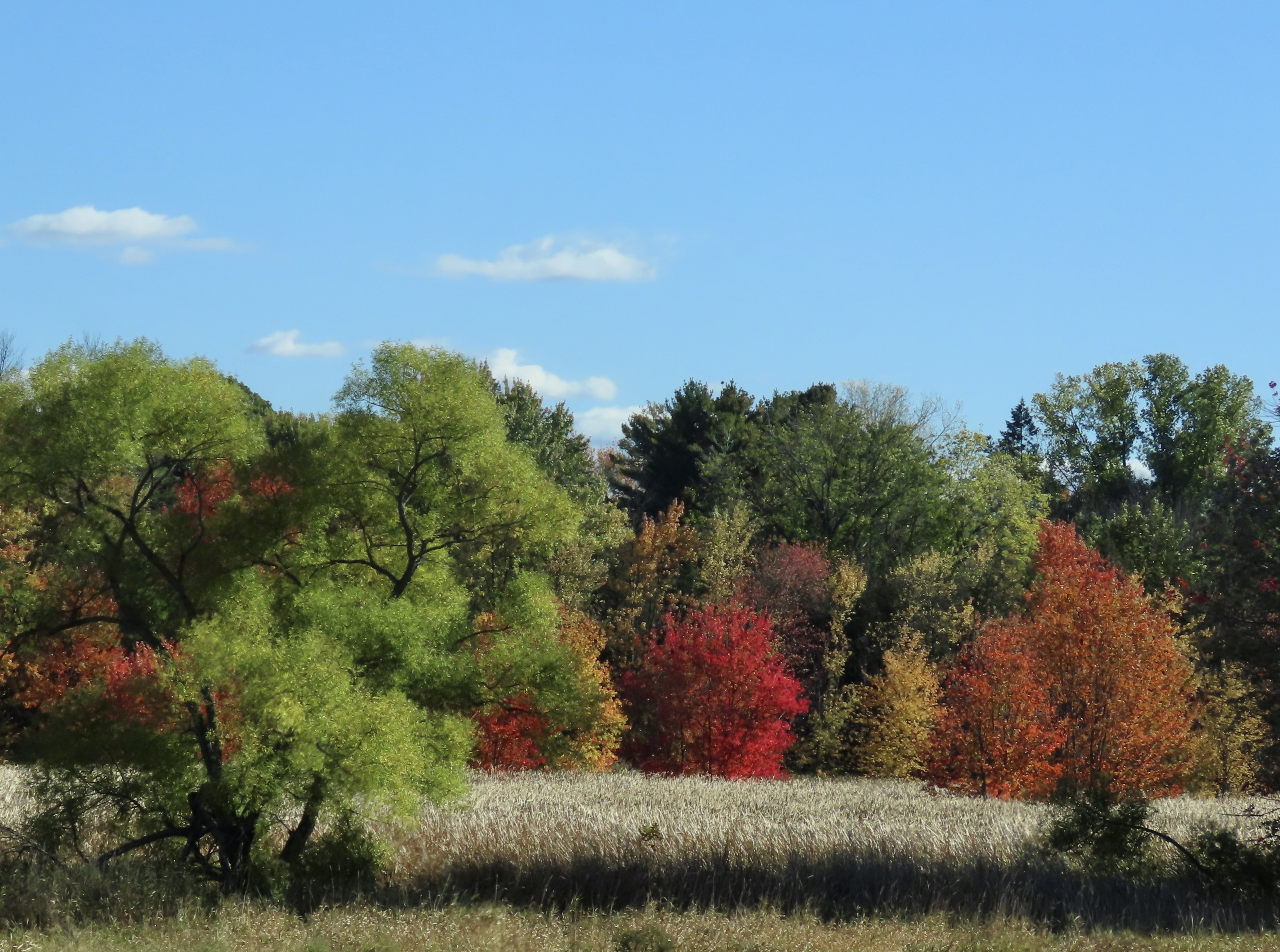
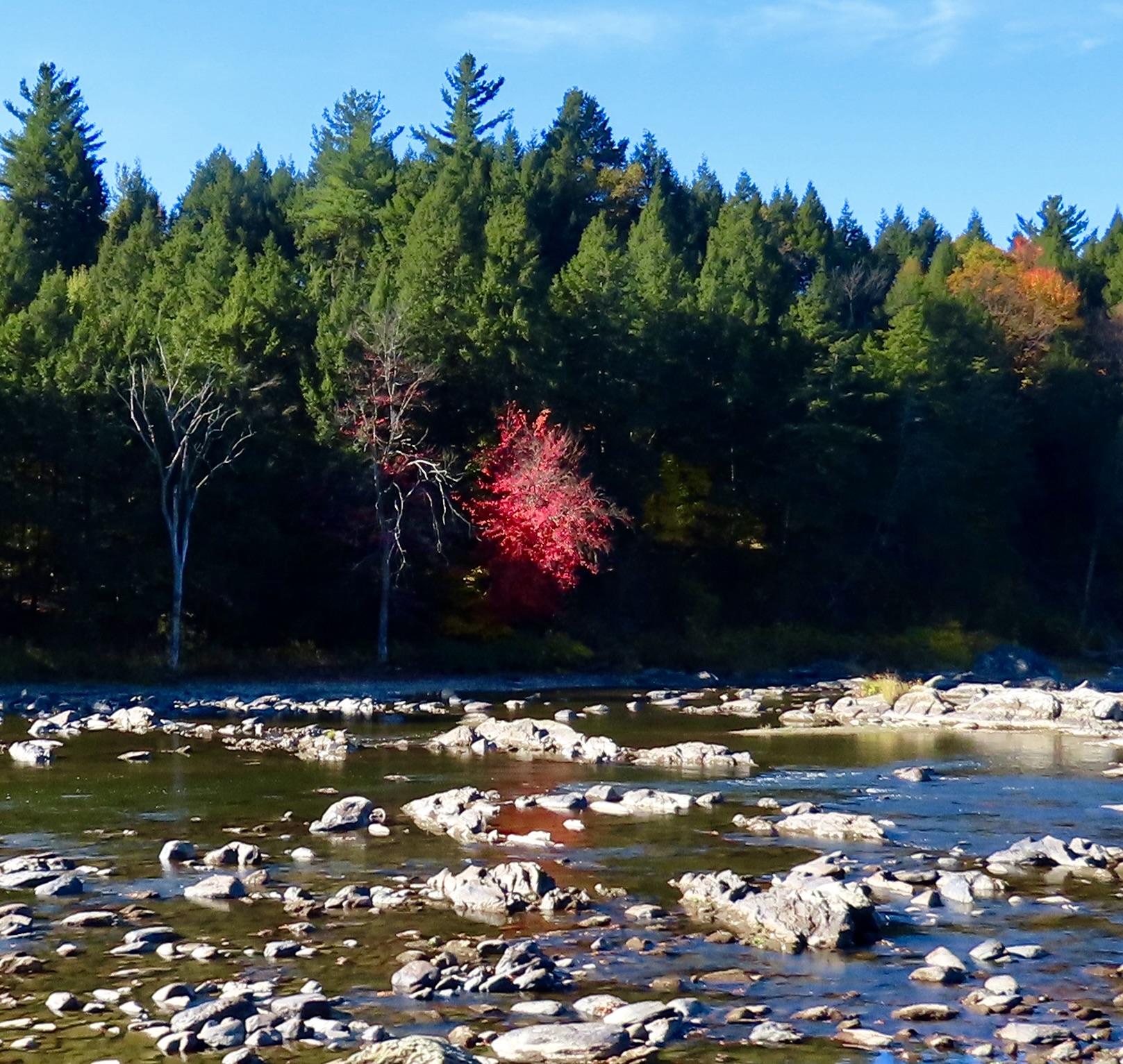
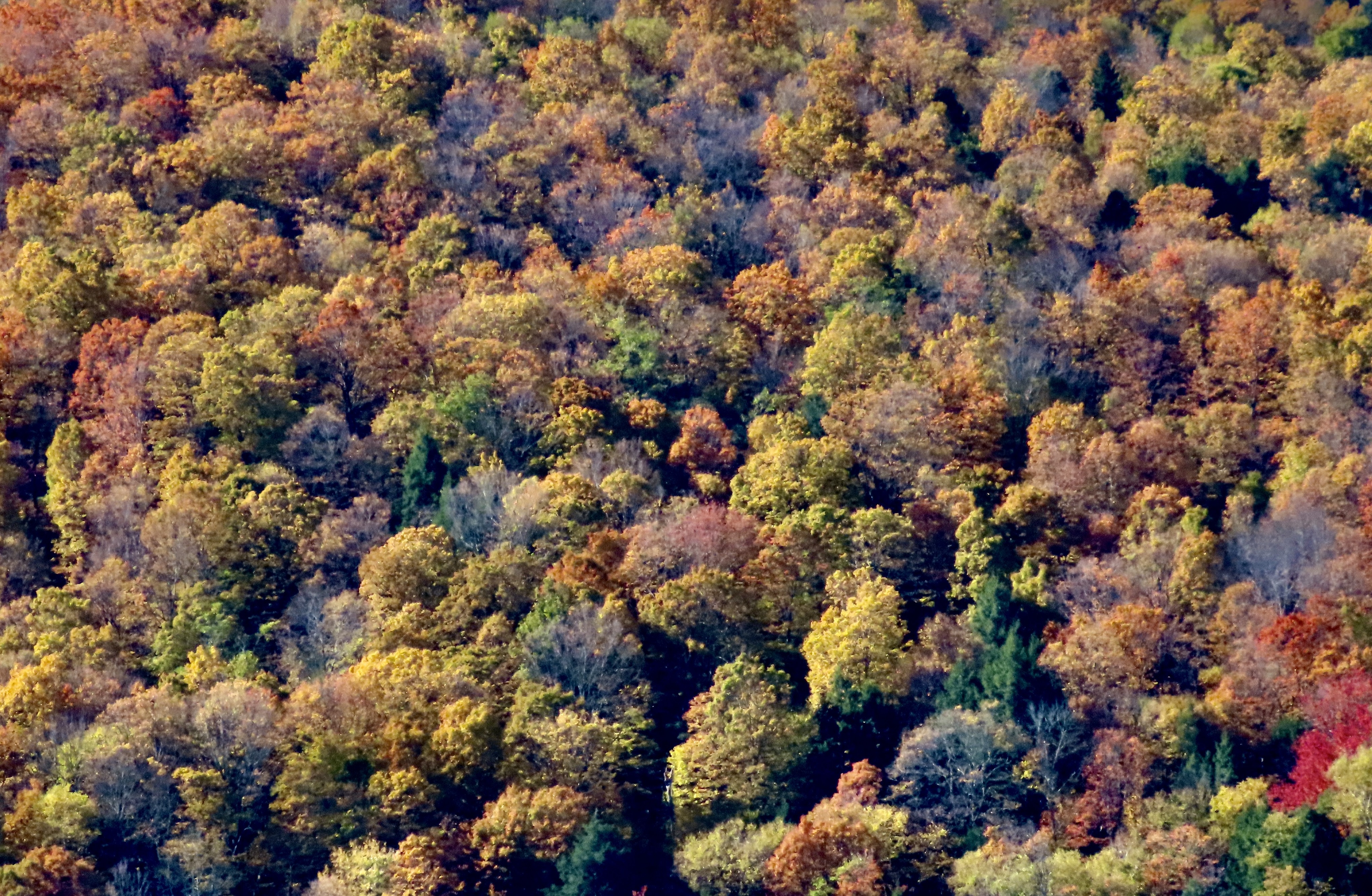
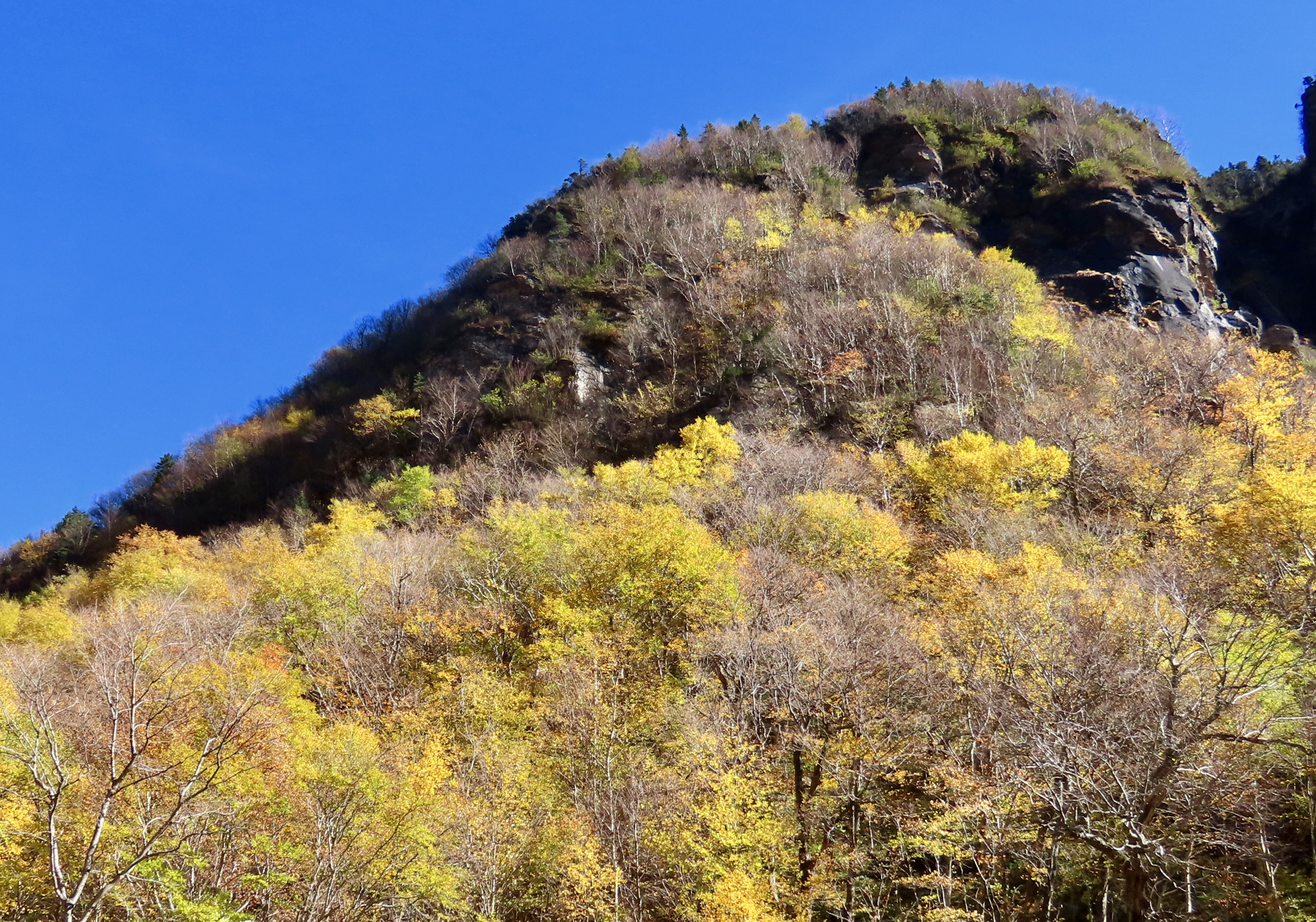
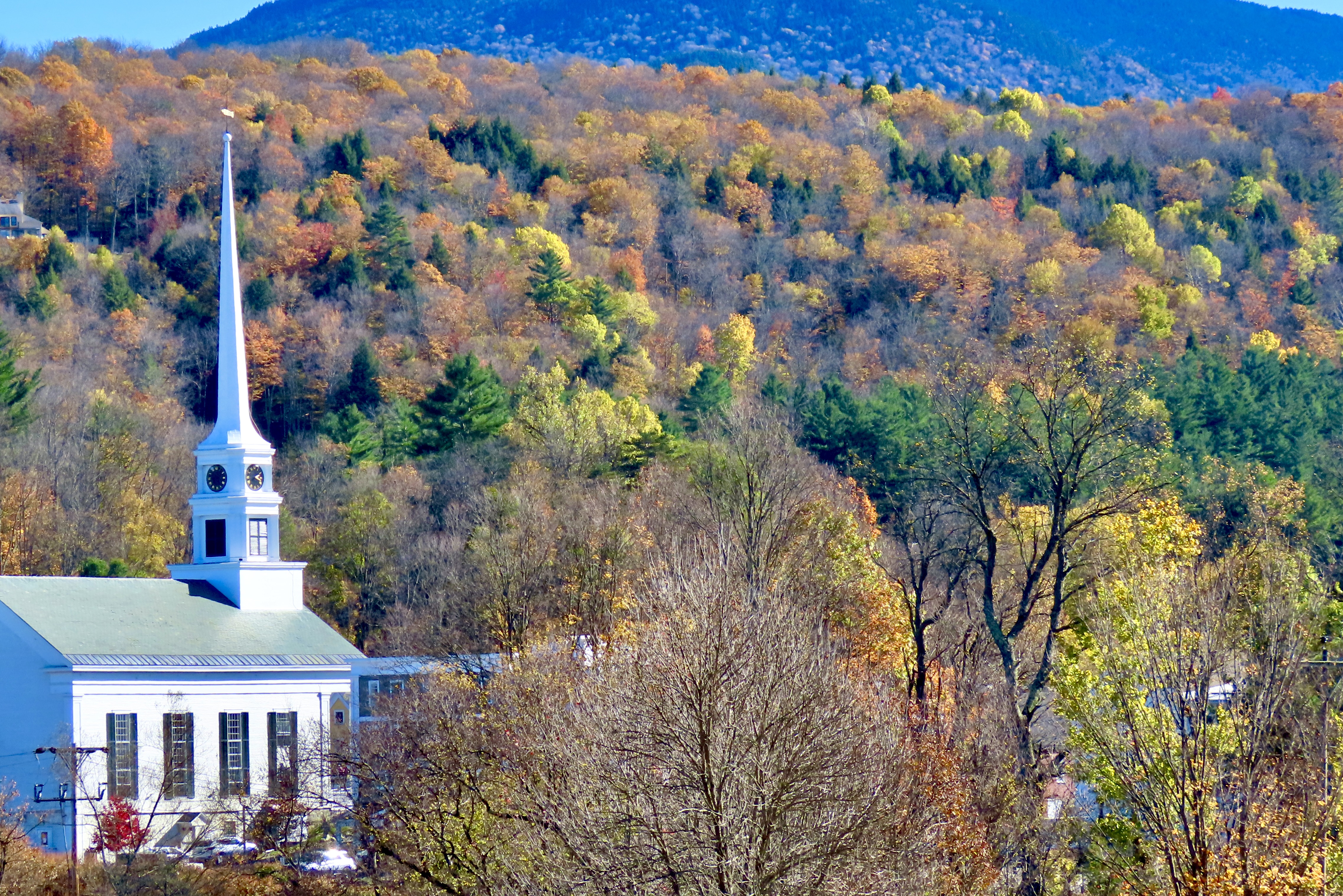
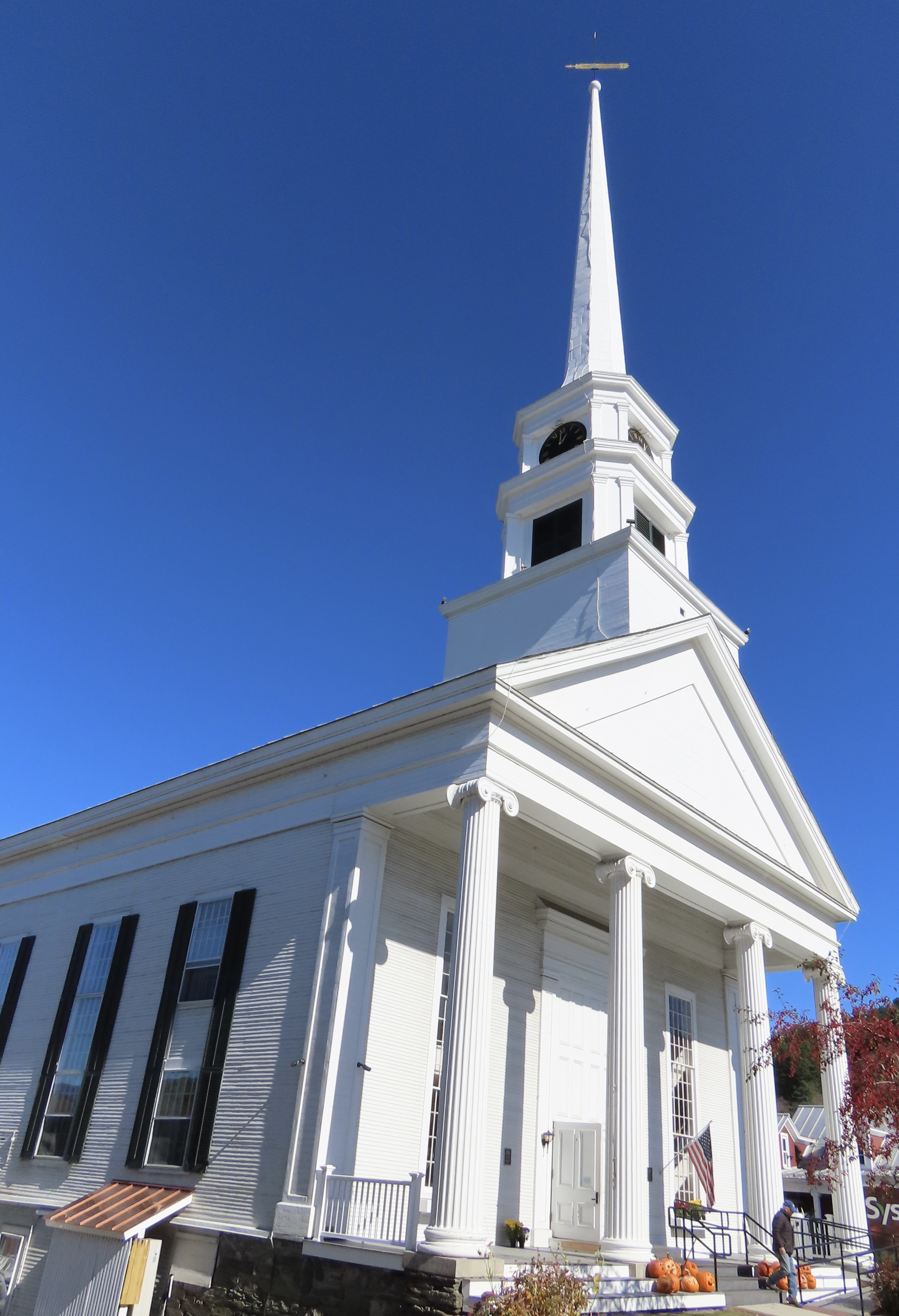
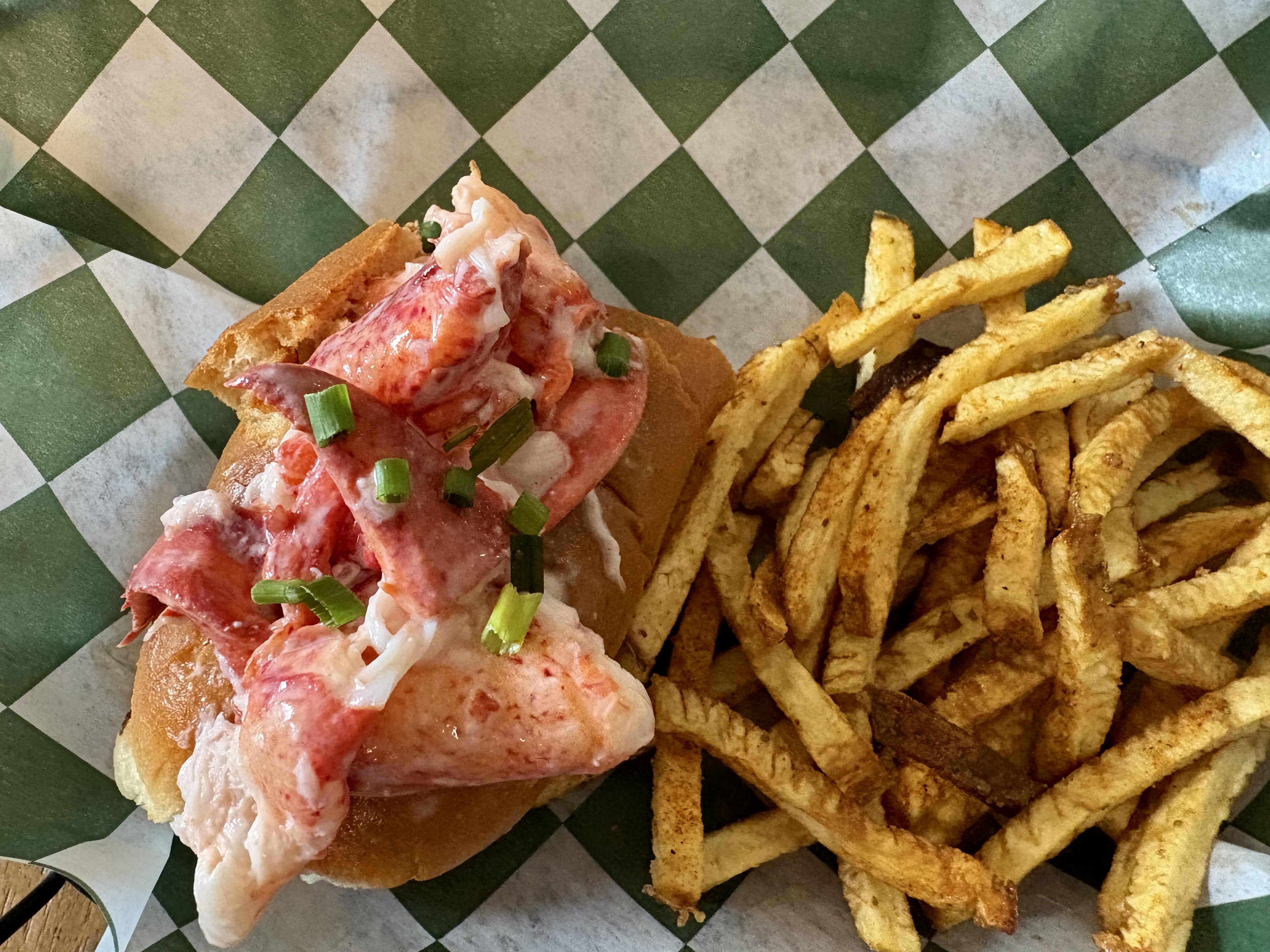
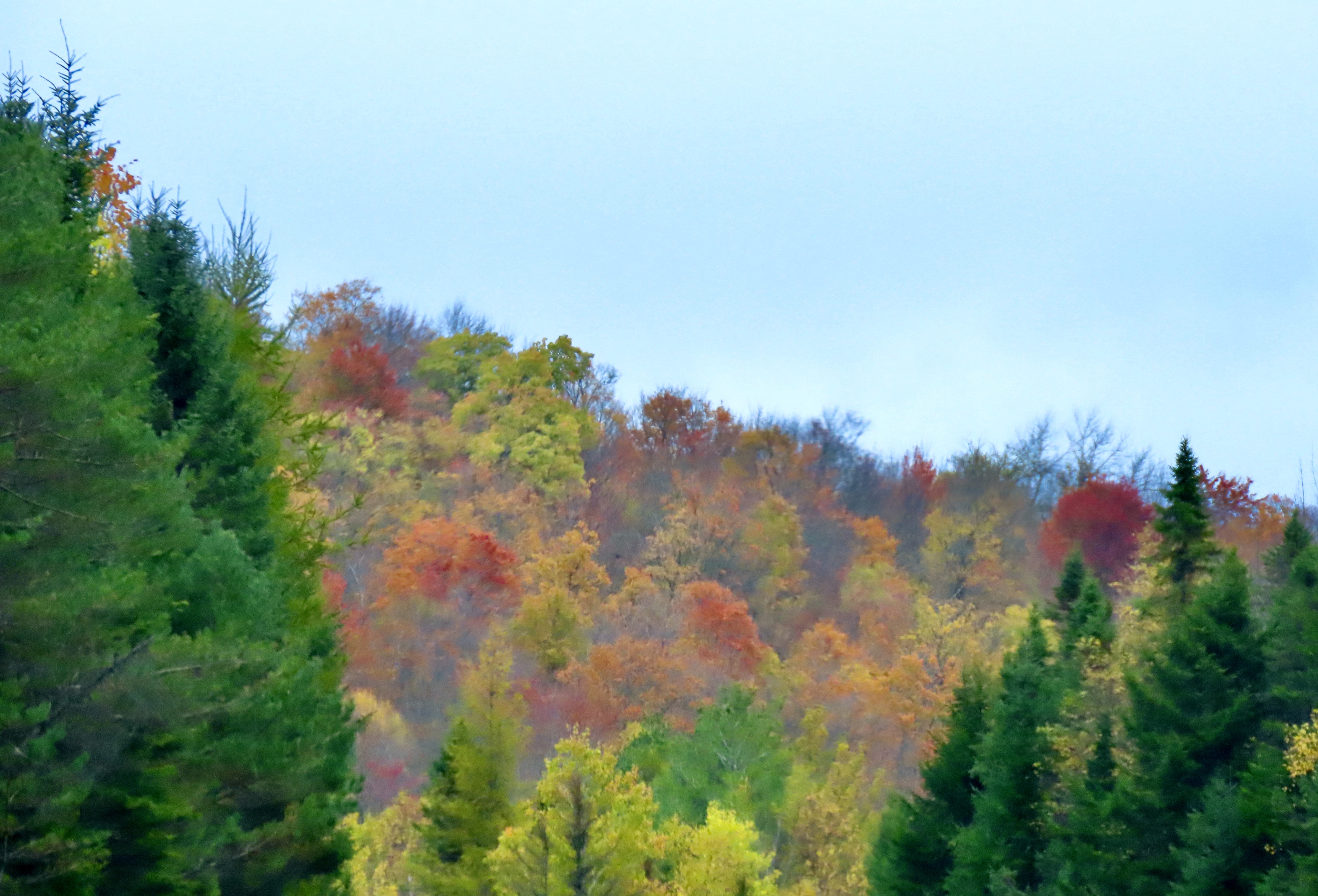
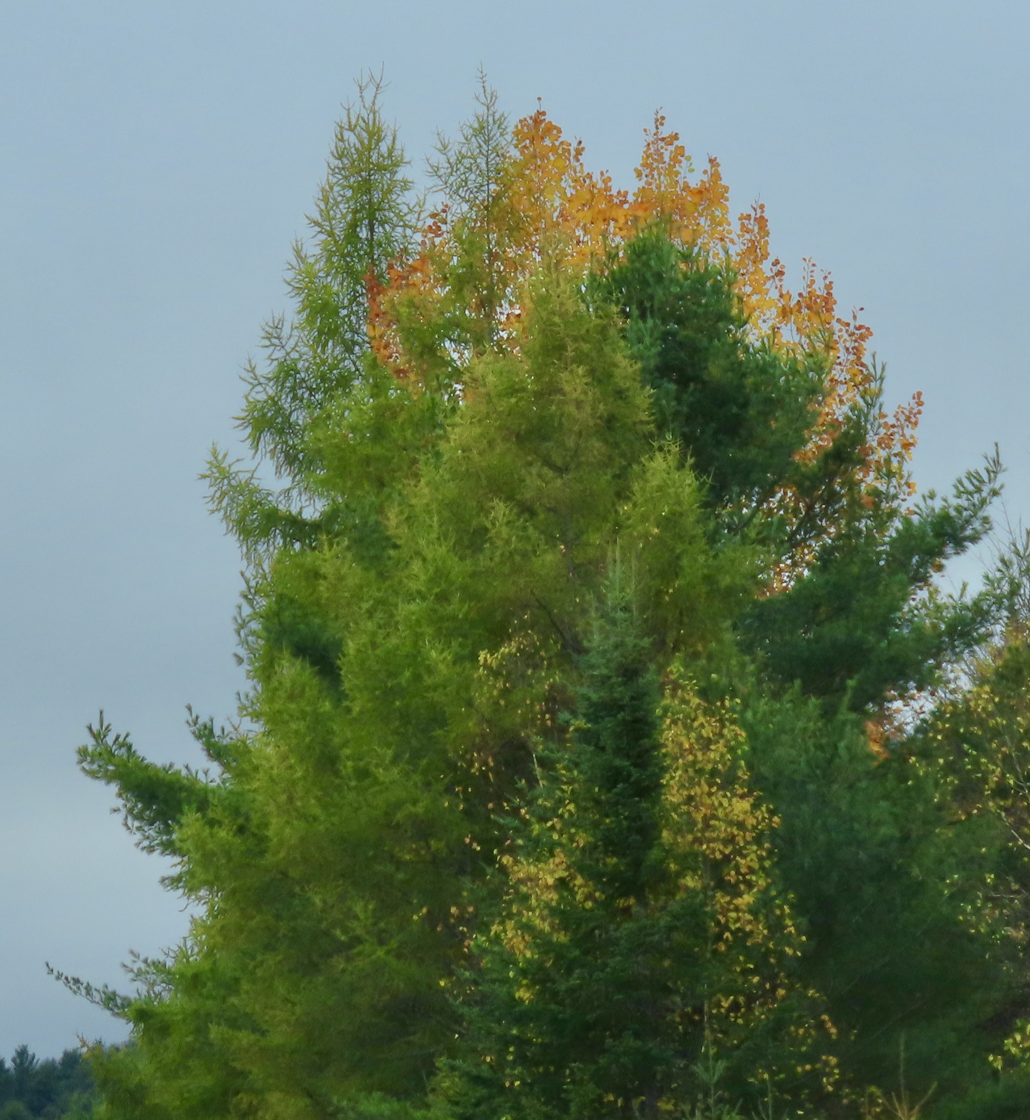
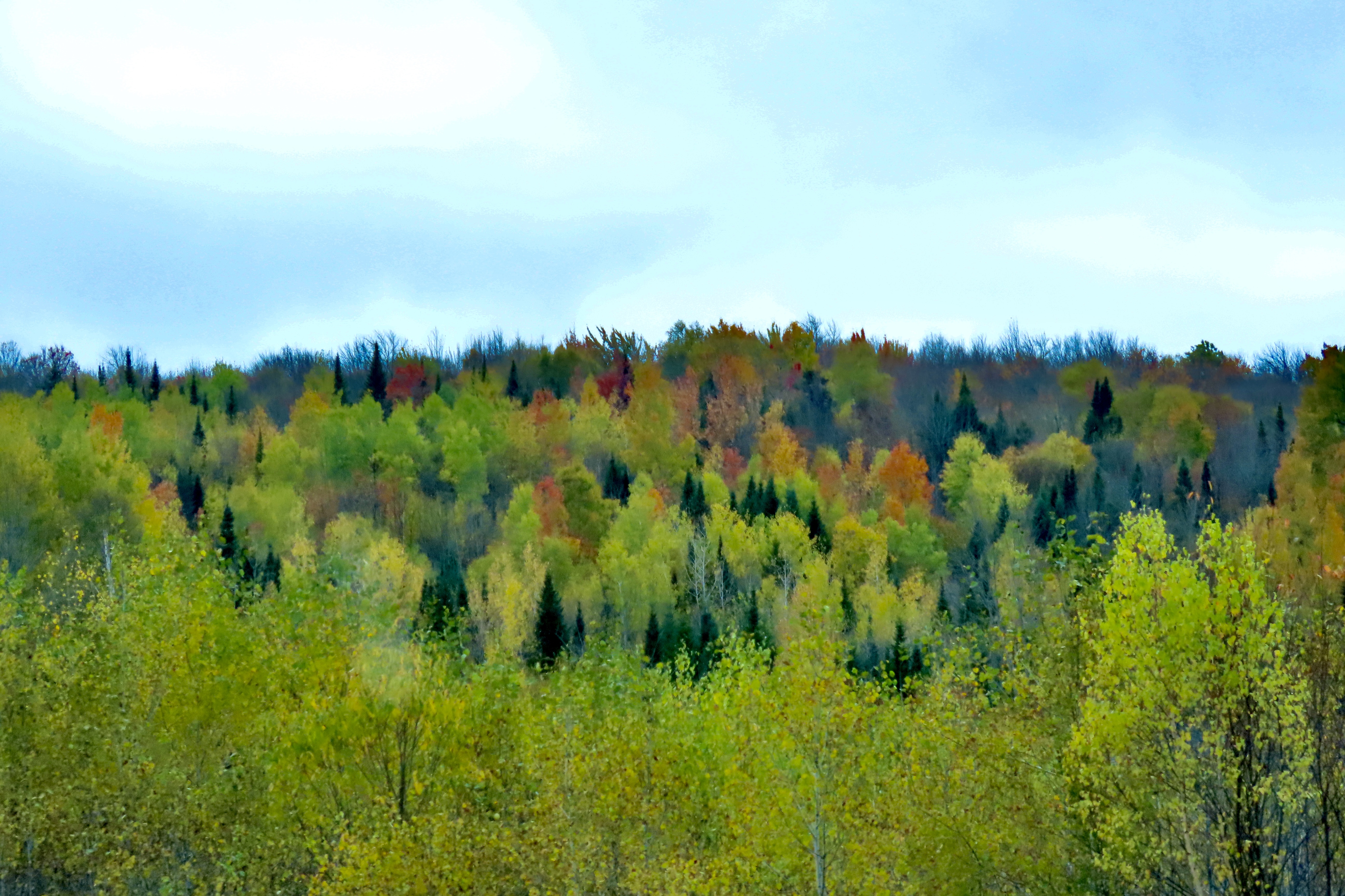
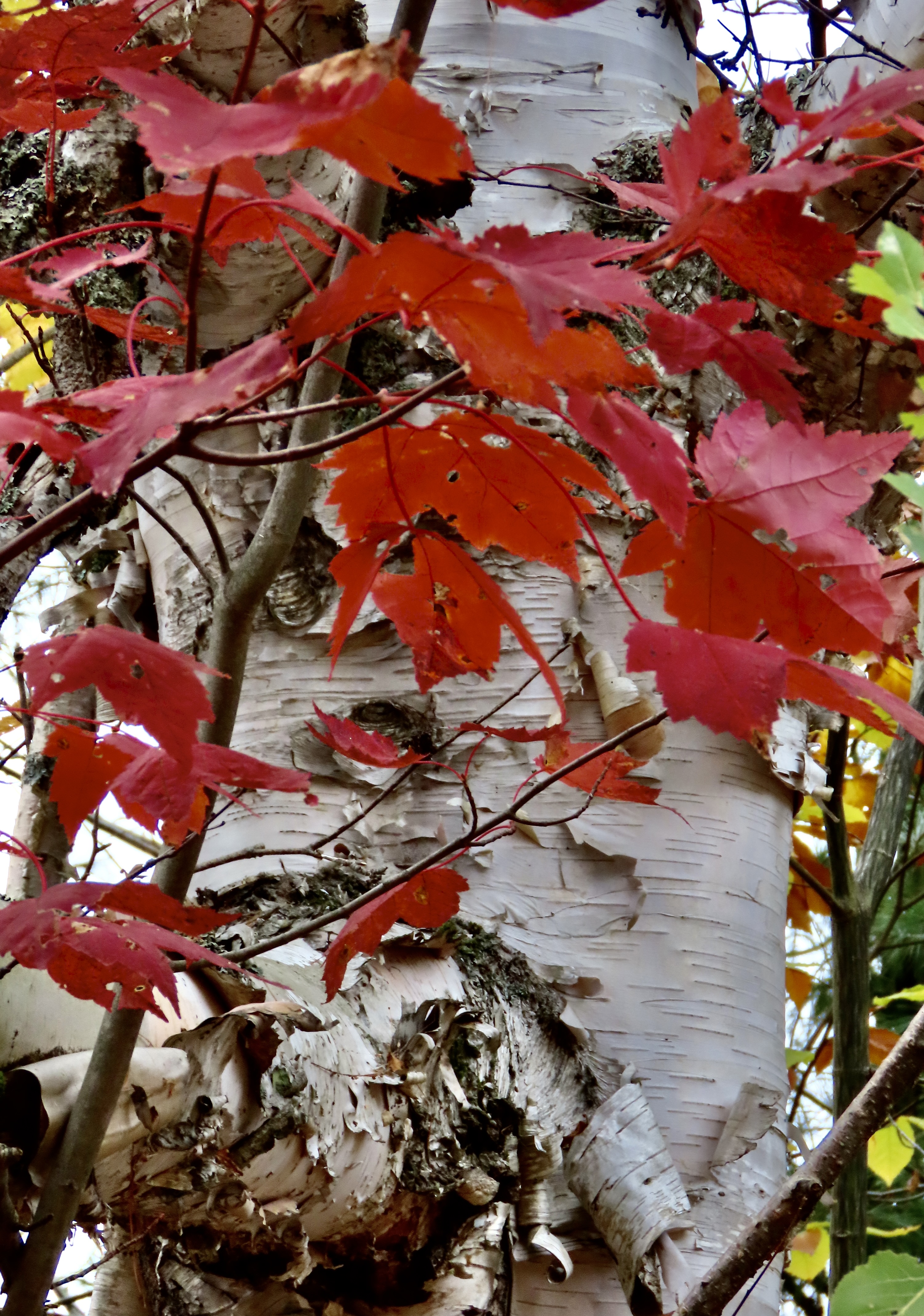
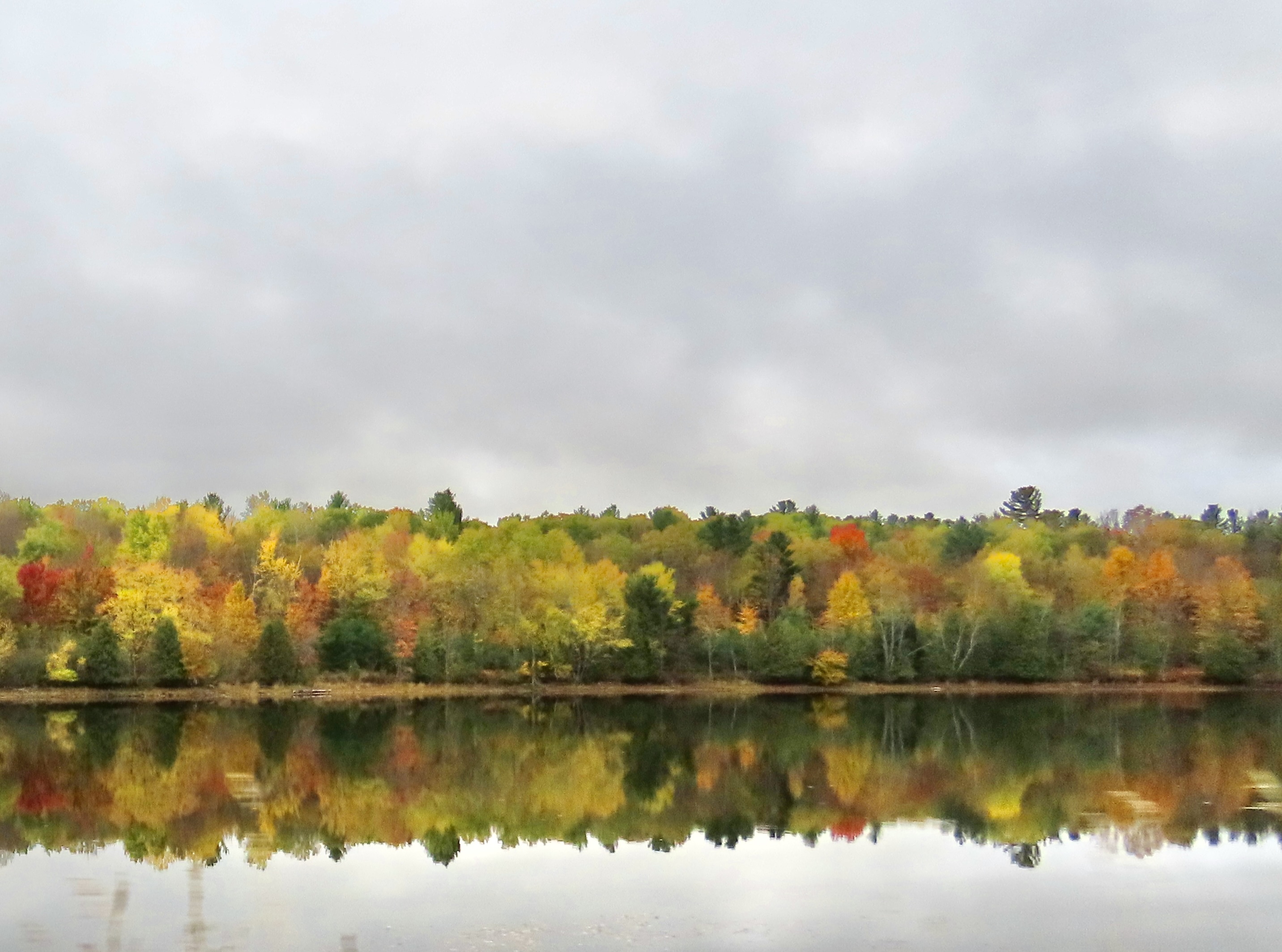
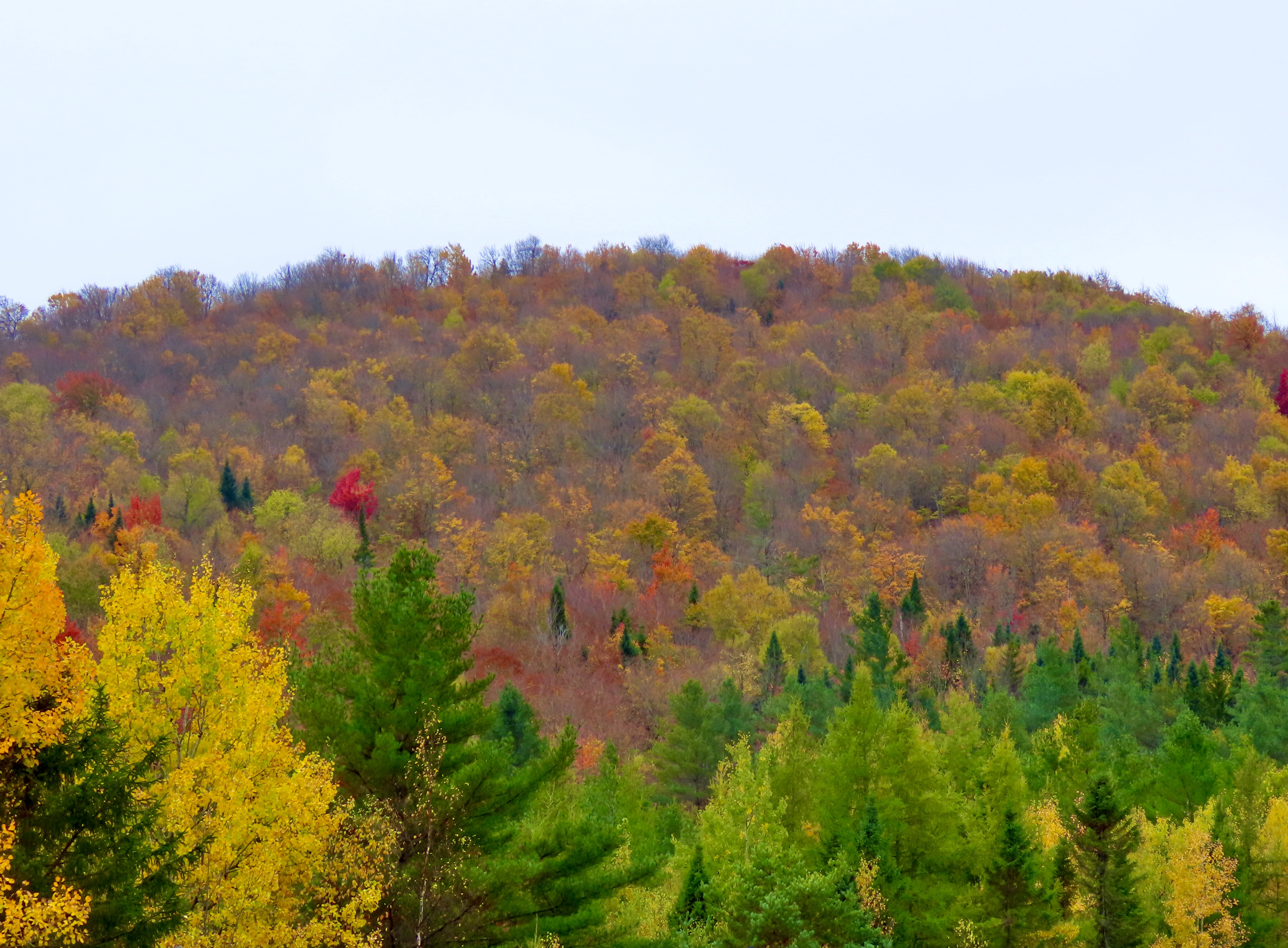
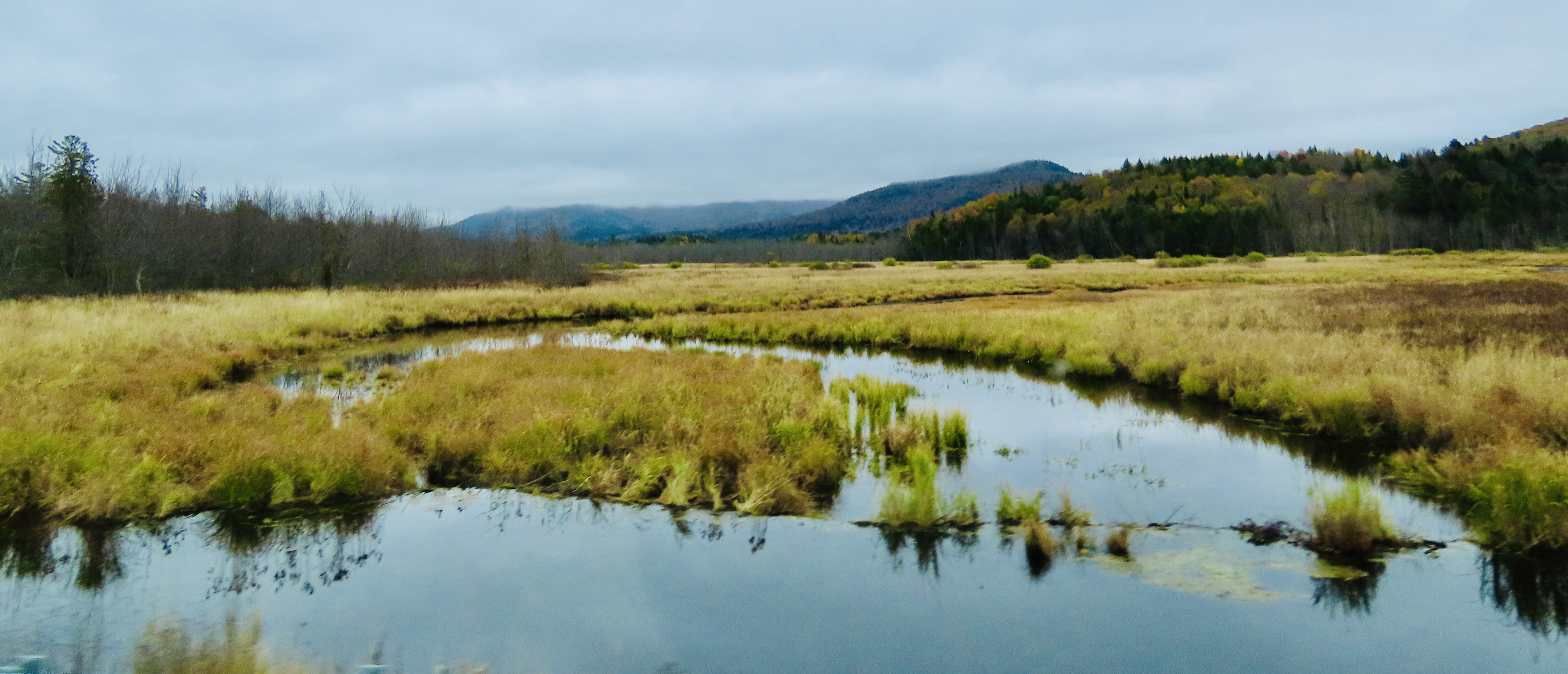
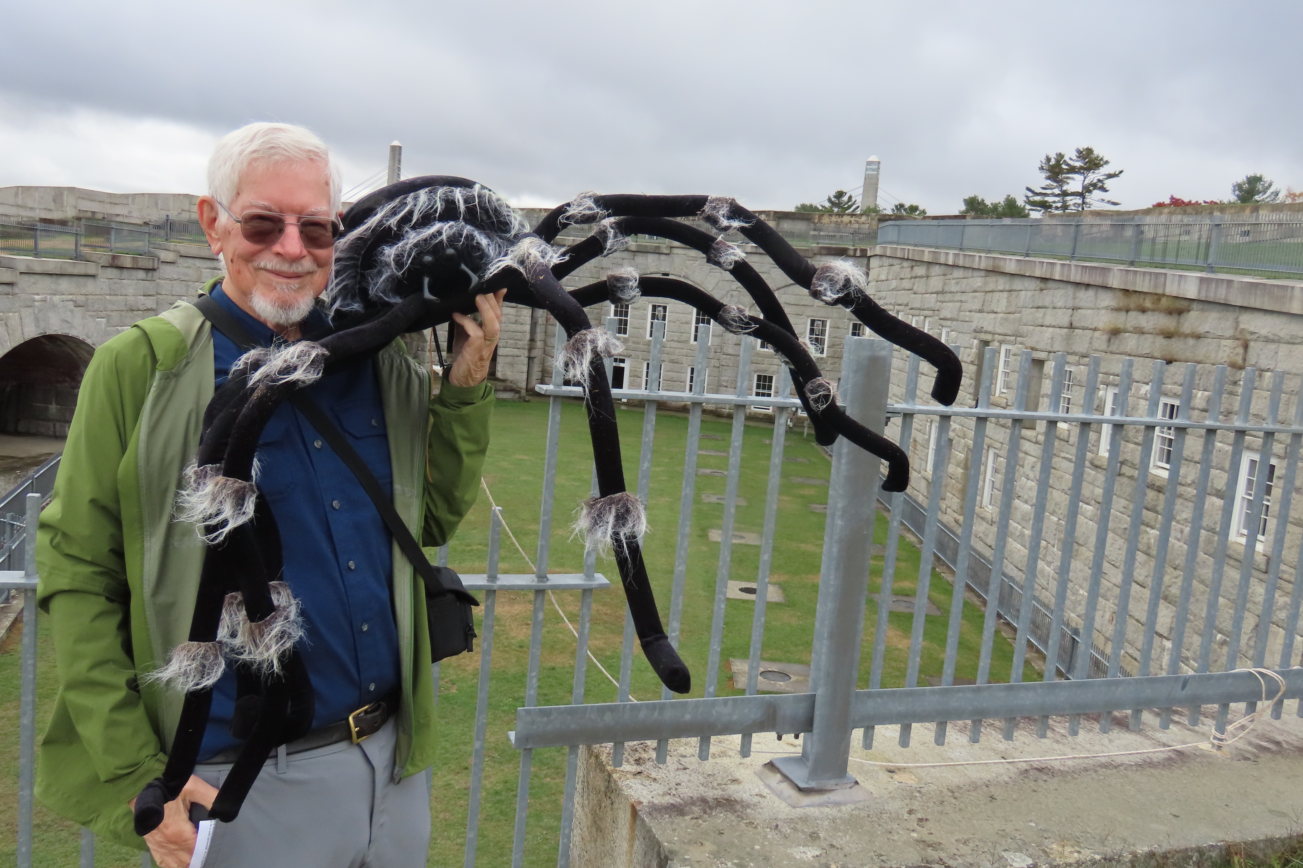
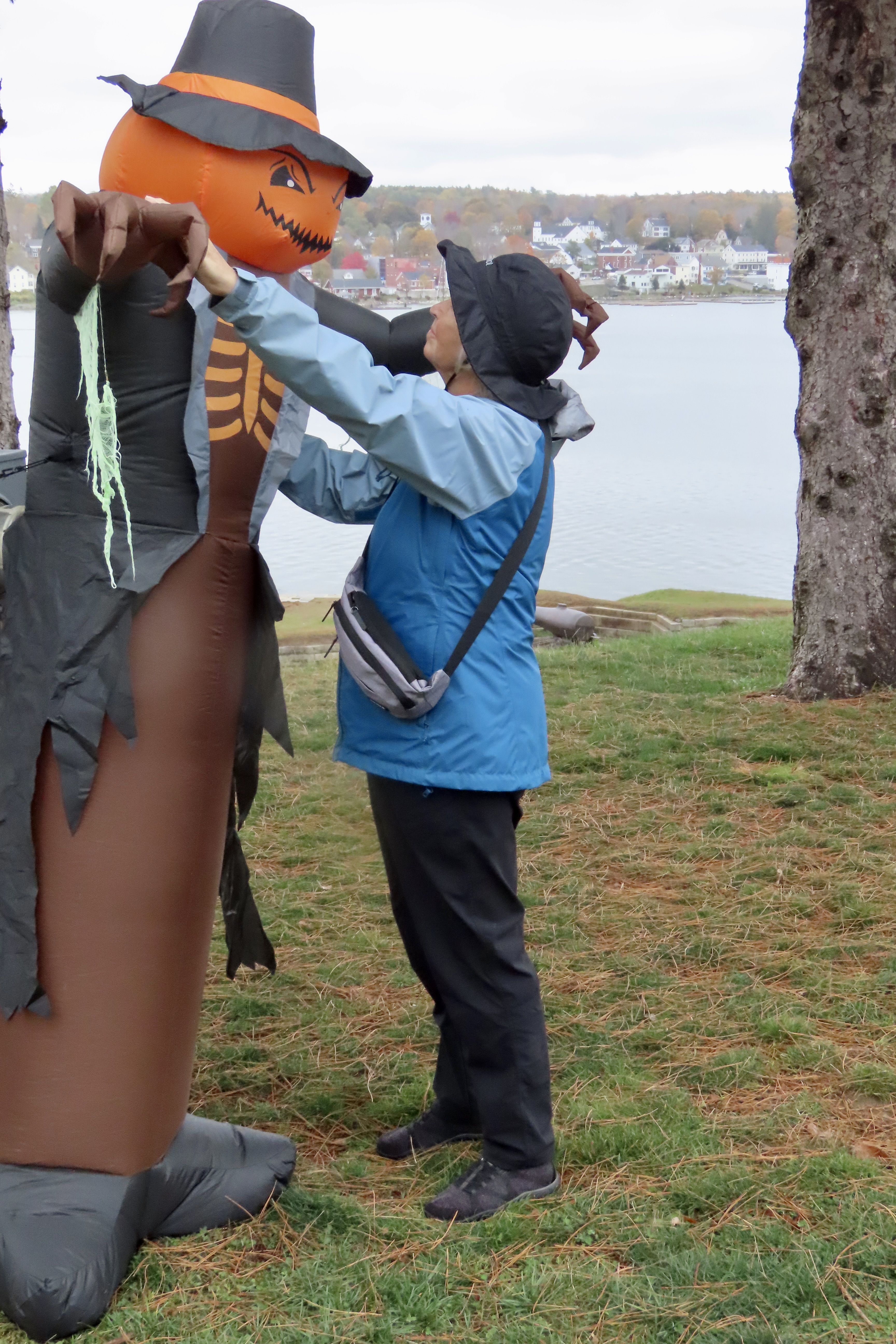
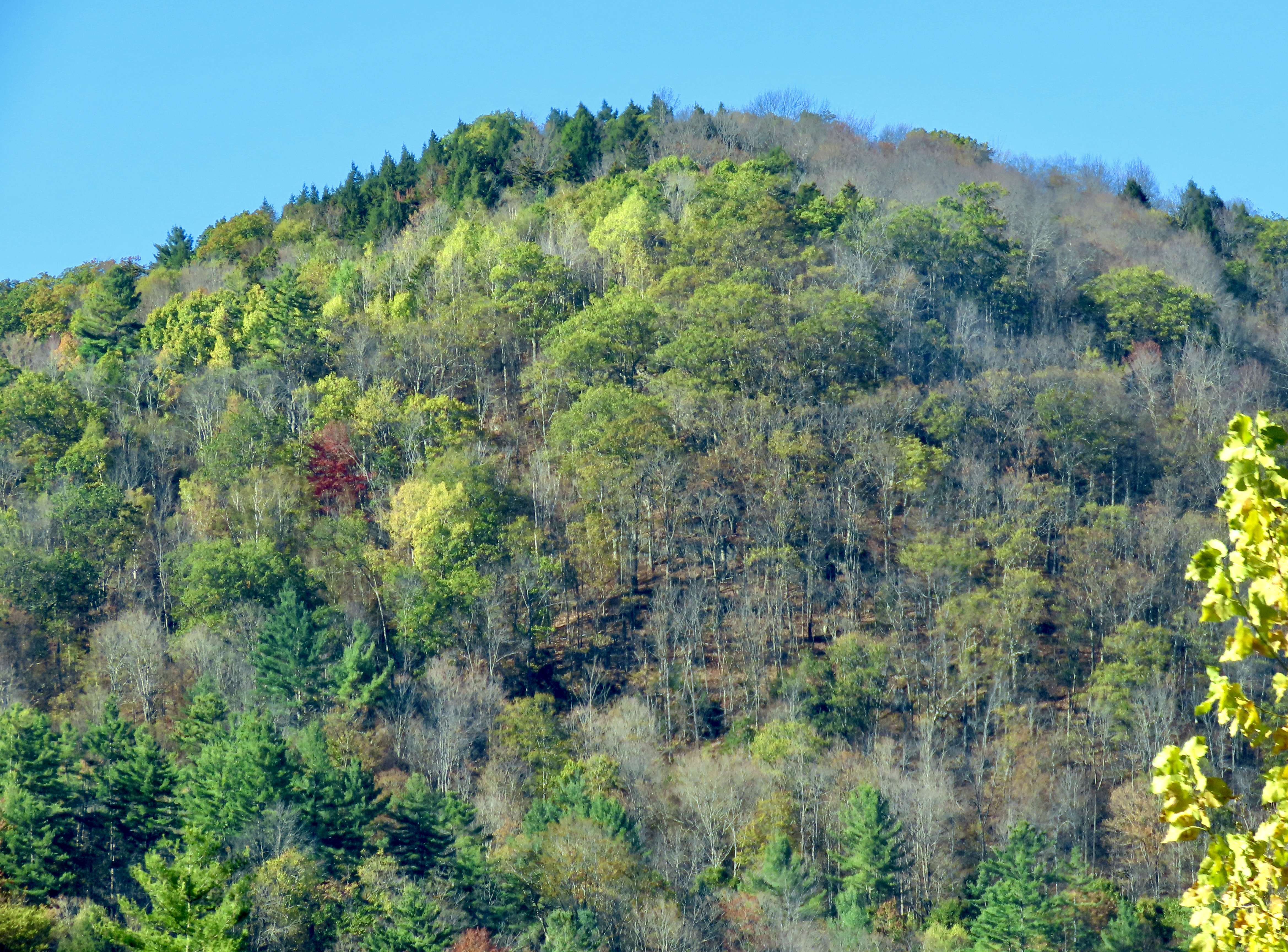
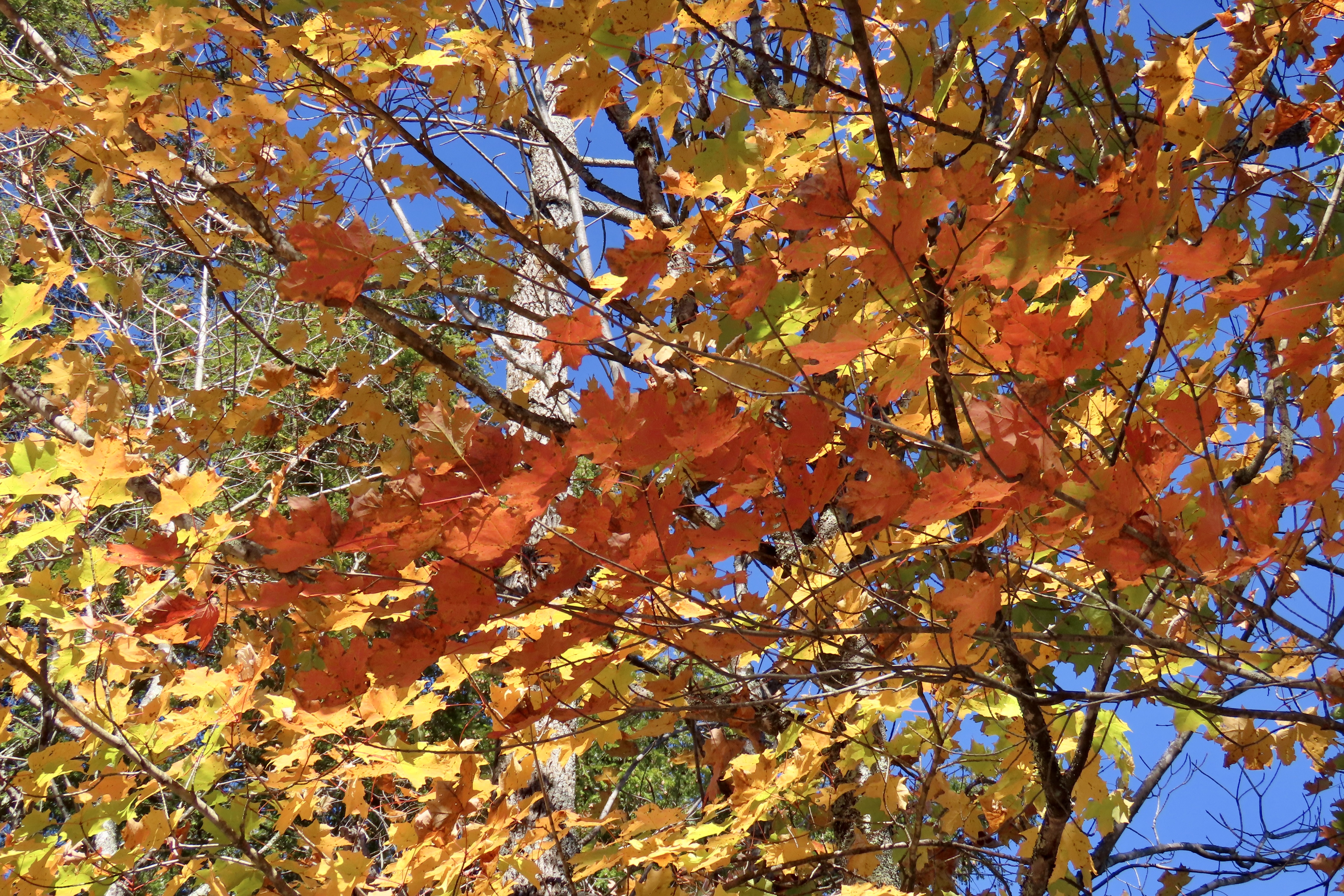
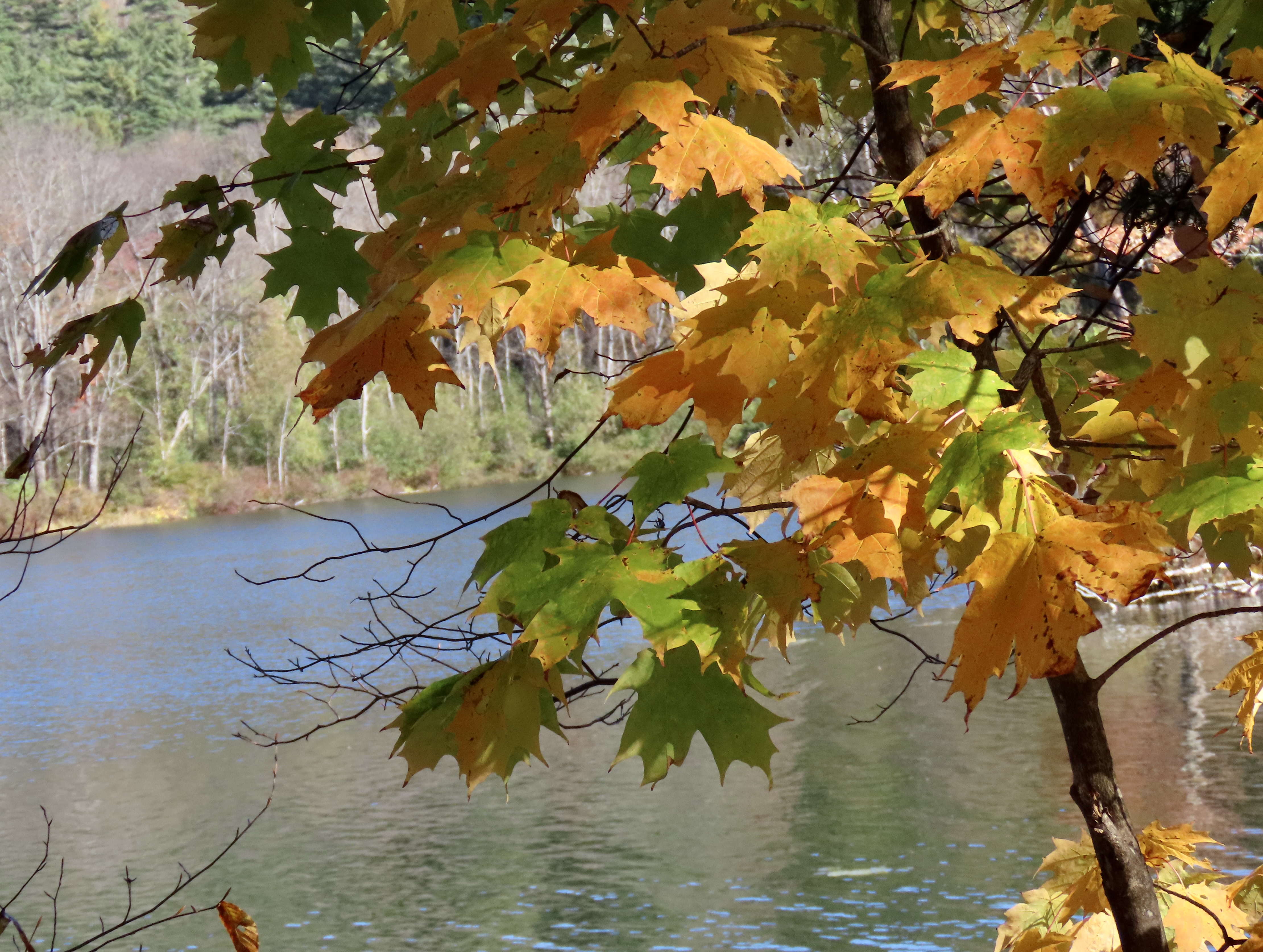
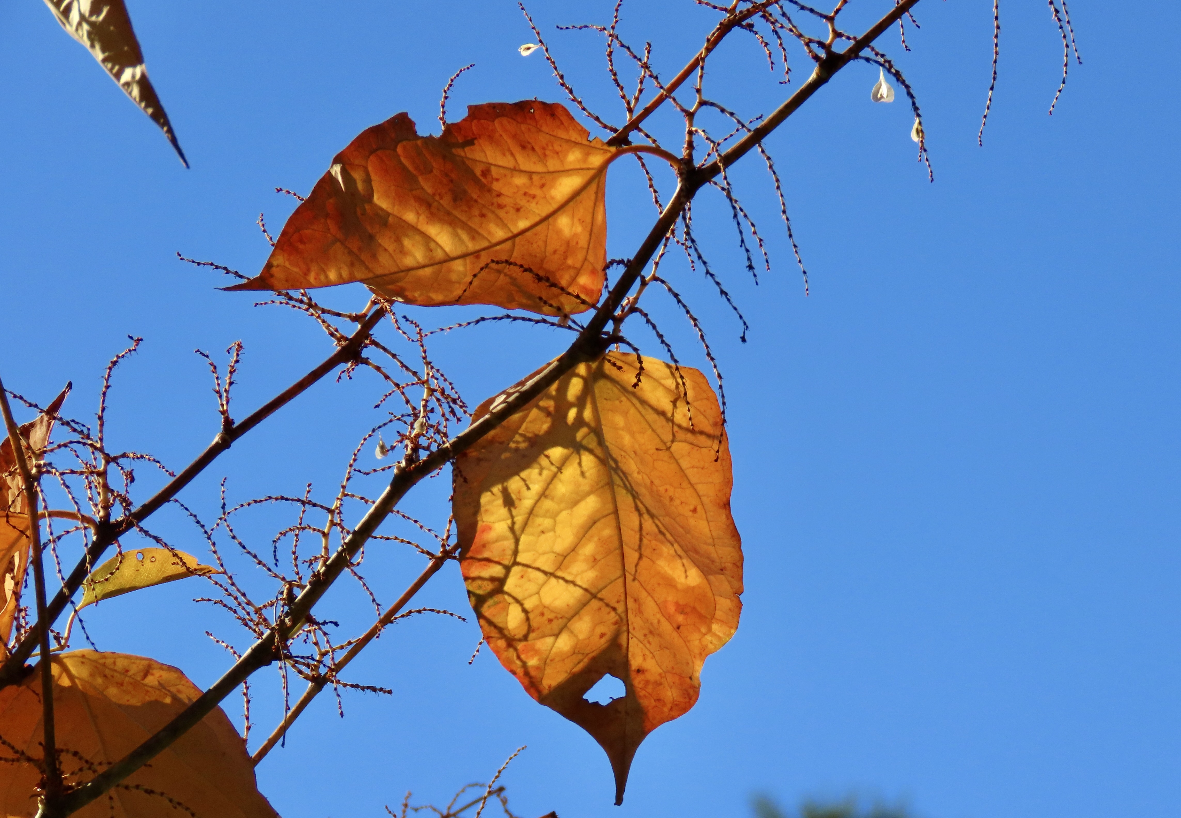
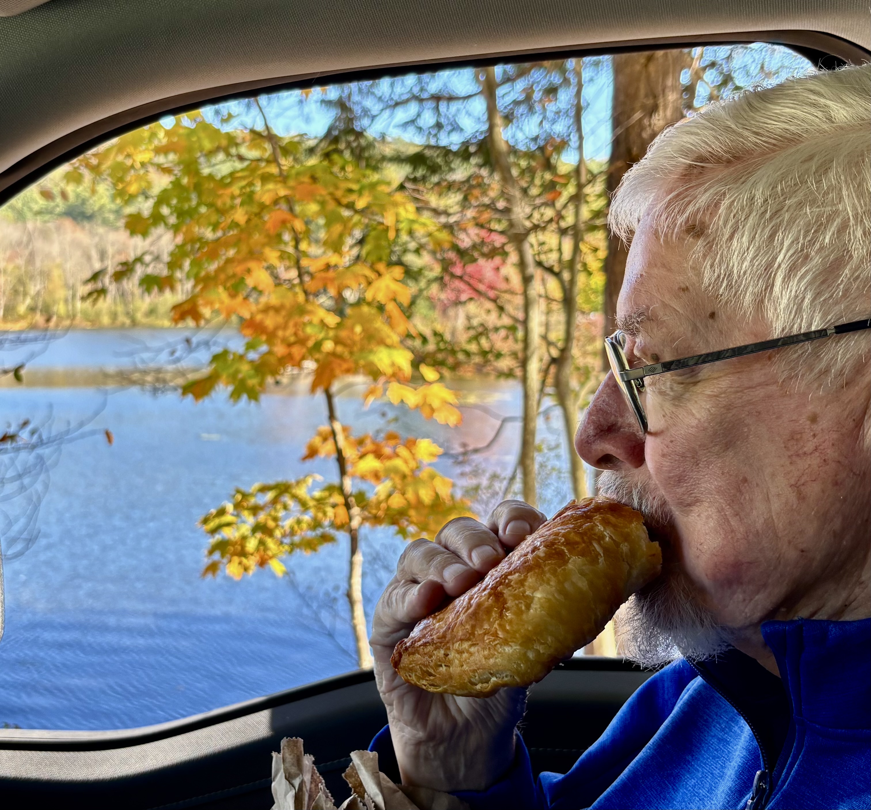
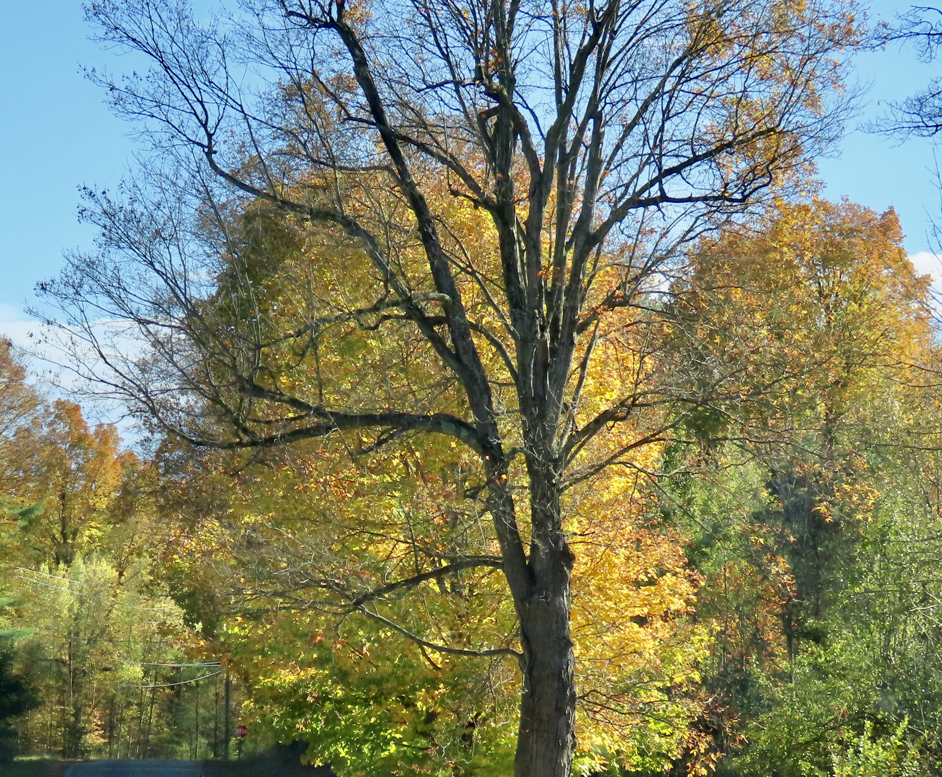
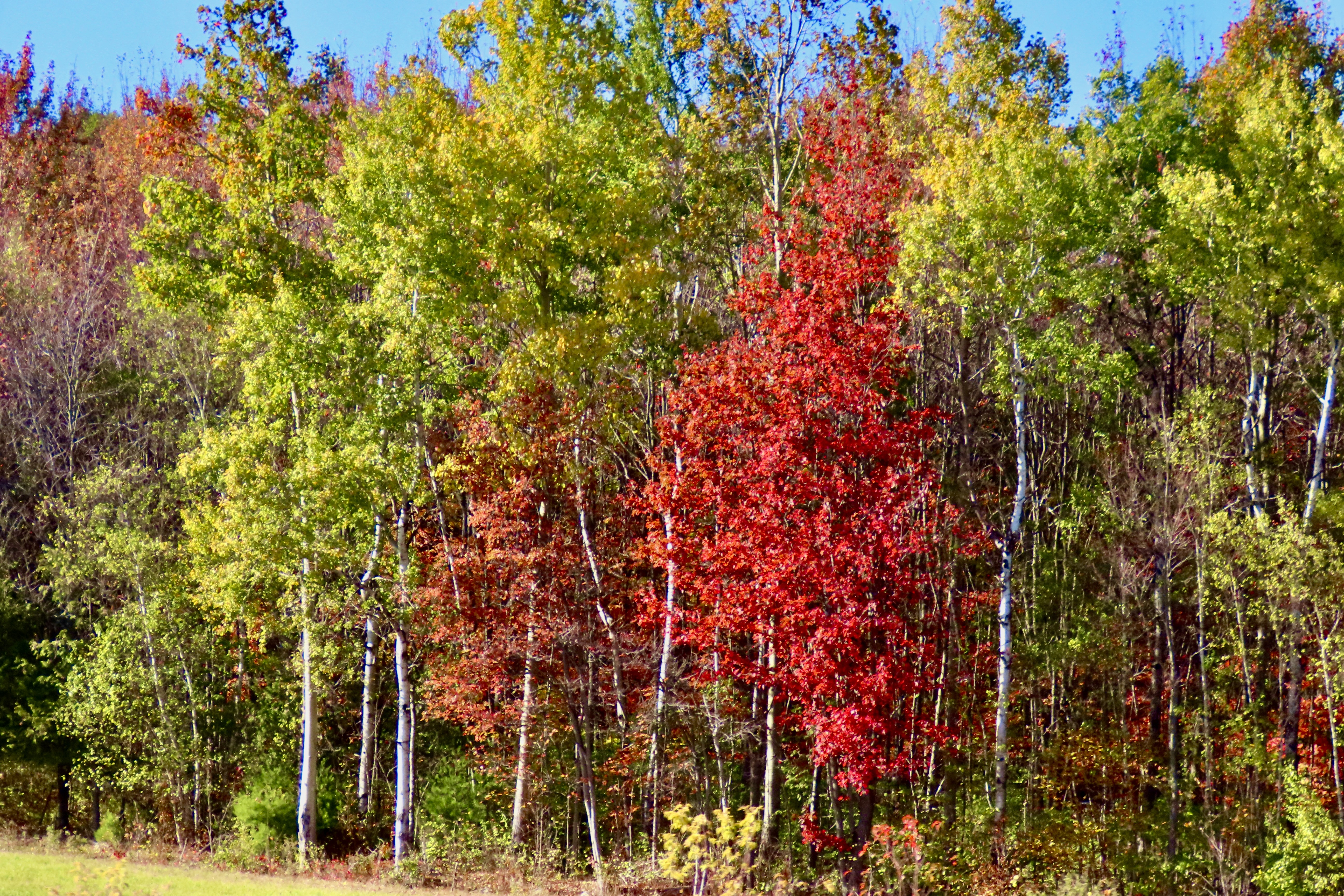
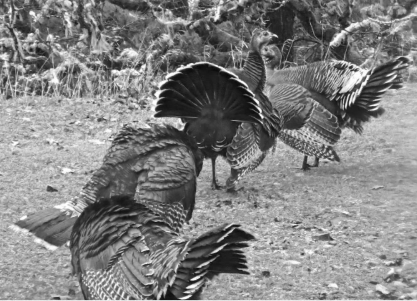
Today, Peggy and I are going to feature our trip into the Adirondacks of New York. We have now explored northern Vermont, traveled across New Hampshire, and made our way to coastal Maine, which included a trip into Acadia National Park. We’ve found so much color that our cameras have become picky about what they will photograph. New England definitely has its fall mojo back. We’ve turned to other things, like stuffing ourselves on lobster rolls. It’s a quintessential Maine experience. Did you know that the state provides over 90% of America’s lobsters?
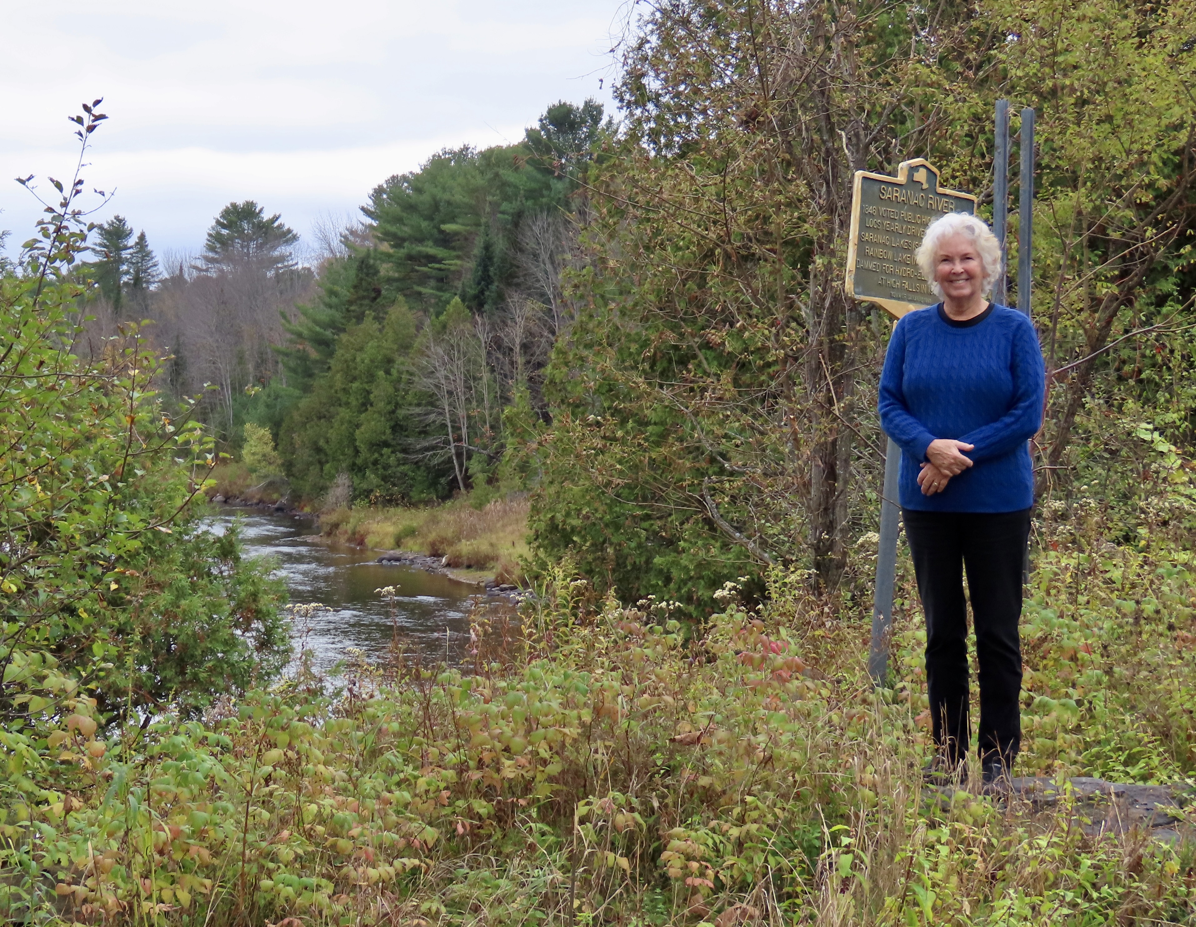
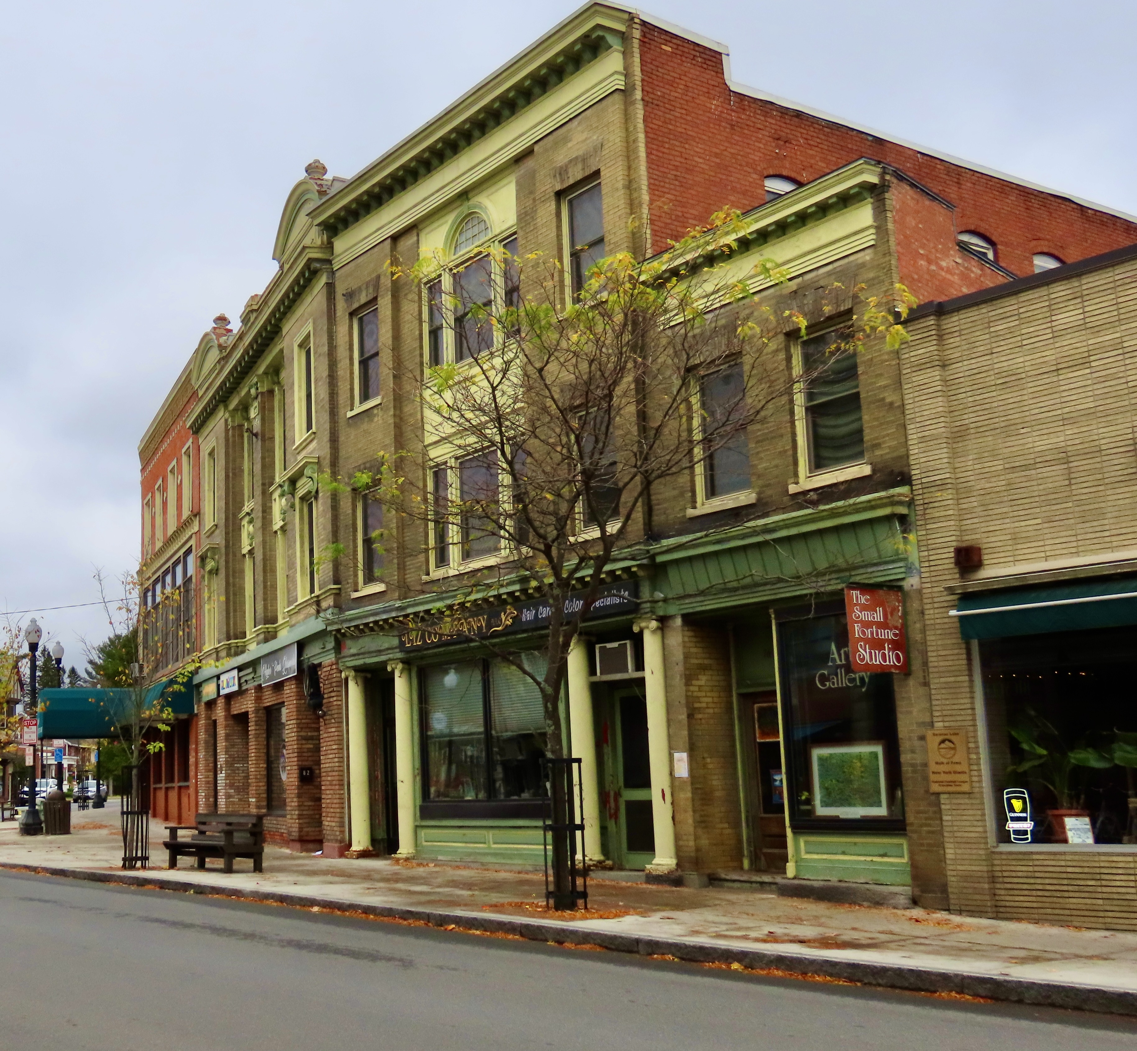
First considered wild and inaccessible by the early European settlers, the Adirondacks later became a major logging area. The sign behind Peggy noted that some 200,000 logs were sent down the Saranac River behind her in 1846. By the early 1900s the Adirondacks had become a playground for the wealthy including the likes of the Vanderbilts, J.P. Morgan, Andrew Carnegie, and the Rockefellers.
Today, the Adirondacks Park is known for its size and who owns it. Not only is it larger than any national park in the contingent 48 states in the US, it is made up of a blending of public and private ownership. Another unique fact about the area is that its ancient mountains are actually rising, something that was considered long over among eastern US mountains. Like two hundred million years long over. Apparently, there is a bulging volcanic hot spot under the Adirondacks.
Peggy and I made a trip through New England in the fall 25 years ago when we had both taken a year-long sabbatical from our jobs. We decided it was time to visit the beautiful fall foliage again with Vermont and New Hampshire as our destination plus a side trip to Acadia National Park and a few of the scenic towns along Maine’s coast.
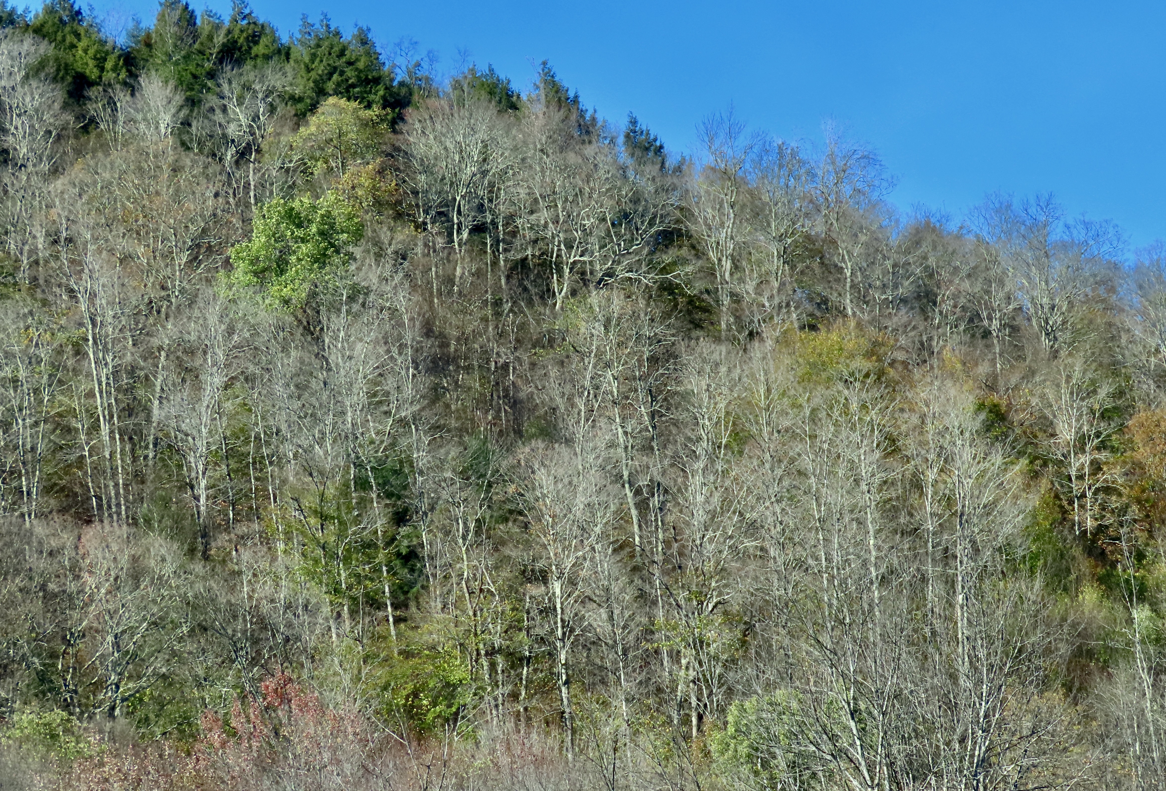
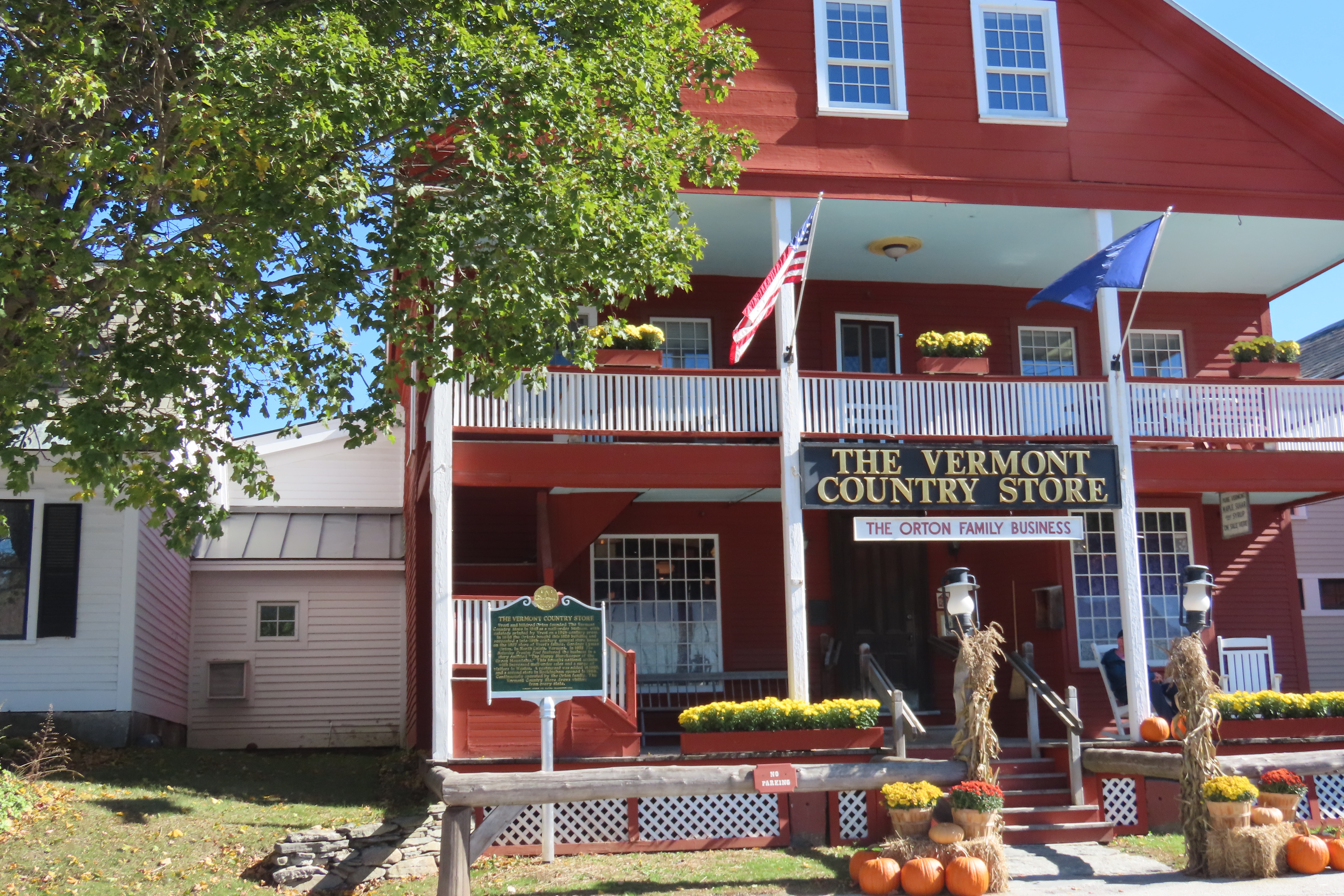
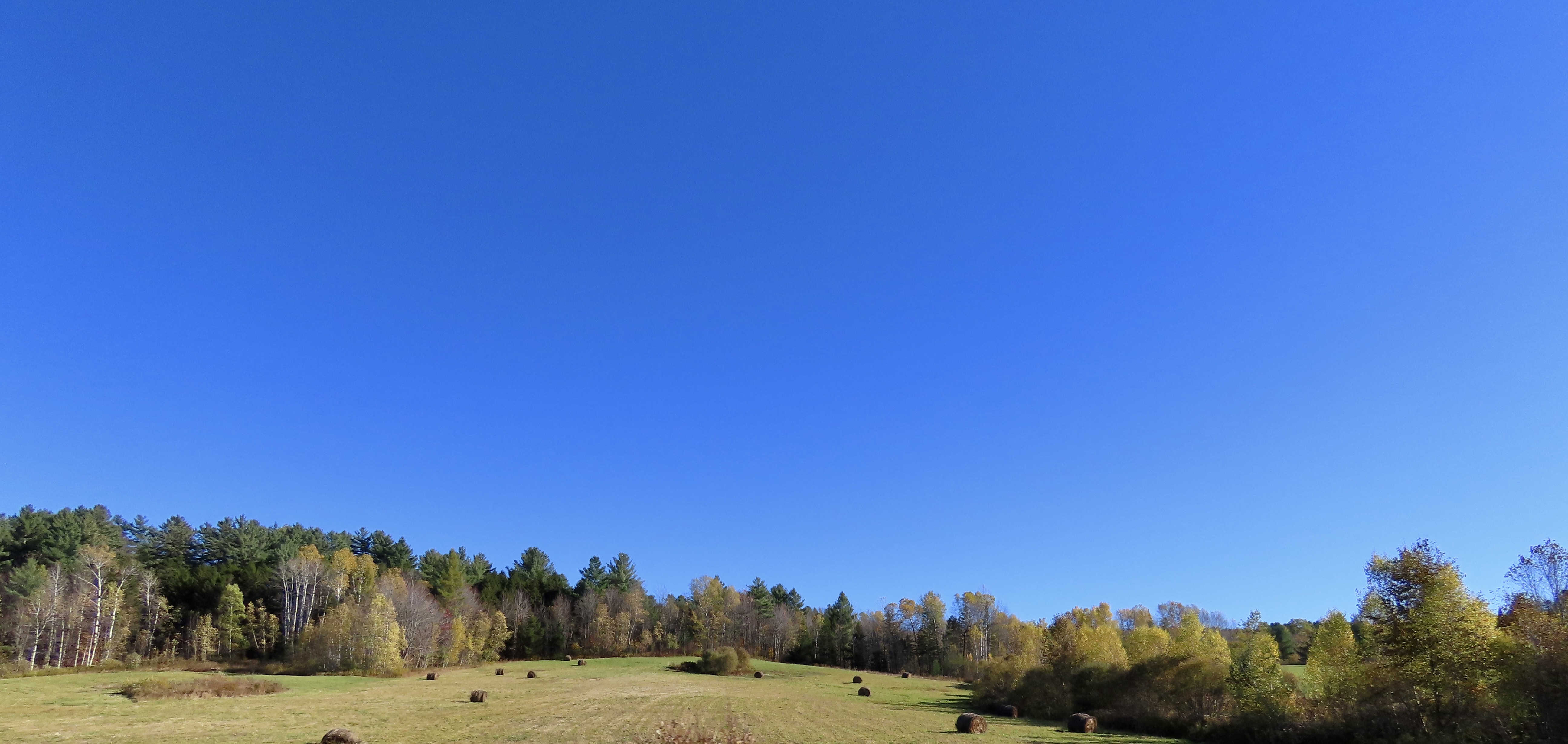
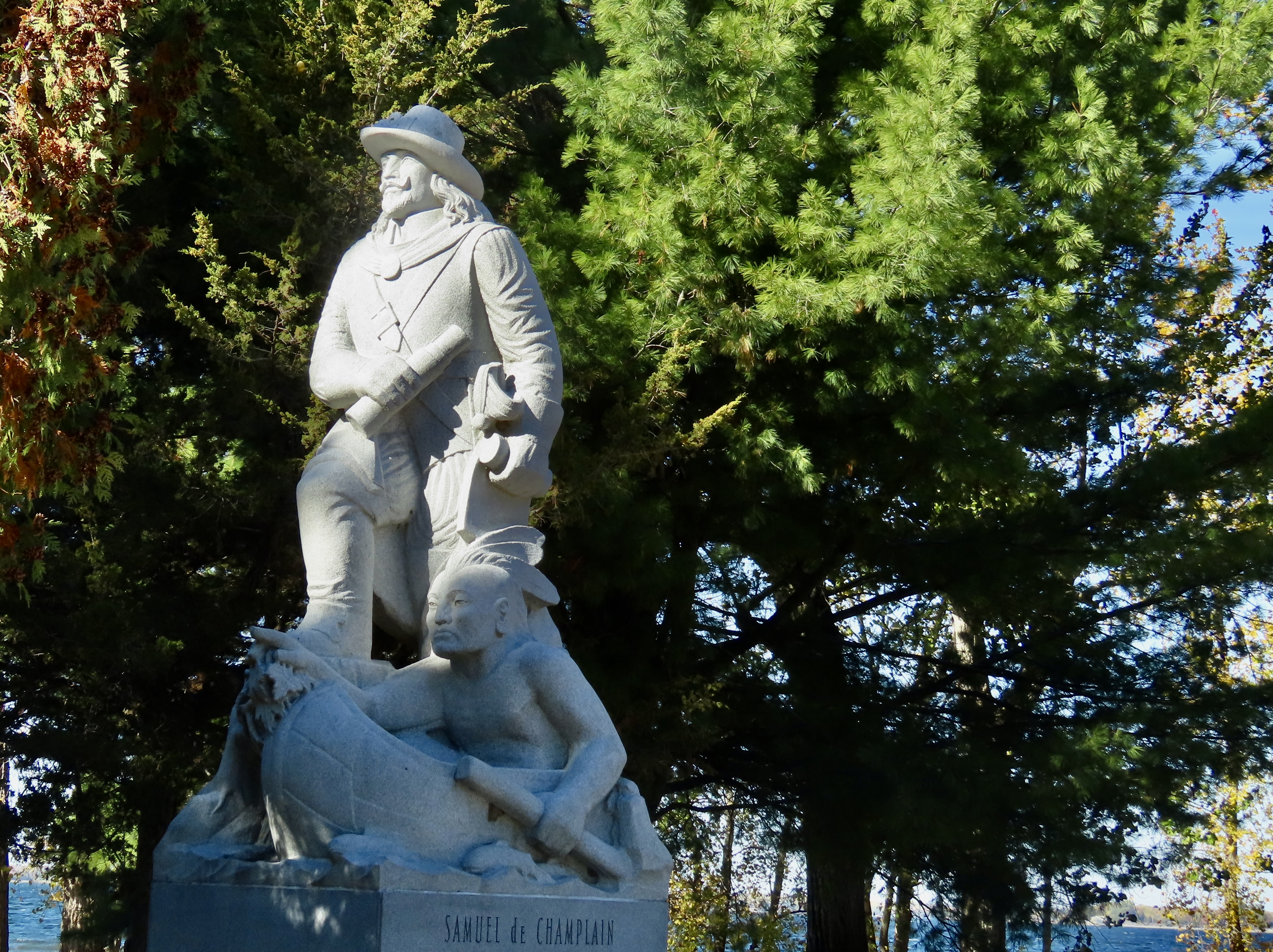
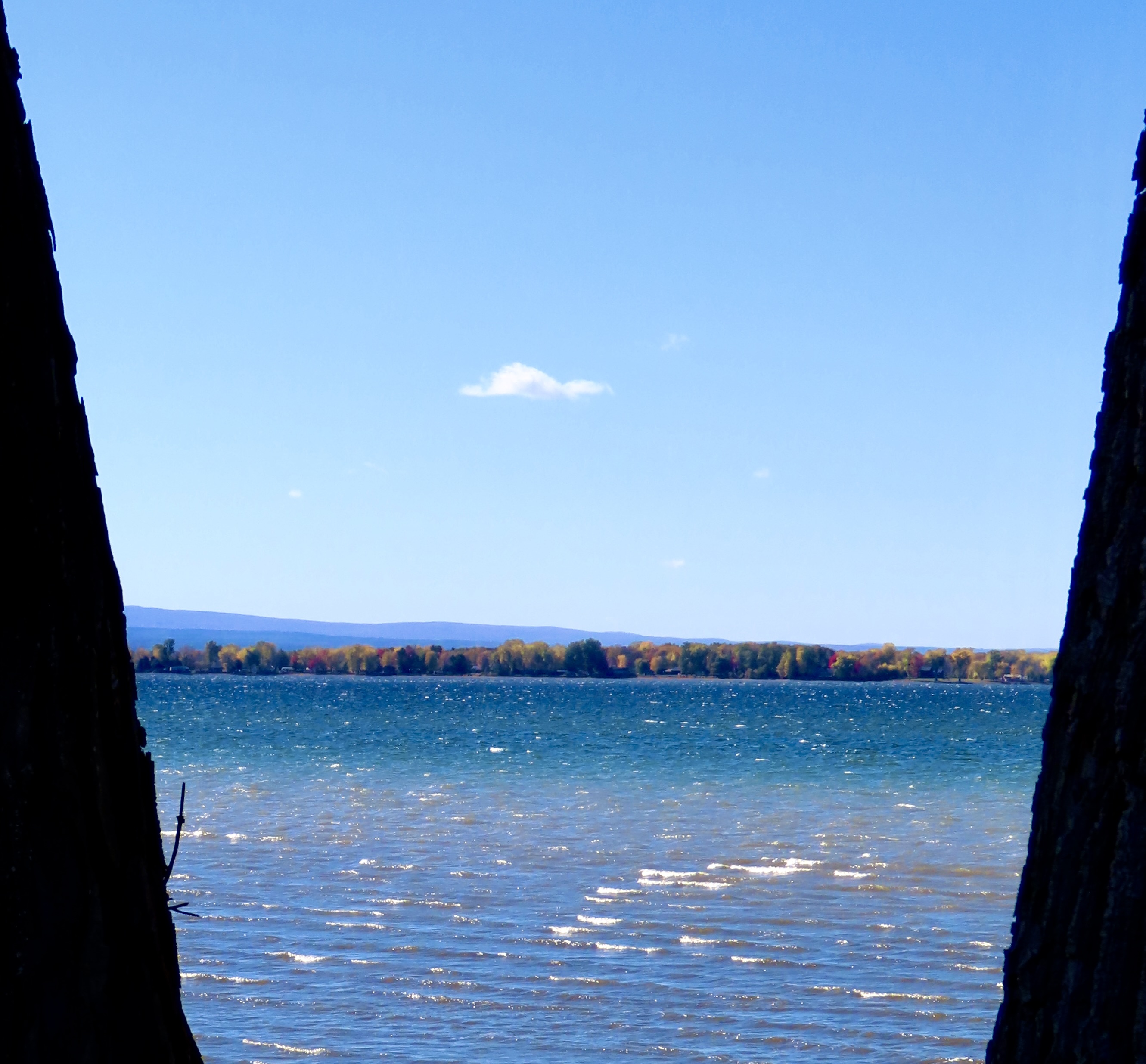
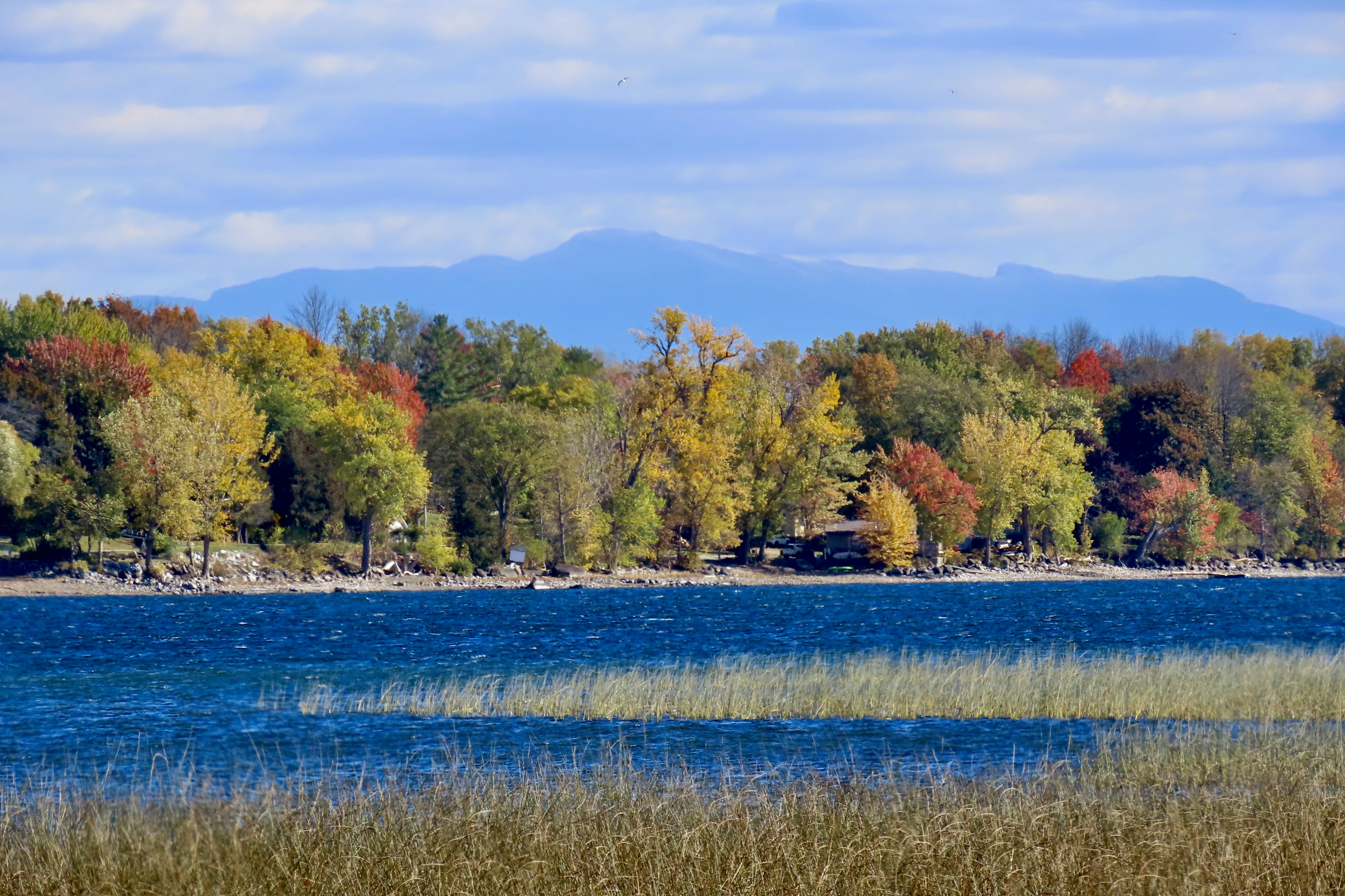
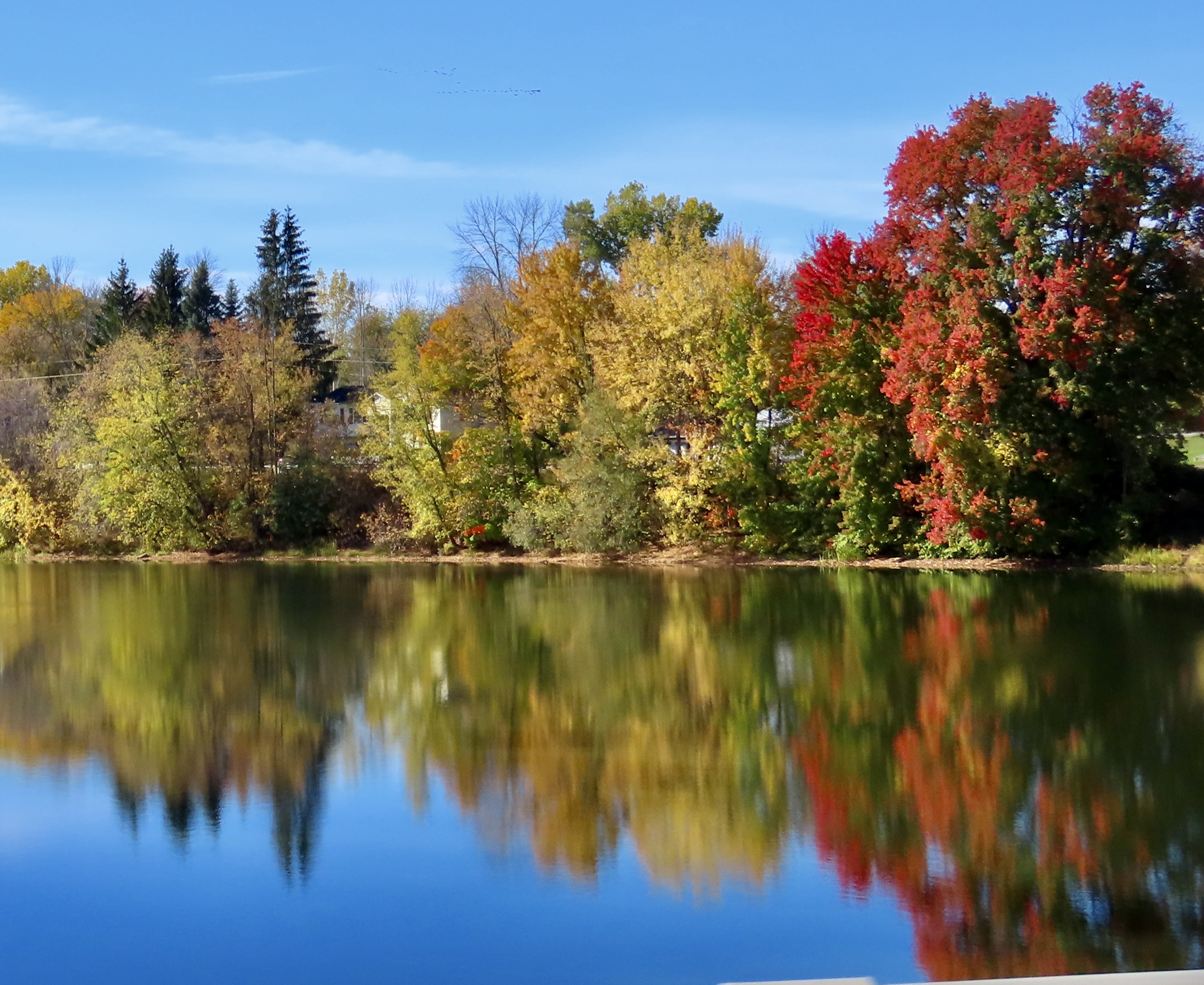
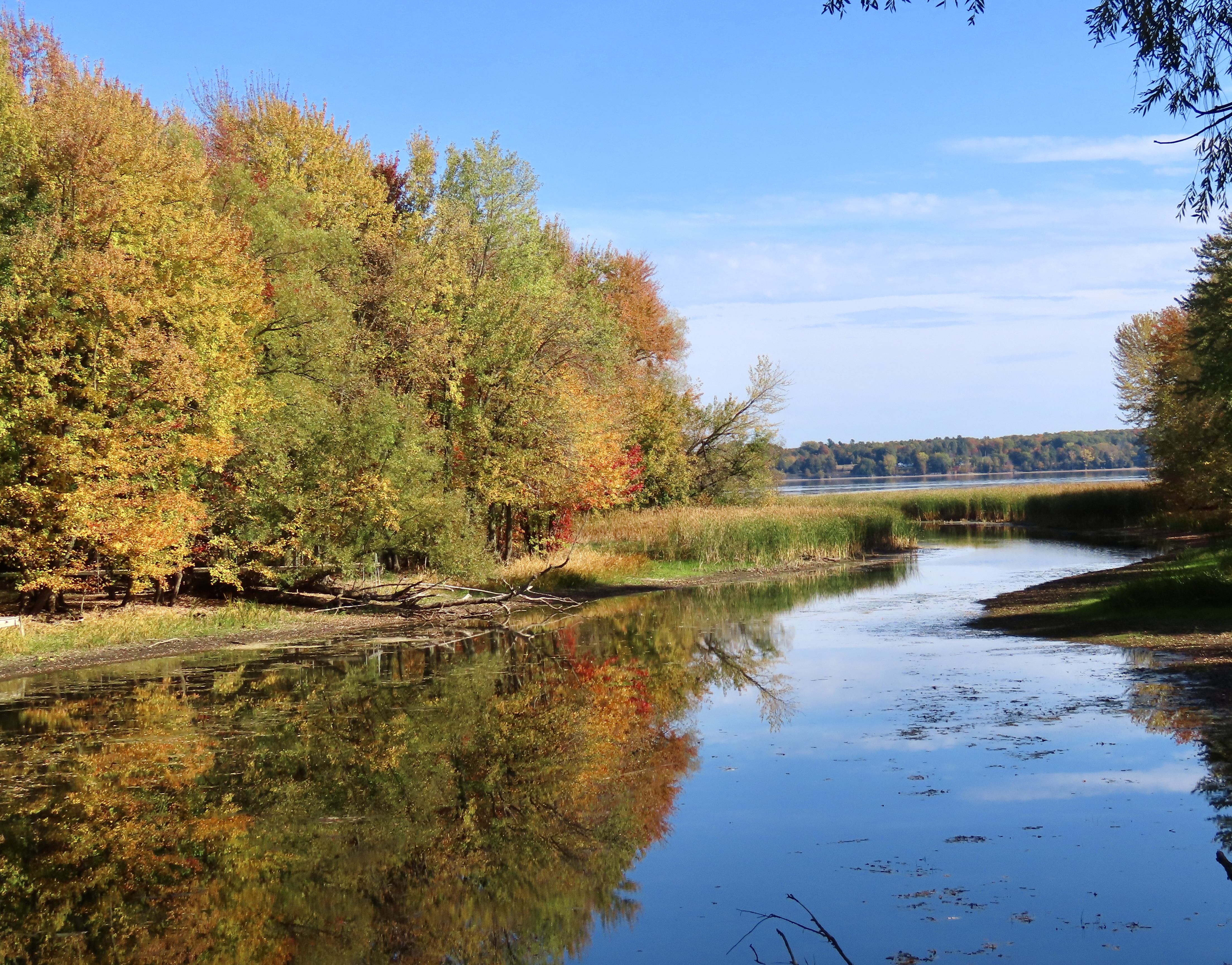
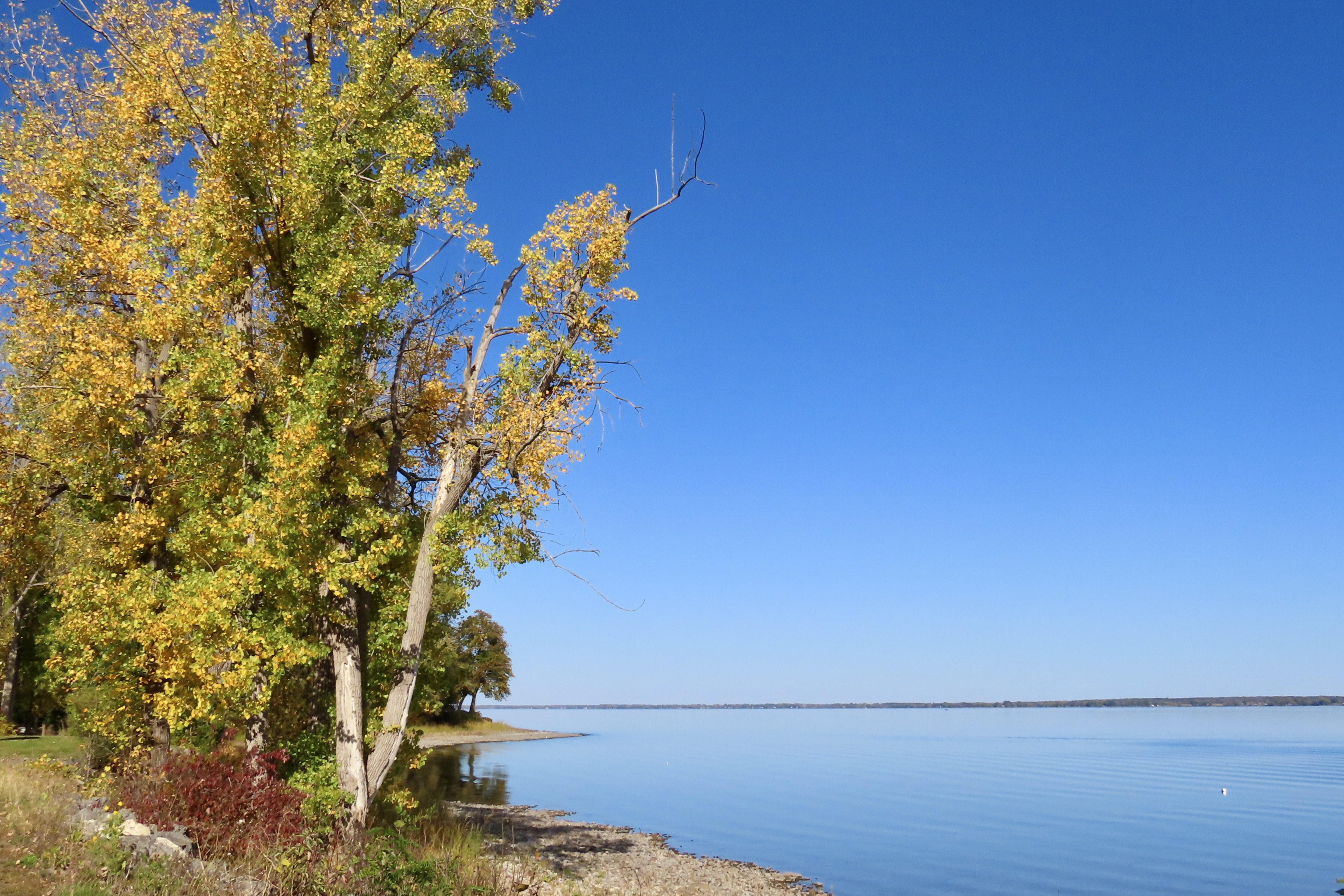
One of the clerks at the store told us that the peak of the fall color was the previous week. She suggested we drive over to Lake Champlain on Vermont’s western border to catch more color. That’s why I kicked this post off with photos from the lake.
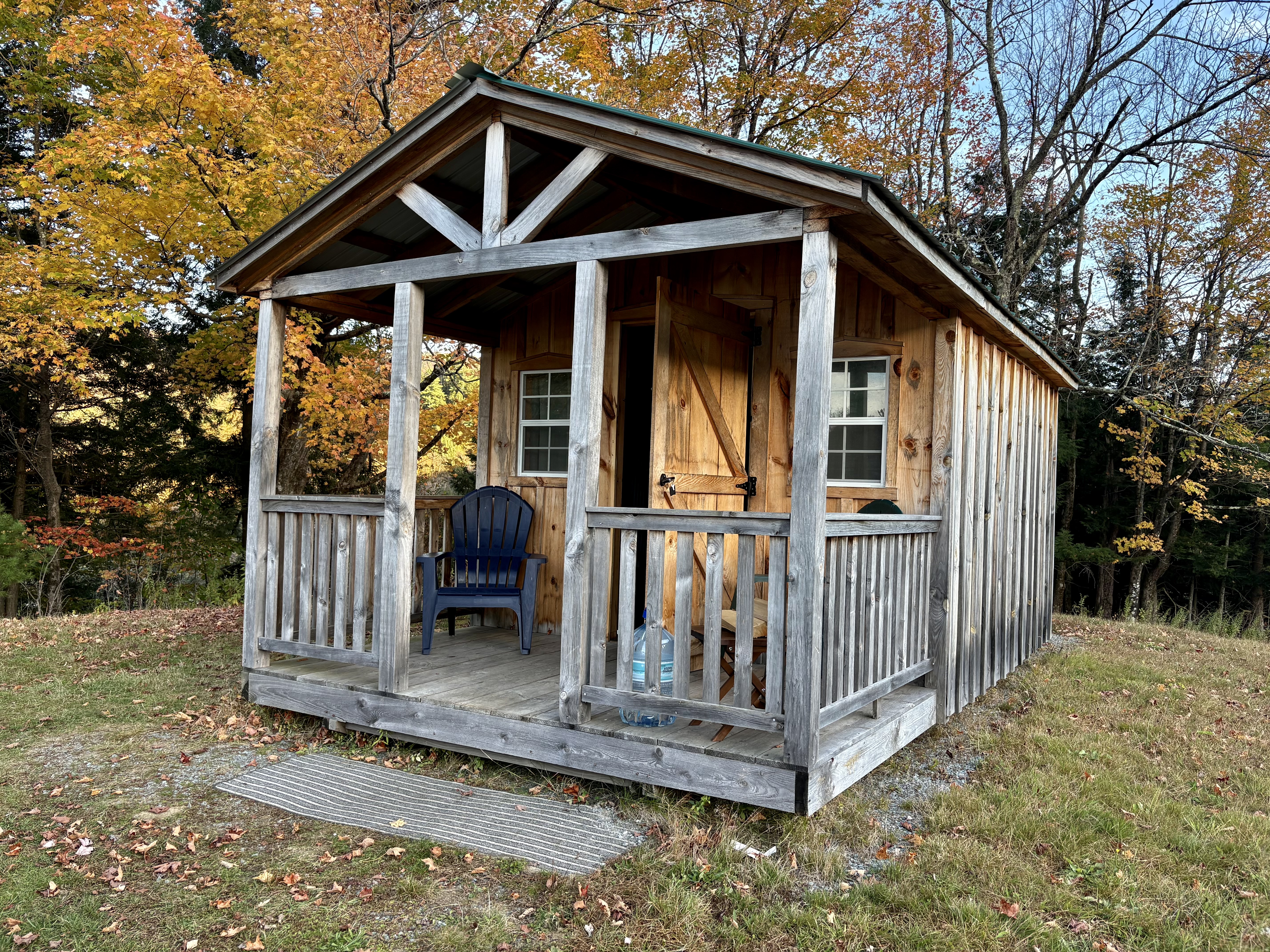
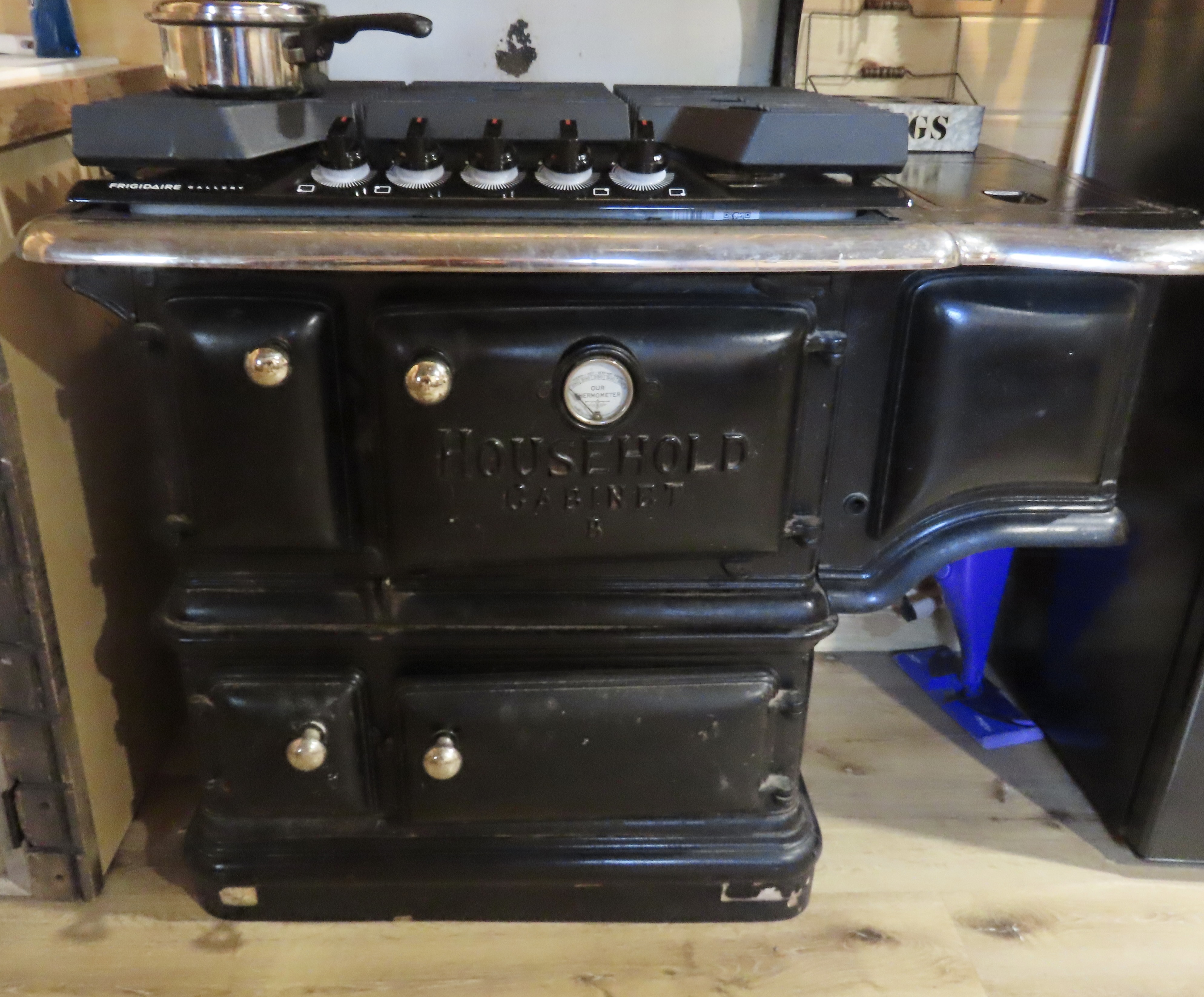
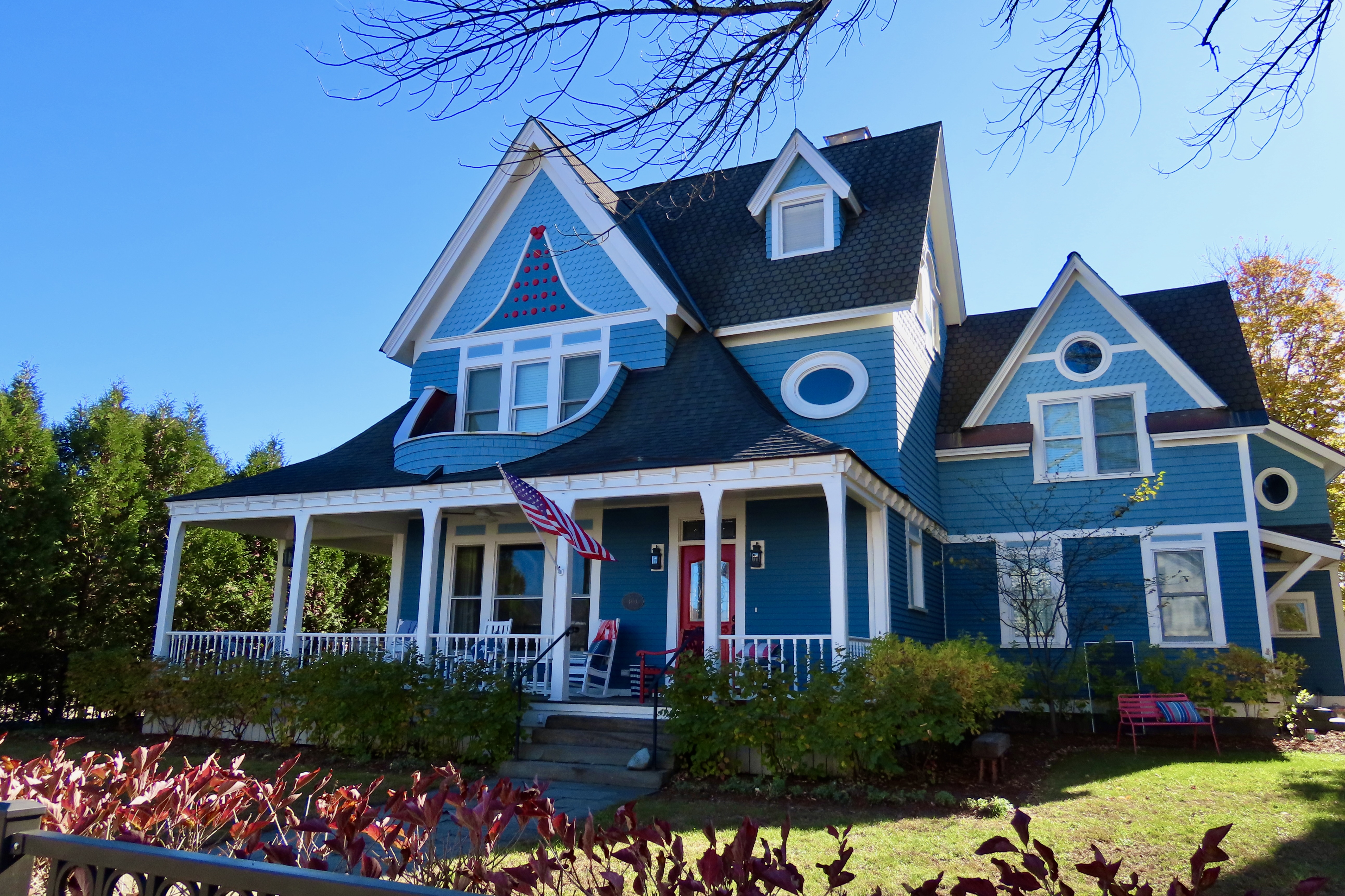
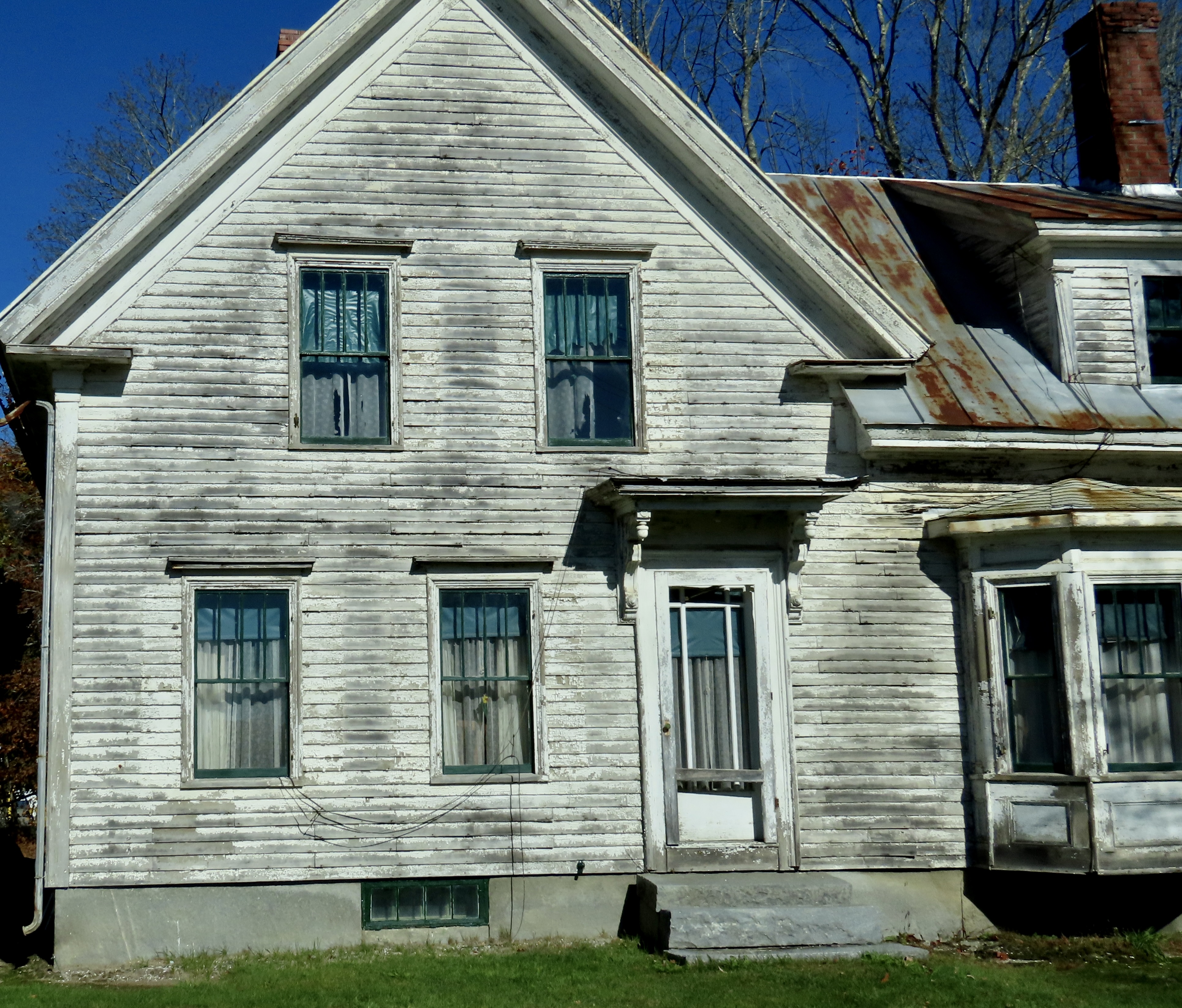
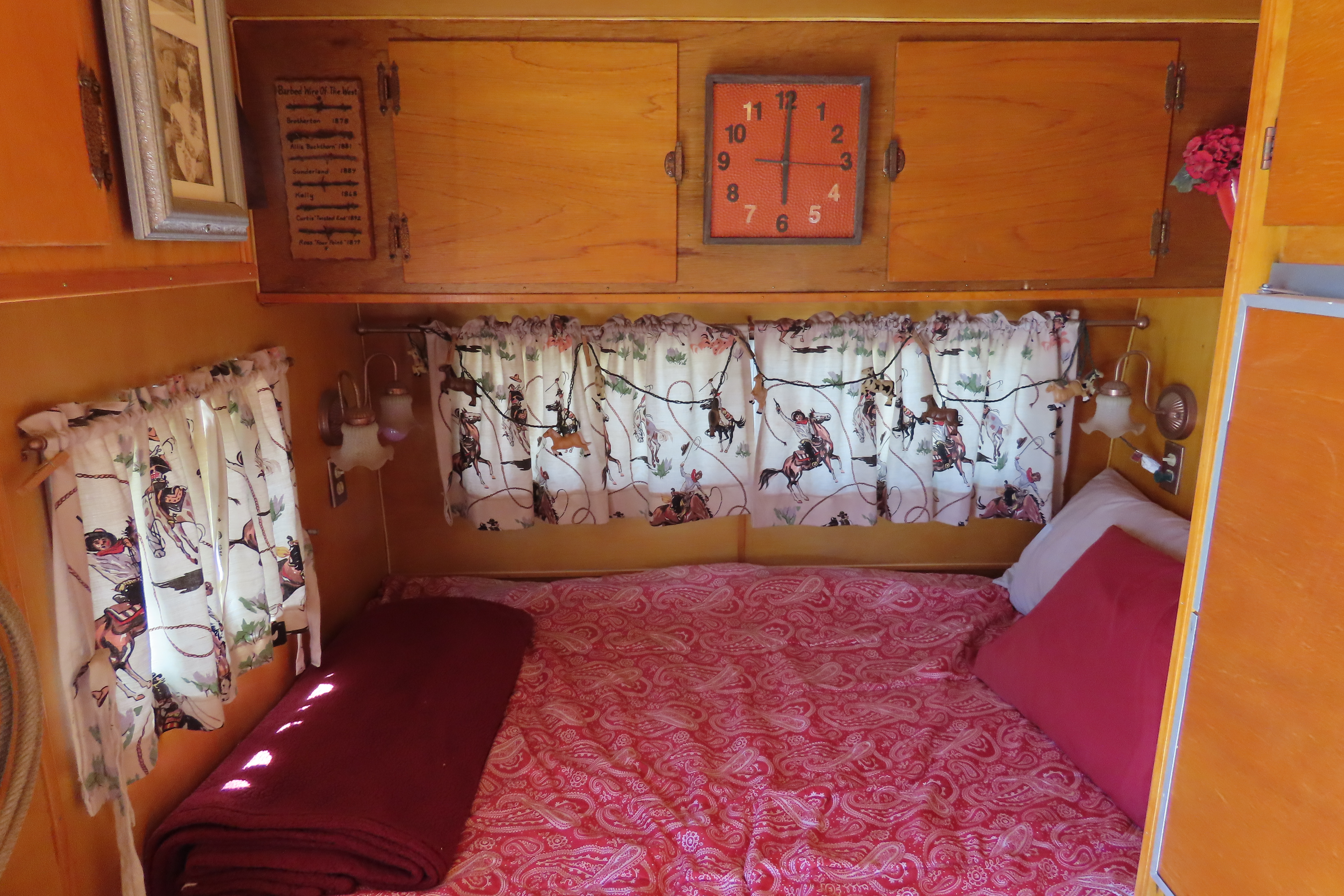
Our original plan had been to stay in Stowe, Vermont. It’s considered the most picturesque of the Vermont towns. When I saw the $300-350 prices per night of available places left to stay, sticker shock set in. I started looking at the surrounding areas. This small cabin was about 25 miles to the north and came in at under $100. It was love at first sight. “Go for it!’ my buddy exclaimed. We like cabins in the woods. “Bring warm blankets,” the owner urged, which suggested that heating might be a problem. We threw in four quilts, a down cover and our backpacks.
Beyond that, I apparently didn’t read the small print.
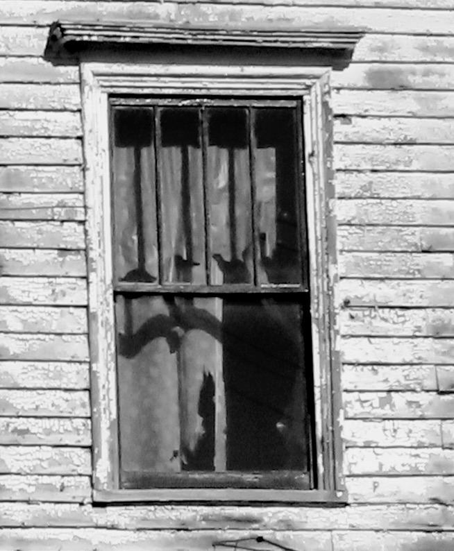
After a pleasant drive over country roads, we arrived at the cabin. As promised, the owner had left the key in the door. Inside, we discovered our furniture was a double-bed sized futon and a coffee table. Electricity was a battery connected to a small lamp. Our water was in a large bottle on the porch. As for a bathroom, it was an outhouse located about 25 yards away. None of this mattered to us. We are backpackers. We even had an extra lantern, a backpacking stove and headlamps along.
The real challenge was the cold. Temperatures were dropping below freezing and the cabin came with air conditioning, i.e. gaps in the structure that guaranteed that the temperature inside matched the temperature outside. Somehow, I ended up with one blanket. Peggy ended up cozy. I’ve never been able to figure out how she does that. It was a warm blanket, however. My biggest problem was cold feet. I put on my slippers. The other problem was having to pee, not once, not twice, but three times. I rarely have to go twice and never 3 times! Out I dutifully went each time, at least off the porch.
Peggy woke up at 12:30 after my second trip and we renegotiated the blanket distribution. I actually slept warm and cozy up to 5:30 and my third adventure into the great outdoors. I managed three hours of sleep throughout the night. Not bad, considering.
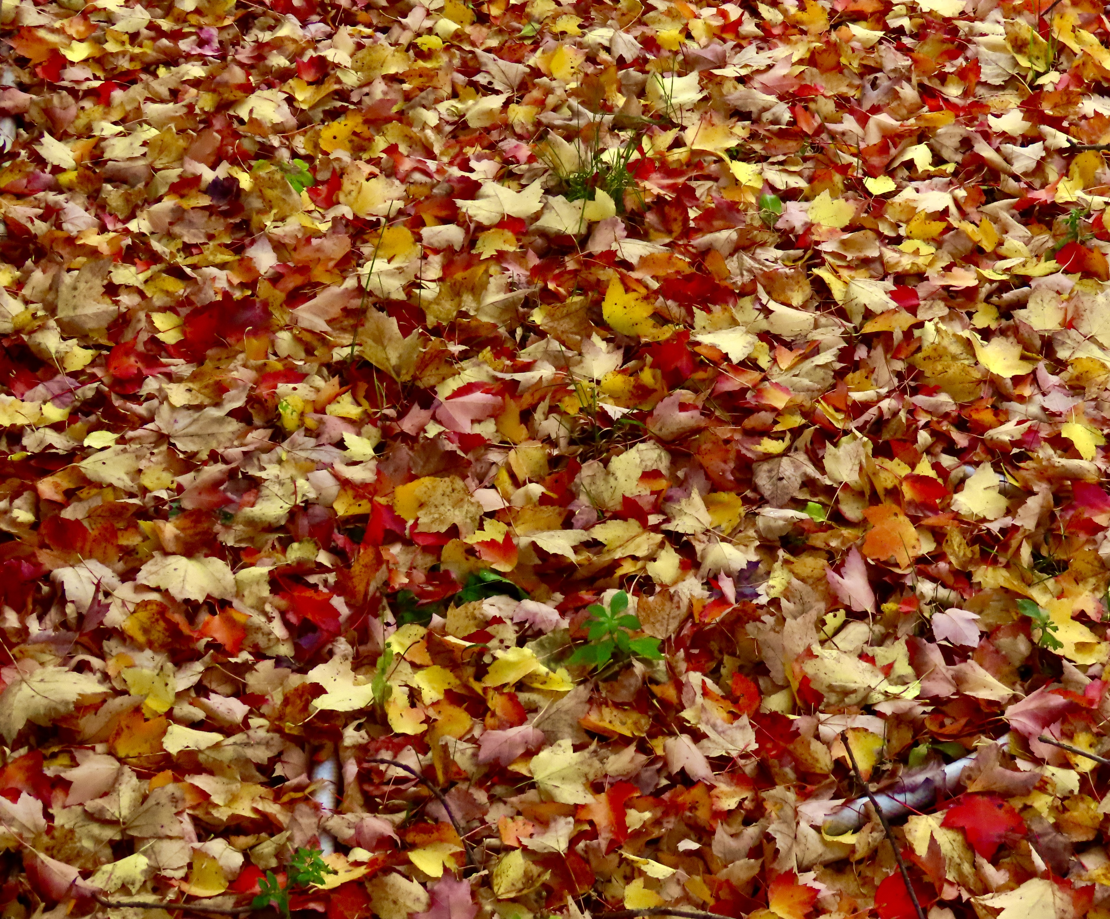
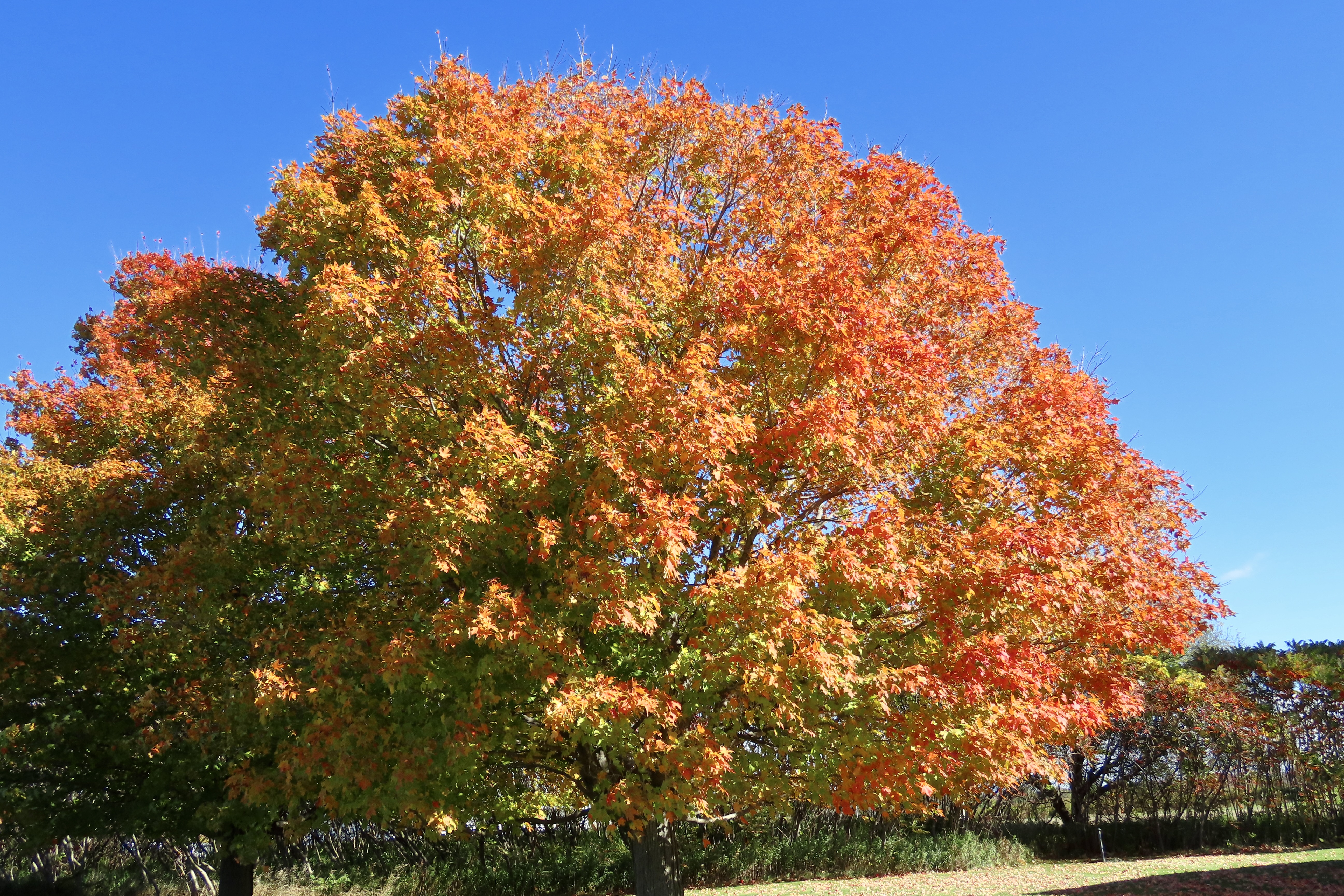
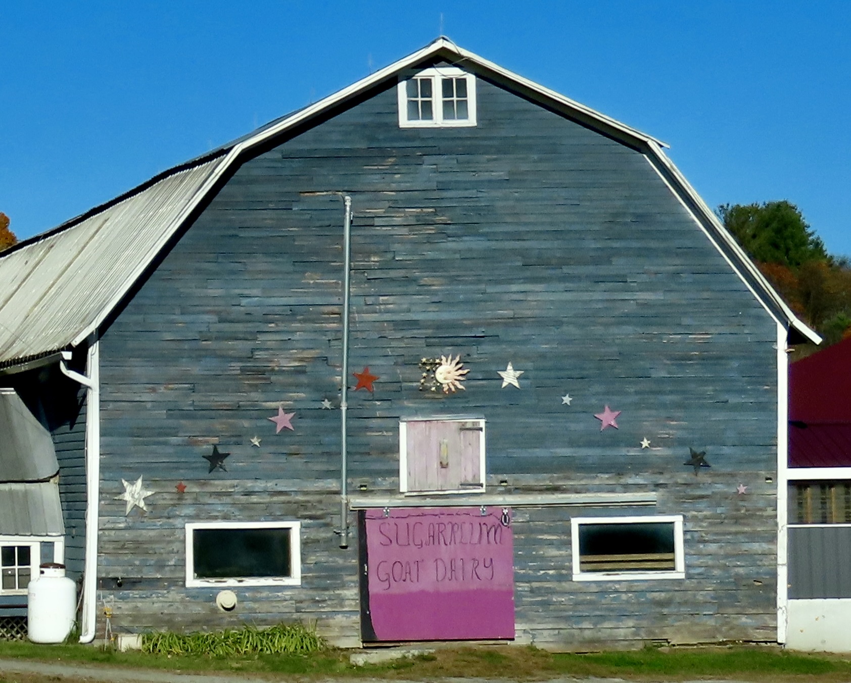
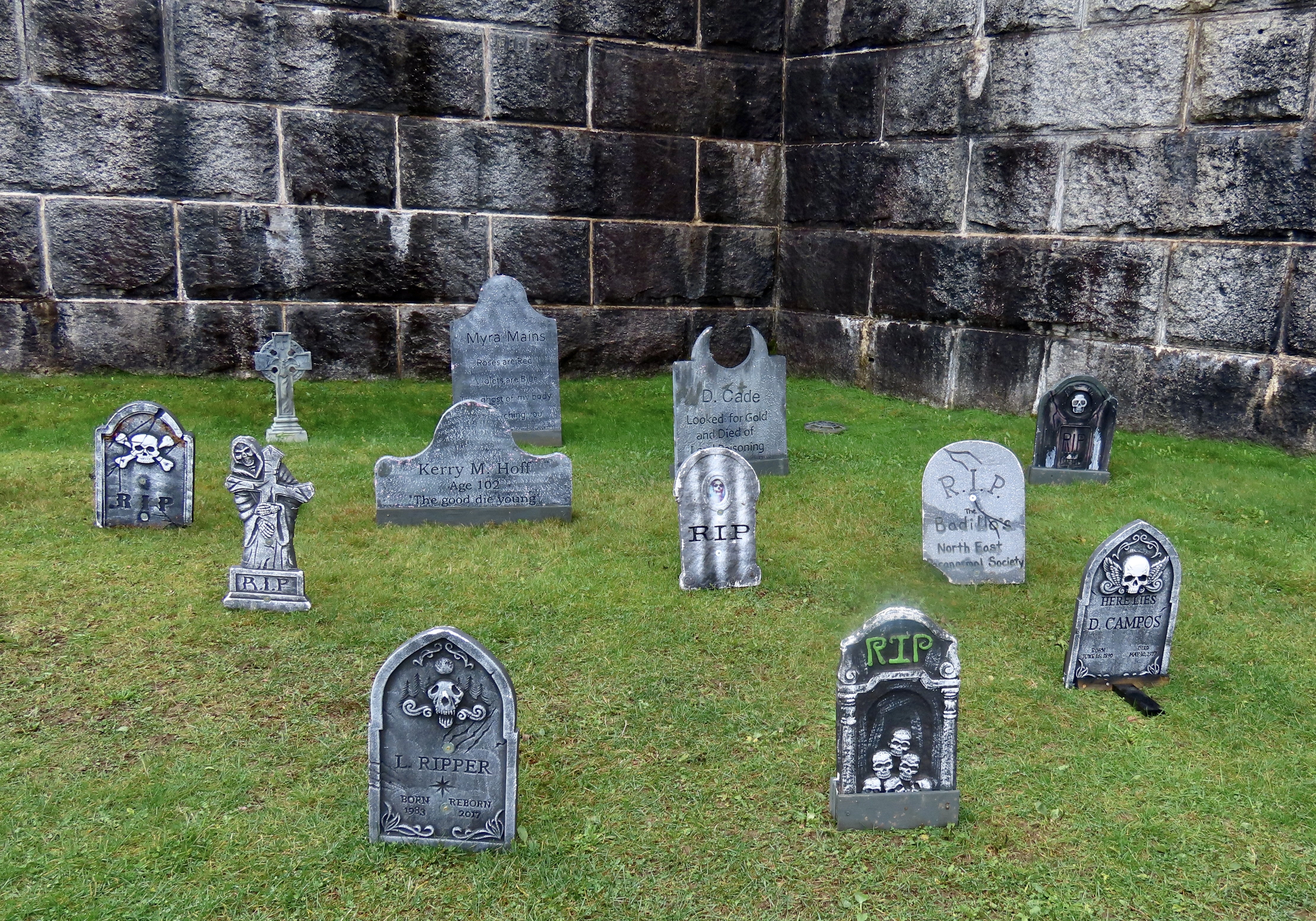
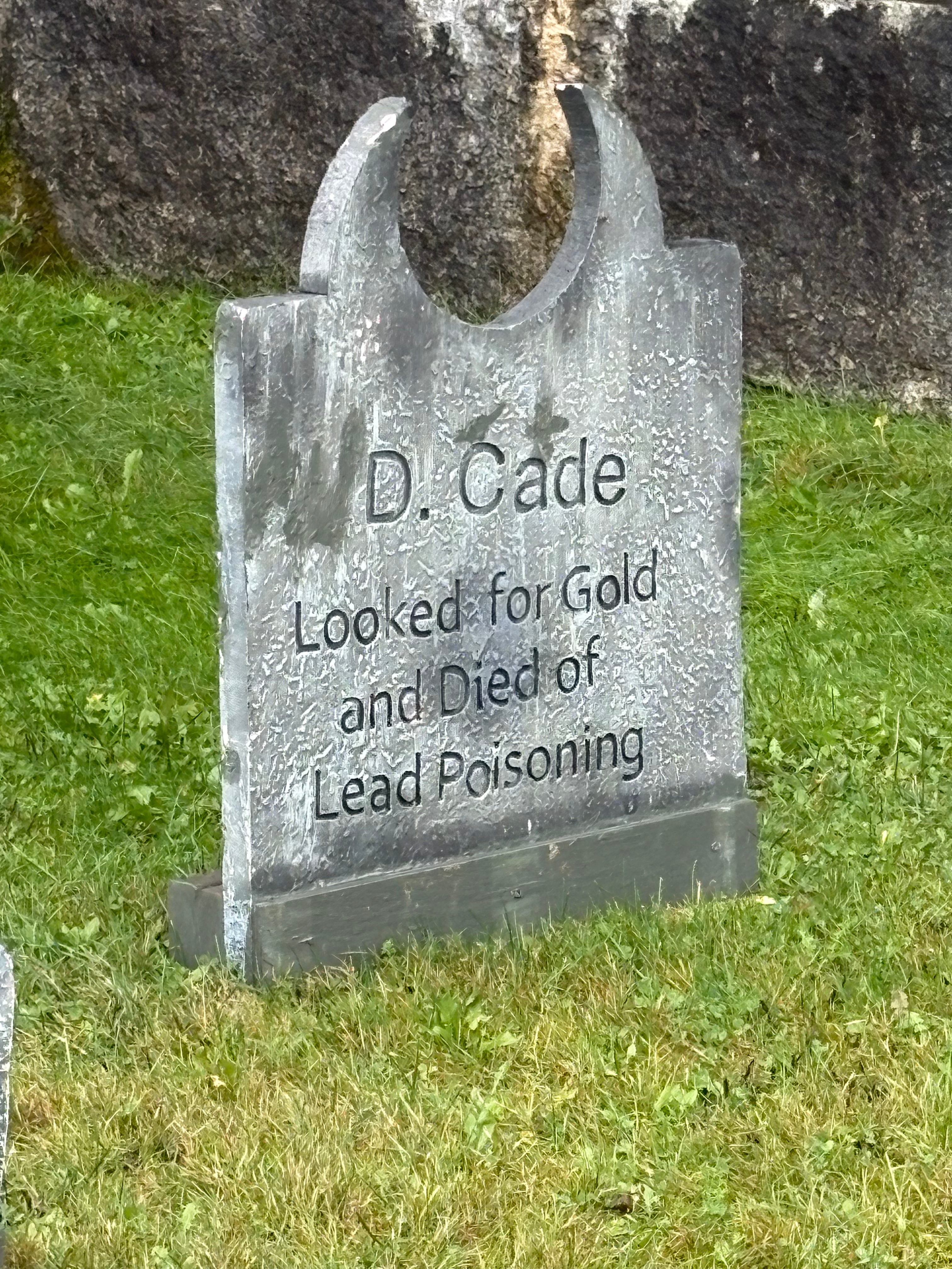
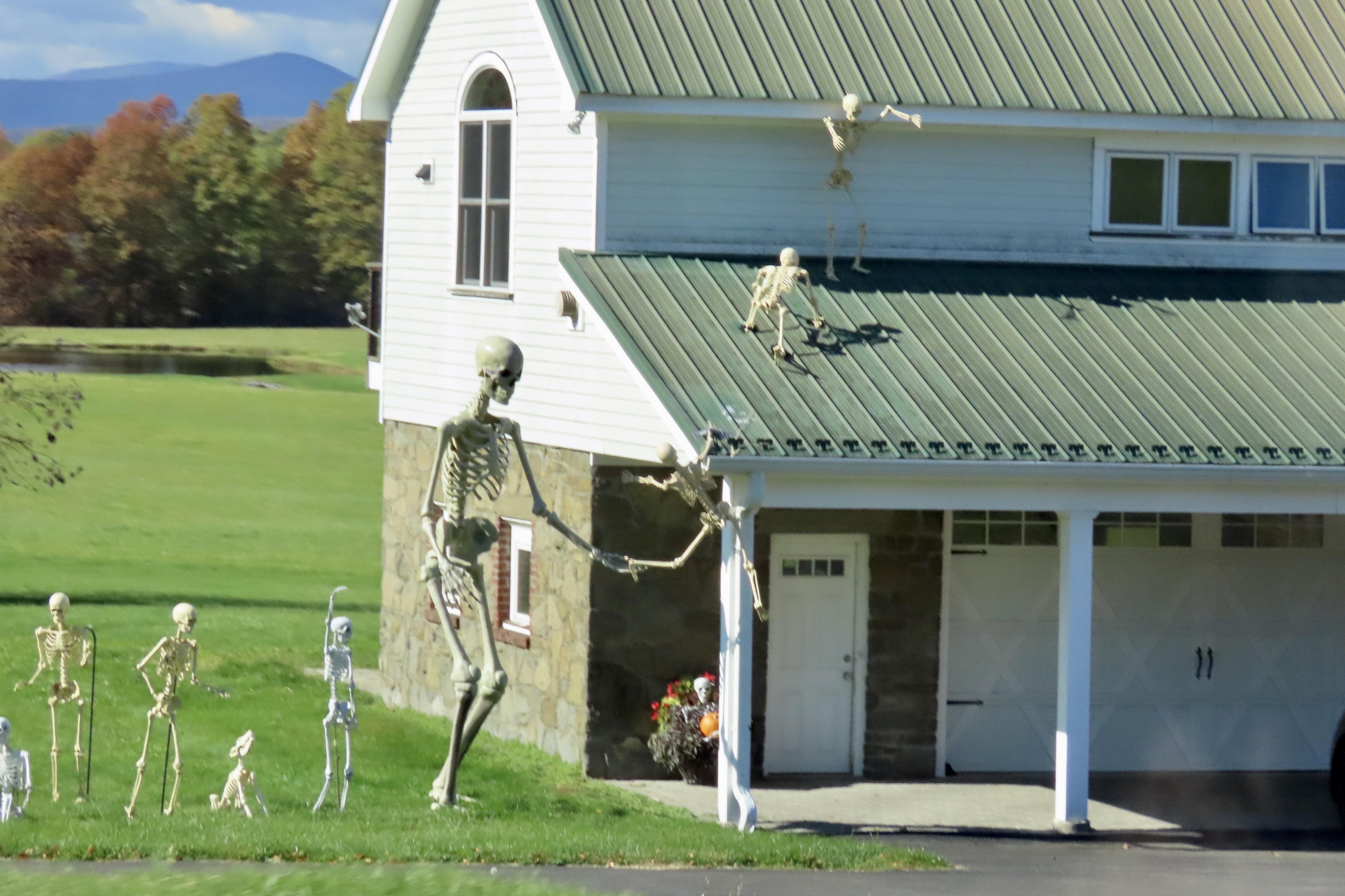
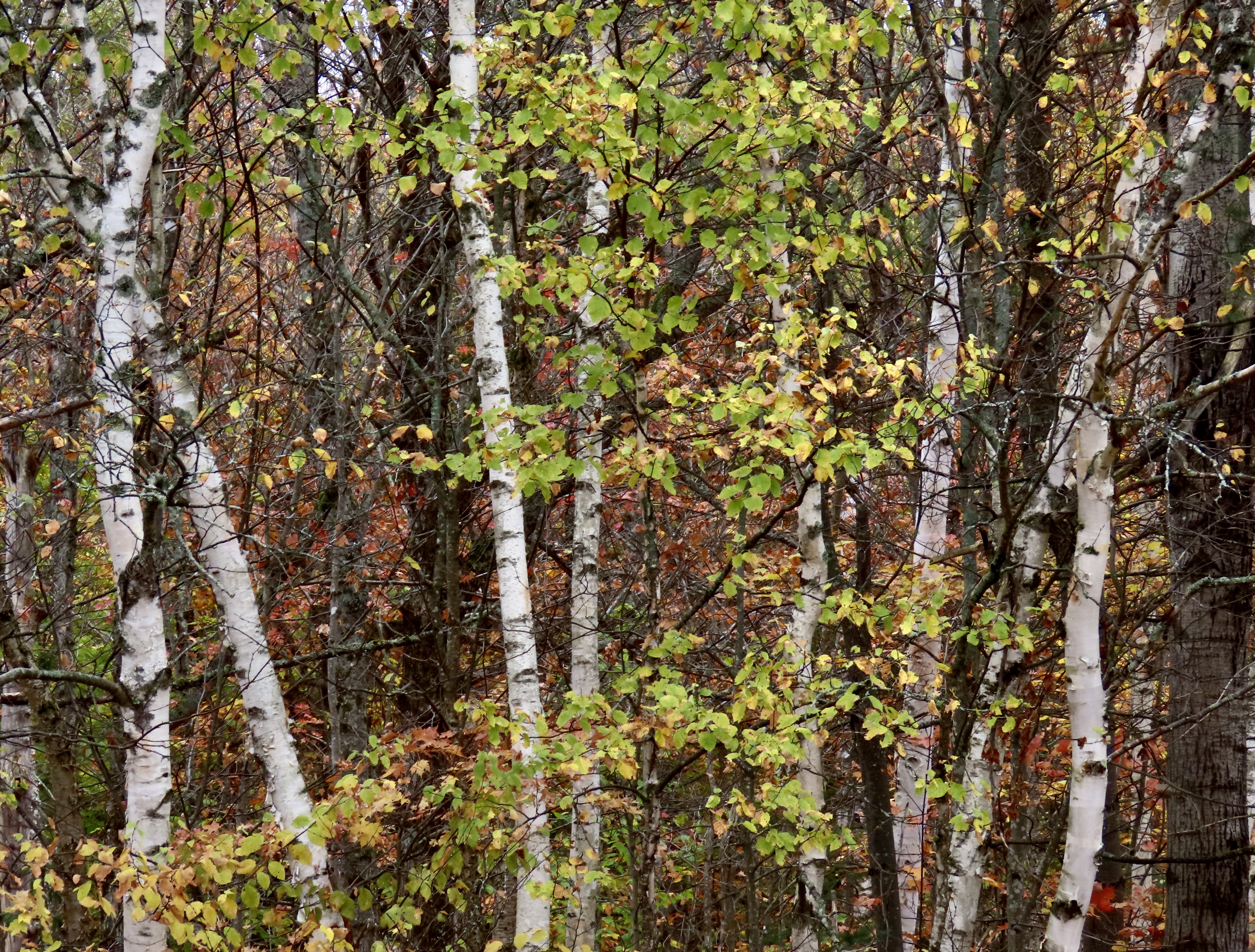
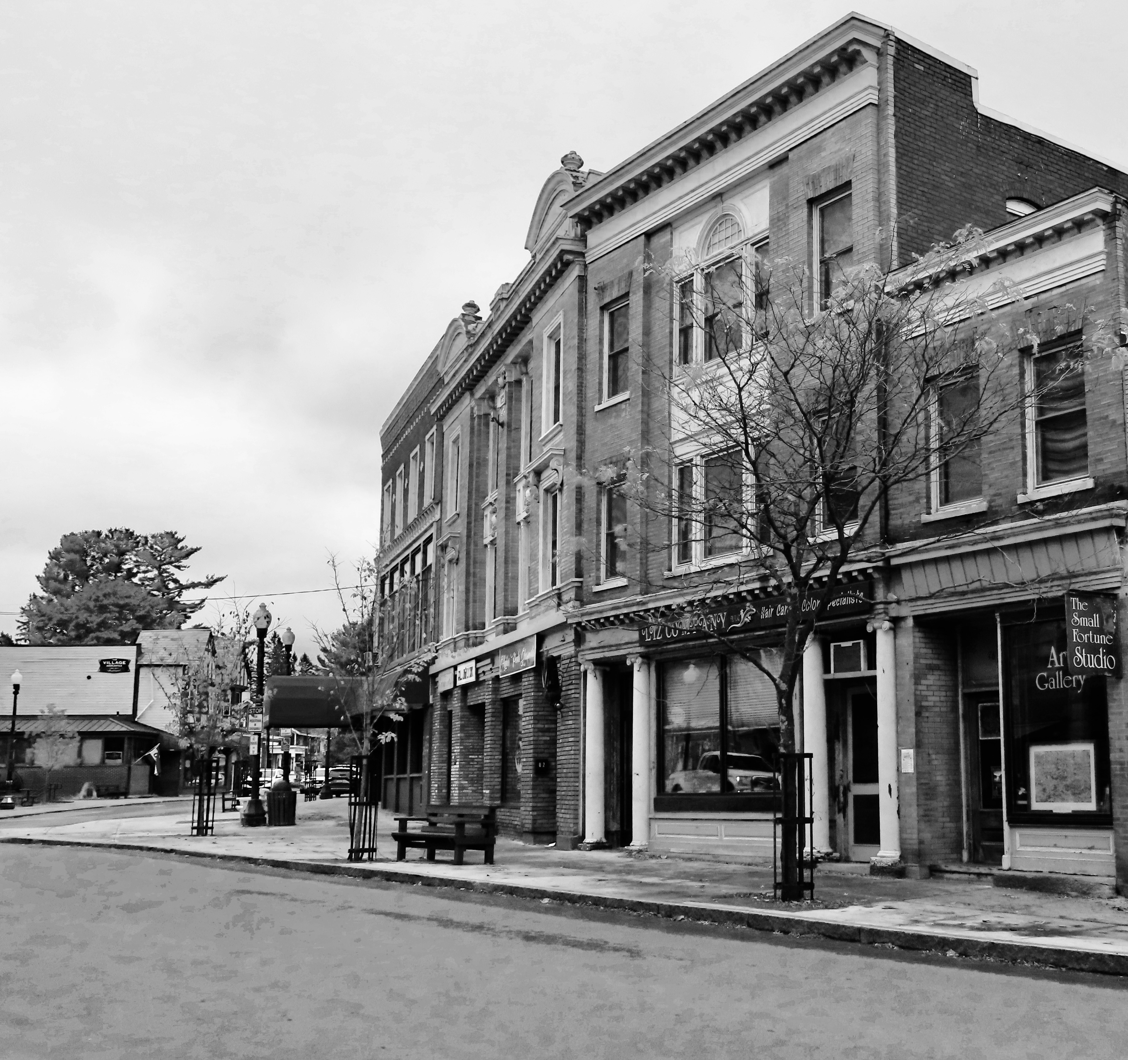
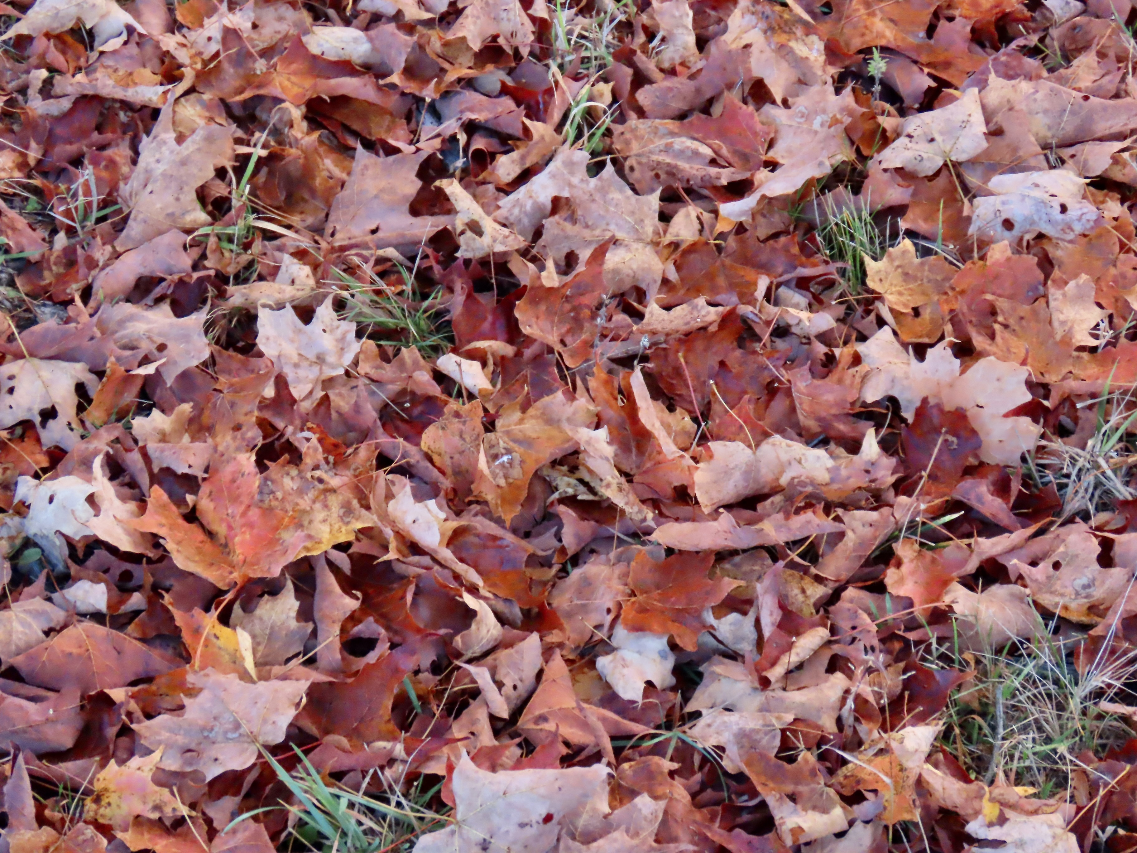
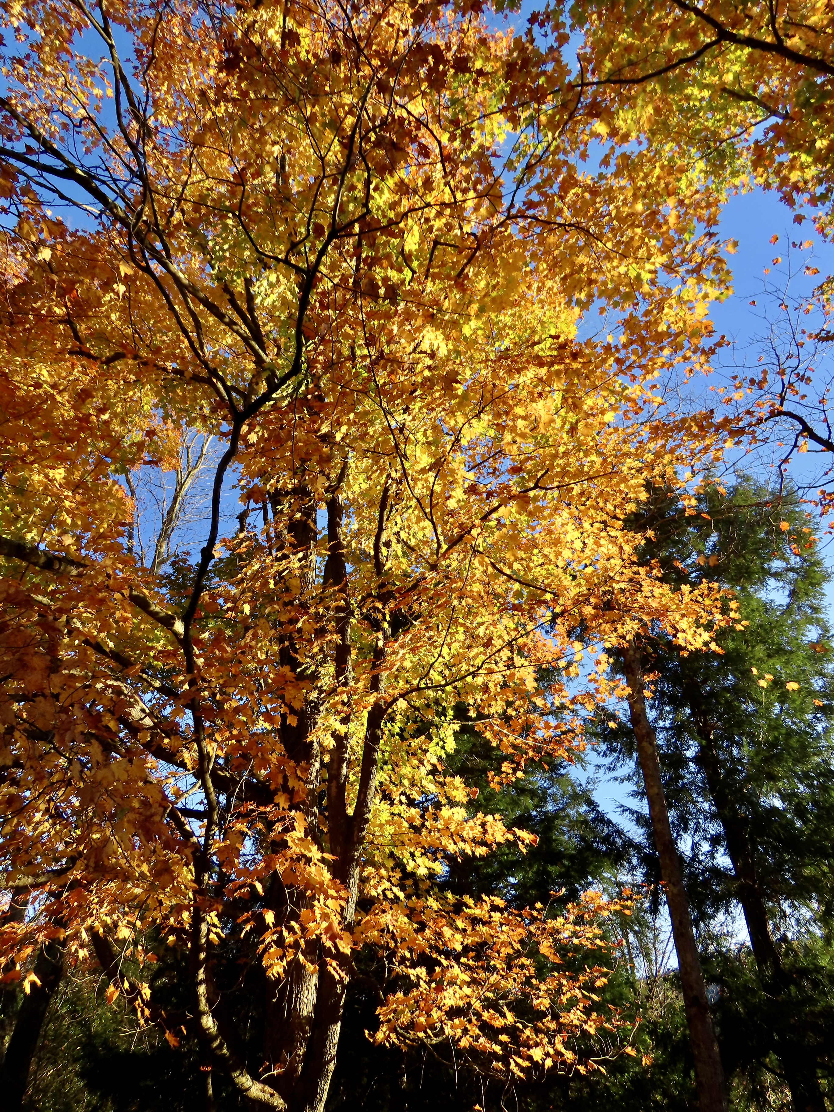
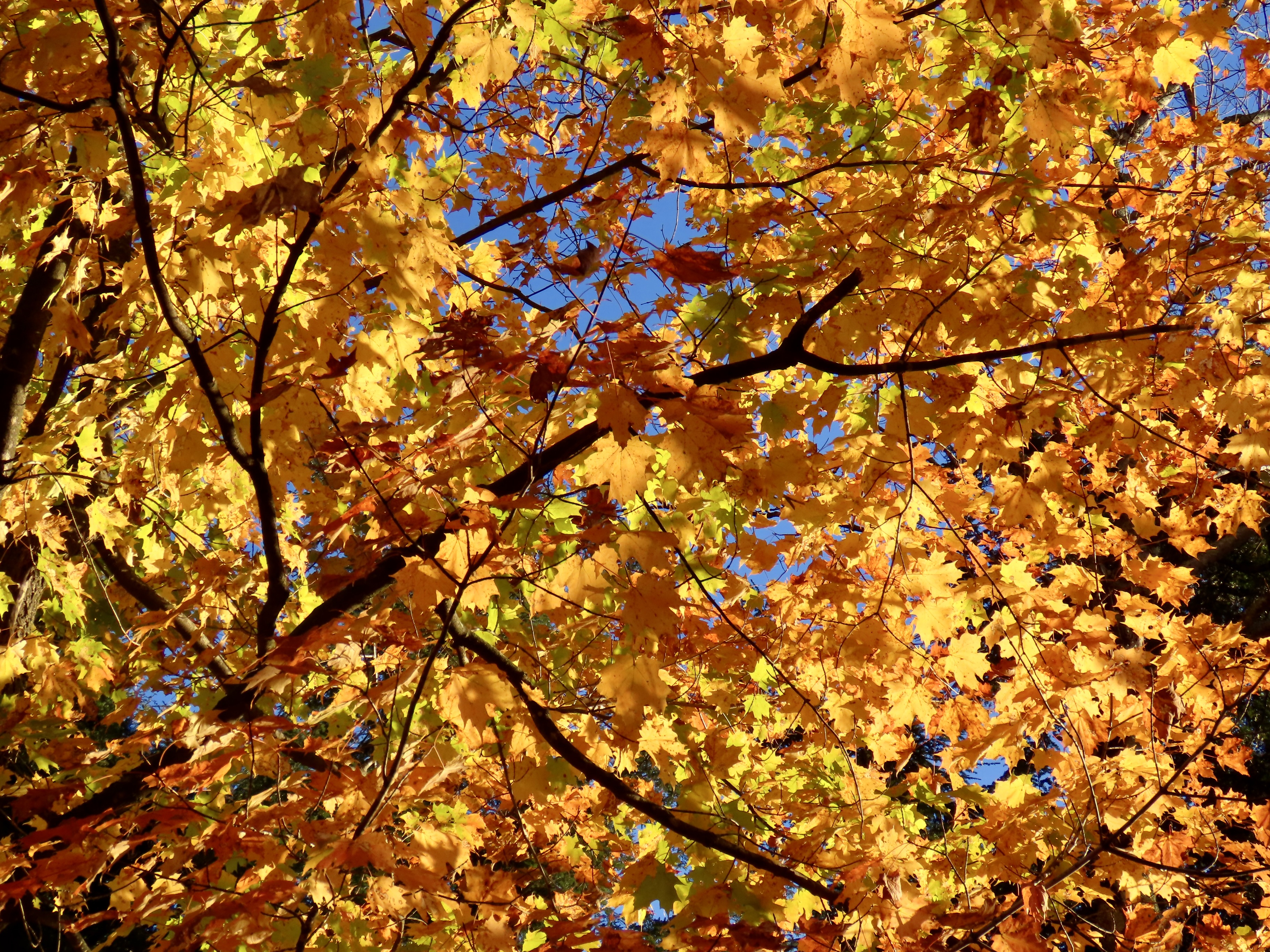
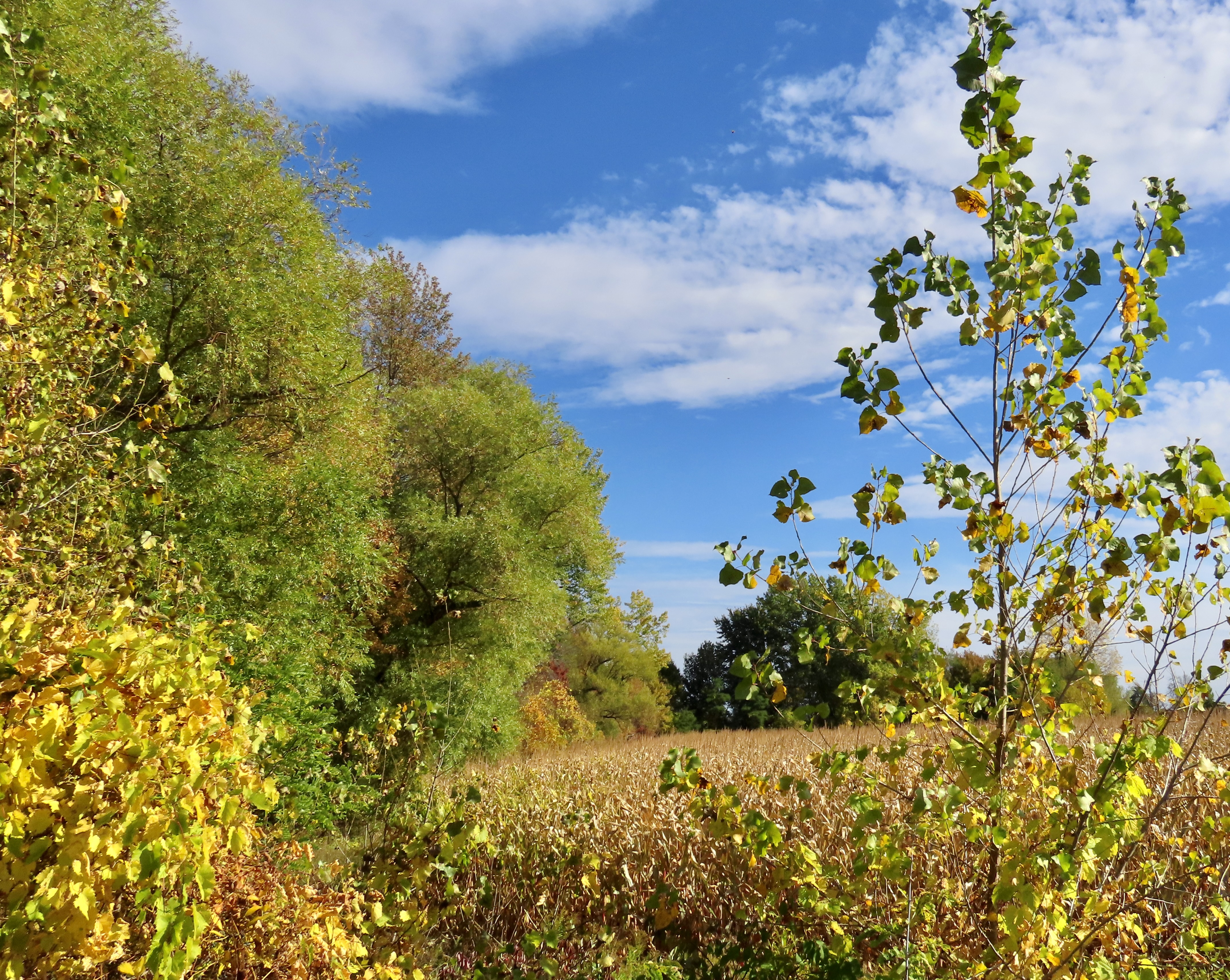
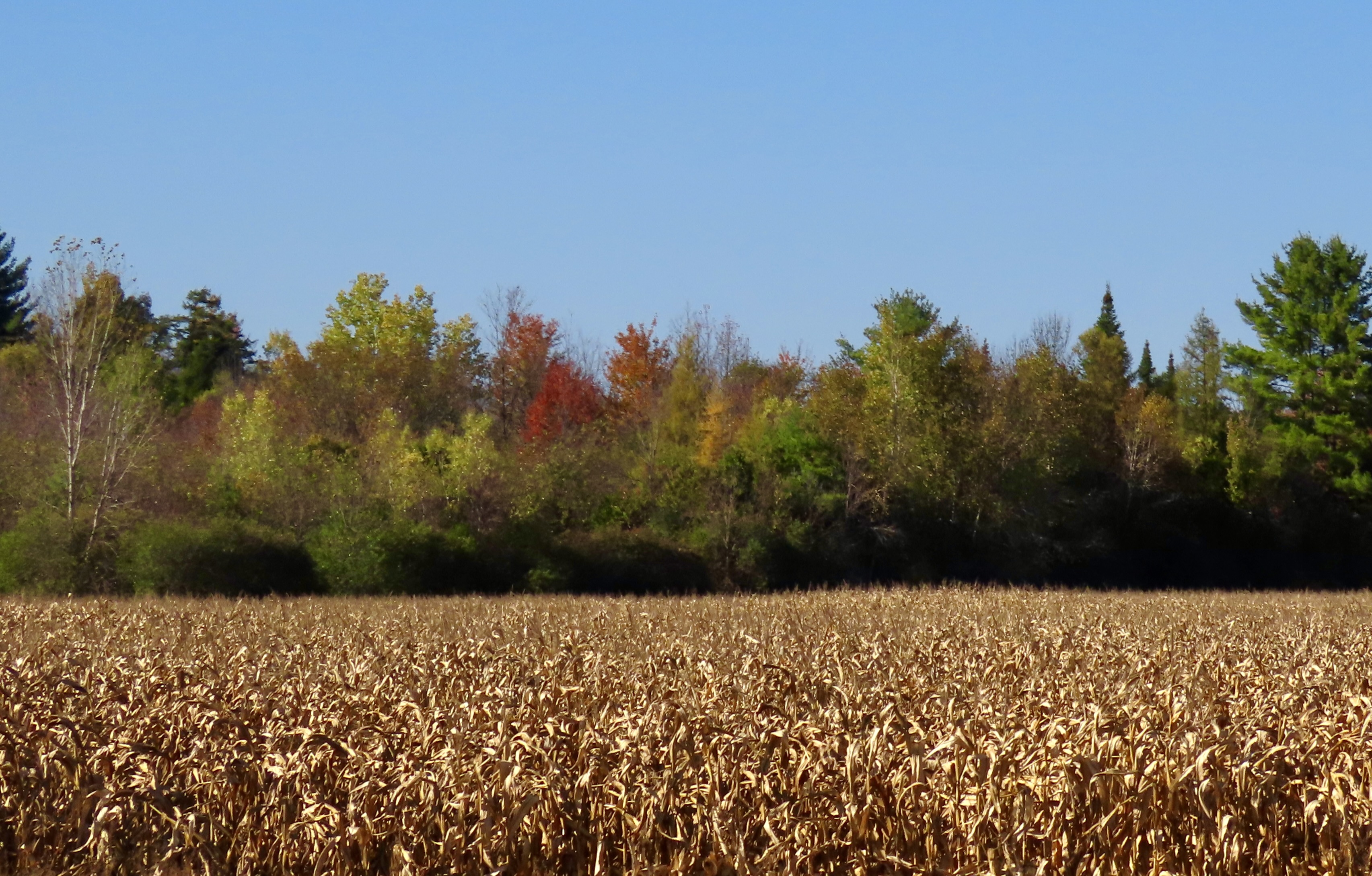
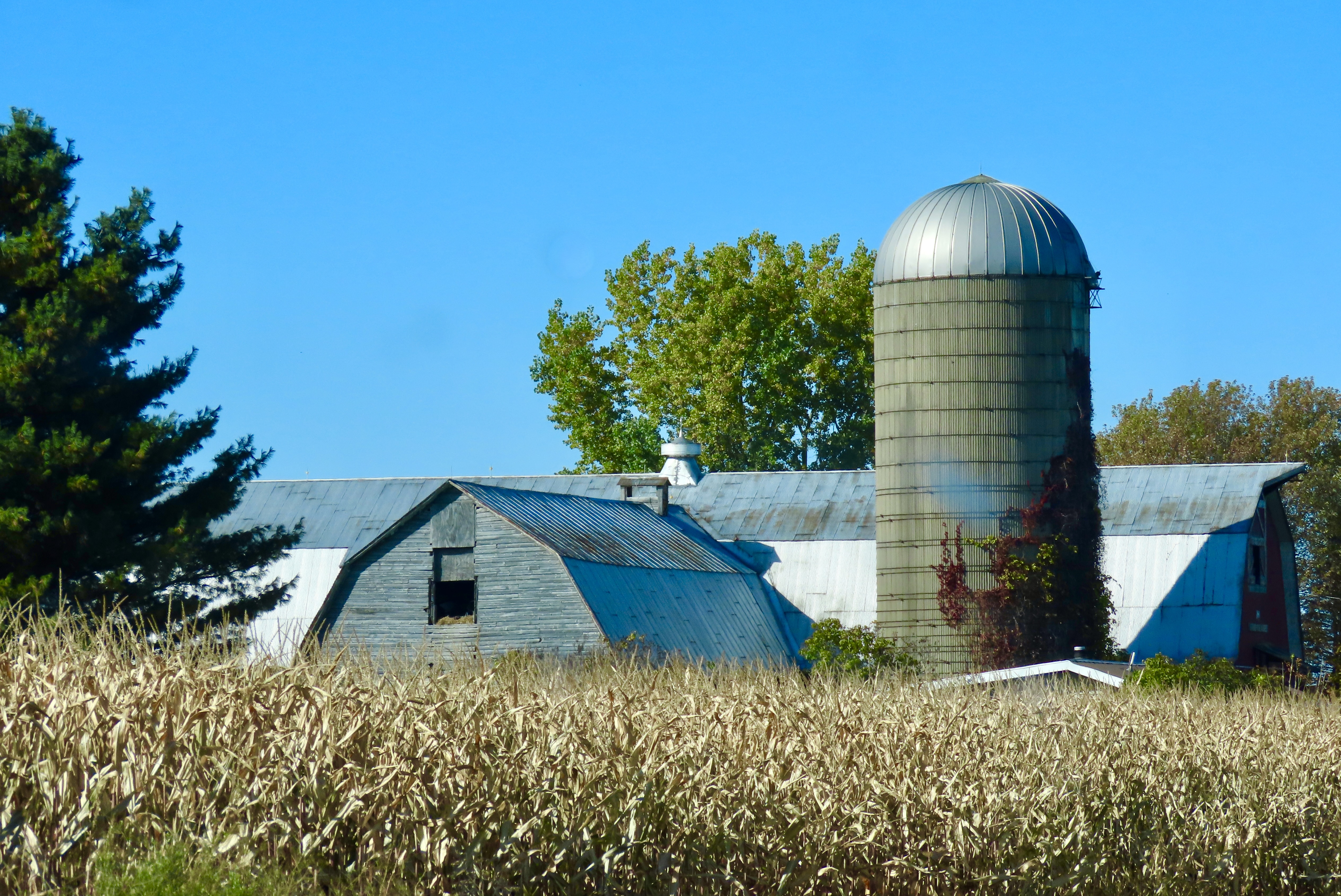
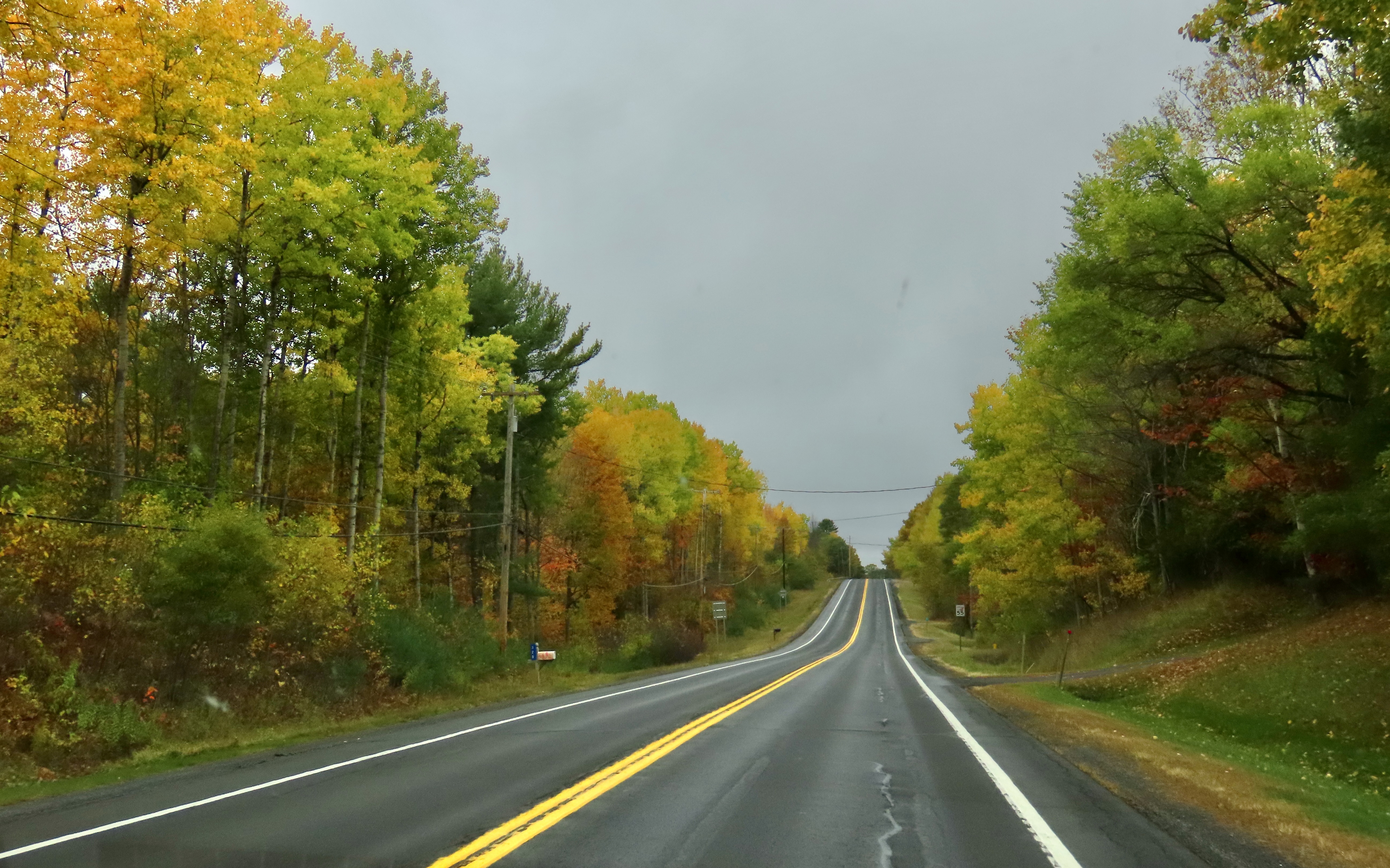
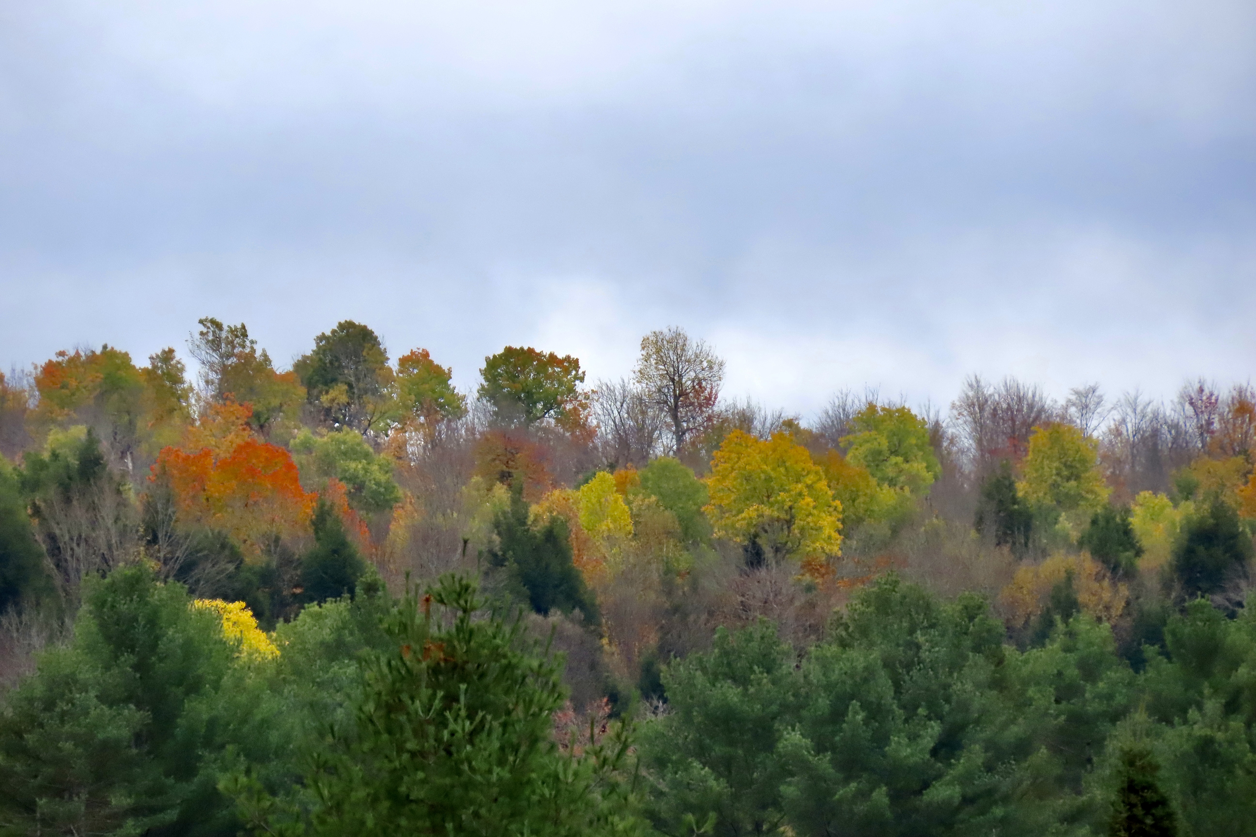
I’ll conclude with a few fall photos we took near Chazy, NY, where we stayed after our Vermont cabin.


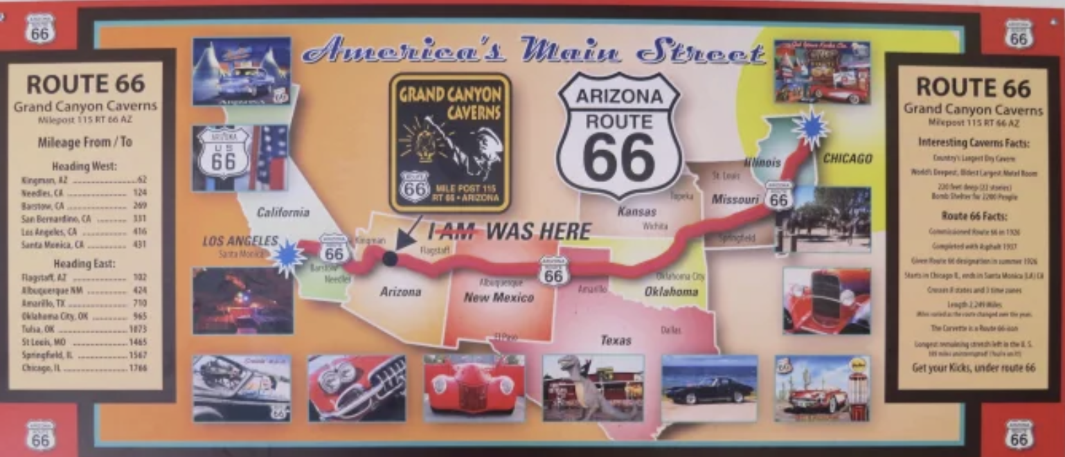

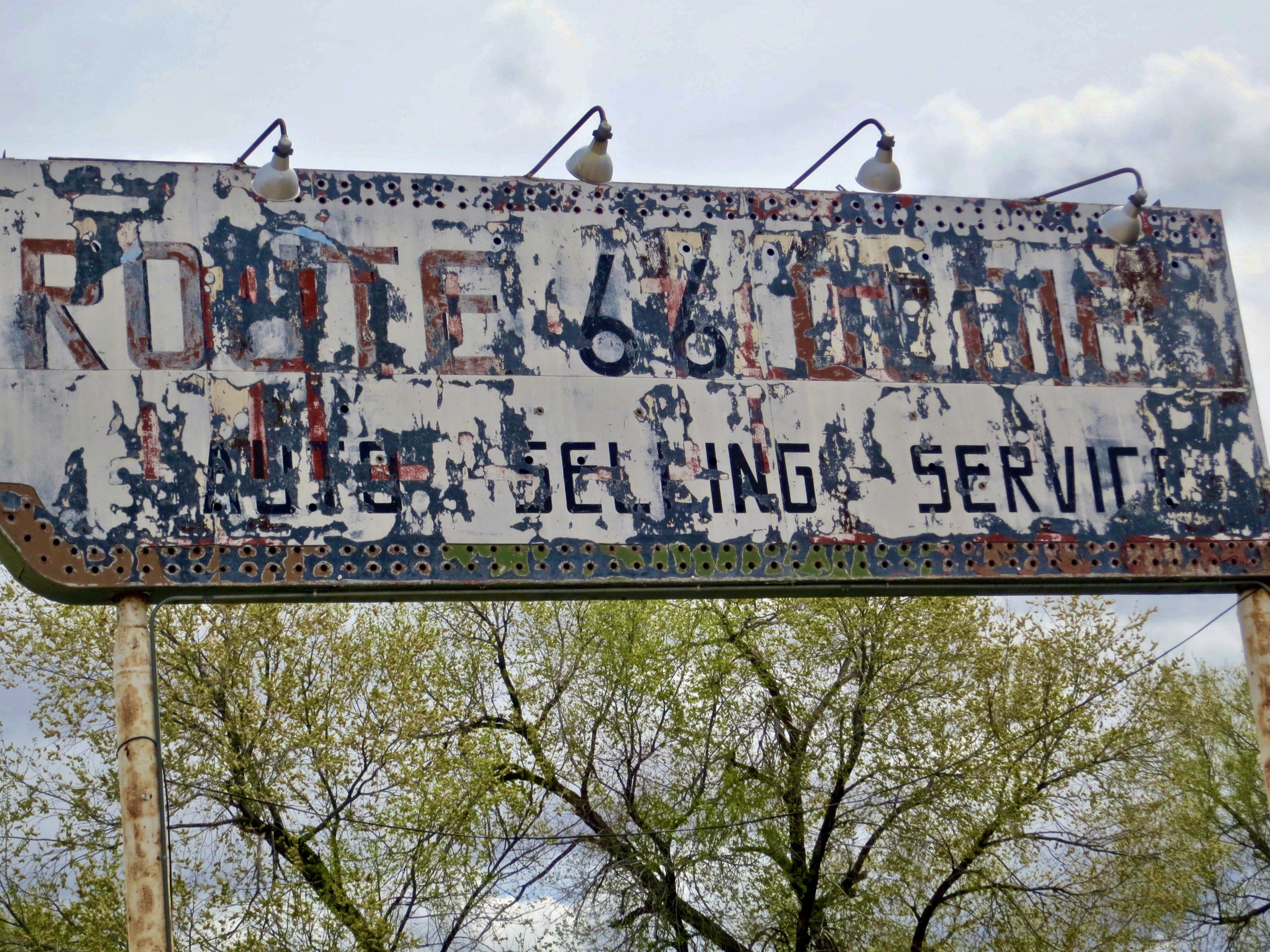
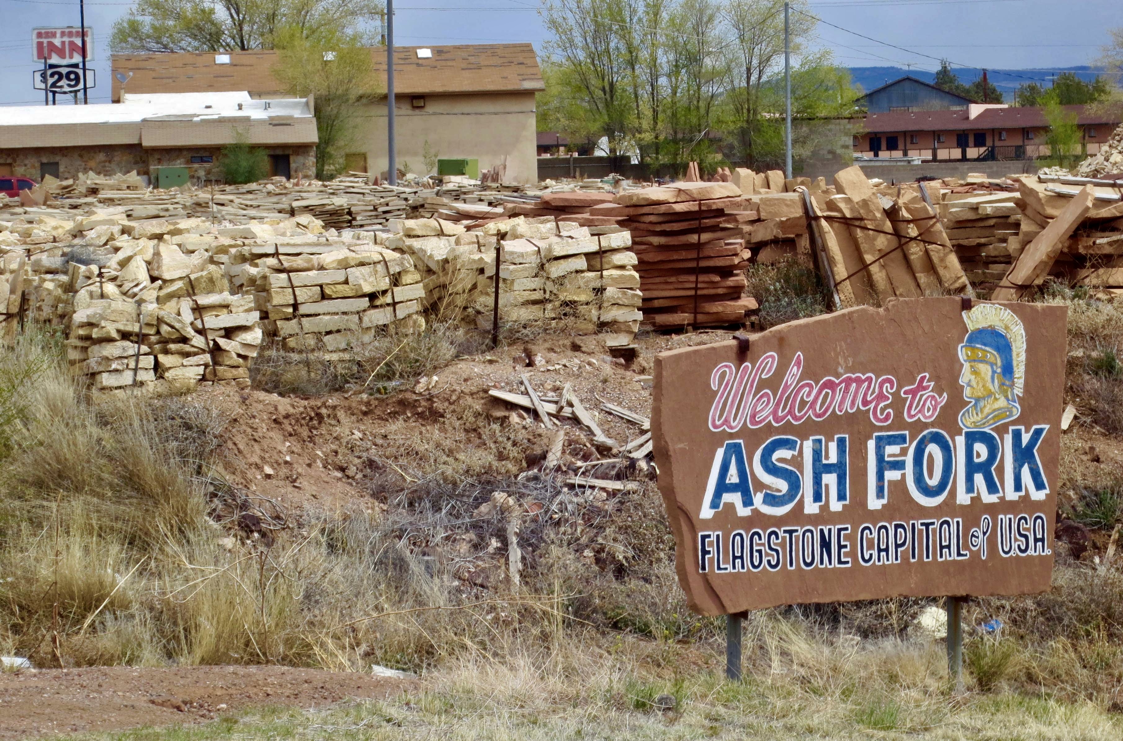
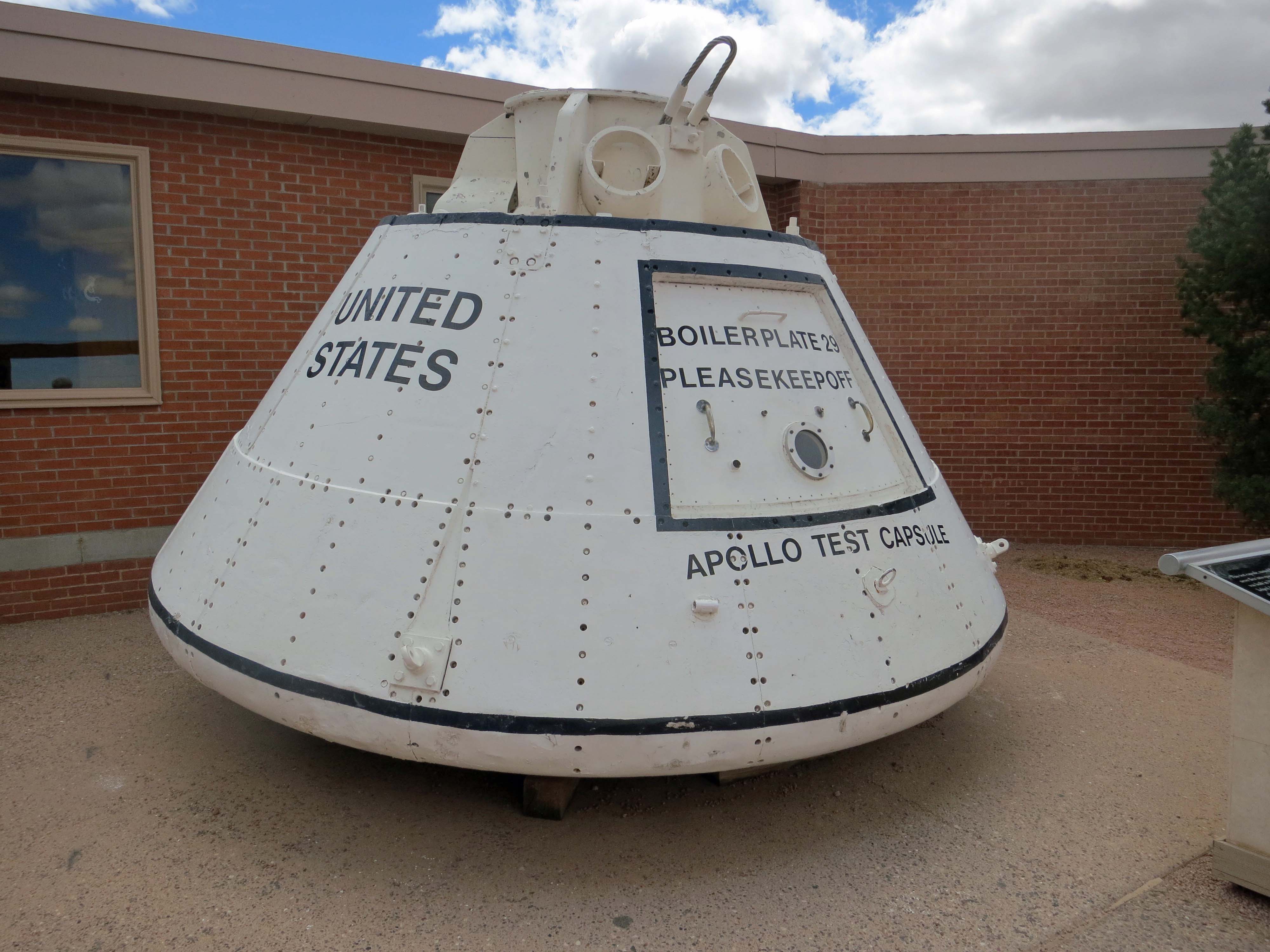
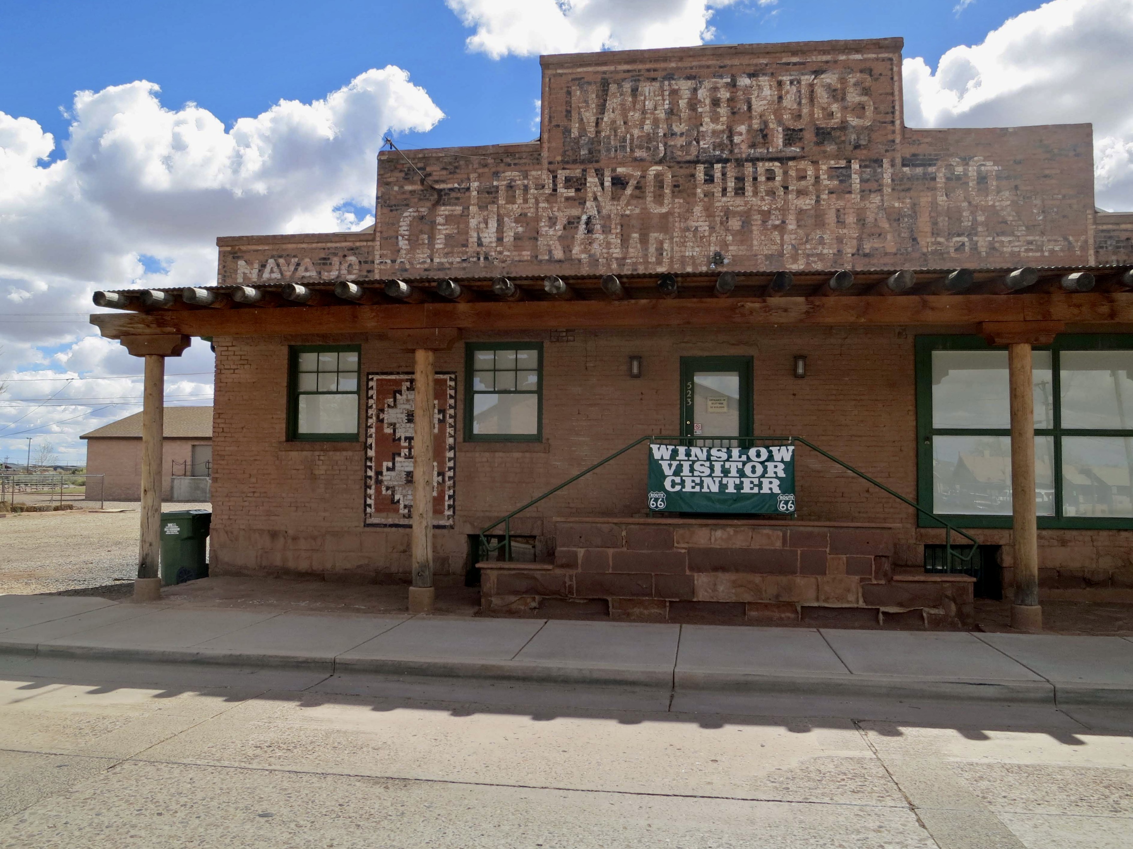
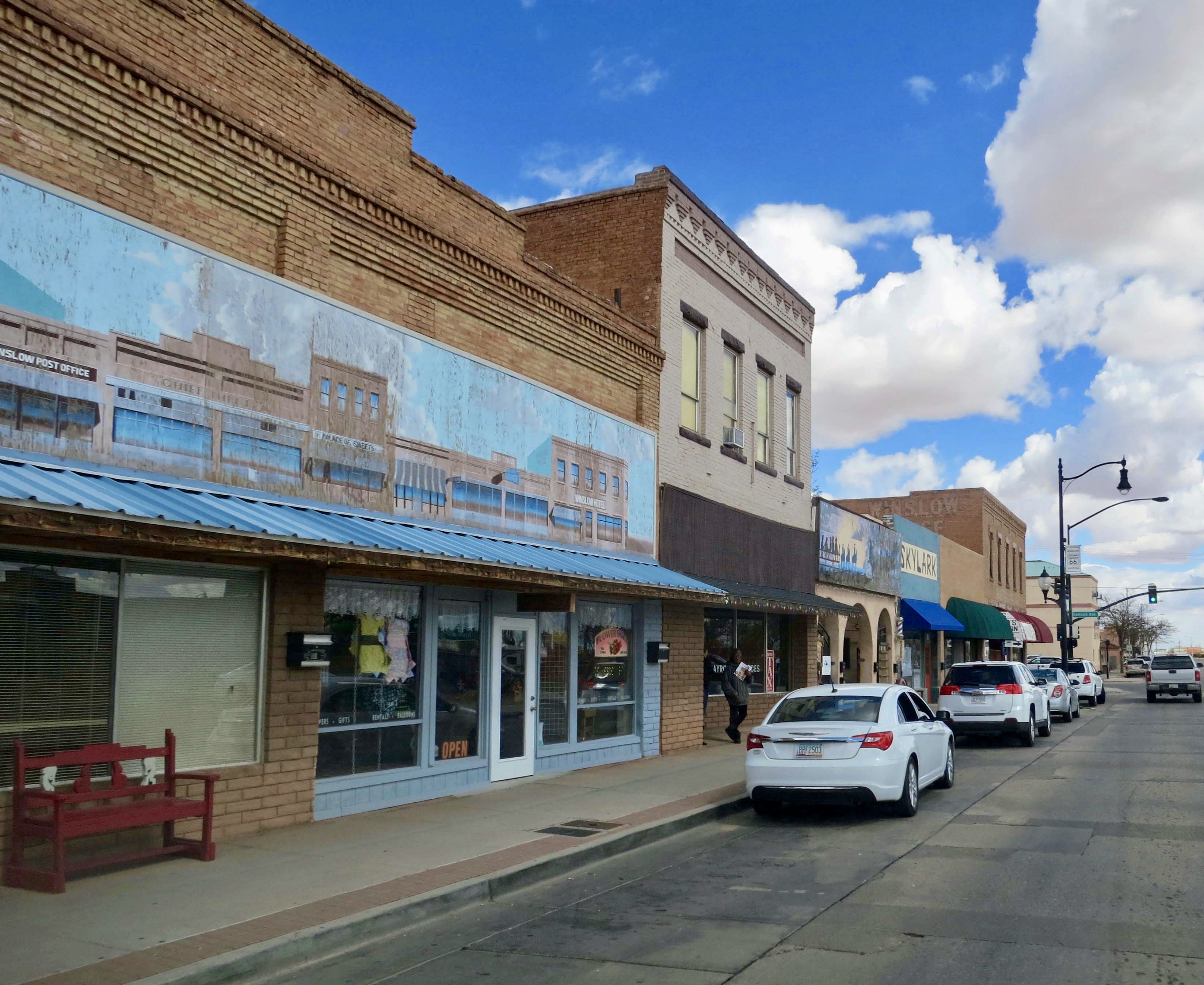

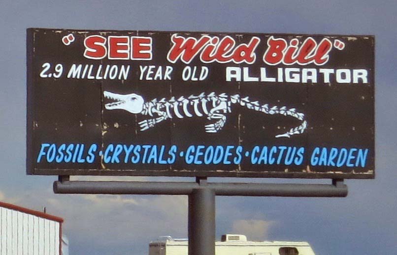
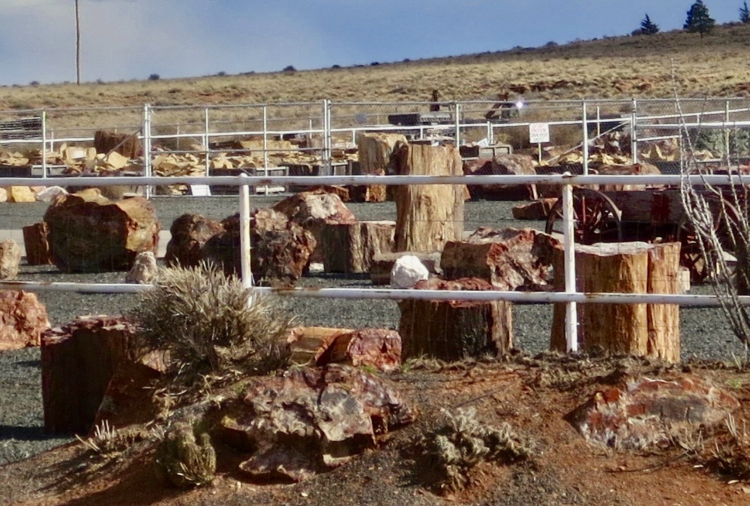

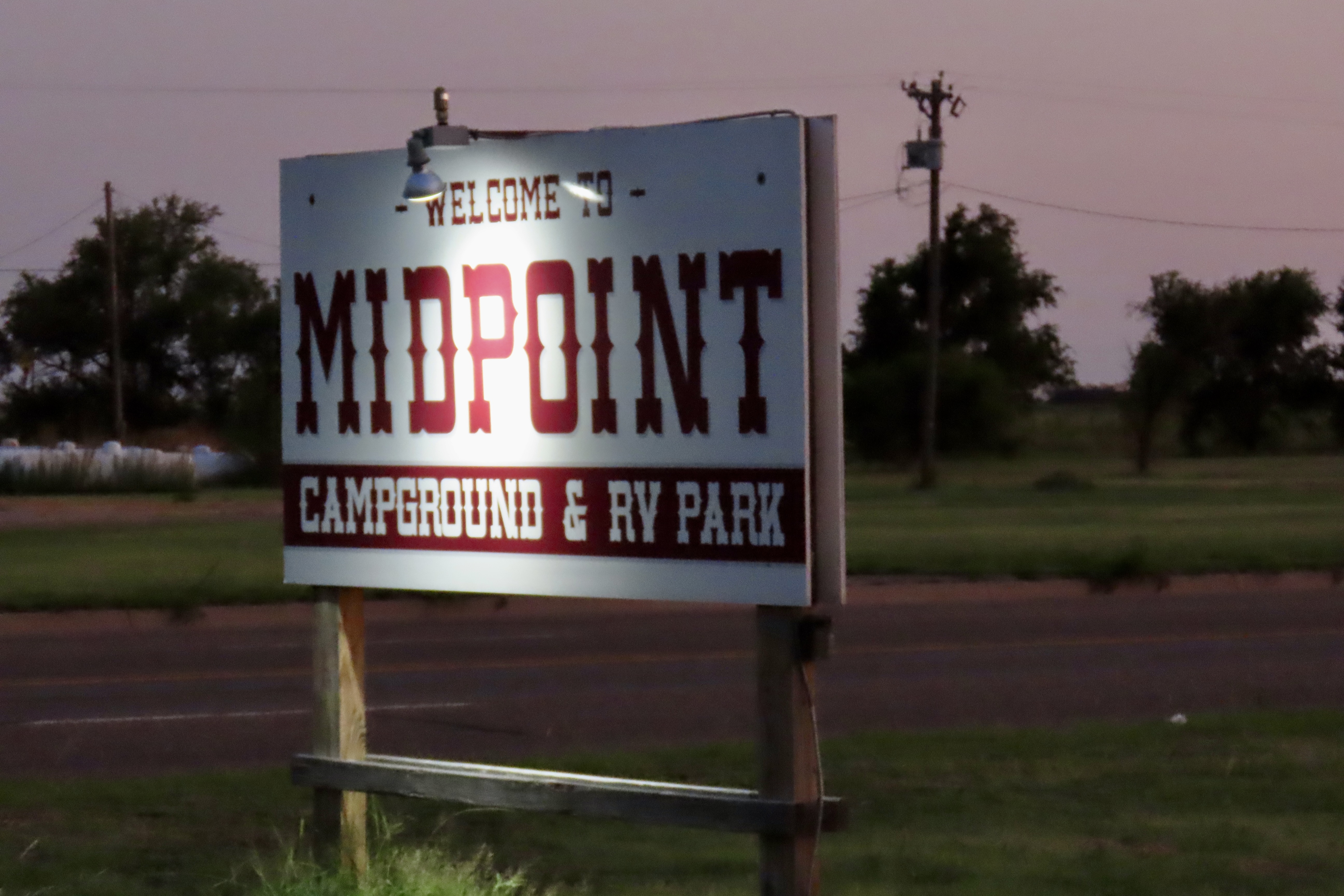
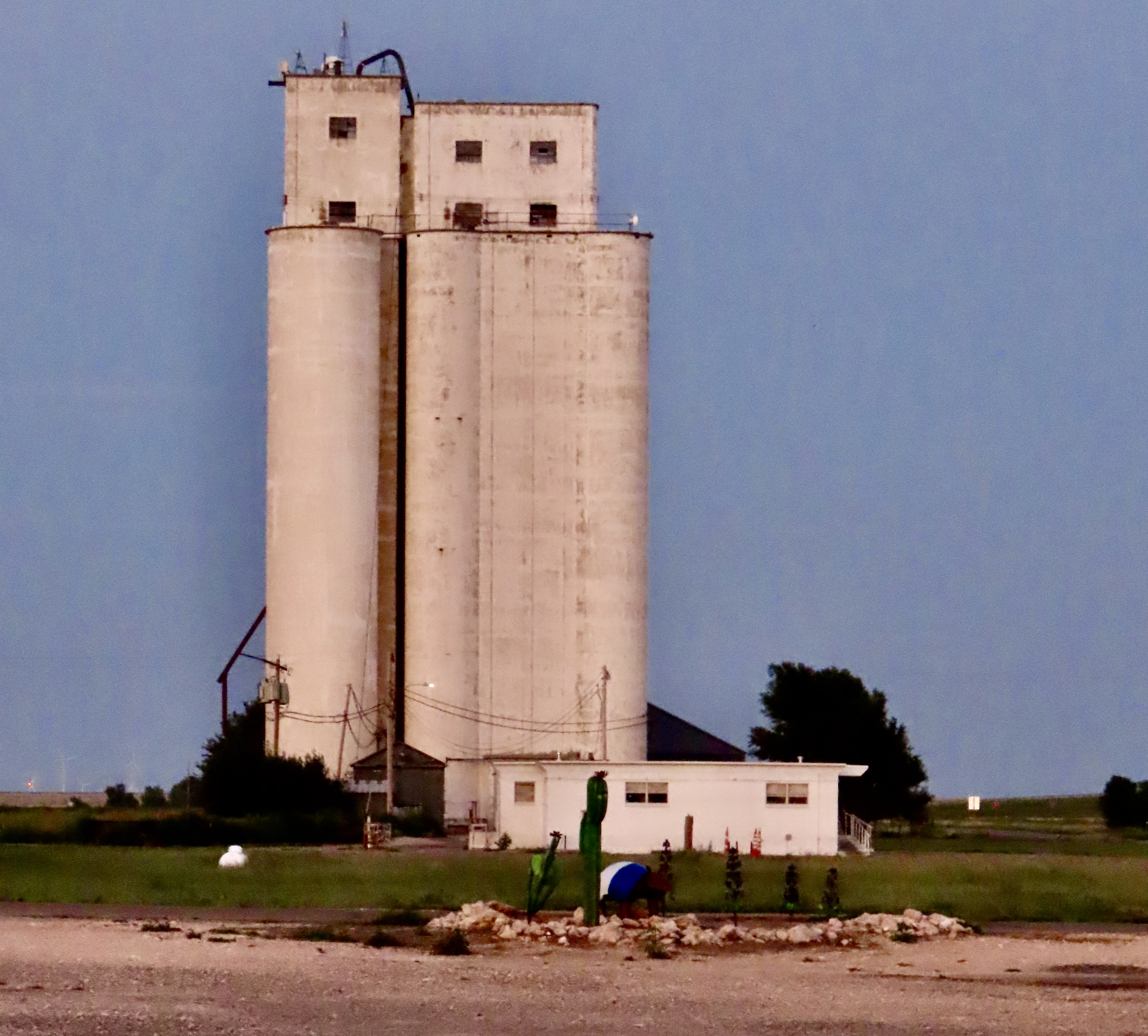
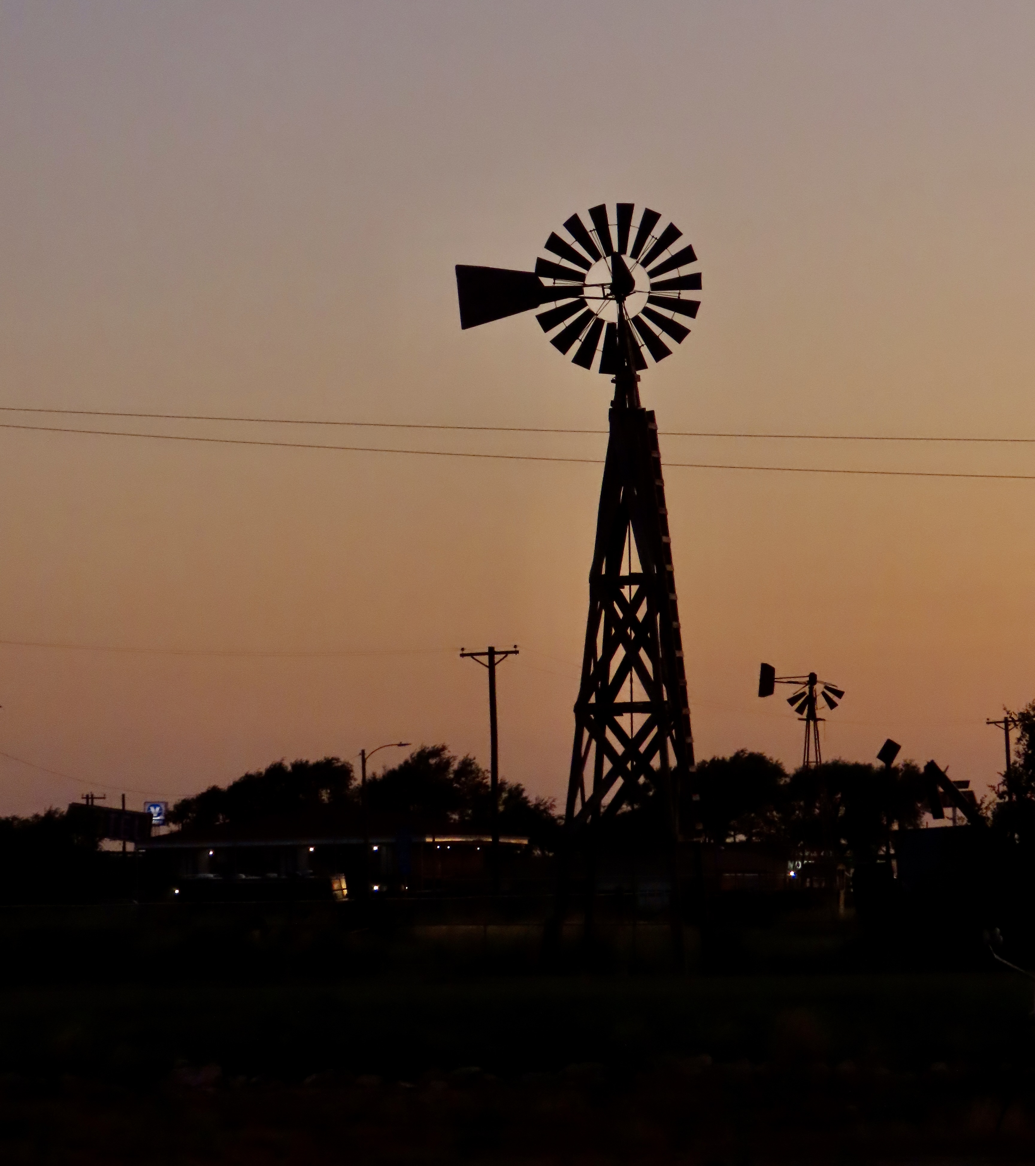
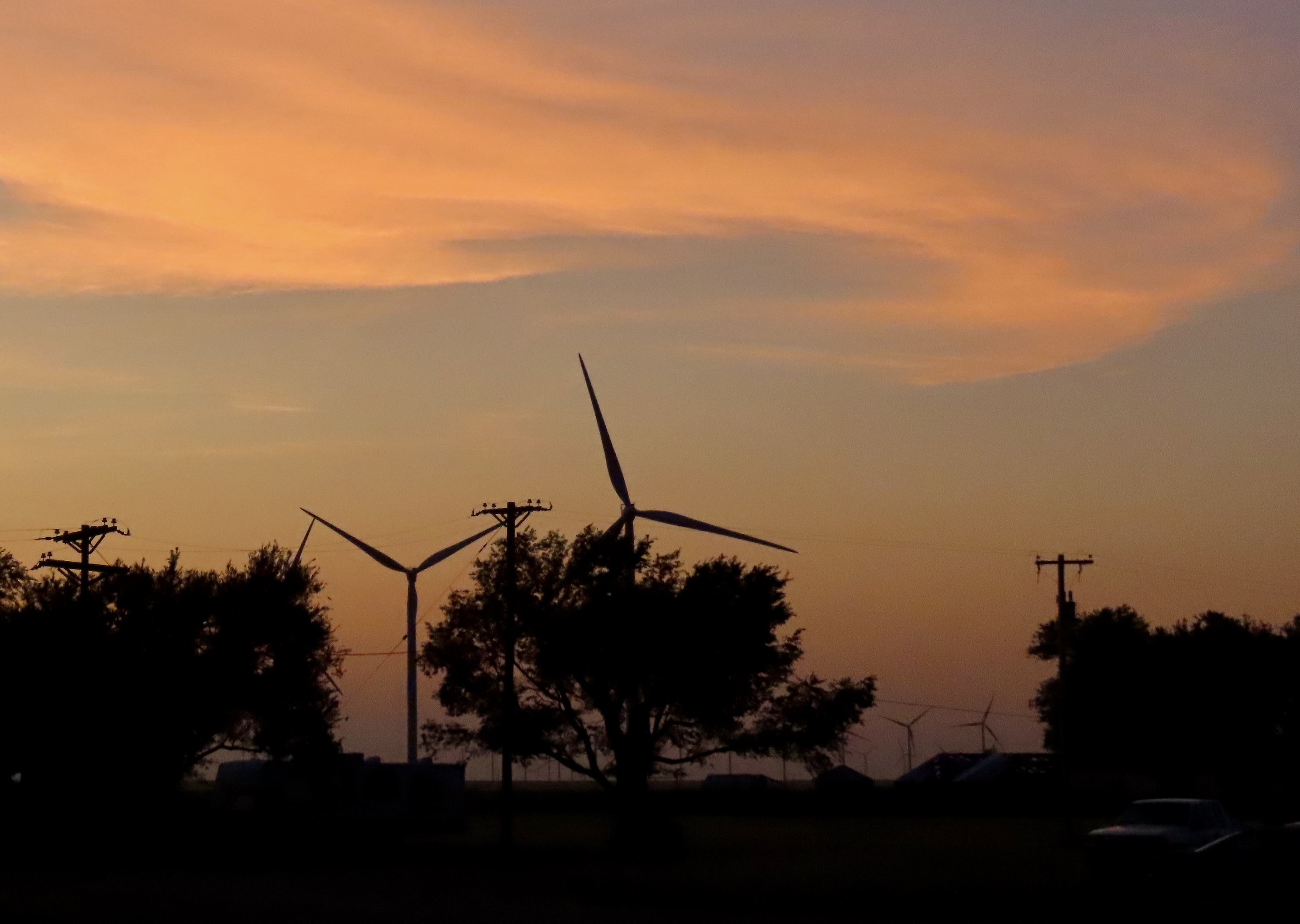
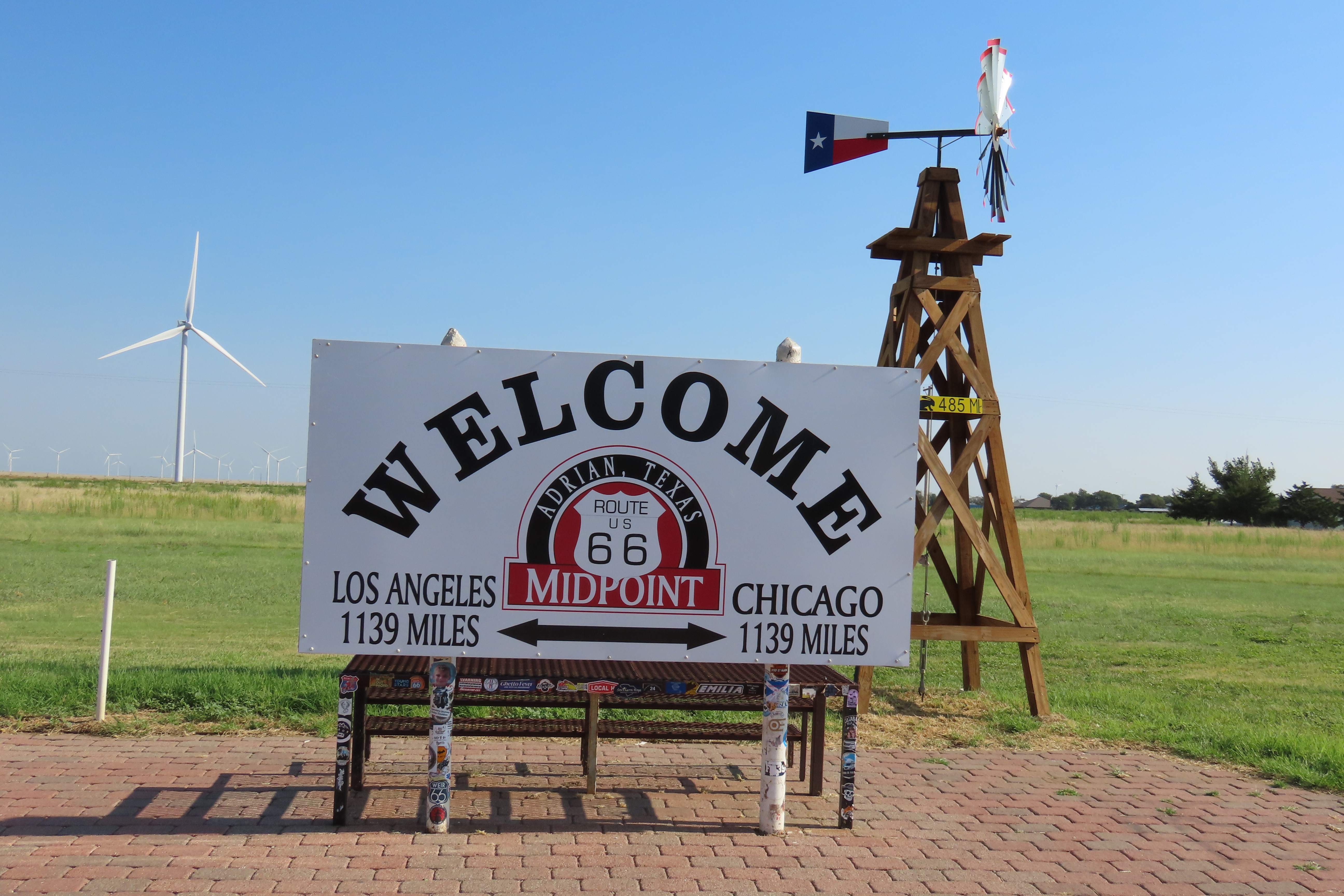
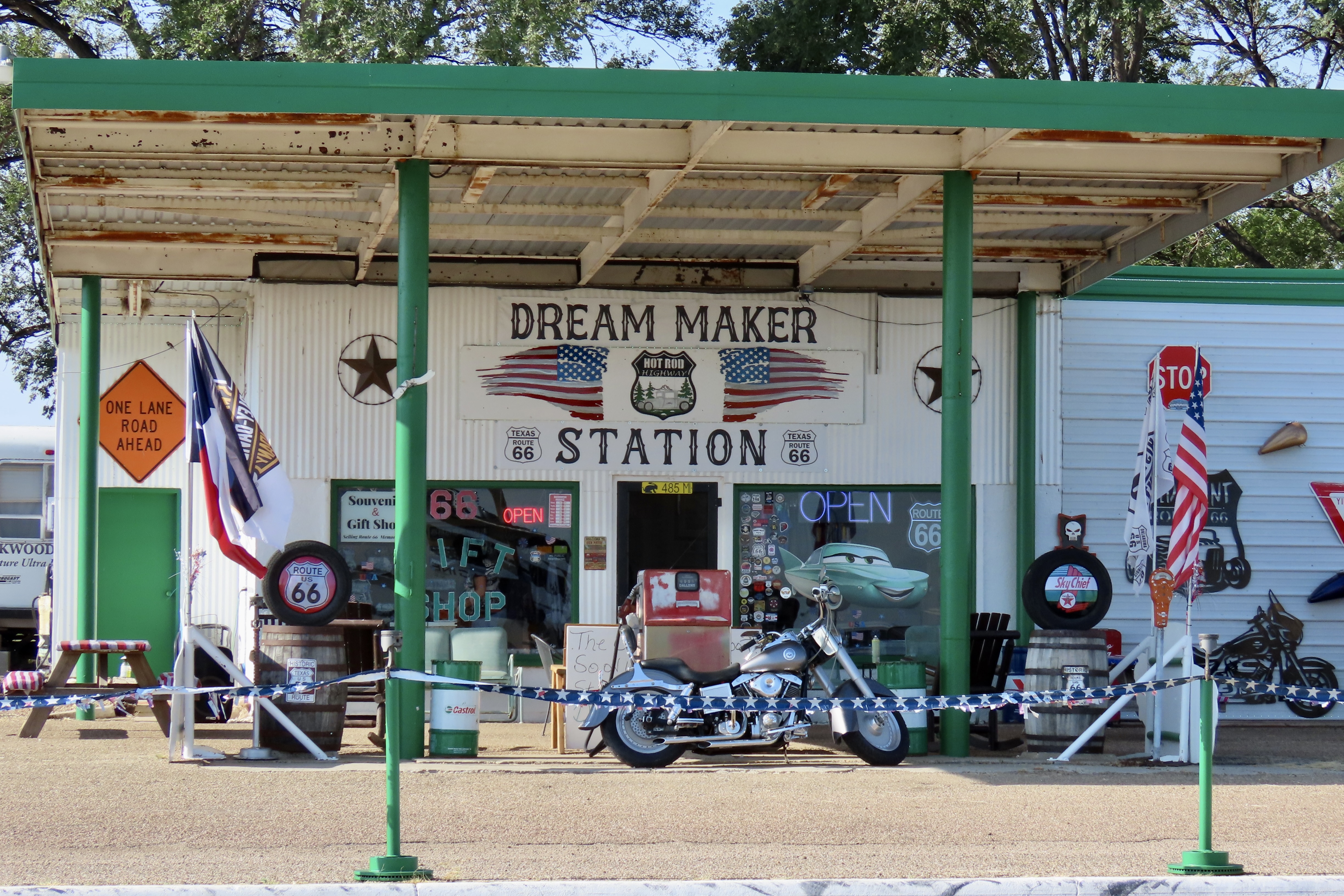

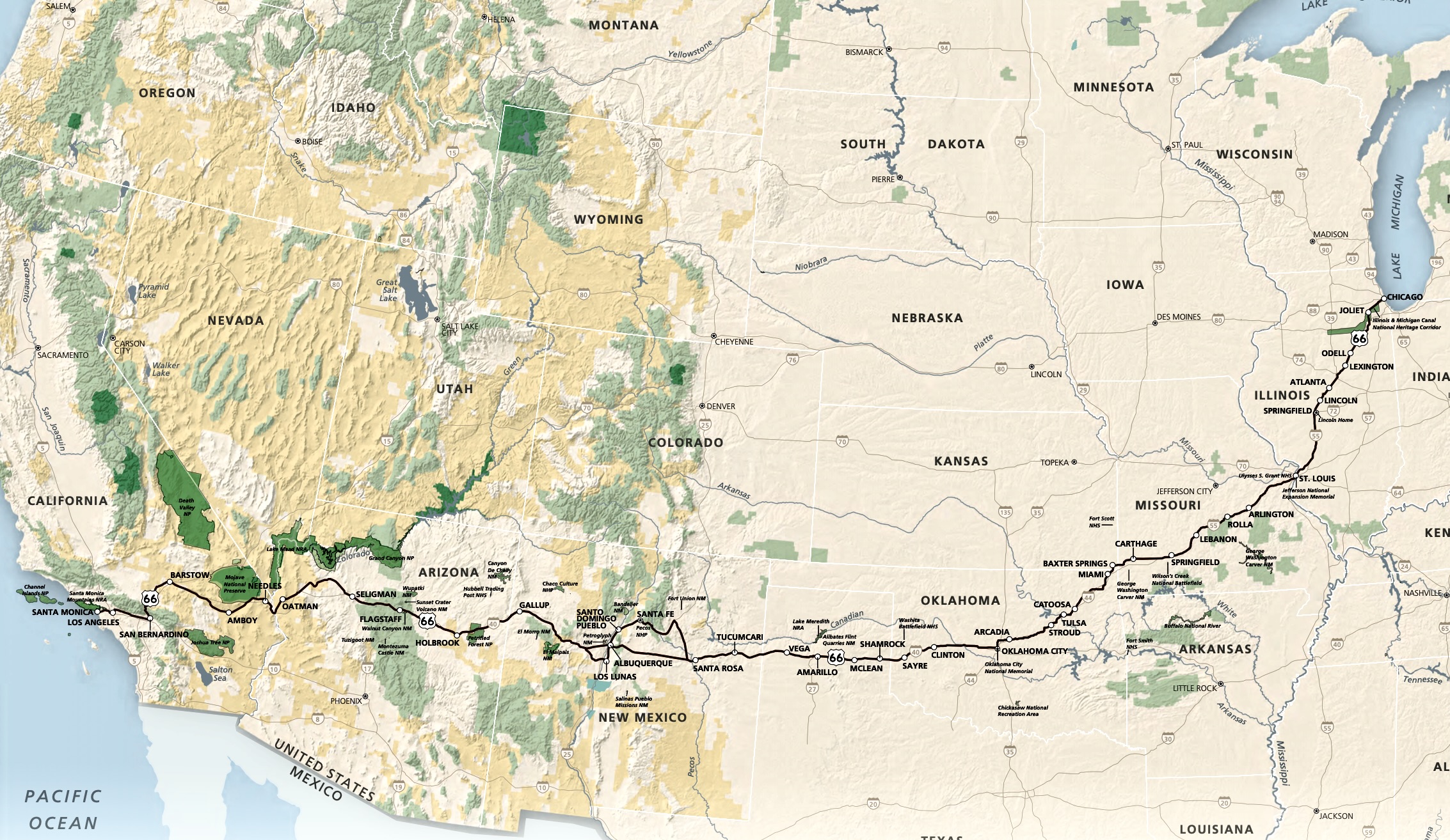
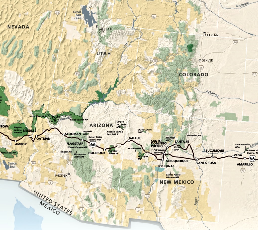
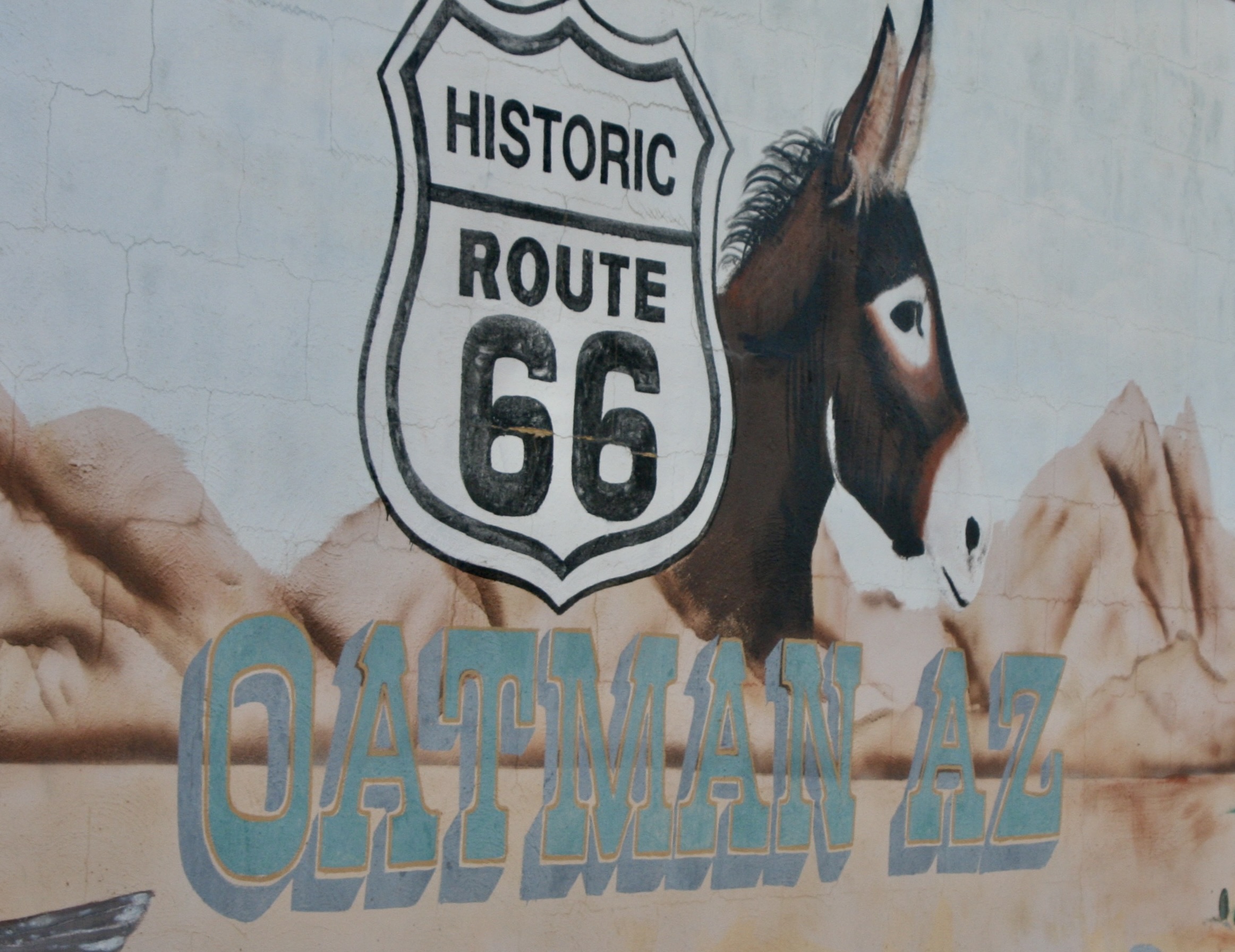
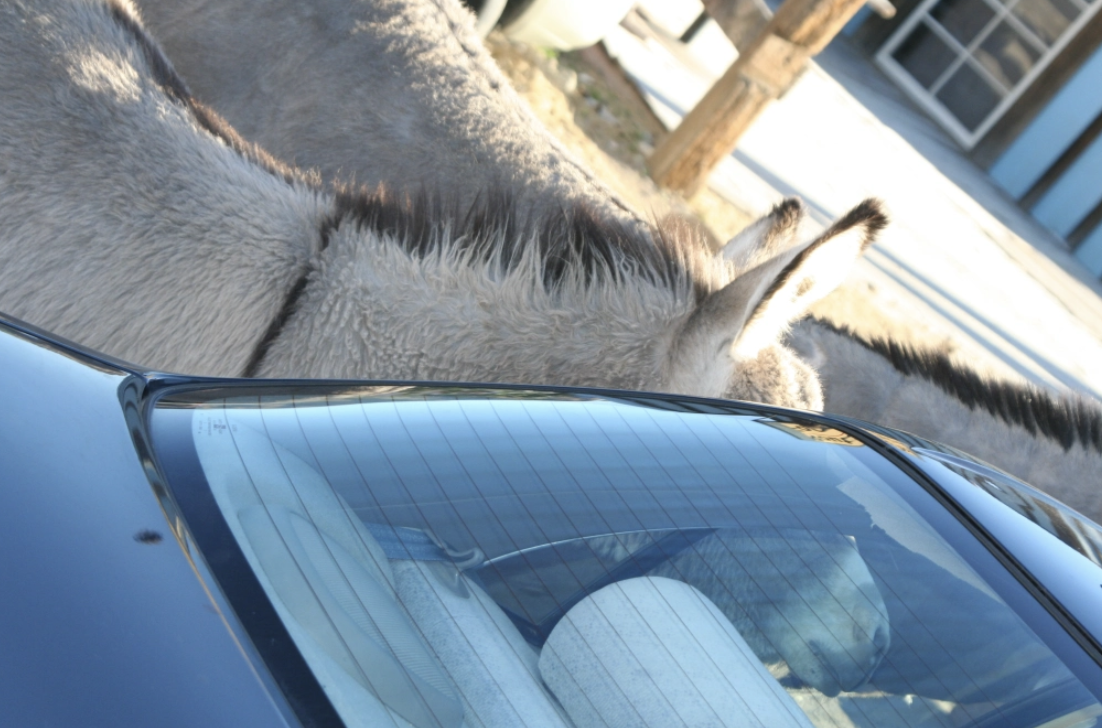
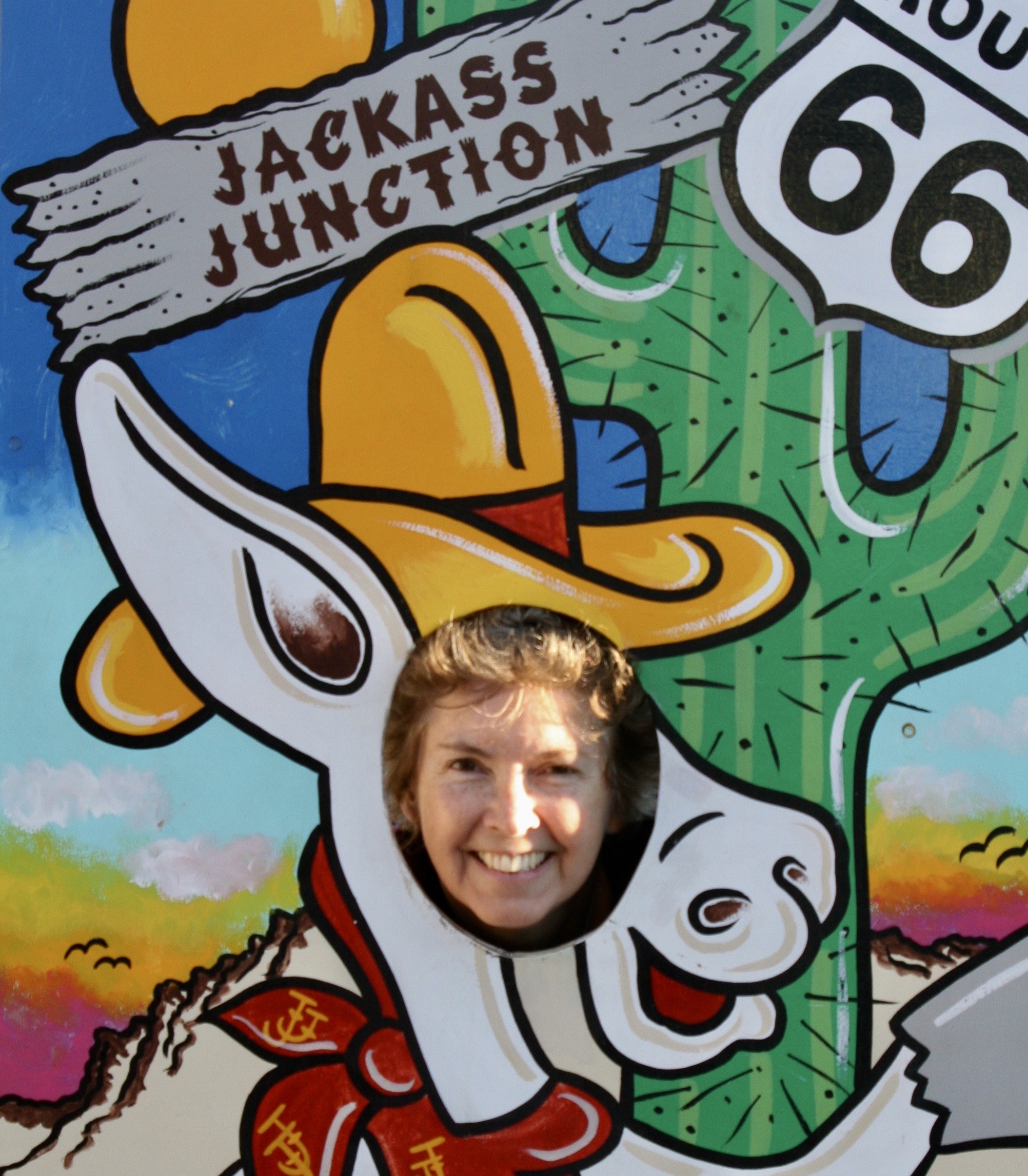
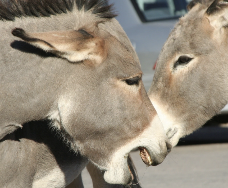
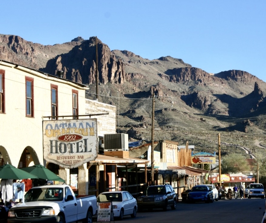
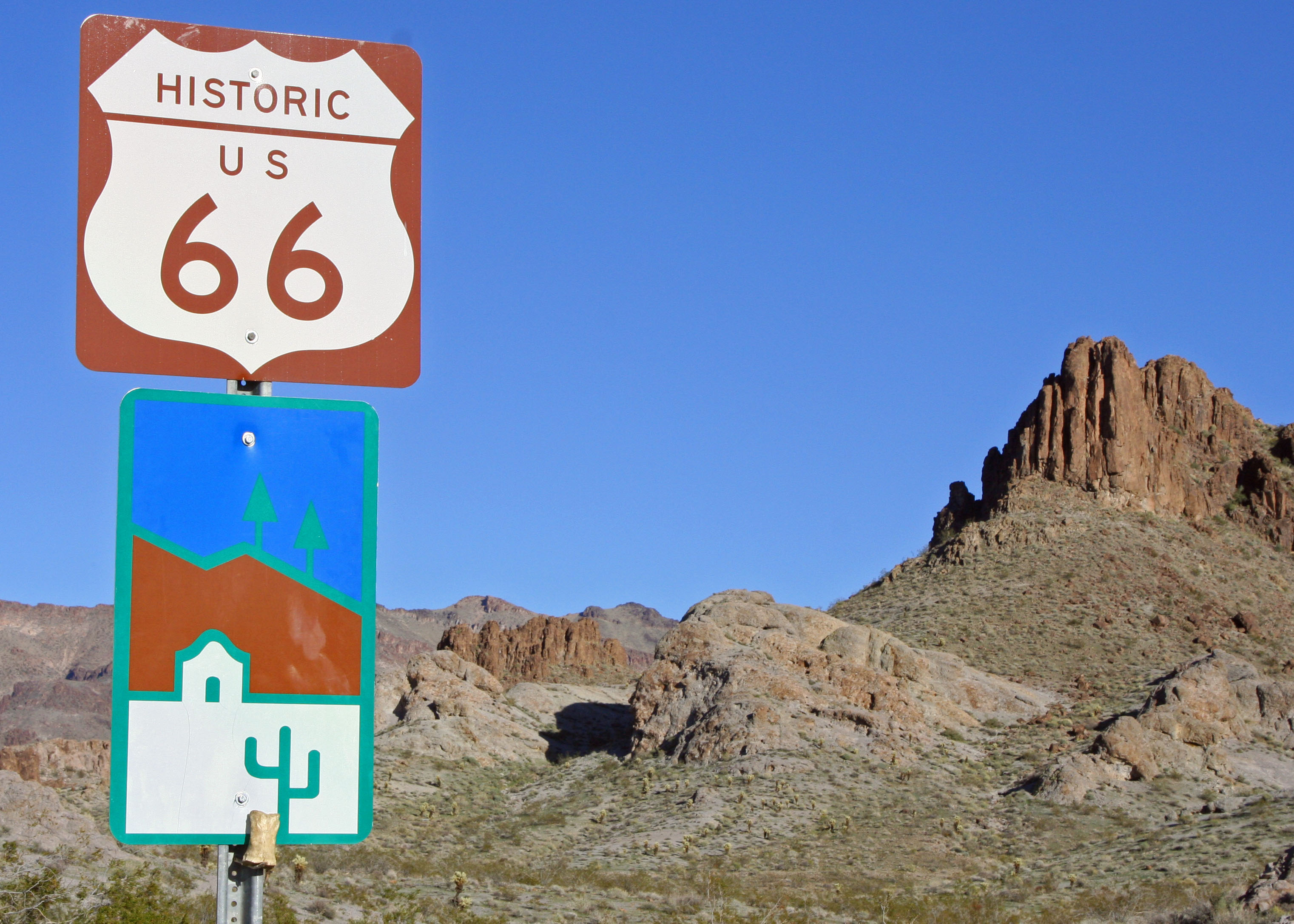
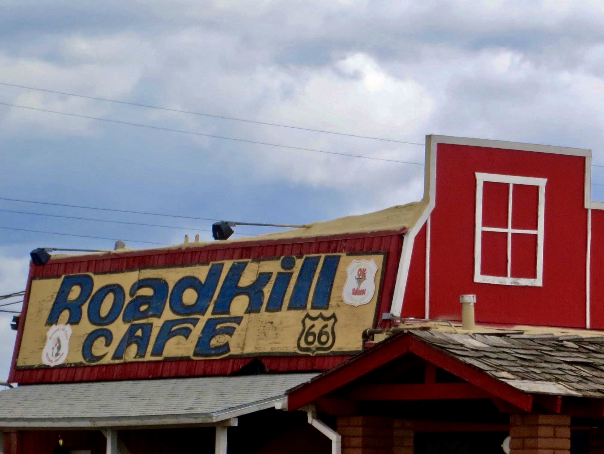
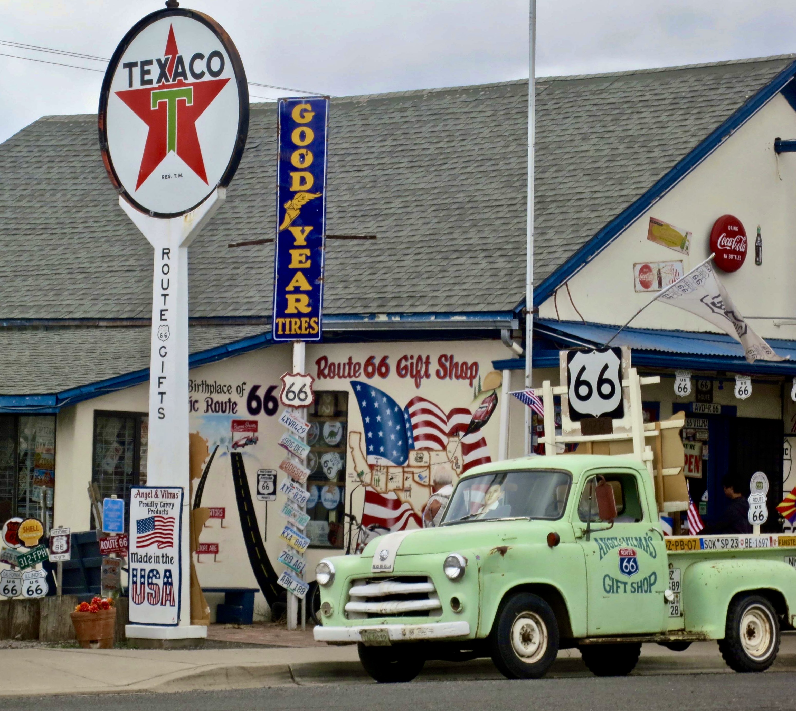
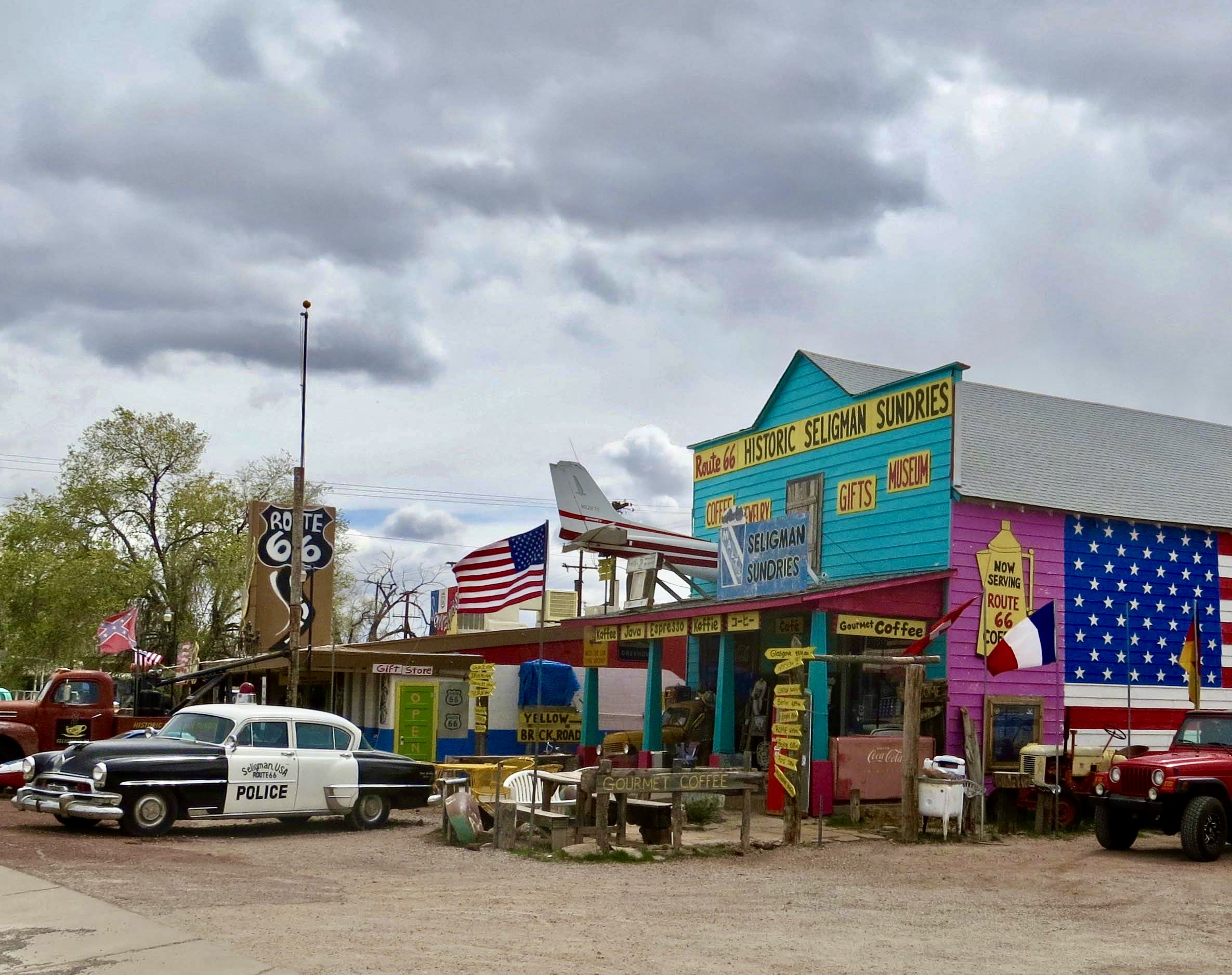
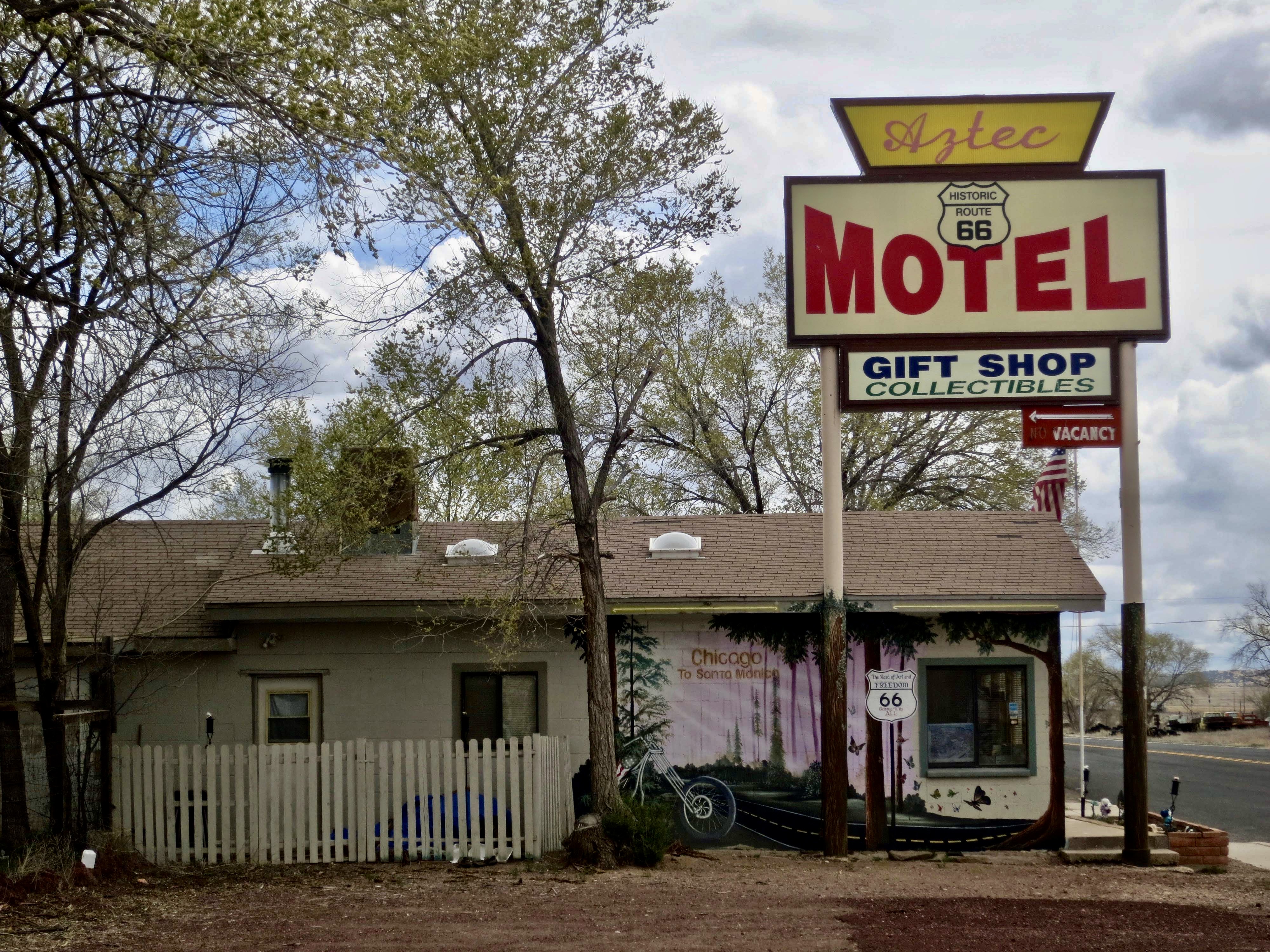
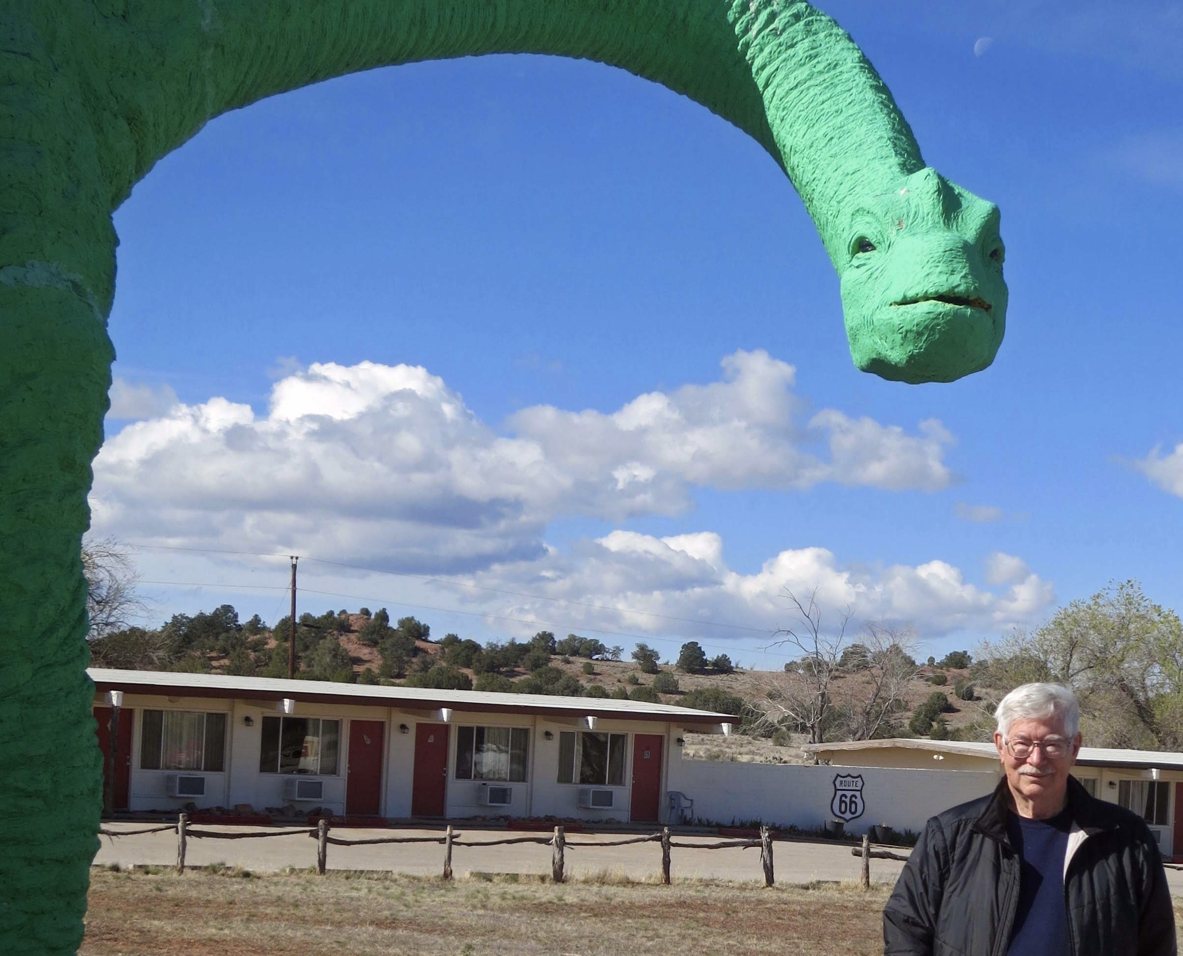
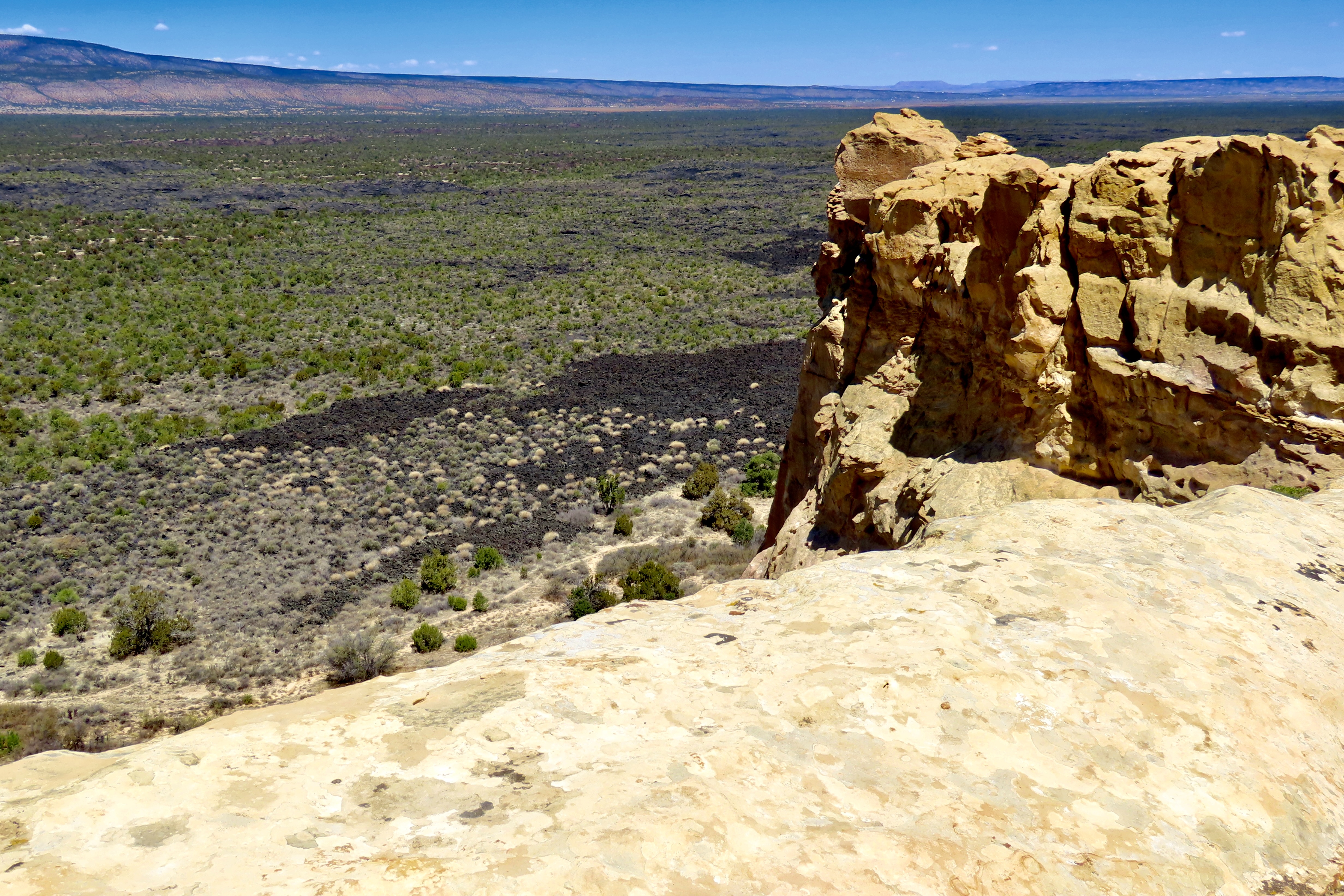
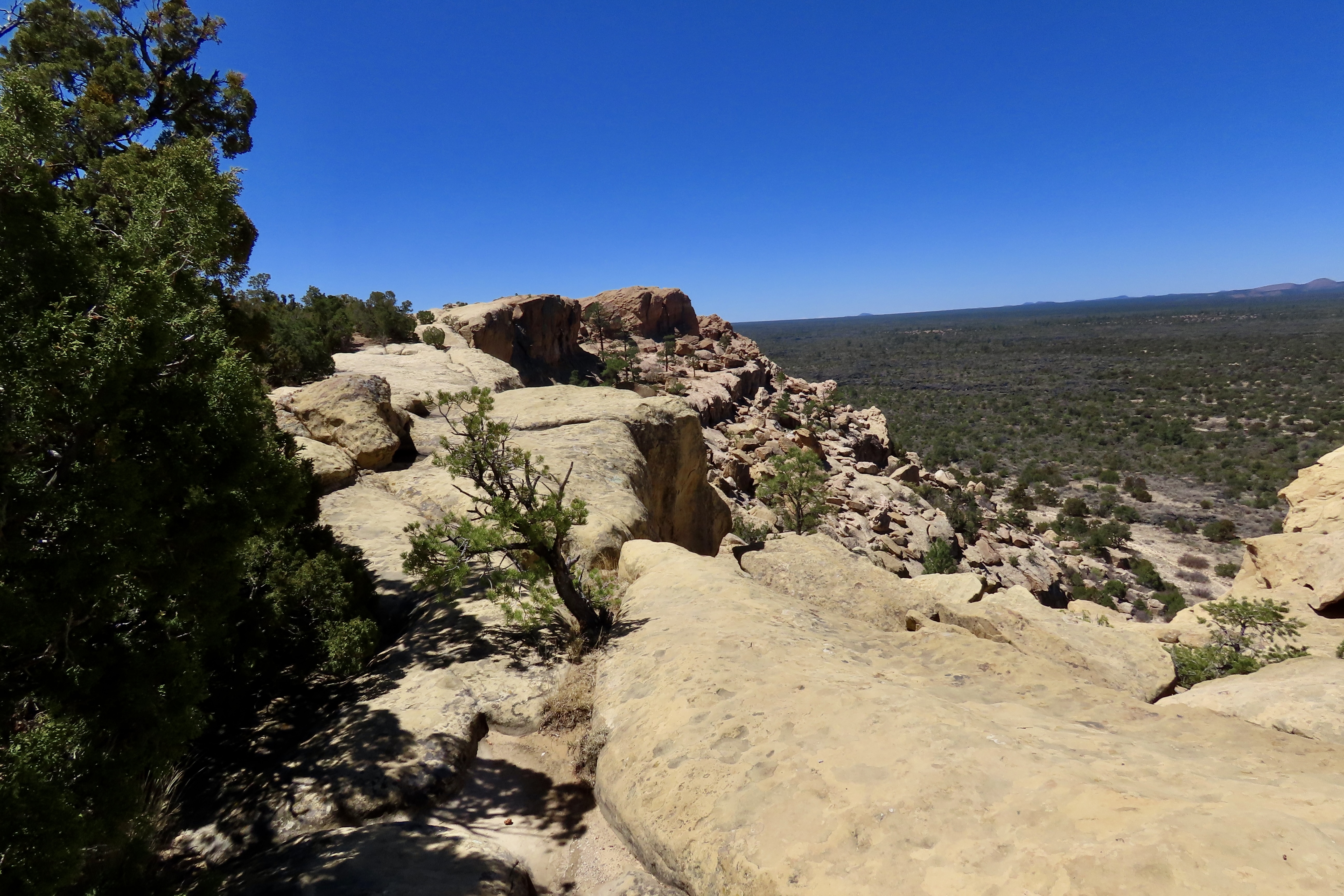
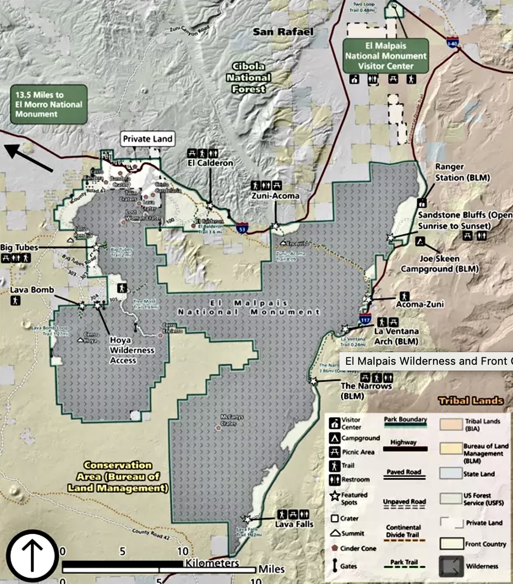
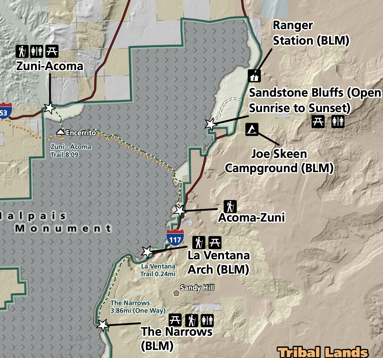
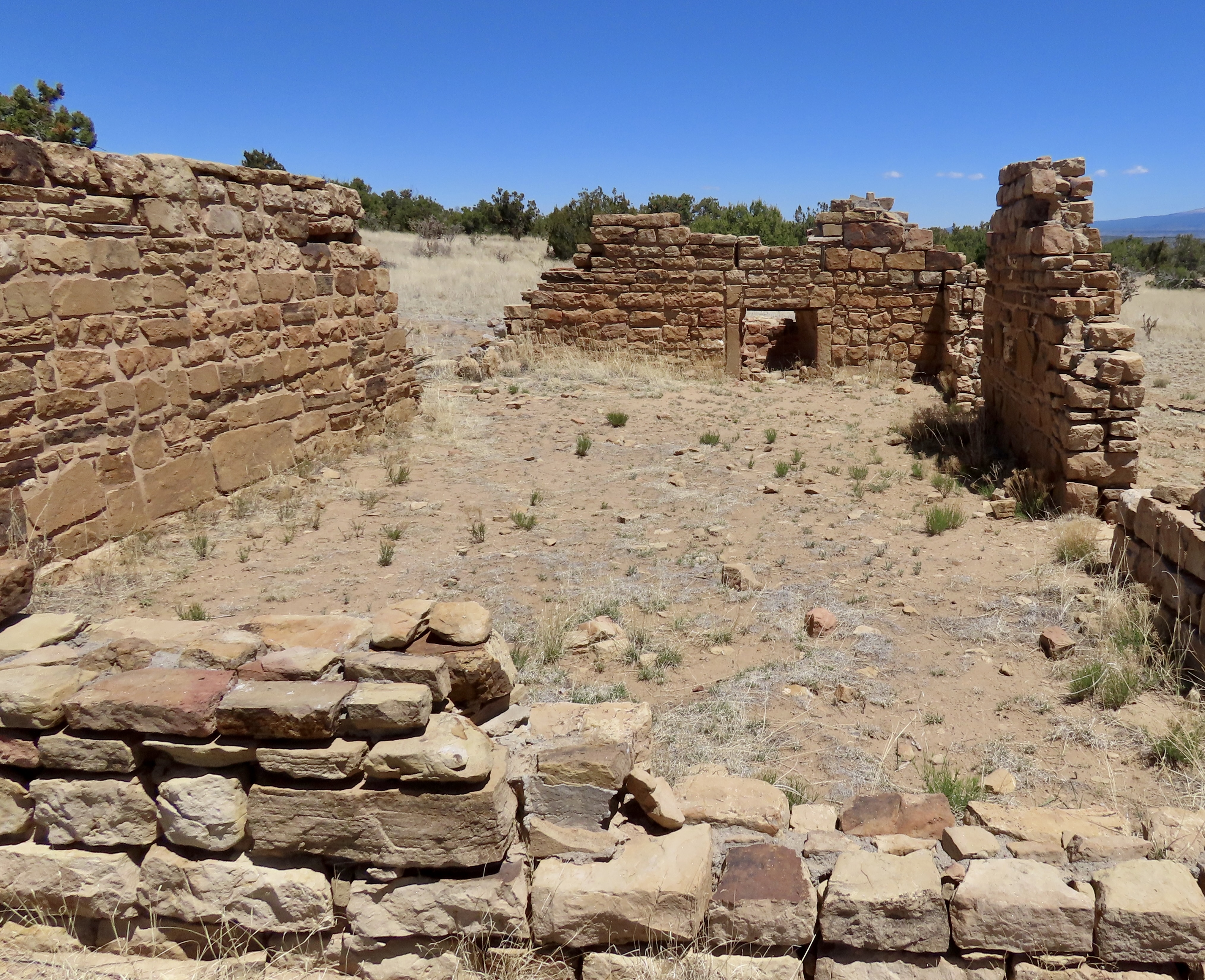
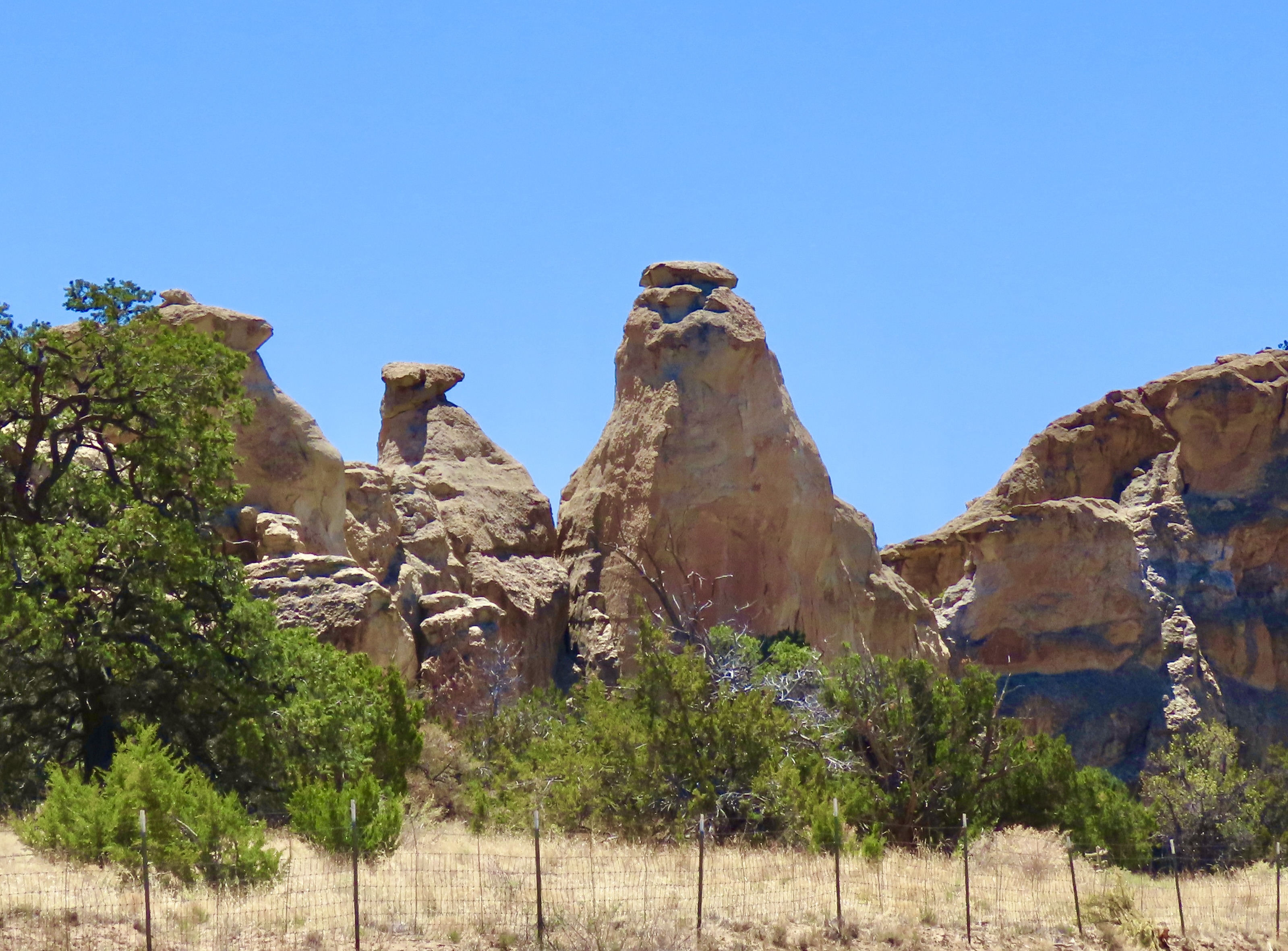
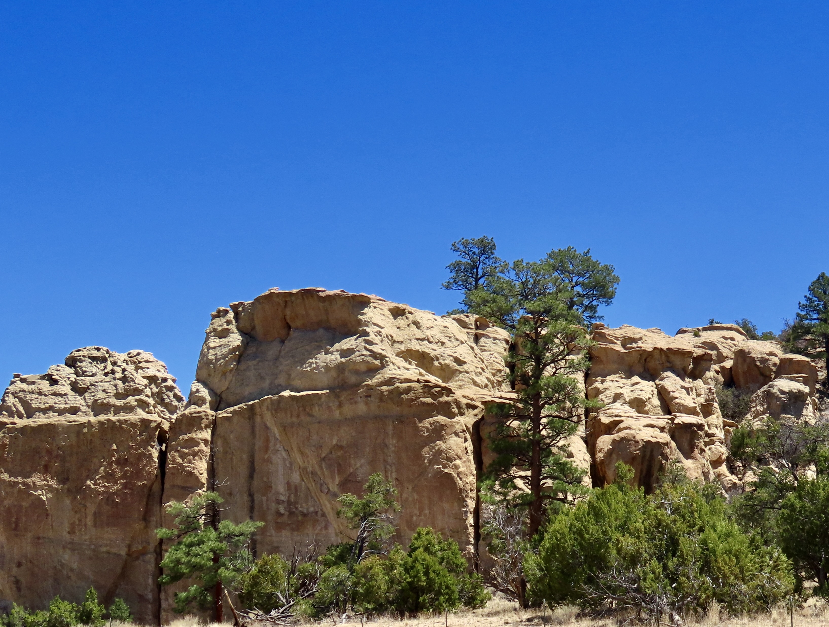
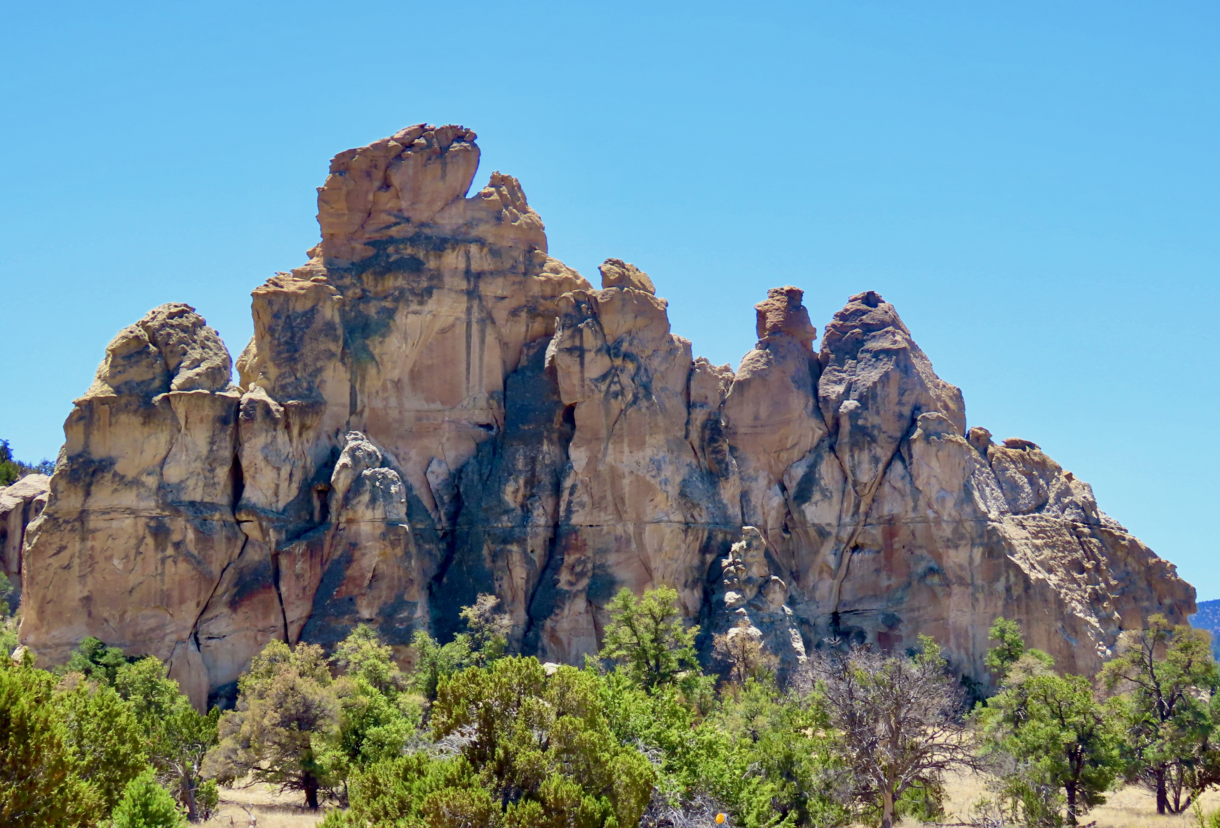
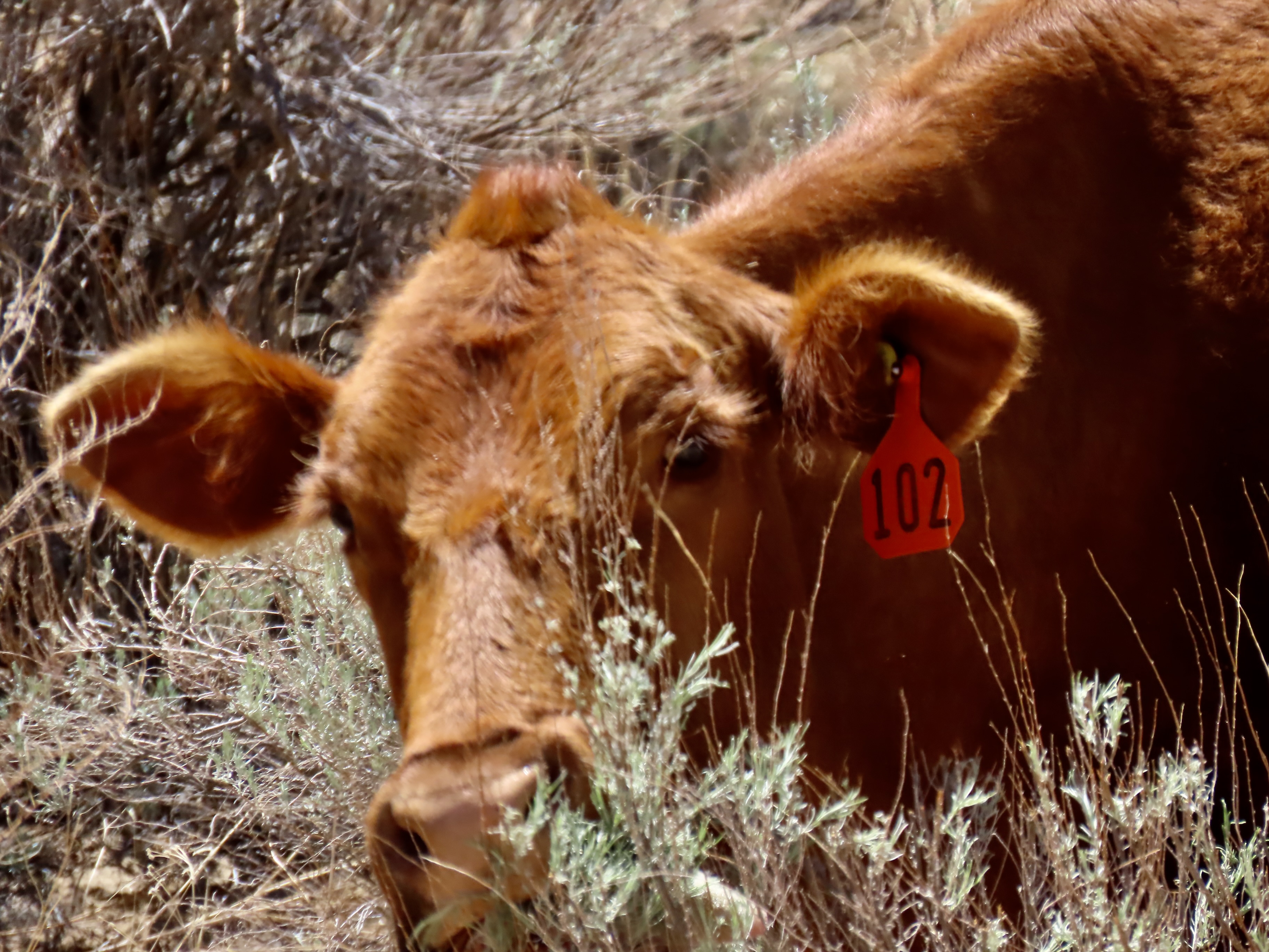
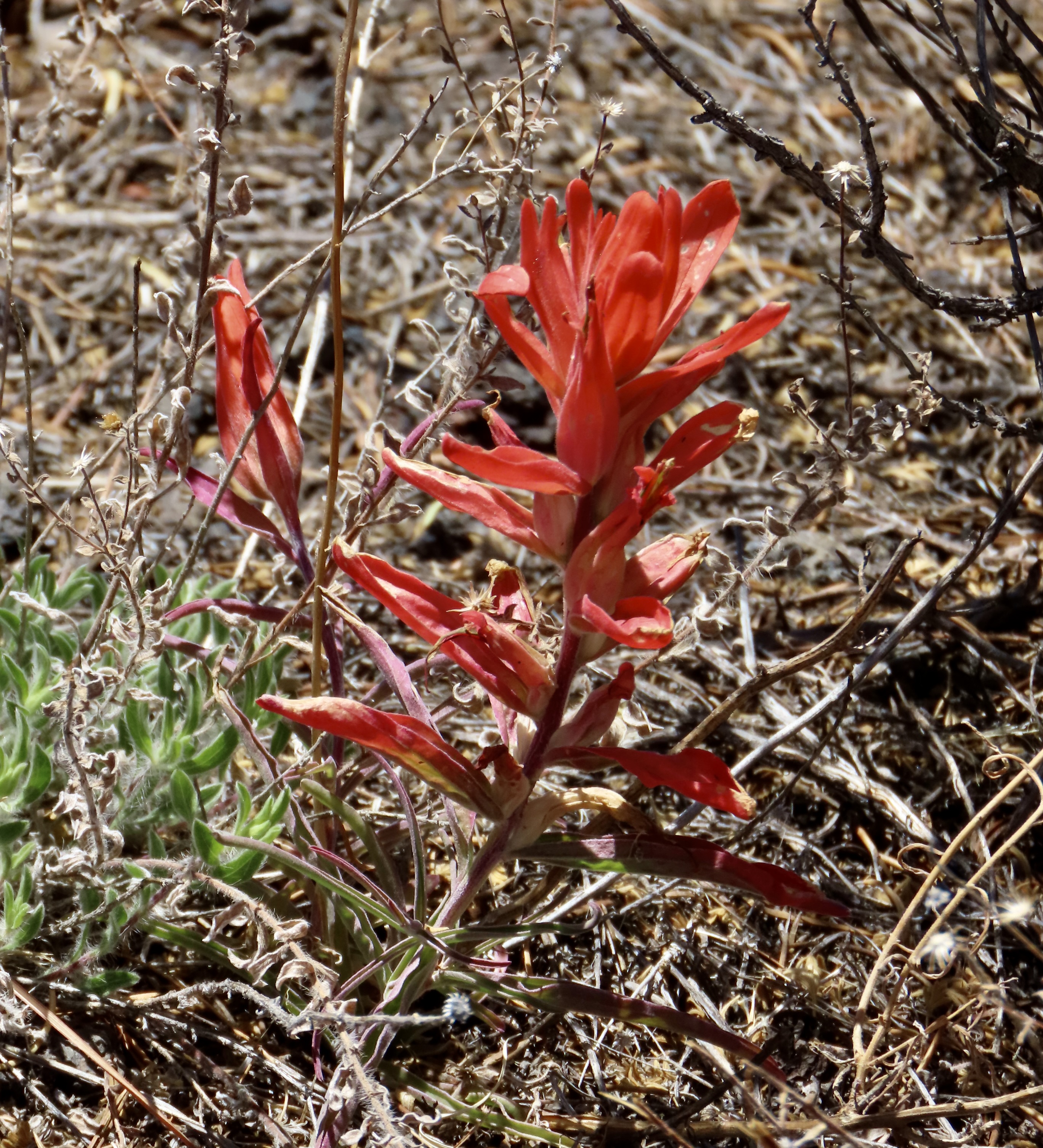
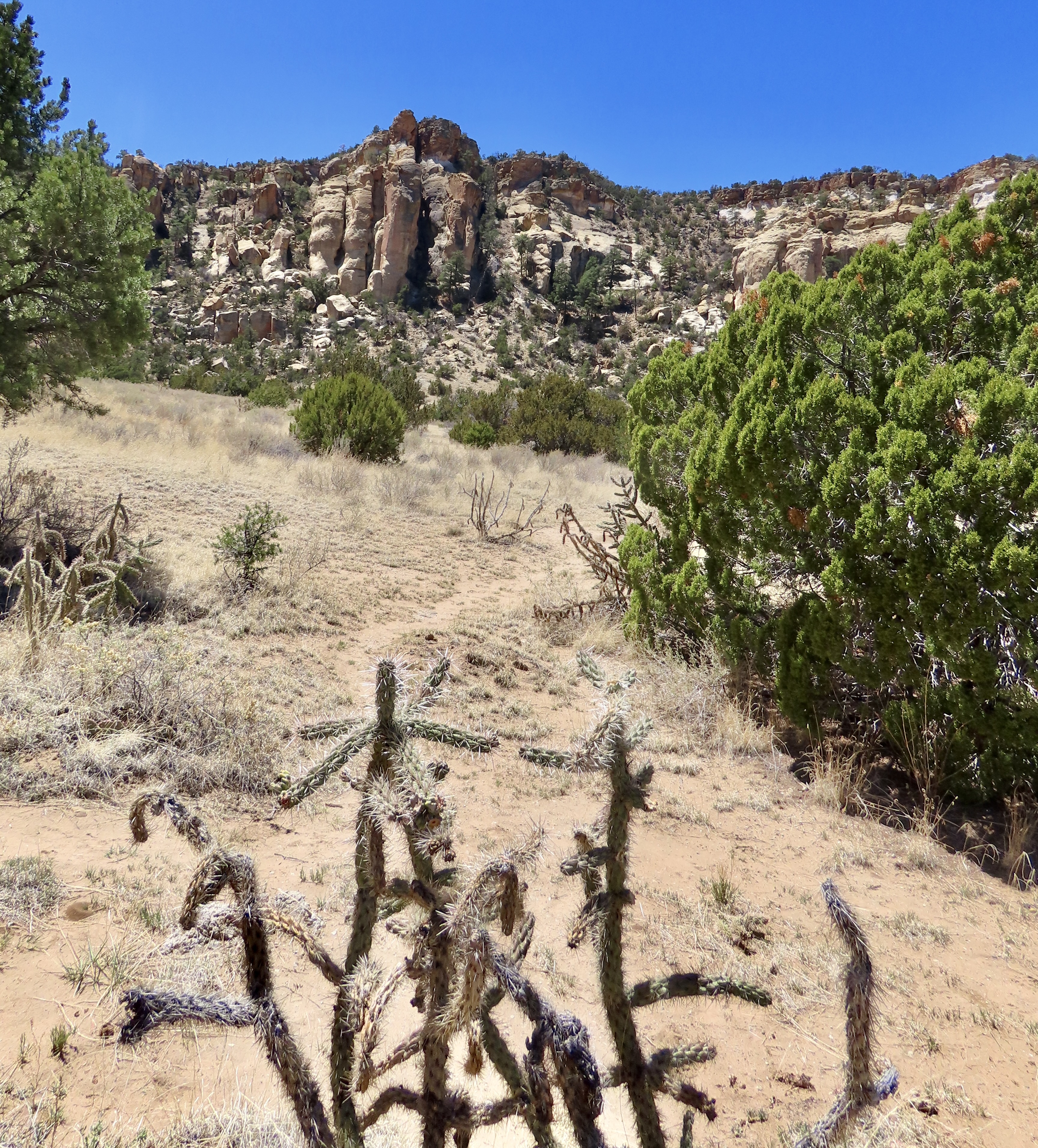
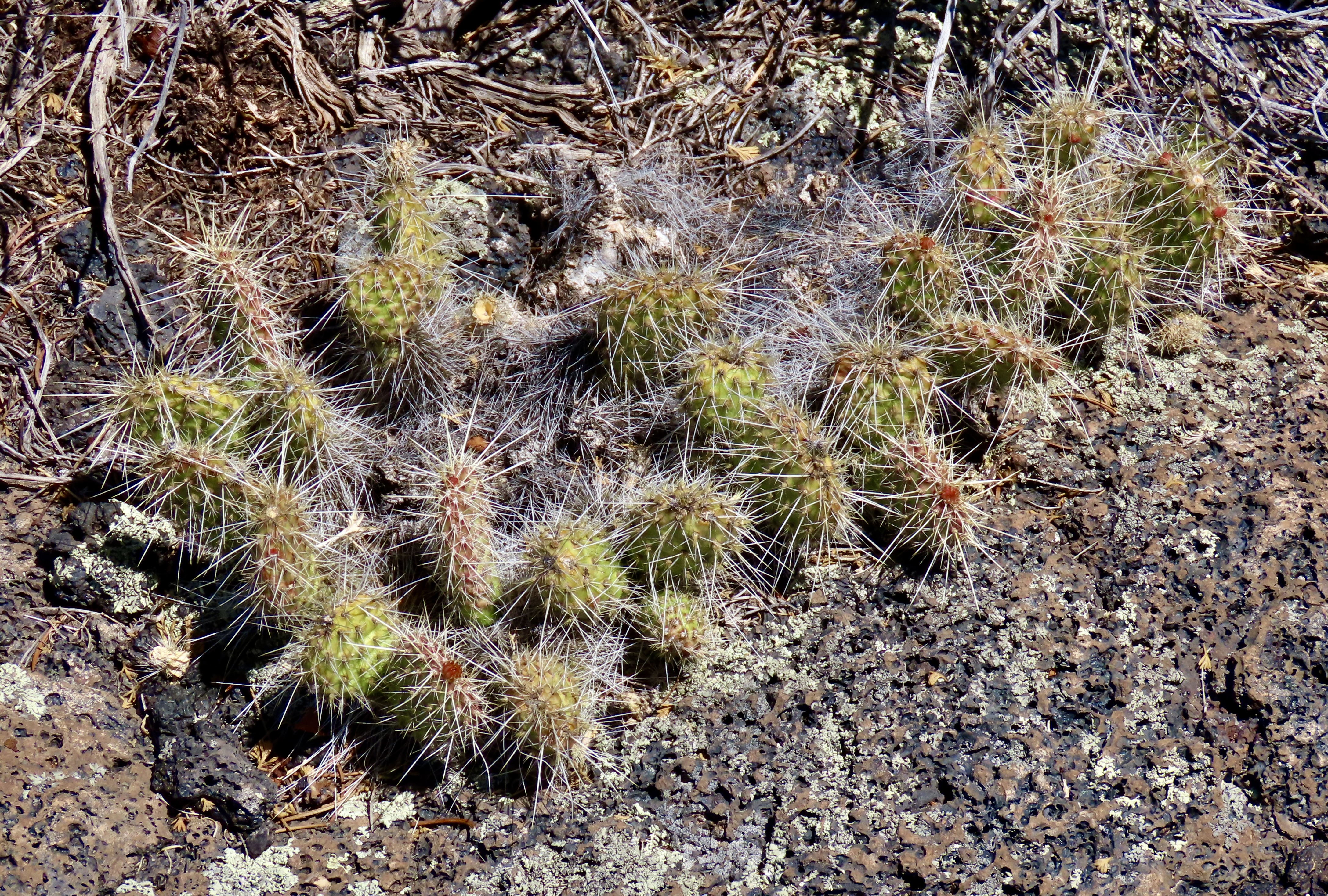
On our recent trip to the Southwest, we camped in six different locations along the historic highway: Kingman, Ash Fork, and Holbrook in Arizona, Grants and Albuquerque in New Mexico, and Adrian in the Panhandle of Texas. I’ll be incorporating some of them in the next two posts plus other visits we have made to the area over the years.


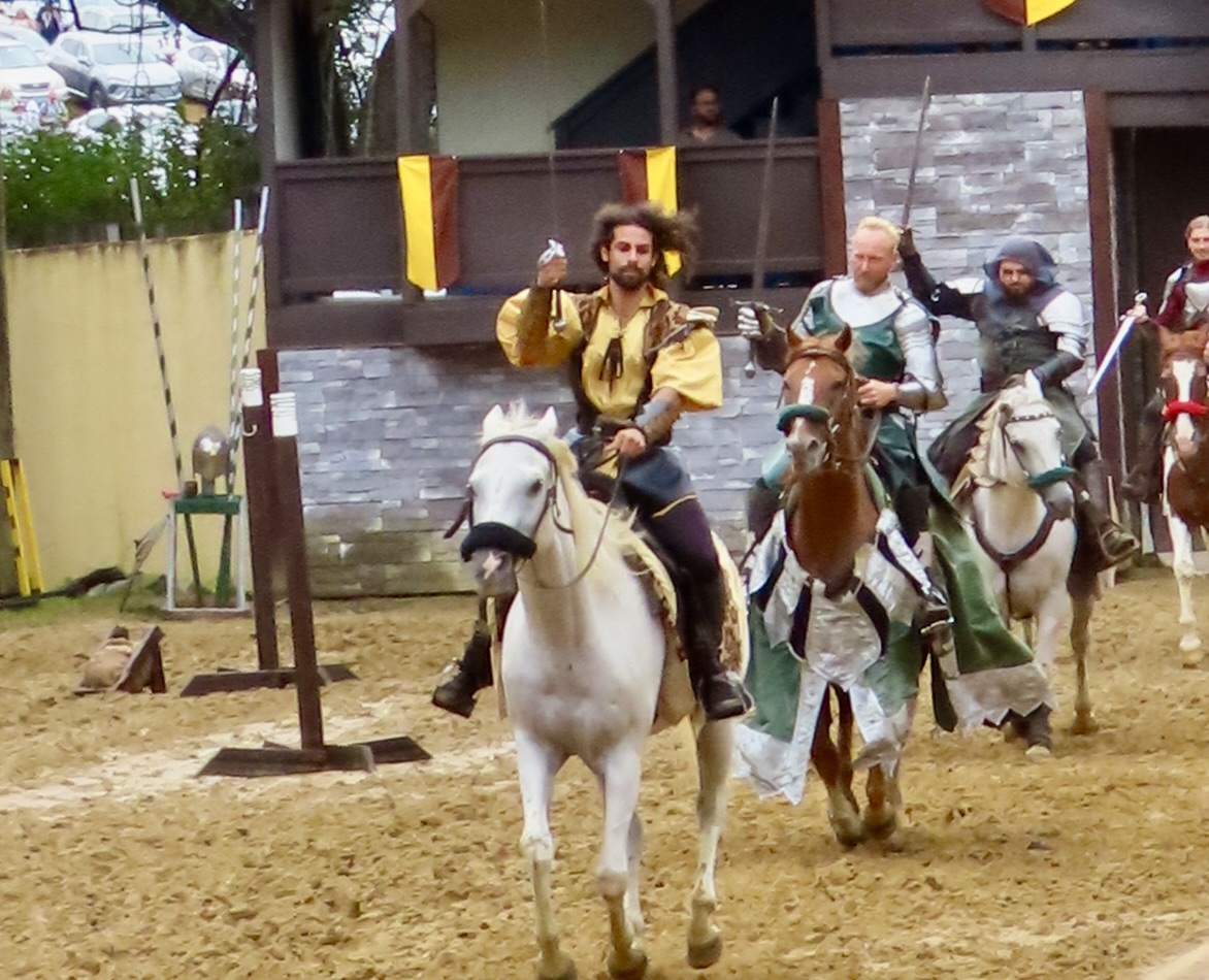
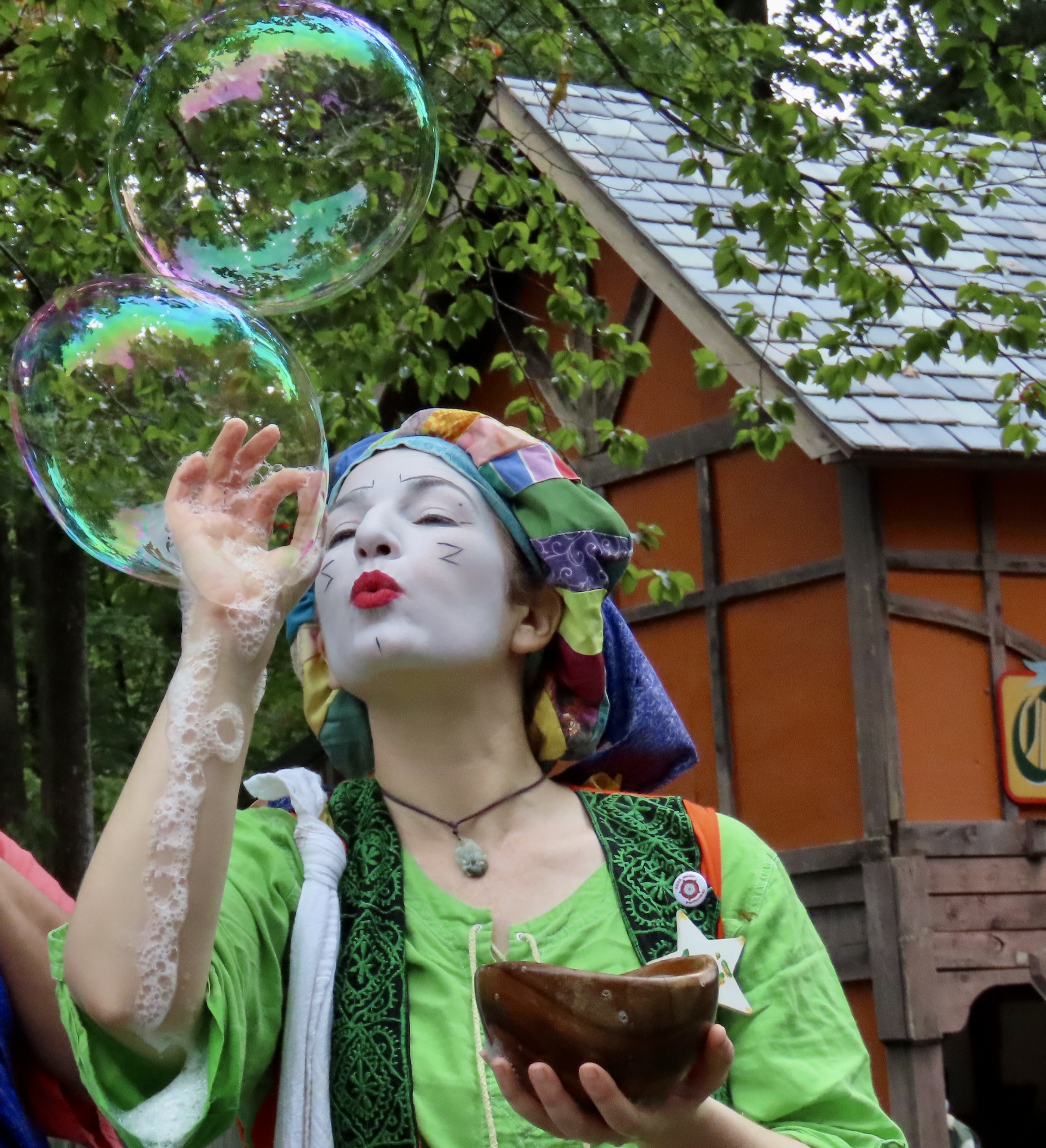
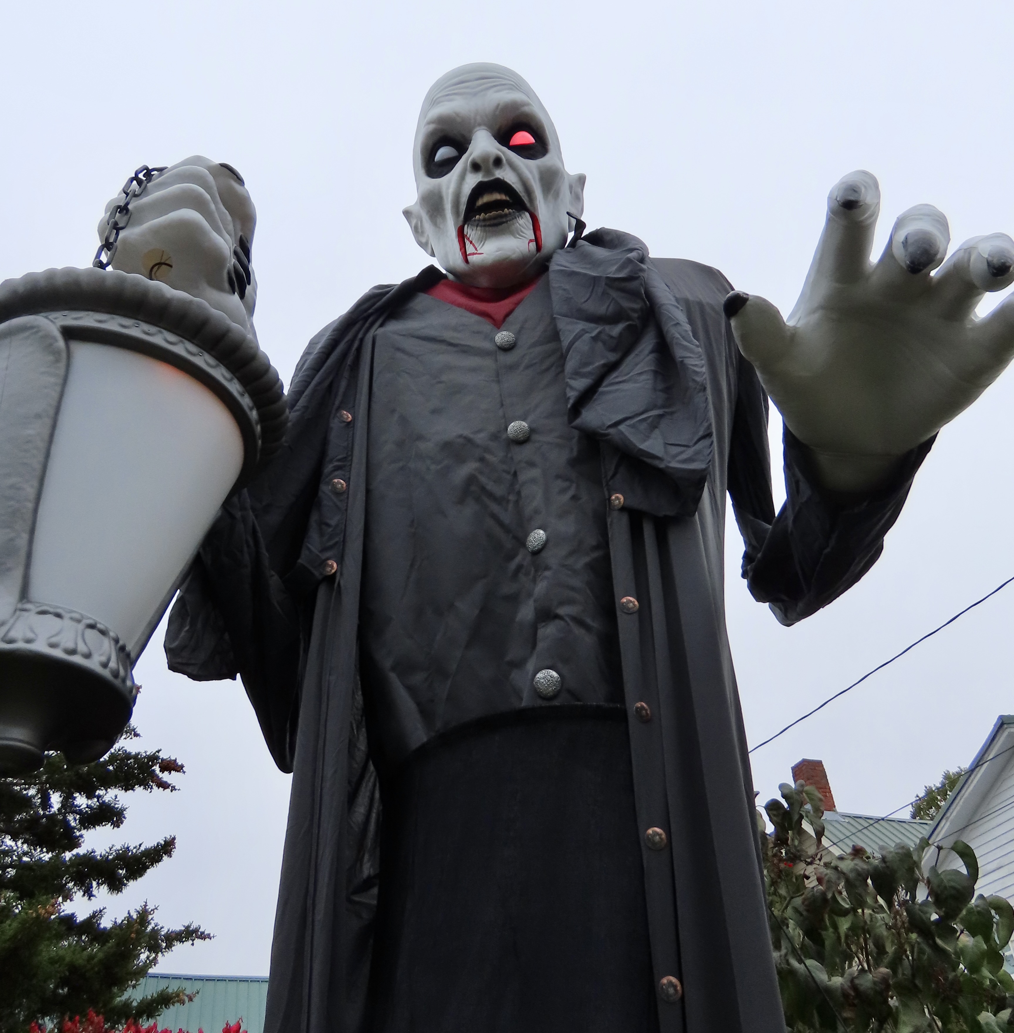
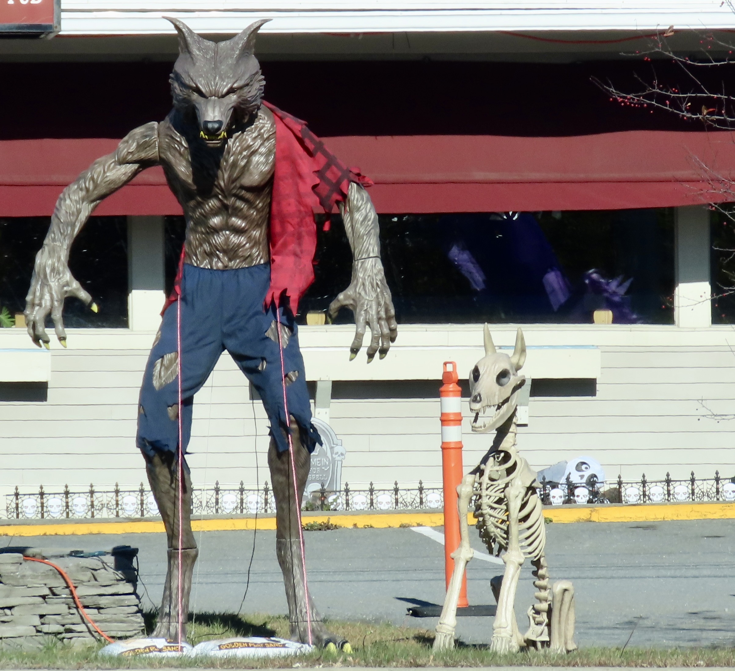
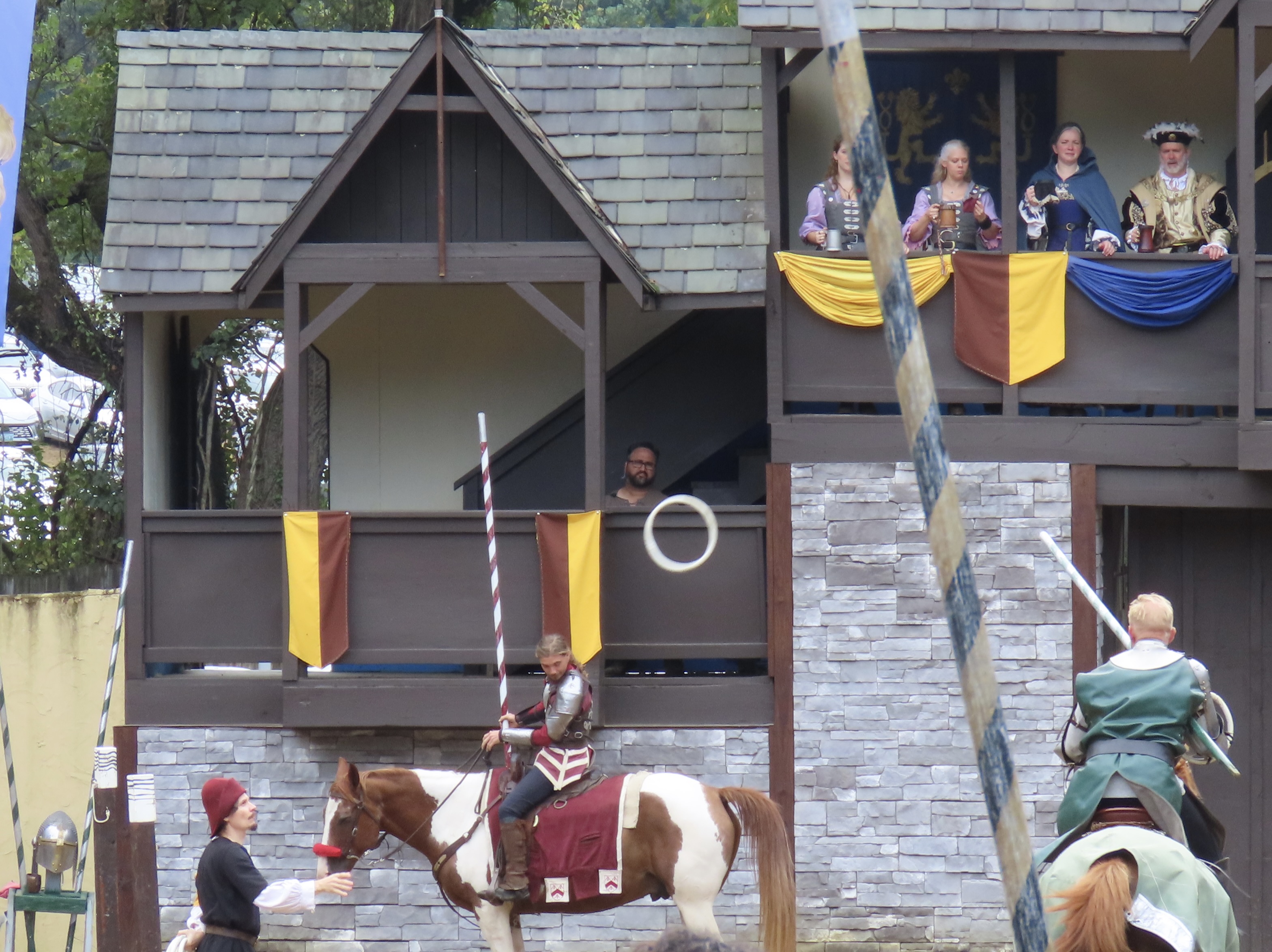
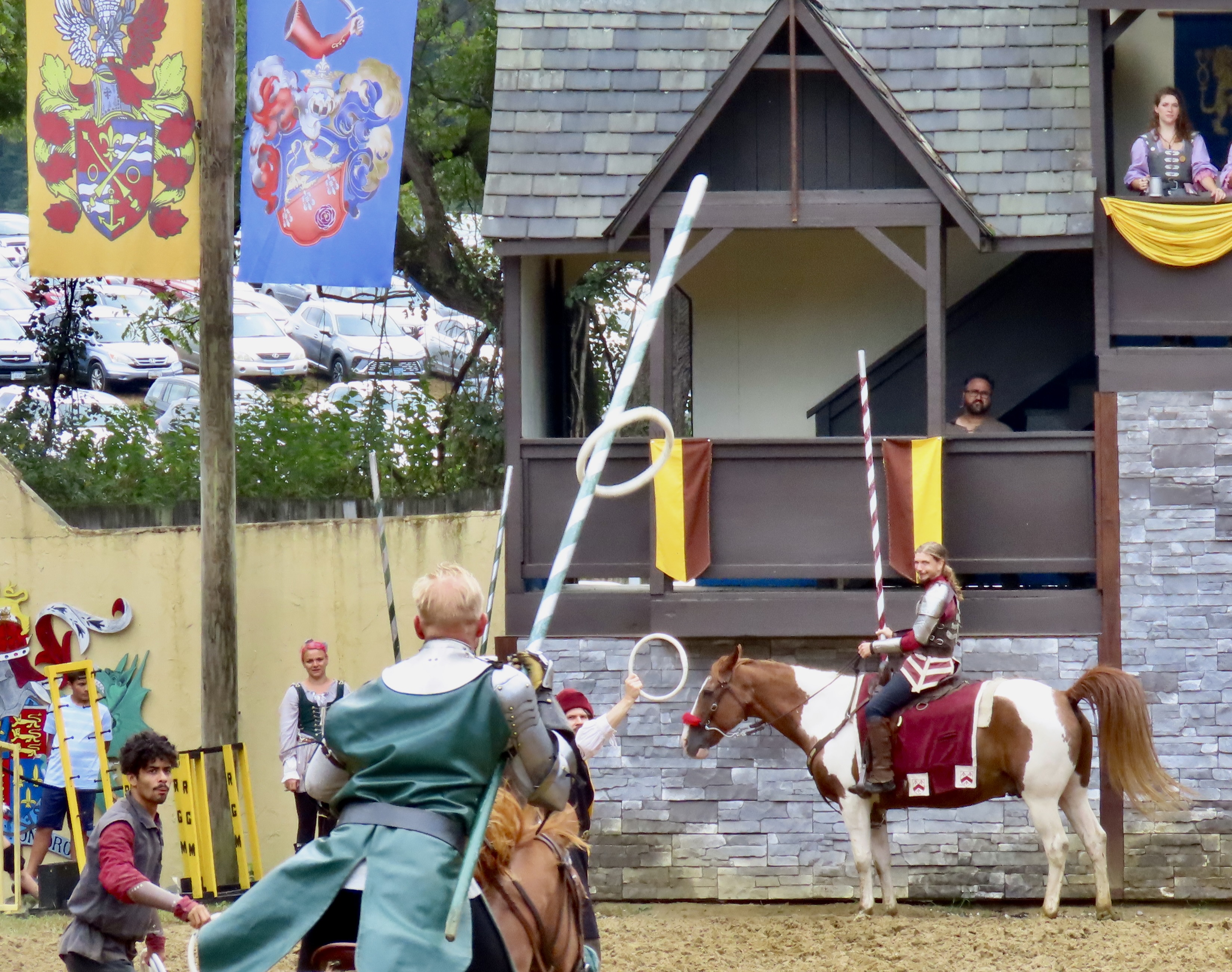
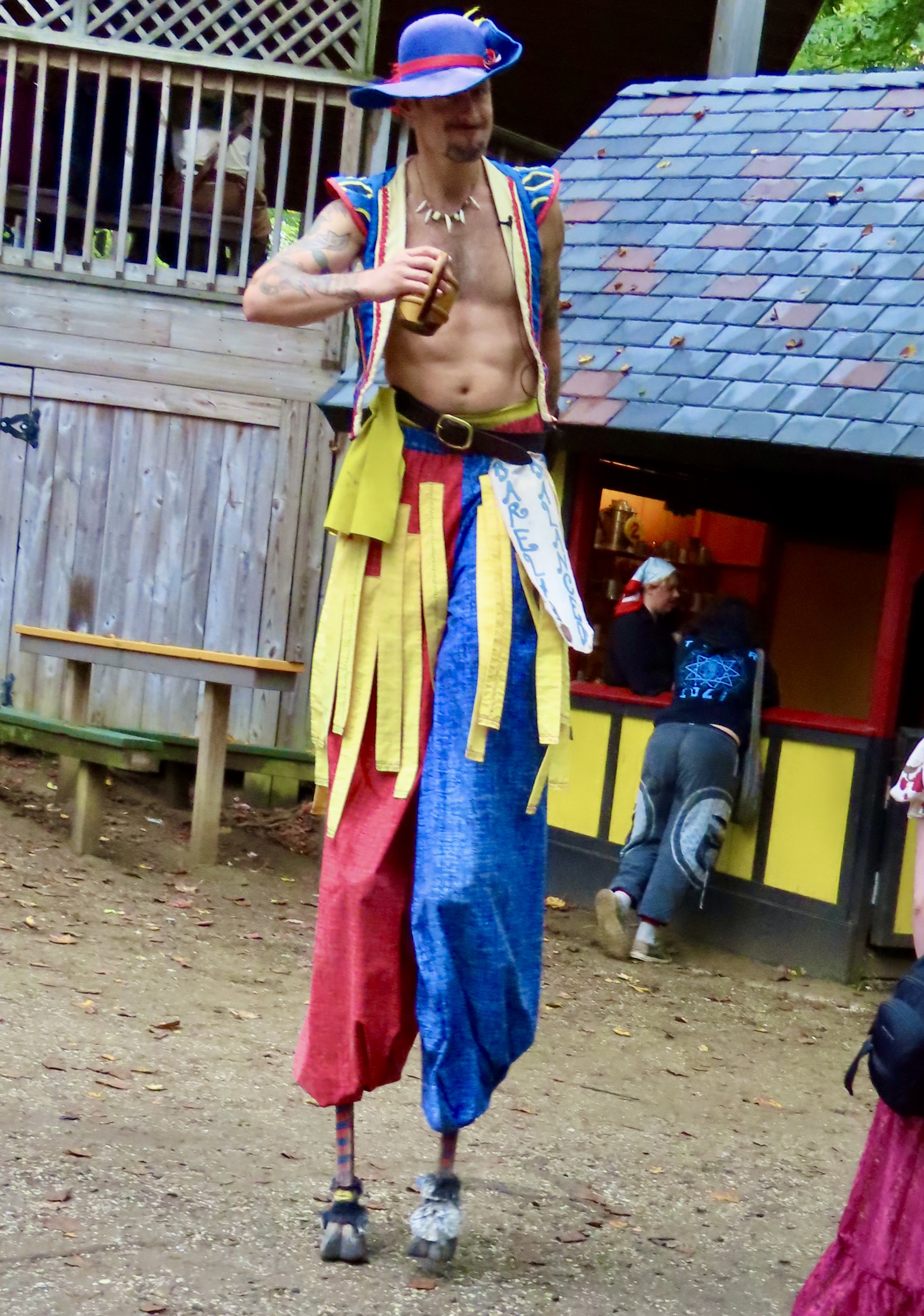
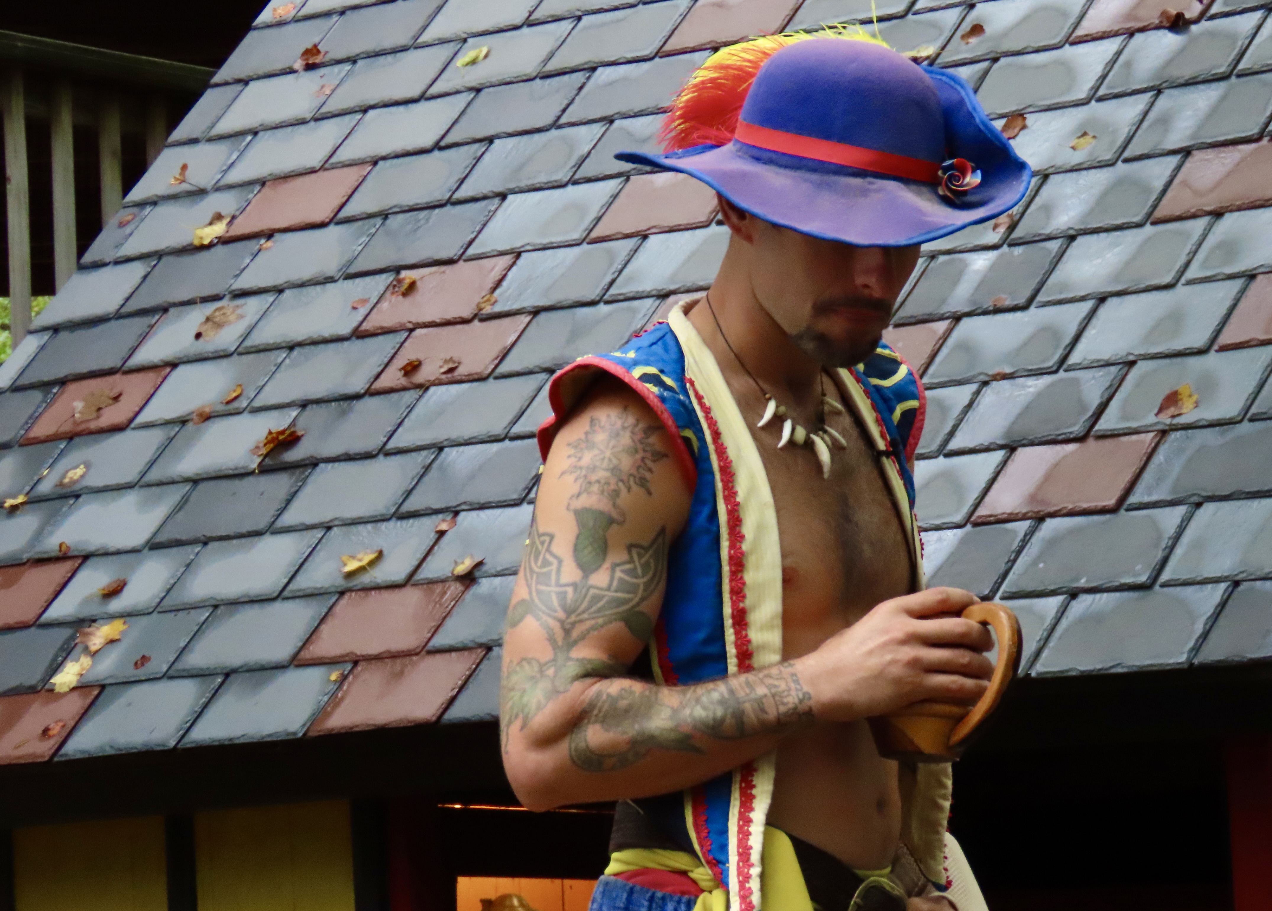
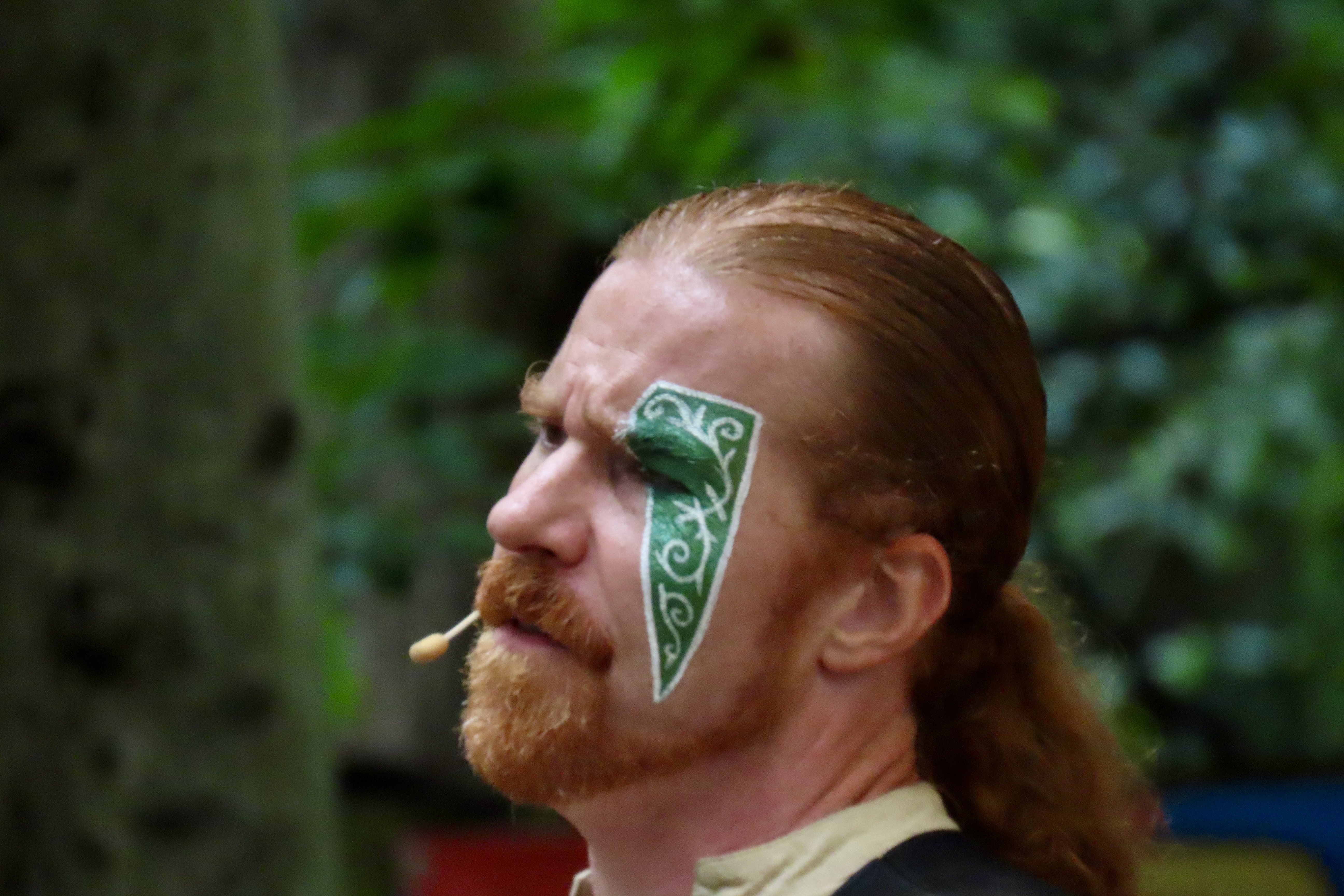
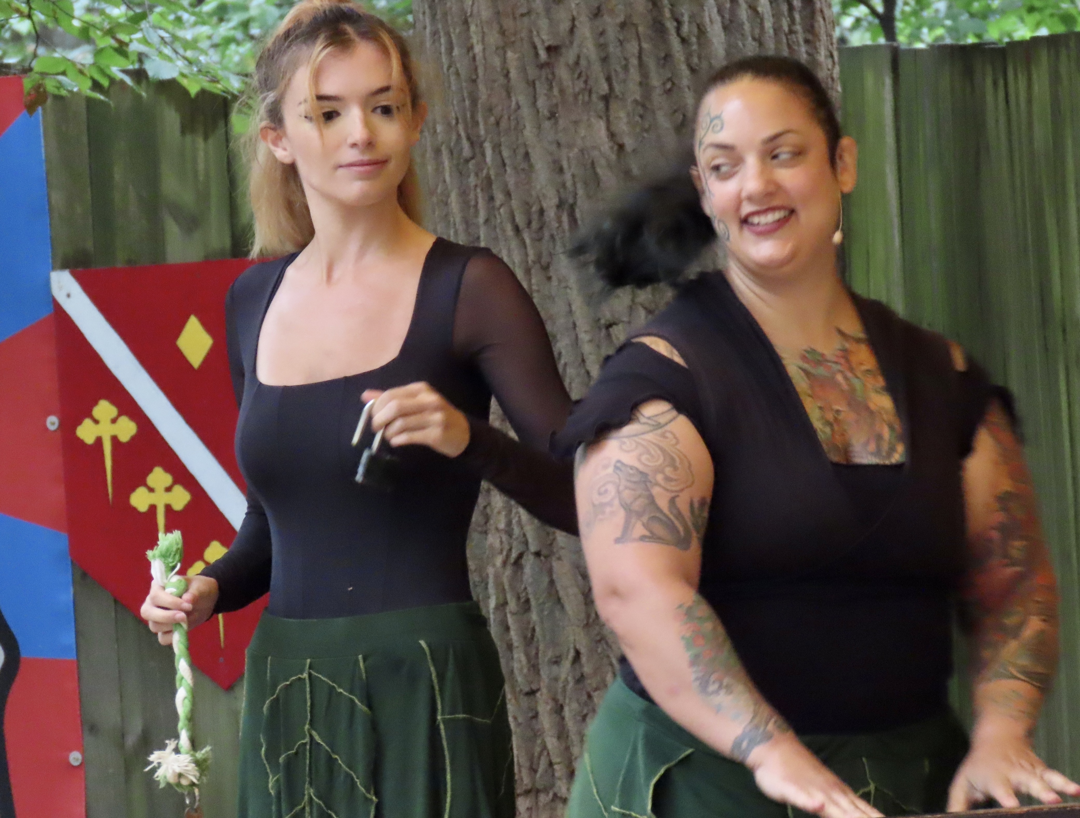
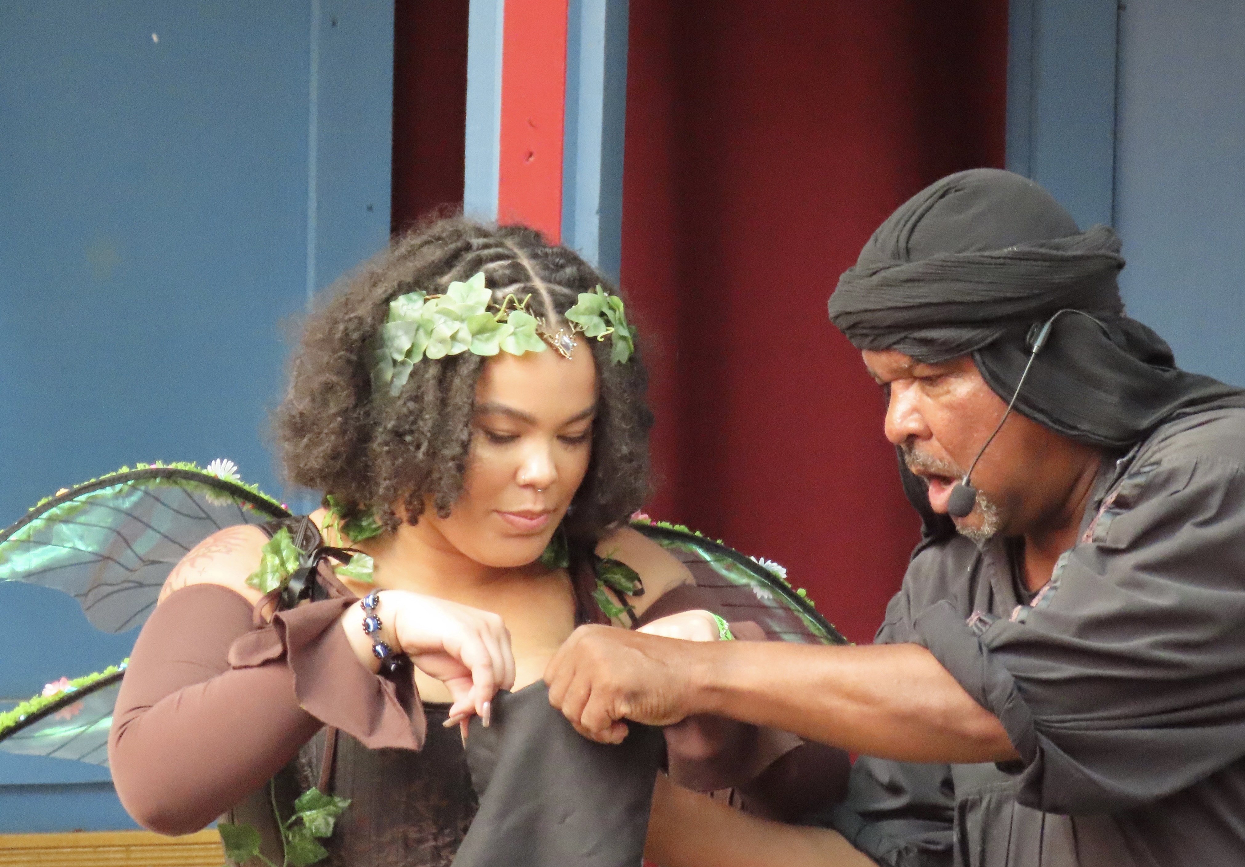
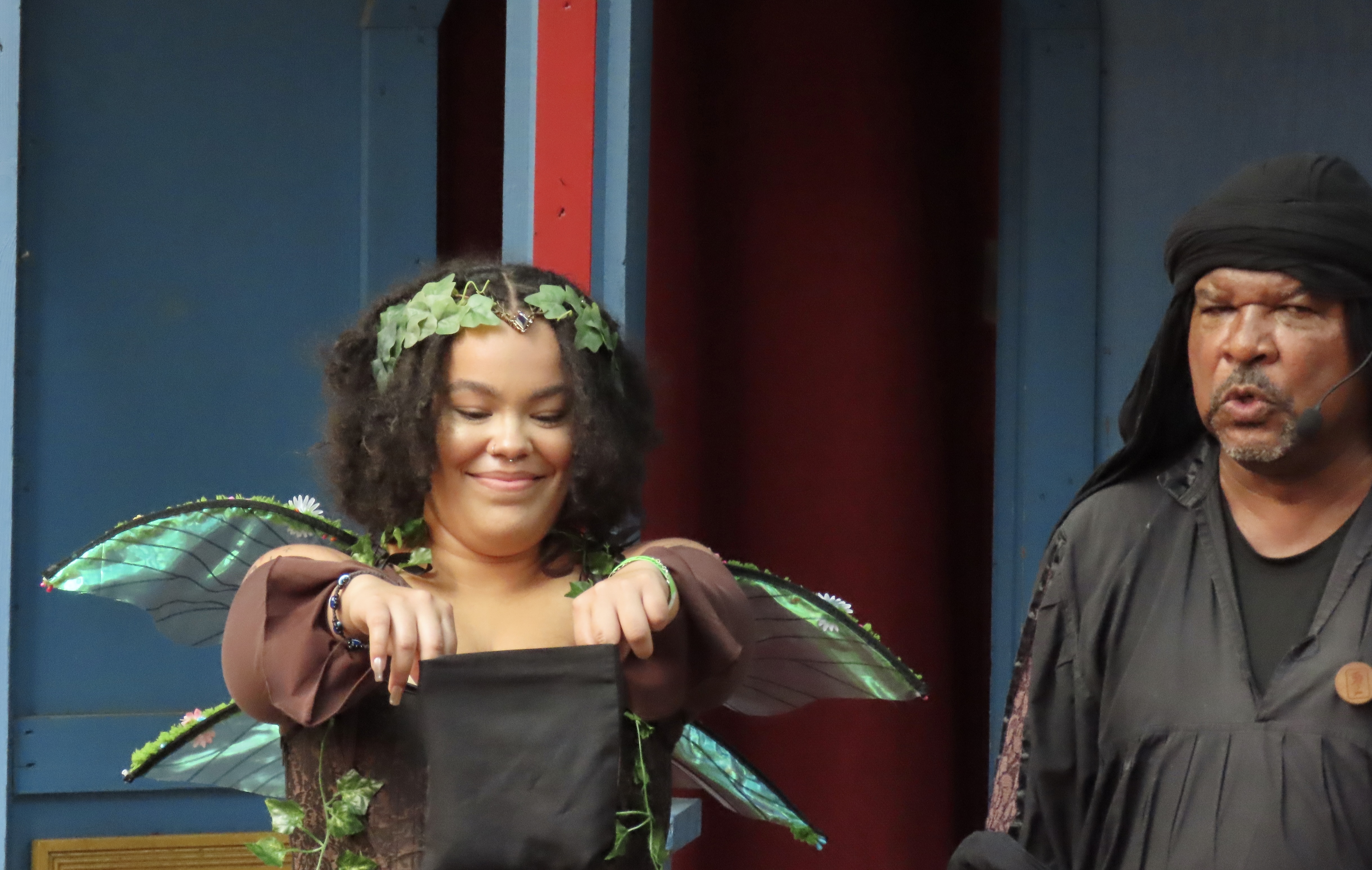
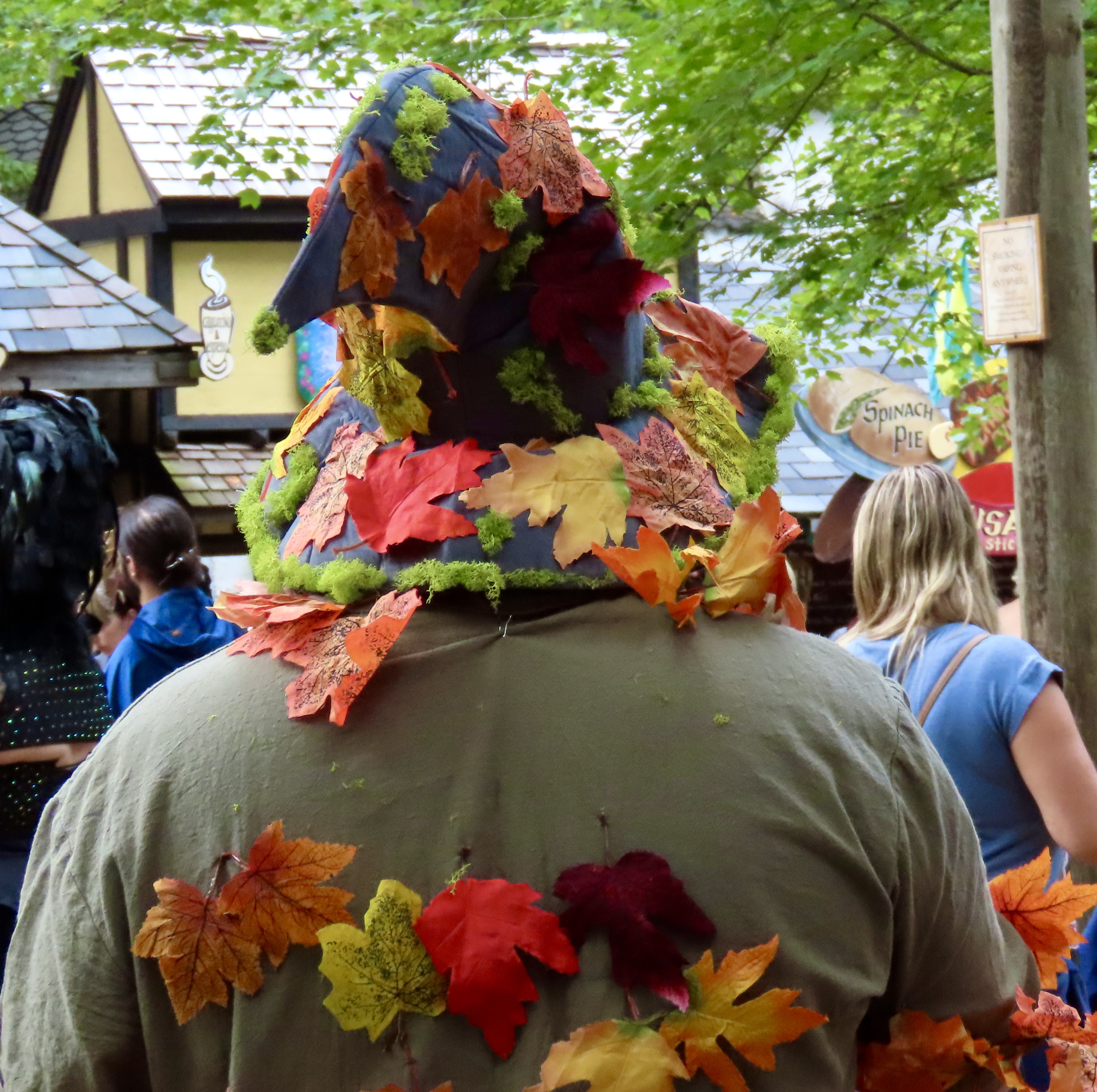
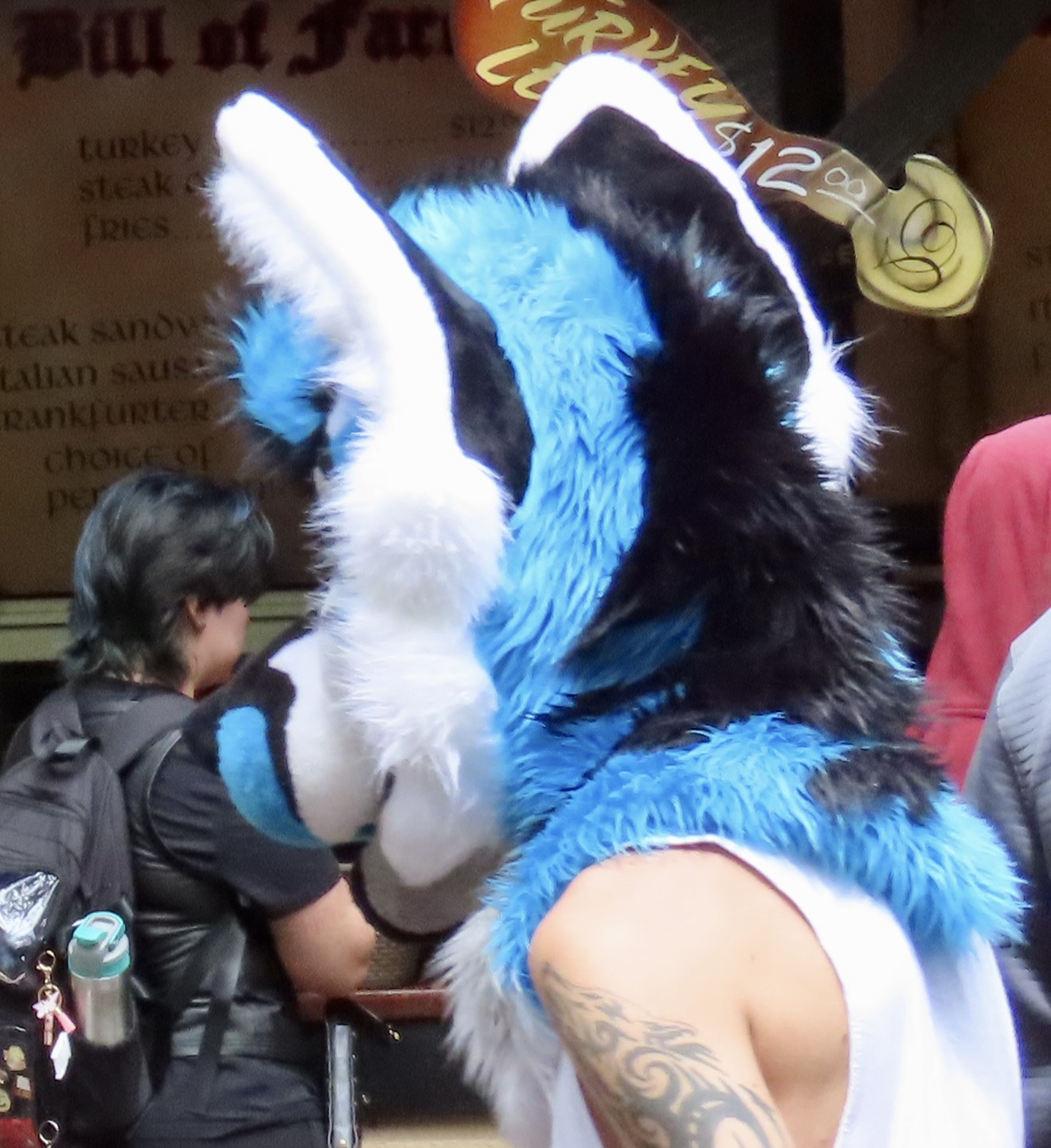
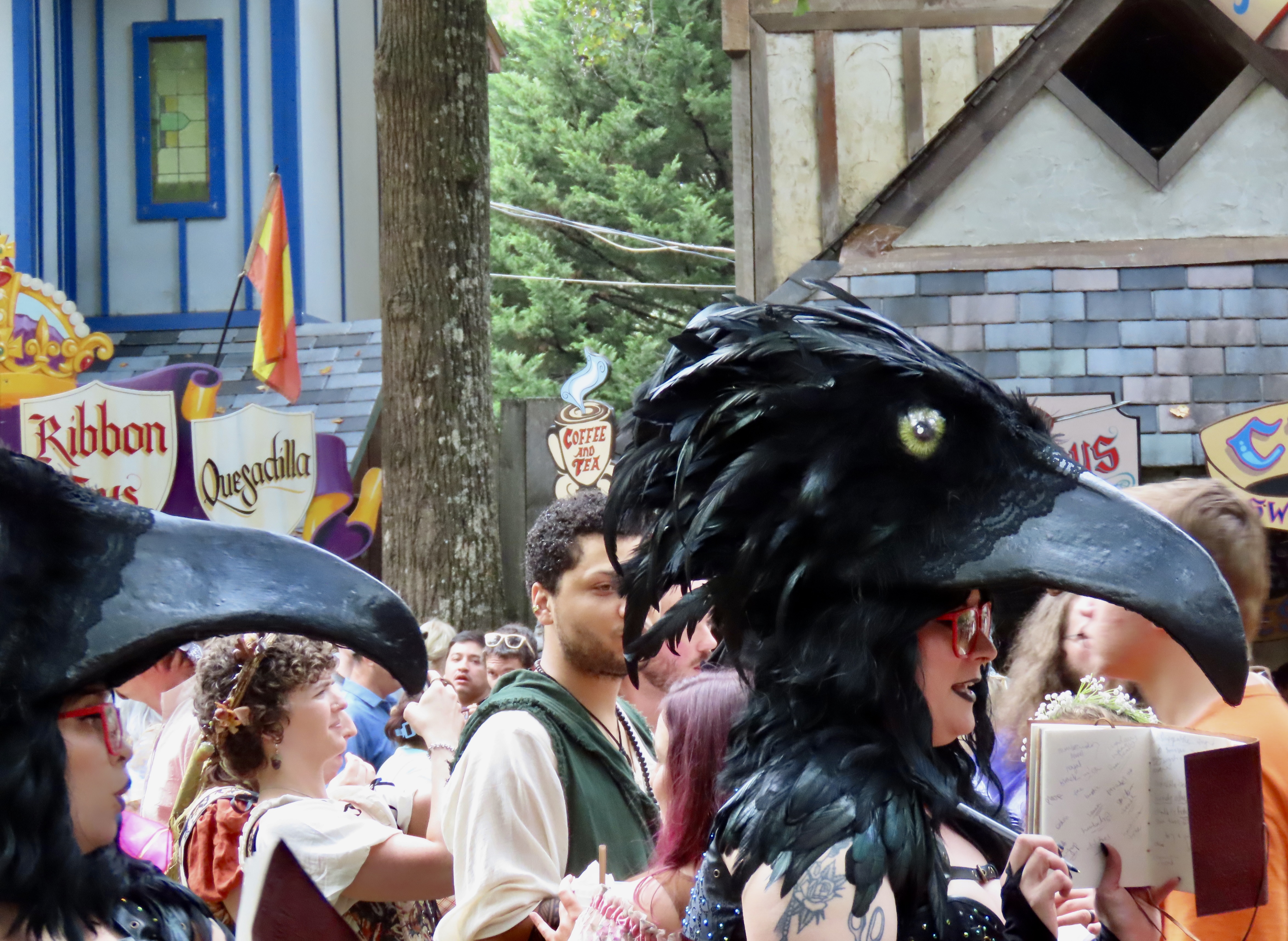
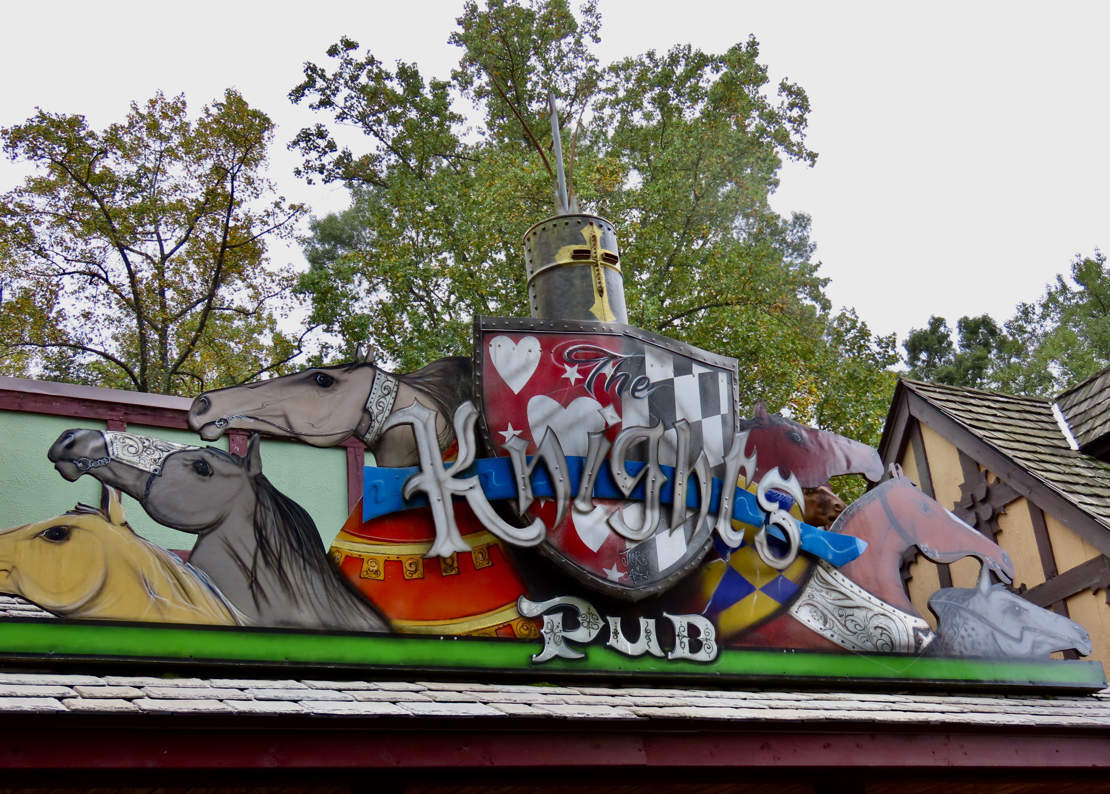
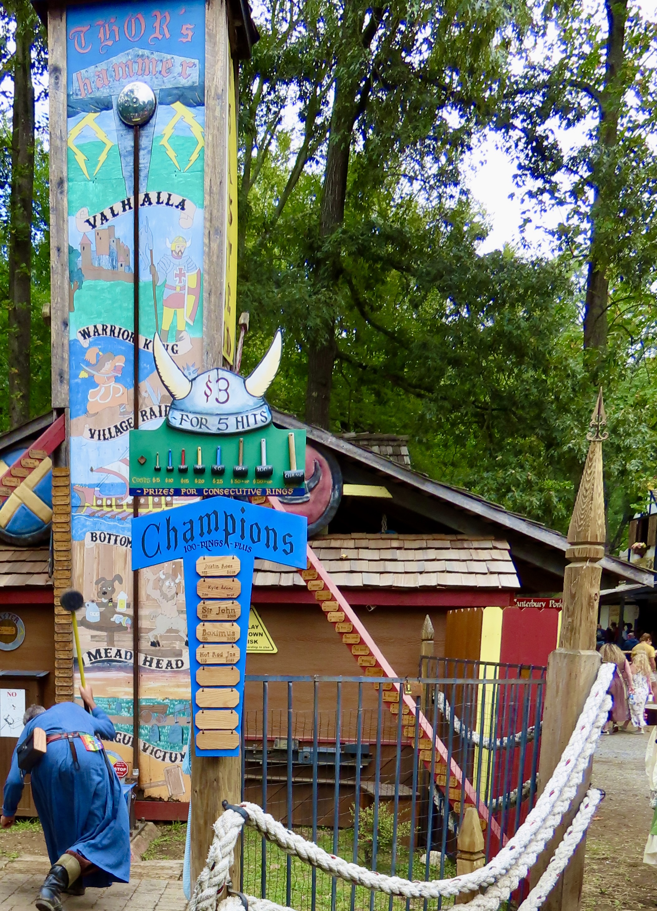
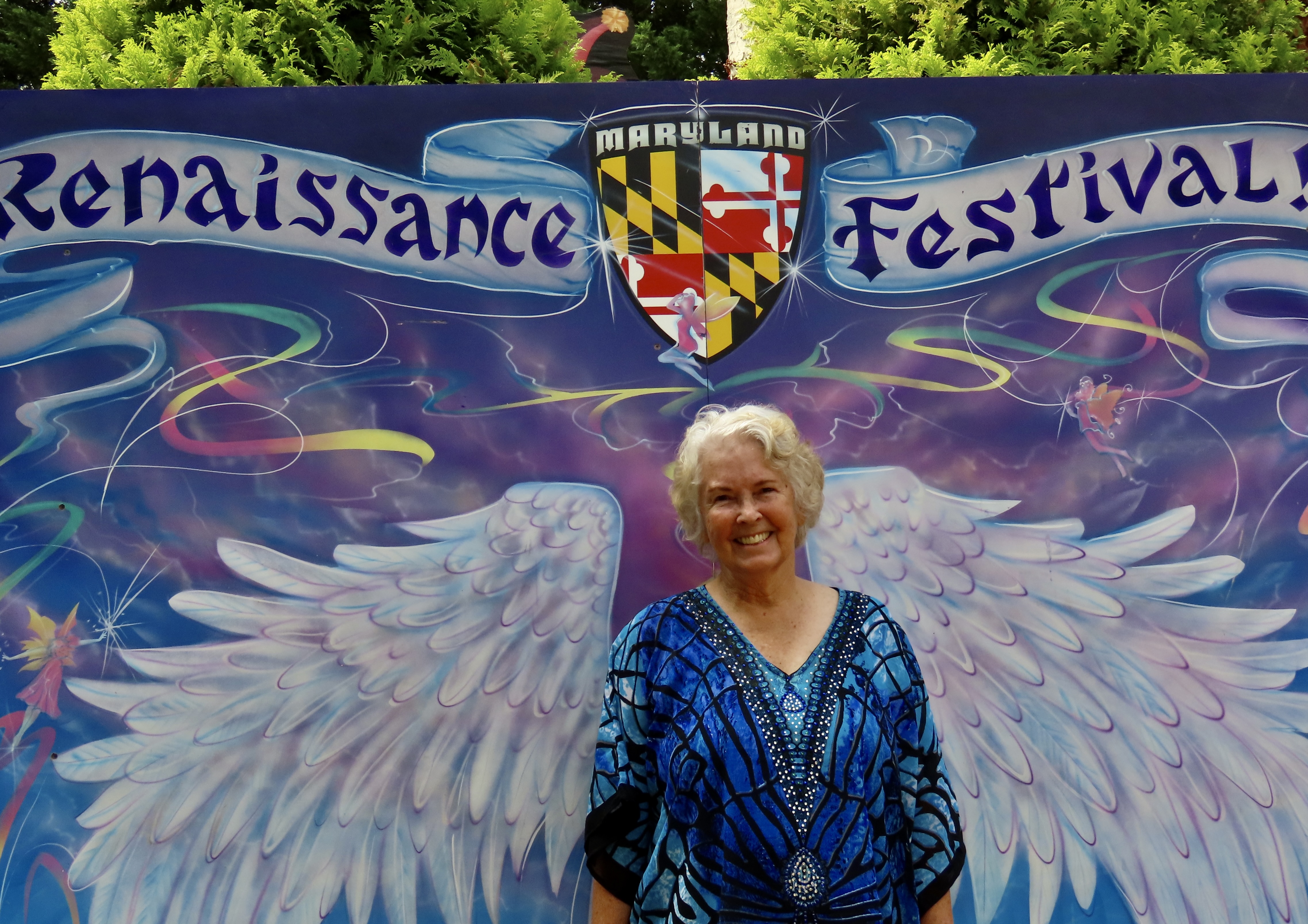
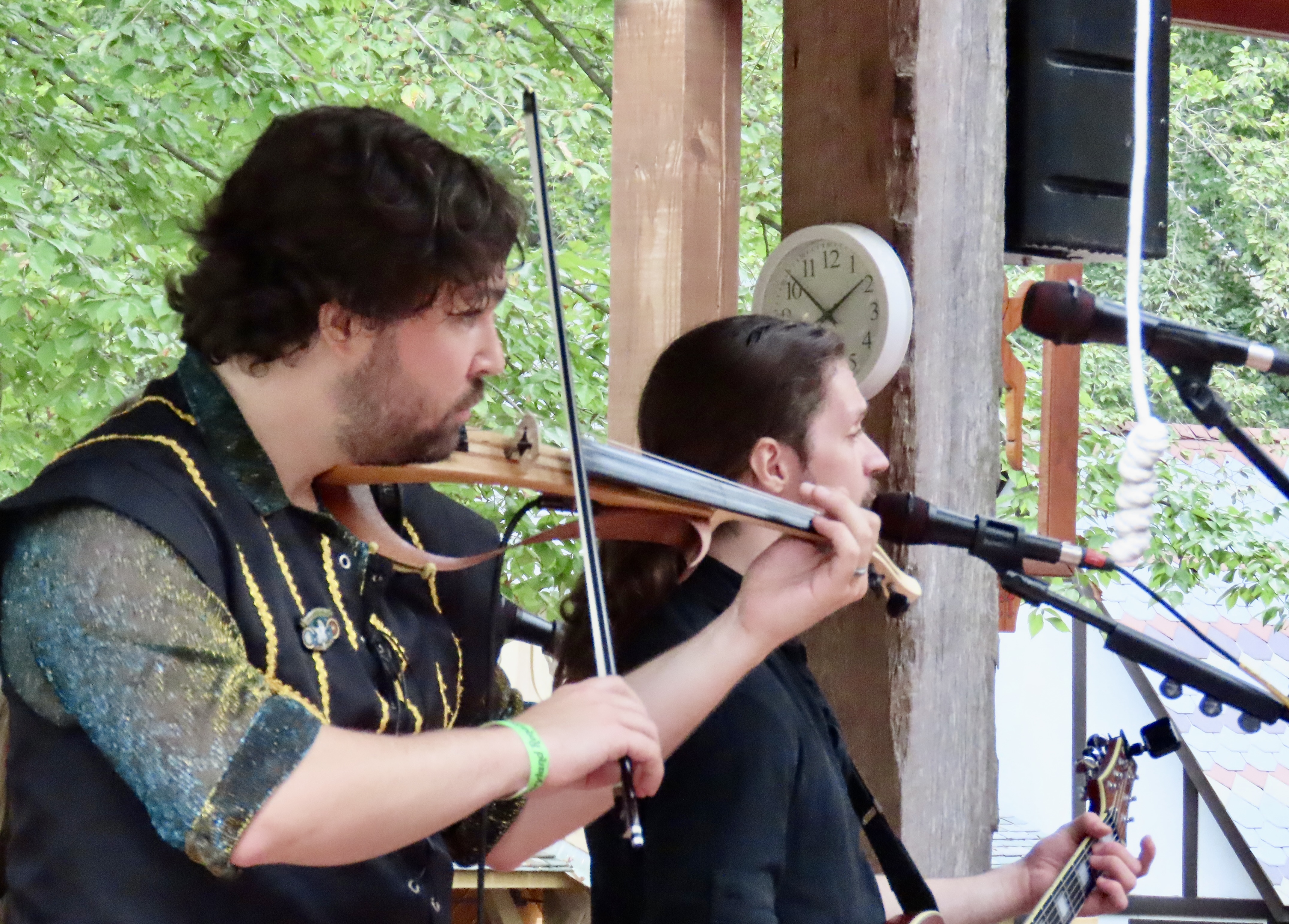
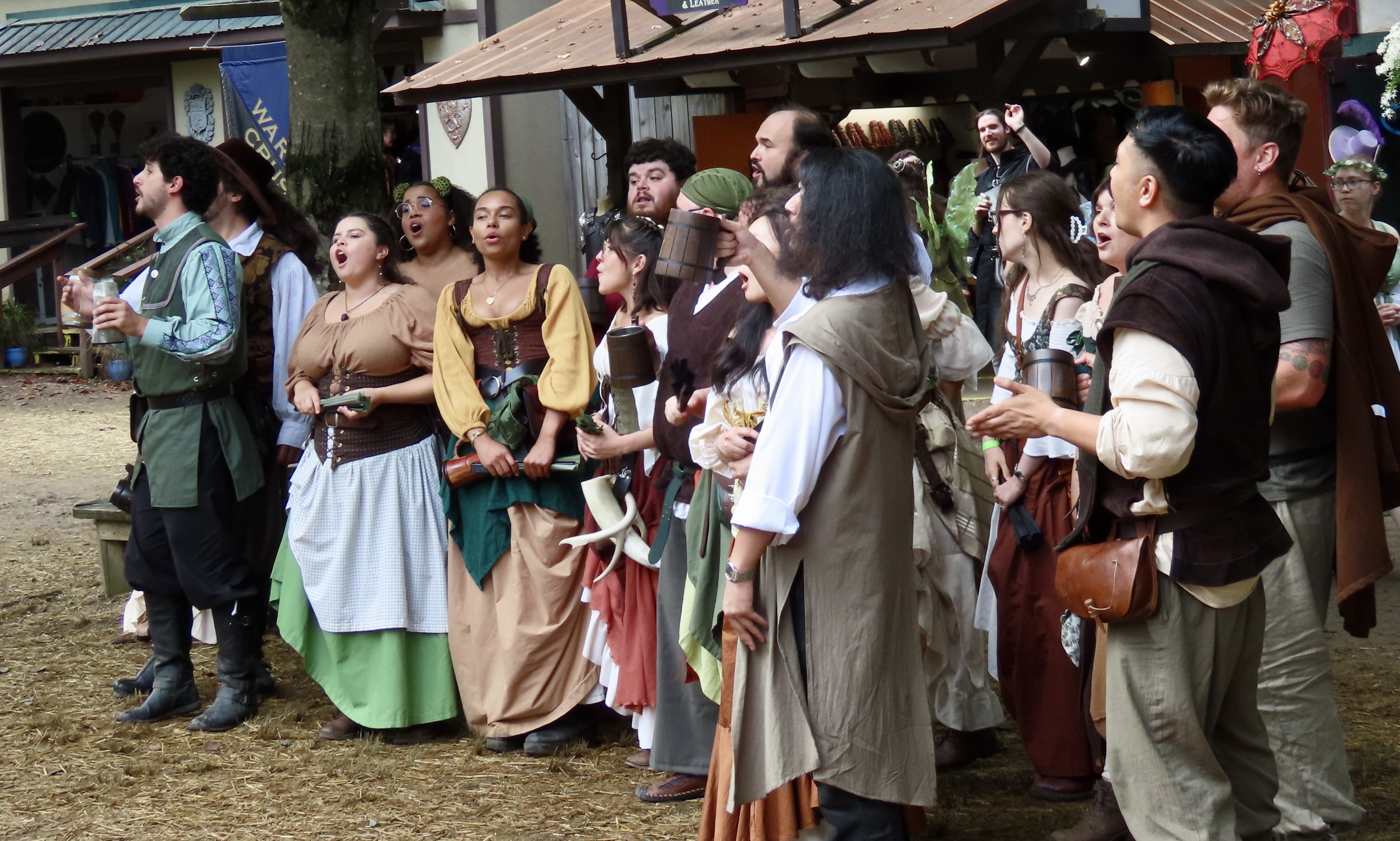
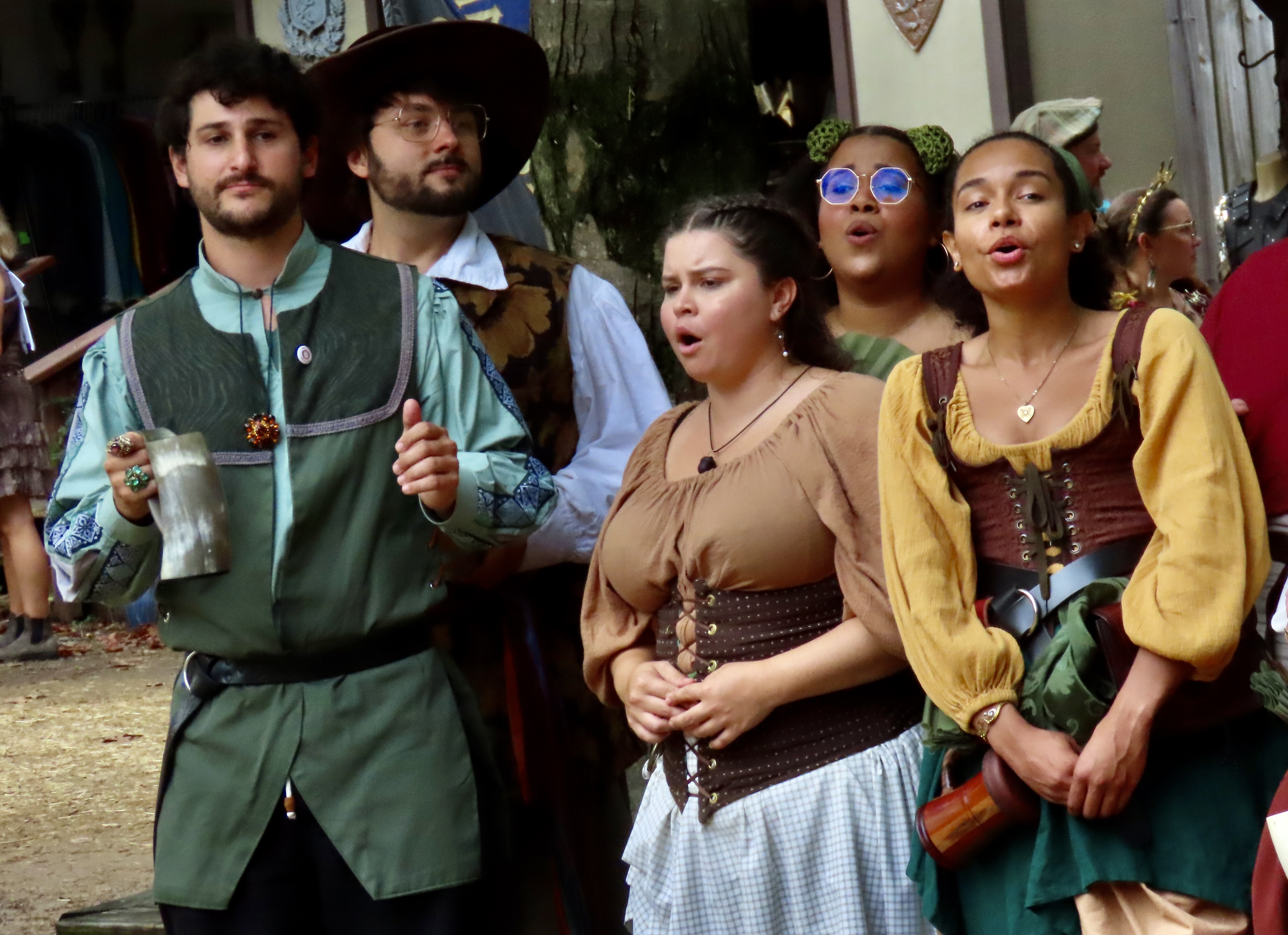
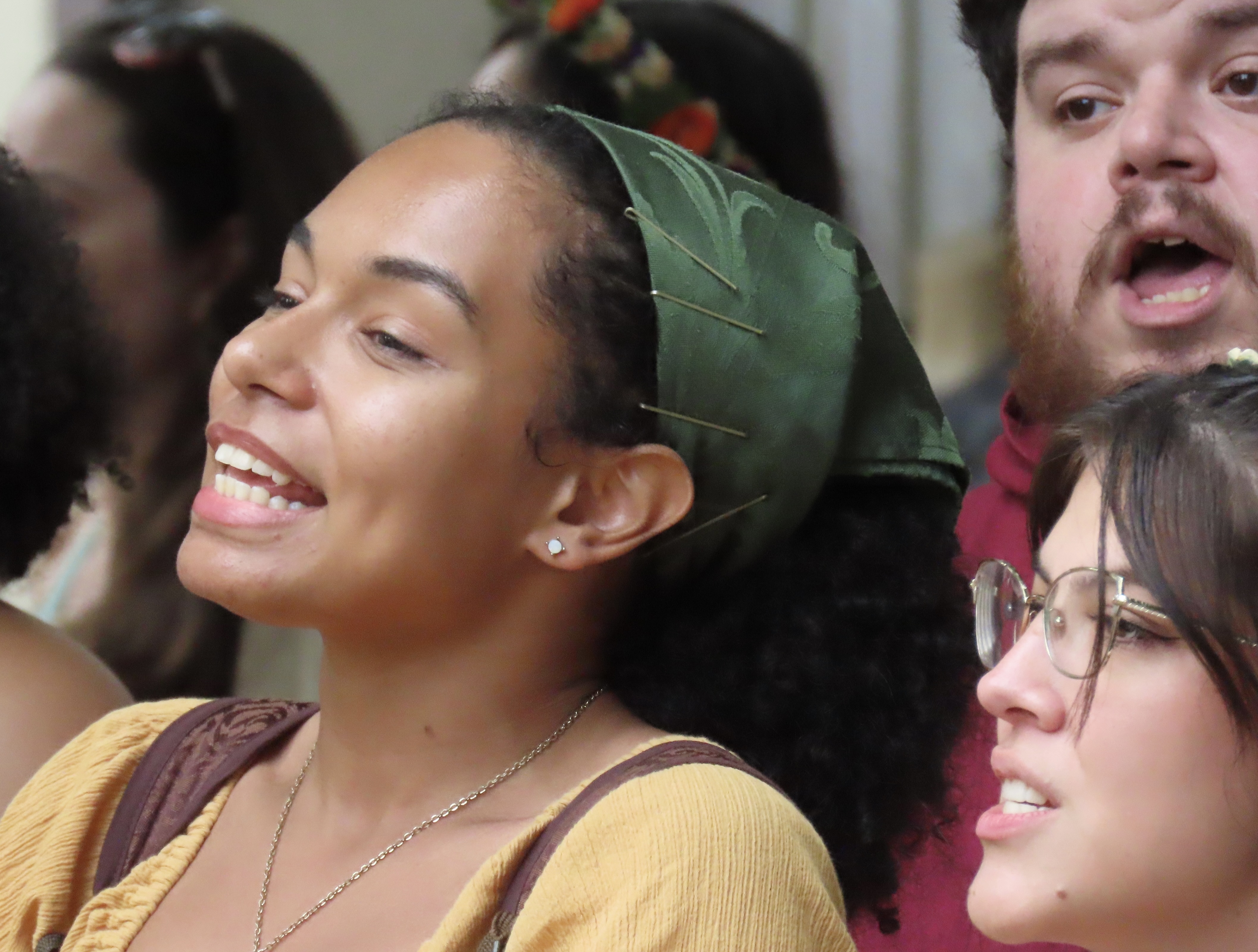
Peggy and I made our way to the Renaissance Festival in Annapolis, Maryland last week. It’s a big deal, hosting some 15,000 people per day and covering 27 acres. Started in 1977 and now in it’s 49th year, it is one of the oldest and biggest of the some 300 Renaissance Faire type events across the nation and in Europe.
The Maryland Renaissance Festival focuses on King Henry VIII and his six wives with a story that progresses each year following his life and love life. This time, the year was 1539 and Henry was at the festival to meet with Hans Holbein the Younger, the renown painter, who had done portraits of potential wives of the right ‘pedigree’ across Europe. And yes, Hans Holbein actually did that, serving as a matchmaker for the King. As to why a woman would want to marry the King given the fate of his wives— including Anne Boleyn who had her head chopped off— one can only wonder?
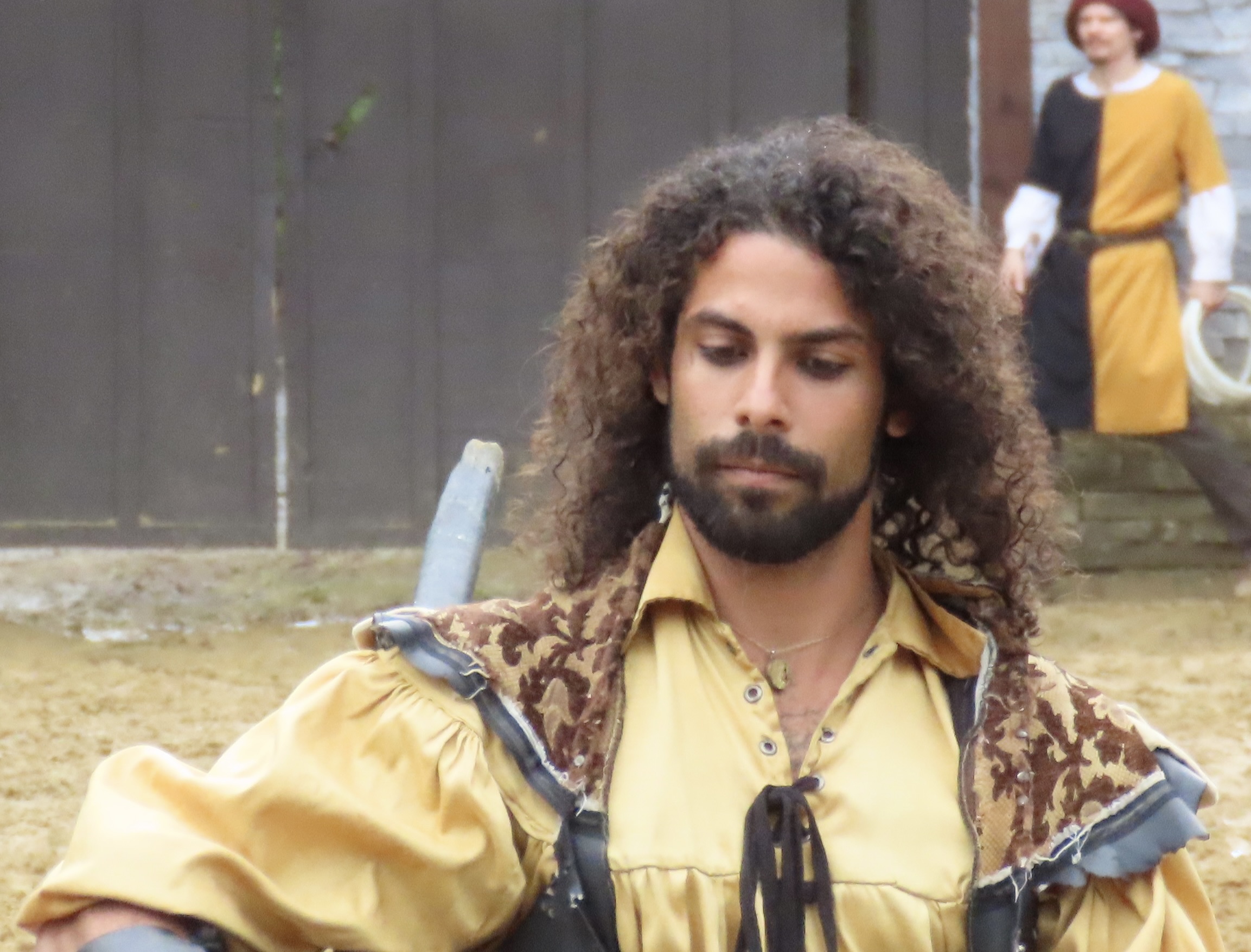
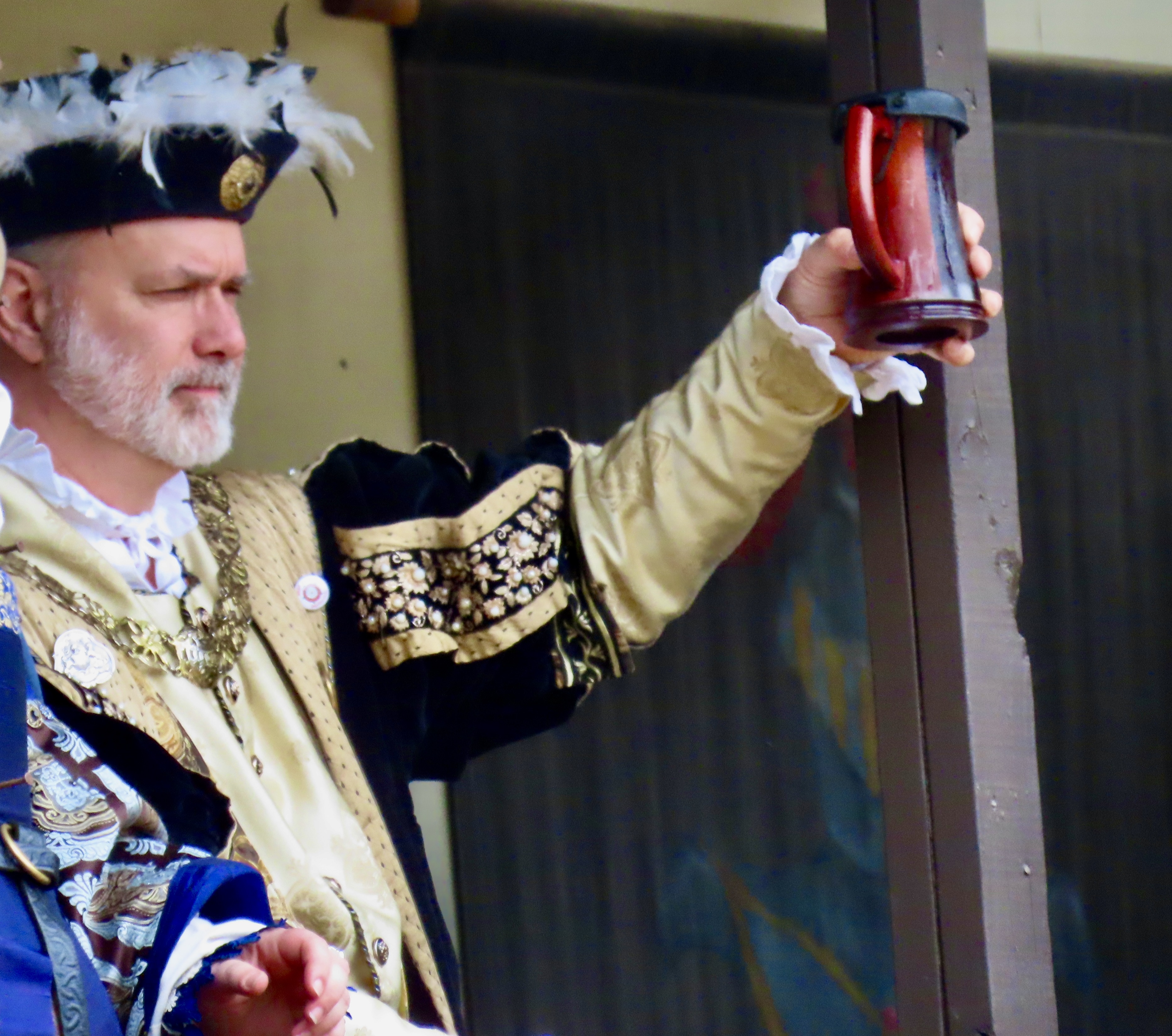

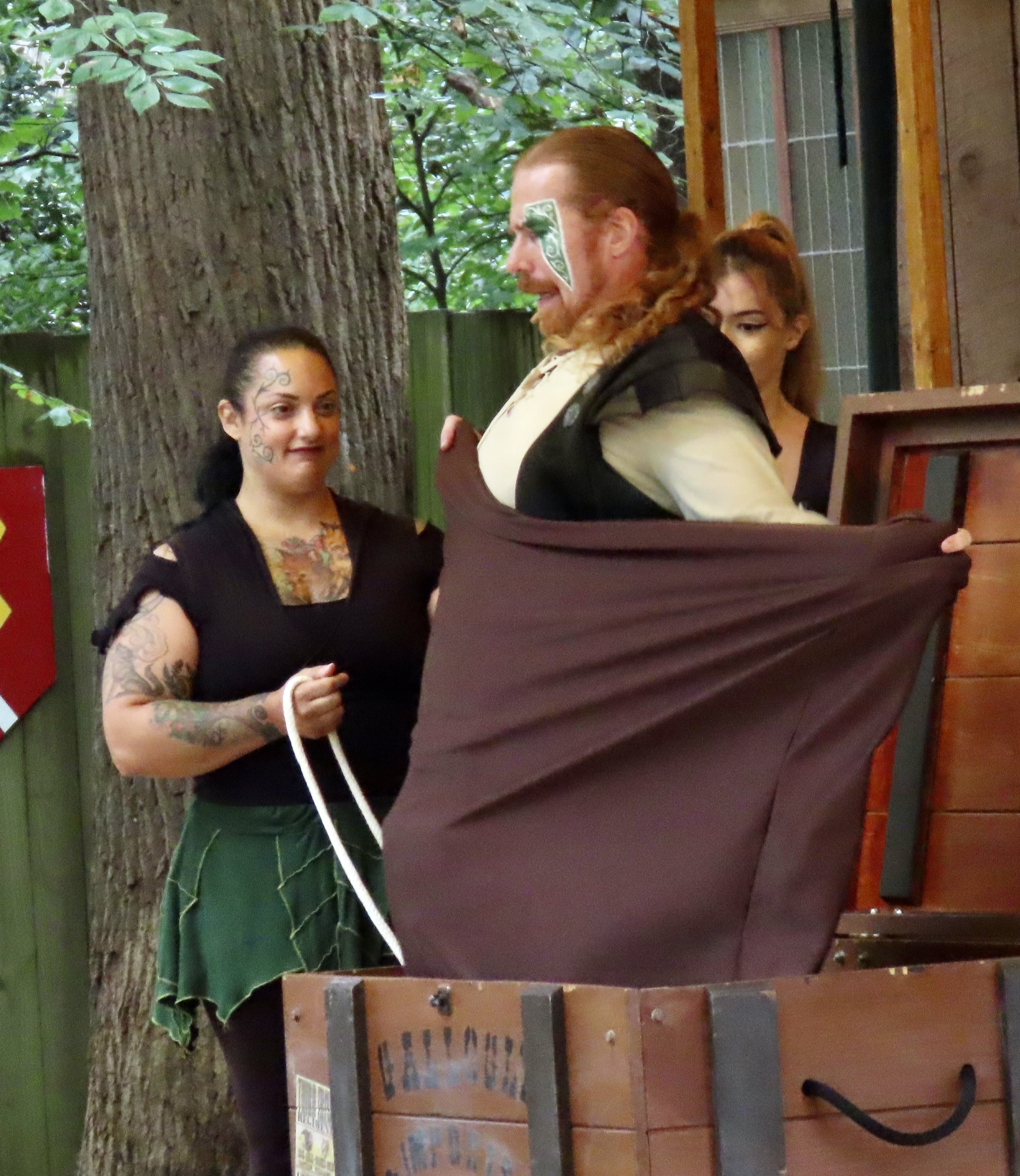
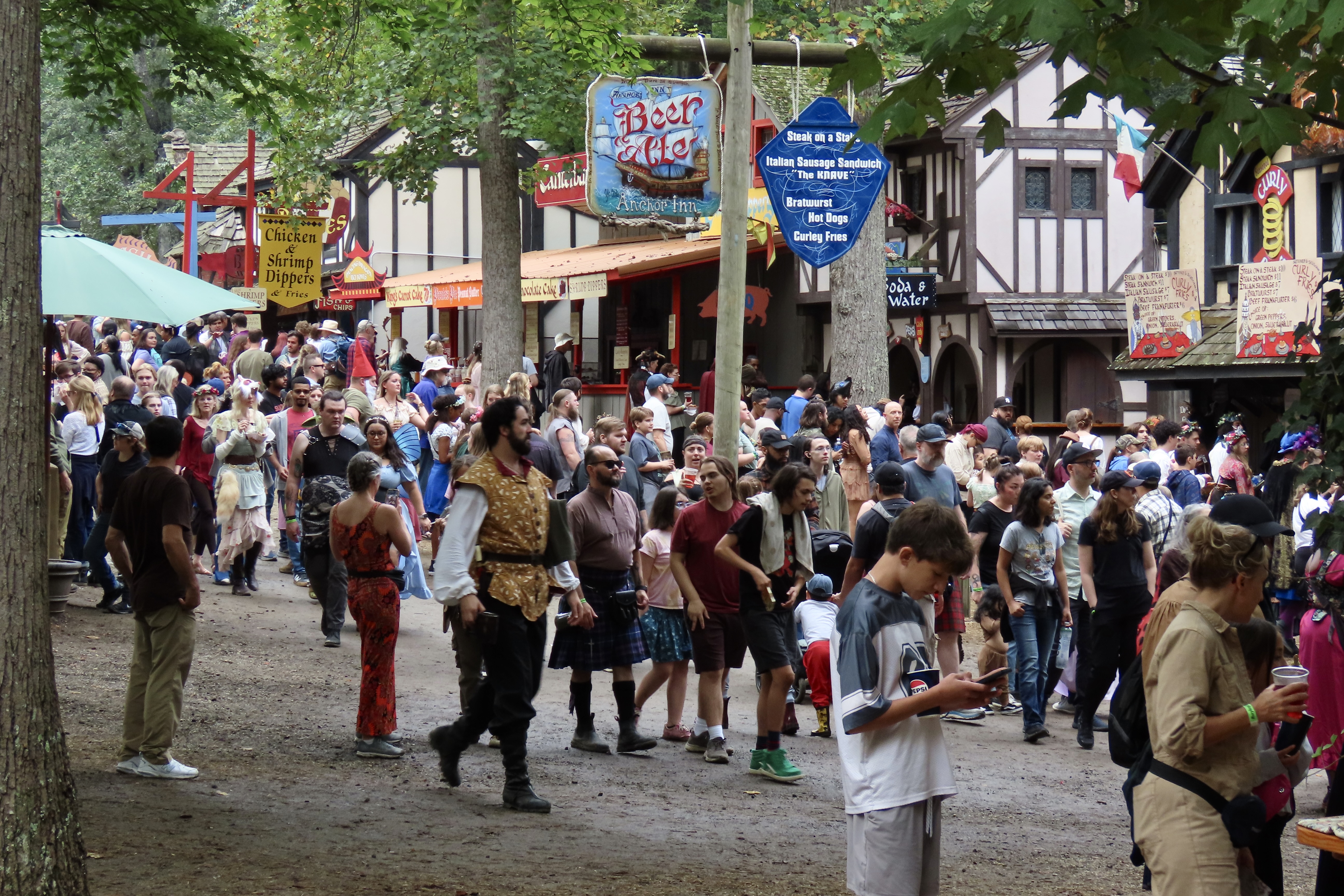
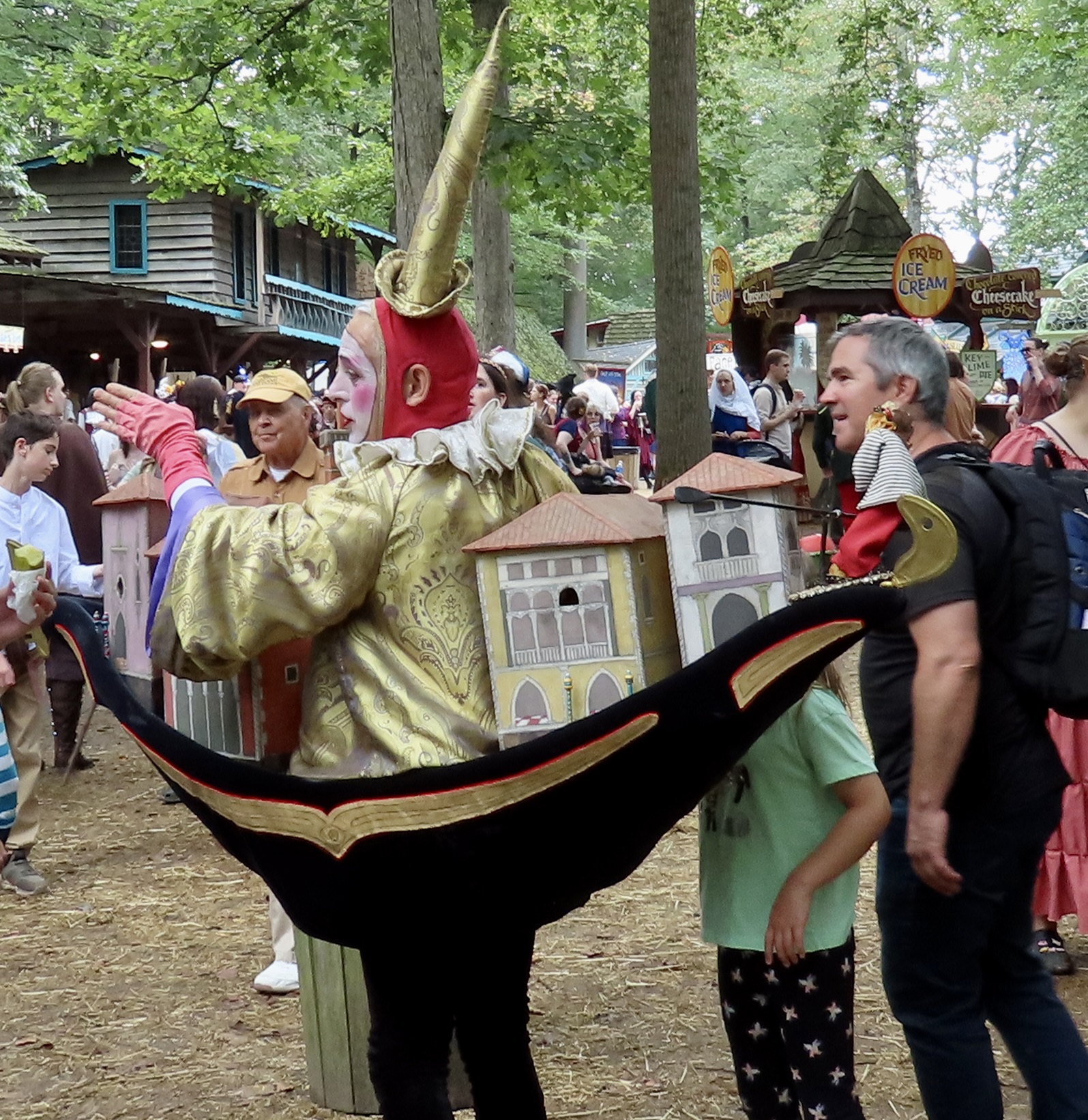
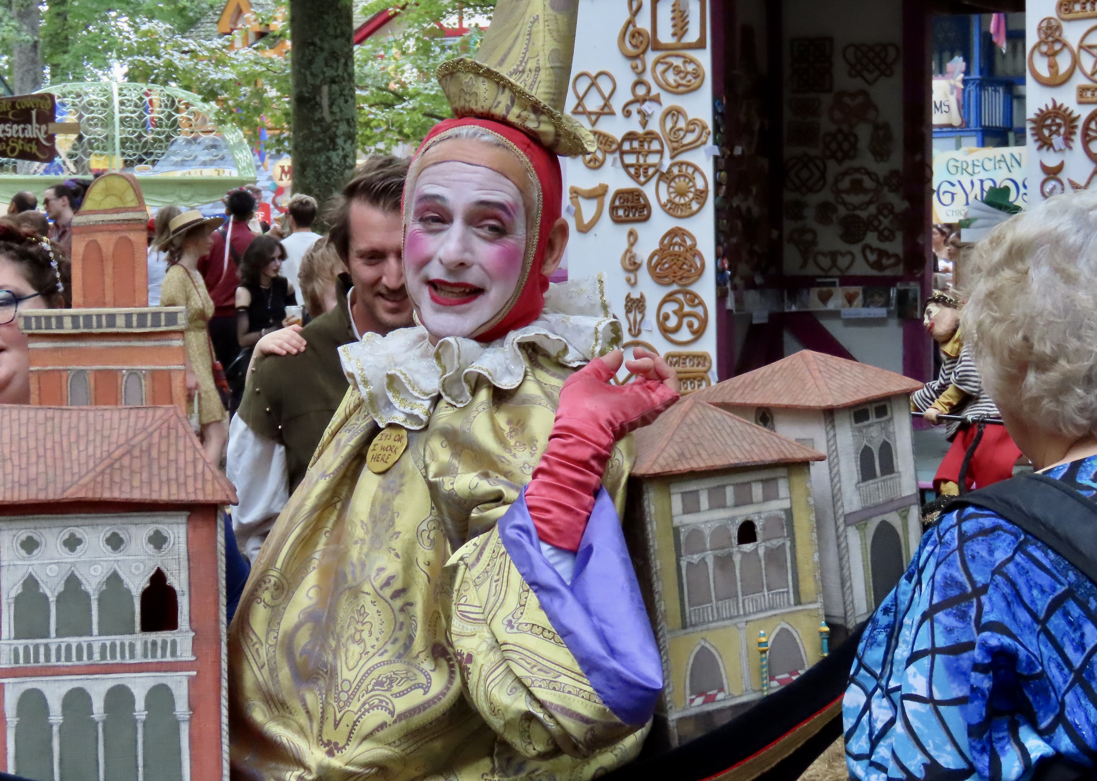
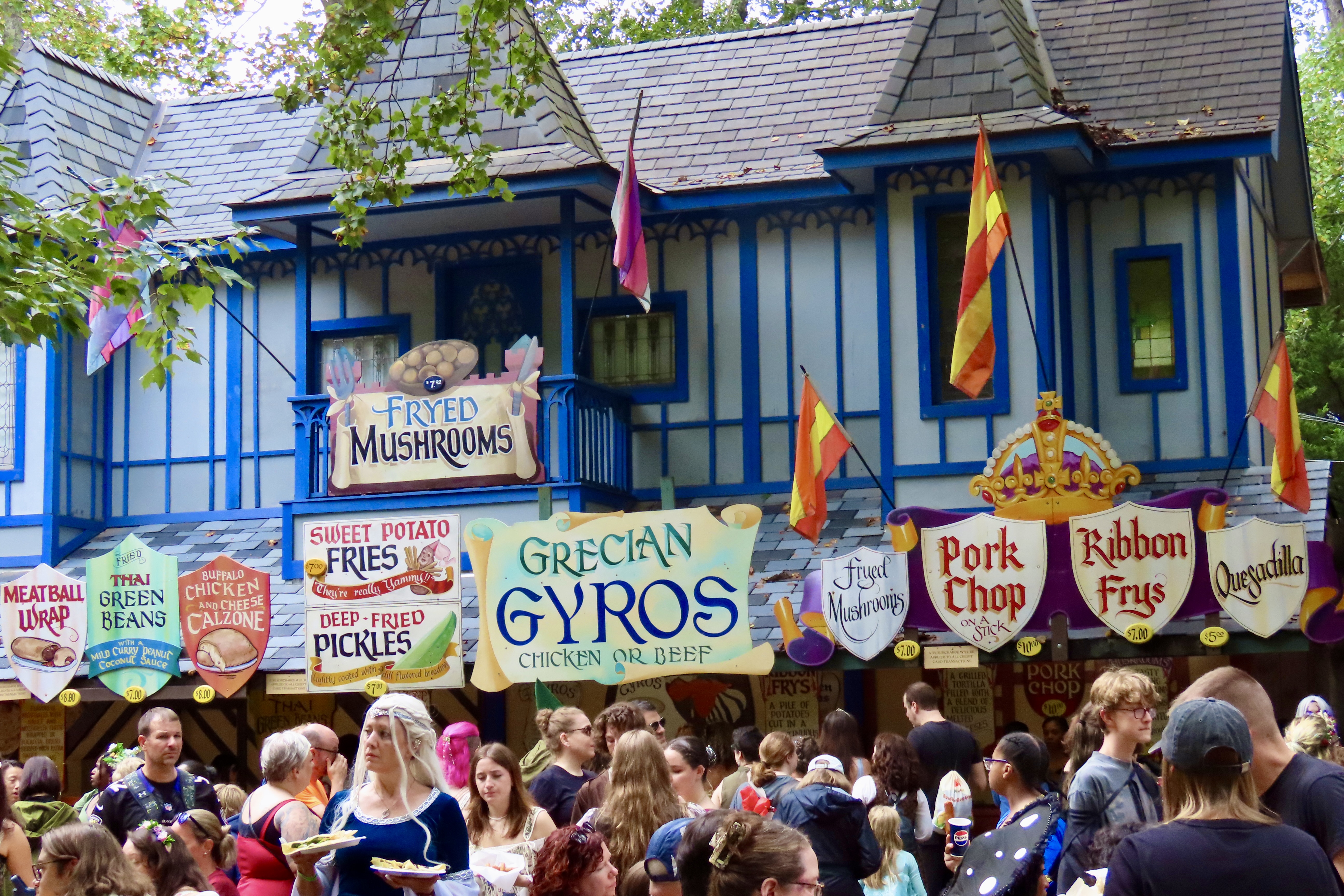
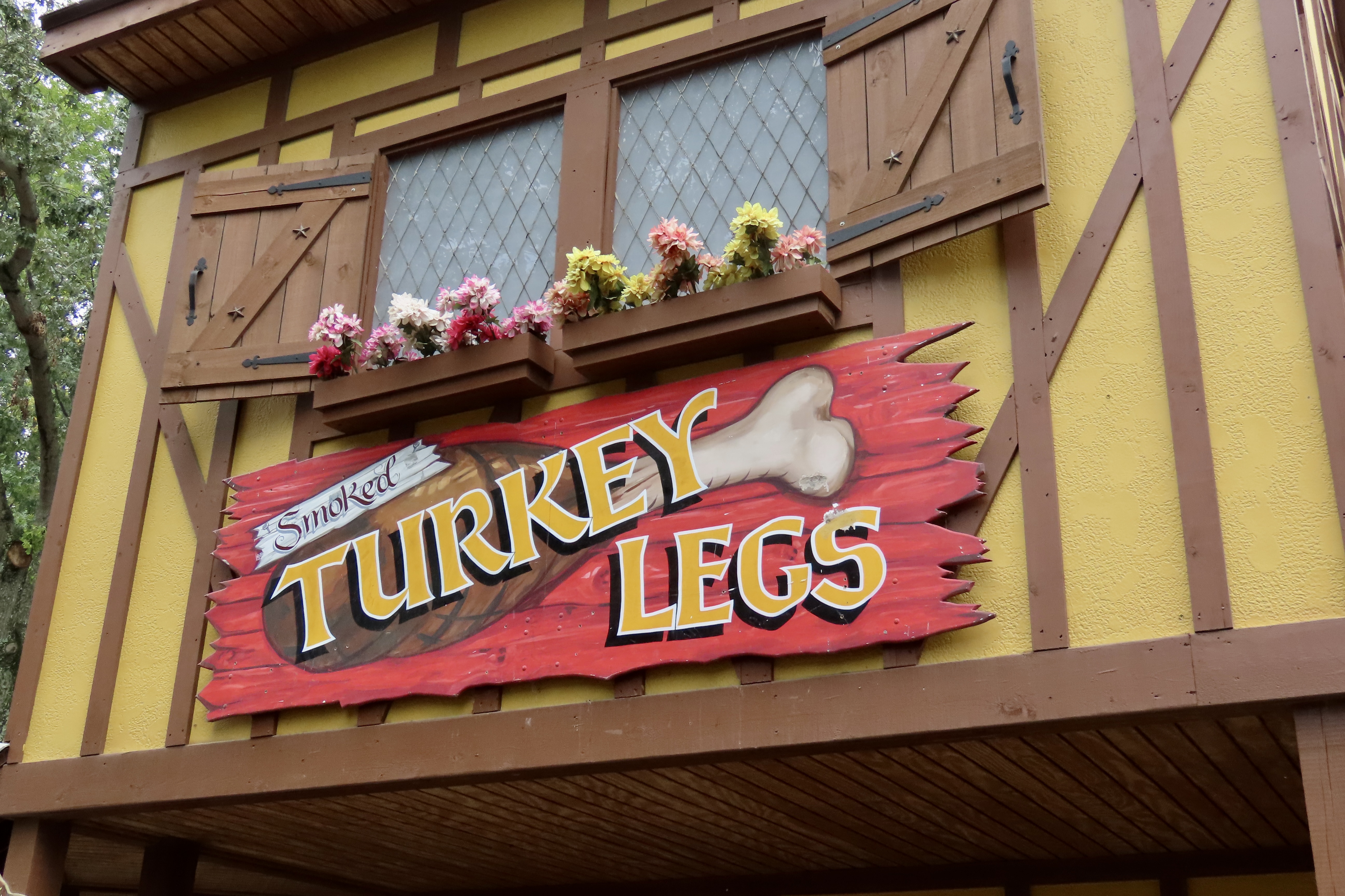
The smoked turkey leg tasted good, but it was tough. Possibly the toughest meat I have ever eaten. People were pulling the meat off with their fingers instead of chewing it off. I saw some, who were lucky enough to have a pocket knife, carving it off. But duty is duty. I had eaten a turkey leg at all three Renaissance Faires I had been to before, and I was going to eat one at the fourth! Peggy and I shared, washing each hard earned bite down with a sip of ale.
My first Renaissance Faire was in 1969 at the Northern California Renaissance Faire held at China Camp State Park on the northern edge of San Pablo Bay, an extension of the San Francisco Bay. At the time, it was one of two such events in the country, not 300. The country’s first Renaissance Pleasure Faire had been staged in Los Angeles 6 years earlier in 1963 by Phyllis Patterson. At the time, she was working at a youth center where she used a theater program she ran in her back yard to motivate her children using great themes from the past. One of the themes was the Renaissance. Finding an illustration of a medieval pageant wagon, she asked two of the dads to build a Commedia dell’arte wagon to use with the kids.(Commedia dell’arte was a form of professional theater that originated in Italy and was popular in the 16th and 17th centuries.) The kids performed a play using the wagon as a prop and loved it. Inspired, Phyllis decided to hold a repeat performance, but in a larger setting, a recreation of an Elizabethan County Fair. It was an immediate hit. The first Renaissance Faire was born. She added the Northern California pageant in 1967. Two years later, I was sitting there eating my turkey leg as the king and his retinue came striding by.
Like, Maryland, the Faire was in a beautiful wooded section. I thought it was magical.
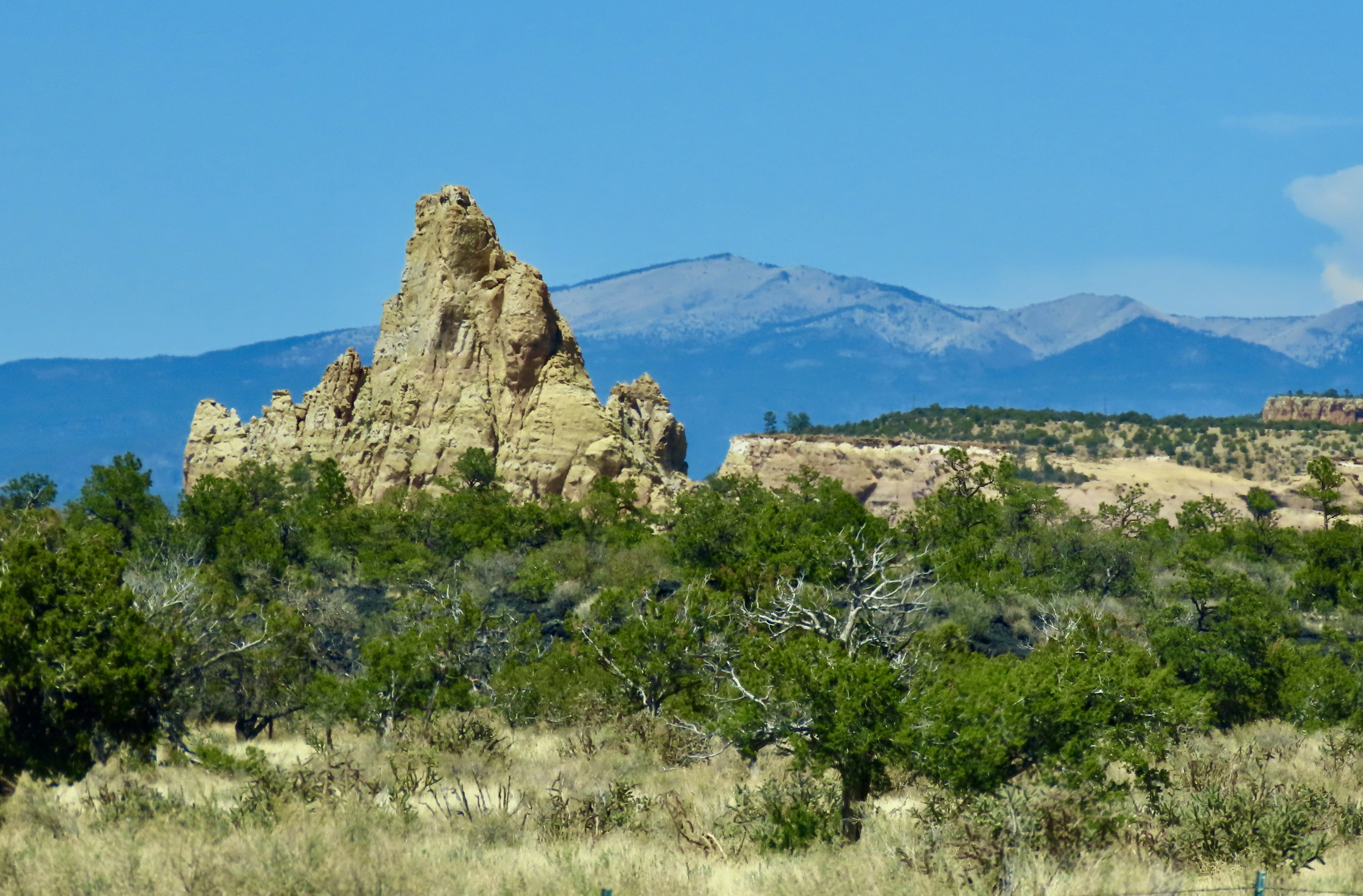
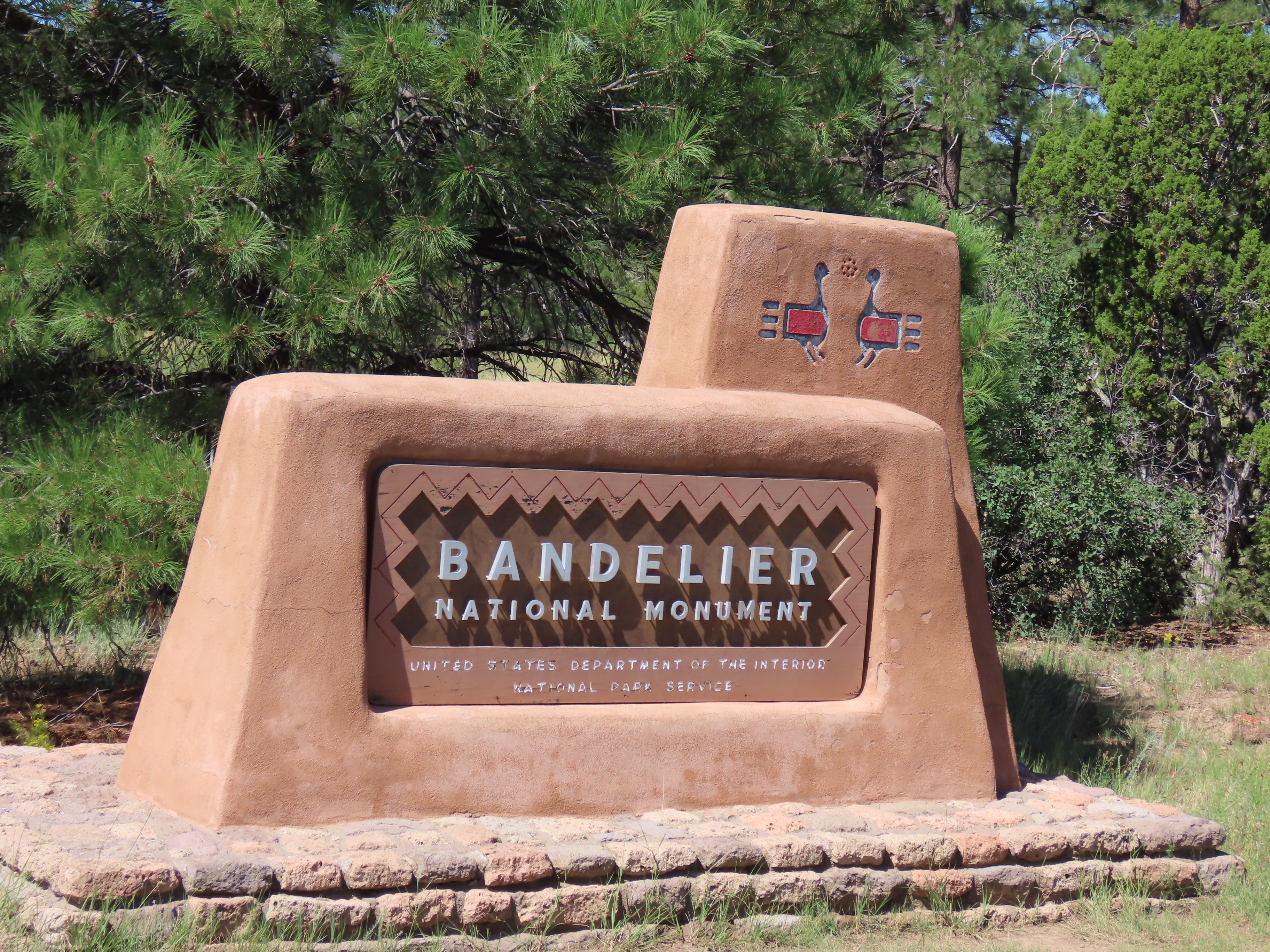
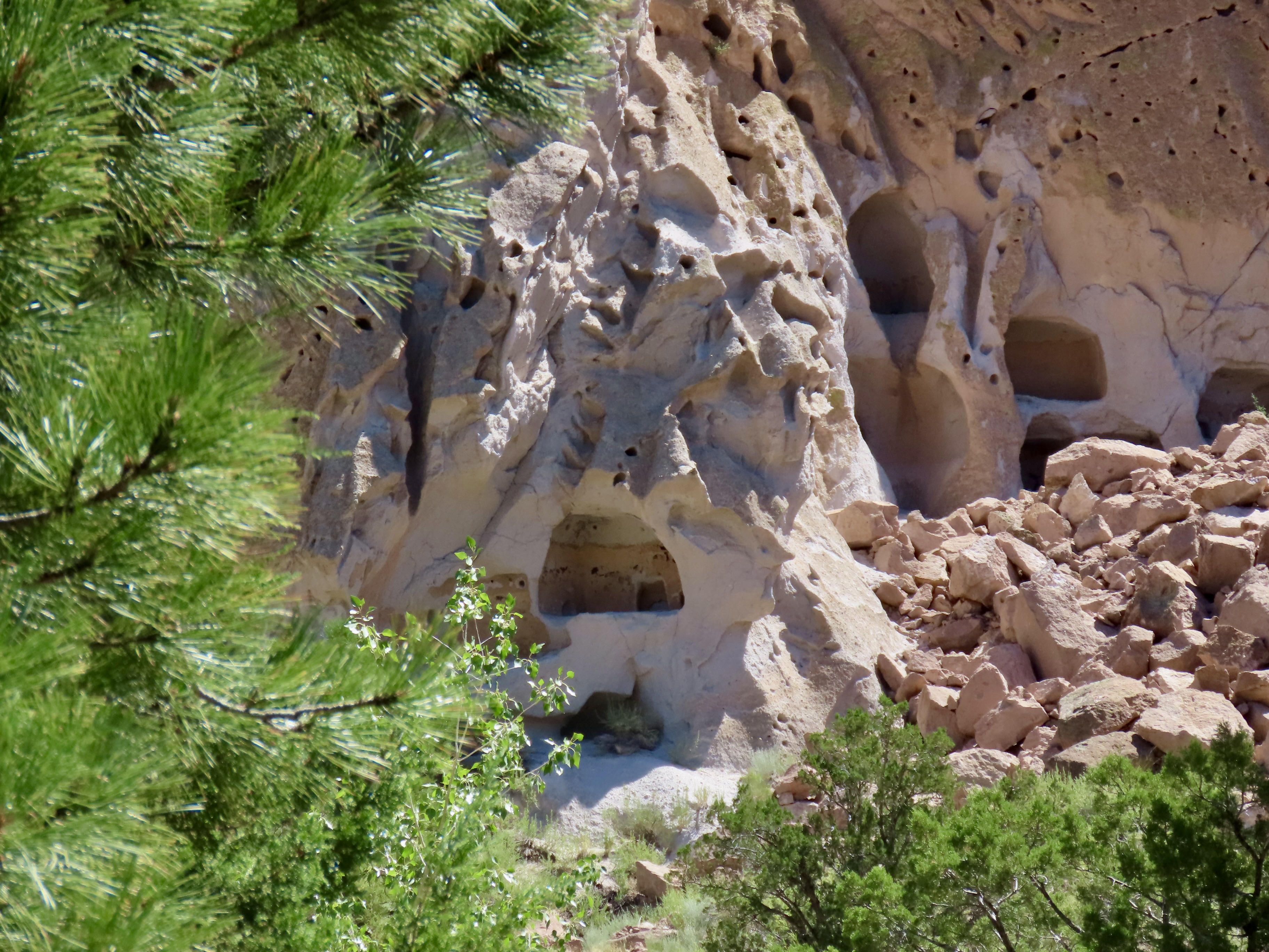
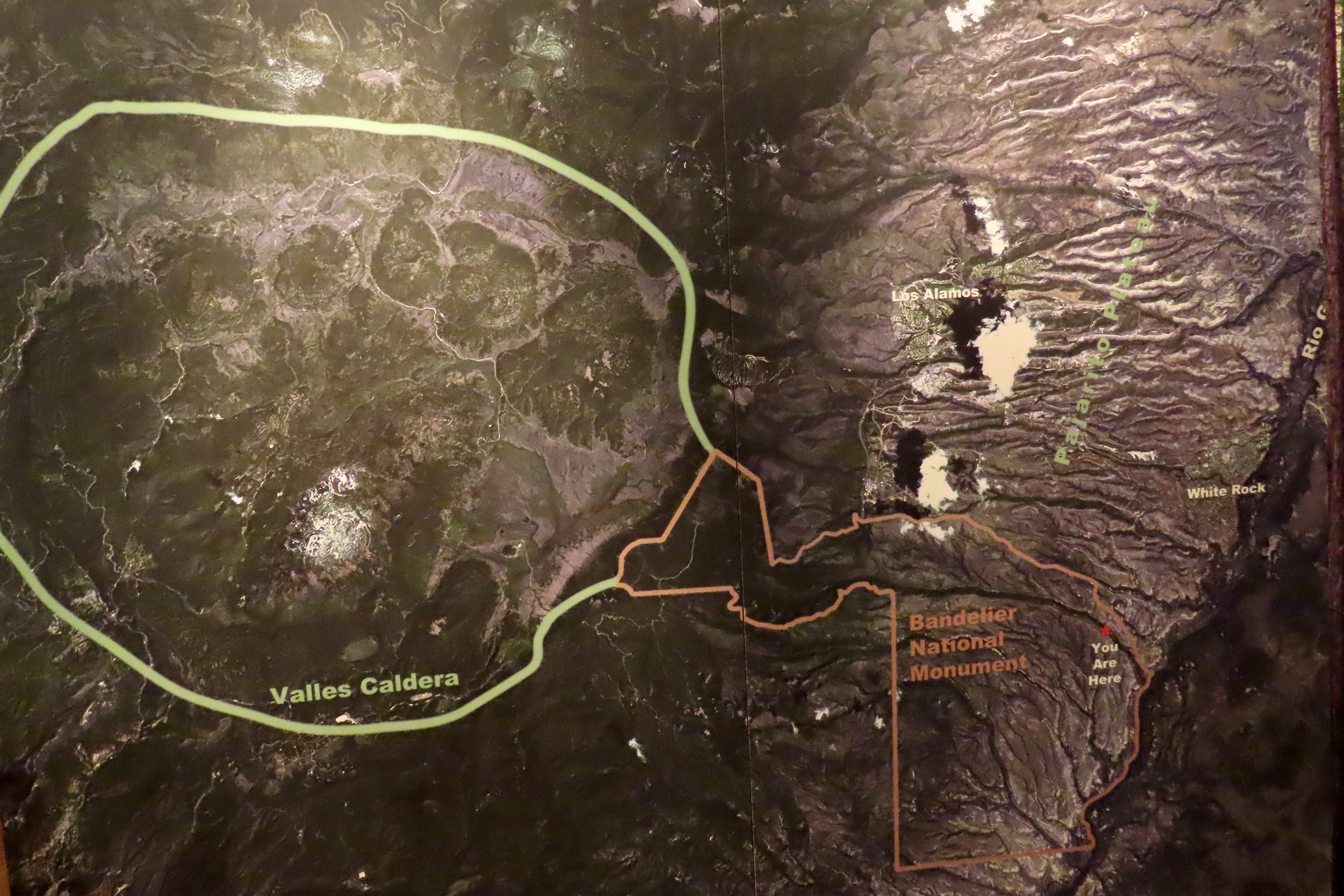
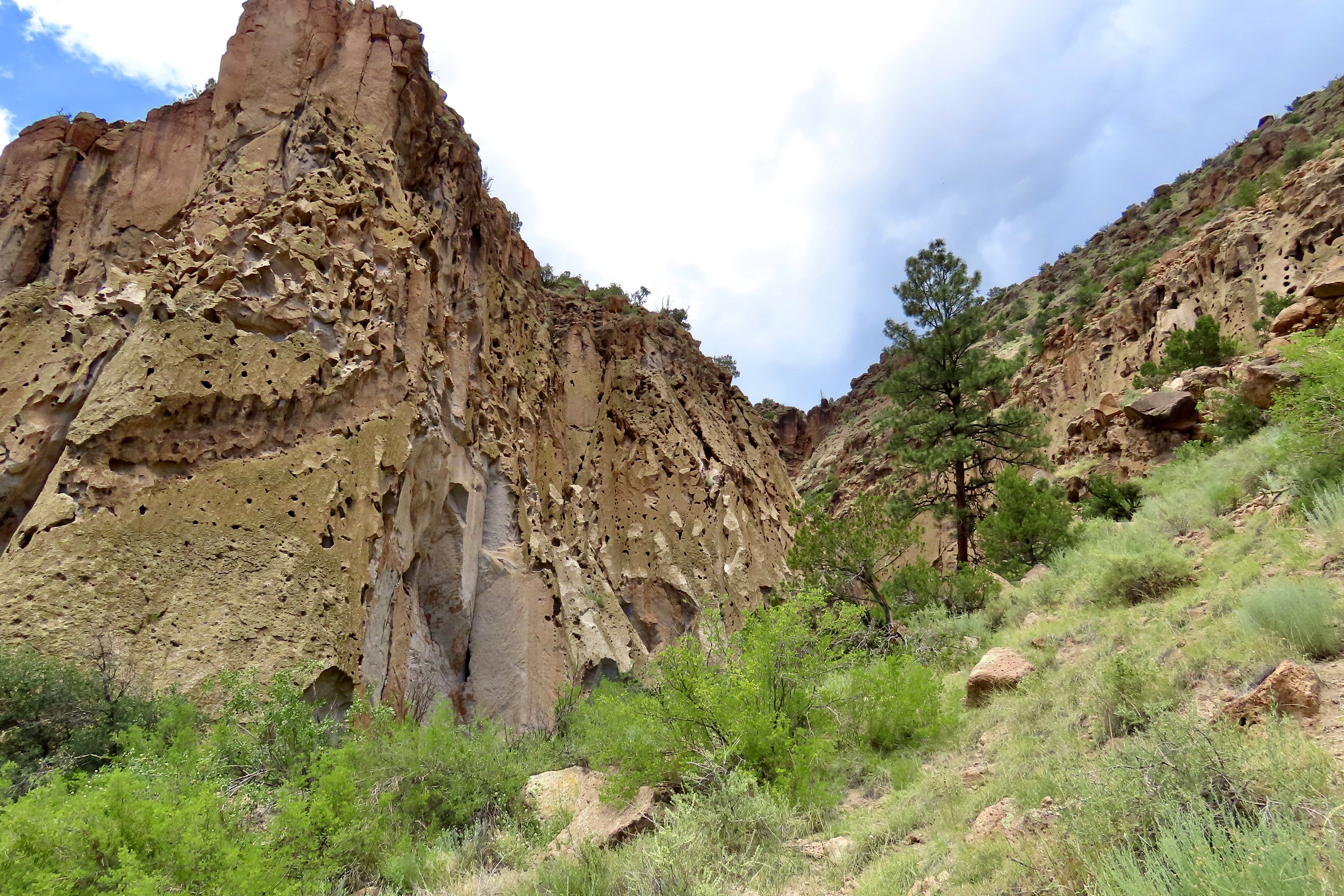
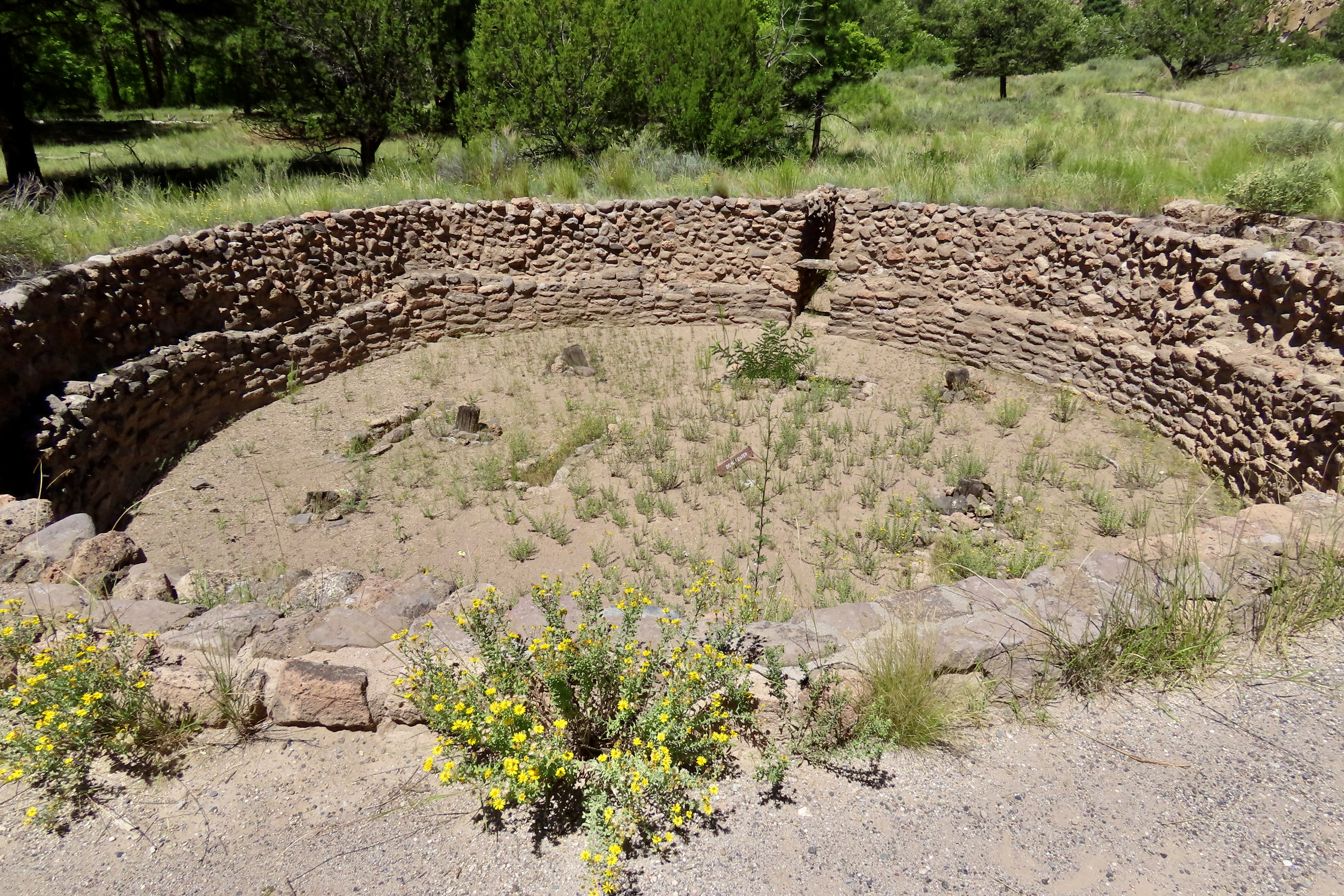
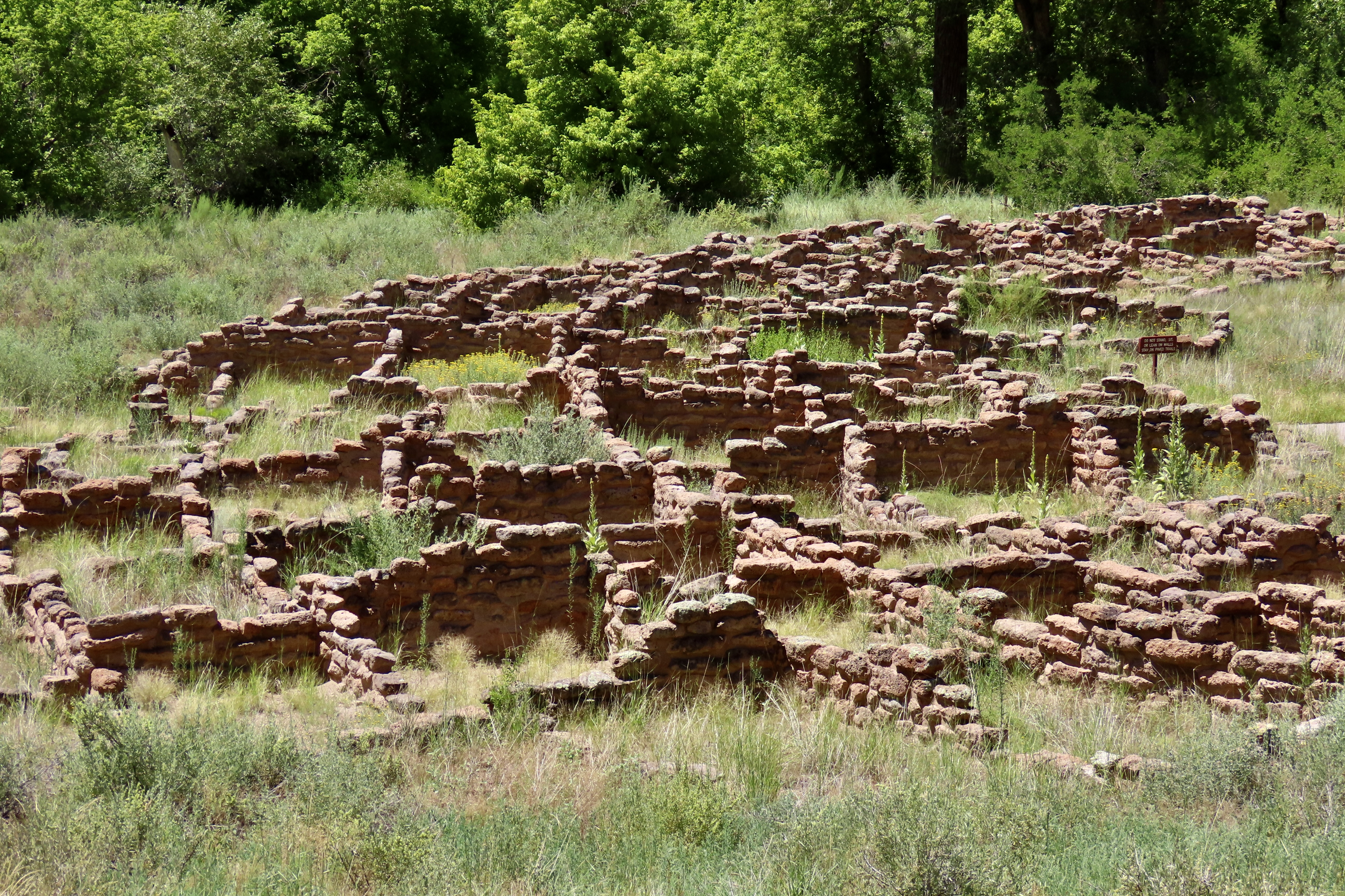
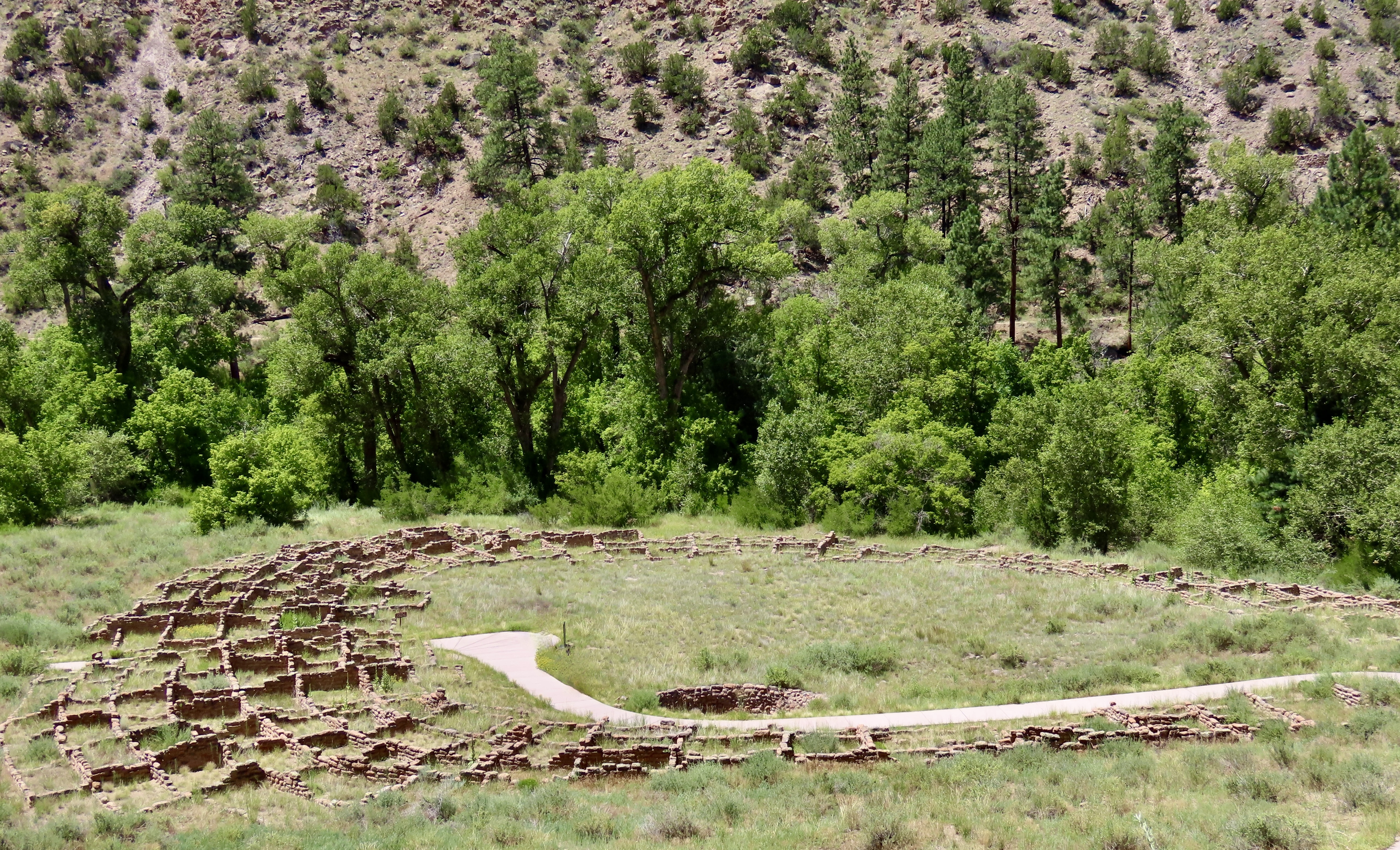
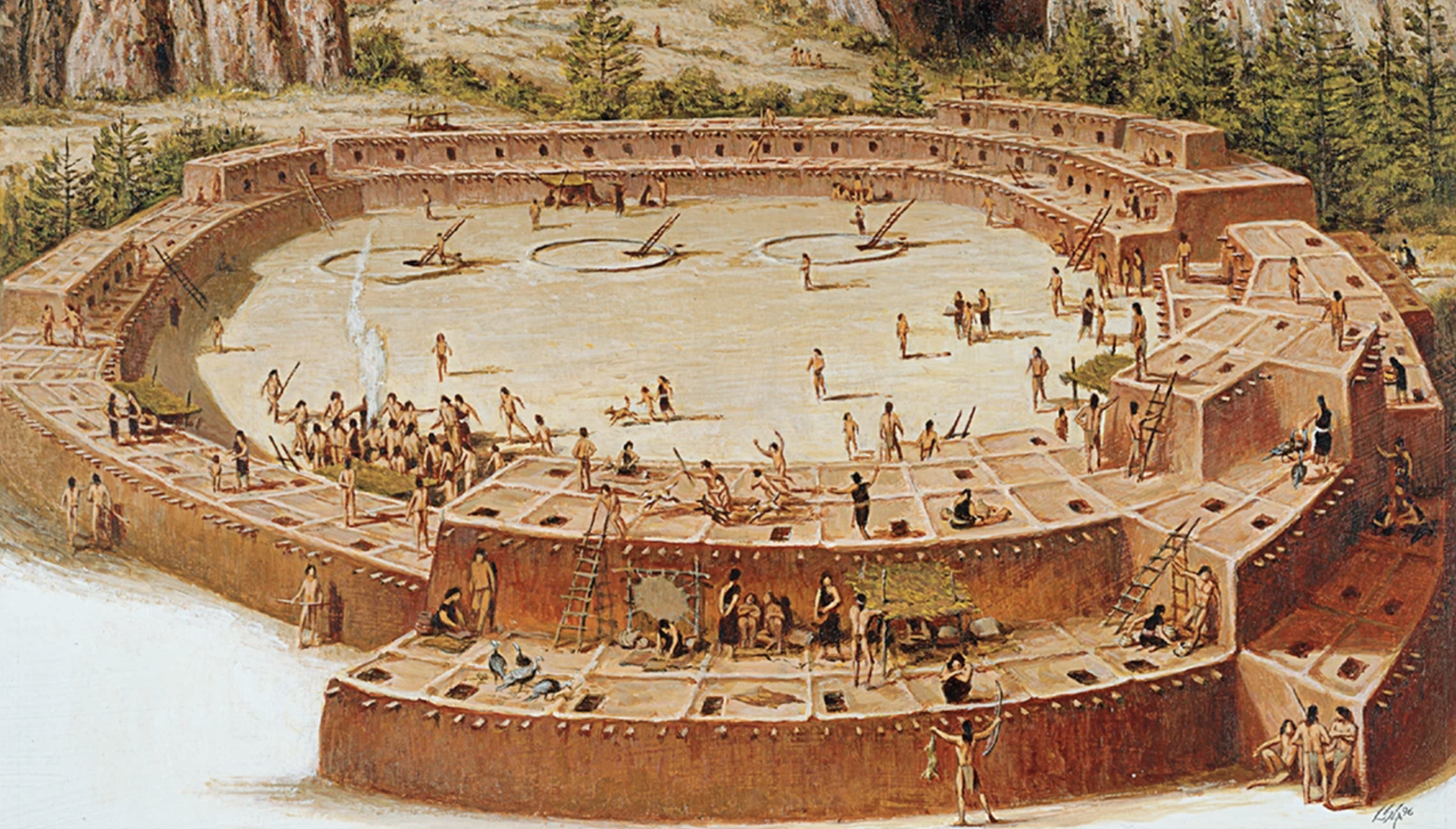
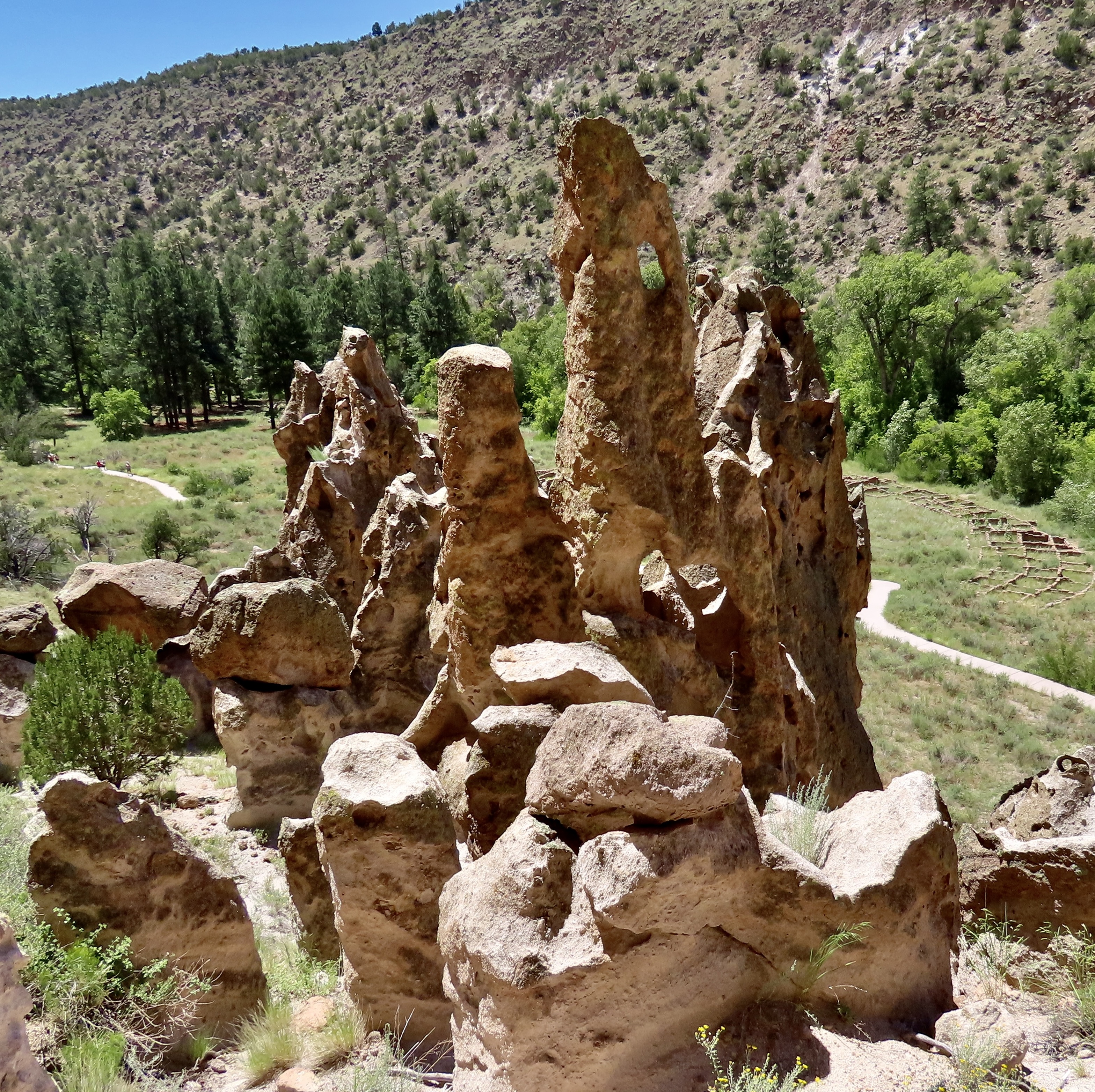
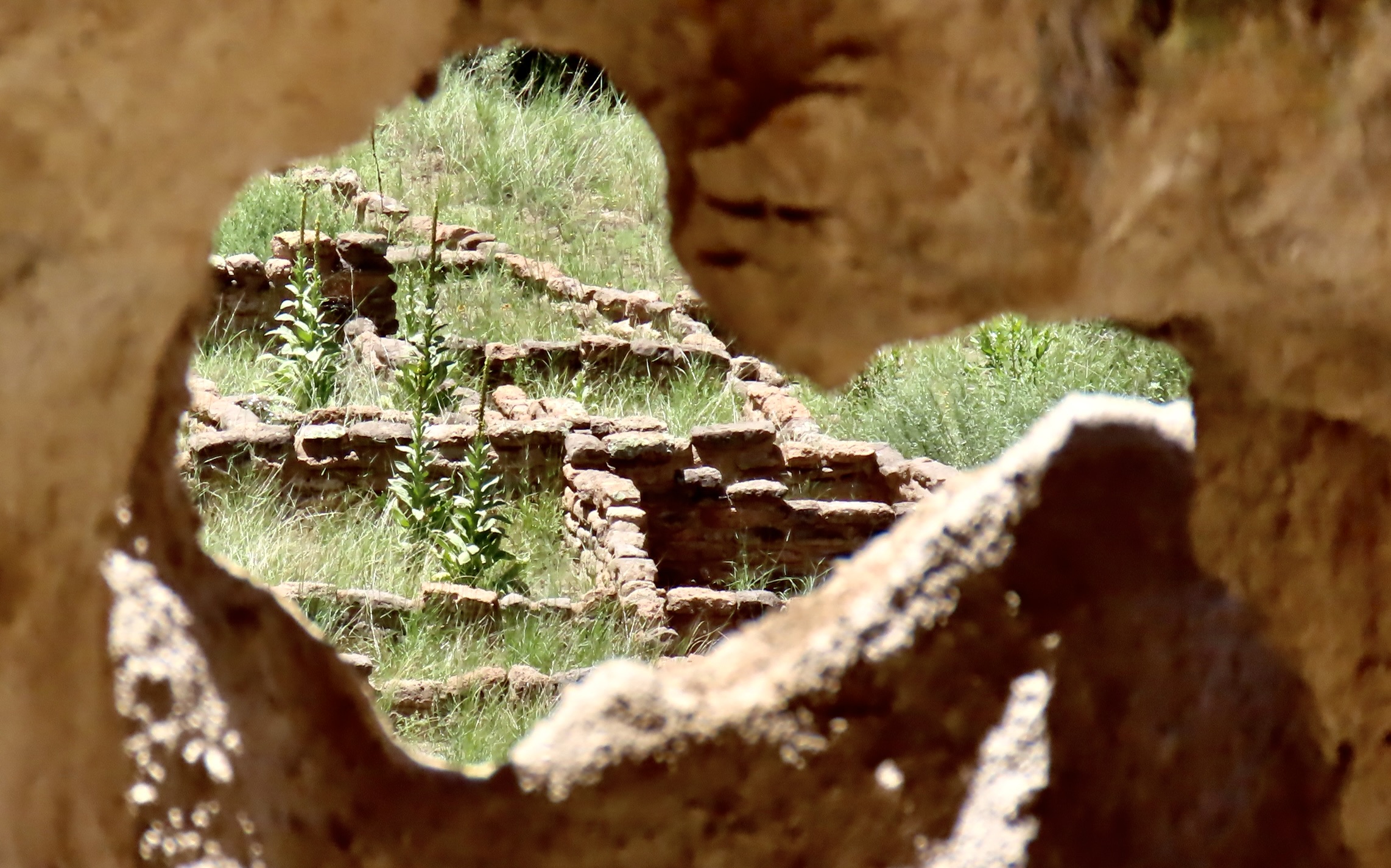
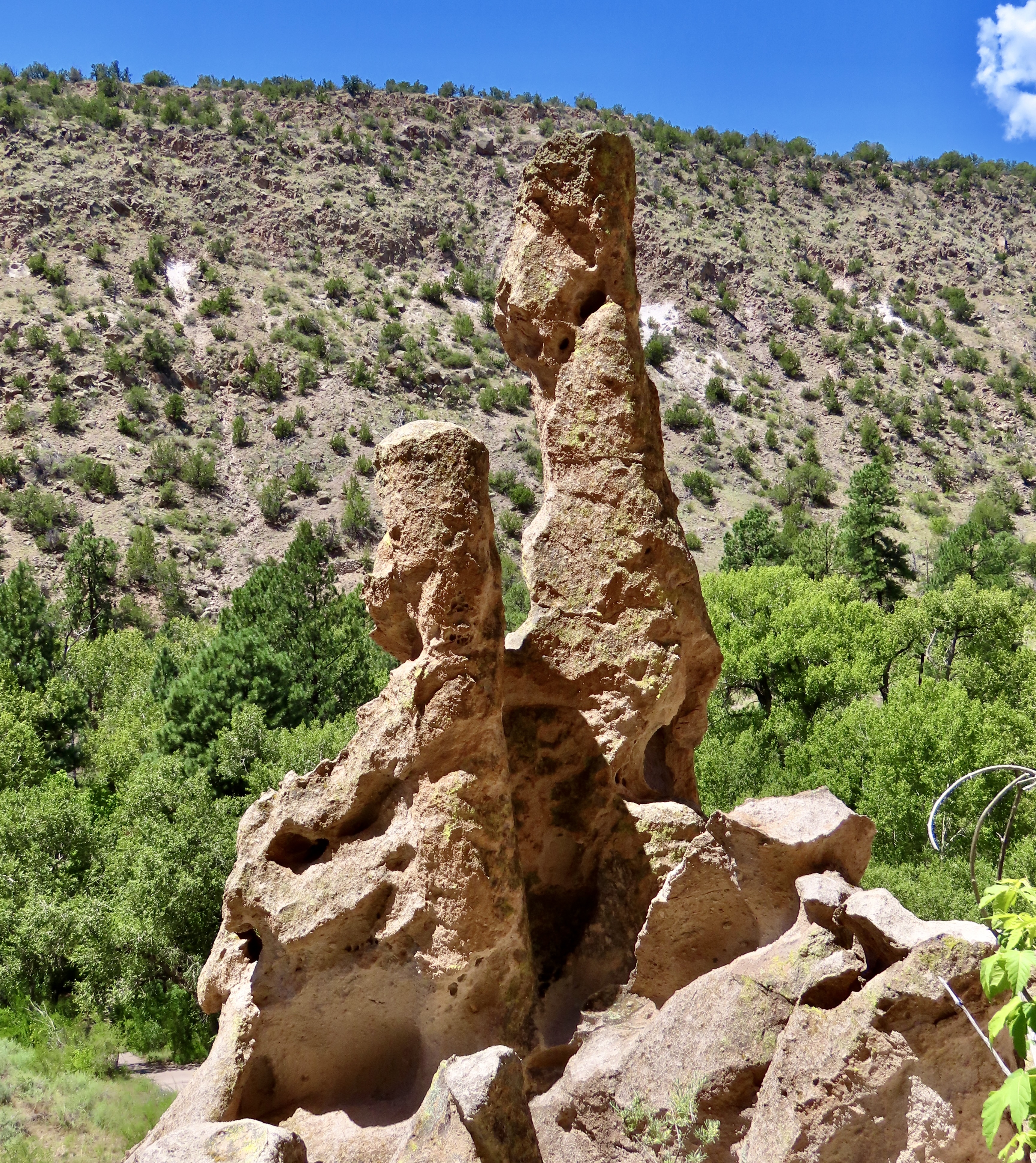
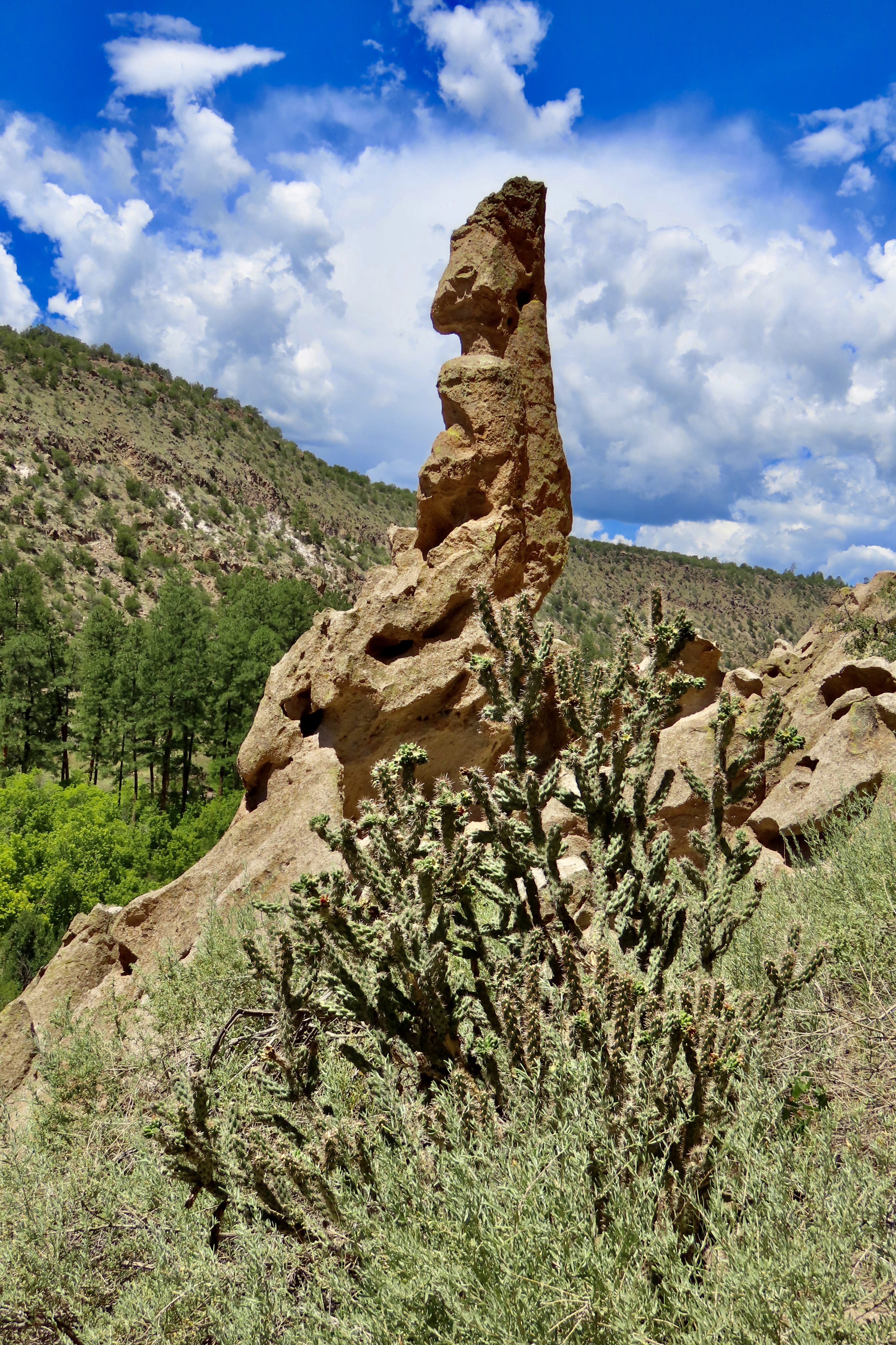
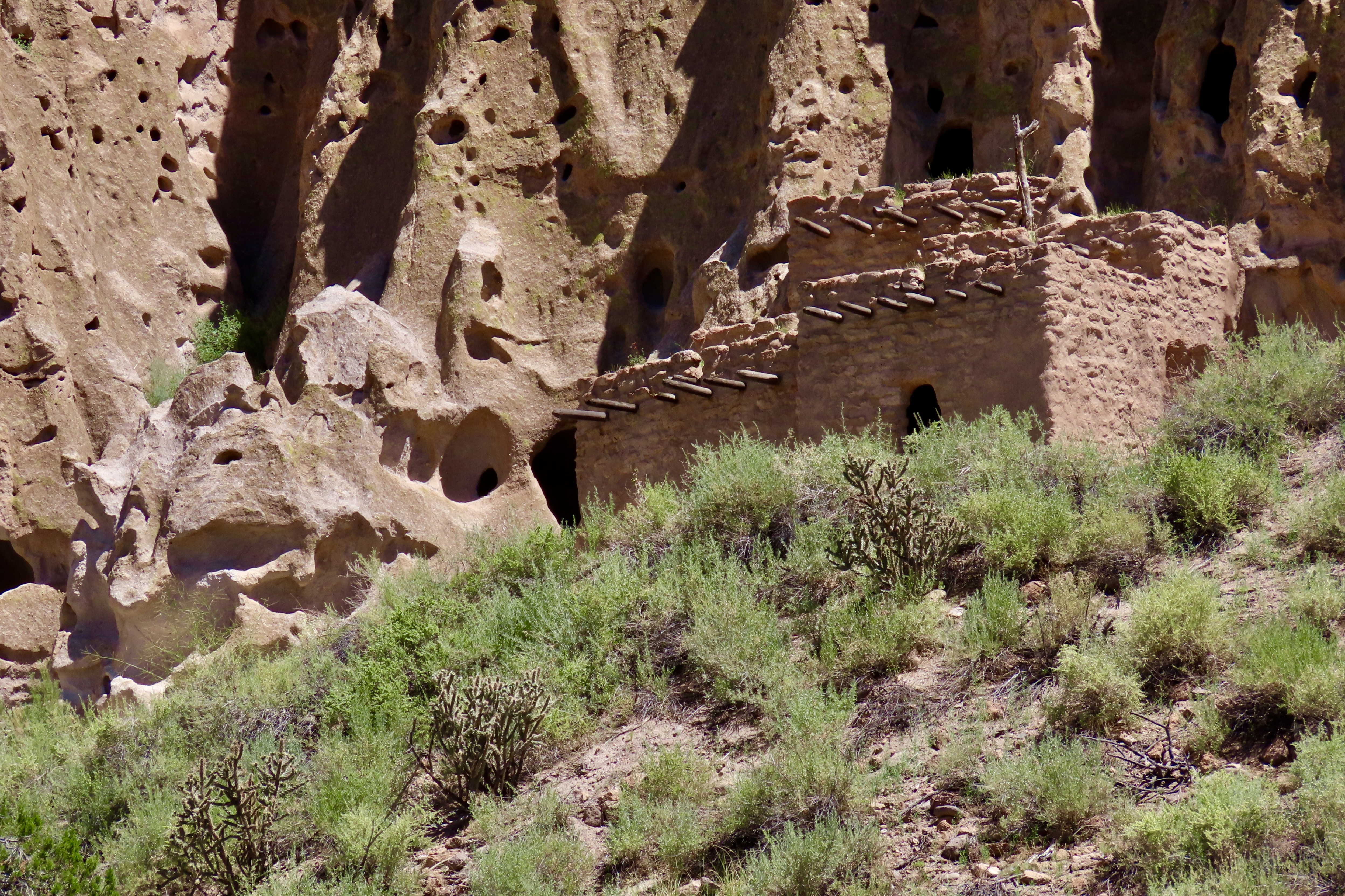
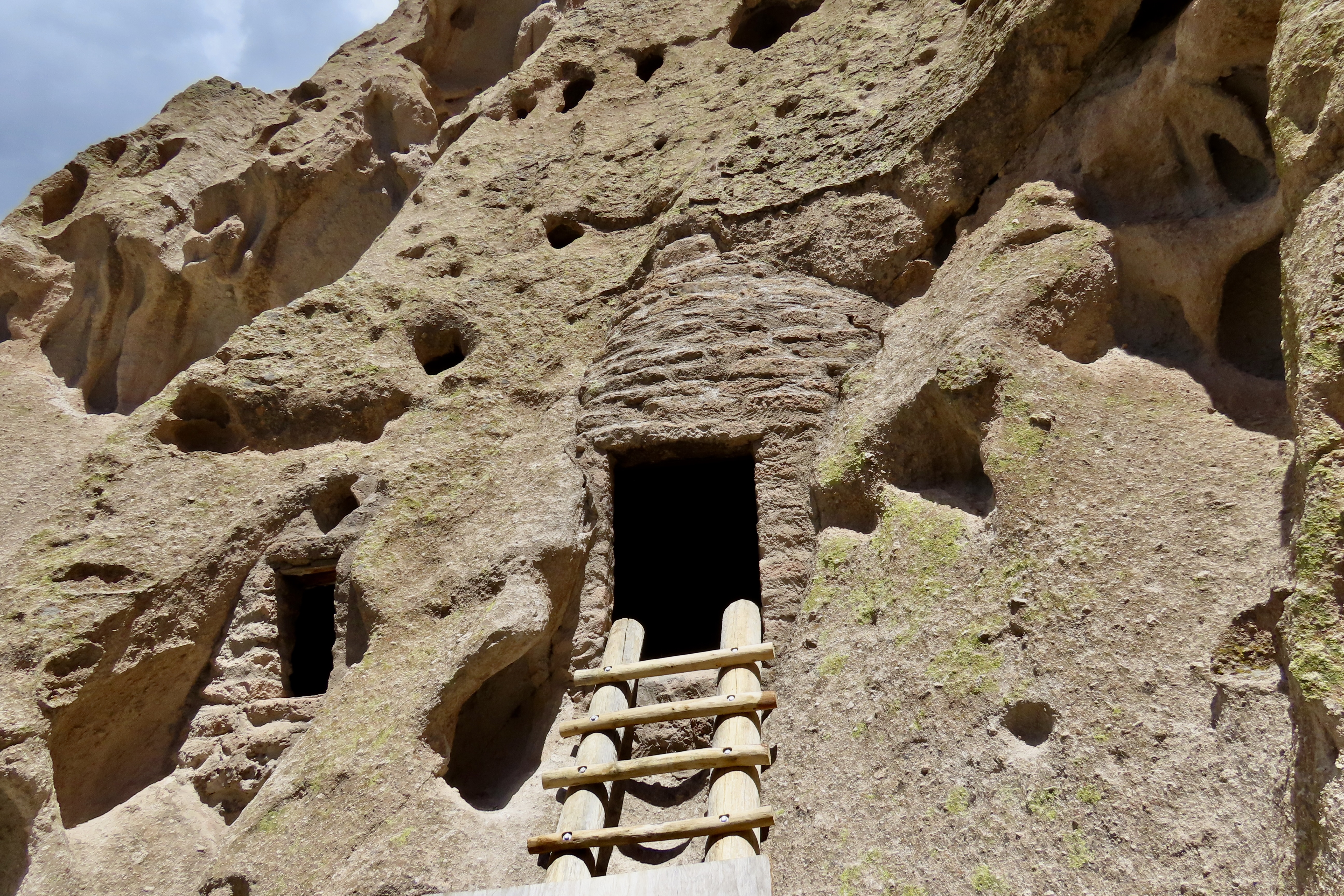
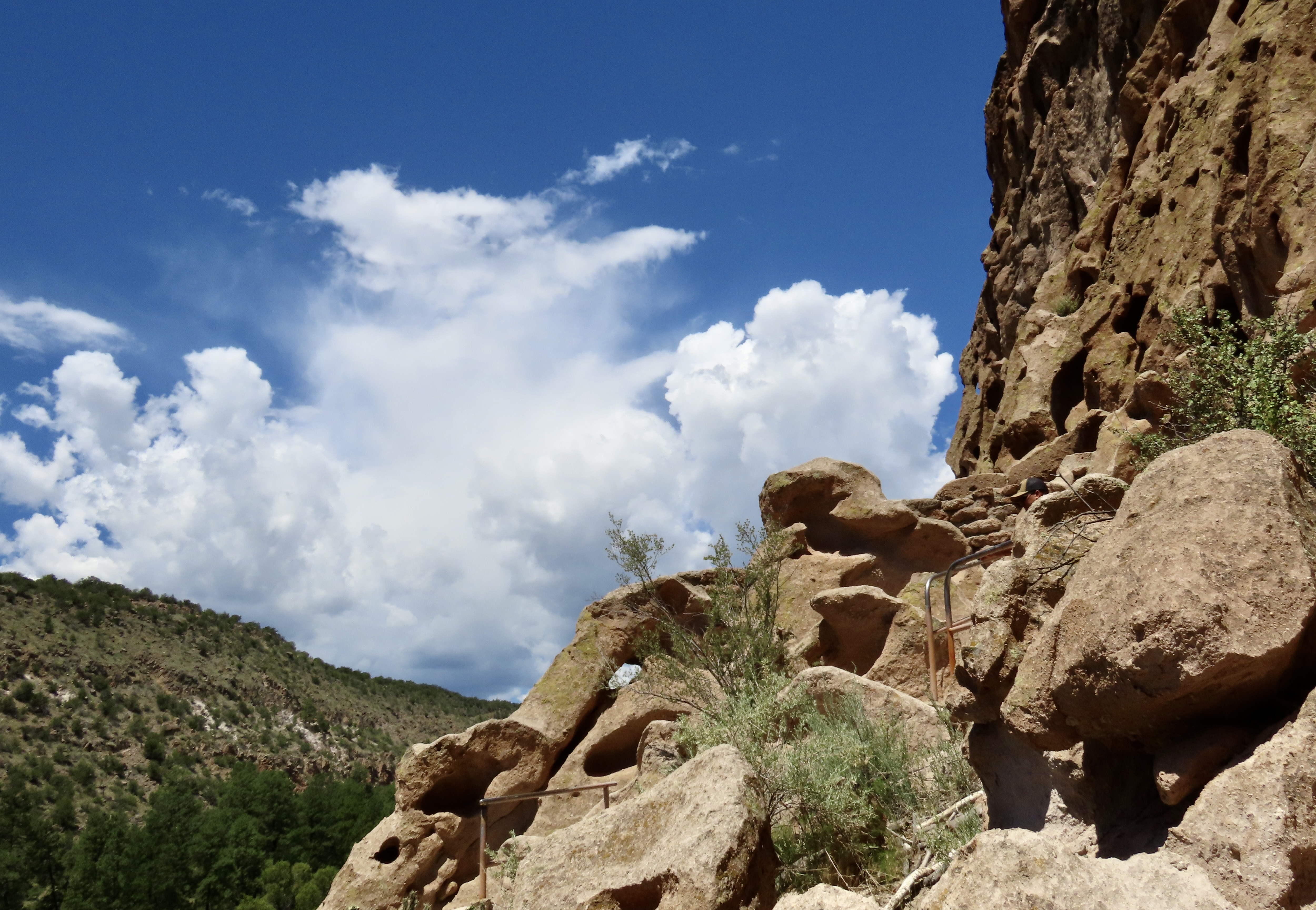
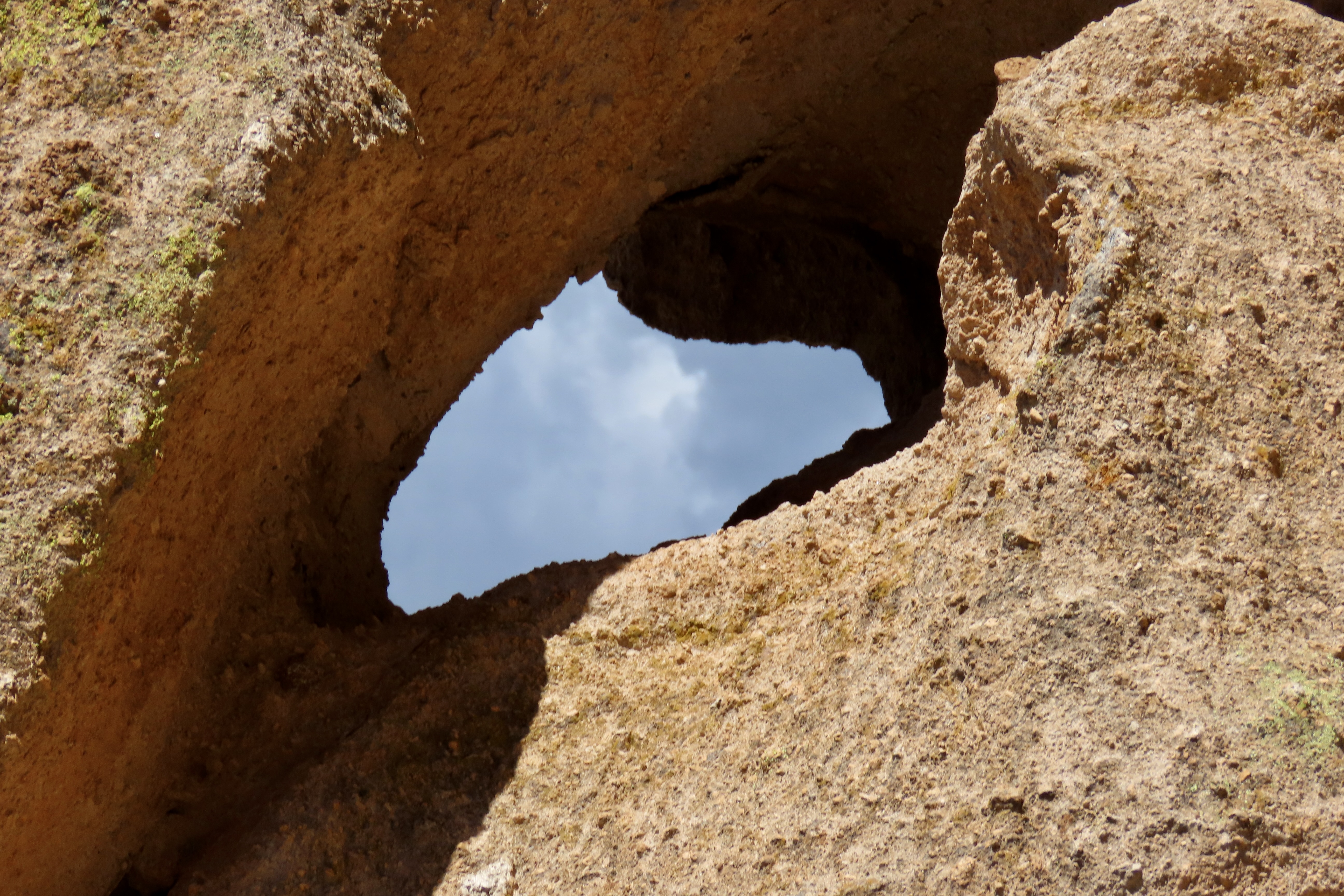
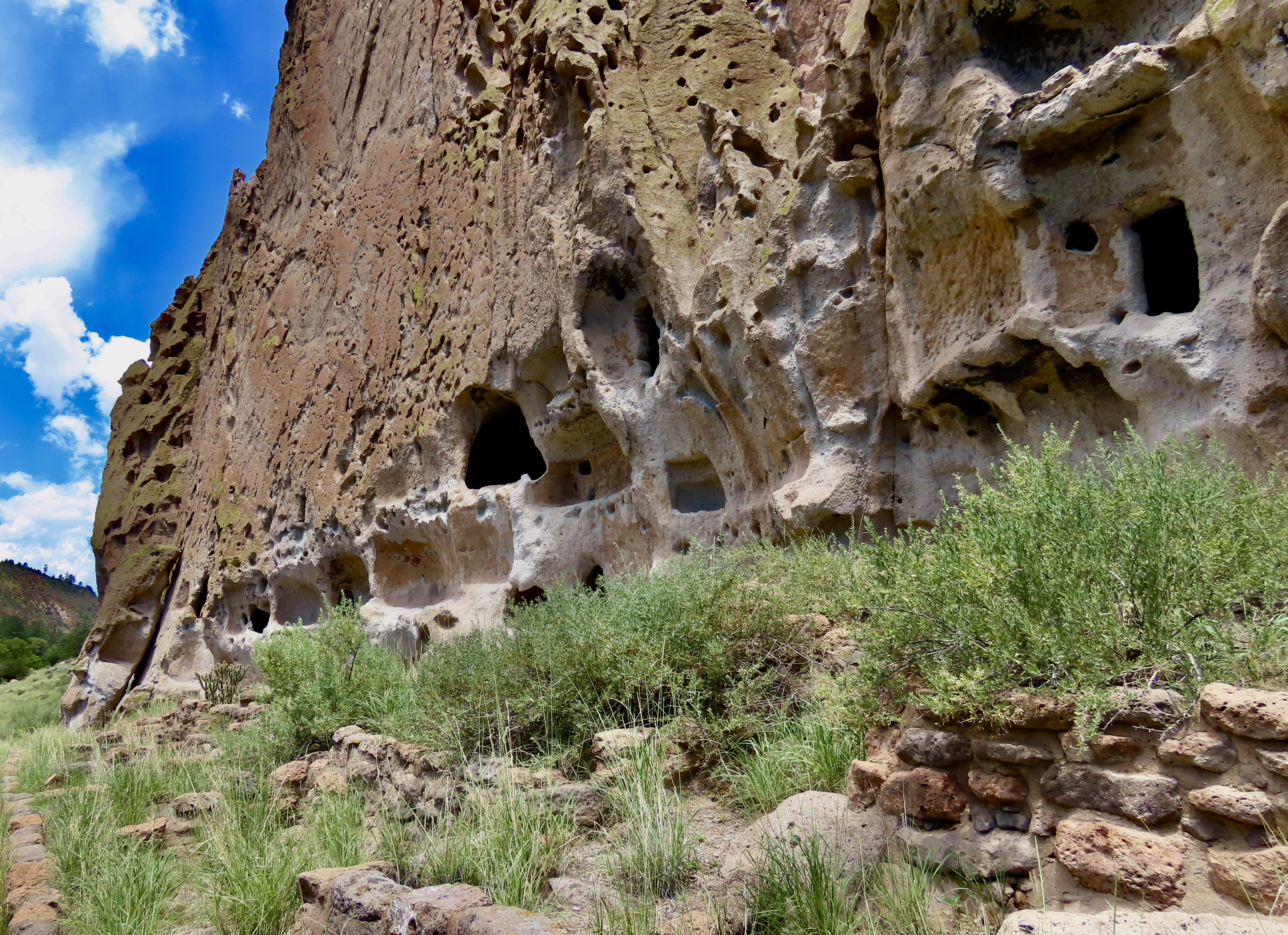
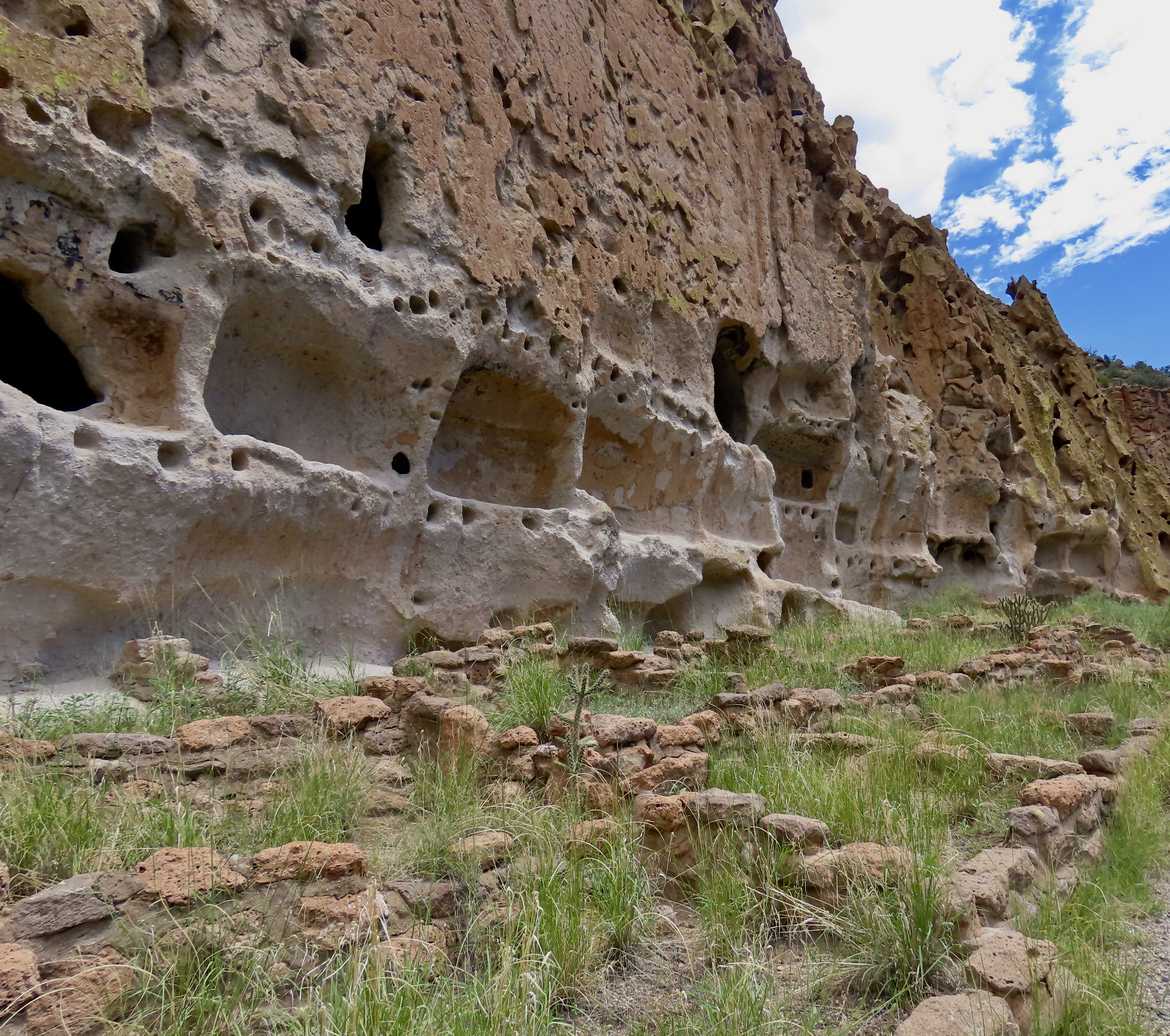
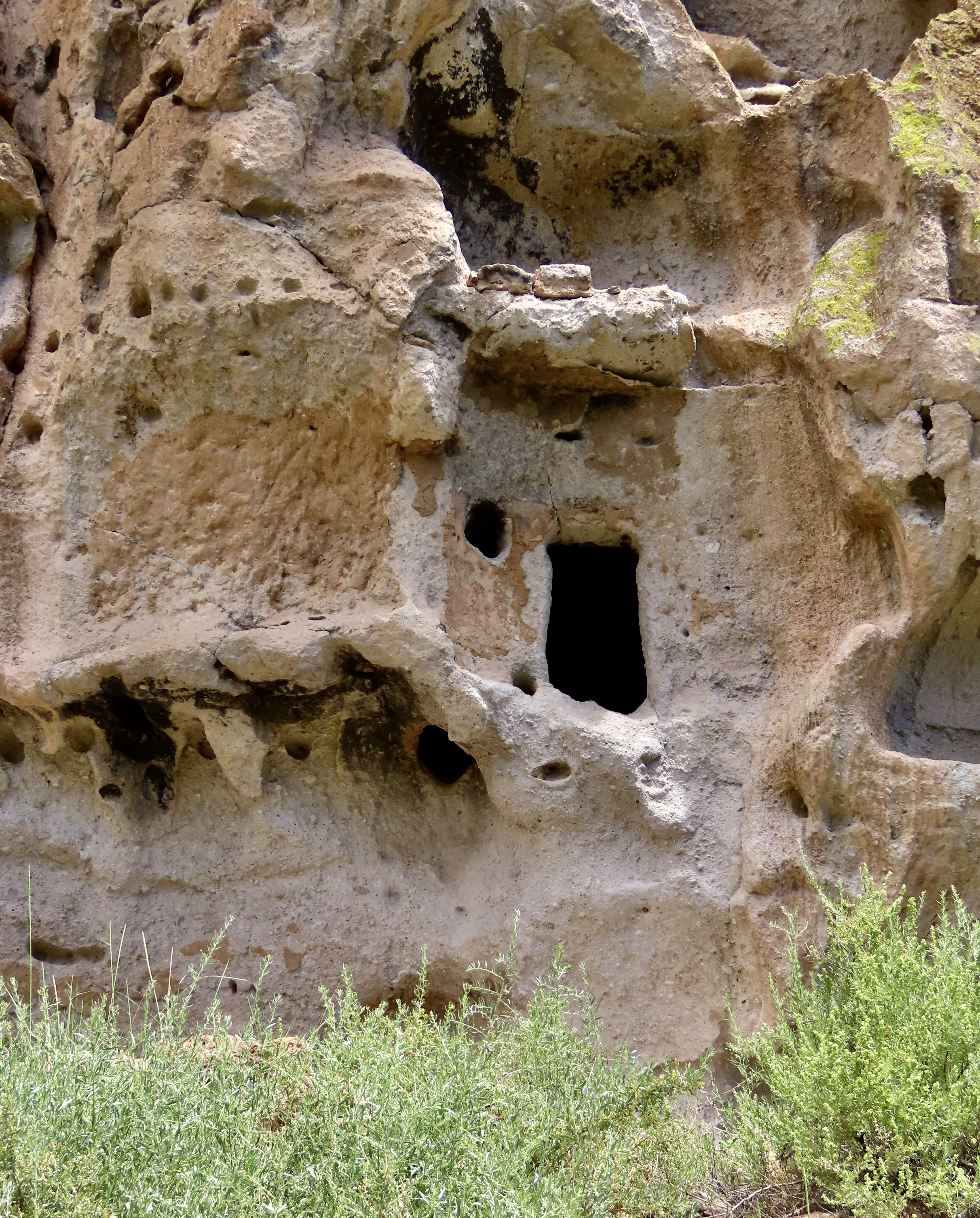
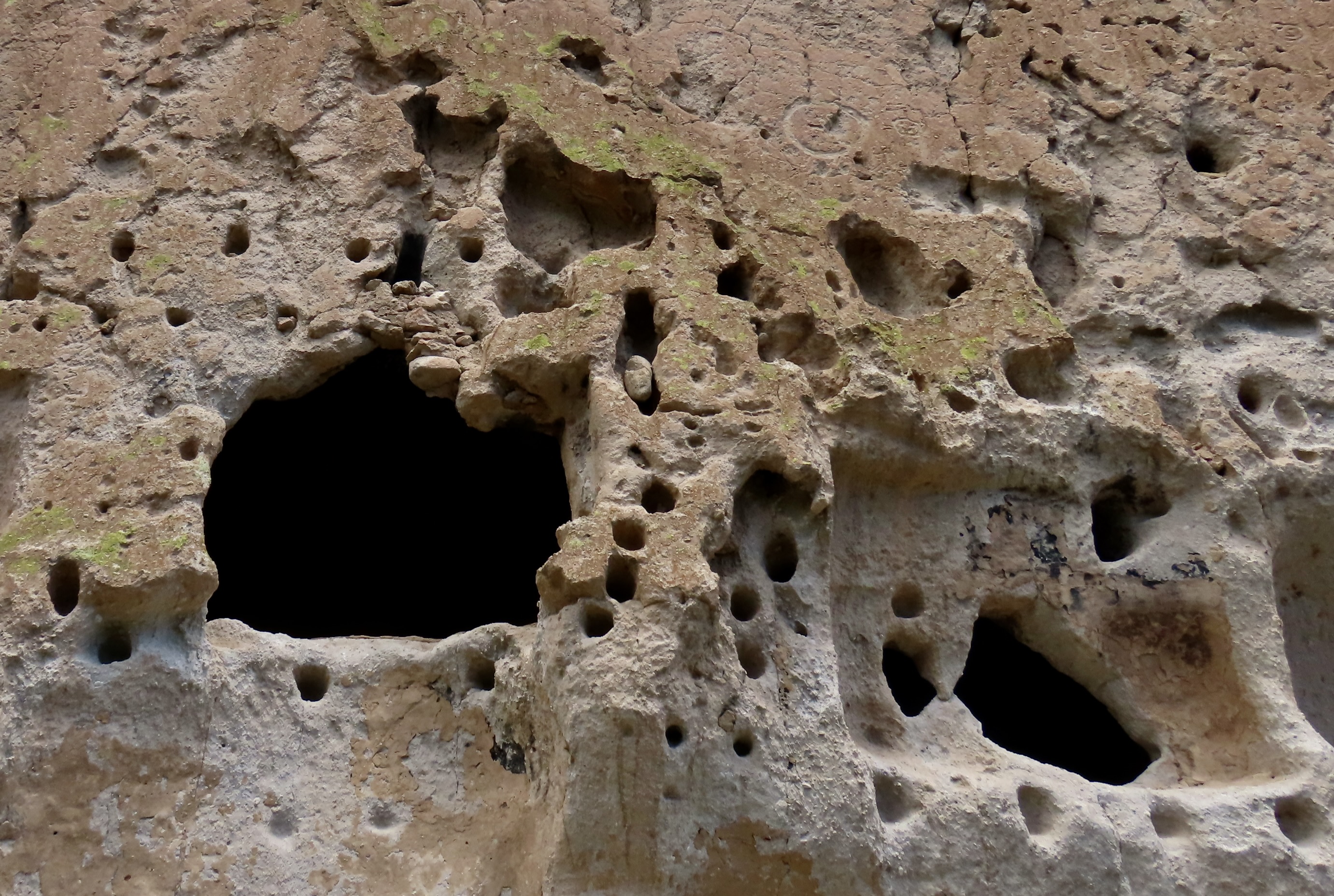
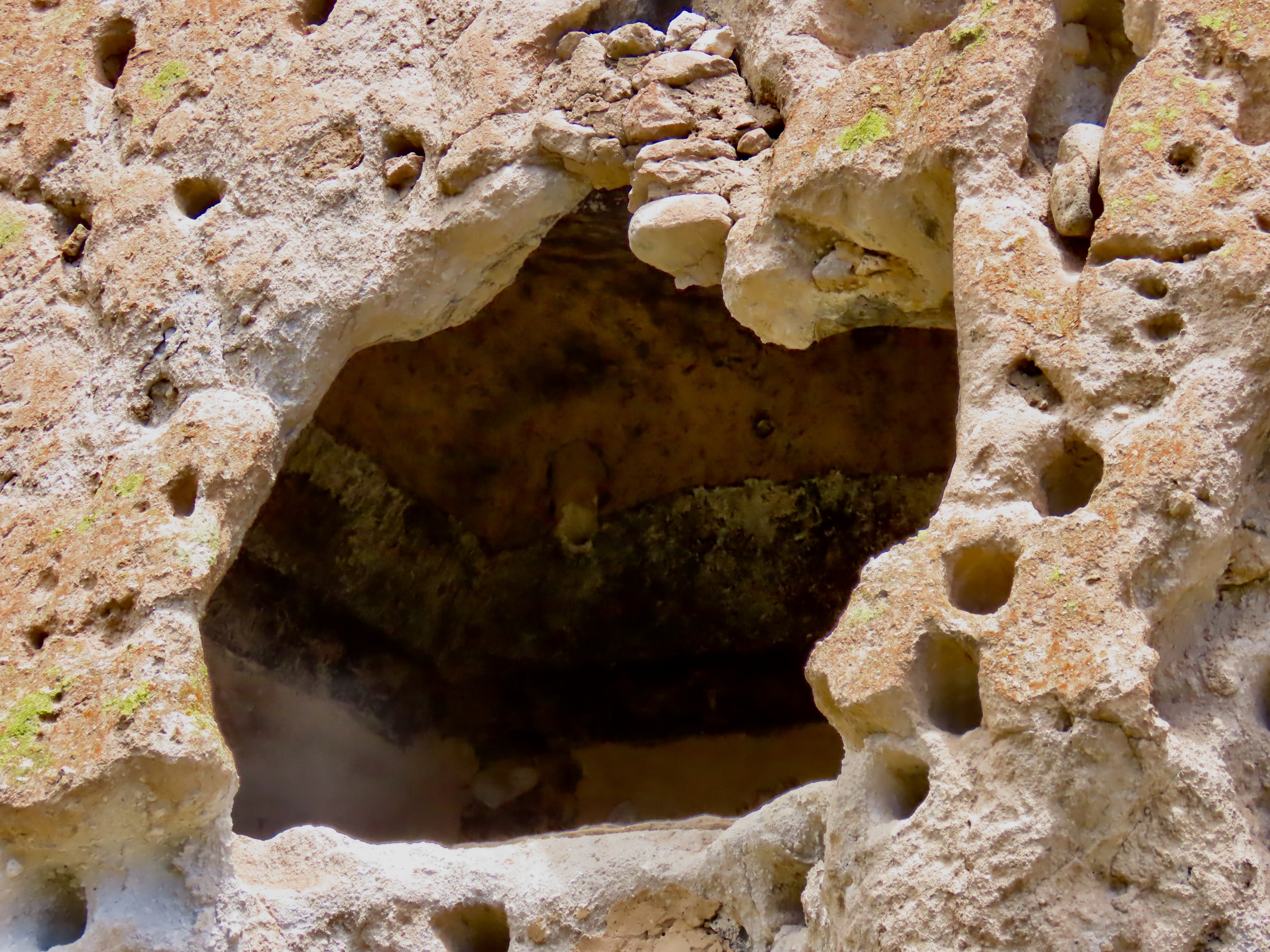
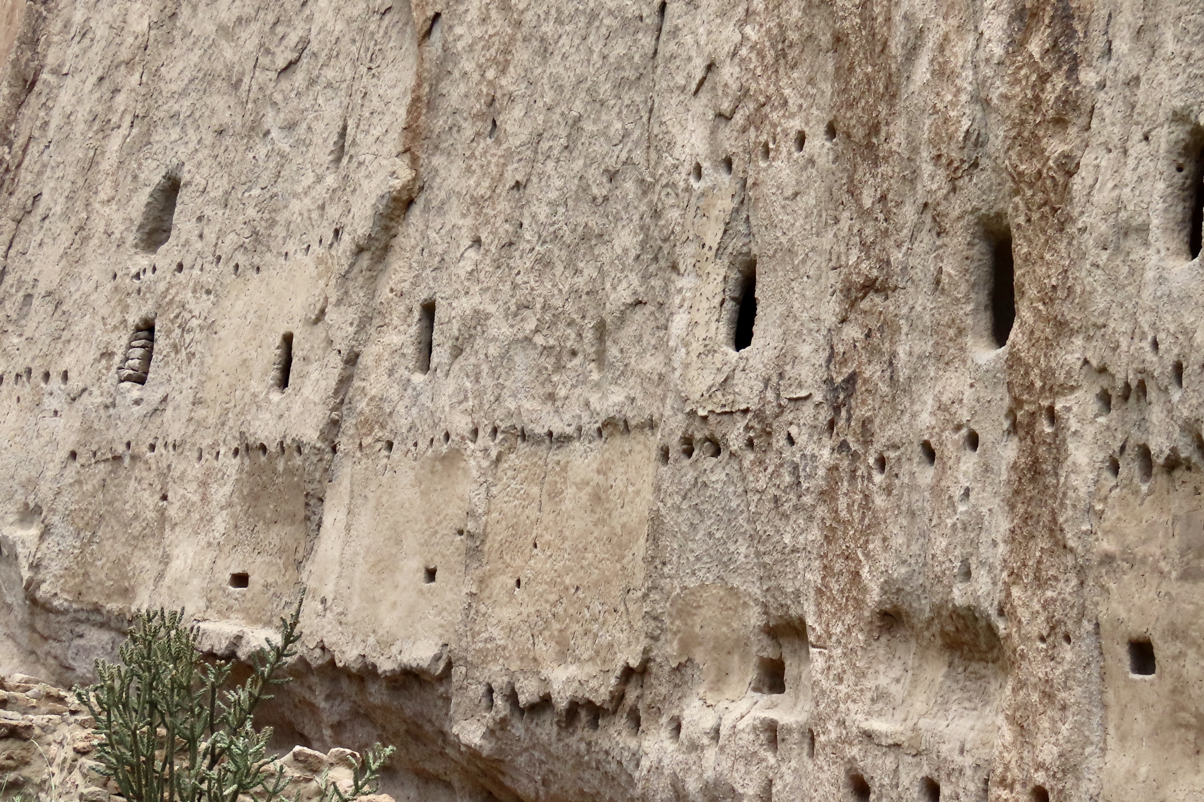
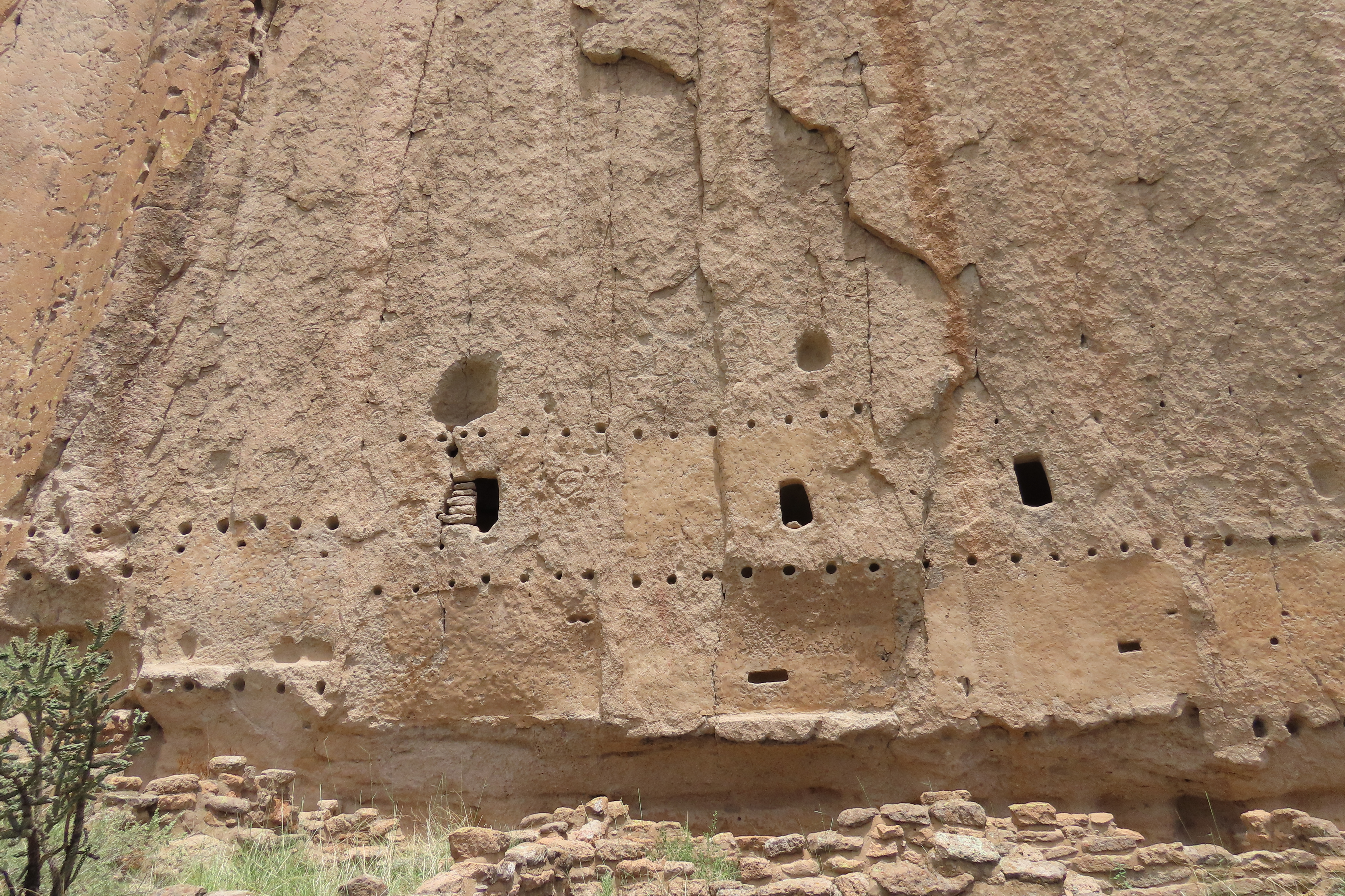
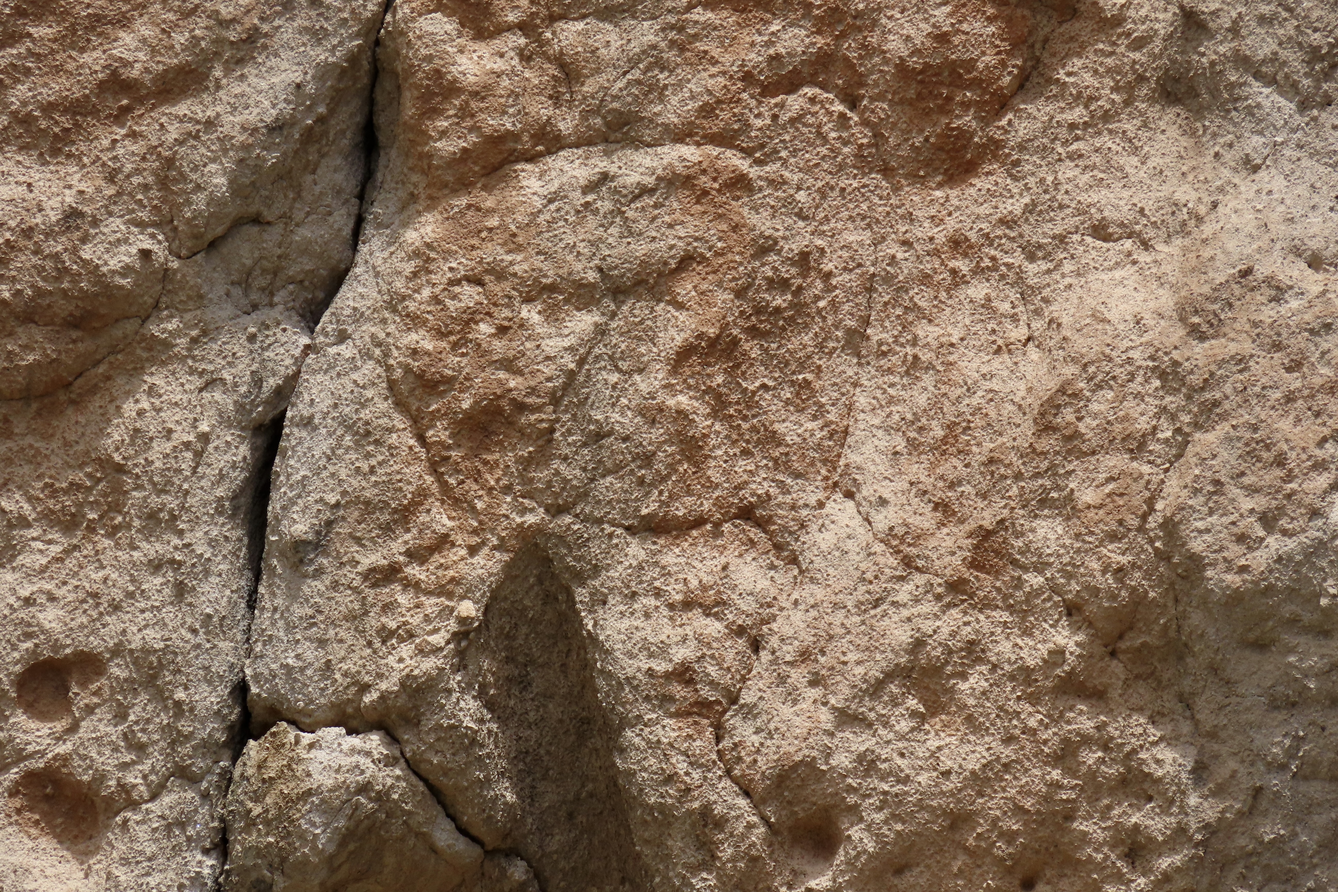
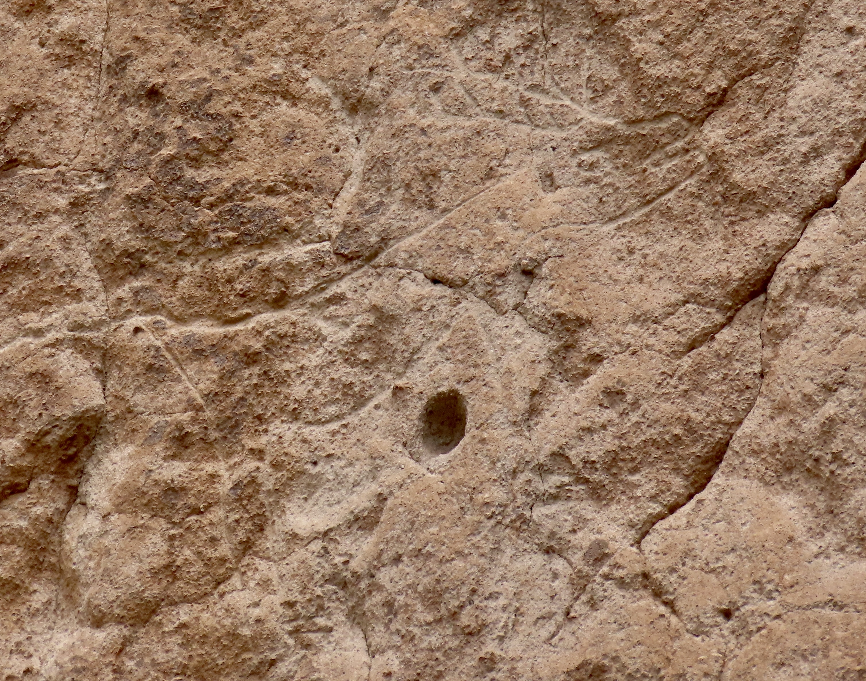
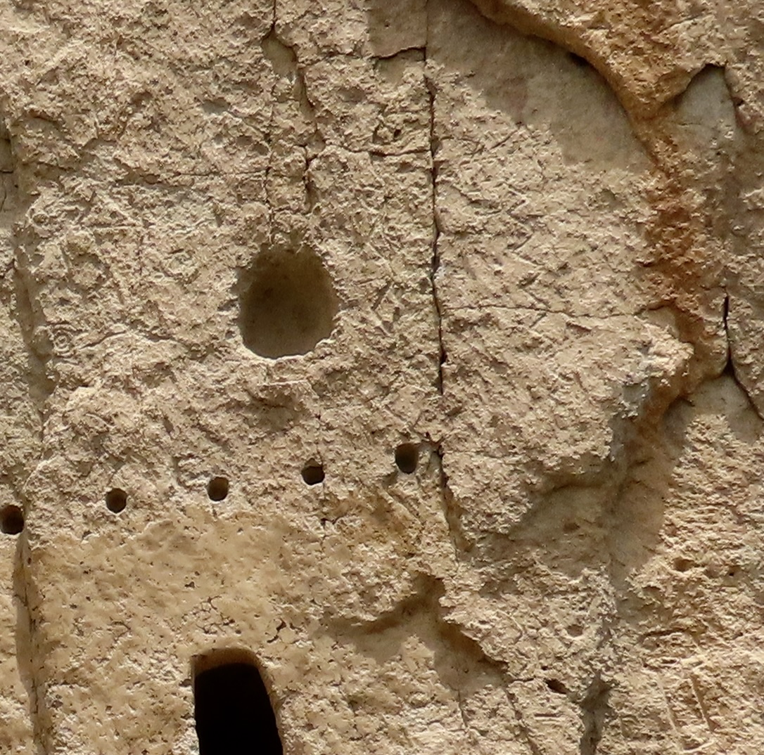
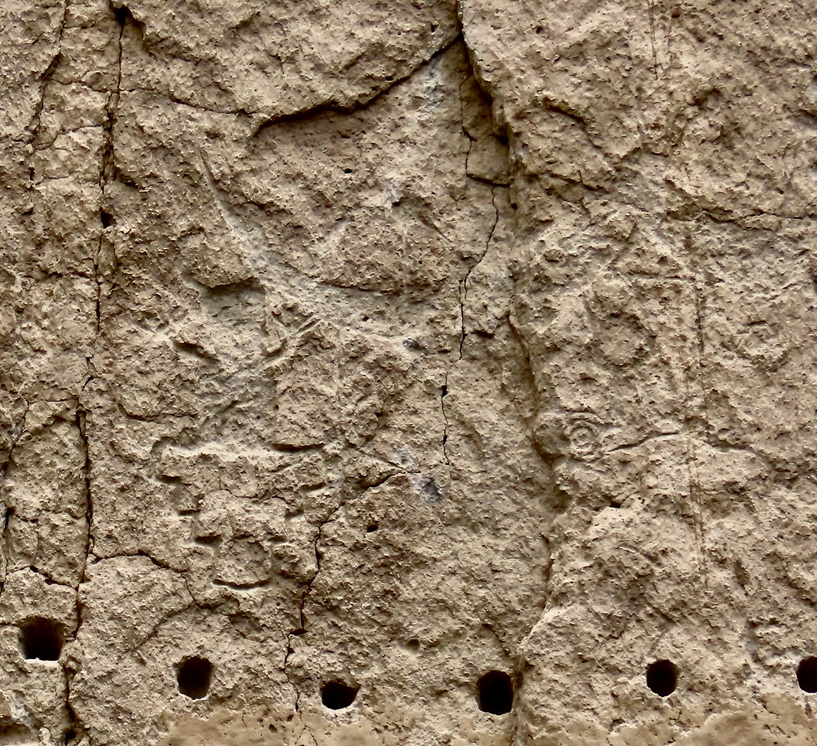
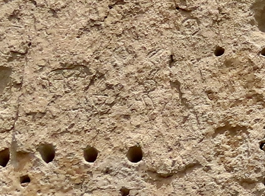
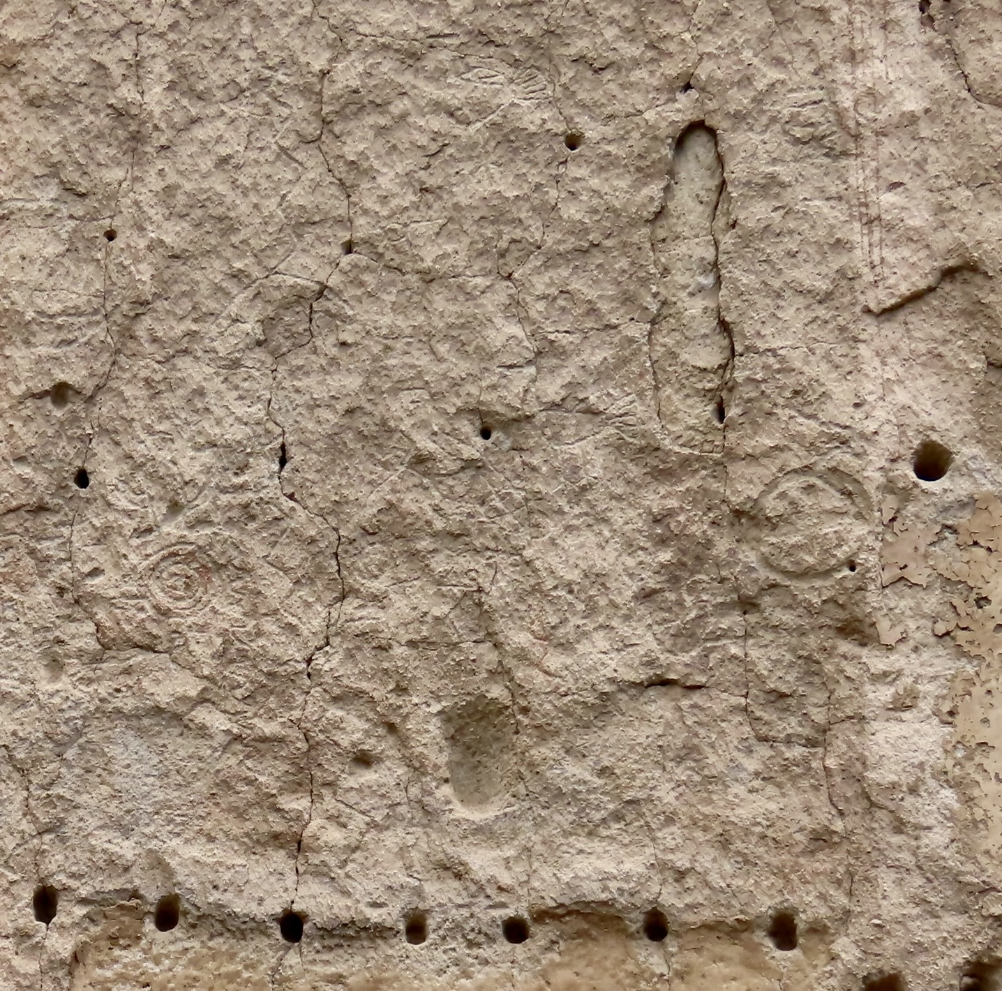
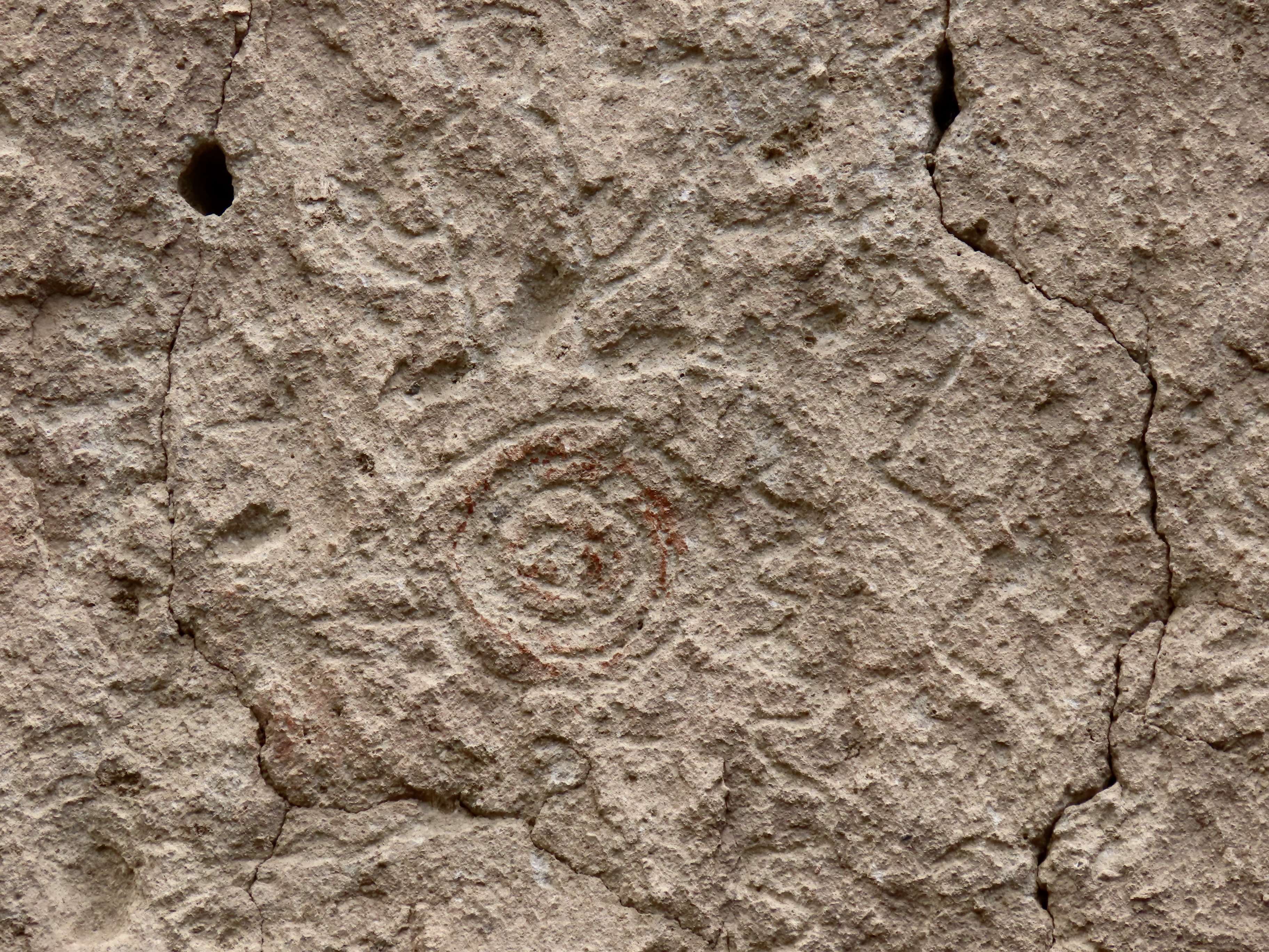
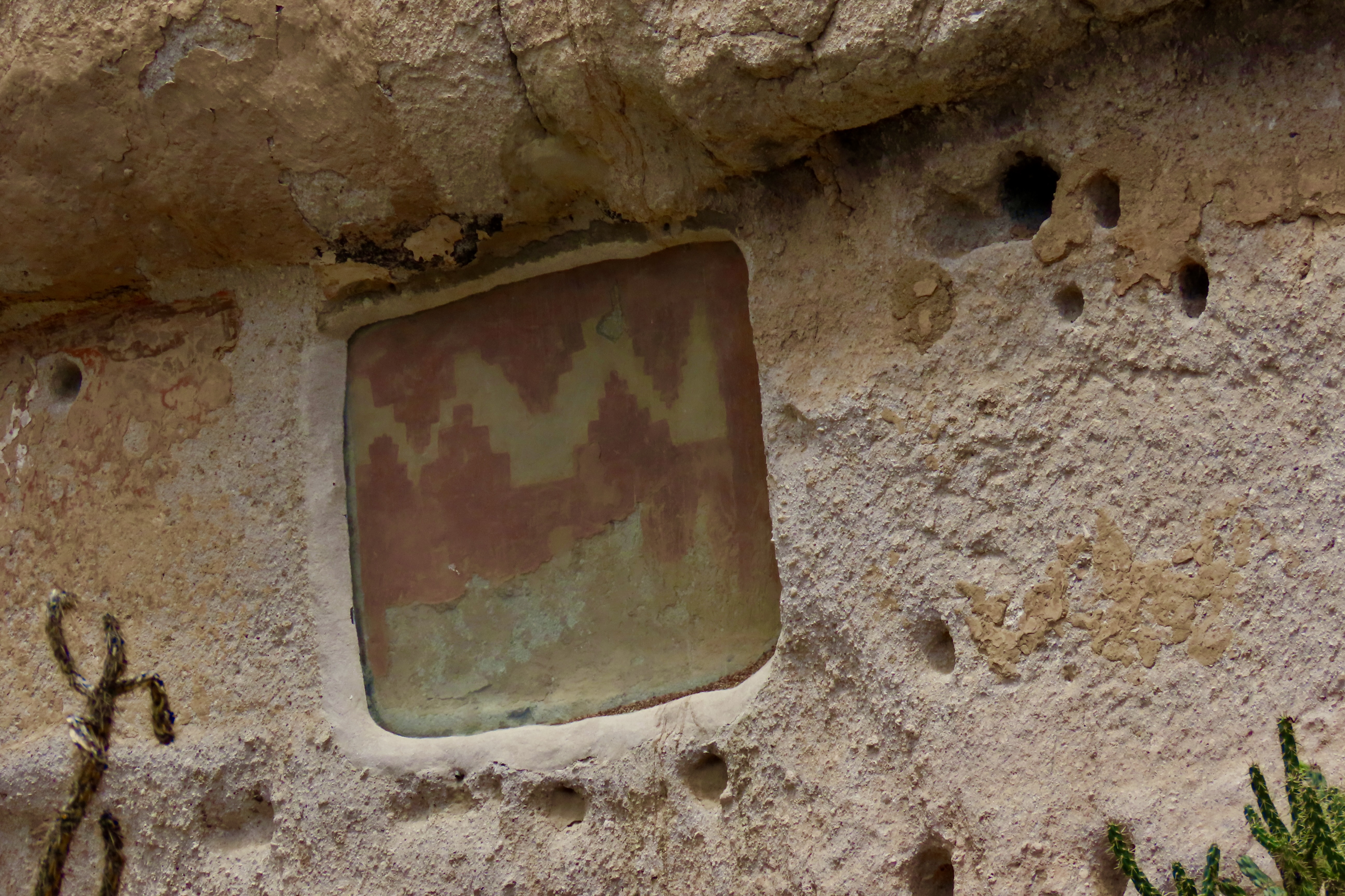
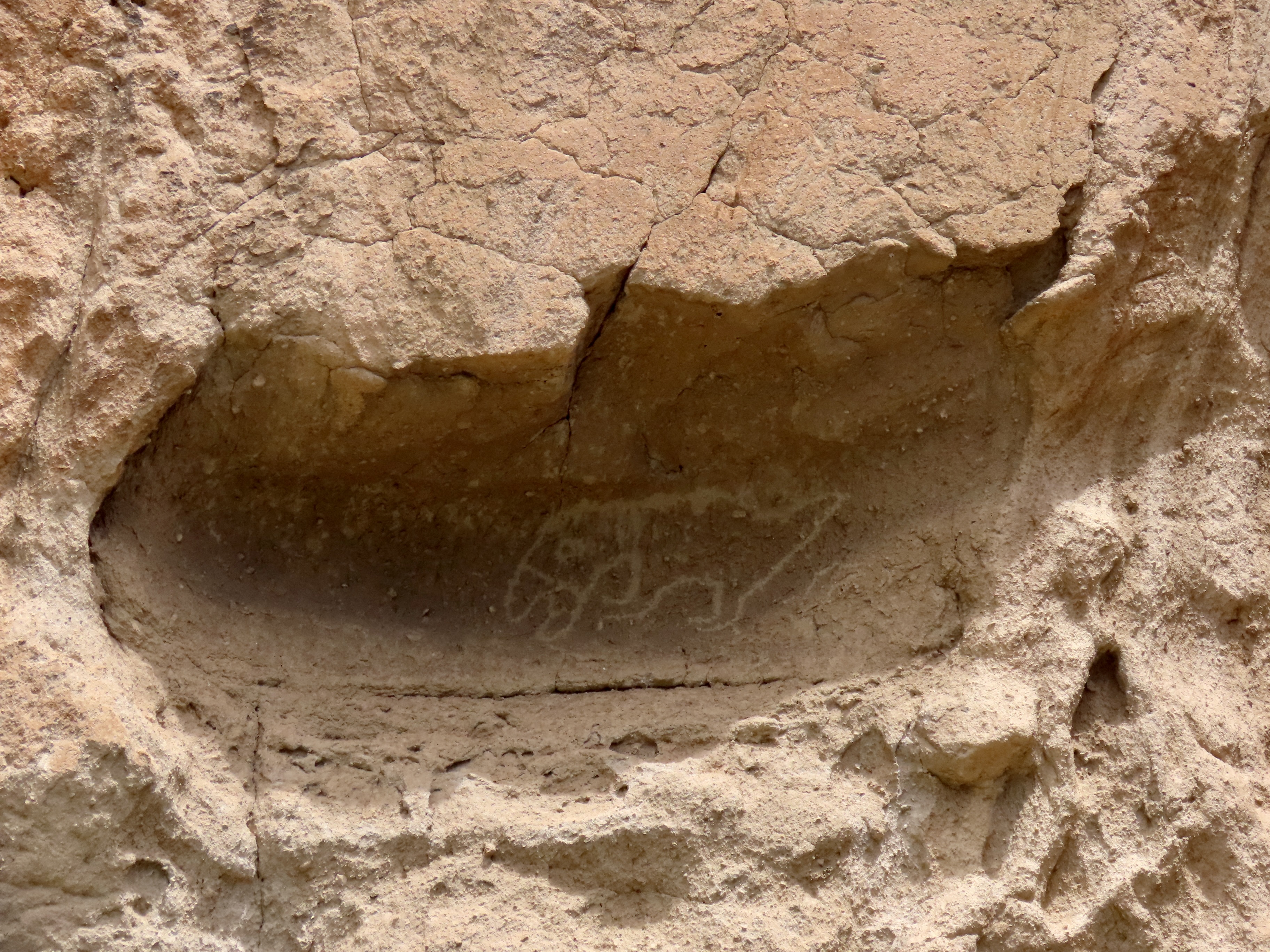
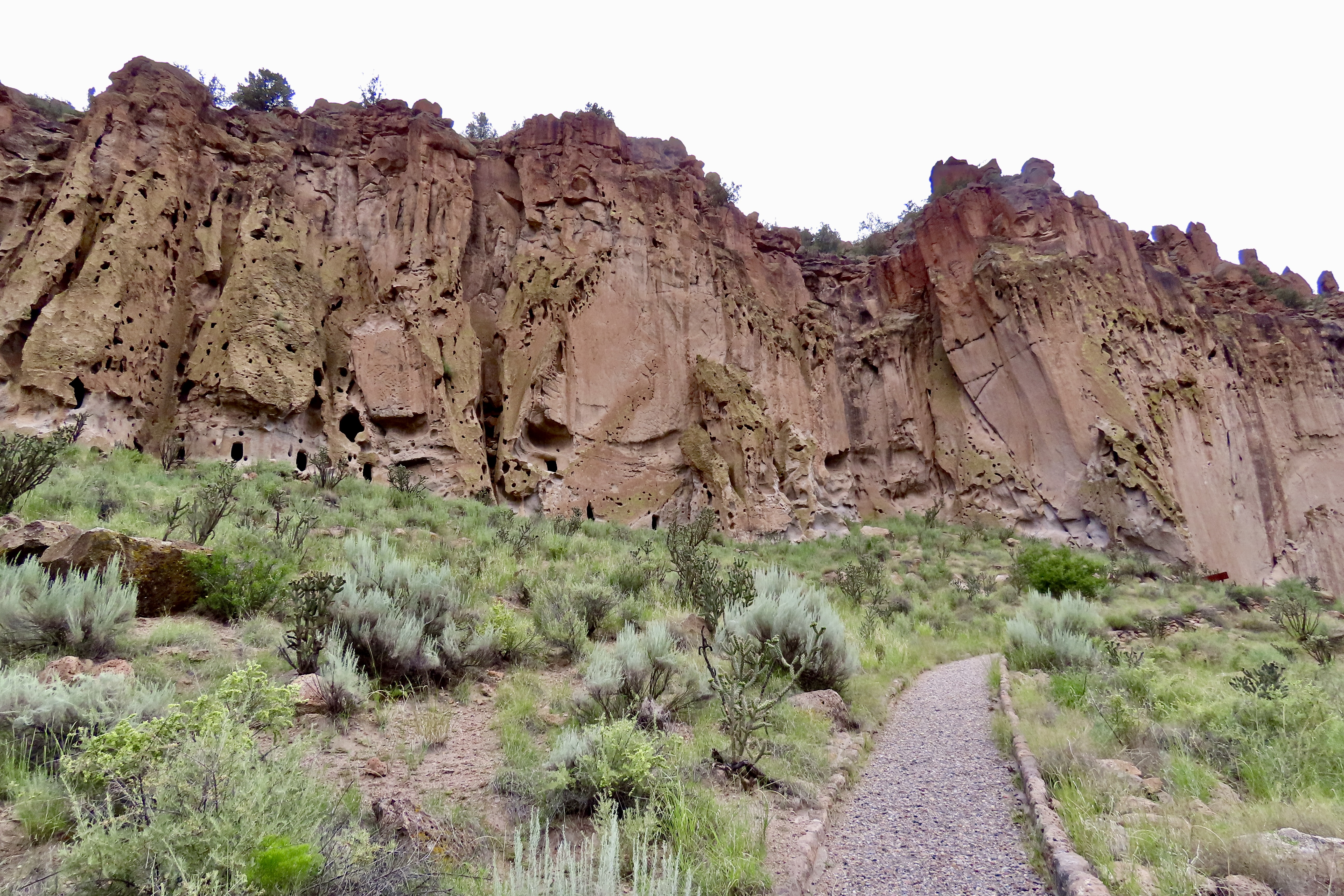
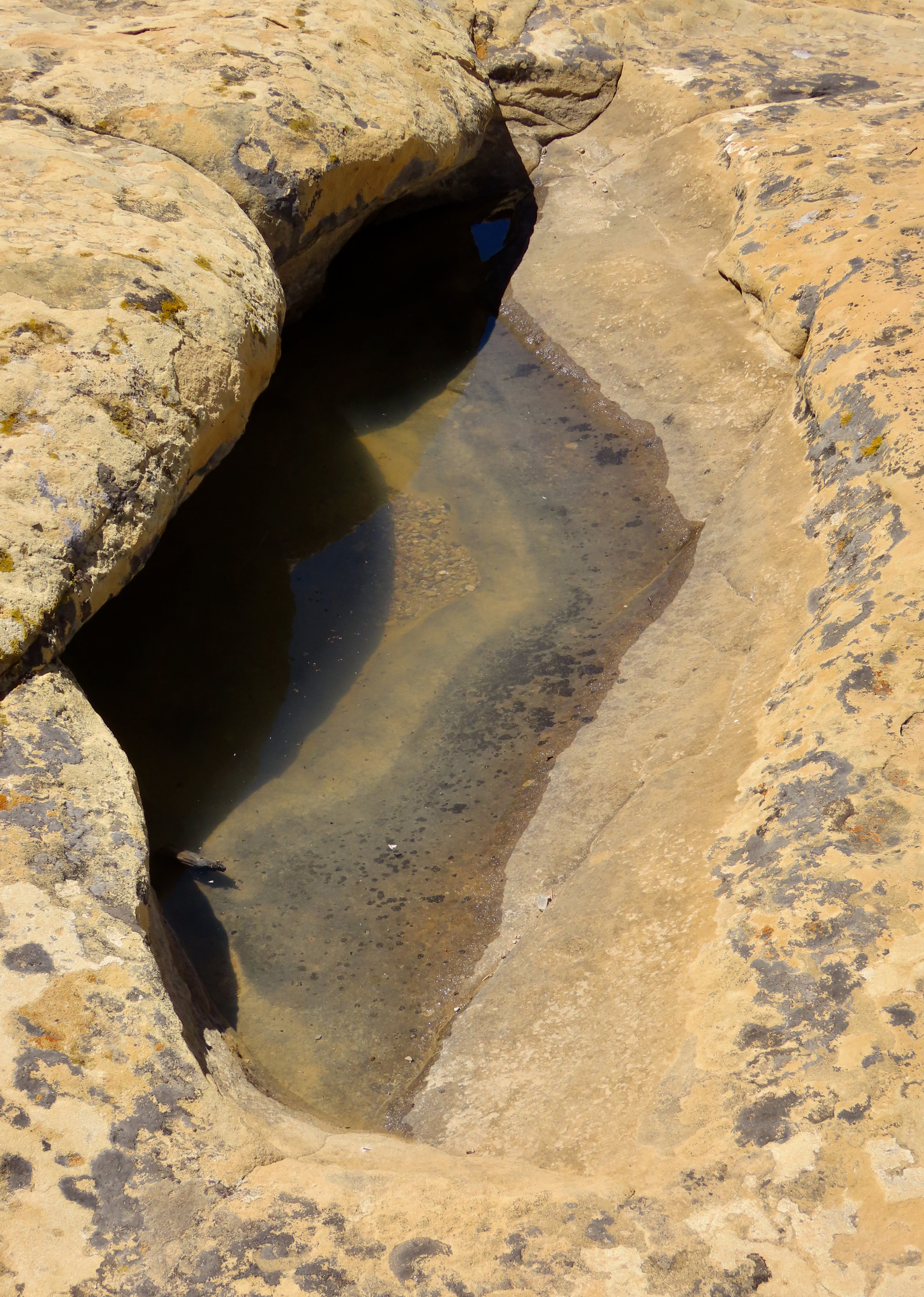
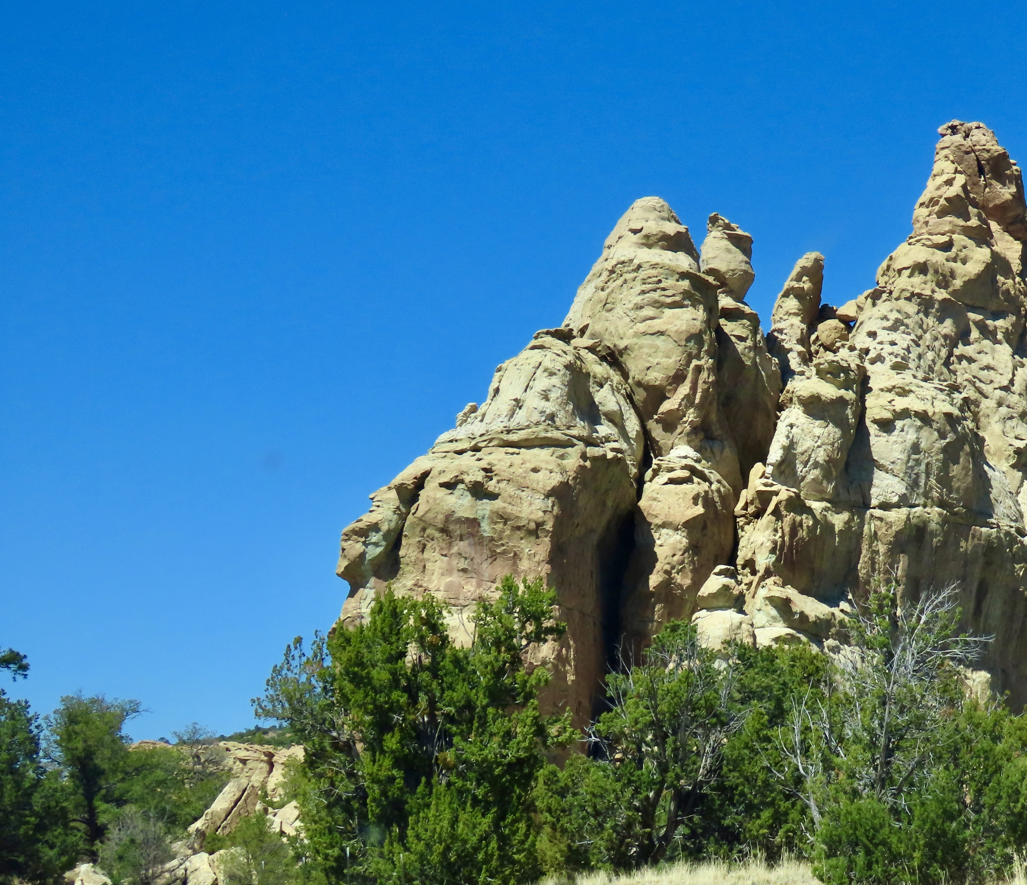
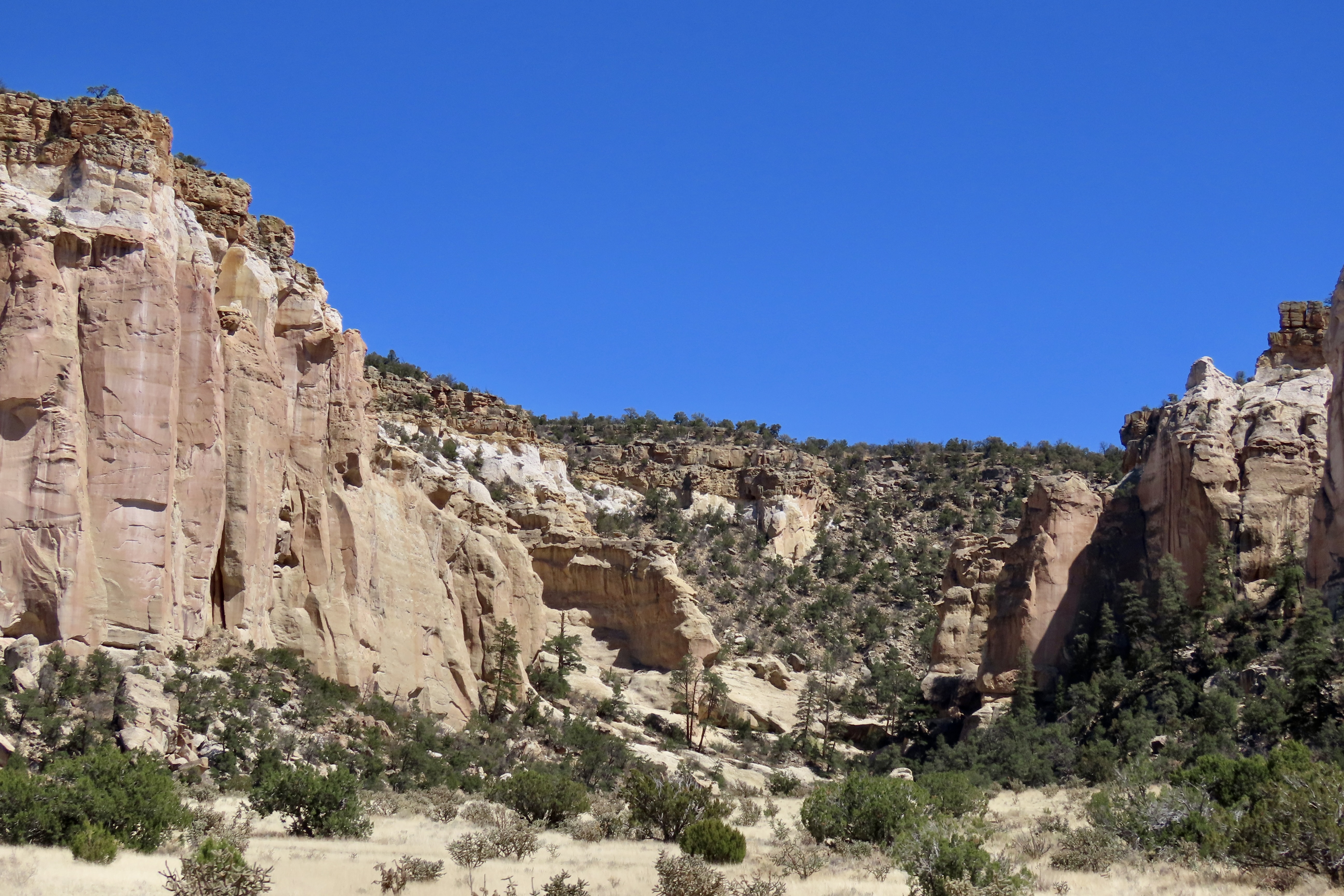
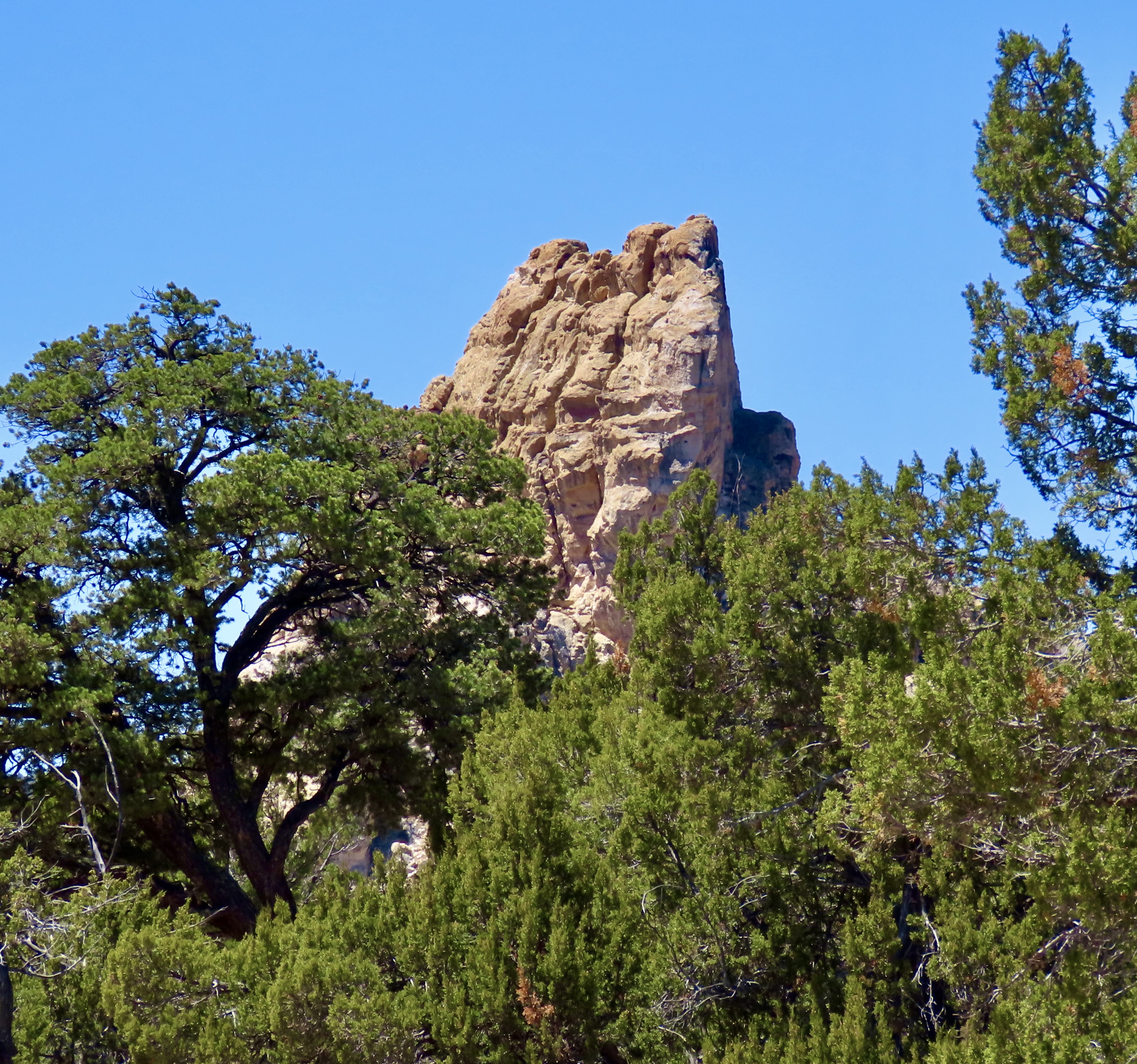
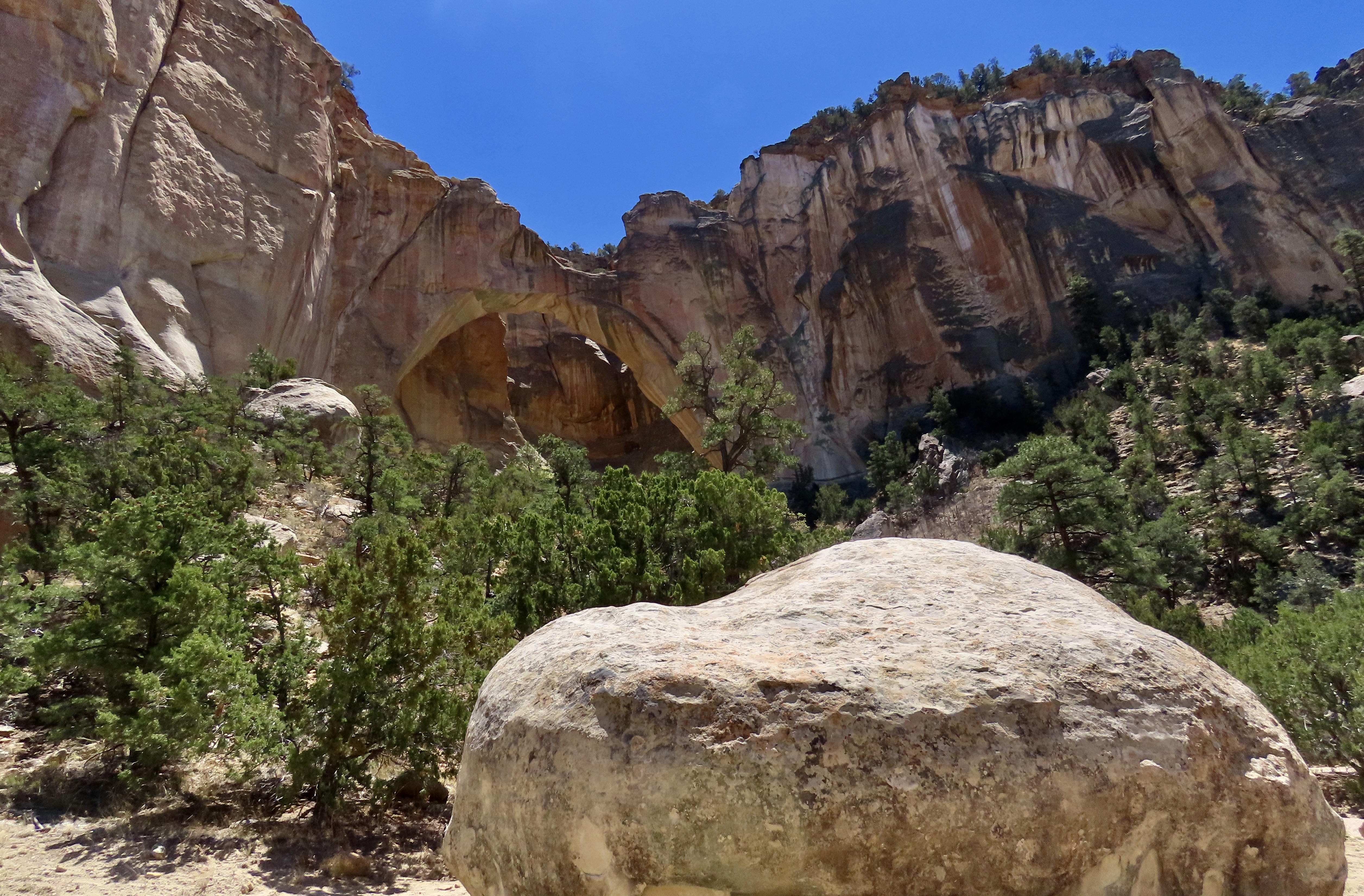
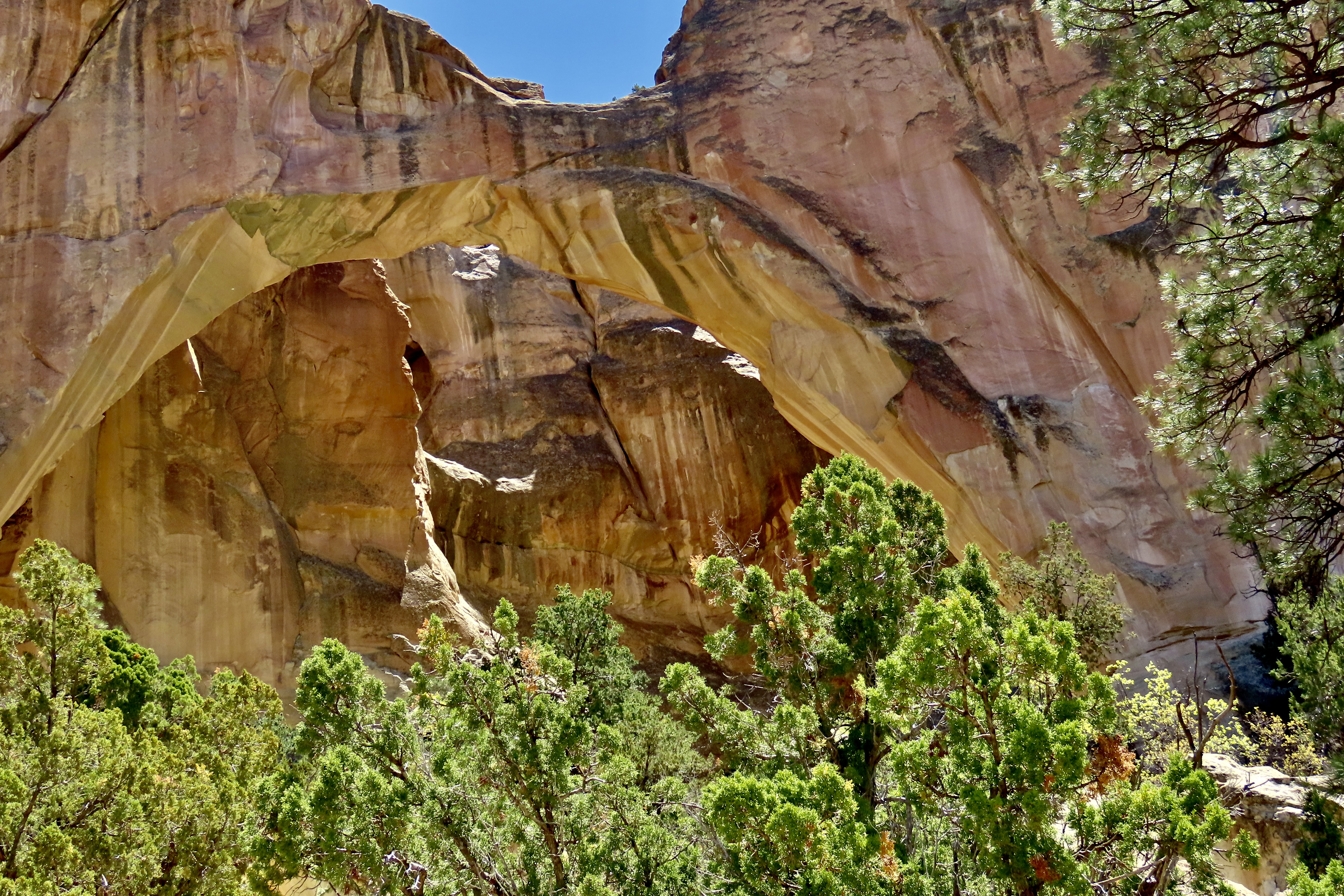
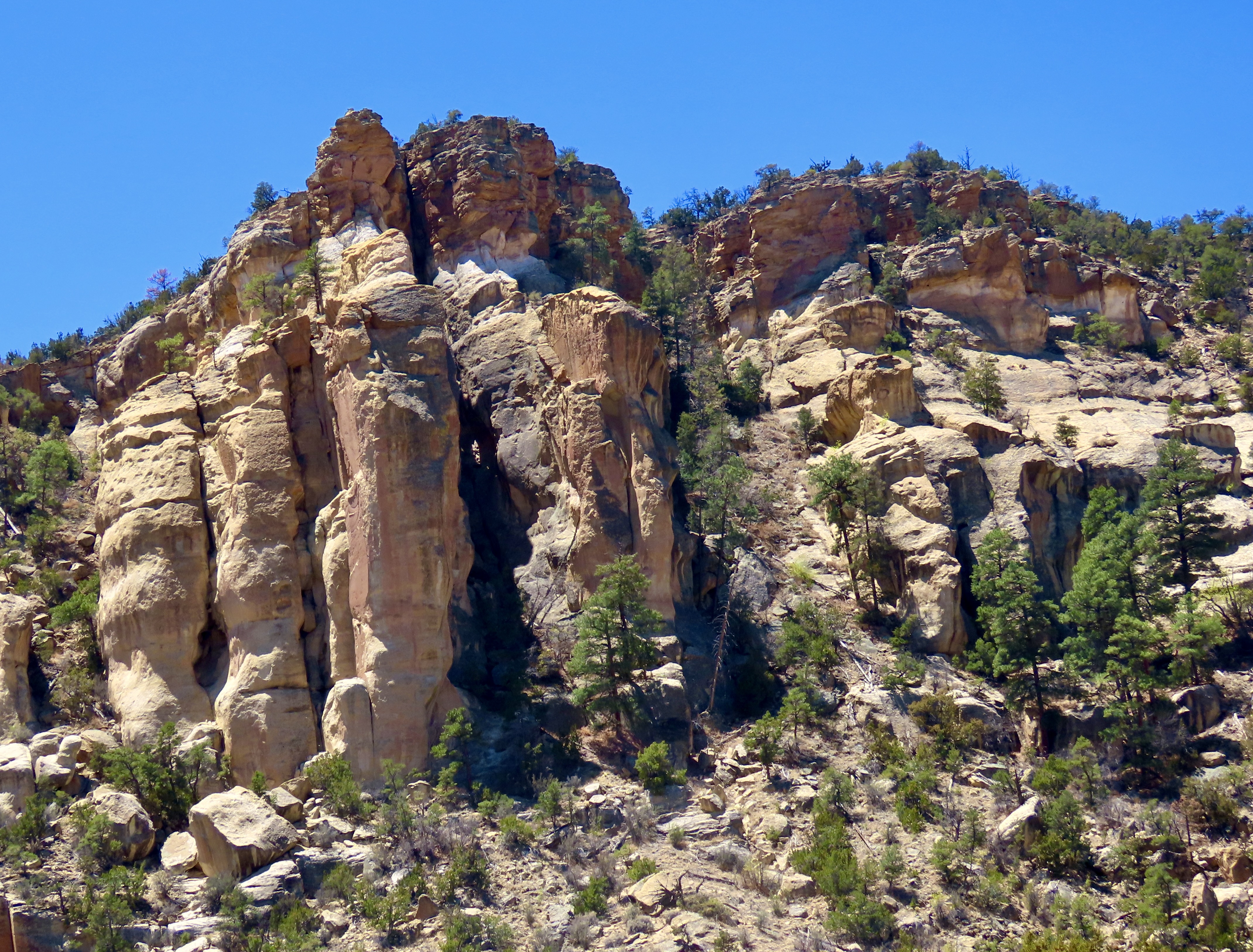
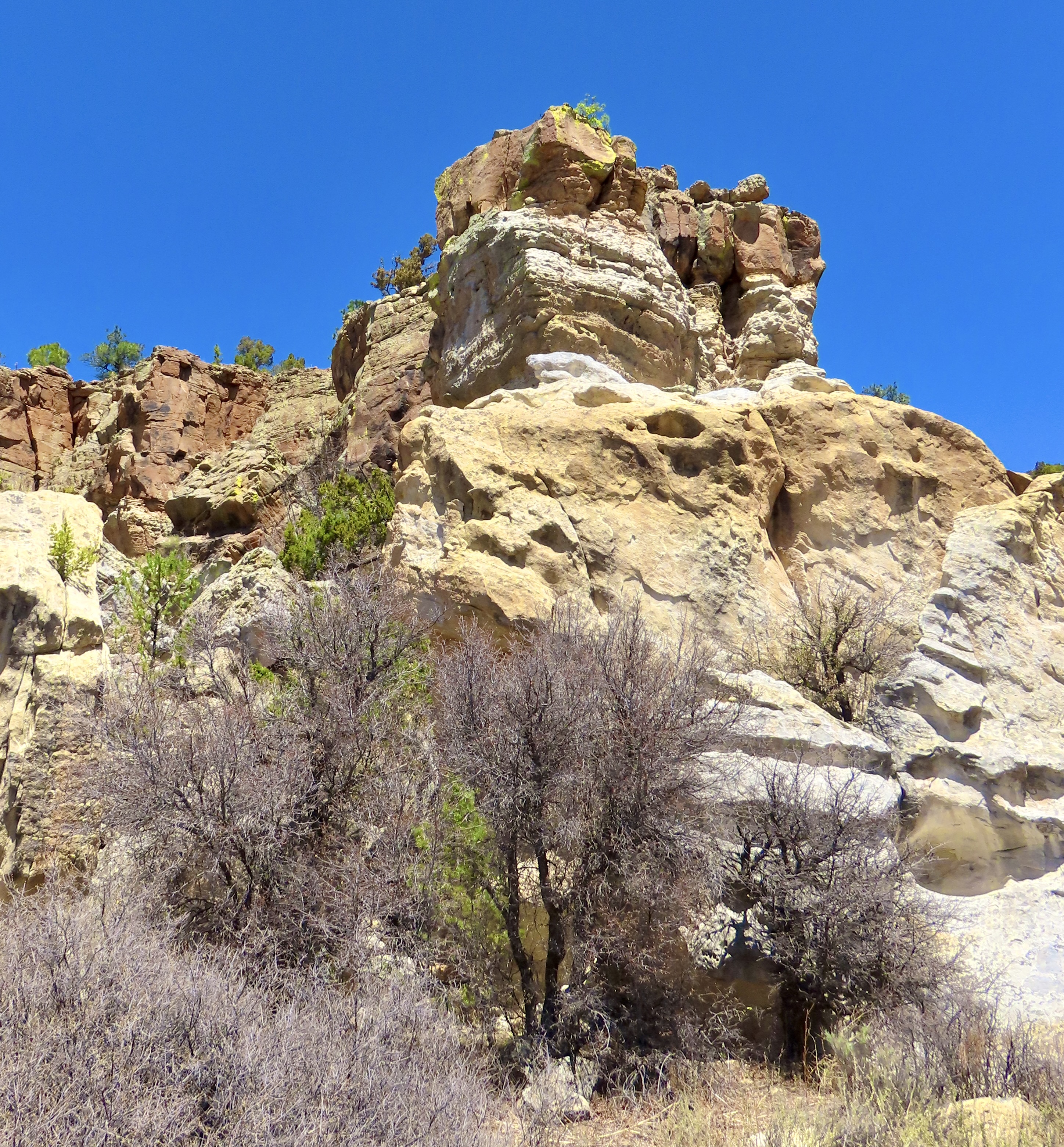
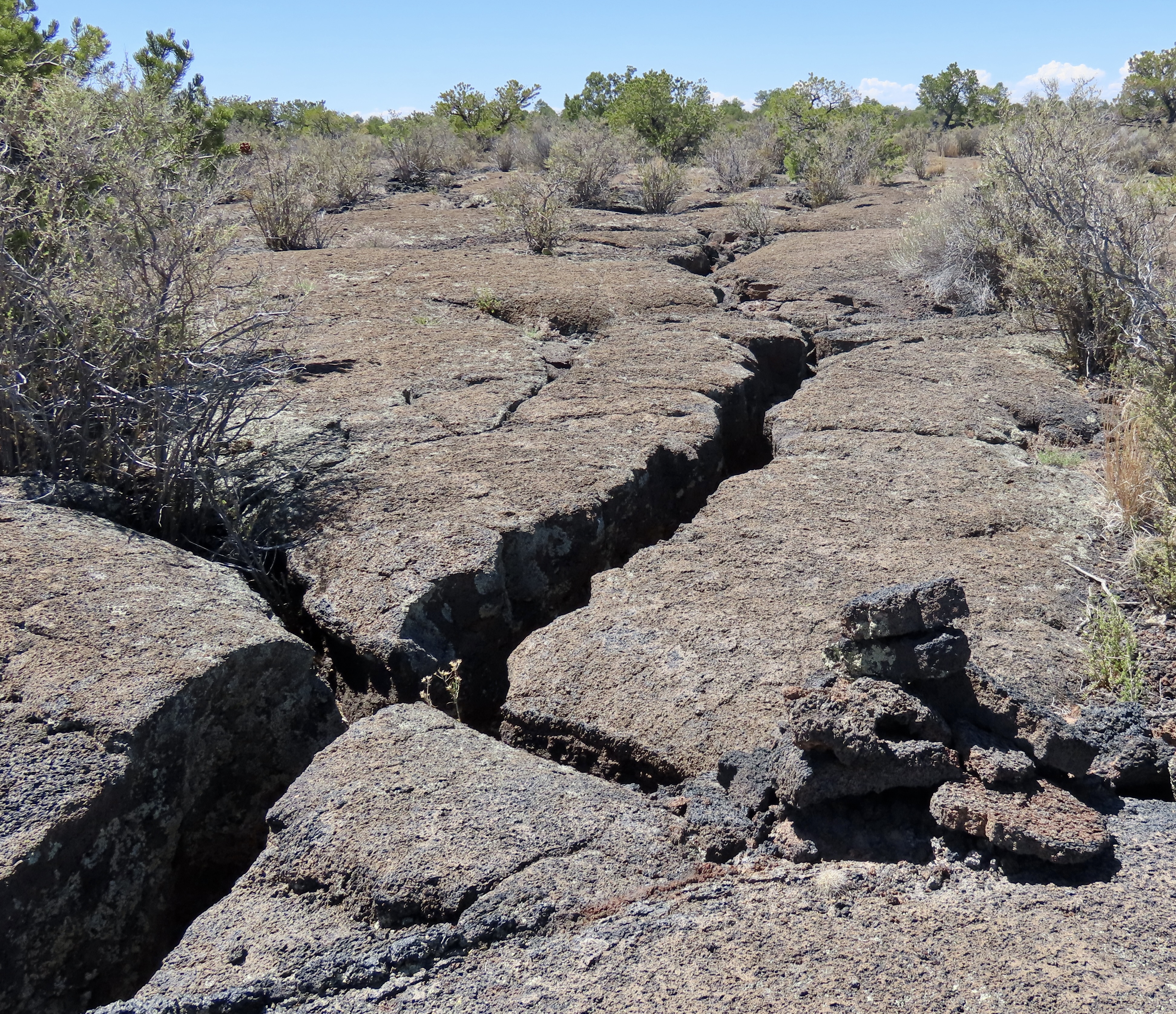
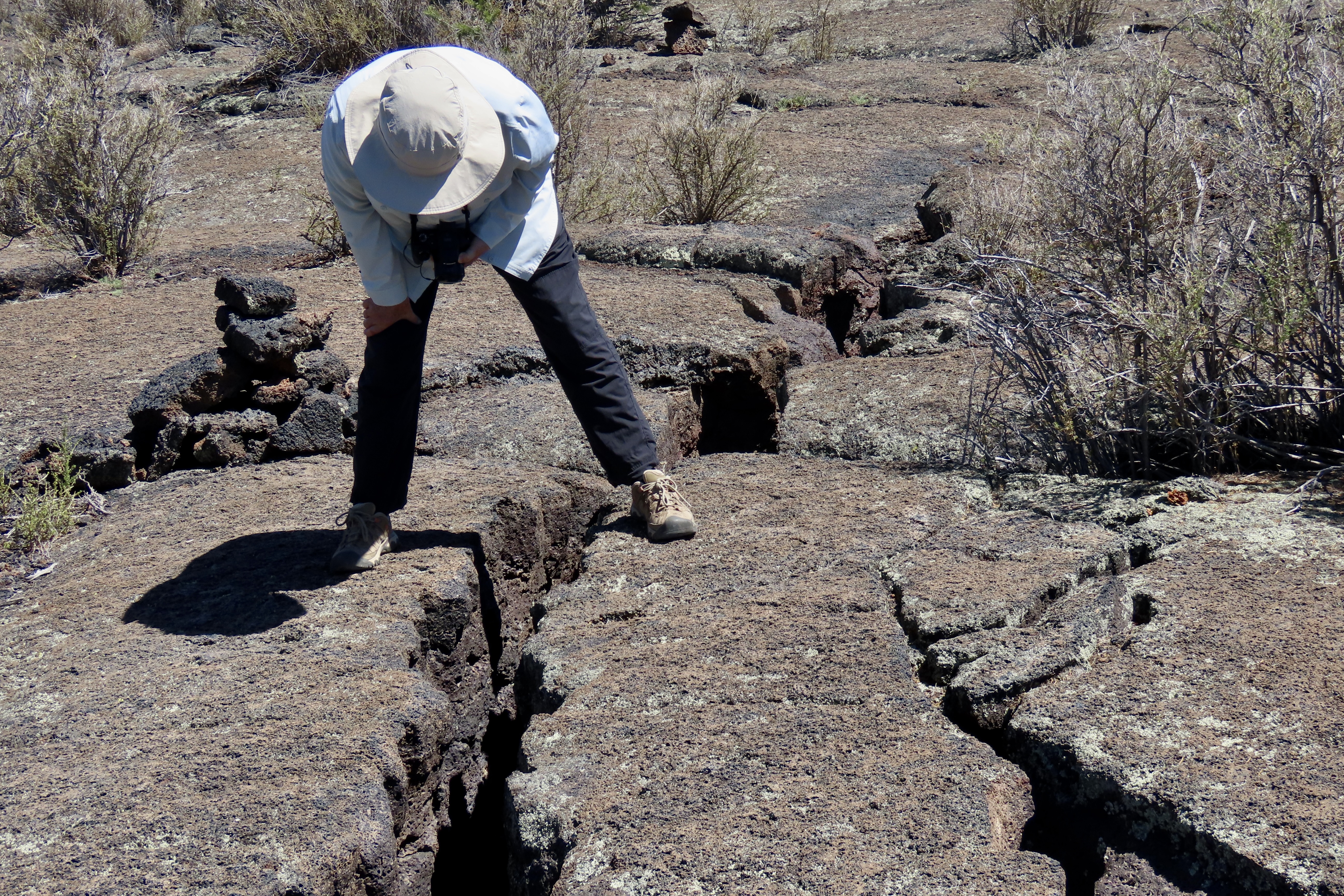
We had planned on going to Chaco National Historic Park the day we visited Bandelier but weather conditions were iffy and the dirt roads into the park can become impassible during bad weather. When I called the park the day before, the ranger had told me that heavy rain was expected during the night and I should call them back in the morning. He sounded grouchy. Given that the park was three hours away and the park’s information center didn’t open until nine, we wouldn’t get there until noon, assuming we could go at all. We decided on going to Bandelier instead. It was located within two hours from where we were staying in Albuquerque, the roads were paved, and the park was open come rain or shine. Its setting among high cliffs of the easily erodible tuff rock, the incorporation of cavates into the Ancestral Puebloan homes, and our search for turkey petroglyphs combined to make the visit special.