


We have a final post we want to do on petroglyphs not featured yet, but we are heading out for New England this week so our next posts will be featuring fall colors and cozy towns.
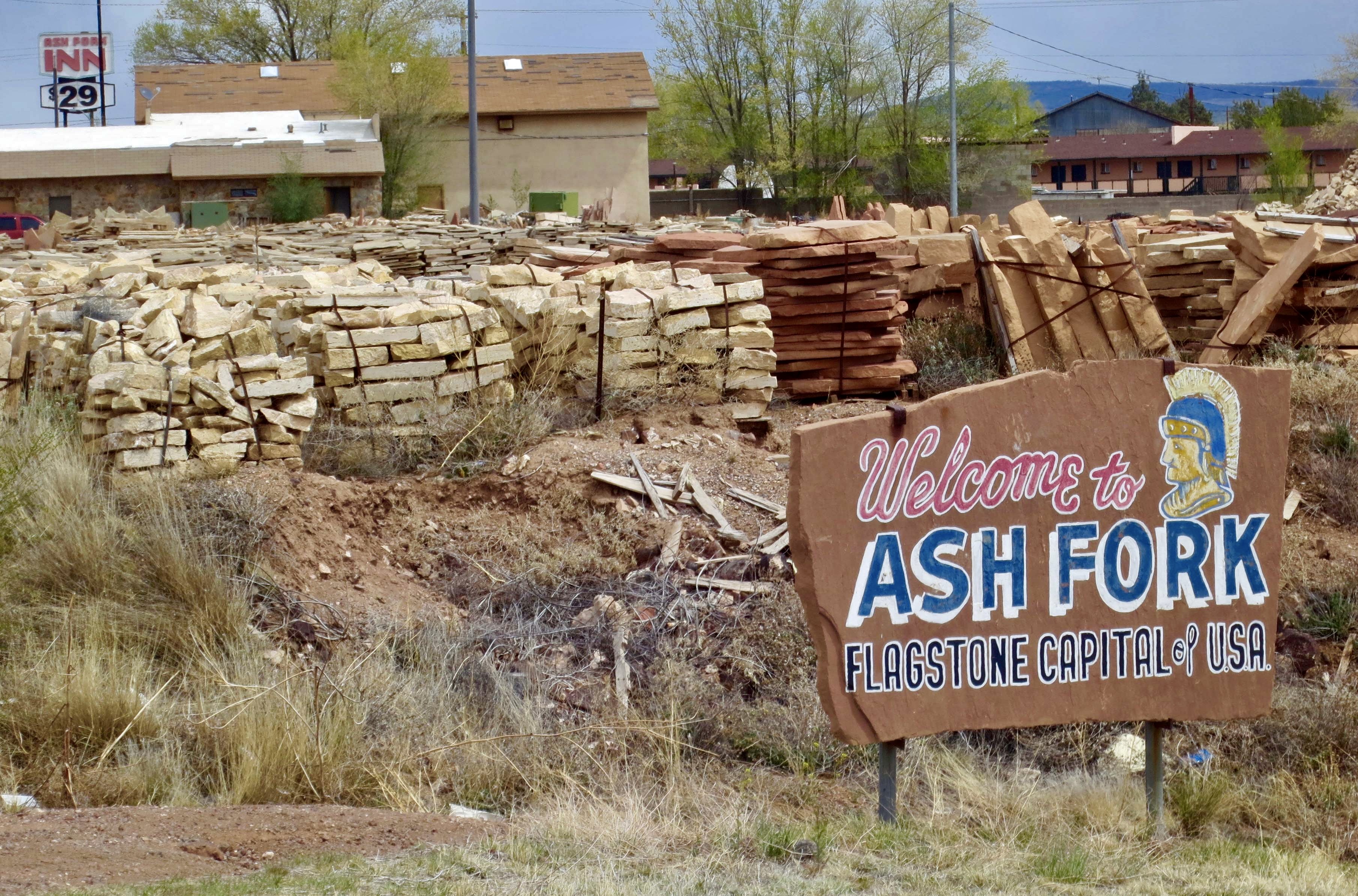
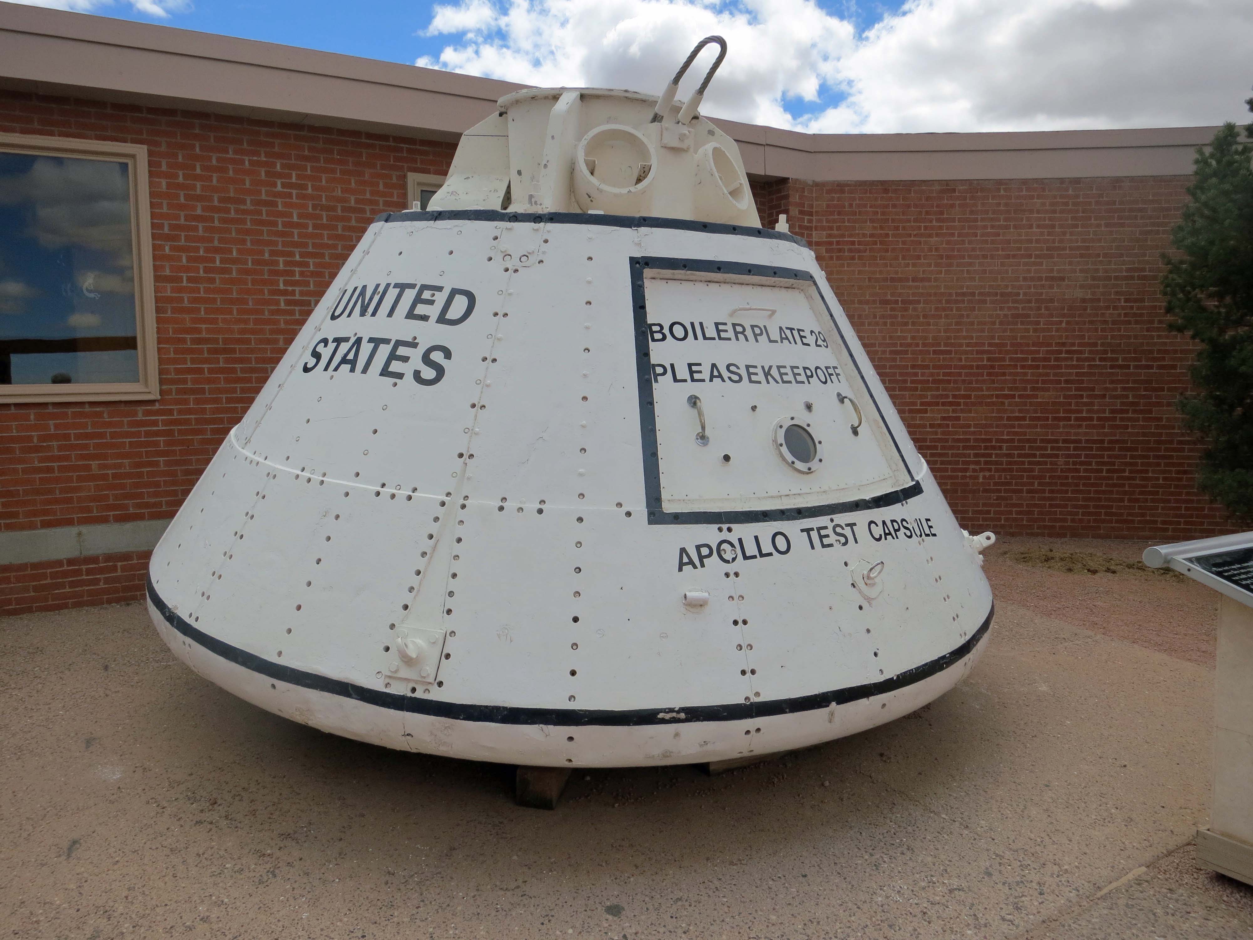
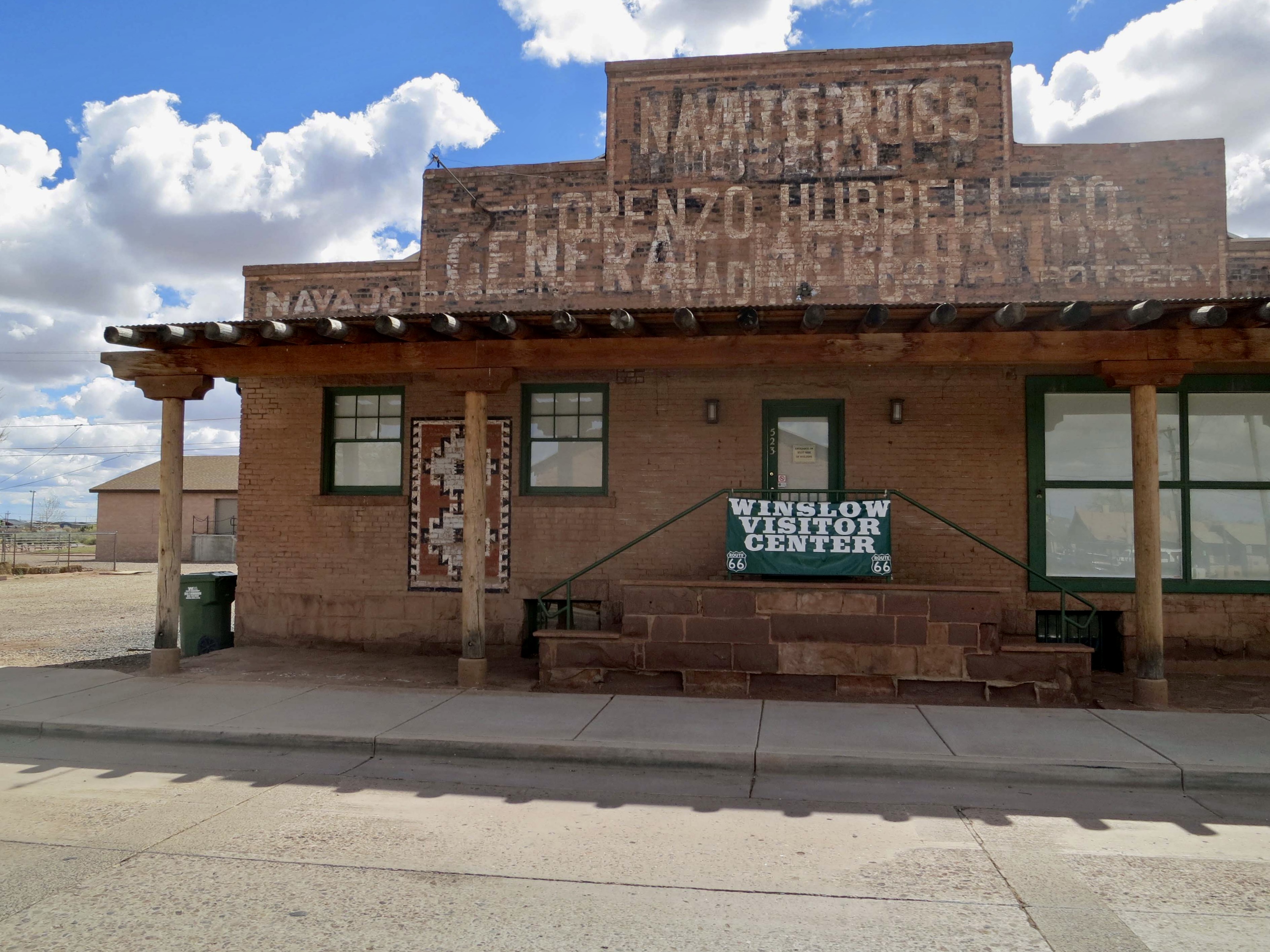
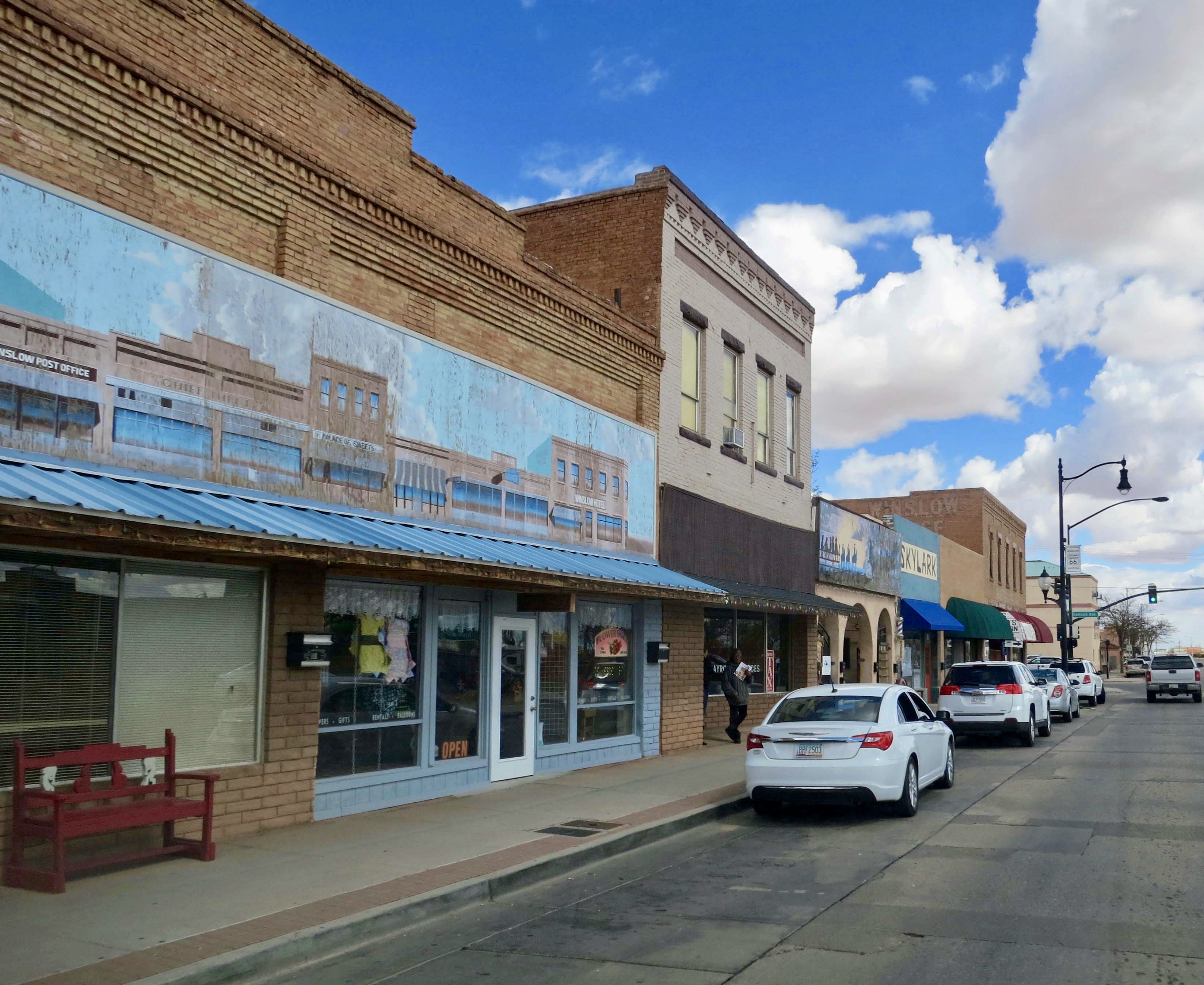
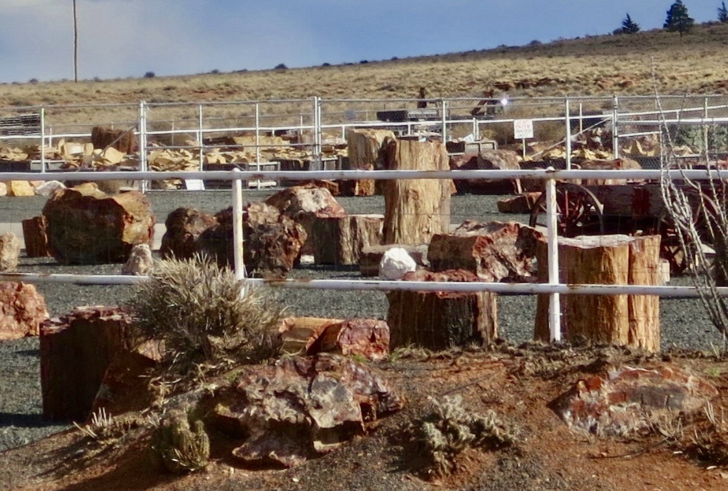
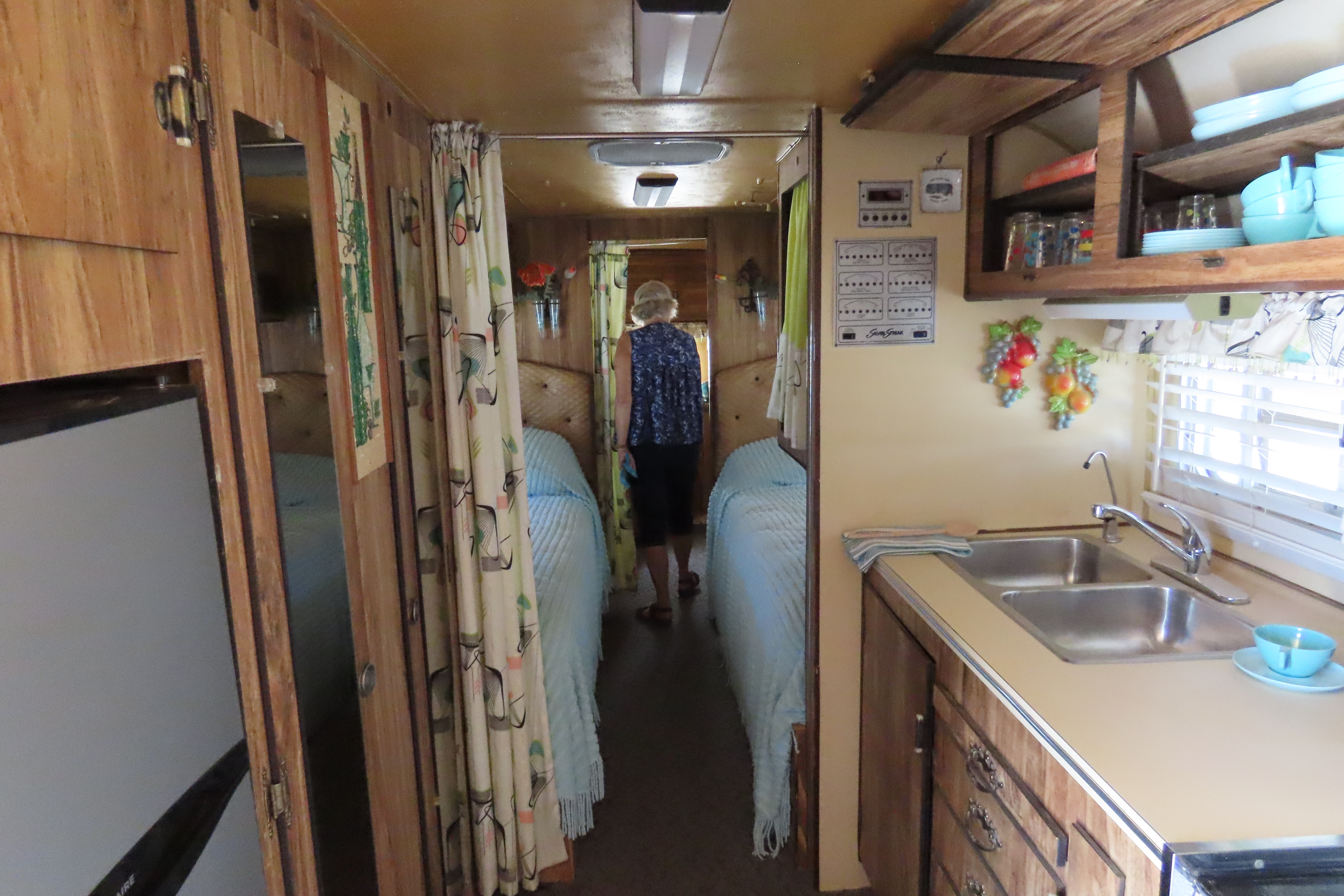
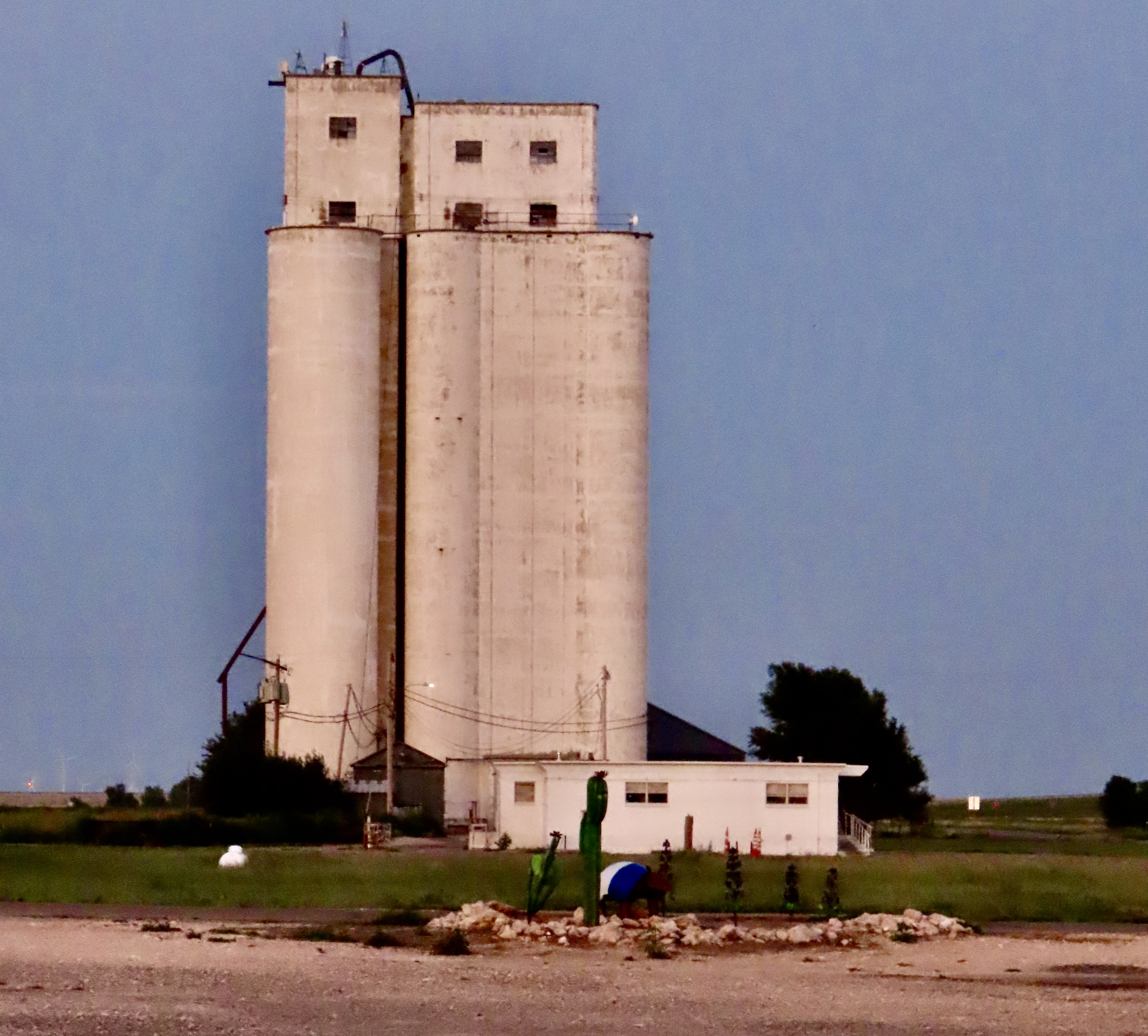
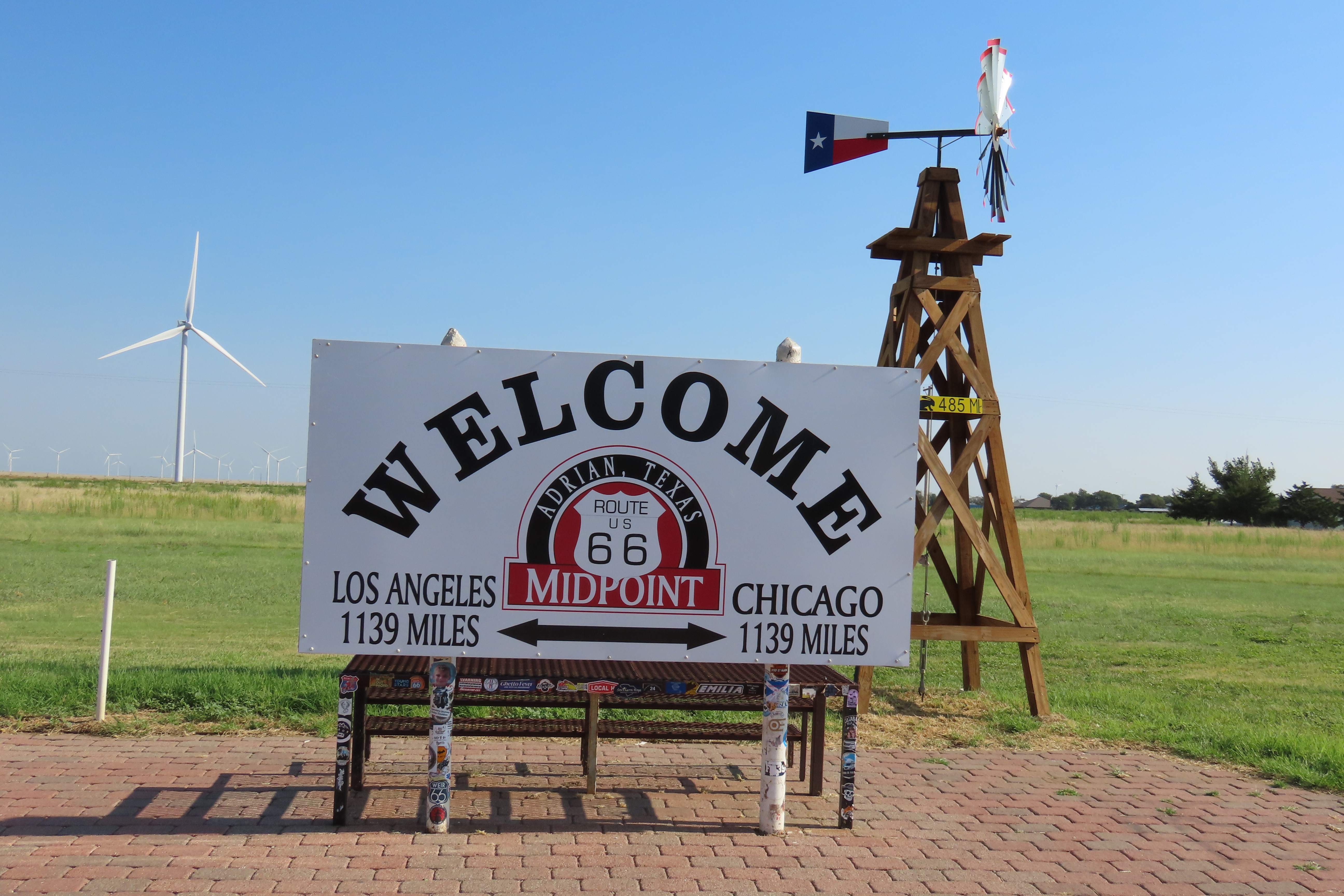
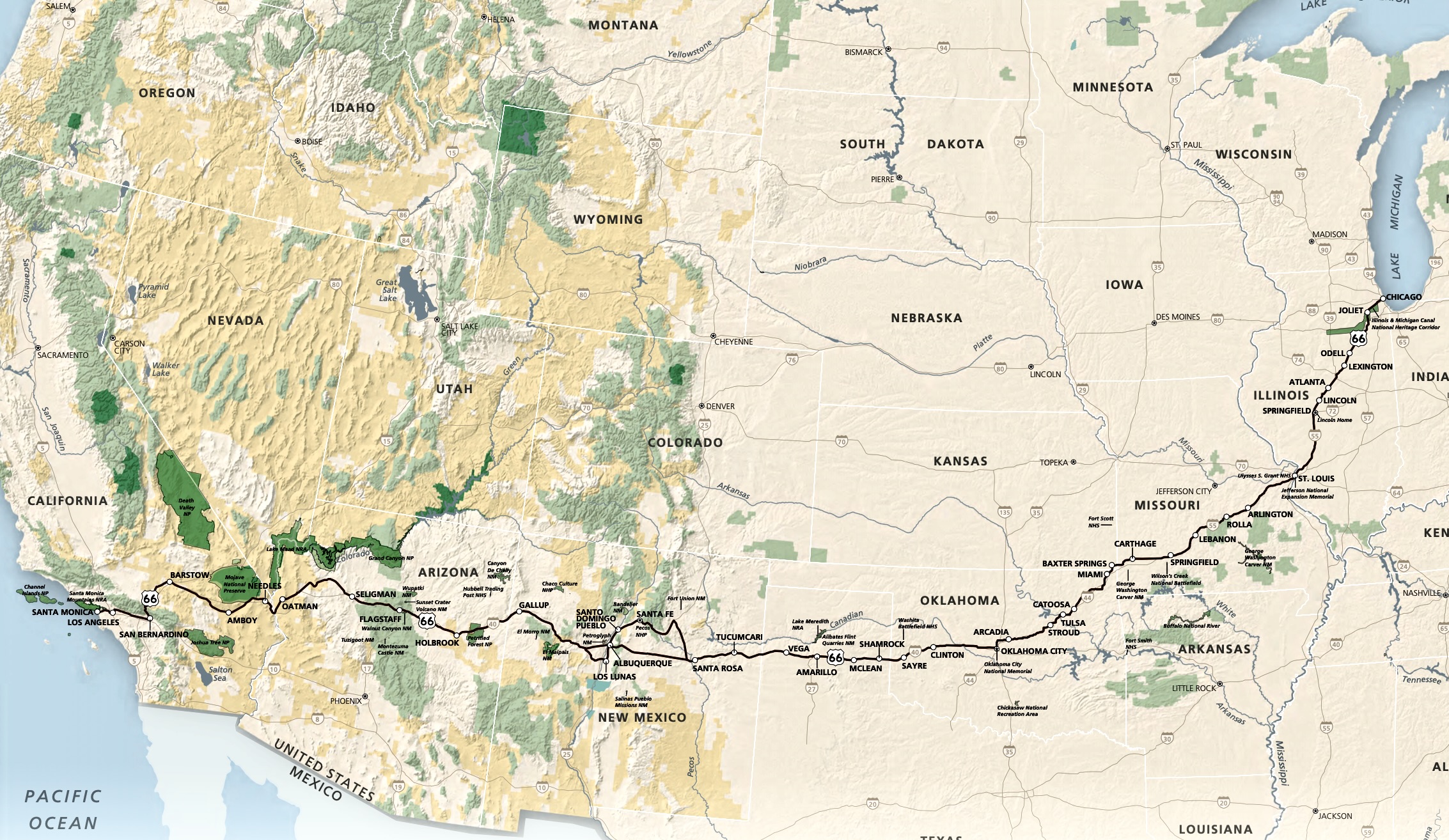
On our recent trip to the Southwest, we camped in six different locations along the historic highway: Kingman, Ash Fork, and Holbrook in Arizona, Grants and Albuquerque in New Mexico, and Adrian in the Panhandle of Texas. I’ll be incorporating some of them in the next two posts plus other visits we have made to the area over the years.
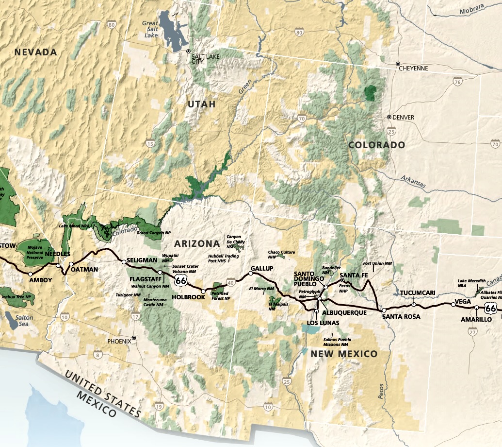
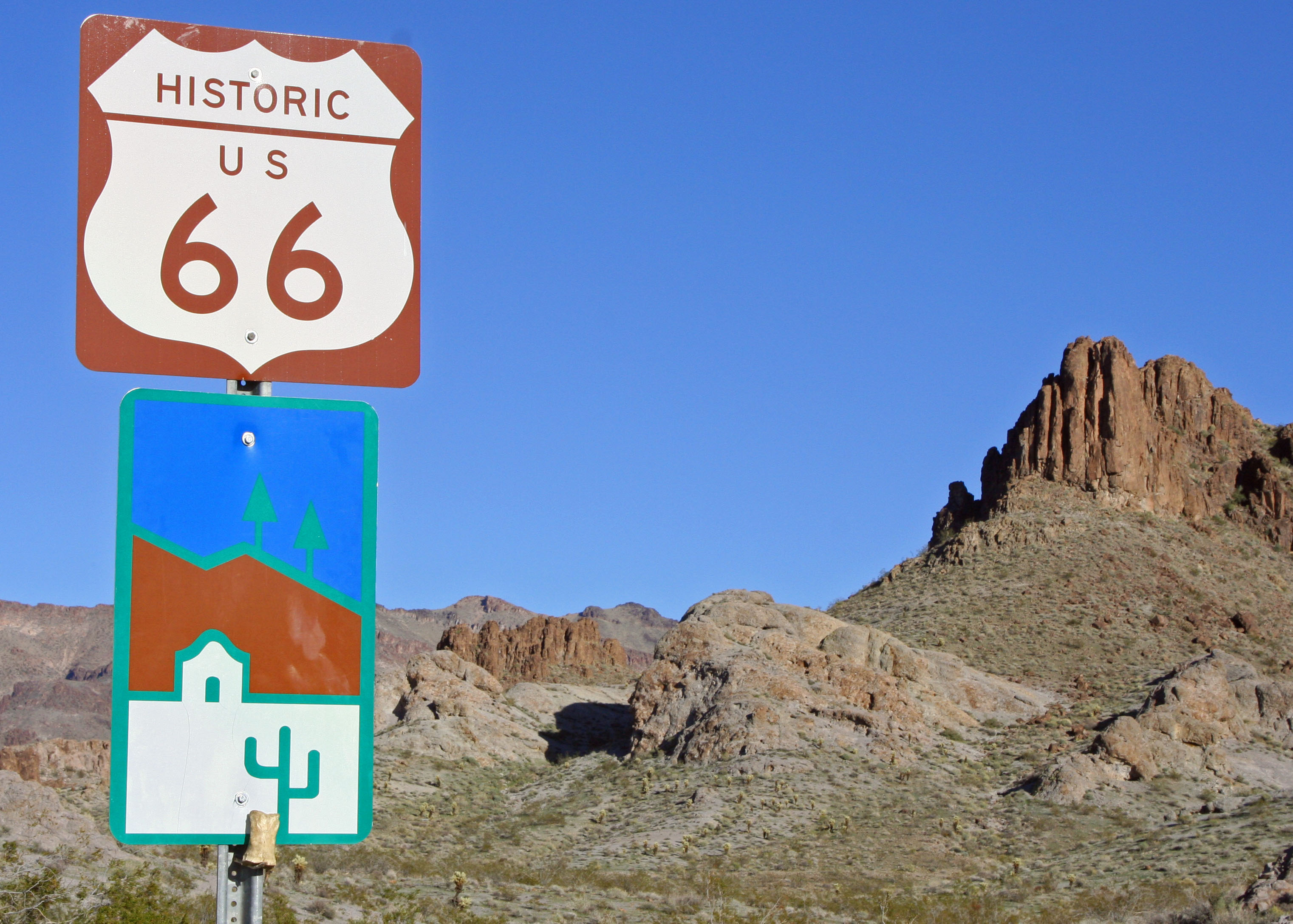

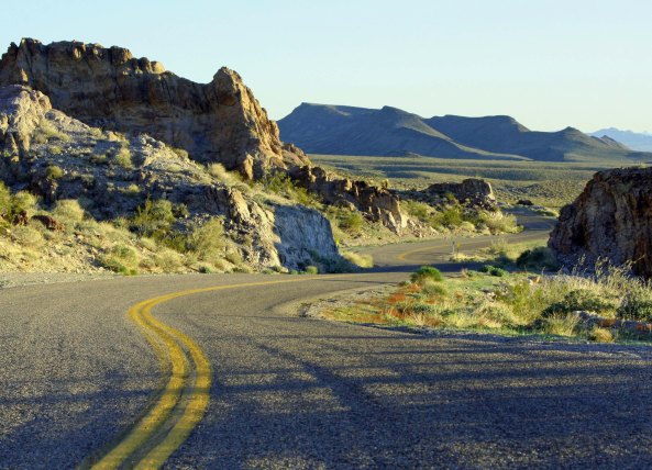
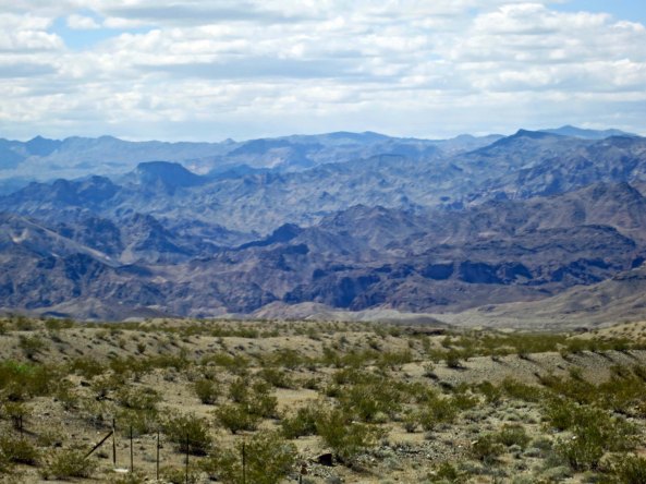
While historic Route 66 travels through eight states and numerous climate zones, I always think of it as being in the desert, a prejudice I developed from reading my Grandfather’s “Arizona Highways” as a child. This photo I took a couple of years ago near Oatman, Arizona would have been the same 60 years ago.
Nostalgia: Pleasure and sadness that is caused by remembering something from the past and wishing that you could experience it again. — Merriam-Webster Dictionary
Route 66 represents nostalgia in mythic proportions. It harkens back to an earlier era— back before the hustle and bustle of modern-day freeways, back before the advent of McDs, BKs, and numerous other fast food restaurants, and back before cell phones insisted that we keep in contact with anyone and everyone all the time, even when on the open road.
It is a blue highway incarnate, and, as I am sure you have figured out, I am a blue highway kind of guy. When I was planning my bike trip, I designed it to follow some of the loneliest, bluest roads in the US and Canada. Of course there were compromises, Las Vegas being a glaring example. And there were times when my only option was to climb onto a freeway. As I followed busy Boulder Highway up and out of Las Vegas, however, it was Route 66 and North America’s other historic byways that I was dreaming of.
I worked my way up to Railroad Pass, which marks the dividing line between Las Vegas/Henderson and Boulder City. It had been a long haul out of Vegas so breakfast at the Railroad Casino seemed in order. The casino has been there forever and lacks the glamor of its Las Vegas cousins. It even came with an old-fashioned café. I ordered one of my favorites: sausage, two eggs over medium, hash browns, whole wheat toast and coffee. It cost four bucks. I left with a happy tummy and a smile on my face, retrieved my bike from the post it was locked to, and headed for Hoover Dam, keeping an eye out for the Desert Big Horned Sheep that hang out in the mountains above the highway.
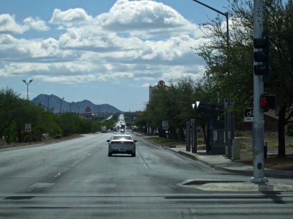
Boulder Highway as it looks today… not much different from it looked in 1989.
“Watch the road, Curt!” I admonished me. Do you talk to yourself? I always have. Riding on a bike for six months by myself made me much more fluent, or maybe the word is verbose.
There is a fun story about the Big Horn Sheep in the area that I related in an earlier blog but is worth repeating here. A small park is located just off the road that bypasses Boulder City to Hoover Dam. The bright green grass beckons to the sheep up on the mountainside during Nevada’s hot, dry summers and down they come. I’ve stopped by a couple of times to photograph them. An acquaintance of my friend Ken Lake lives across the road from the park and related this tale.
The path the sheep follow down to the park passes right by a house that has a shiny, aluminum garage door. One day the herd ram noticed another large ram in the door— staring back at him, challenging him. Here was competition for his lovely ewes! This wasn’t to be allowed, of course, so he reared up and charged the door full tilt, crashing into it with his mighty horns. But the other ram was still standing, albeit a bit beat up. So he charged again and then again. The door was trashed. Apparently the owner had a hard time persuading his insurance agent how the damage was caused.
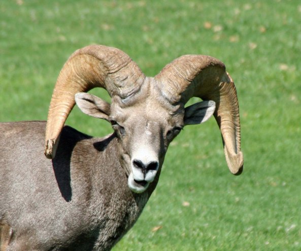
The herd ram determining whether my taking his photo was something he should be objecting to.
Peggy and I have a similar problem at our home in Oregon. The big tom turkeys that live in the forest like to parade their harems through our yard. The largest of the toms has discovered the turkey that lives in the bumper of our Toyota Tacoma pickup. He is not happy. I’ve seem him stand in front of the bumper for thirty minutes at a time, fluffing out his feathers, sticking out his neck in a loud gobble, and pecking the bumper. The other turkey fluffs his feathers, sticks out his neck and pecks right back. All of this would just be humorous except the big tom goes looking for the other turkey. He flies up, lands in the pickup bed… and poops. Admittedly, turkey poop isn’t as traumatic as having your garage door trashed, but it is copious and messy. The tom and I have had several discussions about my love of roast turkey.
I was yet unaware of the Big Horn Sheep and a long way off from owning a wilderness retreat in Oregon when I cycled by the park on my bike trip. I made my way down to Lake Mead and crossed over Hoover Dam. Looking out over the lake and the distant drop on the far side from a bicycle was quite an experience. If I were to cross the dam today on my bike, TSA would stop me at its check point and make me empty out my panniers to determine whether I was a mad bomber. Why else would someone bike across the dam— and up the other side?
The climb out was hot and steep, filled with hairpin turns, autos and large RVs. I sweated all of them, so to speak. Reaching the top, I was faced with another challenge, miles and miles of sizzling, desolate desert with minimal facilities. My kind of country.
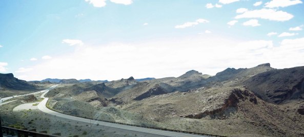
A high, multi-lane bridge has replaced crossing over Hoover Dam when traveling between Nevada and Arizona. This shot looks down on the old highway I was following after climbing out of the canyon.
A bit farther up the road looking south. This photo could have served as an illustration for Dante’s Inferno.
I biked on, catching far off views of the Colorado River and then picking out a distant mountain to bike toward. As I reached my goal, the sun began to set, and warm breezes turned slightly cool. It was time to search for a home. Unfortunately, a sturdy fence blocked easy access to the desert. I wasn’t particularly interested in being caught climbing over. There are a lot of guns in Nevada. A kindly dirt road came to my rescue. I took advantage of a break in traffic and zipped down it and into a dry gulch, the perfect hiding place— as long as it didn’t rain and the local rattlesnake was elsewhere. I fired up my backpacking stove, made a cup of coffee, added a dash of 151 proof rum, and downed a granola bar. Life was good. Coyote music lulled me to sleep.
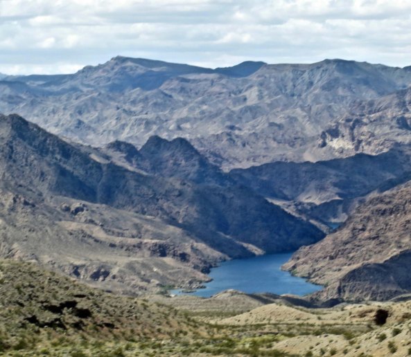
Looking down on the Colorado River from a viewpoint on the Las Vegas-Kingman road.
I used this distinctive mountain as a marker to determine my progress.
Looking out toward my home for the night. Not bad, eh? Or is it that 151 proof rum improves how everything looks?
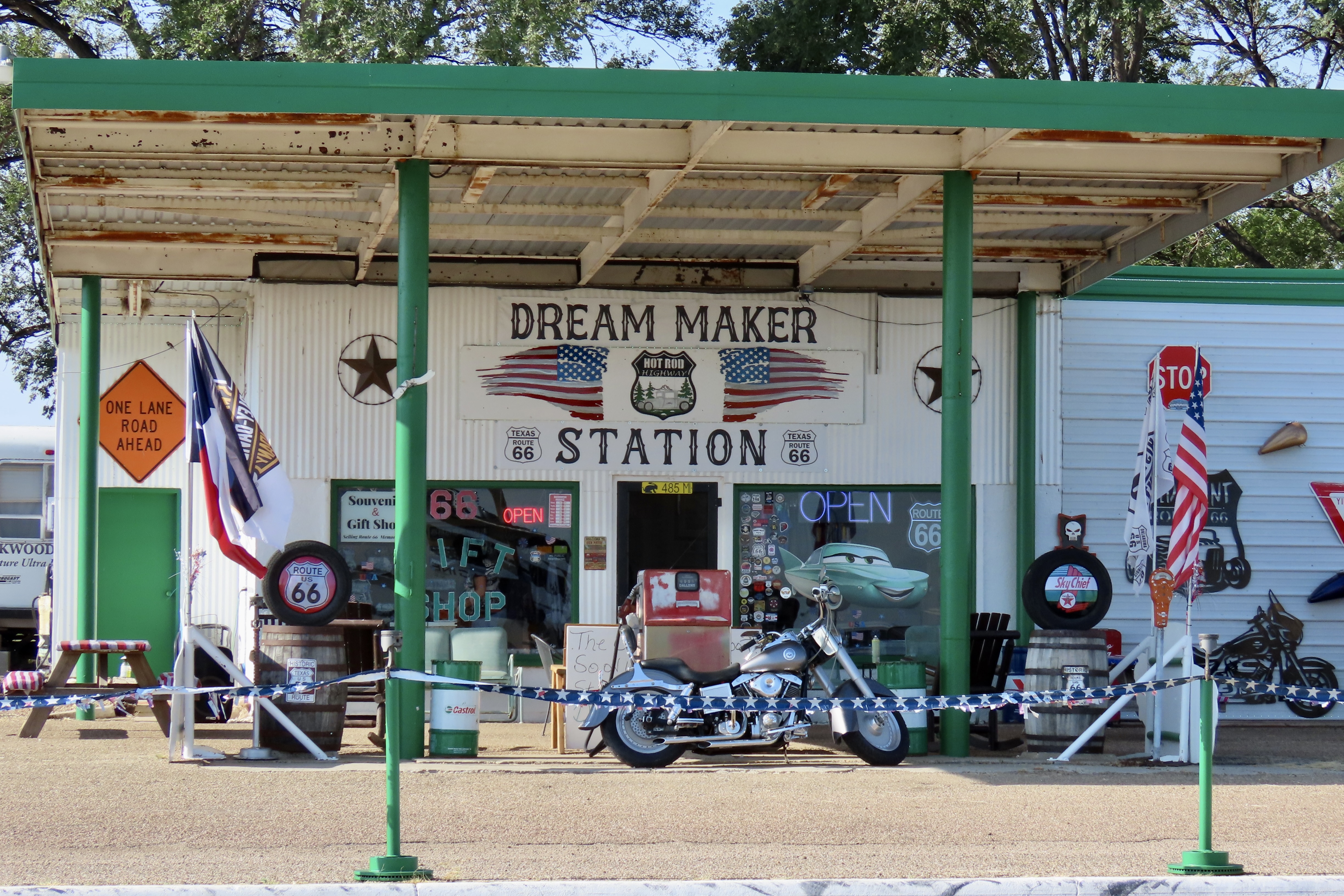
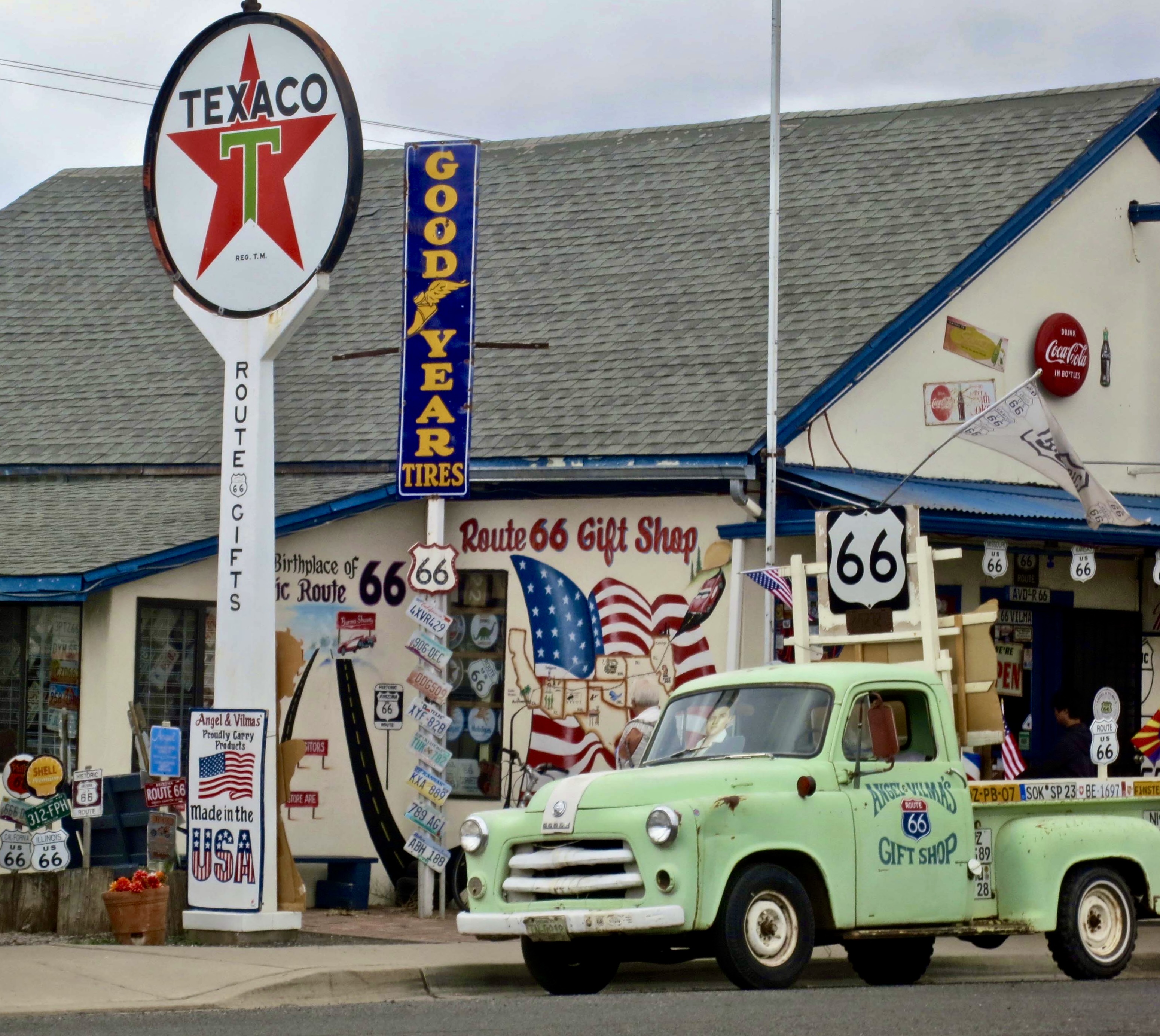
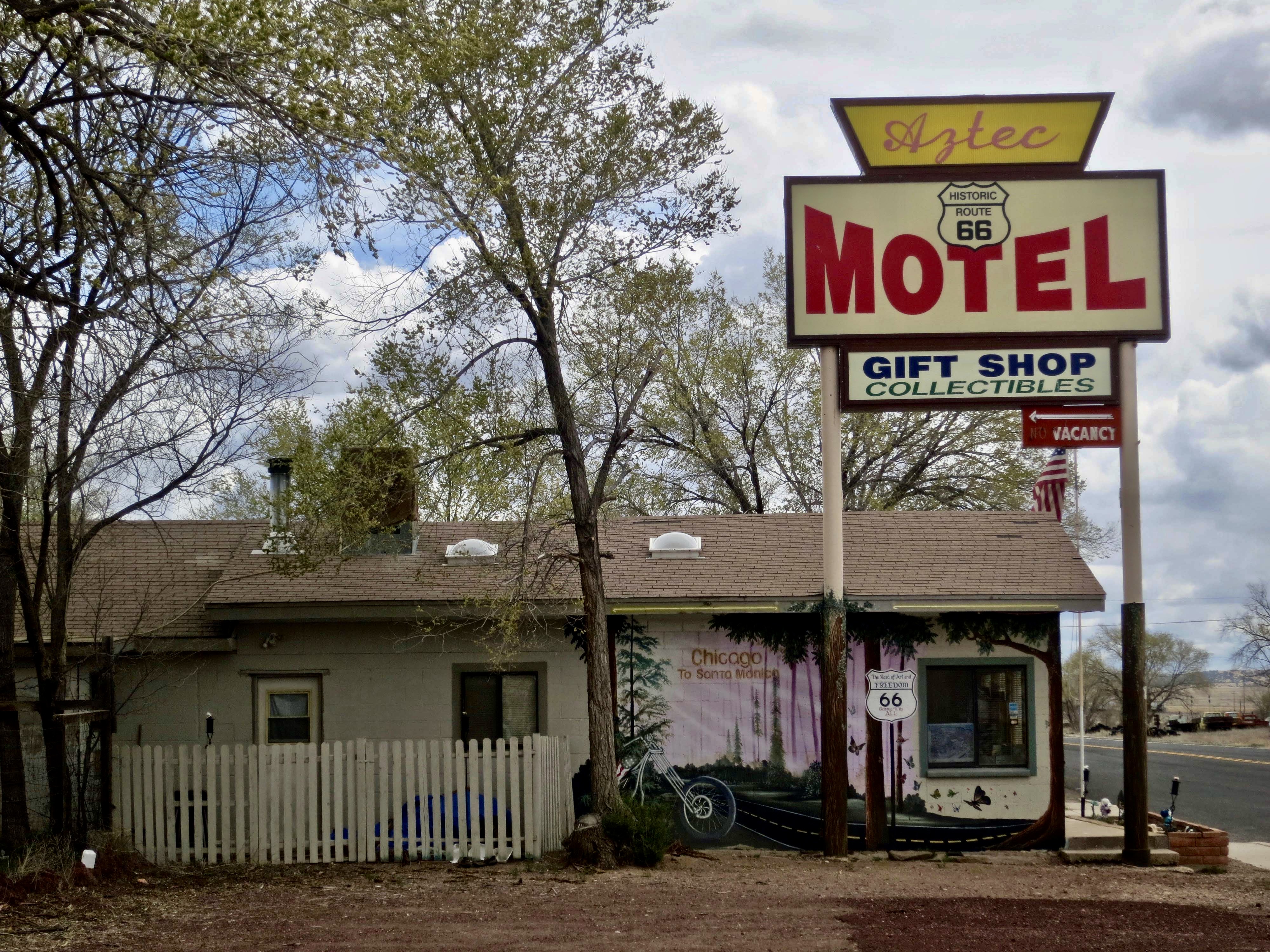
I was up early in the morning and out before the traffic. Fifty-miles later I was in Kingman, Arizona, a town bursting with pride about its Route 66 heritage, and hoping to harvest a bundle of tourist dollars because of it. I grabbed a room in a beat up old motel that claimed Route 66 vintage and prices. Following a much-needed shower, I headed out to follow the road through the town and absorb some of its ambience.
Kingman, Arizona is quite proud of its connection to Route 66. Two different museums in town feature Route 66 themes.
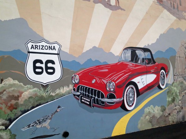
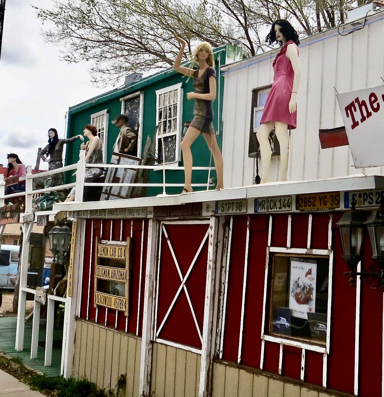
A number of murals depict a romanticized view of travel on the highway.
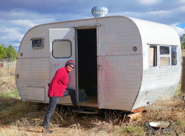
When I talk about the inexpensive motels I found along my bike route, this is what Peggy assumes they looked like.
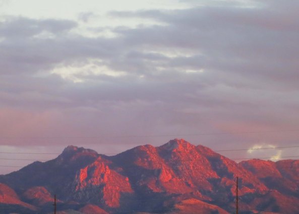
A desert sunset as seen from Route 66 in Kingman.
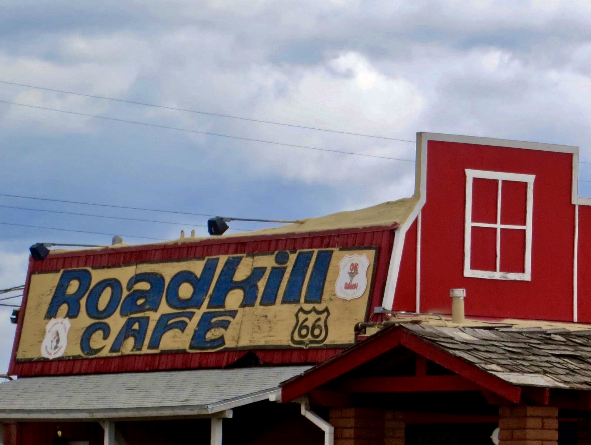
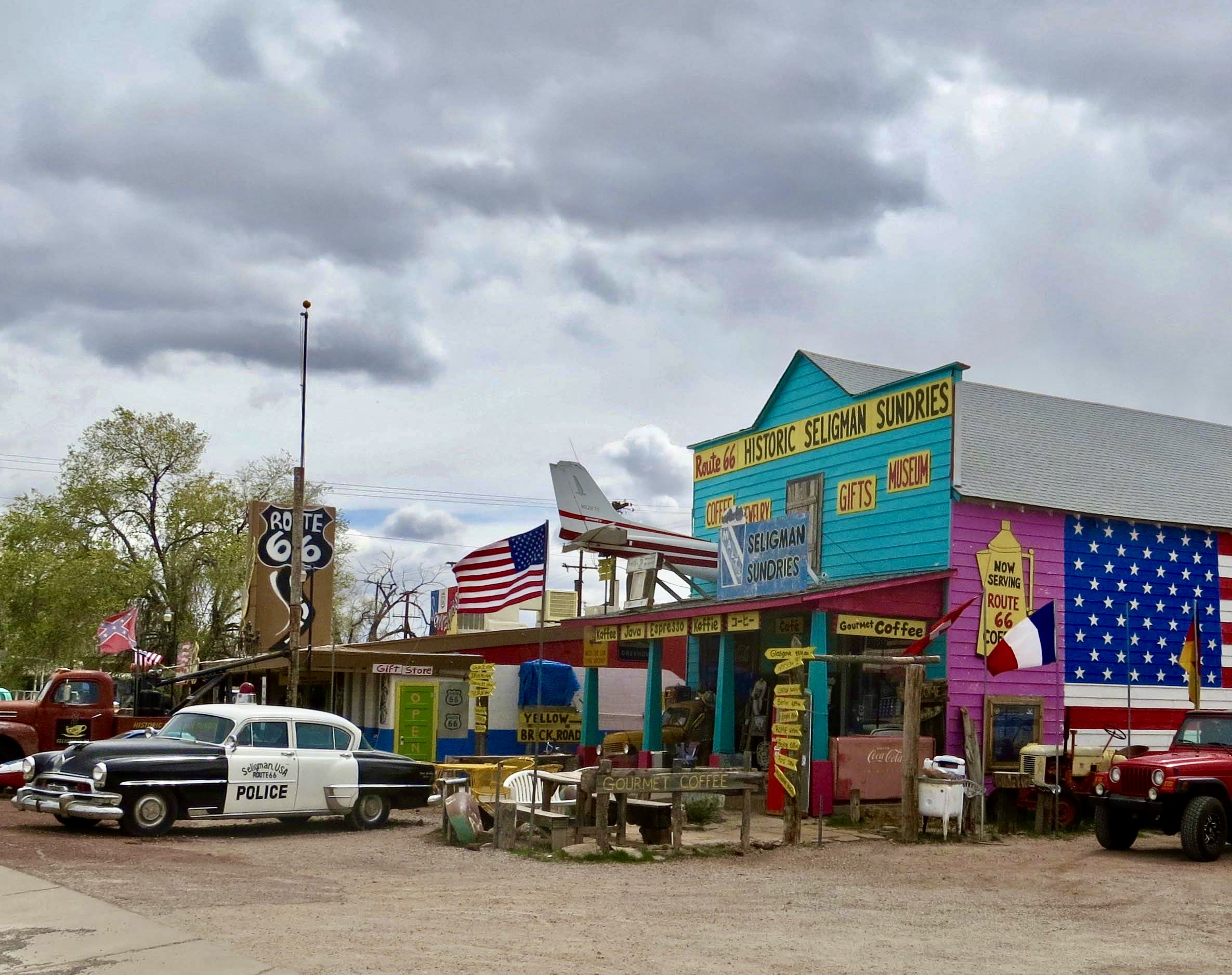
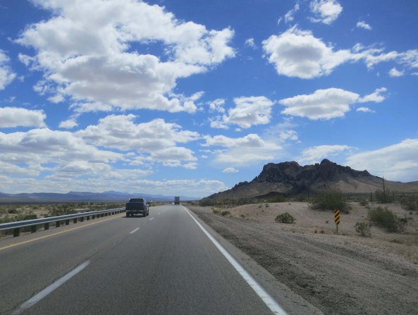
The next day found me absorbing much more as I left the town behind and made my way east on what was once one of America’s main cross-country routes. Today it is a quiet road. The majority of the people traveling east and west are zipping by on Interstate 40, rushing toward whatever destination/destiny awaits them.
When I think of Route 66, I think desert. When I was a small boy, I was enthralled by my grandfather’s subscription to “Arizona Highways.” It often featured Route 66, and it featured deserts. My first acquaintance with the highway was when I was driving west from Atlanta in 1968 and followed portions of it through Arizona, including the one I was biking on.
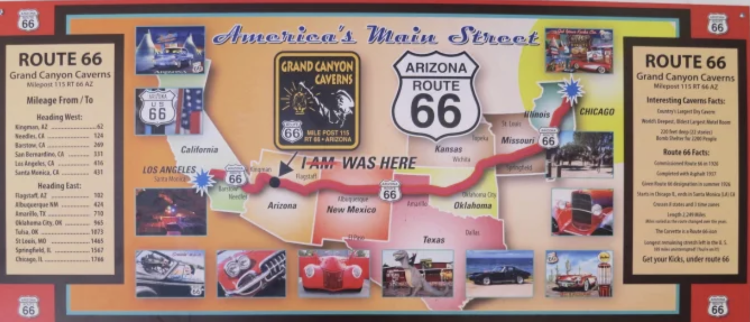
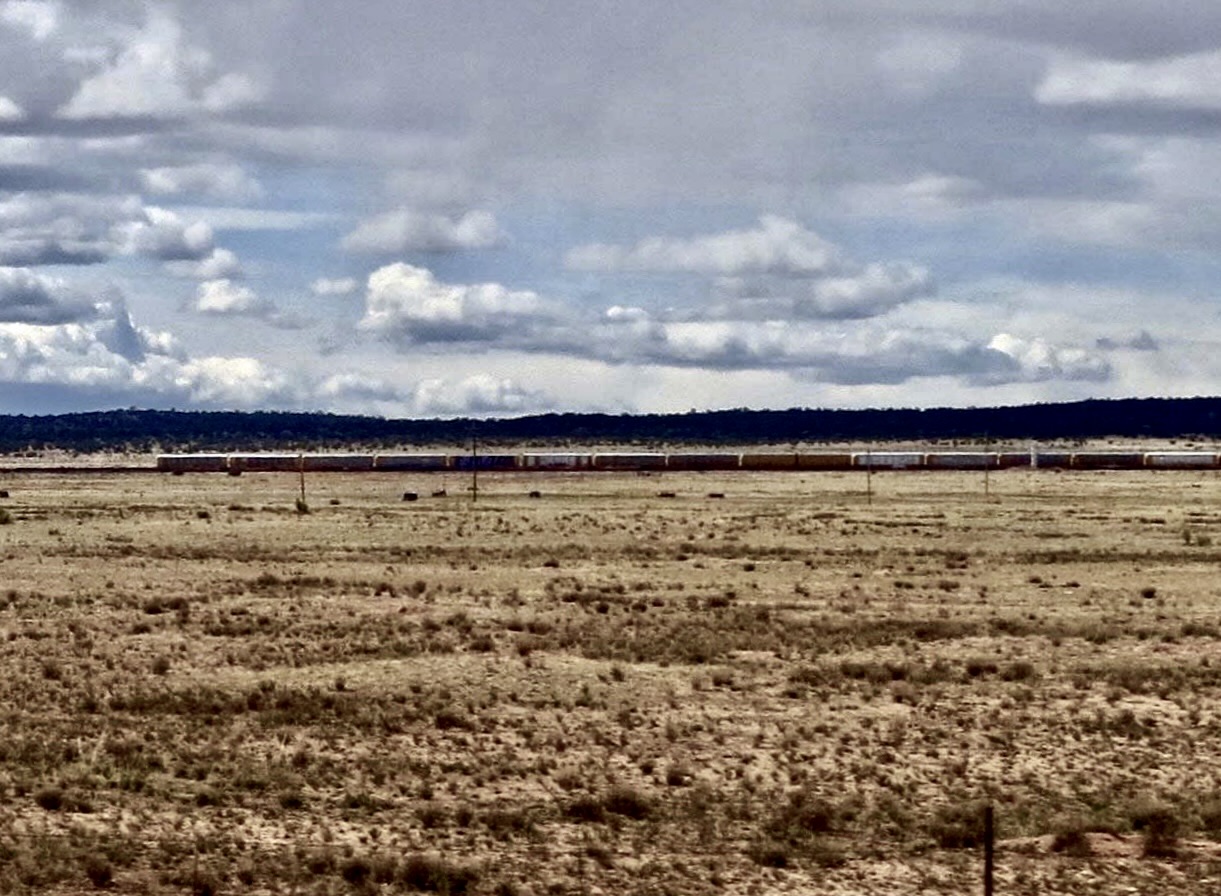
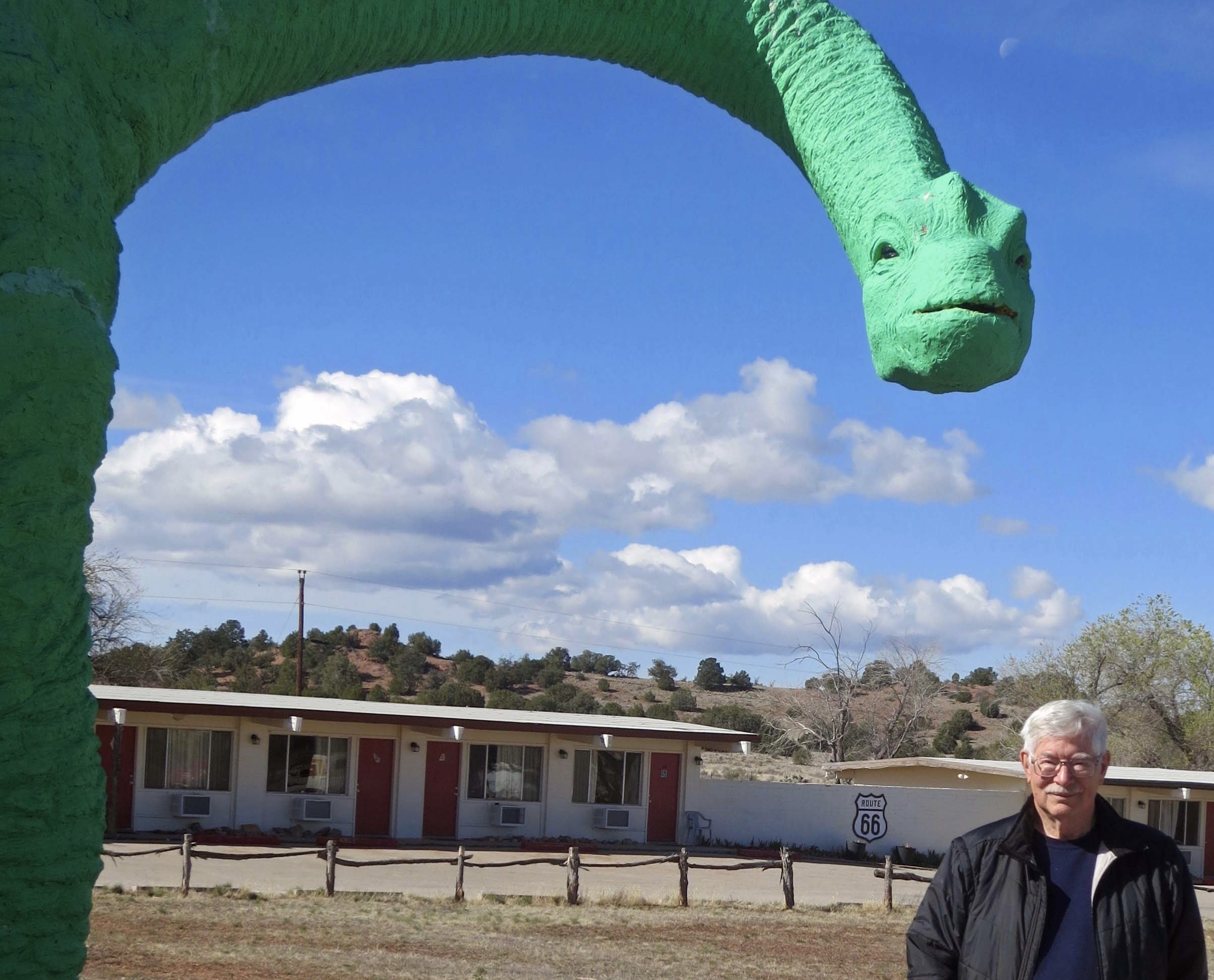
My route for the day took me on a gentle climb up through arid lands with views of mesas along the way. Occasional creeks were teaming with life that was seeking the desert’s most treasured commodity, water. I passed by ramshackle old buildings that had seen their heyday in the 40s and 50s. I waved at the few cars that passed me, either locals going about their business, or romantics like me, seeking a taste of a bygone era. A train whistle receding into the distance fit right in. I ended my day at the Grand Canyon Caverns, a tourist attraction of the early Route 66 that still pulls in visitors today.
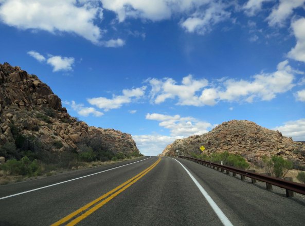
Route 66 above Kingman.
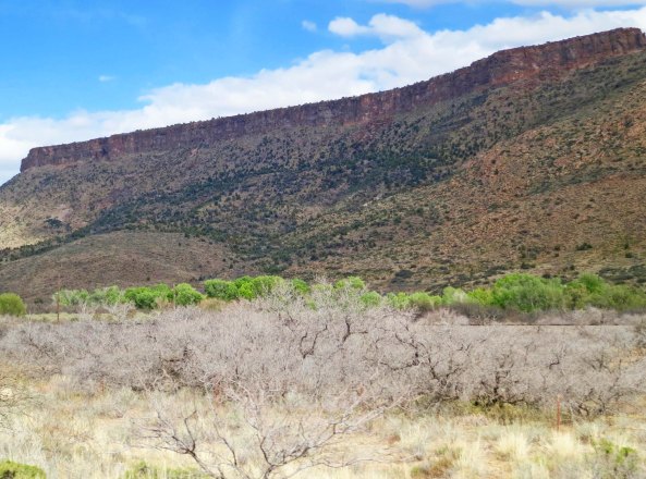
A mesa above the highway. Traveling over the mesa and beyond will bring you to the Grand Canyon.
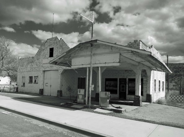
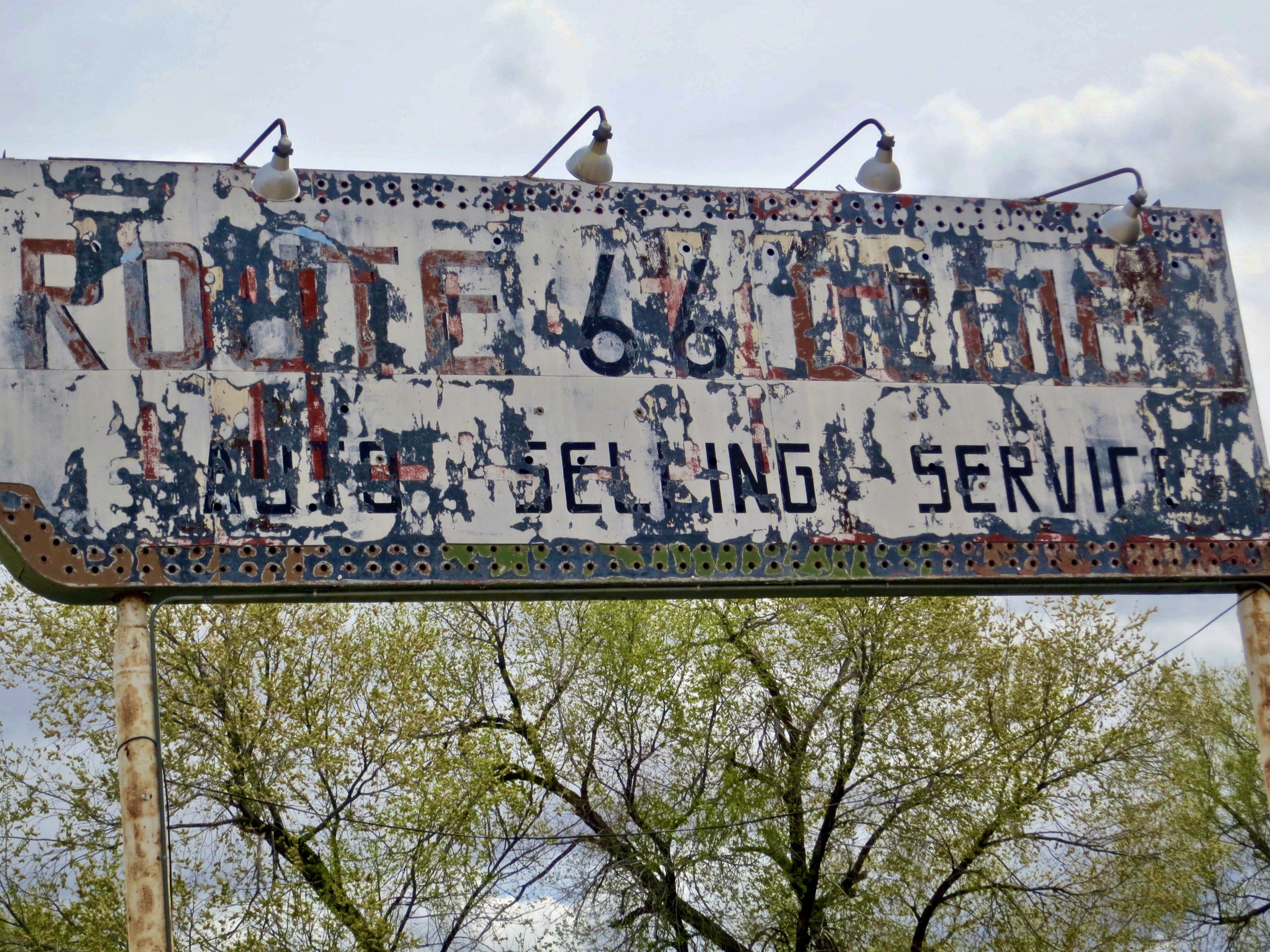
An old building that served as a gas station and garage during the heyday of Route 66. The gas pumps had been updated, but even they were no longer in use. I rendered the photo in black and white to represent the era.
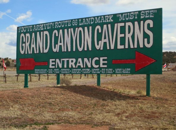
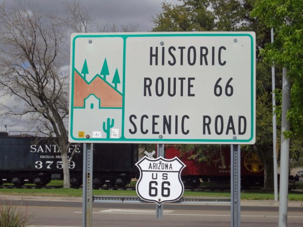
My campground for the evening with a typical Route 66 sign.
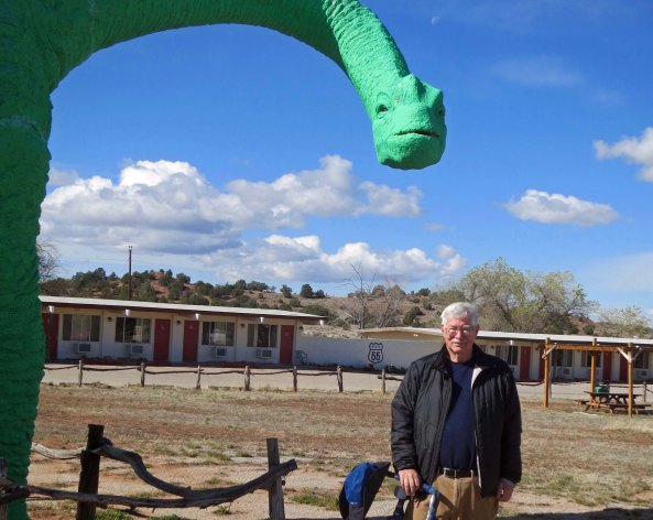
The campground/motel and caverns also featured dinosaurs. (Photo by Peggy Mekemson.)

The restaurant featured Betty Boop.
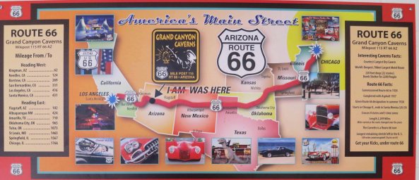
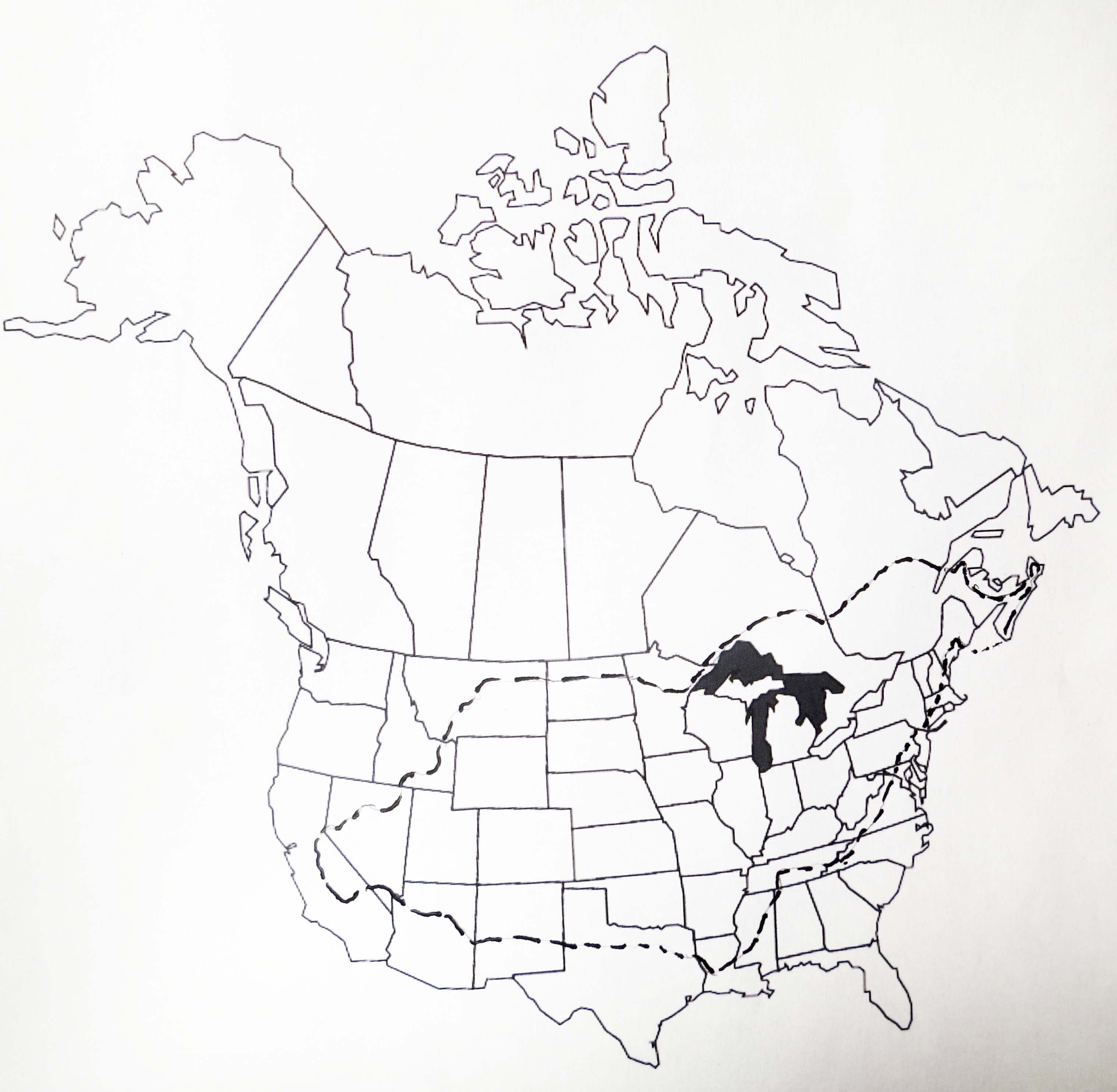
And this map showing historic Route 66. The arrow points to the Grand Canyon Caverns.
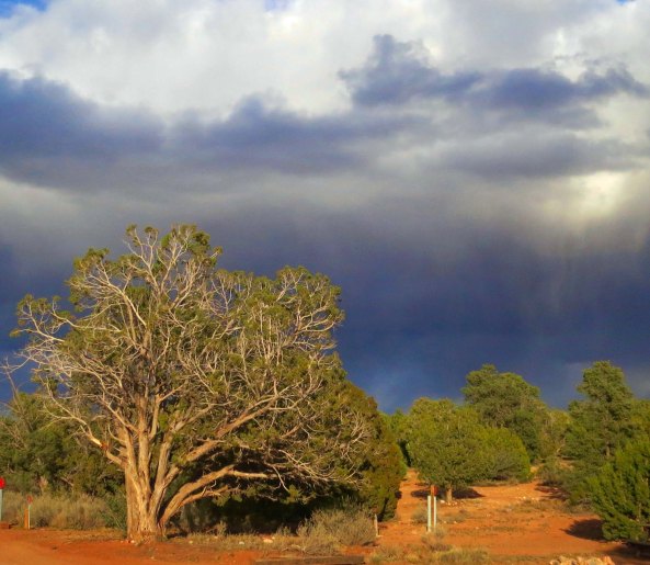
Sunshine on the juniper trees provides an interesting contrast to the dark clouds that were promising rain at the campground.

I’ll conclude this post with sunset at the Grand Canyons Cavern Campground.
Note: If you are new to this series, my wife Peggy and I are retracing my 1989 bike route, this time in our van. Most of the photos come from our present trip.
NEXT BLOG: I will feature the rest of my bike trip across Arizona, including a very scary one a.m. invasion of a motel room I was sleeping in.

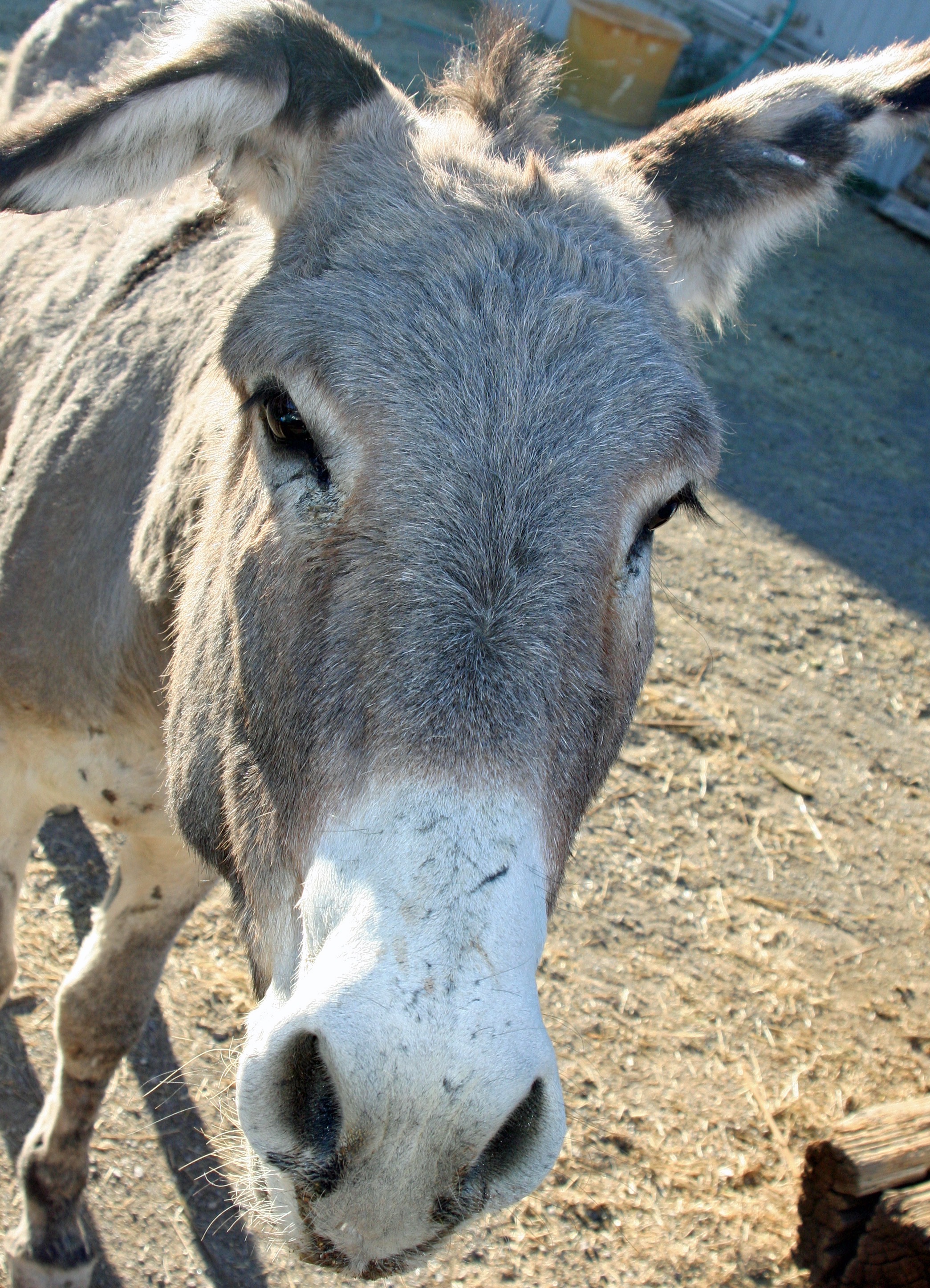
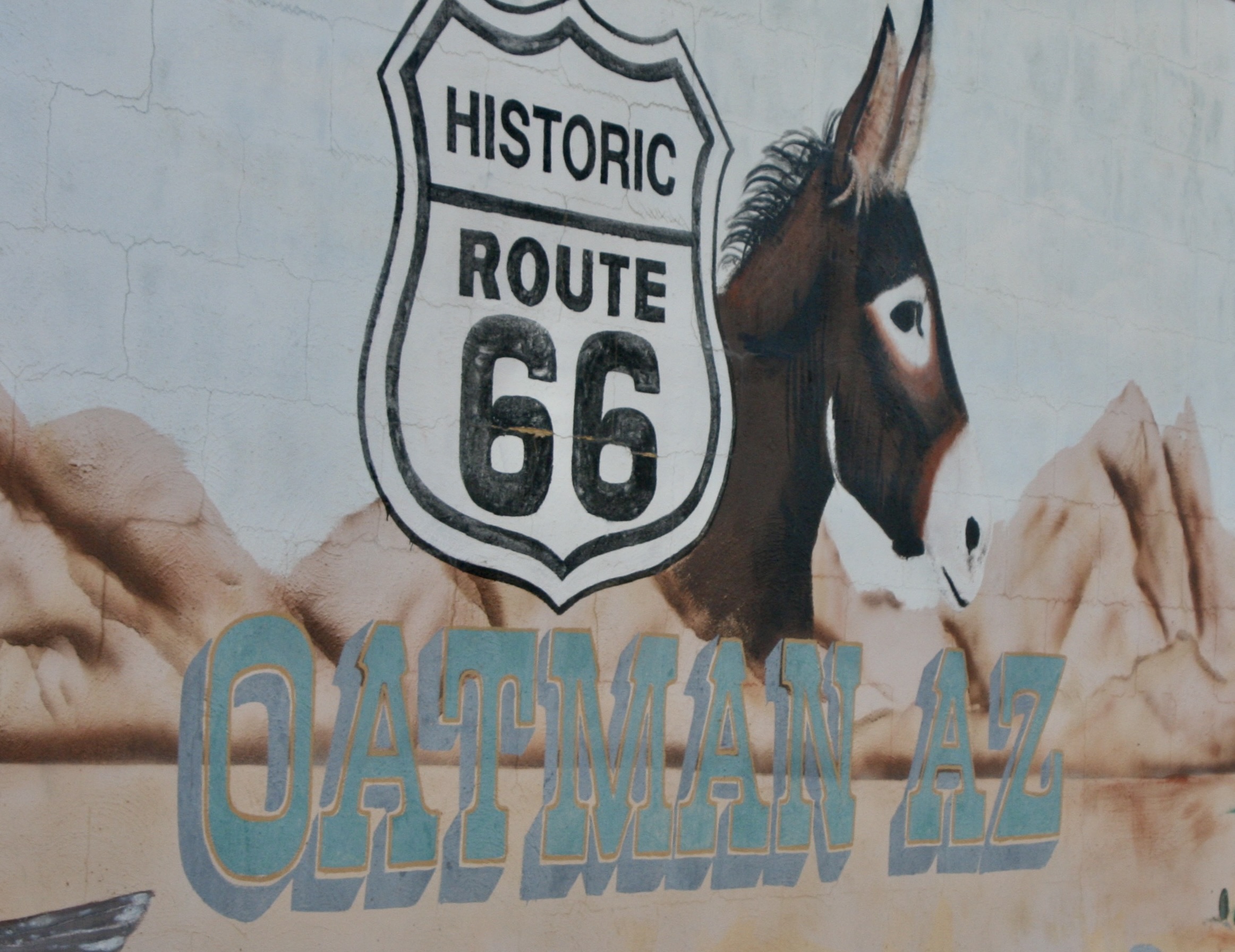
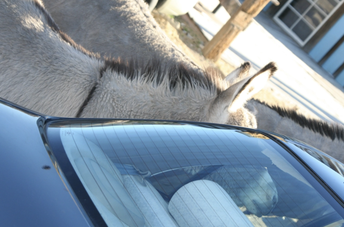
Oatman Arizona is noted for its history, location on Route 66 and its wild burros. As this photo suggests, its burros are not very wild, but they are characters.
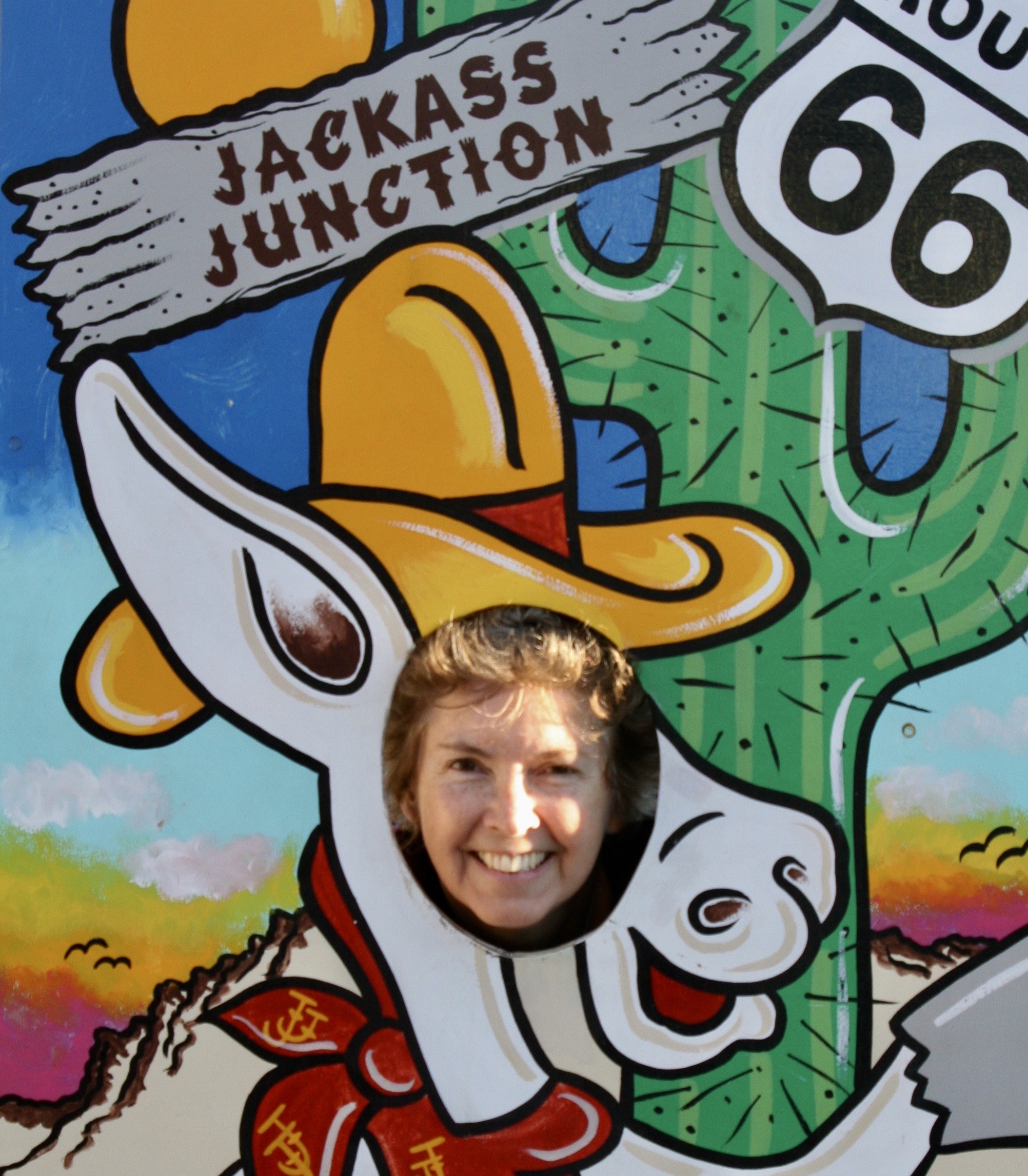
Oatman, Arizona would be a ghost town if it weren’t for its wild burros and location on Route 66. Peggy and I stopped there on one of our explorations of the historic highway and were immediately greeted by the burros.
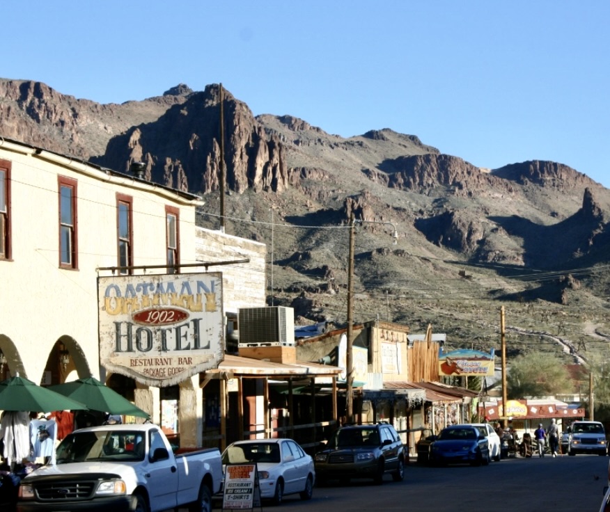
A ten million dollar gold strike in 1915 gave Oatman its initial growth spurt. Travel on Route 66 during the highway’s days as a major east-west road maintained its existence. Clark Gable and Carole Lombard spent a honeymoon night there and Clark returned occasionally to gamble with the miners.

A view of main street Oatman in its desert setting with its historic buildings.
The town received its name from Olive Oatman who had been kidnapped by the Yavapai Indians, rescued and tattooed by the Mohave Indians and eventually released near the town.

Olive Oatman with her tattoos that were applied by the Mohave Indians.
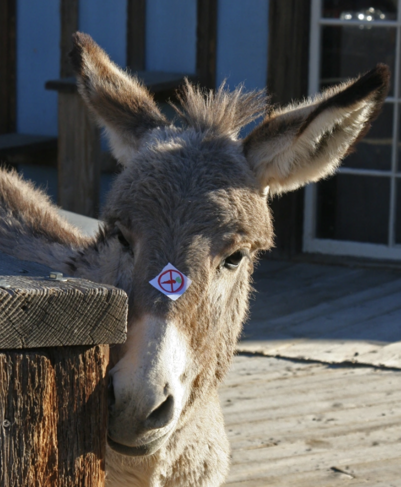
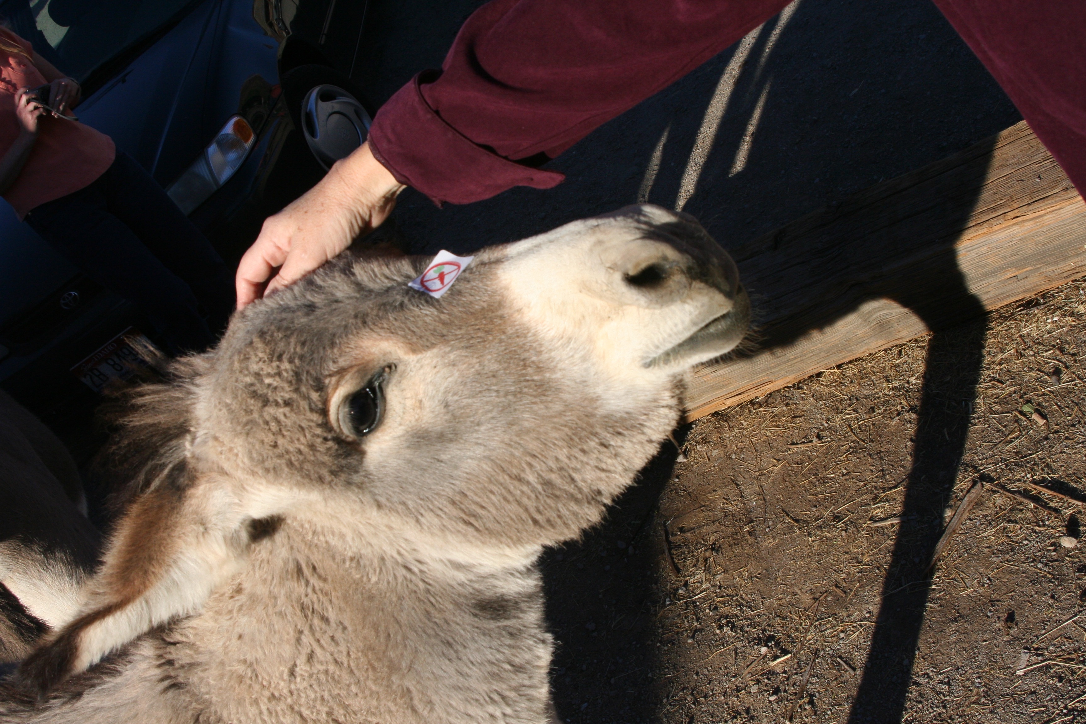
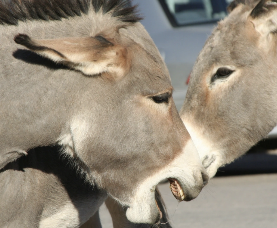
The wild burros, or donkeys, are a legacy of early prospectors who used the burros to carry their gear as they wandered in search of gold and other valuable minerals. Today they can be found throughout the desert Southwest. The burros of Oatman hit tourists up for carrots, provide lessons on donkey mating practices, and leave their calling cards on the streets of the town.

This cute little fellow had a no carrot sticker on his nose. Apparently young burros can choke on the carrots.
By 1960 the gold was gone and the highway was rerouted. Oatman was on its way to ghost town status. Fortunately the energy of the town’s citizens, the rebirth of Route 66 as a national historic treasure, and the desire of the burros for carrots have given Oatman reasons to prosper. It’s definitely worth a visit.
Oatman is located in northwestern Arizona off of Highway 95 on Historic Route 66 between Bullhead City and Needles.
The Peripatetic Bone joins an historic Route 66 sign on the edge of Oatman.
Historic Route 66 a few miles south of Oatman reminds travelers of another time and invites them onward.

A good reason to leave your windows up when visiting Oatman Arizona.

This photo deserves a caption. Mine would be, "Watch what you're sniffing, Mr.!"

Sheer pleasure?
