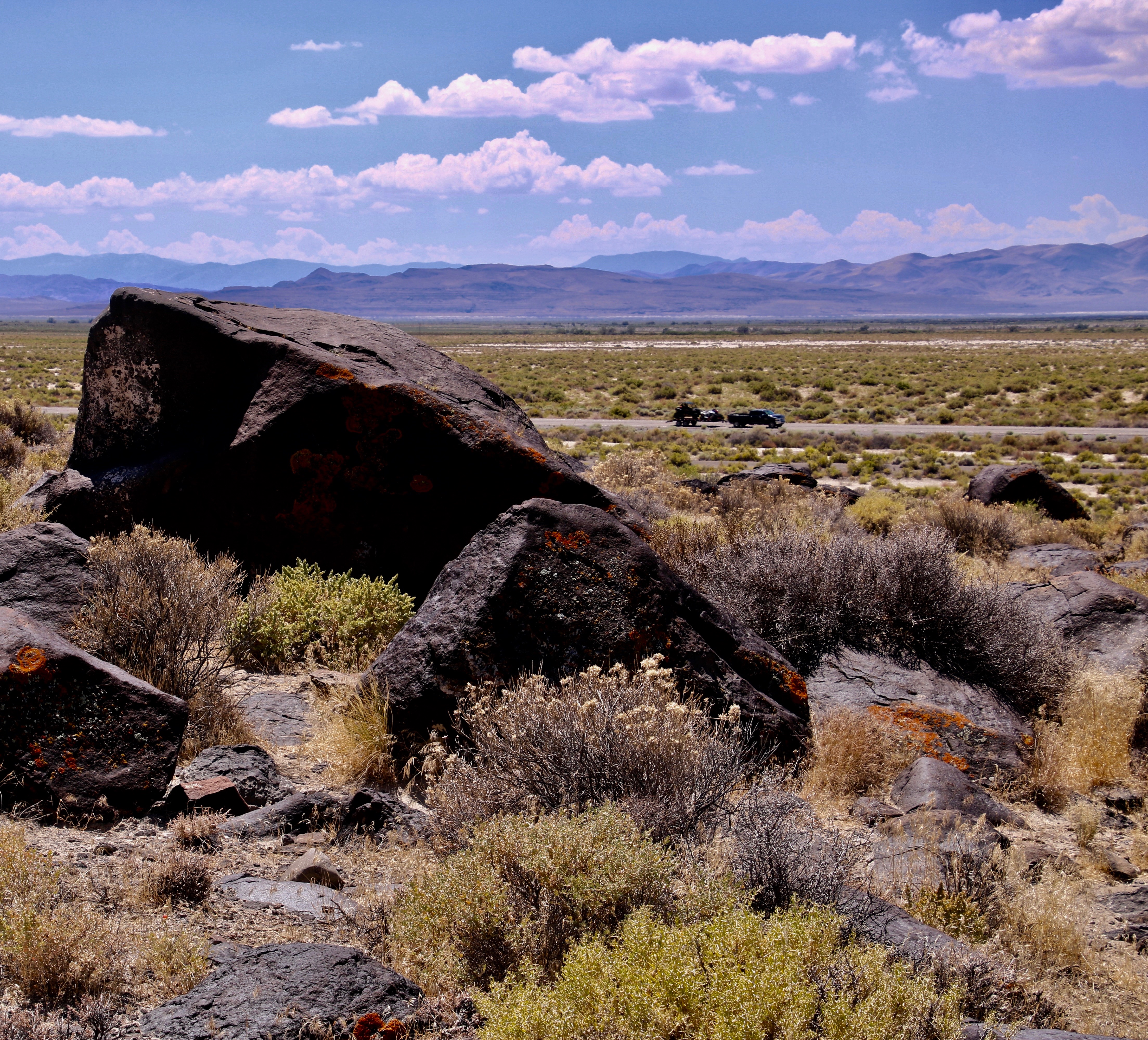
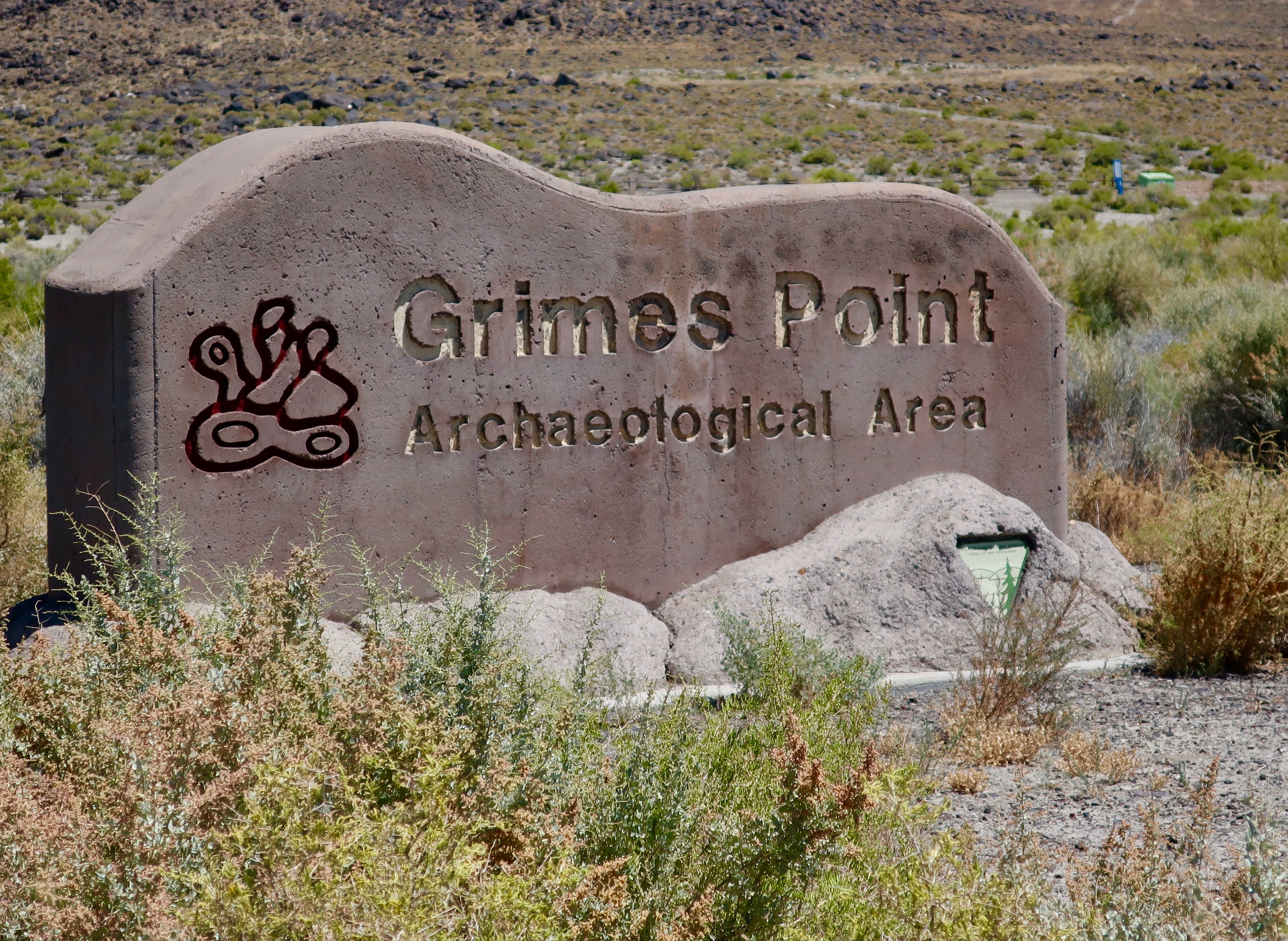
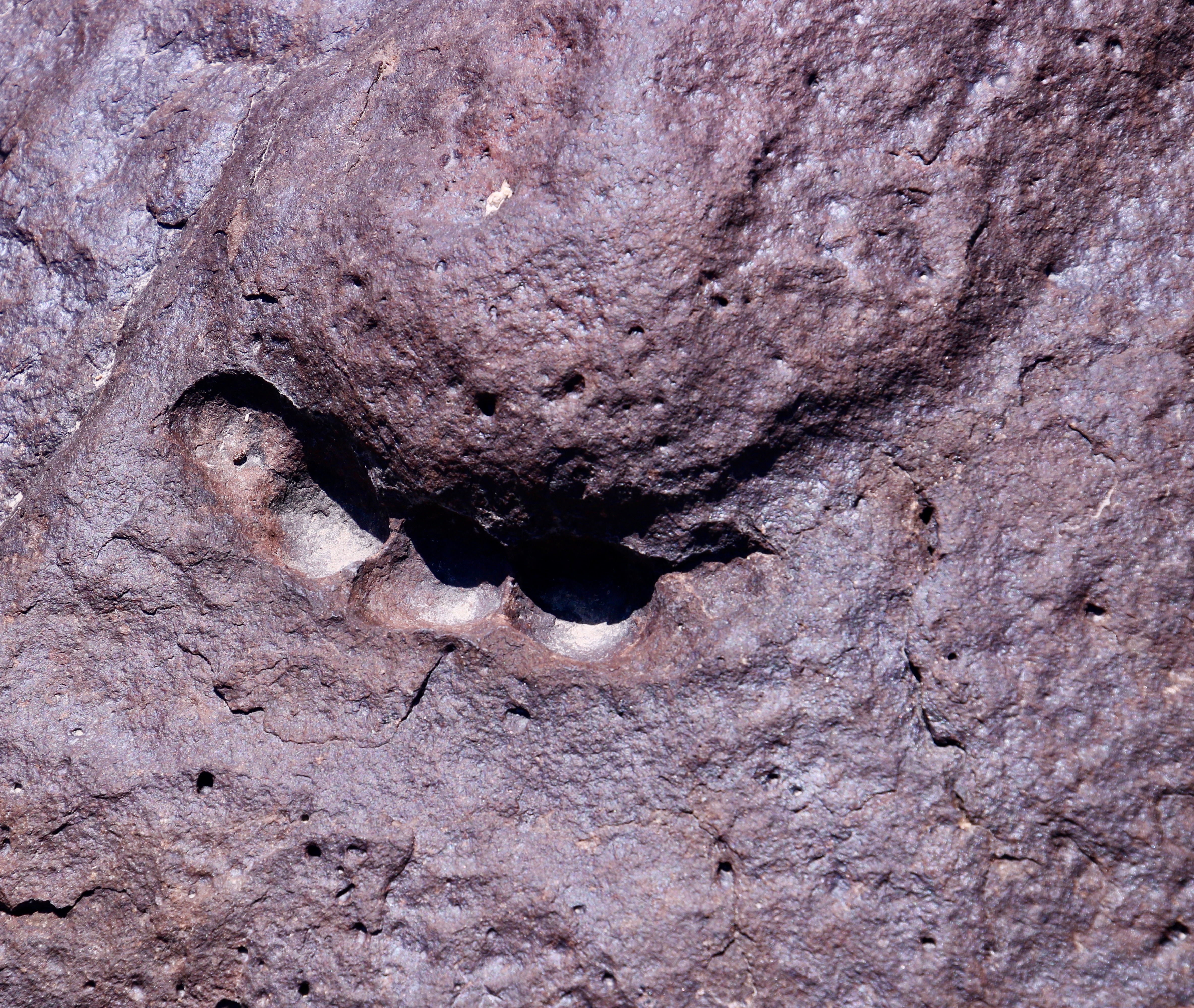
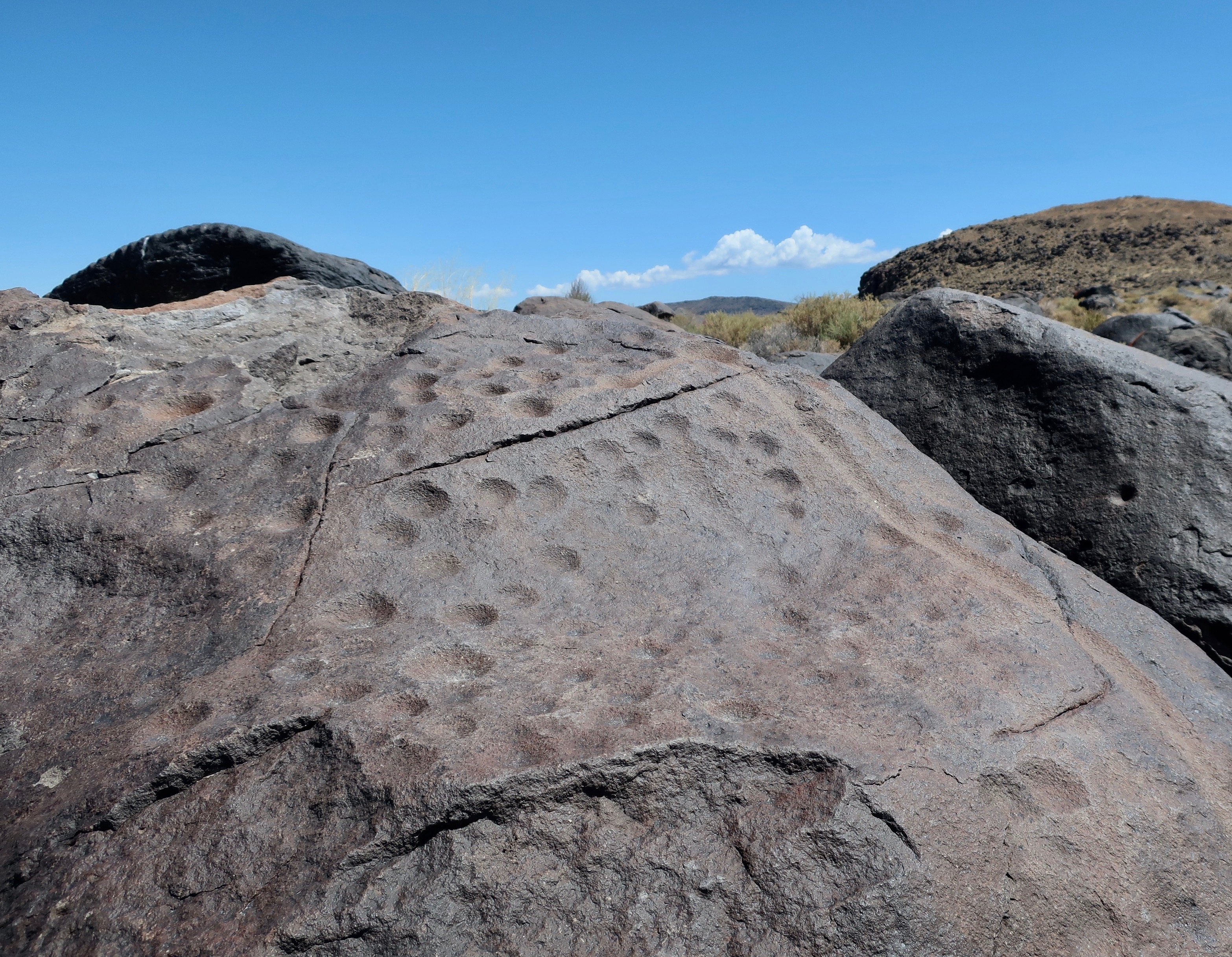
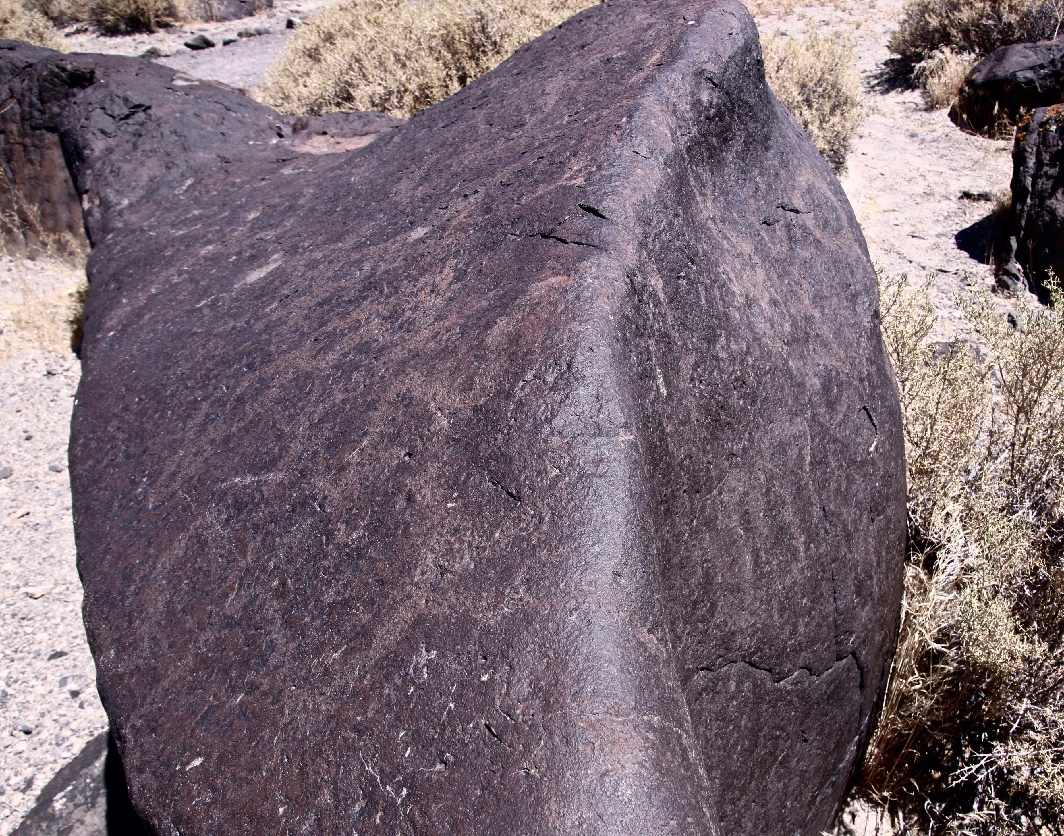
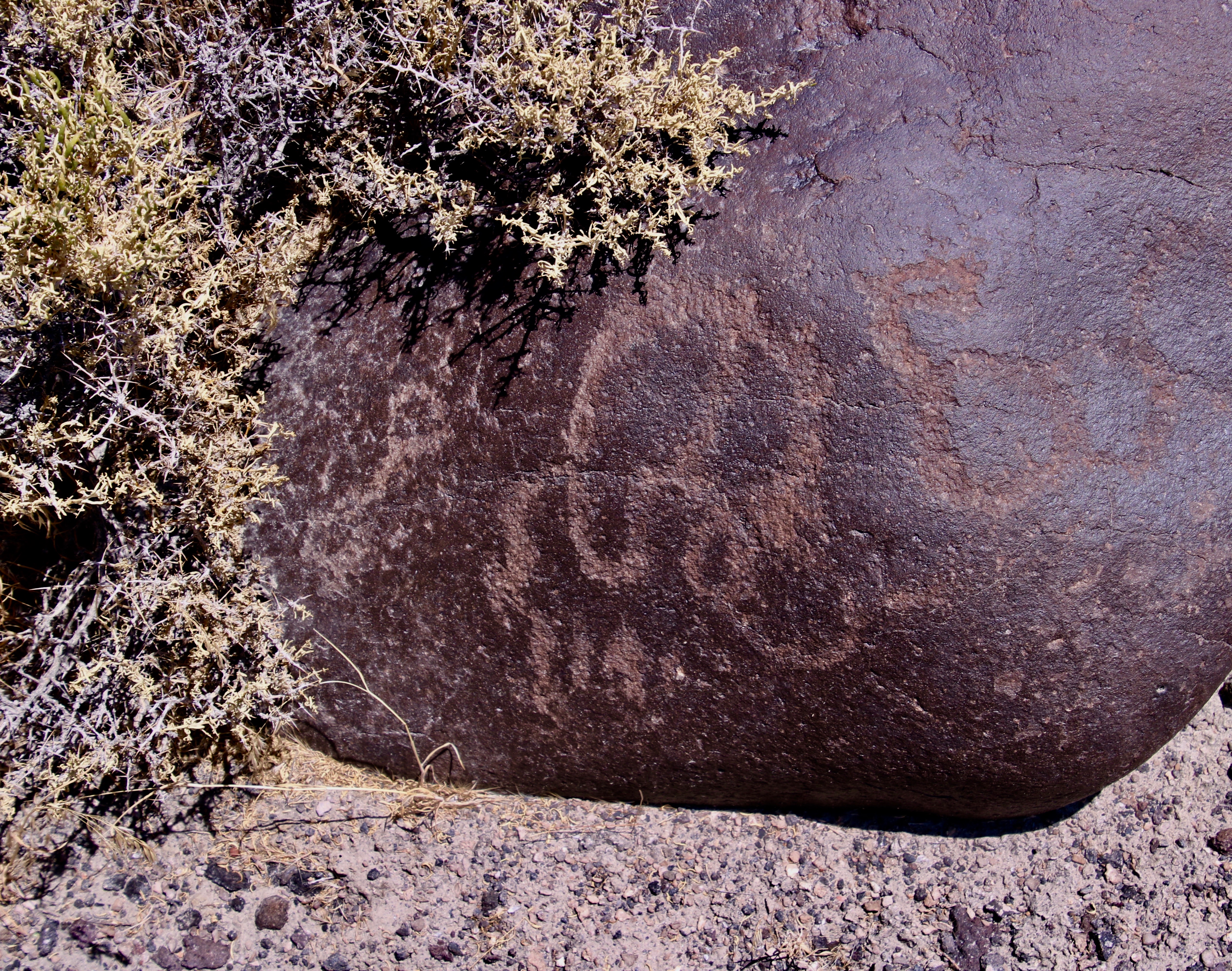
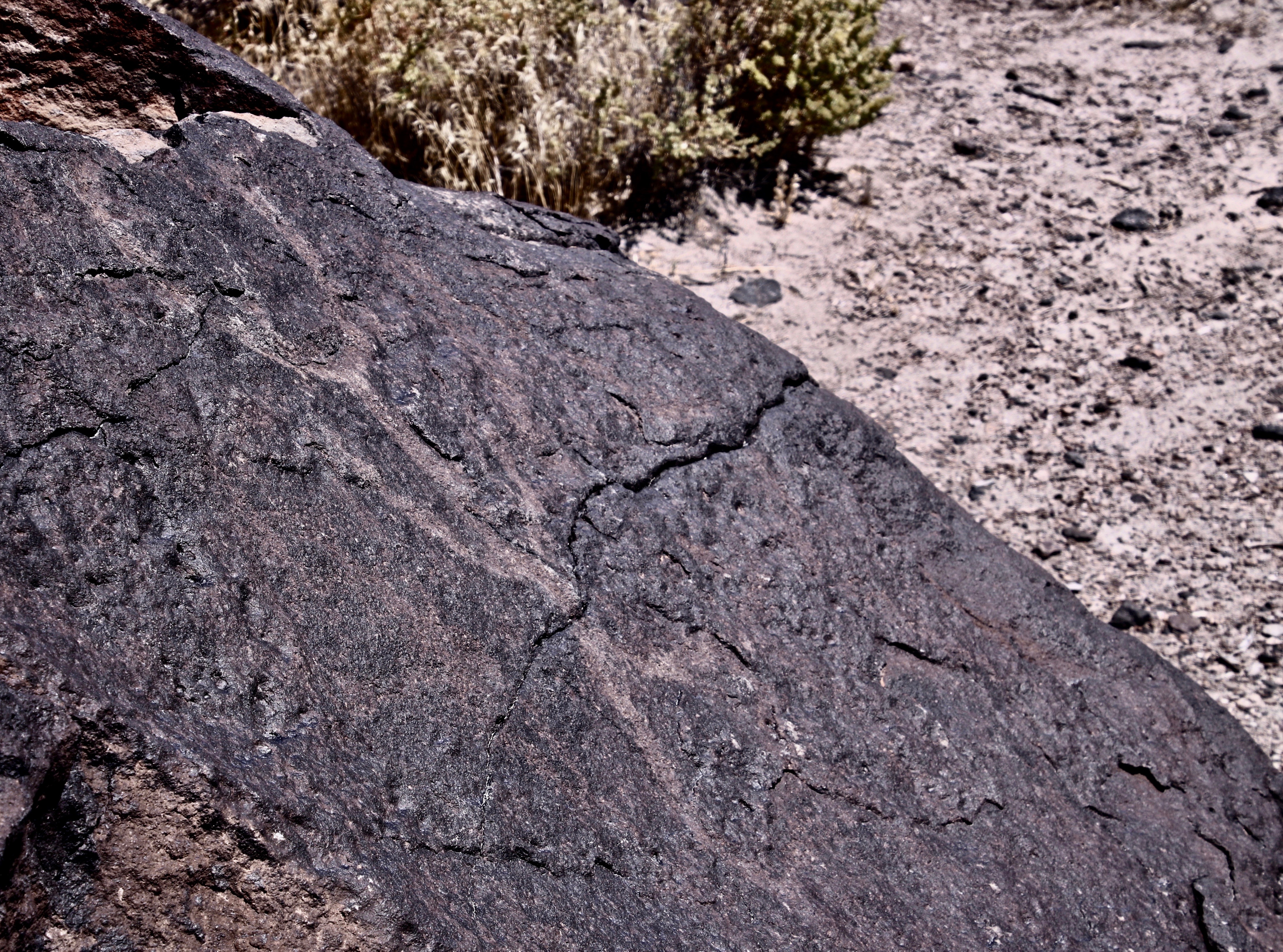
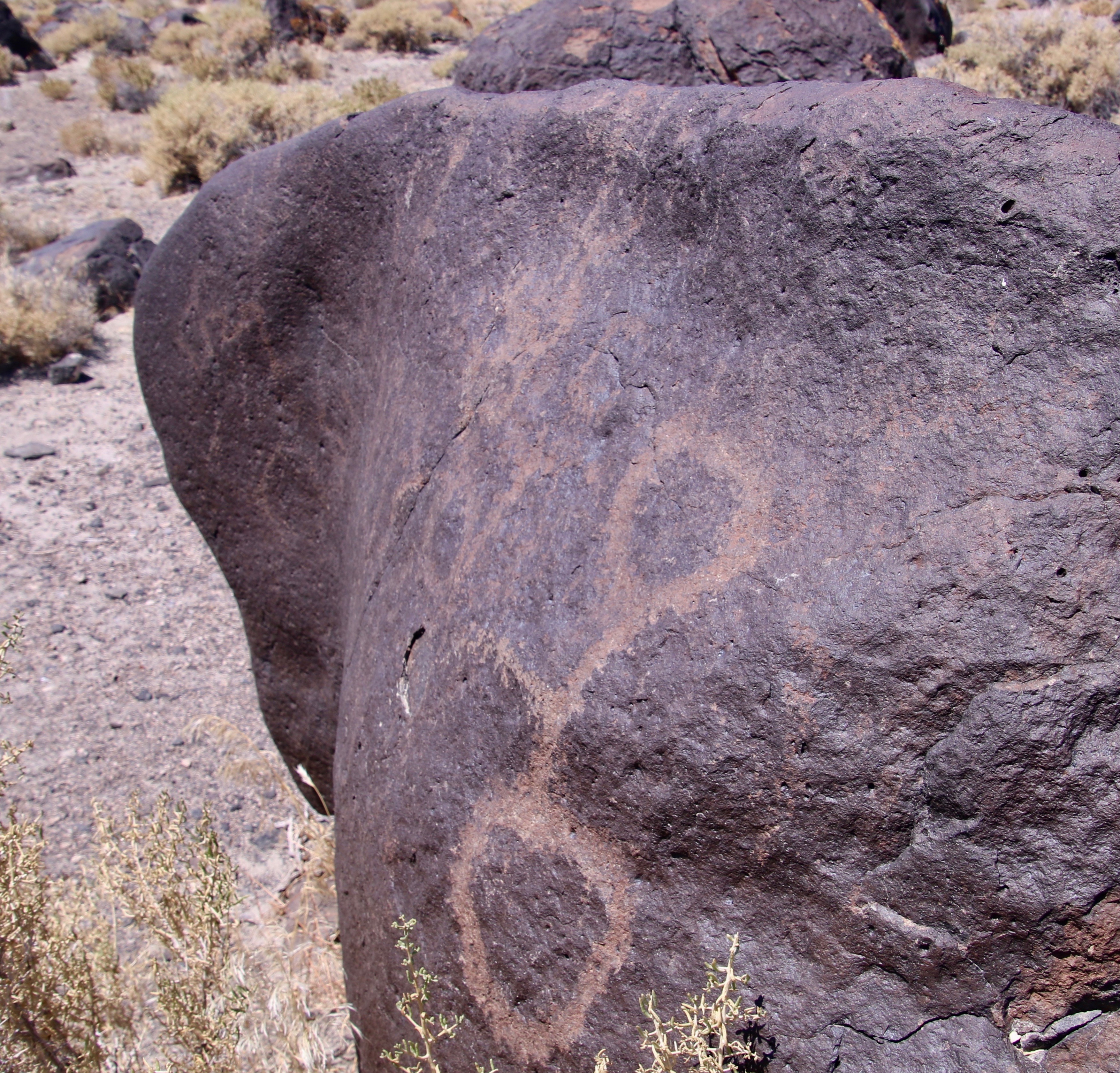
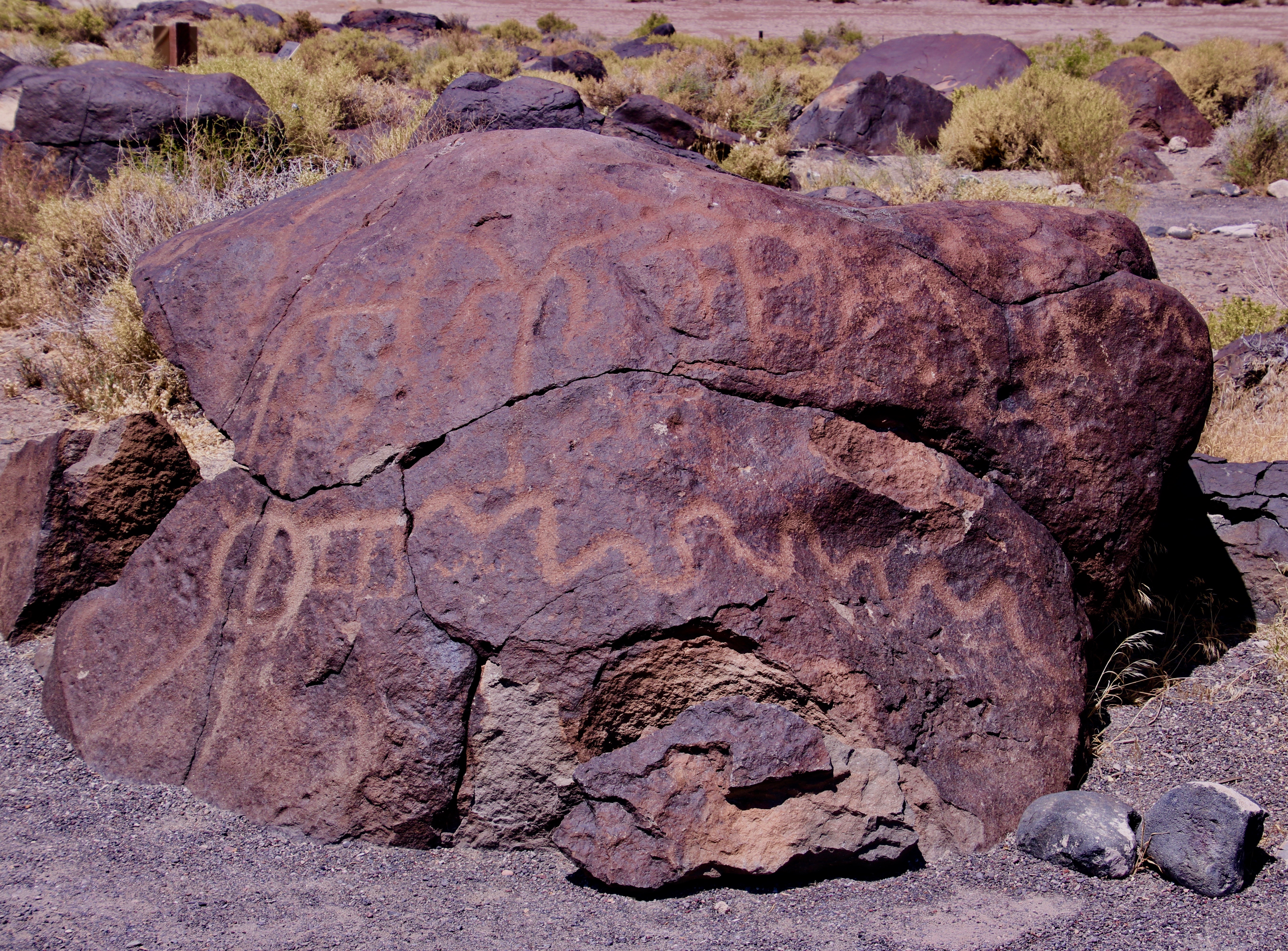
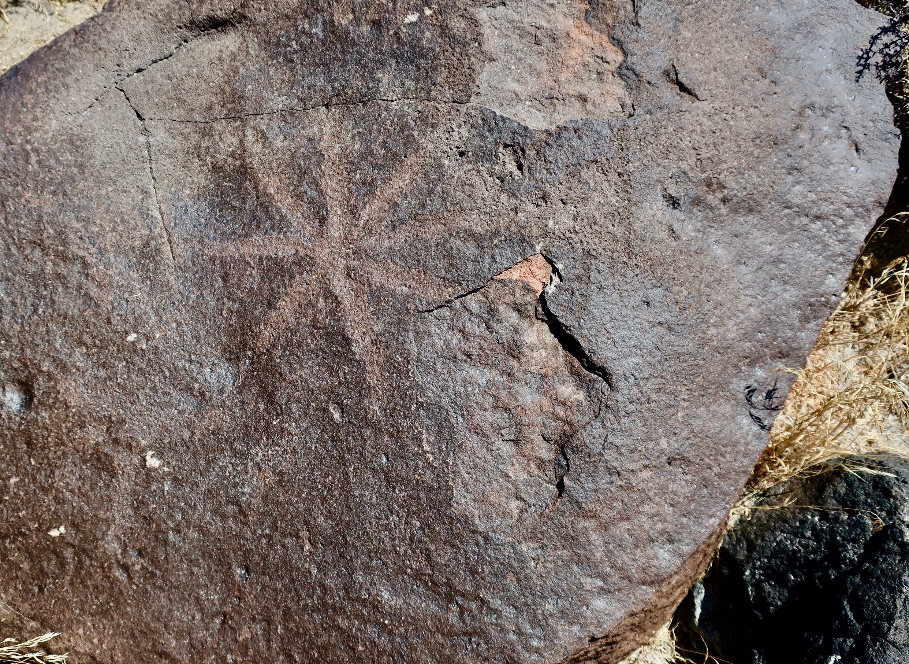
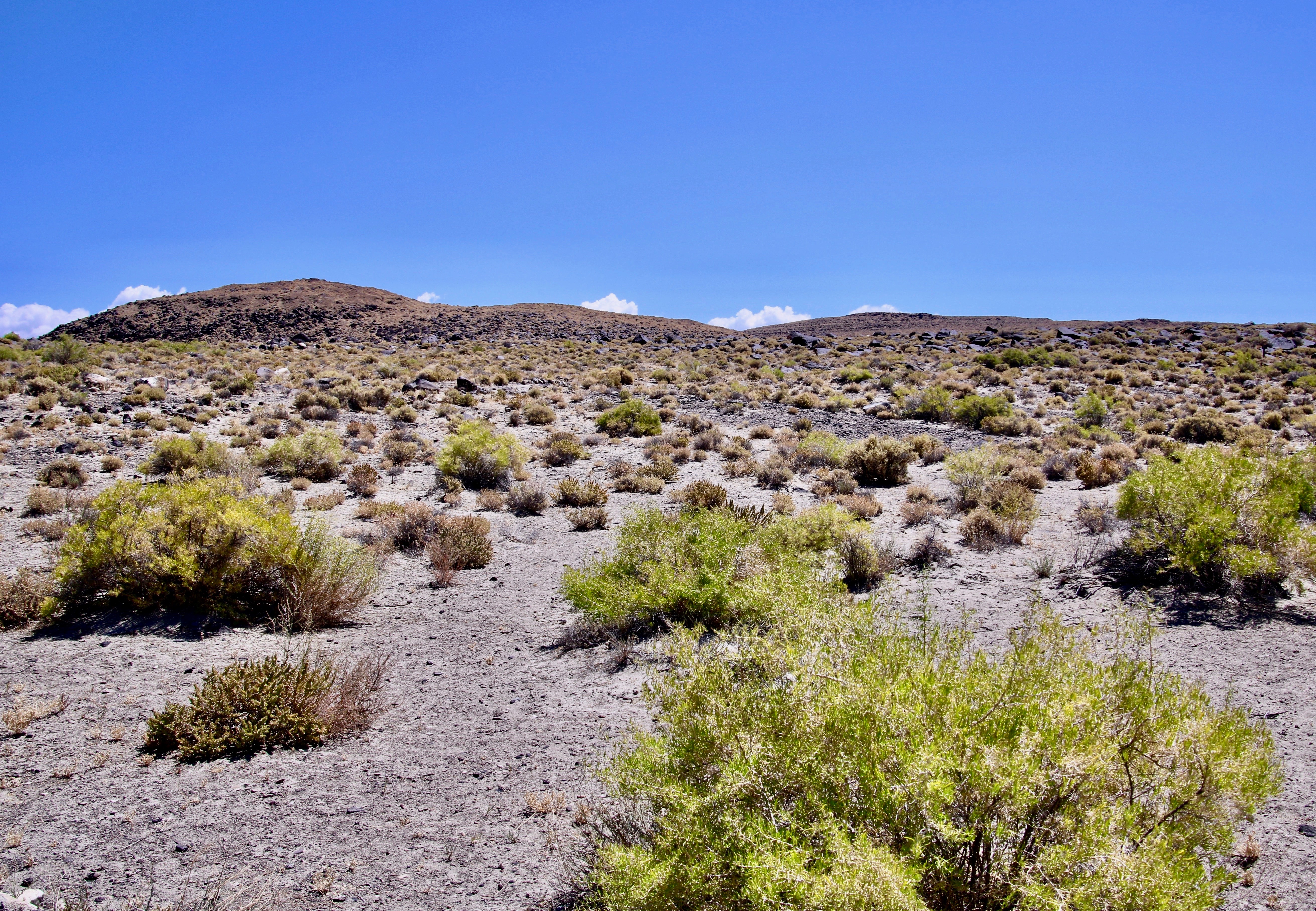
I took this photo while standing at Grime’s Point Archeological Area just off Highway 50 about five miles east of Fallon, Nevada on an earlier trip. The terraces above the basalt boulders were cut into the side of the ridge by the ancient Pleistocene Lake Lahontan as it rose and fell. Had I been here 10,000 years ago I would have been under 700 feet of water. Traveling over today’s Highway 50 route would have required a submarine.Turning around from where I was standing was more basalt and a view of Highway 50. A pickup pulling a trailer makes its way over ‘The Loneliest Road in America.” Looking across the valley you can see ranges fading into the distance that are part of the Basin and Range complex of Nevada, which is part of the Great Basin of the Western US.Had you arrived on the scene much later, say around 5,000 BCE or 7,000 years ago, you would have discovered that Lake Lahontan was much shallower as glaciers receded to the north and warmer temperatures prevailed. The area would have been marshy and filled with abundant wildlife. Ancient peoples had arrived on the scene and were pecking away at the rocks, creating some of the earliest petroglyphs in Nevada and North America. Grime’s Point features these petroglyphs. A copy of one of the petroglyphs is on the left.The pit and groove petroglyphs here are among the oldest petroglyphs found in Nevada.As to what they mean is anyone’s guess. One thought is that they were used in hunting rituals by shaman to assure success. This basalt boulder was covered with pit petroglyphs. Ancient peoples and later Native Americans would use rocks to peck away the desert varnish that covers rocks to show the lighter rocks underneath. One way of measuring the age of petroglyphs is to see how much desert varnish has since re-covered the rock petroglyphs. The color of these pit and groove petroglyphs has returned to the original varnish color. Translate old.In contrast, this is a much more recent petroglyph, probably carved in the last 500 years. To me, it appears to be a big horn sheep. But then again…Most of the petroglyphs fall somewhere in age between the ‘sheep’ petroglyph above and the pit and groove style of petroglyphs. I like the almost-polished look of this basalt boulder. If you look carefully, you can see petroglyphs stretching down and out on both sides of the rock. Following are several examples of the petroglyphs I found wandering around among the boulders. It’s like a treasure hunt. Fun.I’ll conclude with a final view of the landscape at Grime’s Point Archeological Area. Remains of what may have been a rock fence used to drive deer and antelope to the dinner table is found up near the top of the ridge.
BLOG-A-BOOK TUESDAY: Join me on the first 100-mile backpack trek I ever organized. Leading 61 people aged 11-71 across the Sierra Nevada Mountain Range, I was lucky to escape with my life and career in tact.
TRAVEL BLOG THURSDAY: Peggy and I continue our Back Roads of America Series by stopping off at another petroglyph site along The Loneliest Road in America: The Hickison Petroglyph Area. This time we will be featuring some out-of-this-world rocks and, uh, puberty rites.