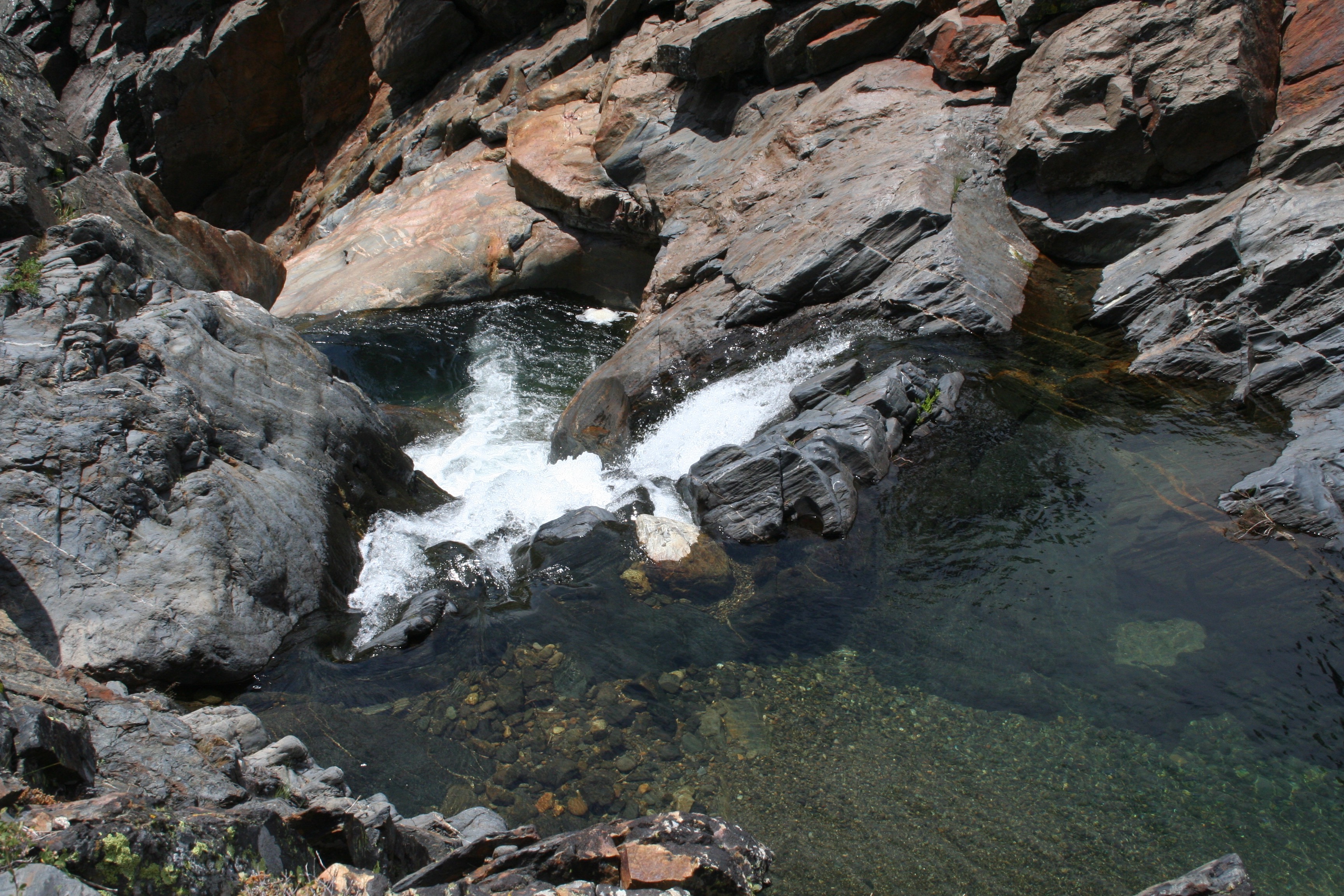
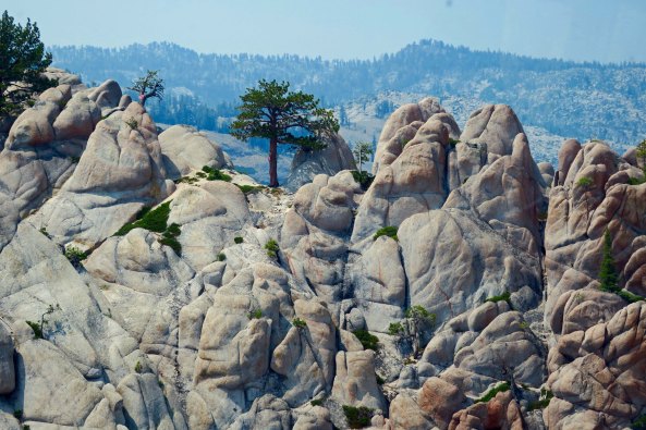
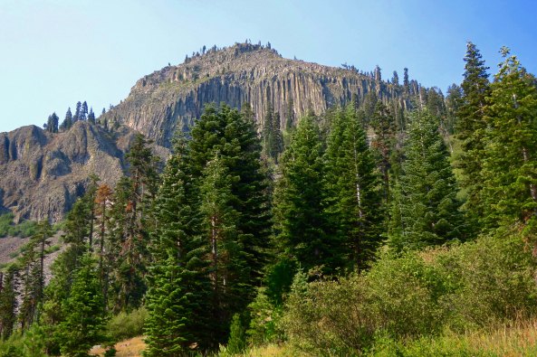
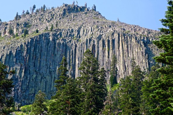
The Granite Chief Wilderness behind Squaw Valley, home of the 1960 Winter Olympics, is an area of rugged terrain and natural beauty. This pool on Five Lakes Creek was an open invitation for a dip on a hot summer day. (Photo by Peggy Mekemson.)
The vision part of being a visionary is always the easy part, as any visionary will tell you. It is the execution of the idea that separates the mouse from the moose. In my first blog on the Sierra Trek, I told how Steve Crowle and I had come up with the crazy idea of raising money for the non-profit I was executive director of by running a 9-day, 100-mile backpack trip in the Sierra Nevada Mountains of California. I had six weeks to plan and run the event. It would have been a major undertaking even if I had six months!
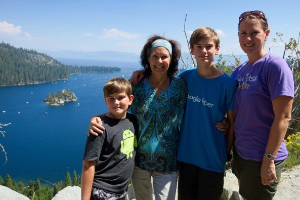
A note on photos: I didn’t take any pictures during the first Sierra Trek. It was before I became interested in photography, plus I had my hands full shepherding 63 people across the mountains— as you will learn. The photos in this blog and in the rest of the series were taken on later Treks and on personal trips in the Sierra’s and other California mountain ranges where we trekked. They will give you an idea of why I fell in love with backpacking and the Sierras.
My first challenge on the trek was selling it to Board of Directors. Running a backpack trip as a fundraiser was a huge leap from sending out Christmas seals. At 29, I was close to the youngest Lung Association Executive Director in the nation in 1974 and I had already ruffled some feathers. A research doctor from UC Davis was foaming at the mouth because I wanted our organization to focus on prevention programs as opposed to medical research. What would he think of me running off to the woods on a backpack trip?
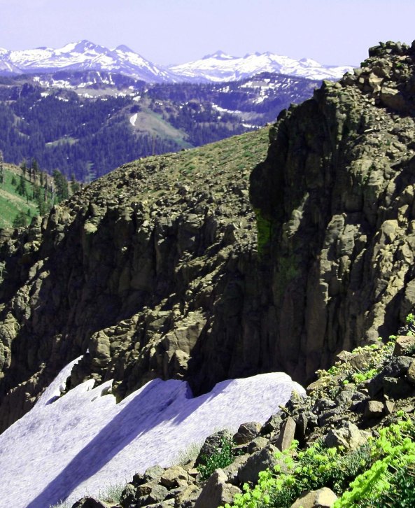
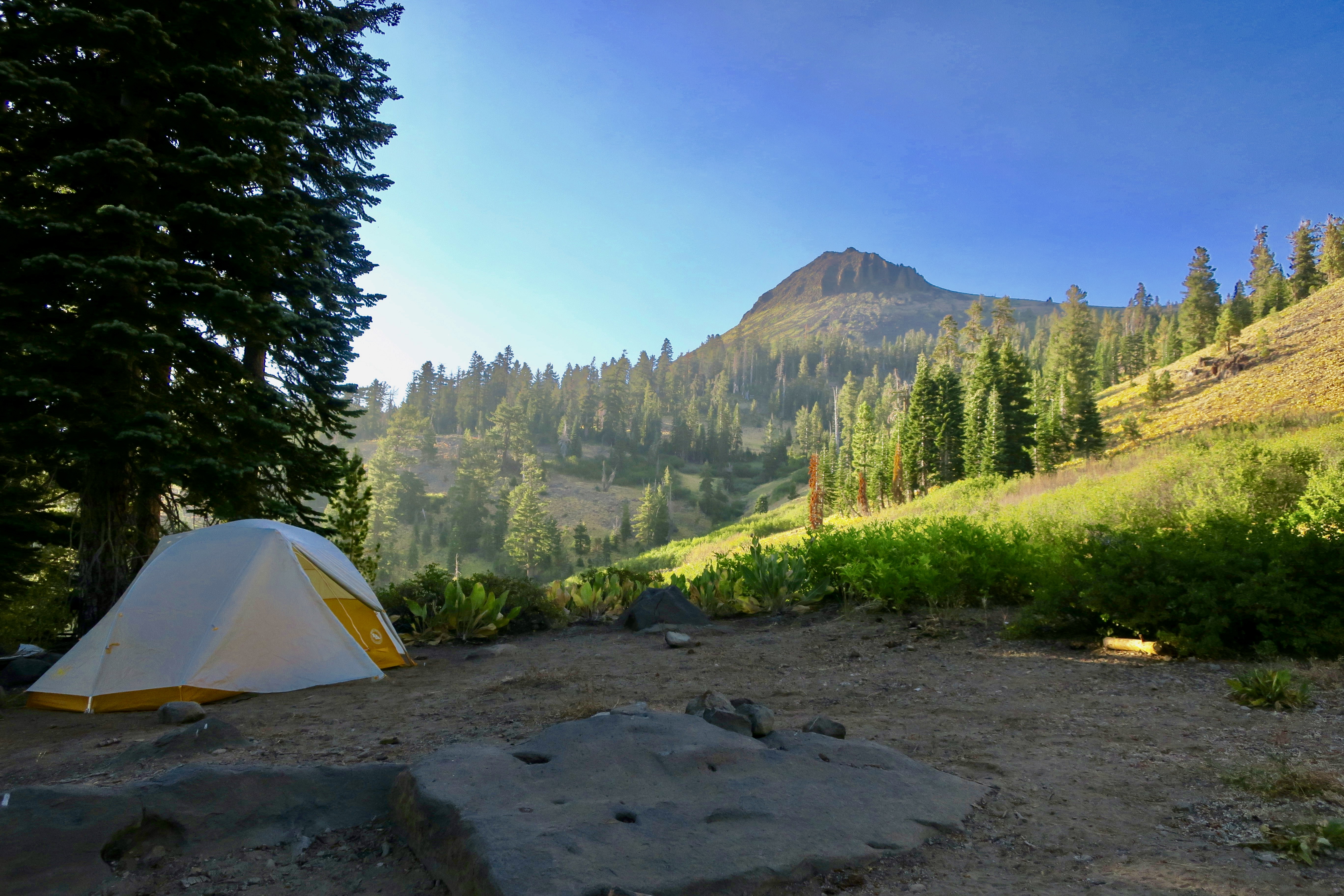
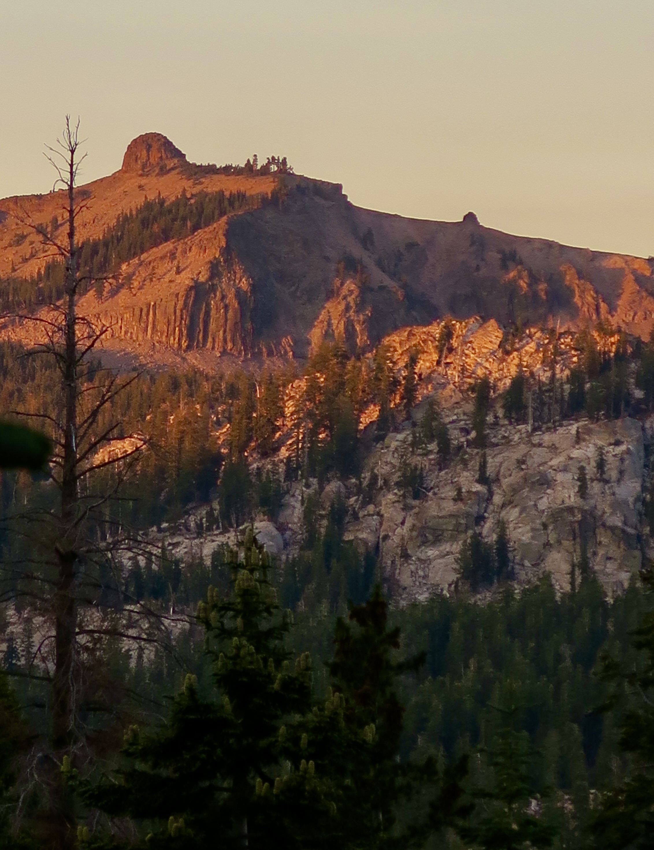
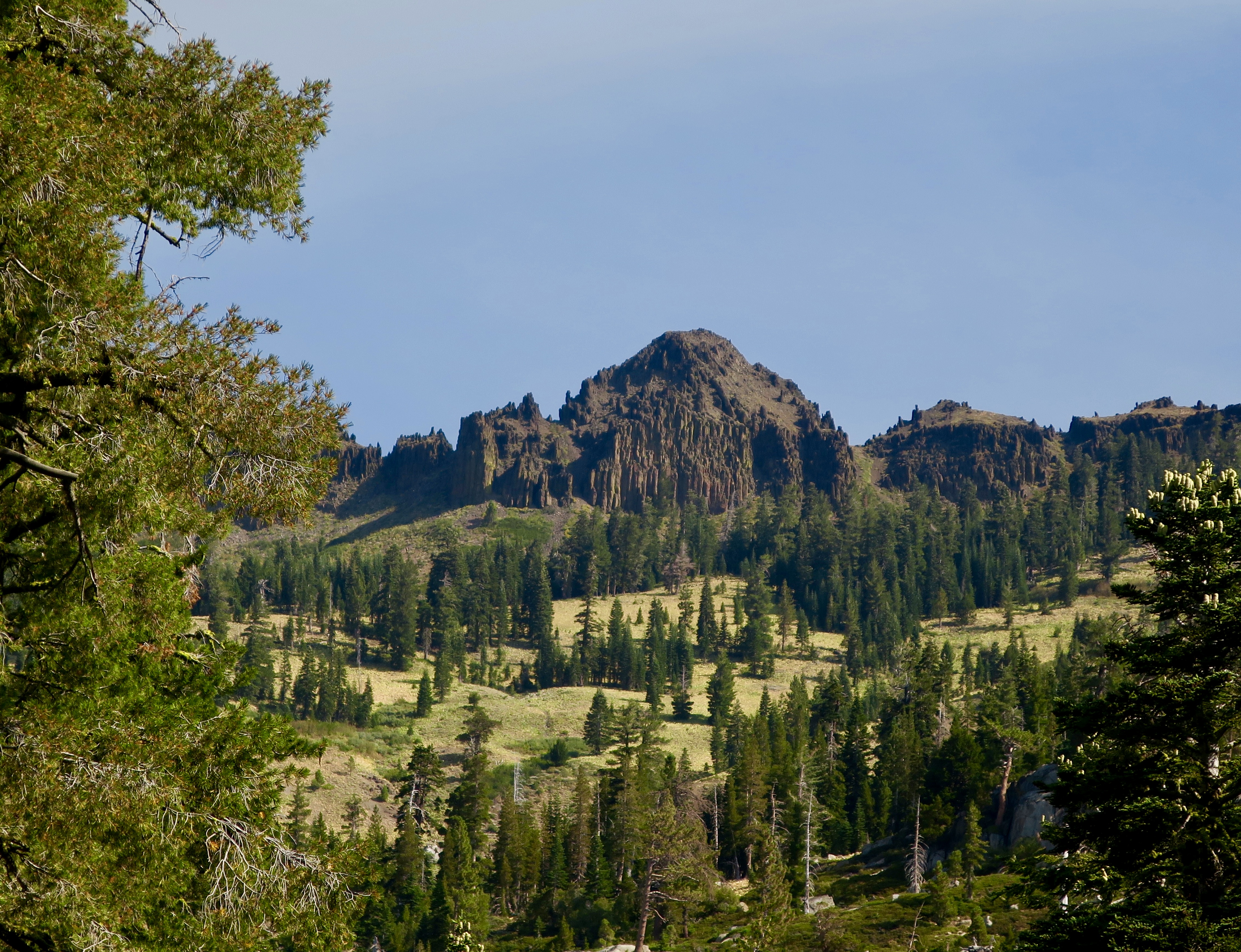
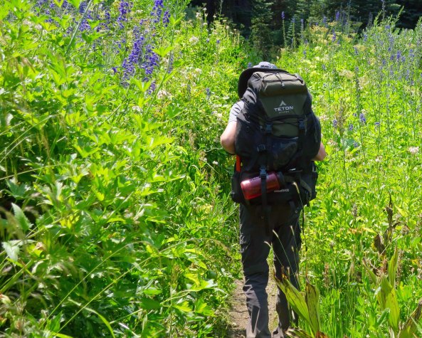
Leading a group of people through rugged terrain for long distances was a bit more scary than sending out Christmas Seals. Here we are looking south from the Granite Chief Wilderness to the Desolation Wilderness, a route we followed several times on the Sierra Trek. Snow would often be a challenge on our adventures.
“You want to do what?” with a decided emphasis on the first and fifth words is the best way I can describe the Board’s reaction to my proposal. It was easy to translate: “Why would a 29-year-old executive director with less than a year of experience under his belt, want to risk his career on such a harebrained idea?”
I echoed wild Steve, “Why not?”
Actually I had a great Board. Once the members were convinced that this was something I really, really wanted to do, their final response was “OK, go for it!” I called Steve immediately. I had a wide range of responsibilities ranging from administration to program to fundraising. I would have a limited amount of time to devote to the project and I didn’t know anyone else who was crazy enough to take on the challenge.
I had originally talked Steve into replacing me as Executive Director of Sacramento’s Ecology Information Center with a sales pitch that included, “Look, I have this great job where you work 60 hour weeks, have a Board that likes to scream at each other, and has a starting salary of $200 per month. Are you interested?” Minus a screaming Board of Directors, organizing the Trek wouldn’t be all that different.
Steve had a bright, curious mind and was knowledgeable on environmental issues. He also seemed to have unlimited energy and was built like a bear. It had served his well as Executive Director of EIC. In addition to overseeing the Center’s ongoing projects, he had immediately set out to develop a community garden downtown. Initially known as the terra firma Garden and later as the Ron Mandela Garden, it would provide inner city residents with a touch of nature for over 30 years— all the way until the State of California decided to grow buildings on the site.
The downside about Steve was that he existed on the edge. I later learned that one of his friends who he recruited to volunteer on the Trek frequently flew to Columbia and returned with his cargo holds filled with pot. Steve was a ‘person of interest’ to the FBI.
A year after the Trek, Steve called me and told me that the FBI had showed up on his doorstep. My immediate thought was that they had tied Steve to the Colombia operation or that some of the terra firma/Mandela gardeners were growing marijuana. Steve’s concern was that his radical youth was catching up with him. He had been a little too close to the fire when the Bank of America had been burned down in Santa Barbara in 1970 as a protest against the Vietnam War. “And what were you doing with those matches?” Mr. Crowle. (Steve told me the Santa Barbara story a few years ago before he passed away.)
Actually, the FBI had bigger fish to fry. Apparently one of his gardeners had gone from farming her plot to plotting an assassination. Young Lynette Fromme grew up in Southern California where she was a star performer in a children’s dance group, performing at such venues as the Lawrence Welk Show and the Whitehouse.
At 19, a strong disagreement with her dad sent her scurrying off to Venice Beach where she found comfort from an older man, Charles Manson. She soon found herself one of Manson’s clan, taking care of an aging George Spahn at his ranch where the ‘family’ hung out. It was Spahn who gave Lynette her nickname “Squeaky,” because, as legend has it, she squeaked each time he tried to grope her.
Squeaky missed out on the murderous rampage the family undertook in 1969 killing Sharon Tate among others, but she remained intensely loyal to Charles, defending him to the press and anyone else who would listen. After Manson’s conviction and sentence to a lifetime in prison, she moved to Stockton where two of the people she was living with, James and Lauren Willett, mysteriously ended up dead.
Abandoning Stockton, Squeaky moved to Sacramento and rented an apartment with another Manson groupie, Sandra Good. The two of them adopted a new life style and persona as ‘nuns’ in Manson’s latest crusade, saving the earth. Manson even gave them new names with Squeaky becoming ‘Red’ and Sandra becoming ‘Blue.’ It was with her new name, persona, and purpose that Squeaky took up gardening at the Mandela Garden. Steve knew her, of course (she liked his intense eyes), but knew nothing about her background.
It was with her new purpose of ‘saving the earth’ that she left her apartment on the fateful morning of September 5, 1975 and strolled over to Capitol Park where she got within a few steps of the visiting President Gerald Ford before pointing her Colt 45 at him, creating immediate pandemonium. She later claimed she was “just trying to get the President’s attention.” She did. Three months later she found herself convicted of an attempted assassination and in prison.
As for Steve, he informed the FBI that he didn’t have a clue as to who Fromme was or what she was up to other than being a gardener. Like Pangloss, he went back to cultivating his garden.
But all of this was in the future. My phone call to Steve went something like the following:
“How would you like to go backpacking and get paid for it?” I asked.
“Give me a hard question,” Steve responded.
“Are you willing to work for two dollars an hour?” I casually threw in as fine print.
“That,” he replied, “is the question.”
I went on to explain that while the Board members had approved of the concept, they weren’t particularly enthusiastic about spending large sums of money to see if it worked. I could just barely squeeze out the minimum wage of the day for two months to see if we could pull it off. Steve, after ample groaning, allowed that it would supplement what he was earning at the Center and took the job.
My next responsibility was to come up with a name. While thinking of backpacking 100 miles in nine days the word trek popped in to my mind. So I looked it up in the dictionary. “A long, arduous journey” was the definition. That seemed appropriate, and since we were doing our long, arduous journey through the Sierra Nevada Mountain range, I decided to call it the Sierra Trek.
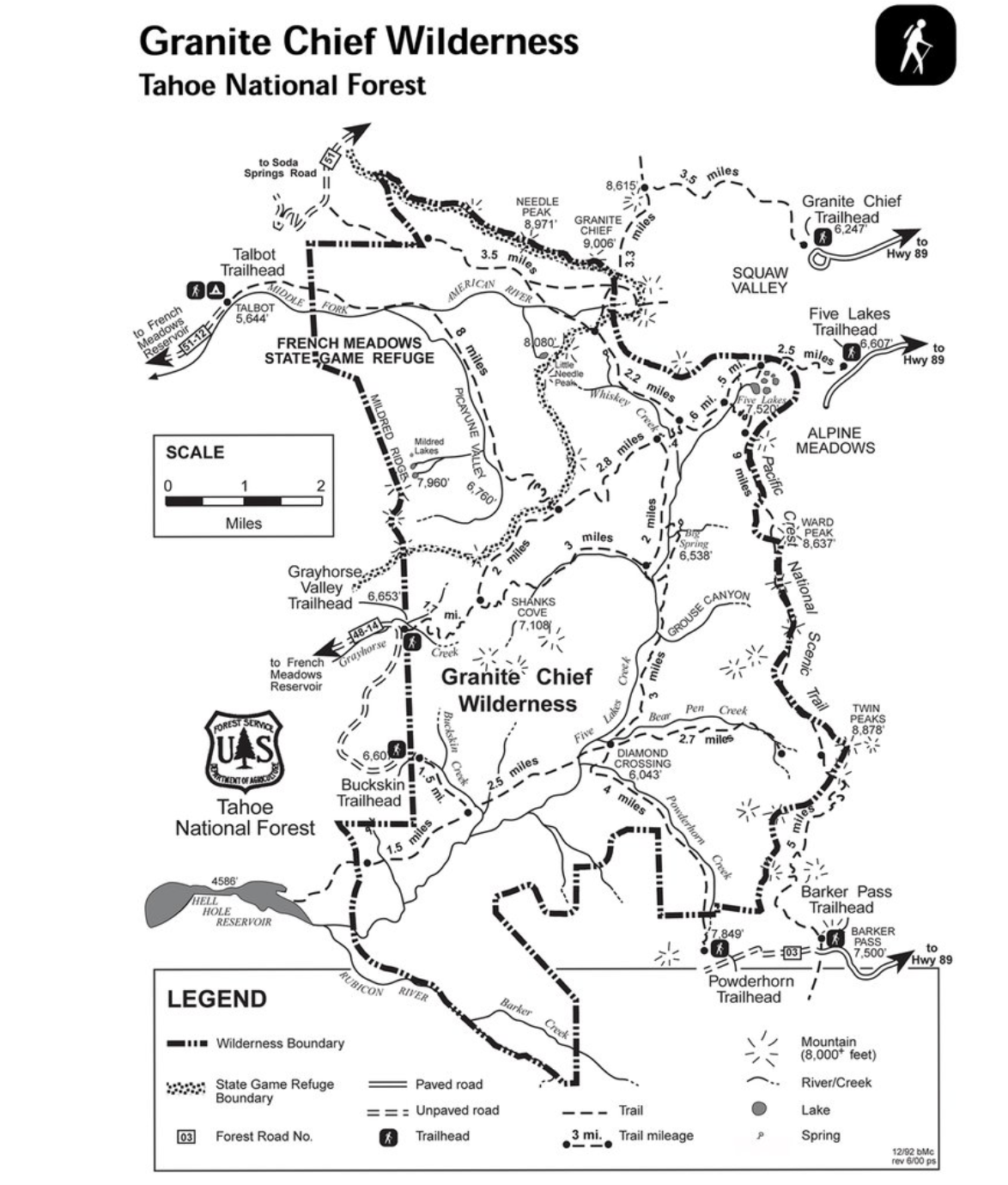
Where to go posed a more serious challenge. I came up with three criteria: one, it had to be 100 miles long; two, it needed be in our territory; and three, the trail should be easy to follow. The hundred miles was a given, and ‘being in our territory’ seemed feasible since several of ALASET’s (the American Lung Association of Sacramento-Emigrant Trails) nine counties encompassed a significant portion of the Northern Sierra.
The clinker in our selection process was the ‘easy to follow.’ I had nightmares of having Sierra Trekkers lost all over the mountains with Steve and me scrambling to find them. We’d be lucky if we could avoid becoming lost. Serendipity stepped in and helped out. I was reading the Sacramento Bee when I came across our solution.
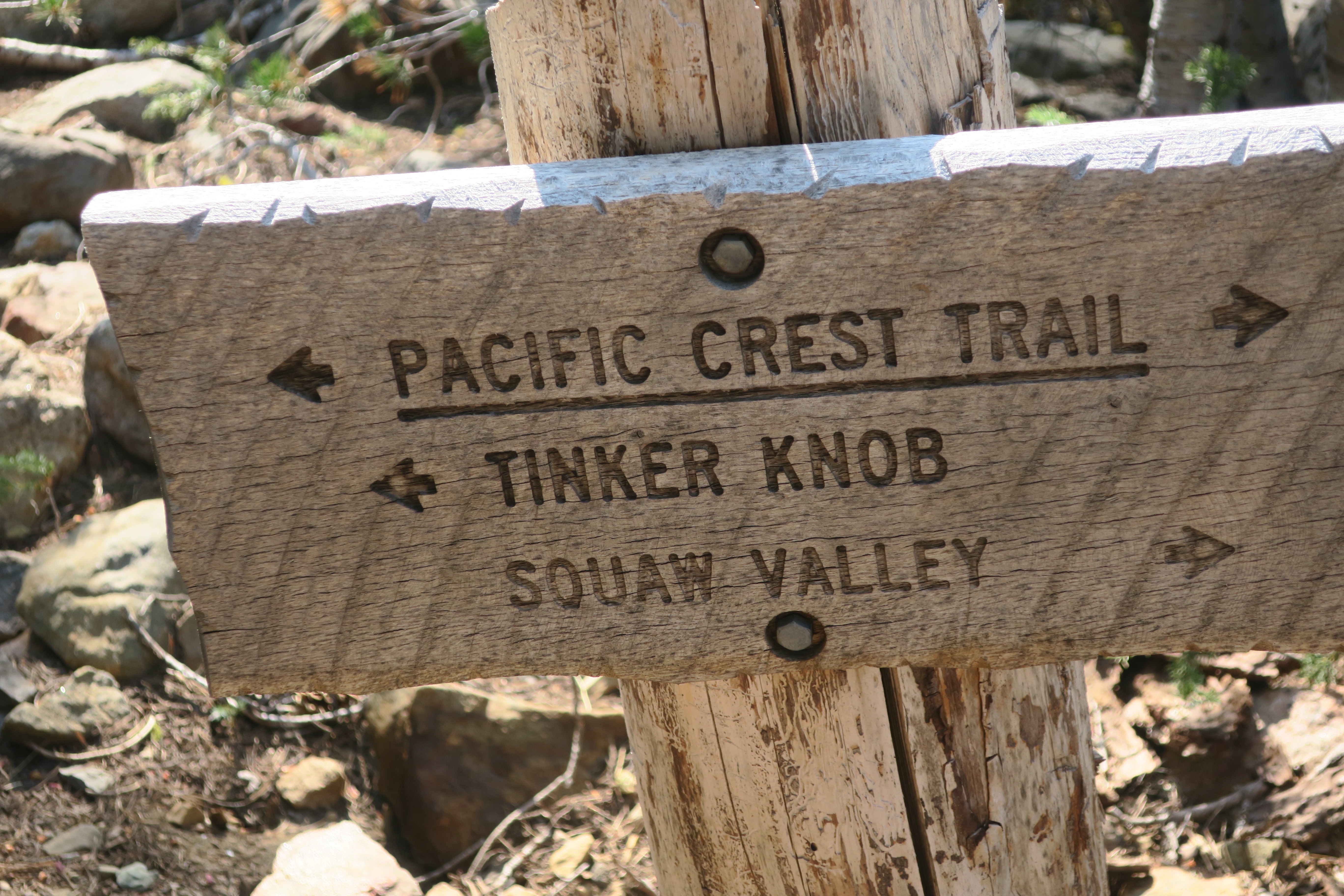
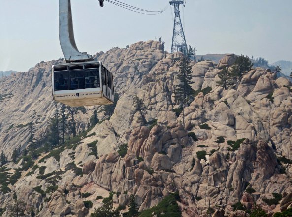
The horse people were planning their annual 100-mile horse race across the Sierra Nevada, the Tevis Cup Race. The event started in Squaw Valley and ended in Auburn. Horses had to follow substantial trails, I reasoned. Squaw Valley had been the sight of the 1960 Winter Olympics and would provide an internationally known resort to kick off our event.
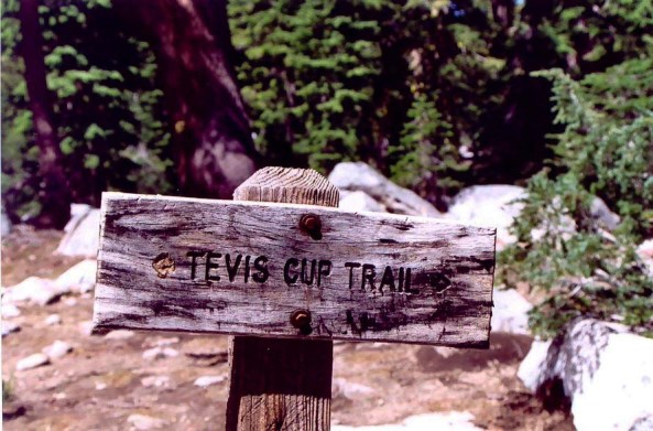
A trail sign marking the Tevis Cup horse race. The same route is now used for a 100-mile ultra marathon run across the mountains.
Auburn was one of the main foothill communities in the Association’s territory and would make an ideal ending place. The trail had the added advantage of being an early trail used by pioneers. We could use the historical angle and tie in with our name. My major concern was following a trail filled with horse poop.
Steve made contact with the woman in Auburn who was organizing the Tevis Cup Race. “Yes, the trail is easy to follow.” They marked it with yellow ribbons and the ribbons would still be up for our Trek. As for my concern about horse manure, “There should be plenty of time between the race and your trek for the manure to dry out.”
“Fine,” I said to Steve when he reported back, “our Trekkers will be shuffling down trails in dry horse shit up to there ankles.” On the other hand, I thought, we can tell them to follow the horse droppings if the ribbons run out. The important thing was we had a route and could begin publicizing the event. Steve and I agreed to preview the route in advance of the Trek to pin down campsites and reduce the possibility of nasty surprises.
So now, we had a route and a name. It was time to recruit participants, obtain food, and preview the route— all of which I will include in my next blog, where I will also learn a very valuable lesson from a 70-year old.
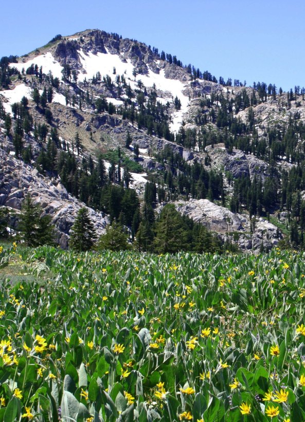
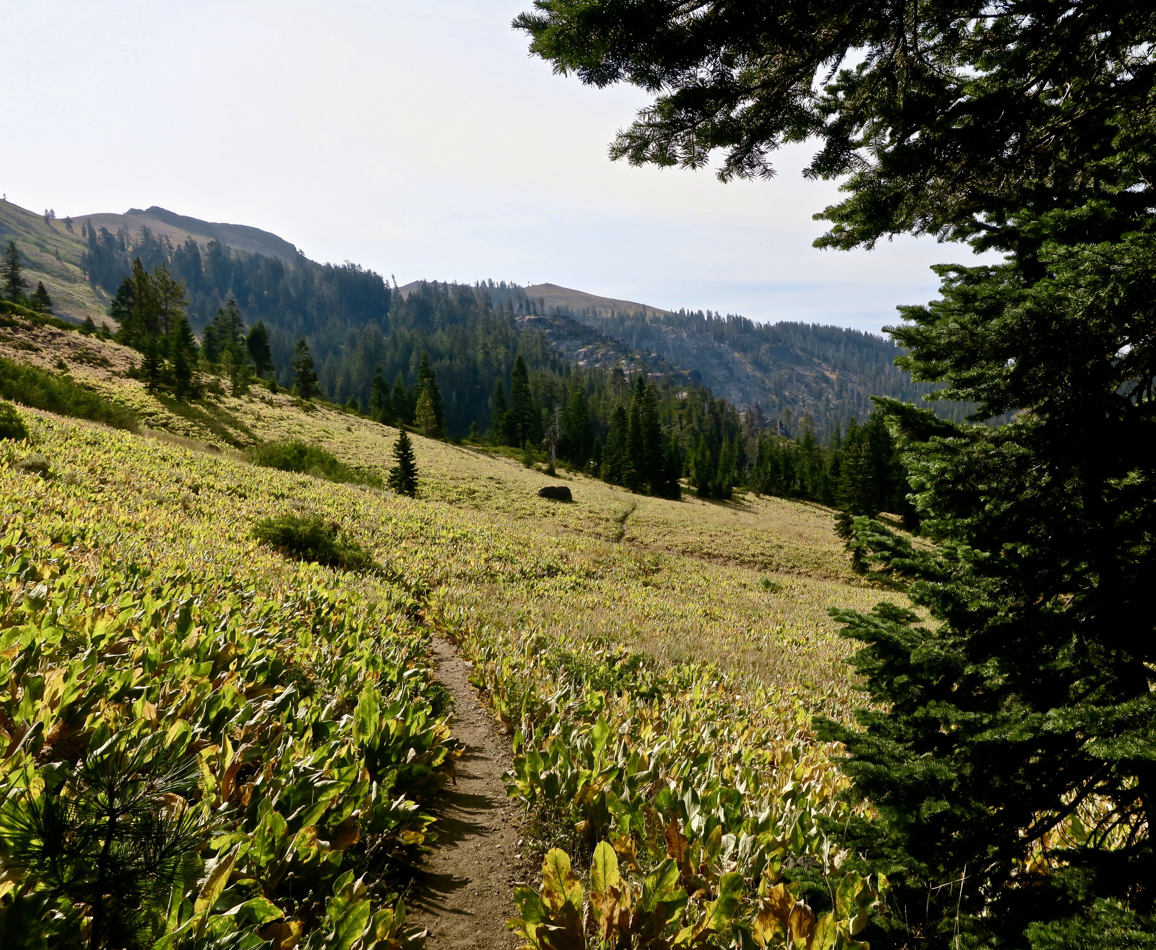
One of my favorite Granite Chief Wilderness views. Lake Tahoe, Squaw Valley, and Alpine Meadows are on the other side of the mountain. The flowers are called Mule Ears. (Photo by Peggy Mekemson.)

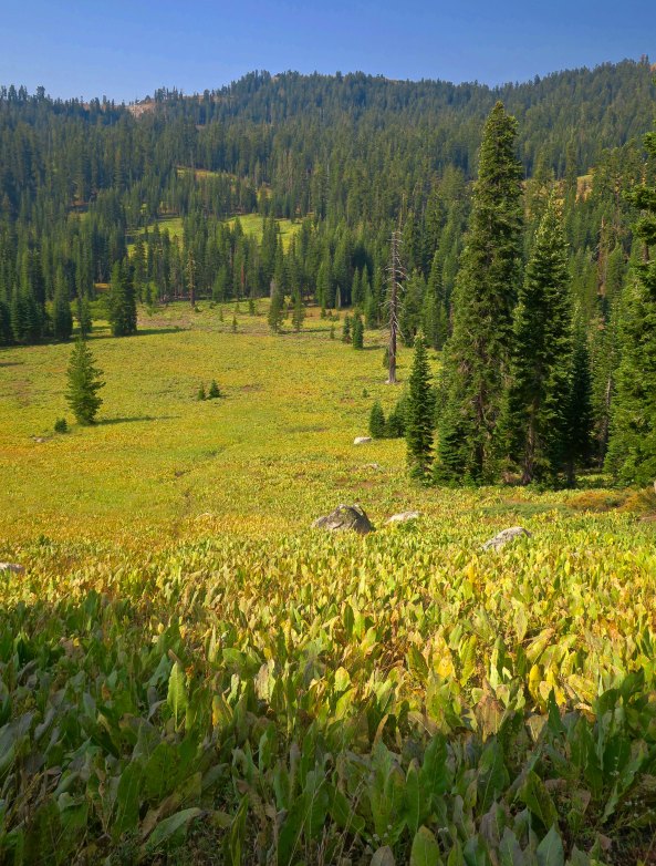
Another field of mule ears in Granite Chief. The trail wound its way through here.
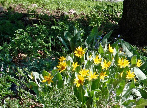
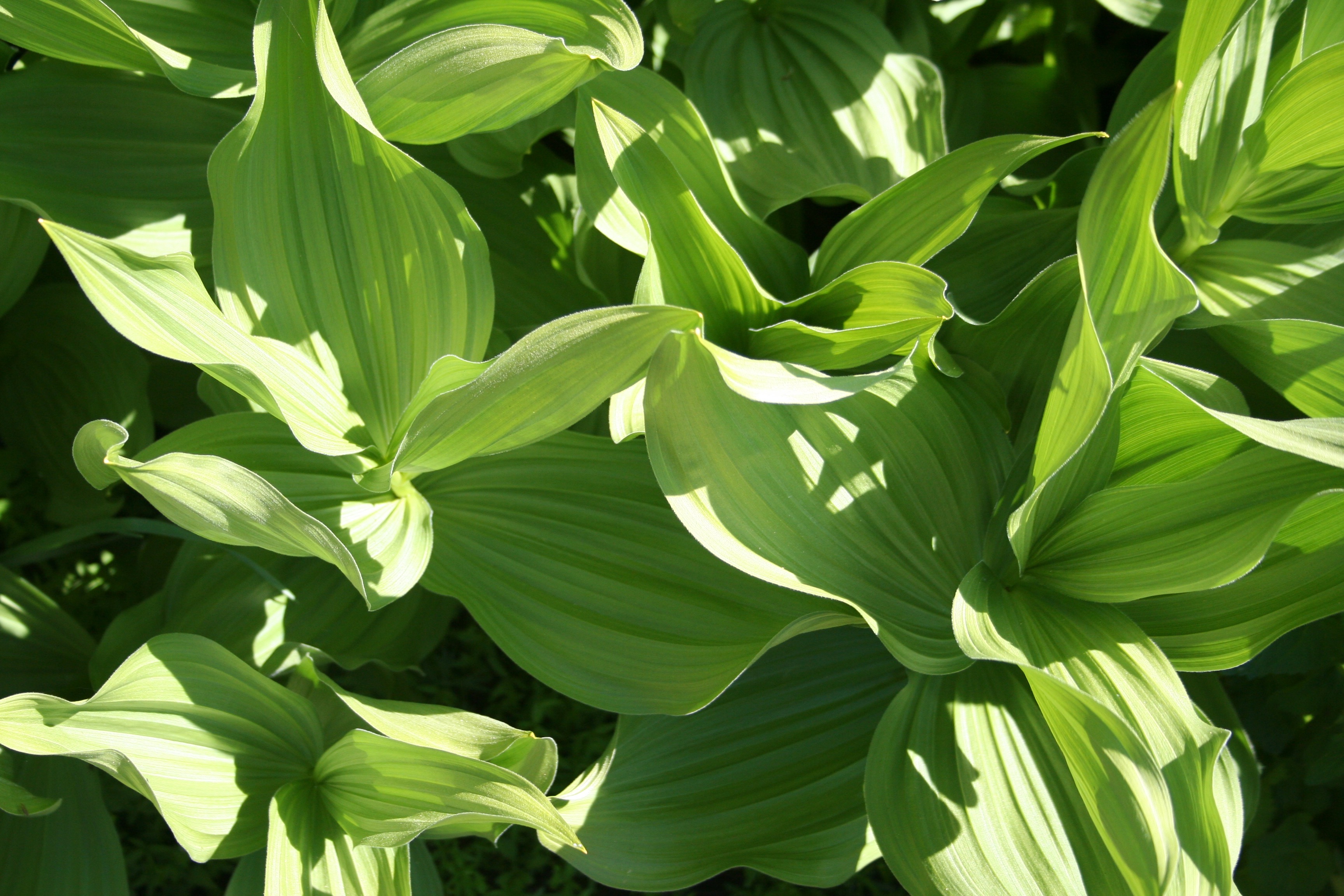
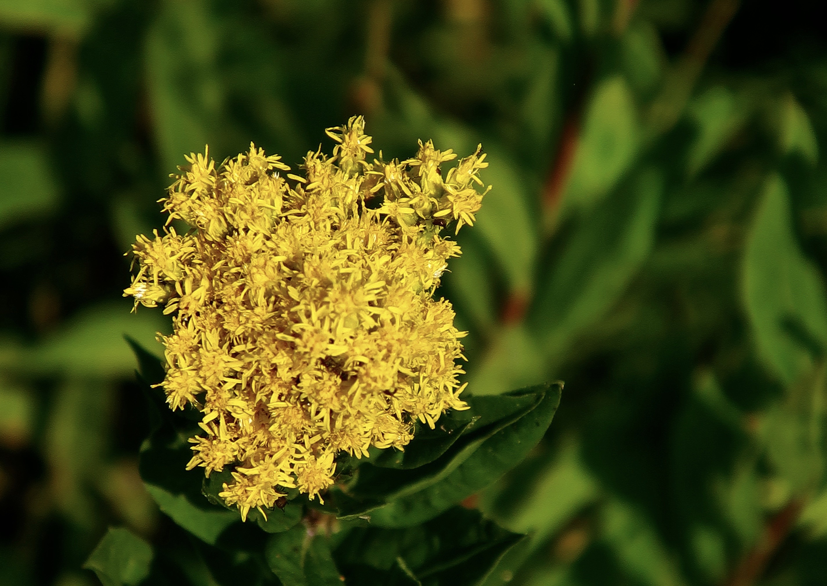
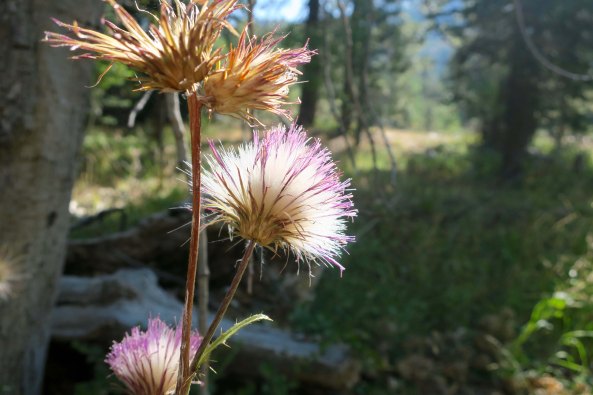
A close up of the Mule Ears blooming. There are few places in the Sierra’s that can match the display of flowers in the Granite Chief Wilderness.

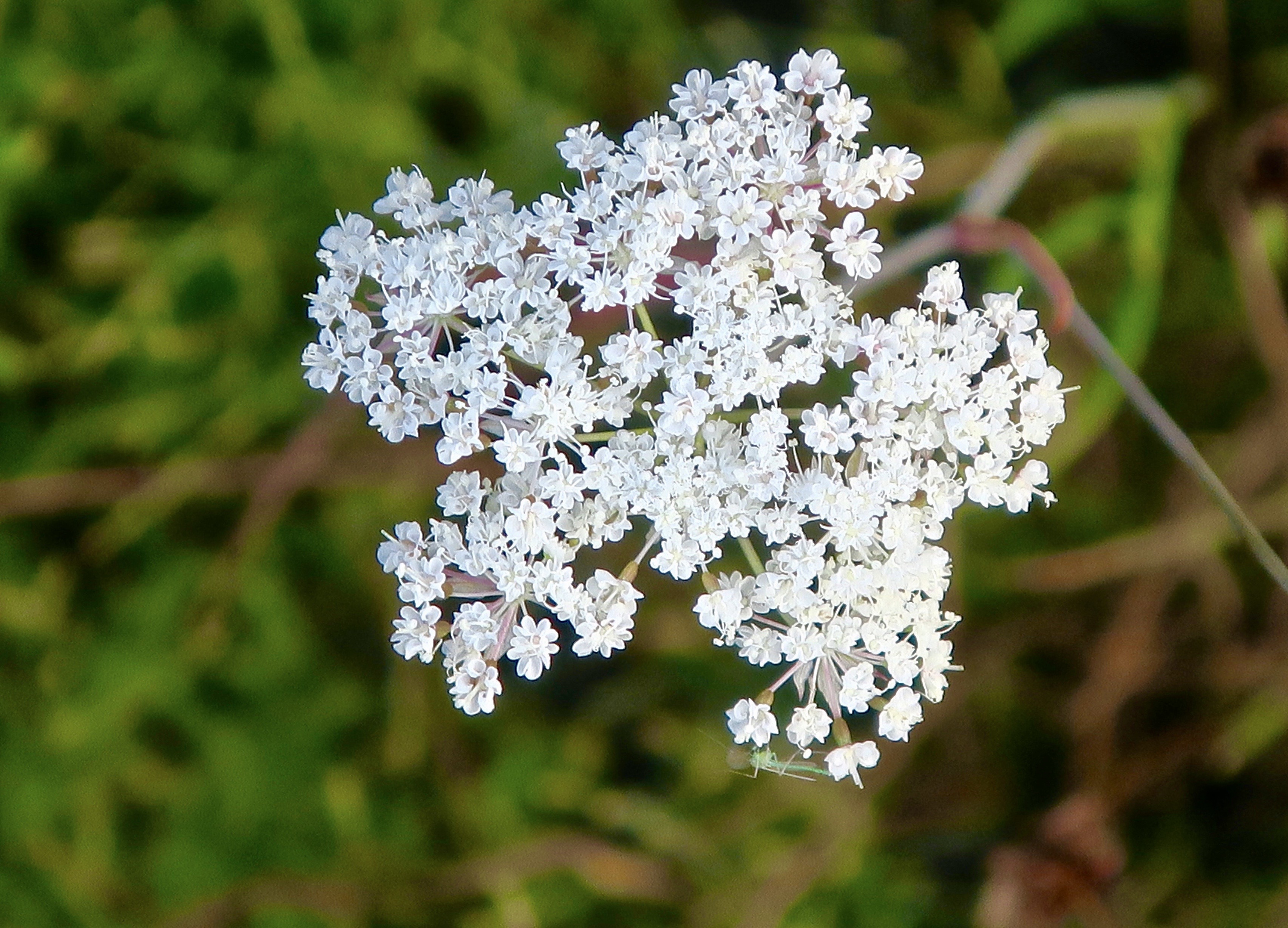
These Washington Lilies are found on the trail as it makes its way through the Granite Chief Wilderness down toward Five Lakes Creek.
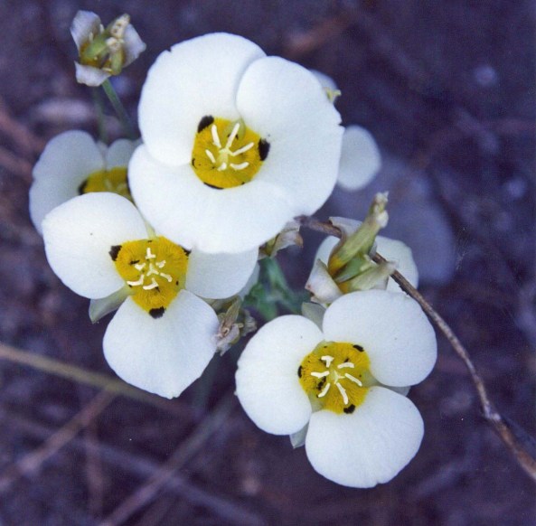
As are these Mariposa Lilies…

Tiger Lilies.

And Indian Paint Brush.

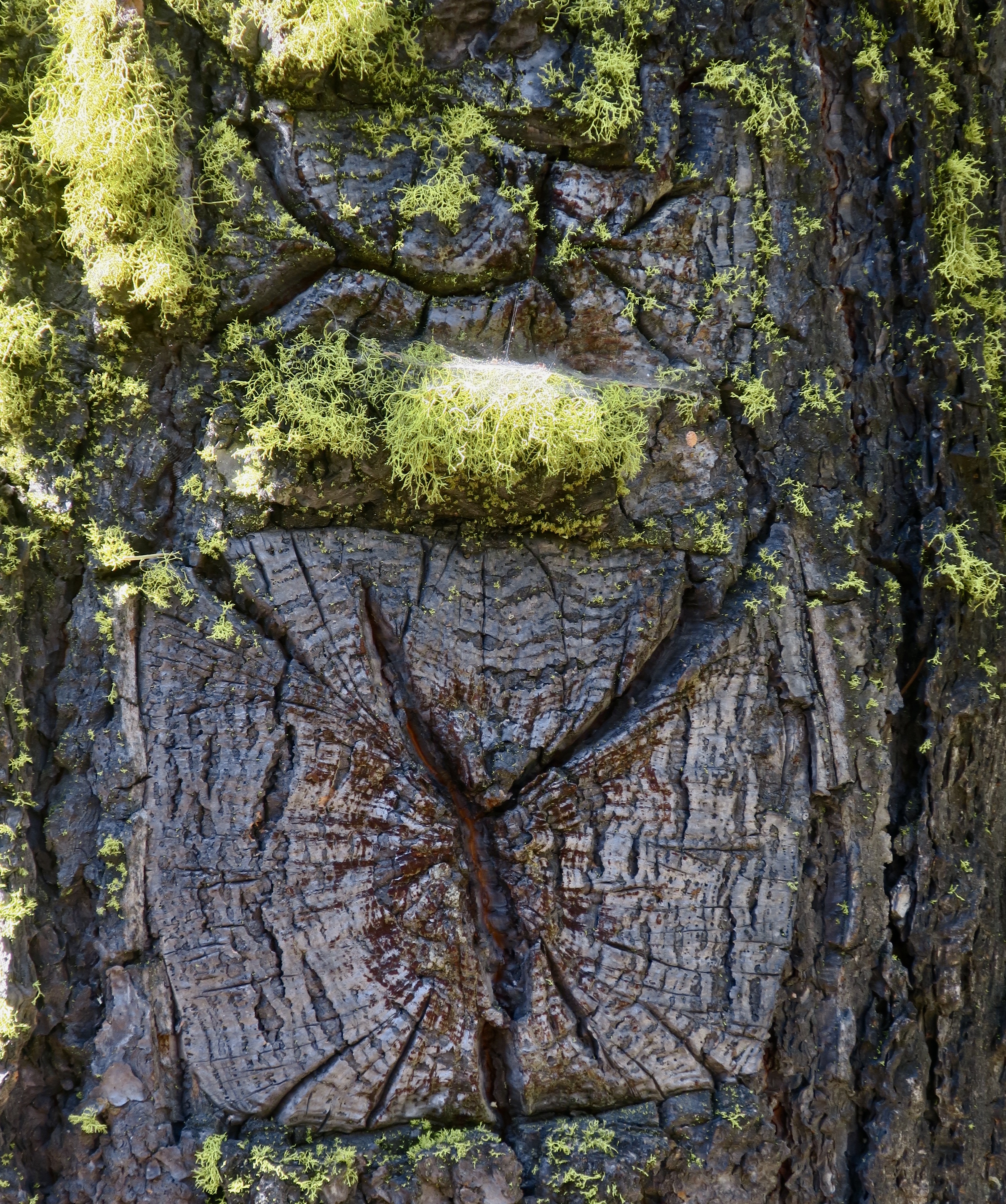
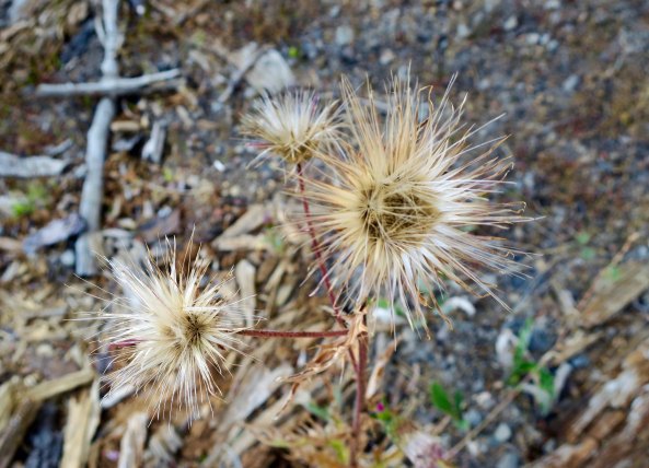
Lichens add color along the trail as well.

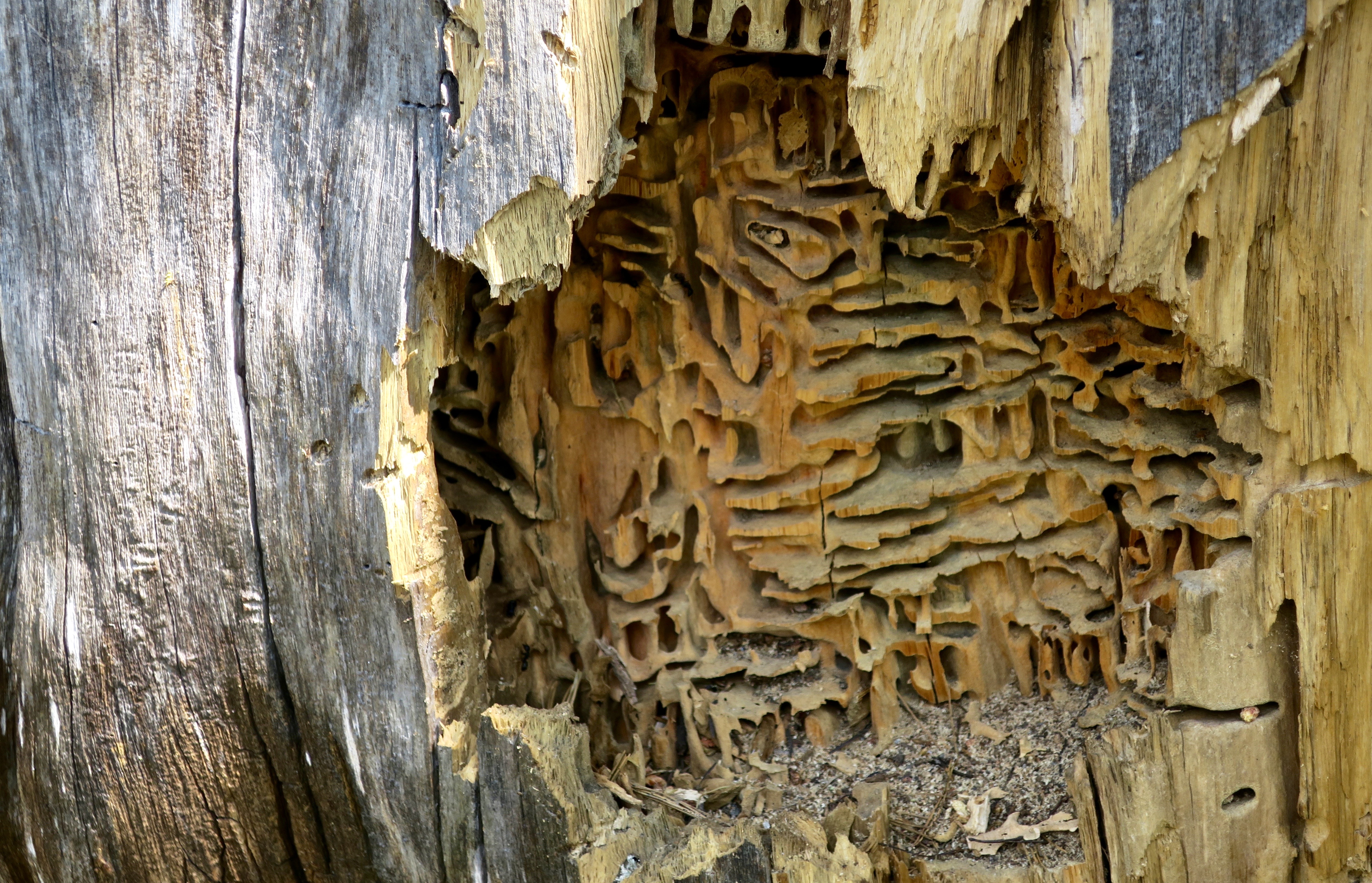
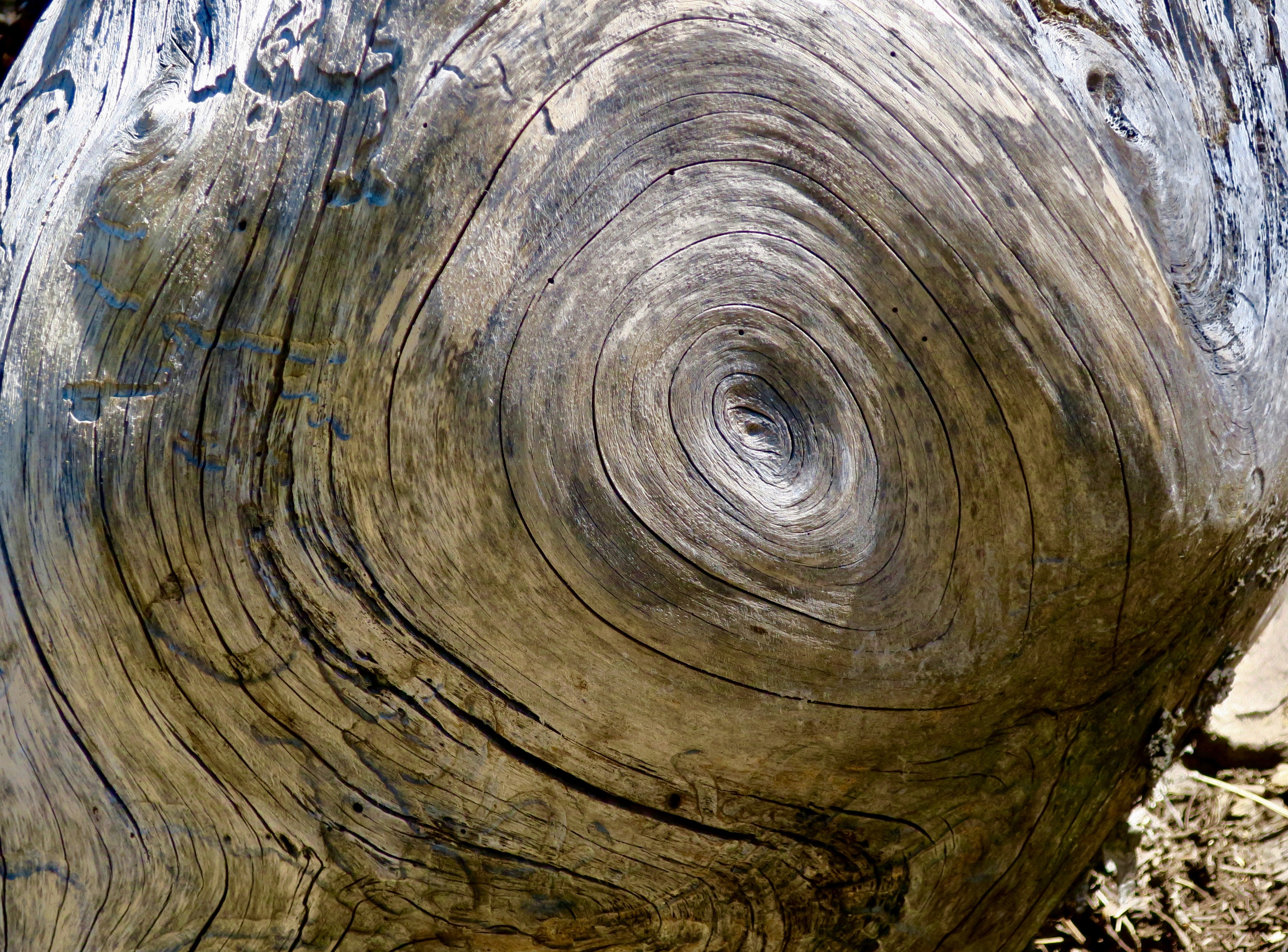
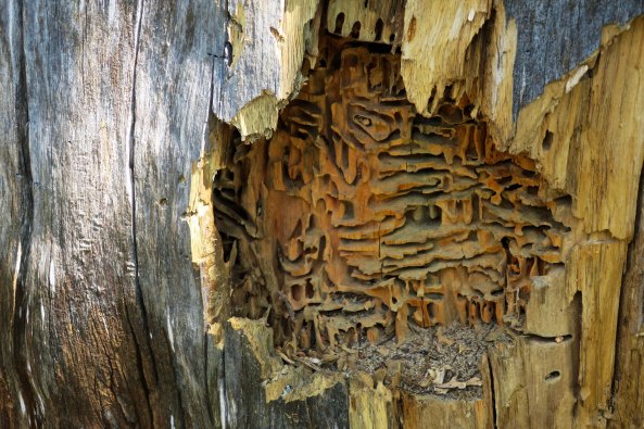
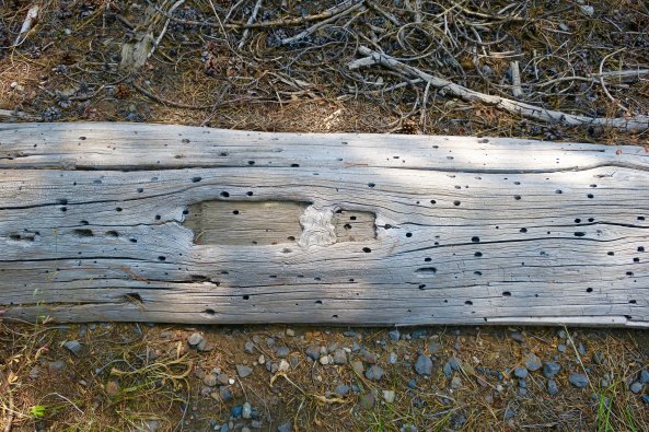
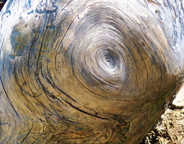
This old snag provided a different type of photo-op…

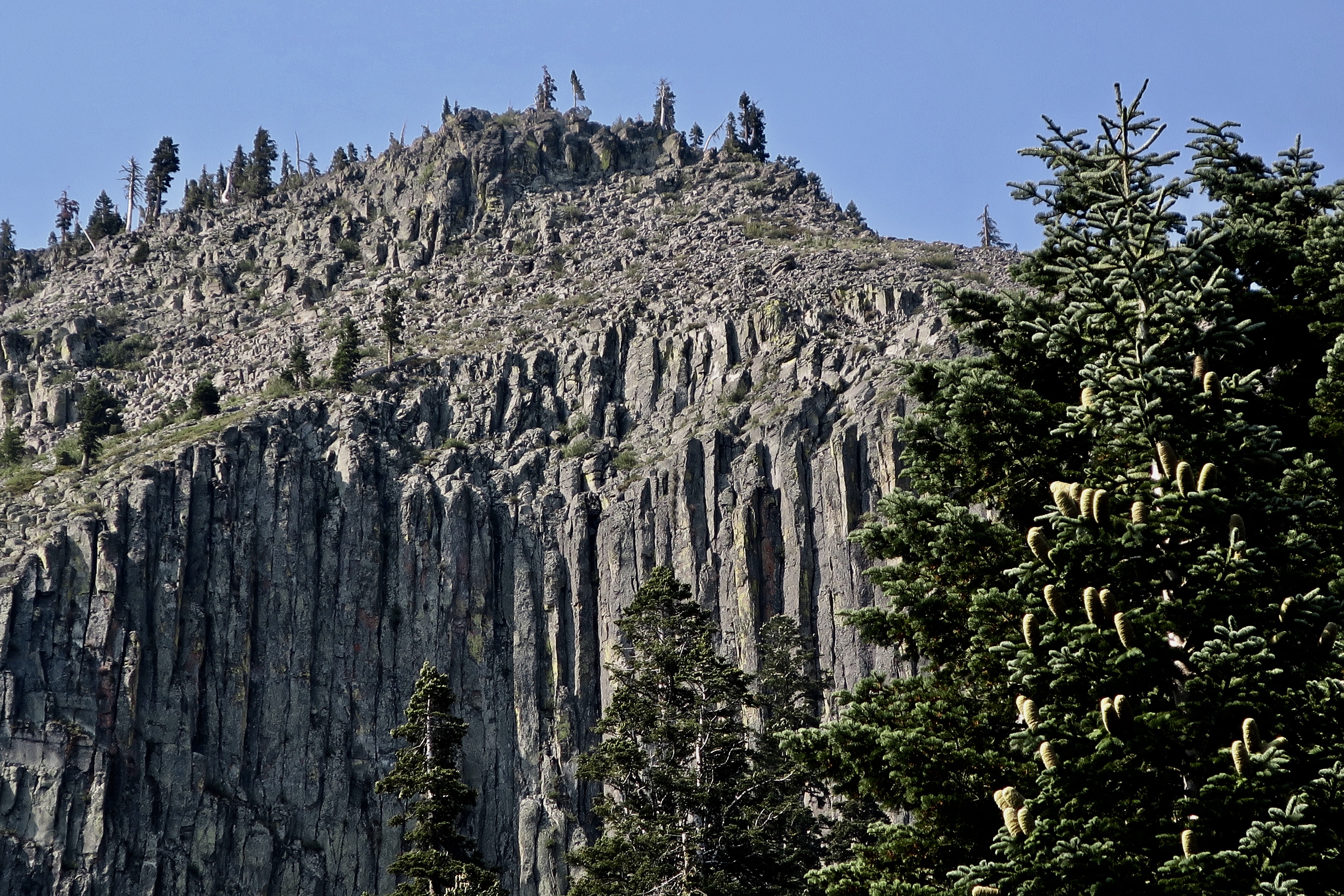
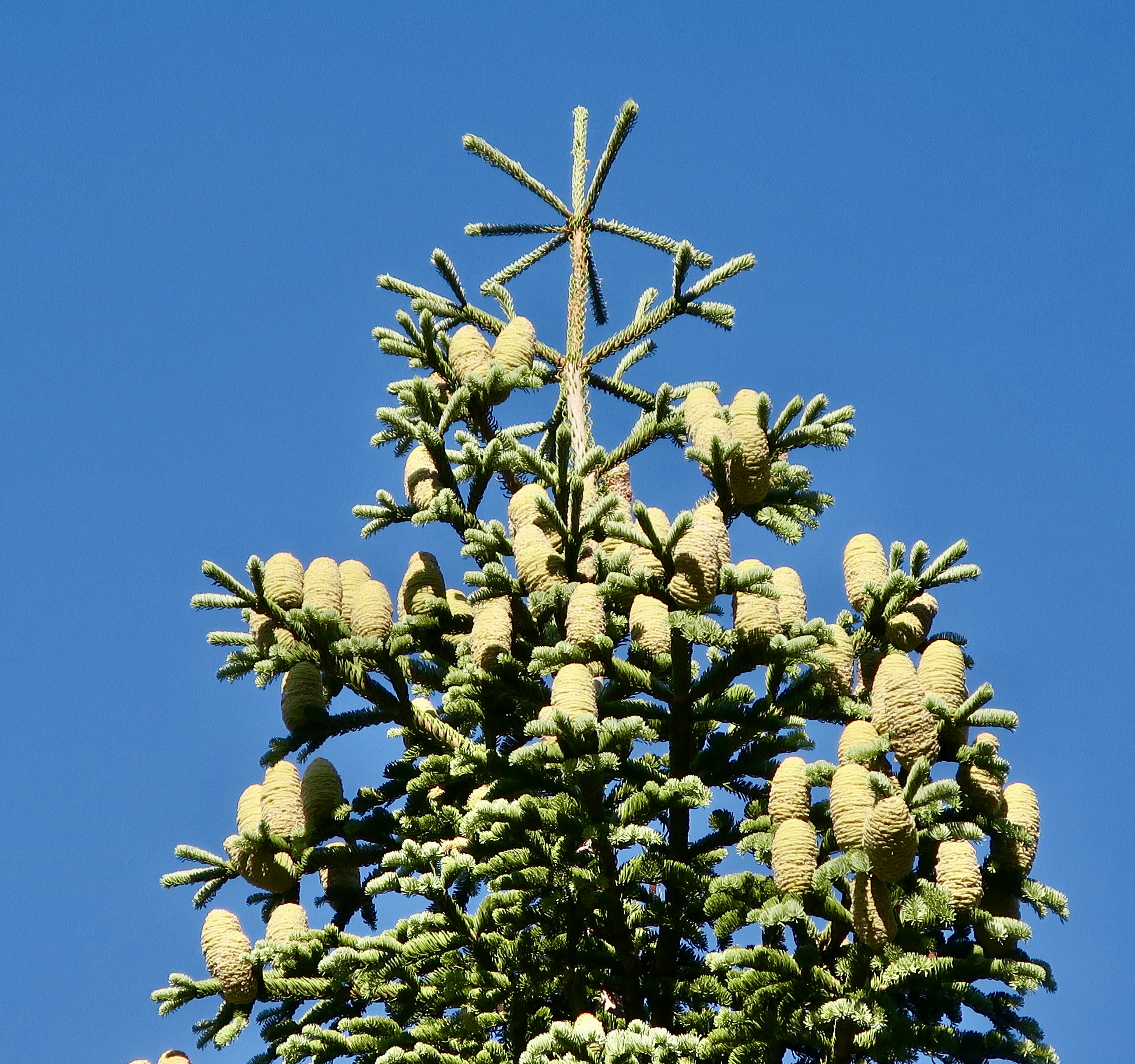
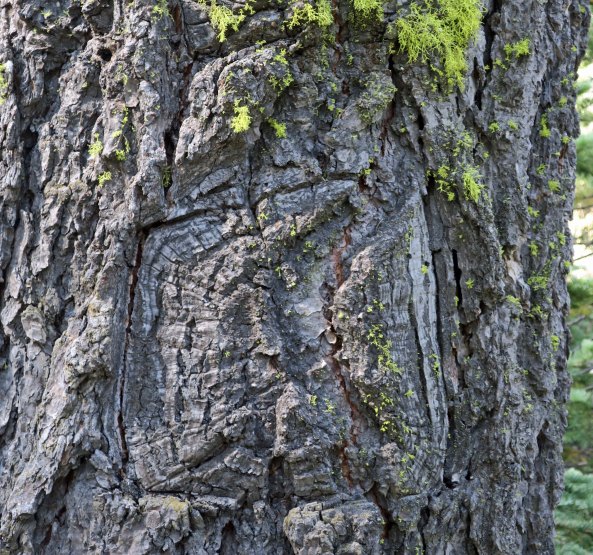
As did these weathered Lodge Pole Pines.
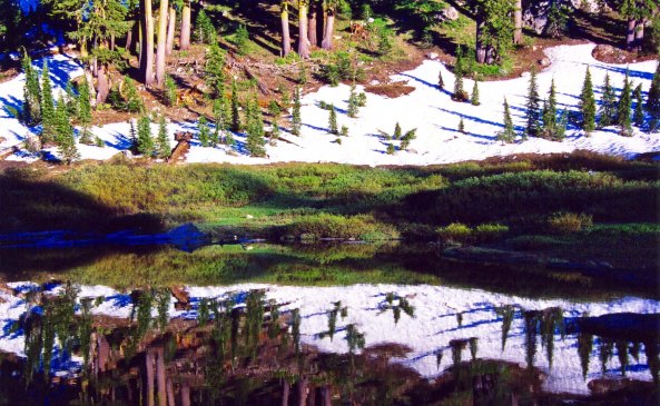
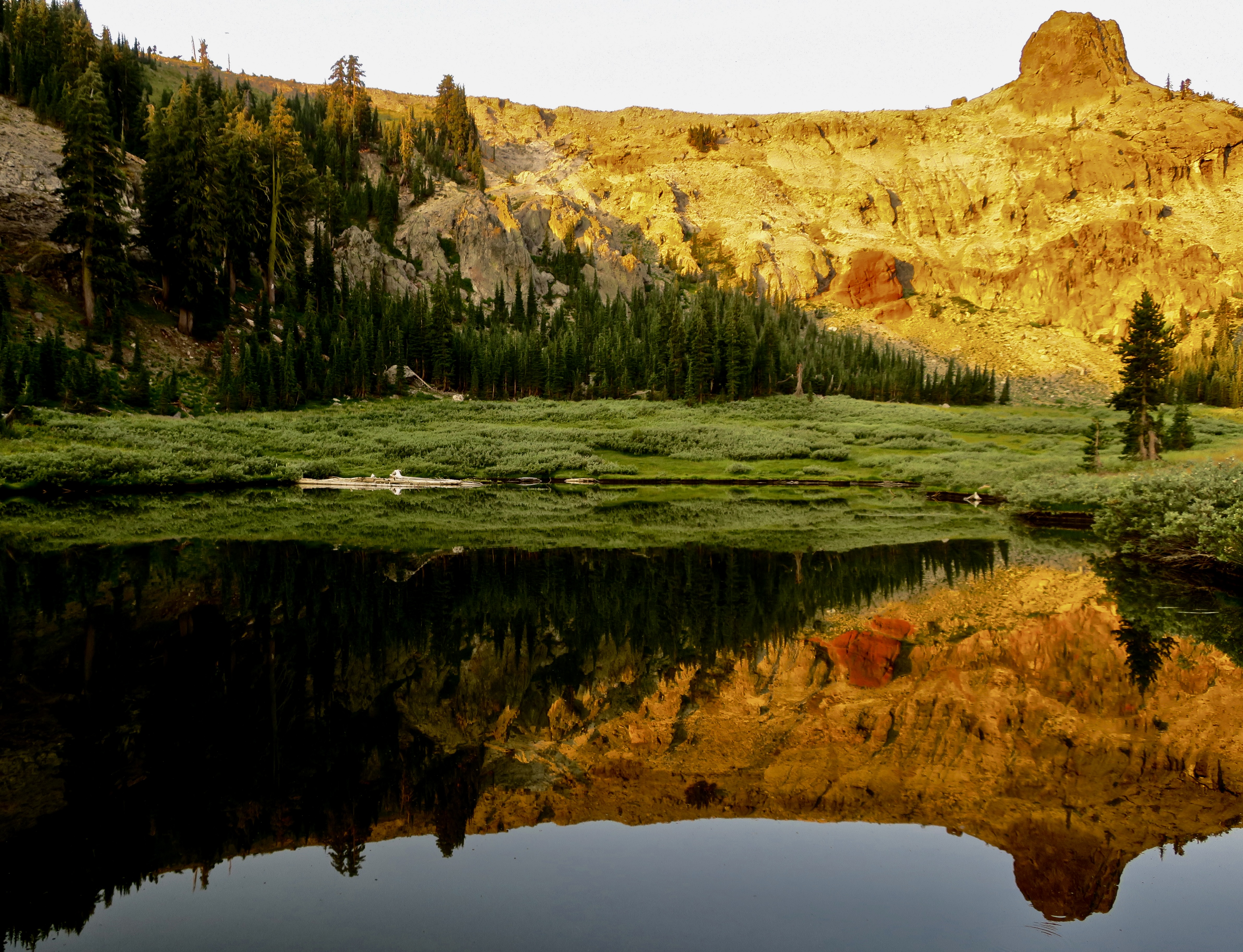
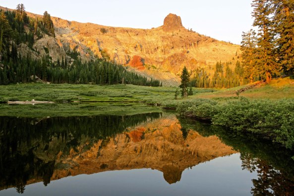
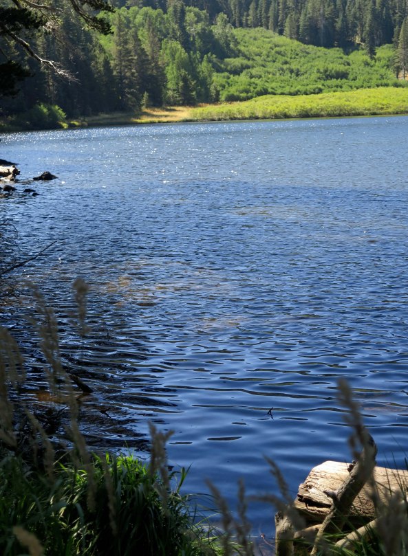
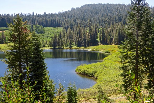
Little Needle Lake is a short three-mile hike from the top of Squaw Valley. I enjoyed the reflection here. At night there is an amazing chorus of frogs. I’ve often camped beside the lake.

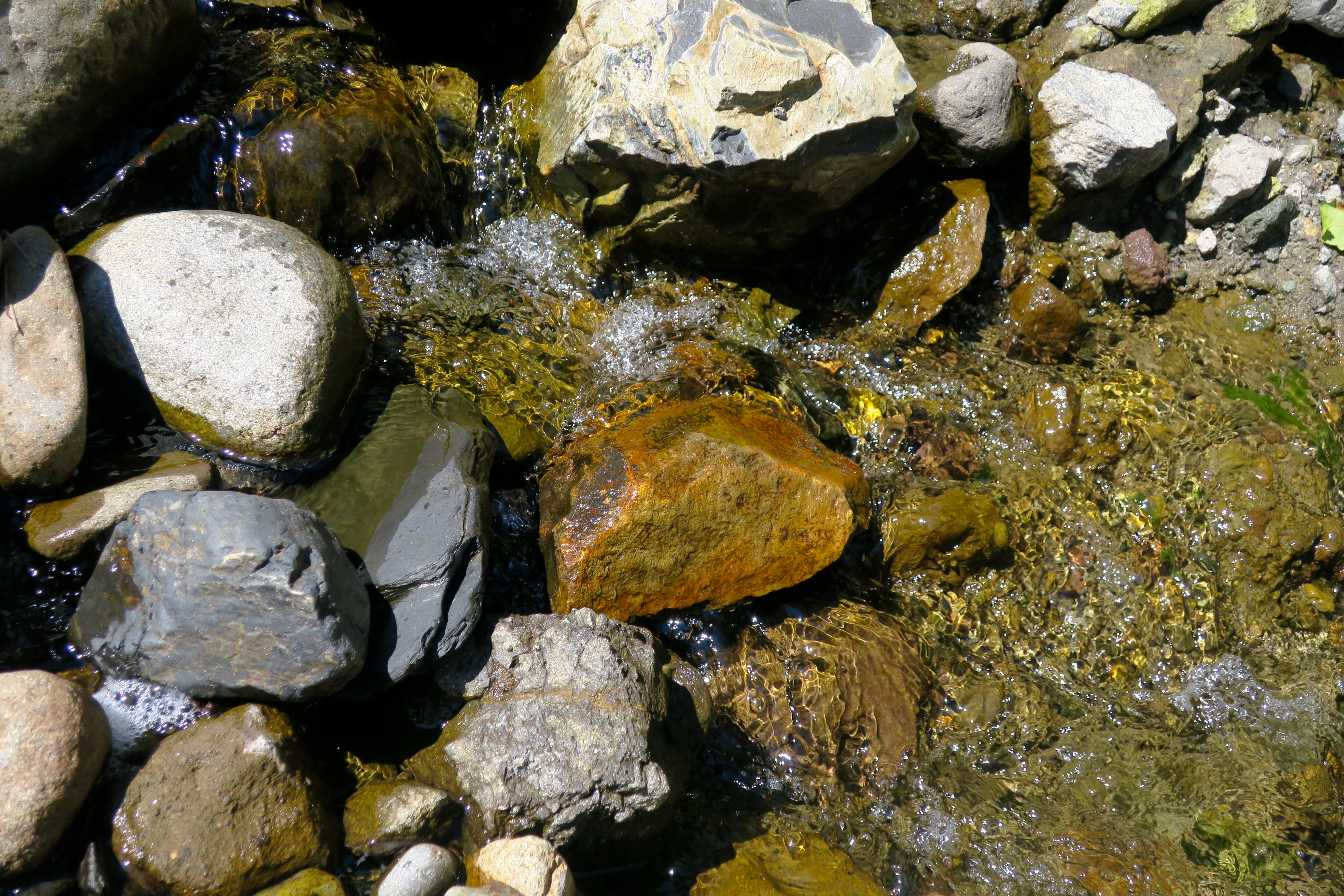
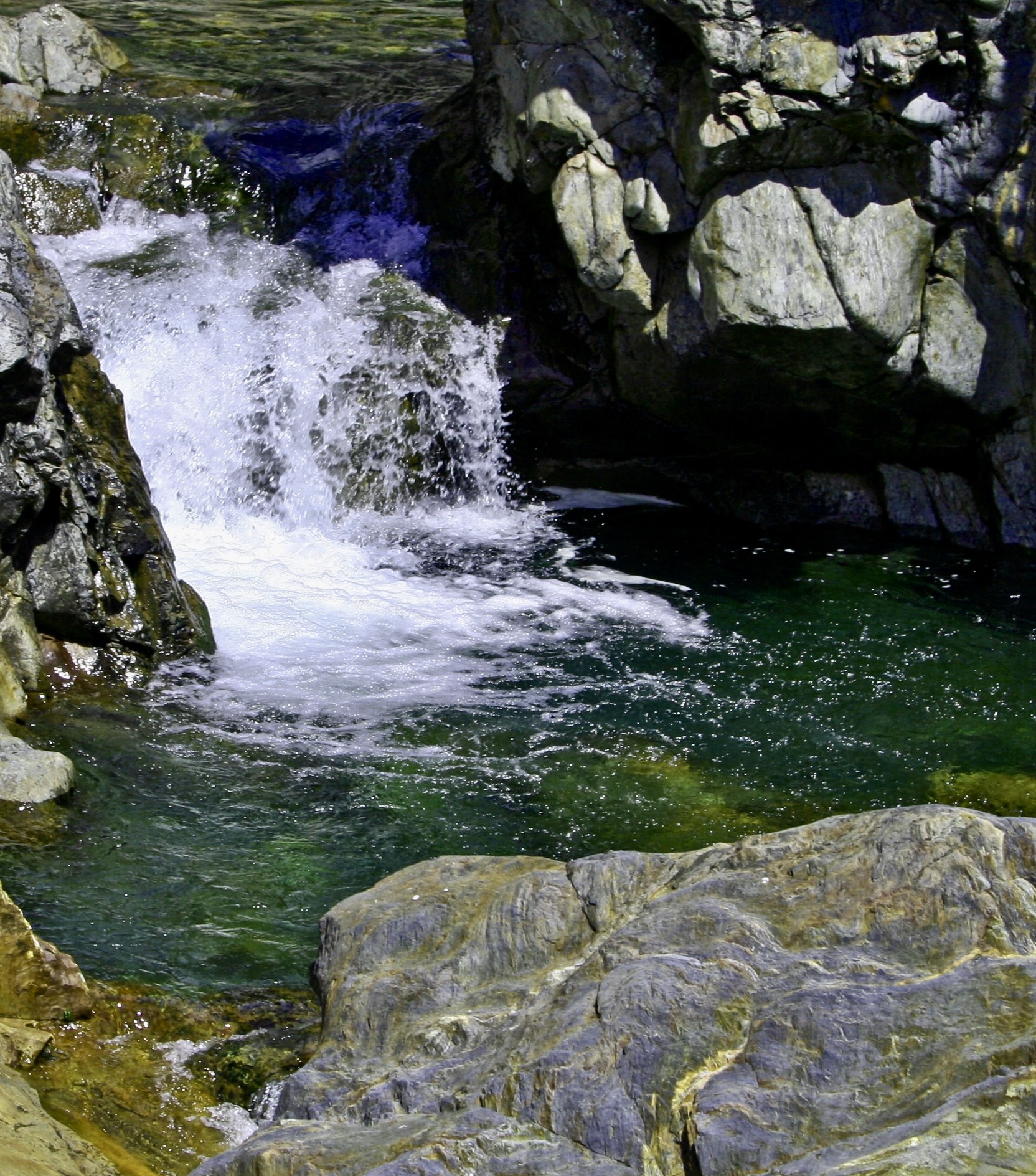
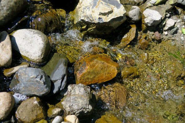
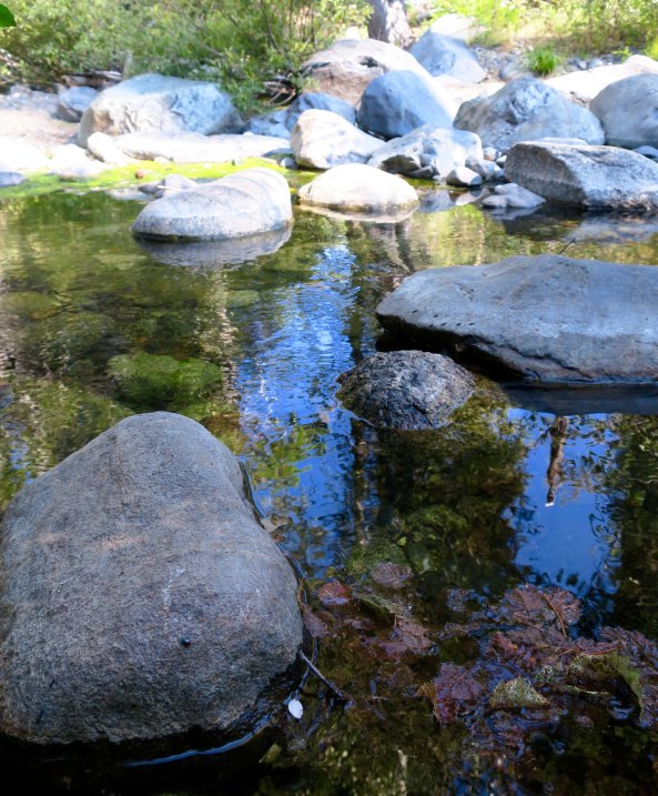
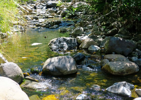
Five Lakes Creek flows along quietly here and provides and invitation to cool off in the middle of summer. Earlier it can be roaring with snow melt and icy water.

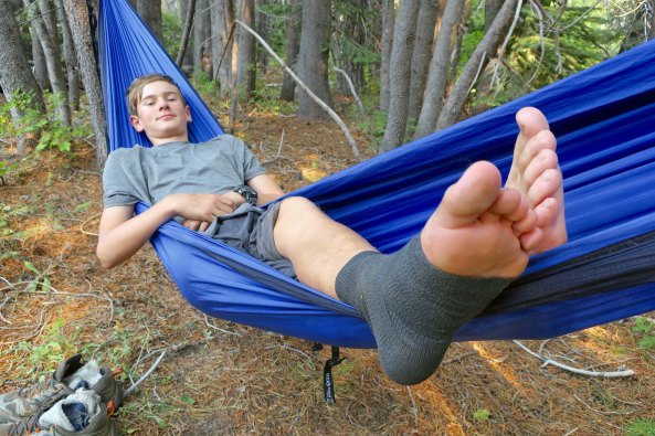
Peggy provides an example of how the creek should be enjoyed on a hot August afternoon.

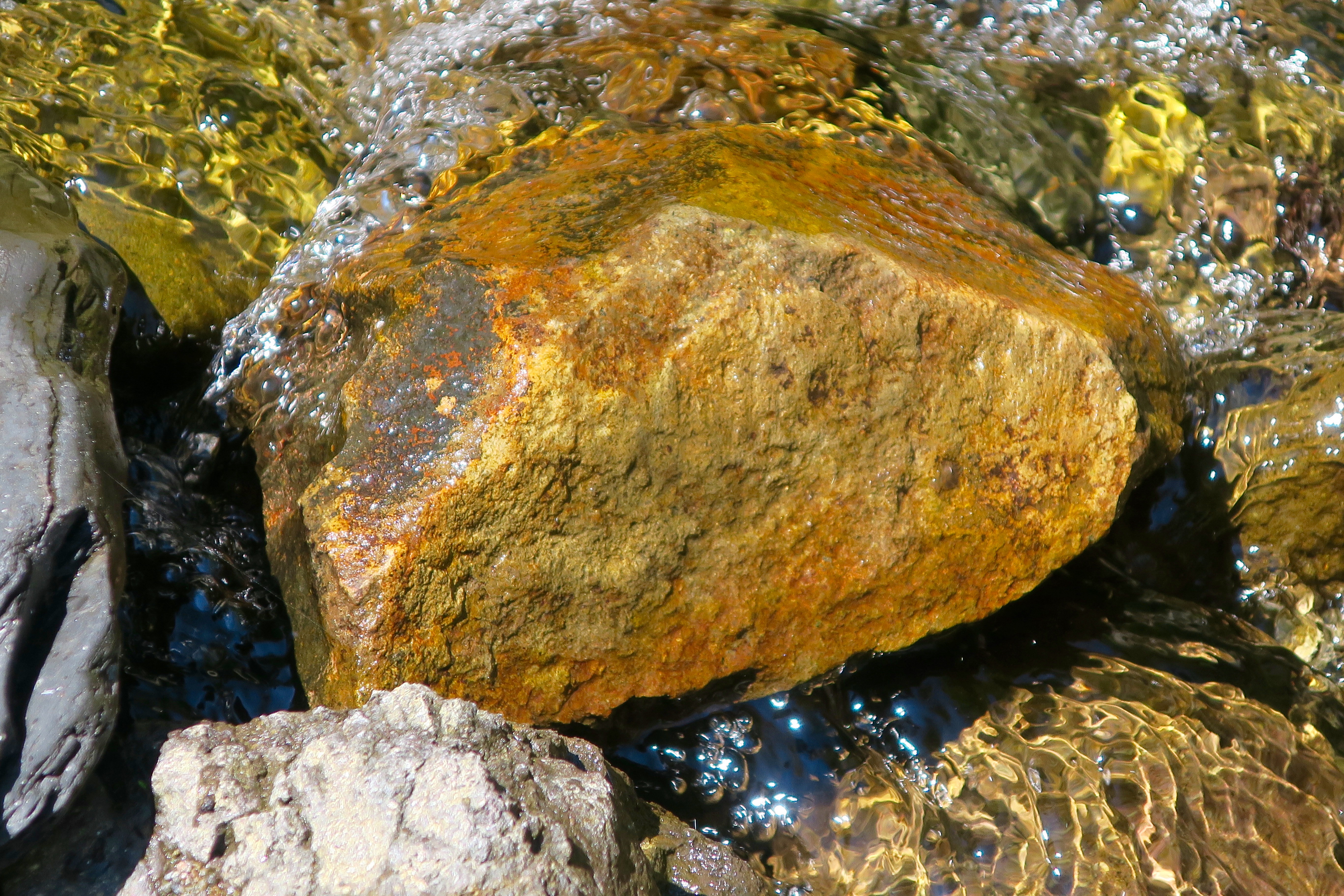
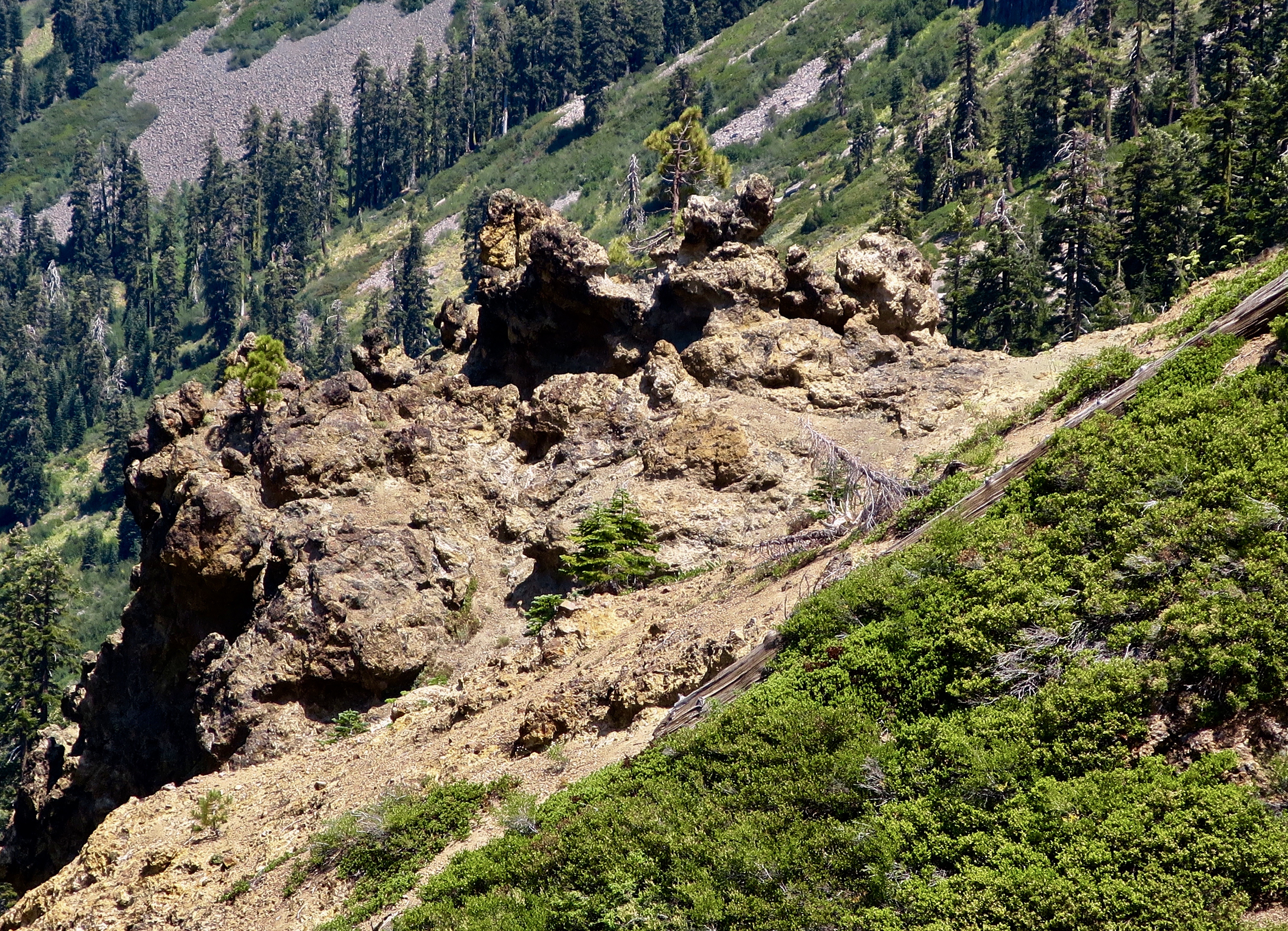
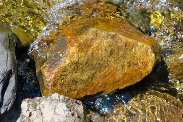
The final photo of the day. Five Lakes Creek drops into a canyon a few miles below where Peggy enjoyed her cooling off. The top photo on this post provide a closeup. I often camped Treks at Diamond Crossing near here. (Photo by Peggy Mekemson.)