Chisos Mountains… Big Bend Is More than Desert, Much More… The National Park Series #11

Photos by Curtis and Peggy Mekemson
The Chisos Mountains of Big Bend were born 45 to 30 million years ago when the region experienced several episodes of volcanism followed by periods of quiet. We found the mountainous region to be quite beautiful. Our drive from our campsite at Rio Grande Village to our campsite at Castolon took us around much of the mountain range as shown in the National Park map below.
Our drive from our campground at Rio Grand Village on the right to our campground in Castolon on the left took us around a significant portion of the Chisos Mountains. Most of our photos of the mountain were taken when we retraced our drive up from Castolon to visit the Chisos Basin. We did, however take photos from the Chihuahuan Desert Nature Trail on our way to Castolon. This is a Big Bend National Park map.
The Chihuahuan Desert Nature Trail provided several views of the eastern side of the Chisos Mountains.
I believe this is a view into Pine Canyon.
Any view of the ‘Old West’ is enhanced by an old-fashioned windmill (not the gigantic modern types). We found this along the nature trail looking out at the mountains.
Farther up the road, after we had cut off onto the Ross Maxwell Scenic Drive, the Chisos Mountains Exhibit gave us a northwestern view of the mountains. Emory Peak, the slight knob on the left, is the highest point in the park at 7,825′ (2385 m).
Once situated in Castolon, Peggy and I decided to make a more leisurely trip up the Scenic Highway along the Chisos Mountain to the Chisos Basin. Our first view along the way was one of Big Bend’s most photographed sites: The Mule Ears. They look a bit devilish to me.
Another perspective. Do they actually look like mule ears? Close…
I took this photo at Phantom Ranch in the Grand Canyon.
Photos of Big Bend NP by Curt and Peggy Mekemson.
Next up on our list of things to see was Goat Mountain. It’s the peak on the left.
Photos of Big Bend's Goat Mountain by Curt and Peggy Mekemson.
Closer…
Closest! Actually, Goat Mountain was misnamed. What the early pioneers were actually looking at were big horned sheep.But, hey, an ungulate is an ungulate, right? Can you spot the sheep? Just kidding.
Remember the old ditty, ‘the bear went over the mountain to see what he could see,’? I’m like the old bear. Always curious. Goat Mountain is the peak on the end.
Getting close to the turn off to the Chisos Basin, this was our view. Note the red ridges in the foreground.
The red ridges are the Fins of Fire shown on the map. They are volcanic dikes formed when lava forces its way into crevices in rocks as it works its way to the surface and solidifies. Erosion has exposed the red dikes here.
Close up of the dikes.
Now it’s time to work our way into the Chisos Basin. A window view of where we are going. The large flat rock is Casa Grande.
A grand house indeed! But it’s only one of the many views we found in the basin.
They range from rocks with character like these…
To rocks I found particularly beautiful. Like this.
And this. Note the trees and bushes. We are no longer in the desert!
Variety in the basin…
Is truly…
The spice of life.
This is Emory Peak, the highest point in the Chisos Mountains.
And this is a view back out into the Chihuahuan Desert, where we will return in our next post. See the slight notch on the horizon…
It’s this: The Santa Elena Canyon. Located in the Castolon area, it is one of the places we will be exploring.

New Mexico’s Three Rivers Petroglyph Site… Where Art Rocks

Sacramento Mountains of New Mexico.

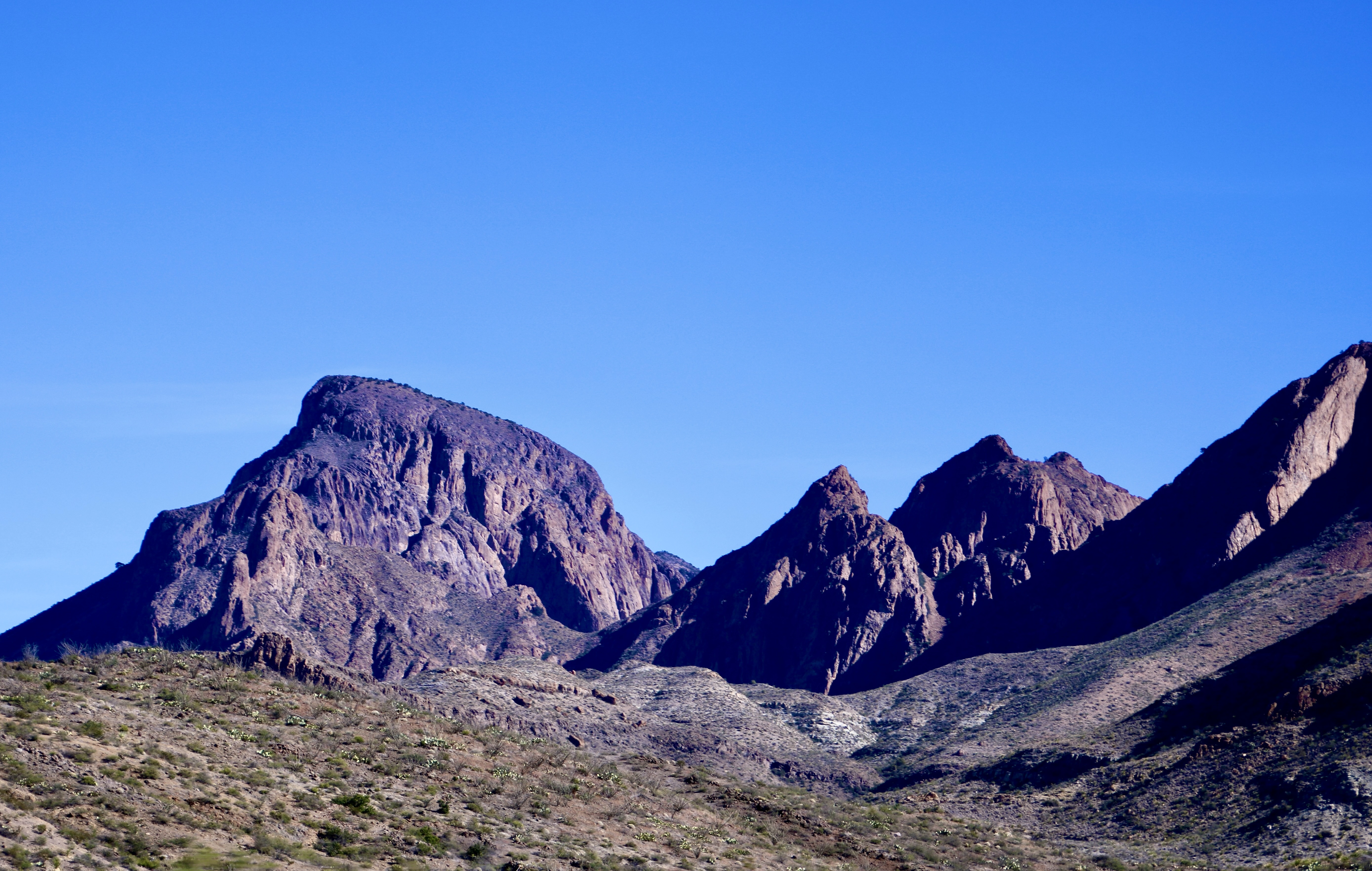
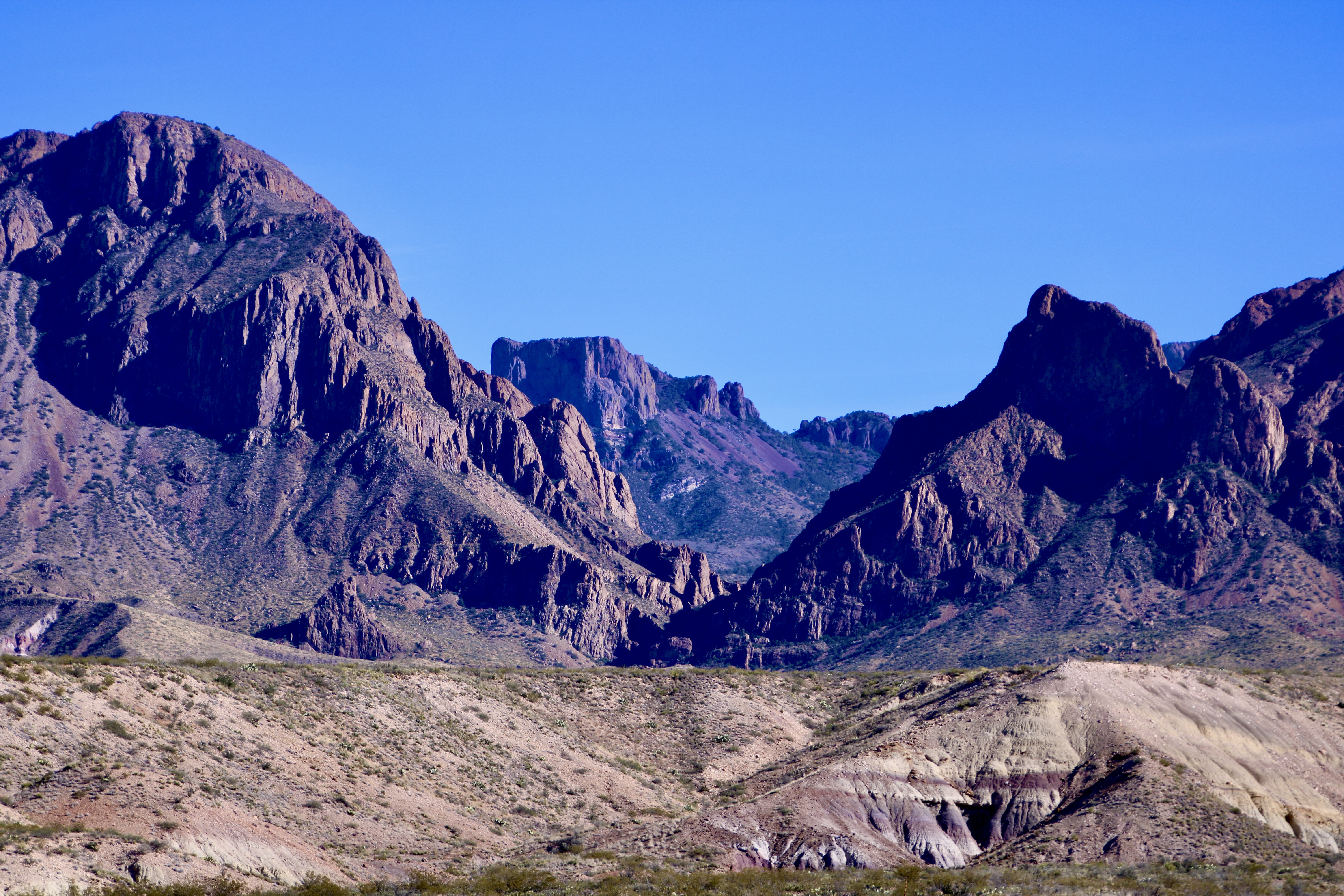
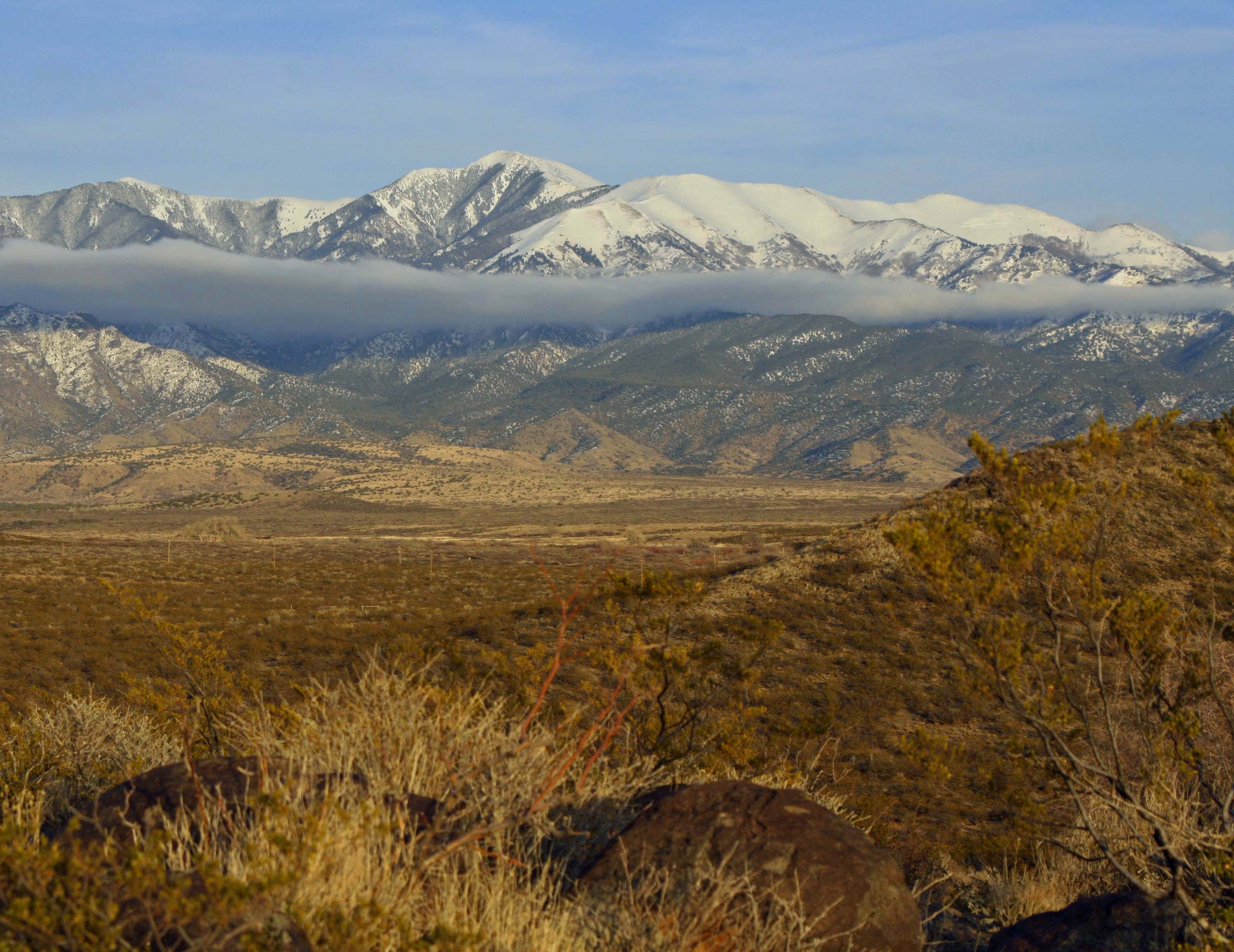
A layer of clouds stretching along the Sacramento Mountains adds beauty and mystery to the Three Rivers Petroglyph site. It is easy to understand why Native Americans chose the area for their rock art.

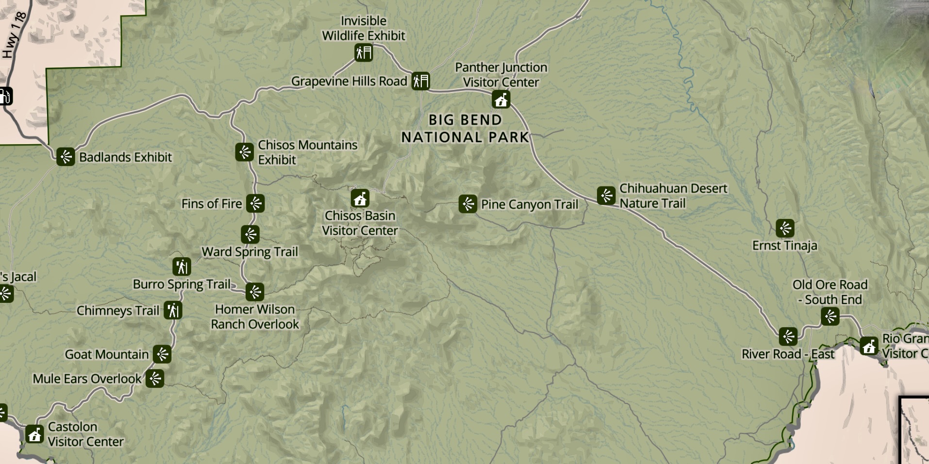
This marks the beginning of a new series where we leave the beautiful but crowded cities of Europe to visit the lonely, wide-open spaces of the American and Canadian west. Our journey will take us from New Mexico’s northern Chihuahuan desert to Alaska’s remote Kodiak Islands.

For the next three weeks we will explore the mystical world of Native American rock art found in the Three Rivers Petroglyph site of southern New Mexico. Afterwards Peggy and I will spend six weeks travelling up the Alaska Highway through British Columbia and the Yukon Territory to Alaska and back.  We will finish off our summer at the celebration known as Burning Man held in Nevada’s Black Rock Desert.

Peggy and I have been visiting rock art sites throughout the Southwestern United States for the past 15 years. The Three Rivers’ site is one of our favorites. Some 21,000 petroglyphs featuring everything from people to bugs are spread out over 50 acres. Created by the Jornada Mogollon people of the Chihuahuan Desert, the glyphs were pecked into rock using stone tools for a period of over 500 years starting in 900 AD.

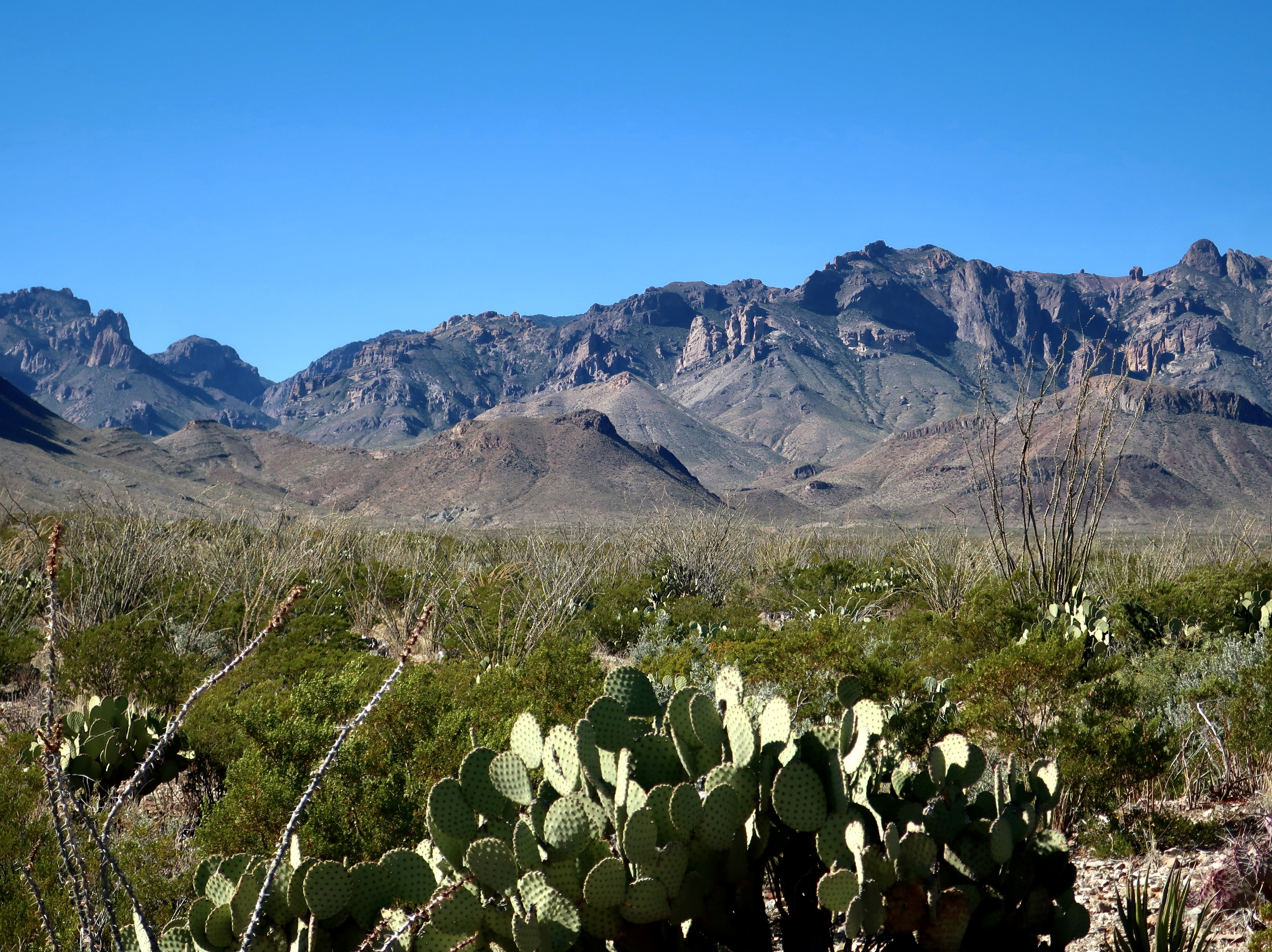
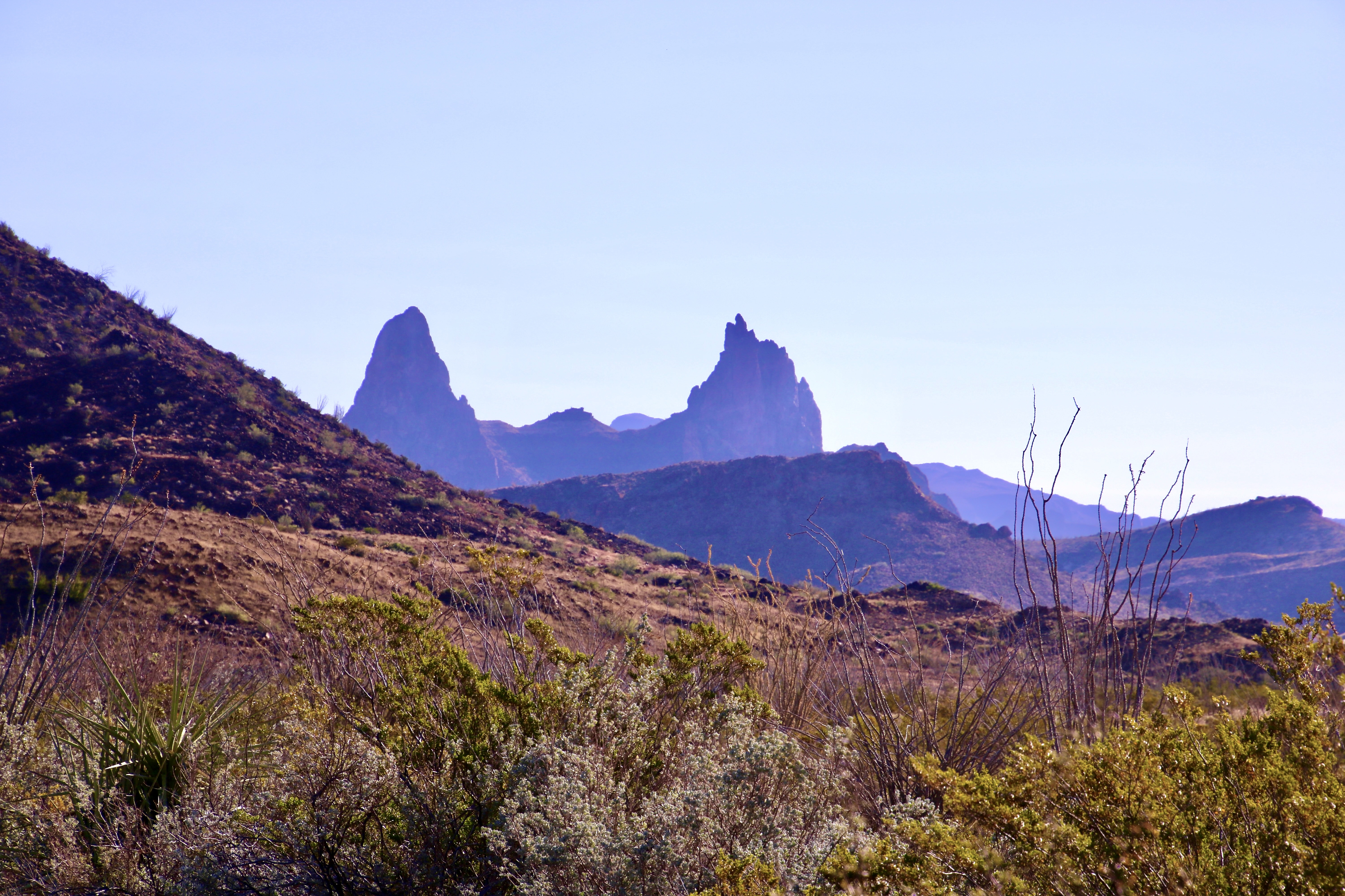
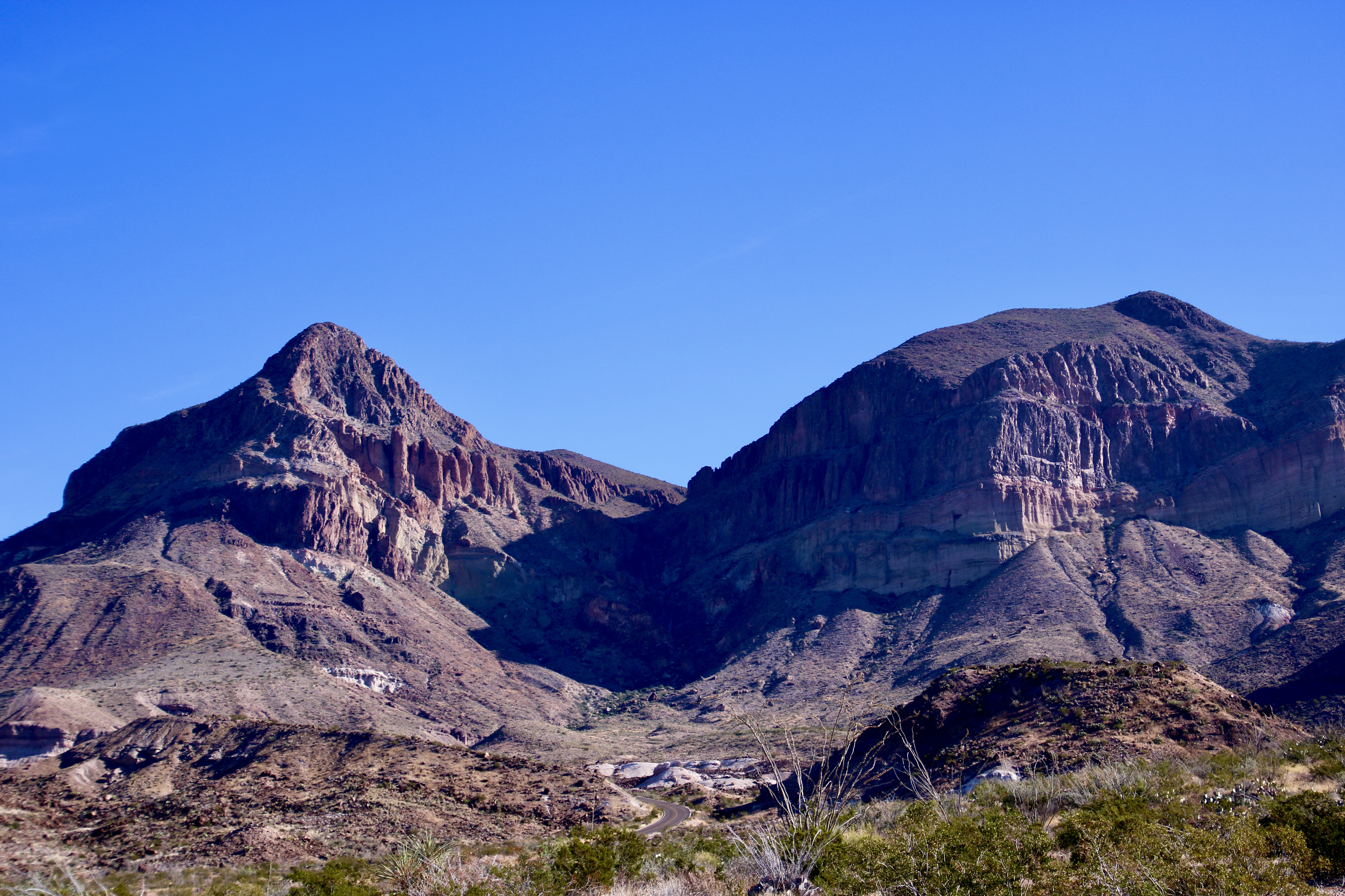
This is wide-open country set off by dramatic mountains. Within a hundred miles of Three Rivers, Billy the Kid fought in the Lincoln County Wars, Smokey the Bear was found hidden in a tree avoiding a forest fire, bug eyed aliens became synonymous with Roswell, and history was forever changed with the explosion of the world’s first atomic bomb.

I rode through the area on my bicycle as part of my ten thousand mile trek around North America. It’s a long way between pit stops.

Mountains and deserts of Southern new Mexico

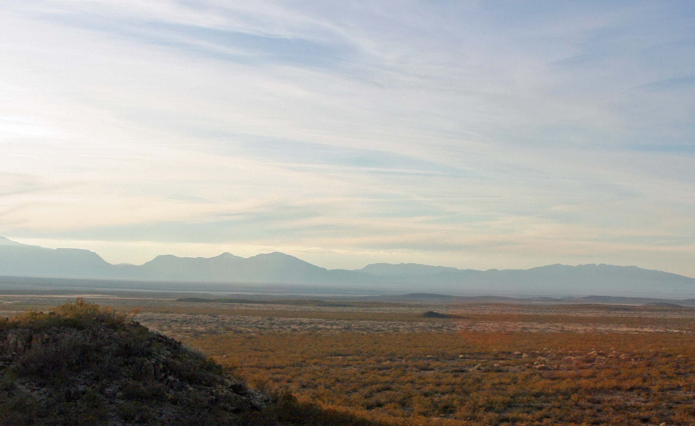
What southern New Mexico looks like from a bicycle.

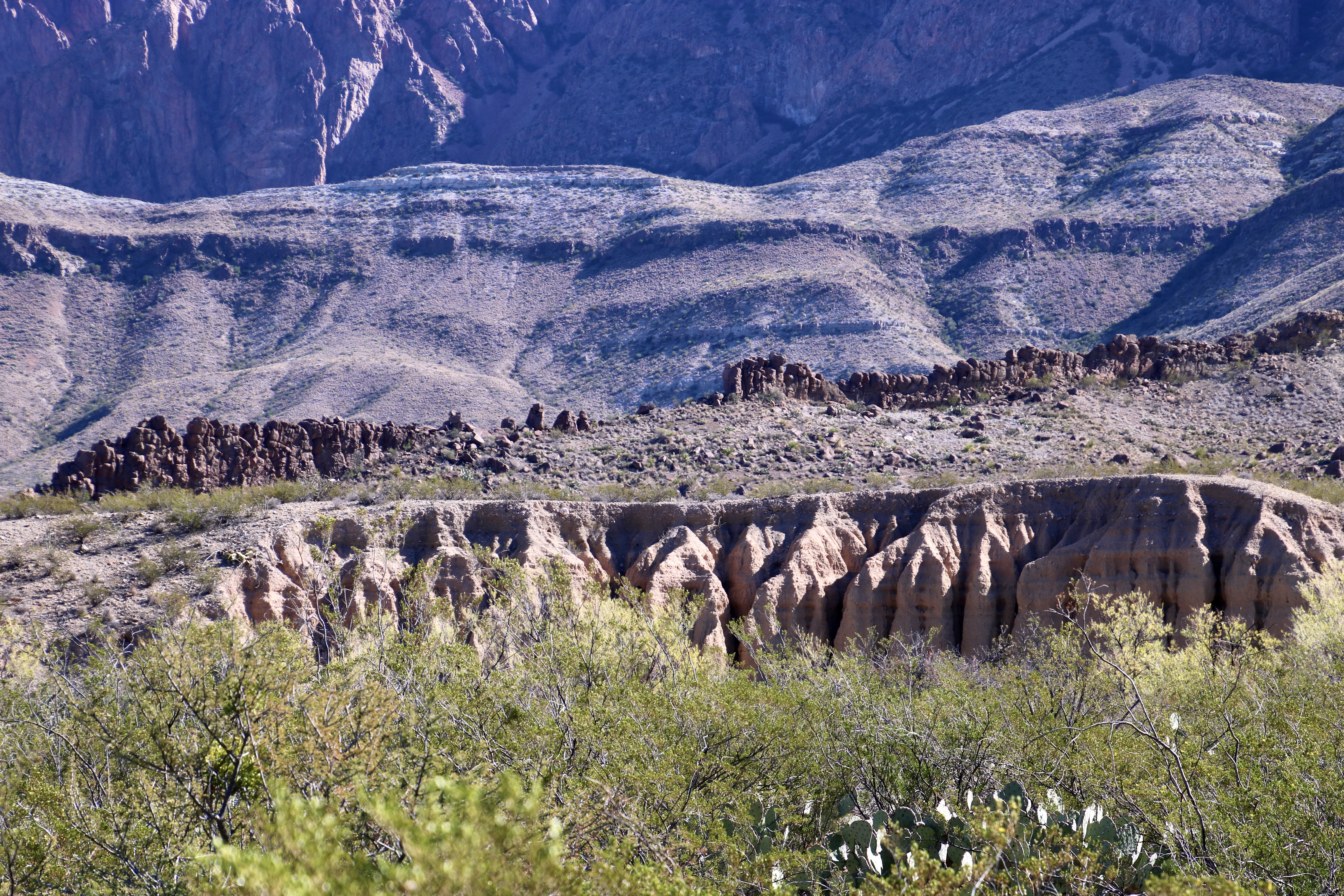
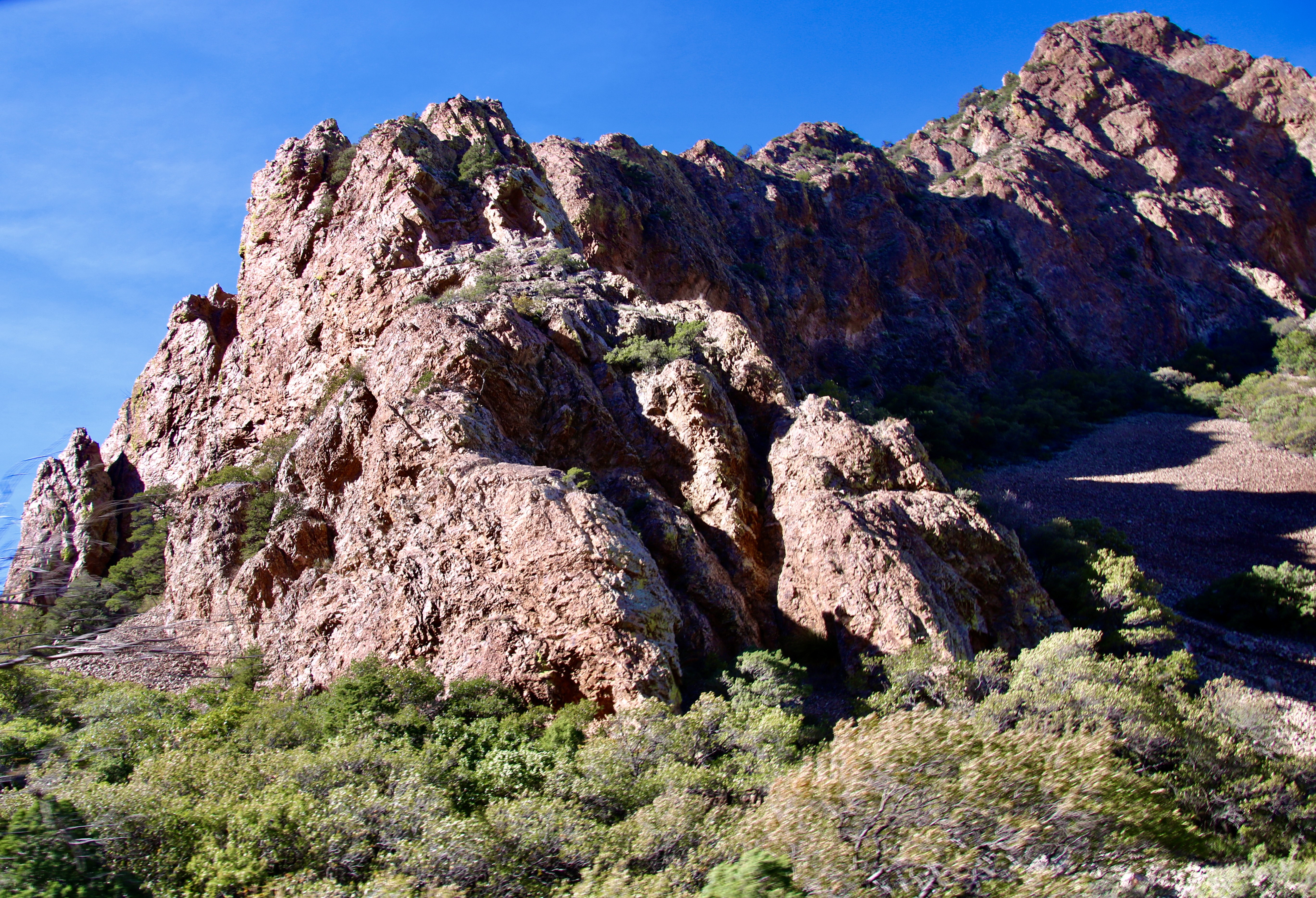
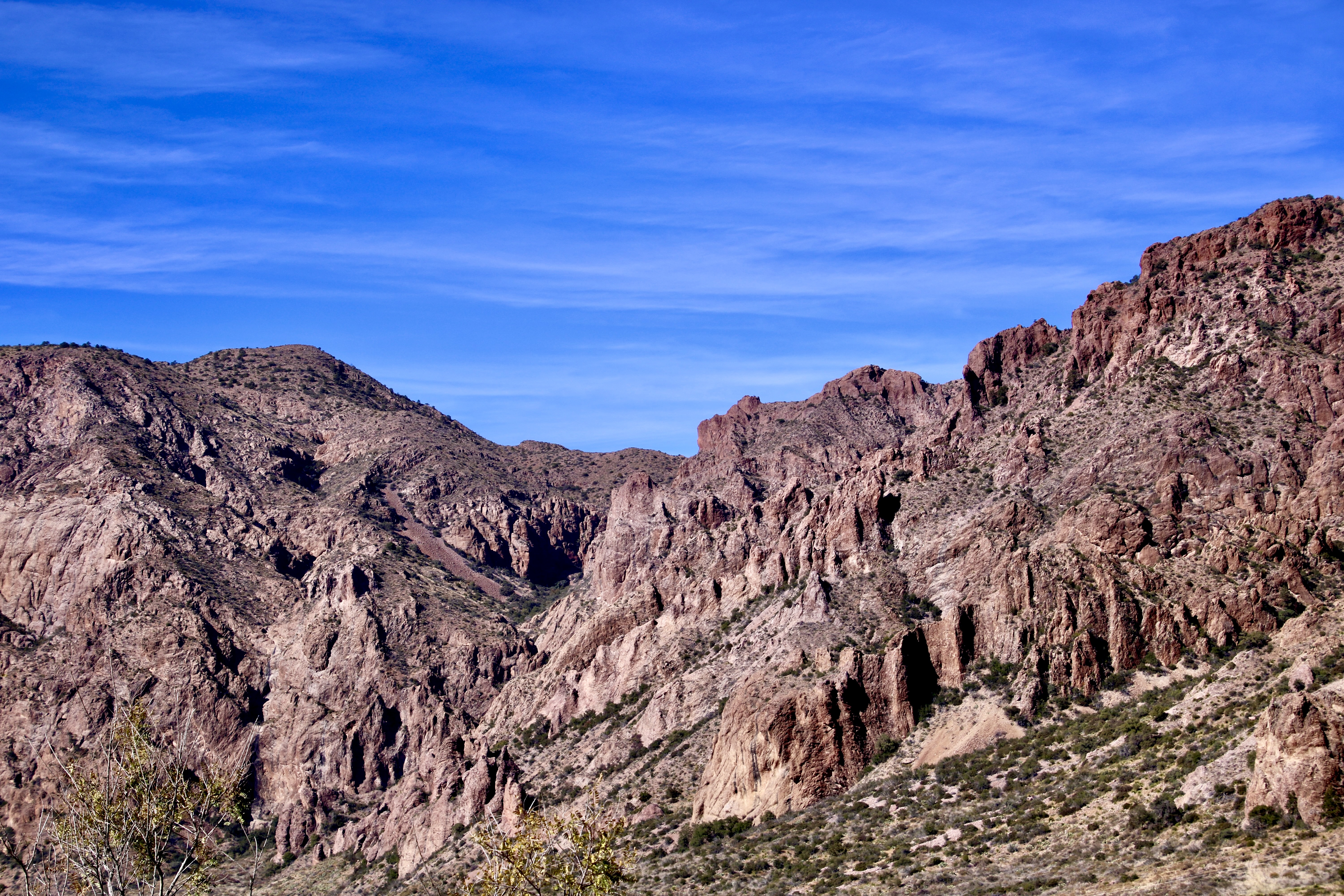
Native Americans often chose special sites for their rock art and it is immediately apparent that the Three Rivers site is special. The words “raw beauty” come to mind. Set on a ridge, the site provides commanding views of the surrounding desert and mountains. Today’s blog will explore the natural beauty of the region. In my next blogs I will feature petroglyphs of people, animals, birds, geometric designs, animal tracks, reptiles, bugs and anything else that caught the fancy of the Jornada people– including a whale and a mysterious ship.

Three Rivers Petroglyph site in southern New Mexico.

Another photo featuring the Sacramento Mountains and clouds from the perspective of the Three Rivers Petroglyph site.

Three Rivers Petroglyph site in southern New Mexico with Sacramento Mountains providing the backdrop.

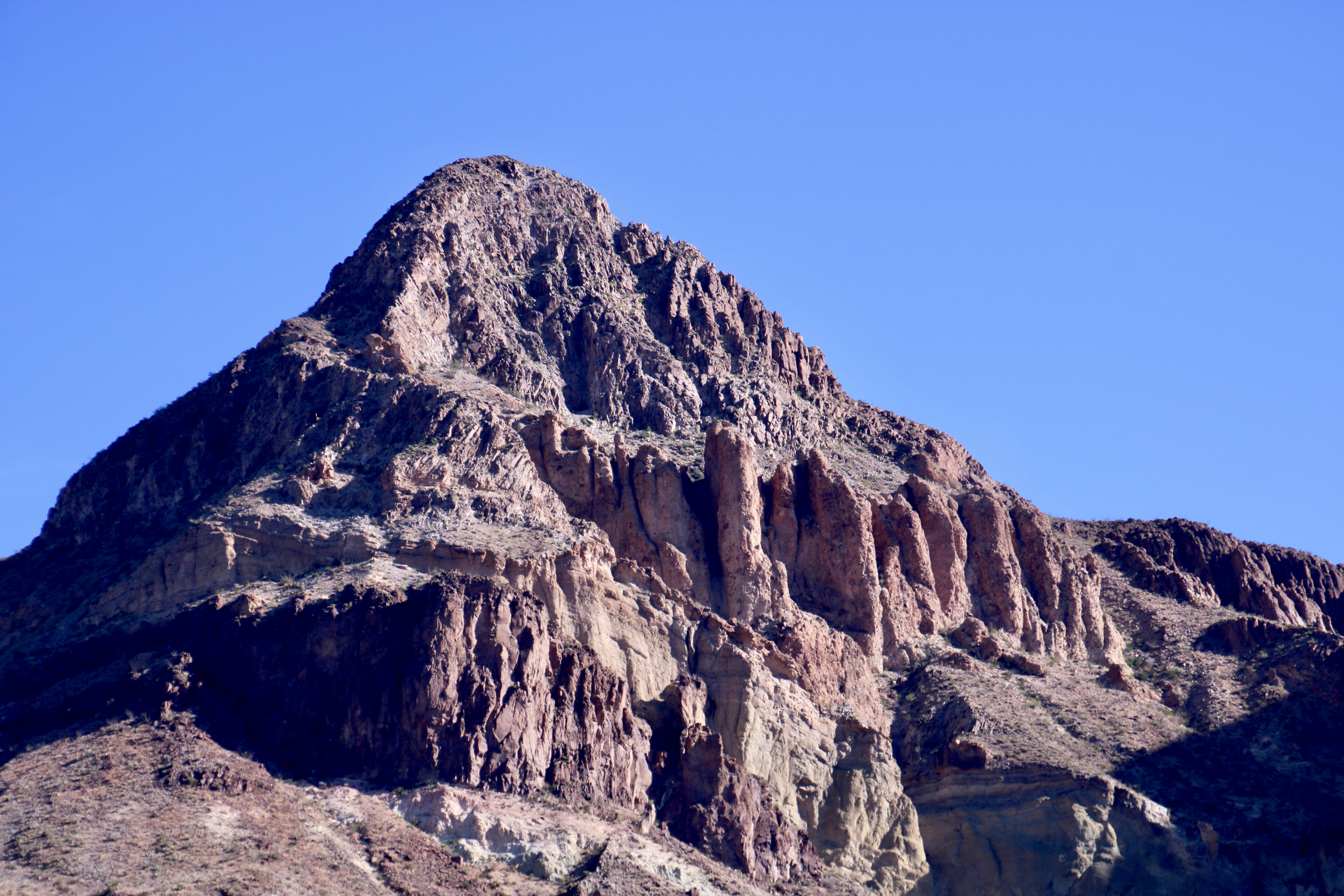
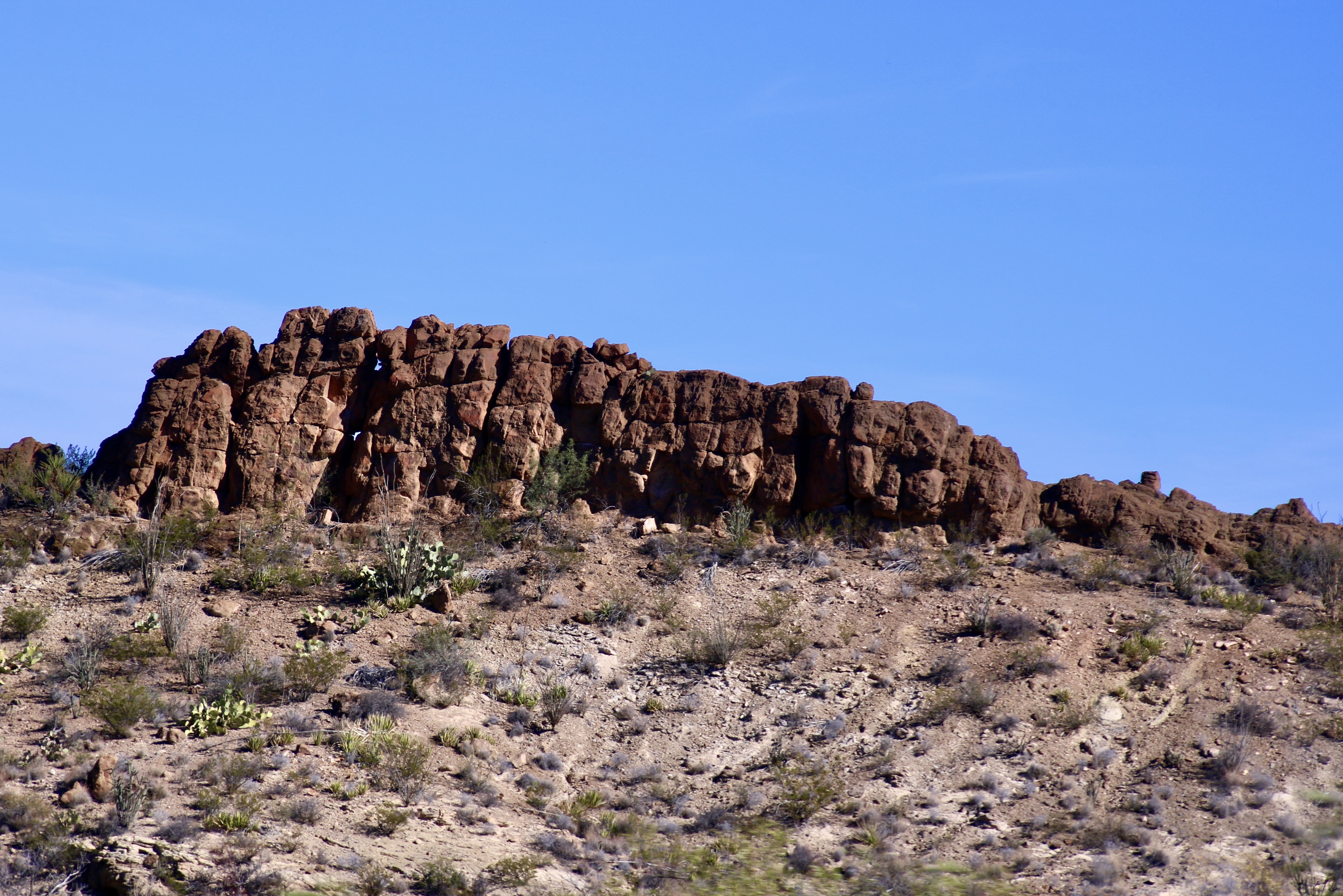
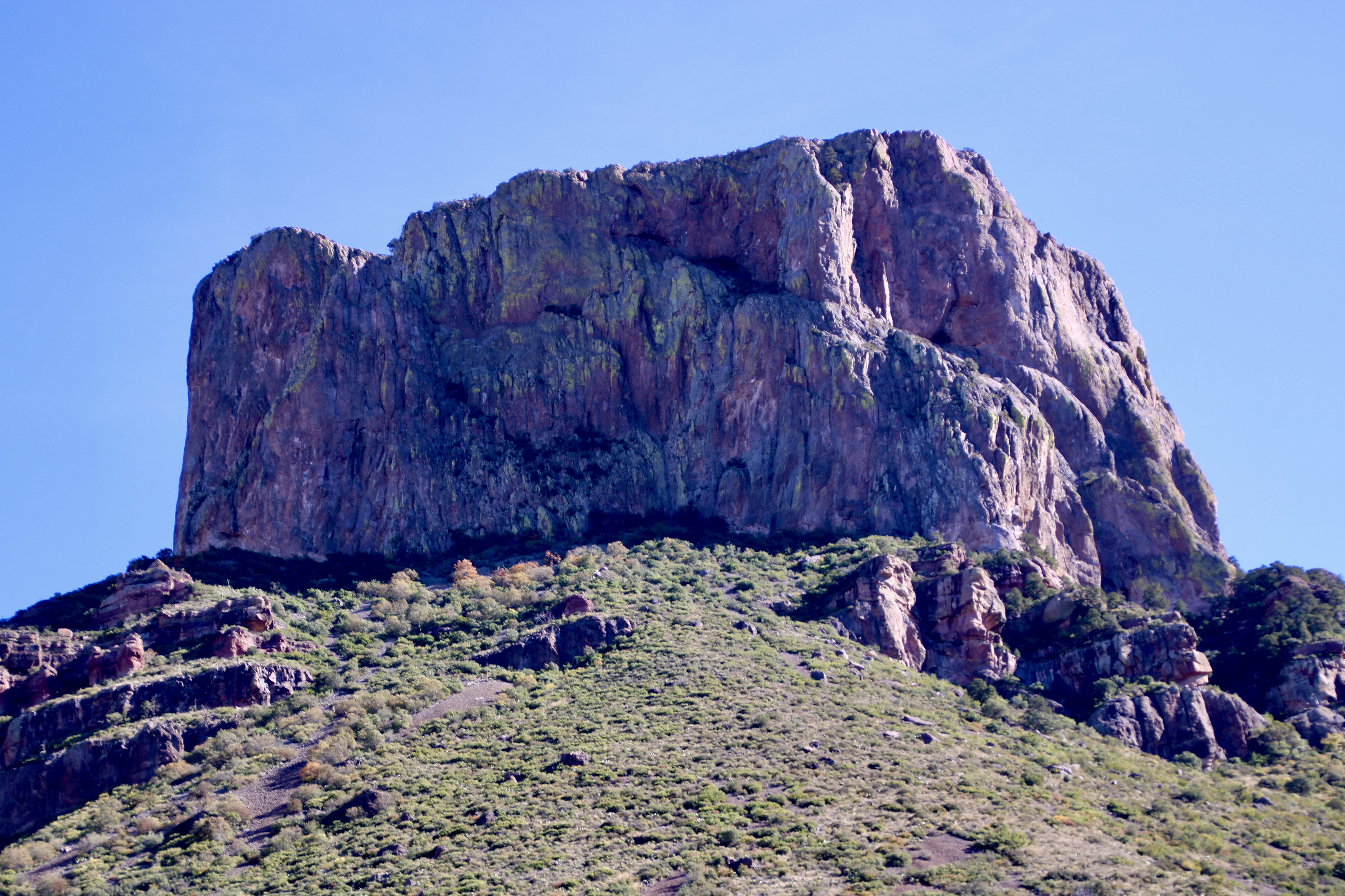
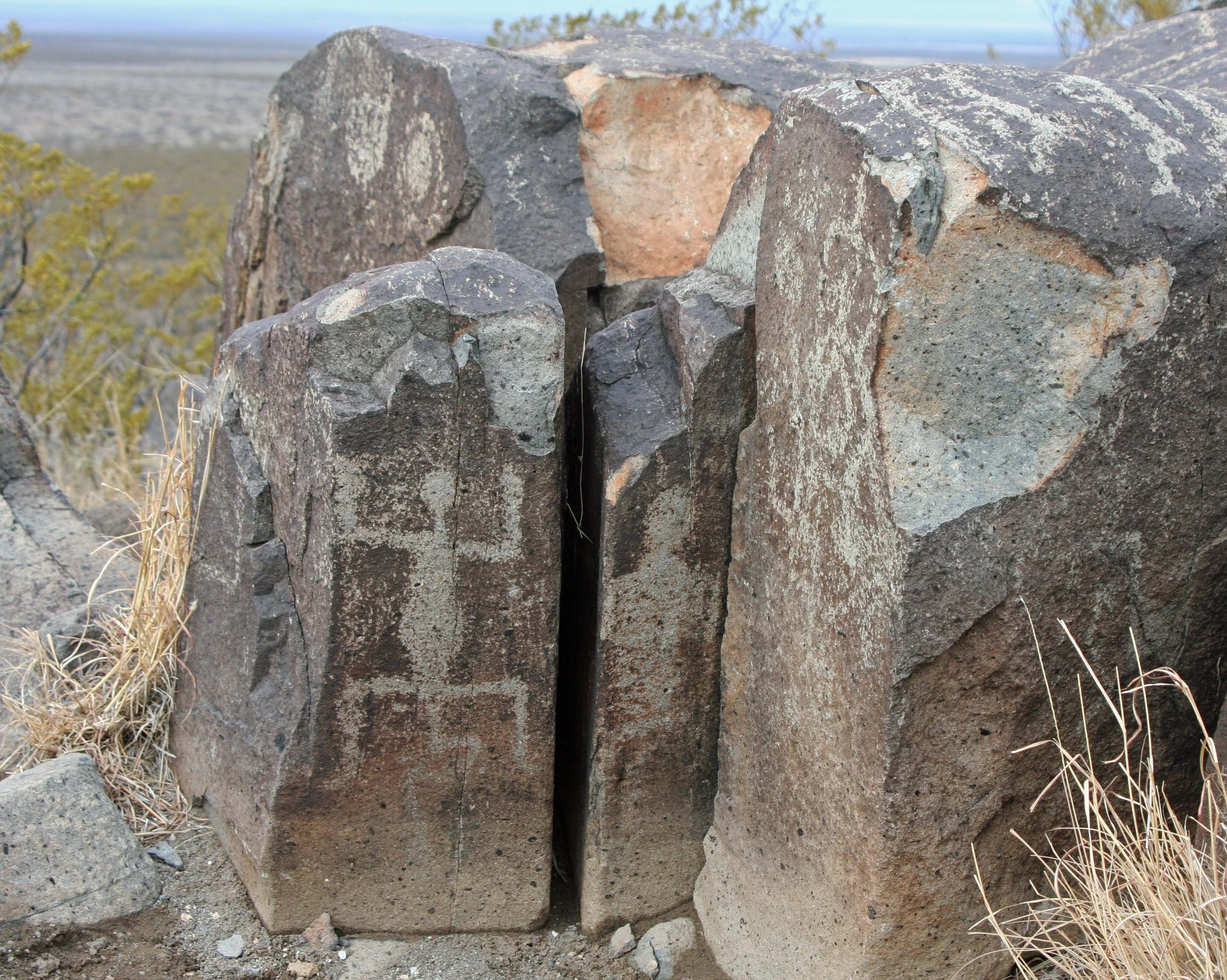
Native Americans often chose cliff areas such as those on the left for their rock art.

Three Rivers Petroglyph site in southern New Mexico.

Our van, Quivera, provides a perspective on the region. We took this photo from the ridge where the majority of petroglyphs are located. We pretty much had the site to ourselves during the two days we were there.

Peggy stands on the ridge next to a rock likely to hold petroglyphs. Some glyphs are immediately obvious while others are hidden. Sharp eyes are required.

Peggy stands on the ridge next to a rock likely to hold petroglyphs. Some glyphs are immediately obvious while others are hidden. Sharp eyes are required.

Petroglyphs at Three Rivers Petroglyph site in southern New Mexico.

Faded bear and what may be badger prints are shown on these rocks. Petroglyphs are made by using a stone to peck away the outer layer of rock varnish (a layer of minerals that attaches to the rock over time).

Lichen on rock at Three Rivers Petroglyph site in Southern New Mexico.

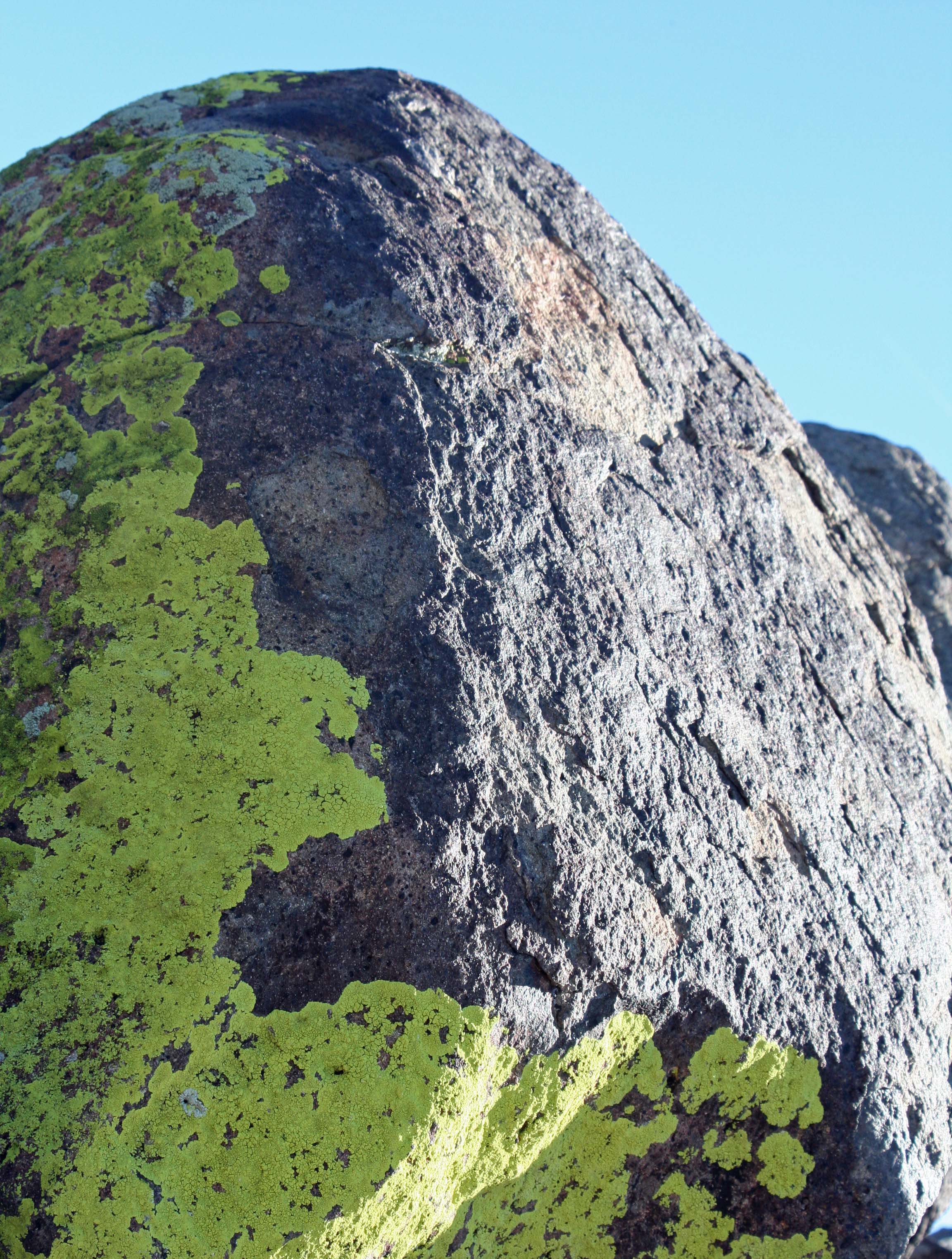
We also found the lichens to be quite attractive.

Lizard glyph at Three Rivers Petroglyph site in Southern New Mexico.

Many rocks at Three Rivers are covered with petroglyphs. In addition to the prominent lizard,we found circles, geometric designs, and a possible map on the various faces of this rock.

Evening clouds over the Sacramento Mountains of New Mexico.

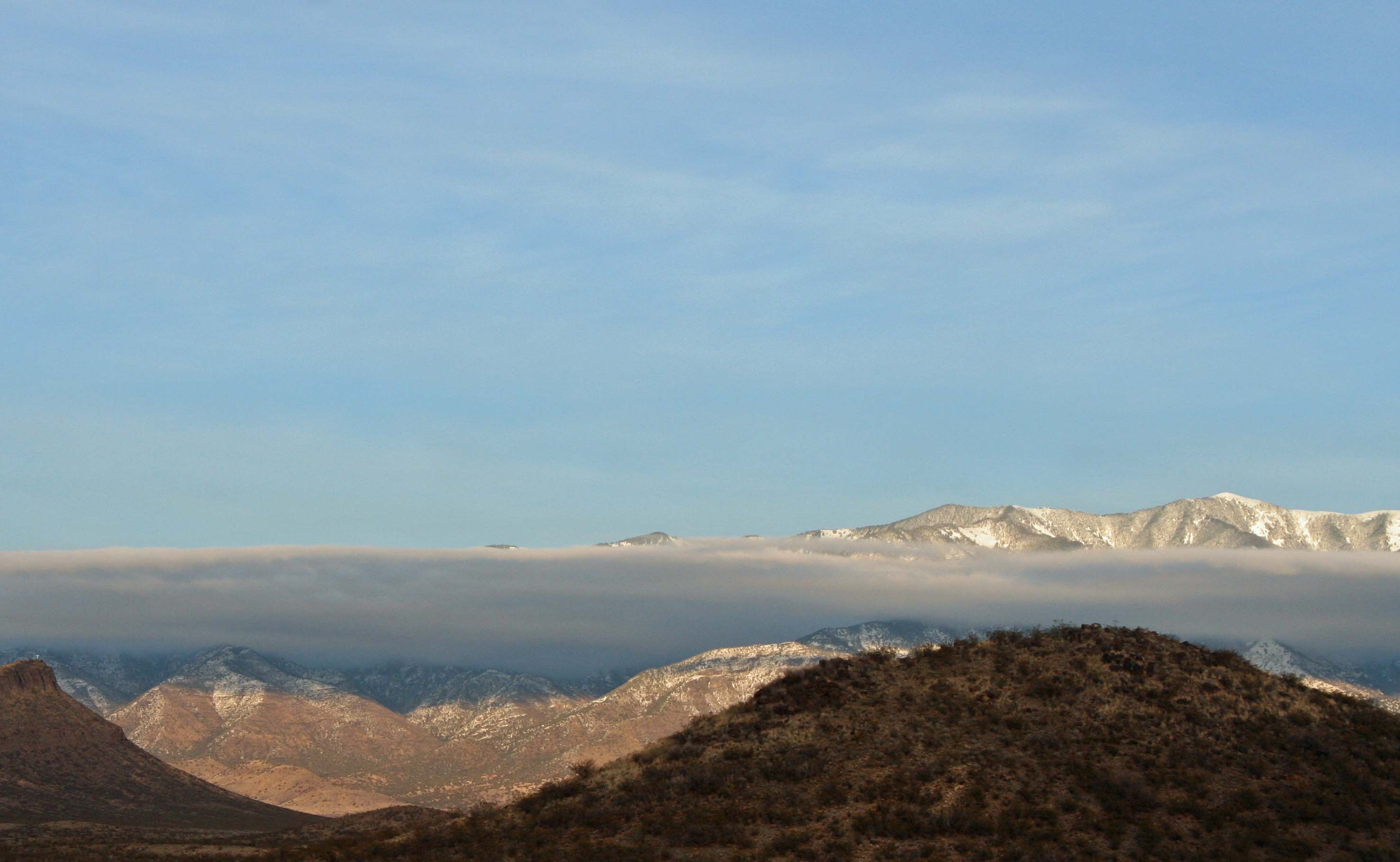
Sunset lights up the Sacramento Mountains. I found the contrast created by the cloud layer quite interesting.

NEXT BLOG: I will look at glyphs that feature the Jornada Mogollon people and their gods.

Petroglyph at Three Rivers Petroglyph site in Southern New Mexico

One of the many strange beings we found lurking among the rocks.