
I was wrapping up my day at the Lung Association in Sacramento when the building started moving shortly after 5 p.m. on October 17th, 1989. Peggy and I were at the very beginning of our relationship. You might say, it was off to a shaky start. “Is this the big one?” leapt into my mind as I ran outside. But buildings weren’t falling or people screaming. “Not this time,” we thought, relieved.
Had you been one of 62,000 baseball fans crammed into Candlestick Park for the World Series, or worse, commuting home from work in the Bay Area, your perspective would have been substantially different. A major 6.9 earthquake had ripped into the Santa Cruz Mountains along the San Andreas Fault south of the stadium. Nearby freeways collapsed including a section of the Bay Bridge, numerous buildings were destroyed or damaged, 63 people were killed and 3,757 injured by what became known as the Loma Prieta Earthquake.

Eighty-three years before the Loma Prieta earthquake, an even greater one shook the Bay Area. Blame plate tectonics. The San Andreas Fault, marks a distinct boundary as the Pacific Plate grinds its way north past the North American Plate, building pressure until an earthquake erupts. At 7.9 on the Richter Scale, the energy released from the 1906 San Francisco Earthquake equaled blowing up an estimated 6,270,000 tons of TNT!
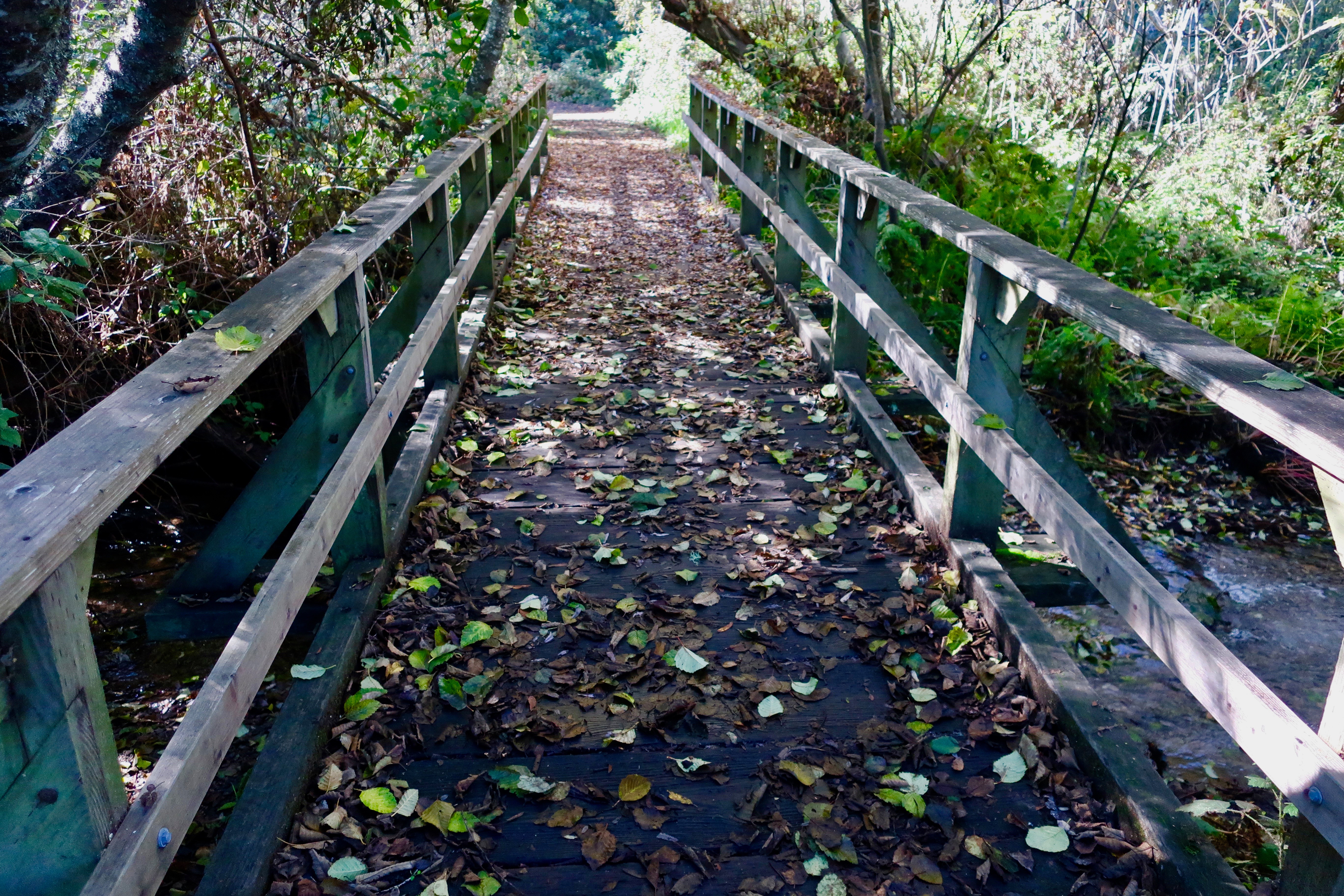
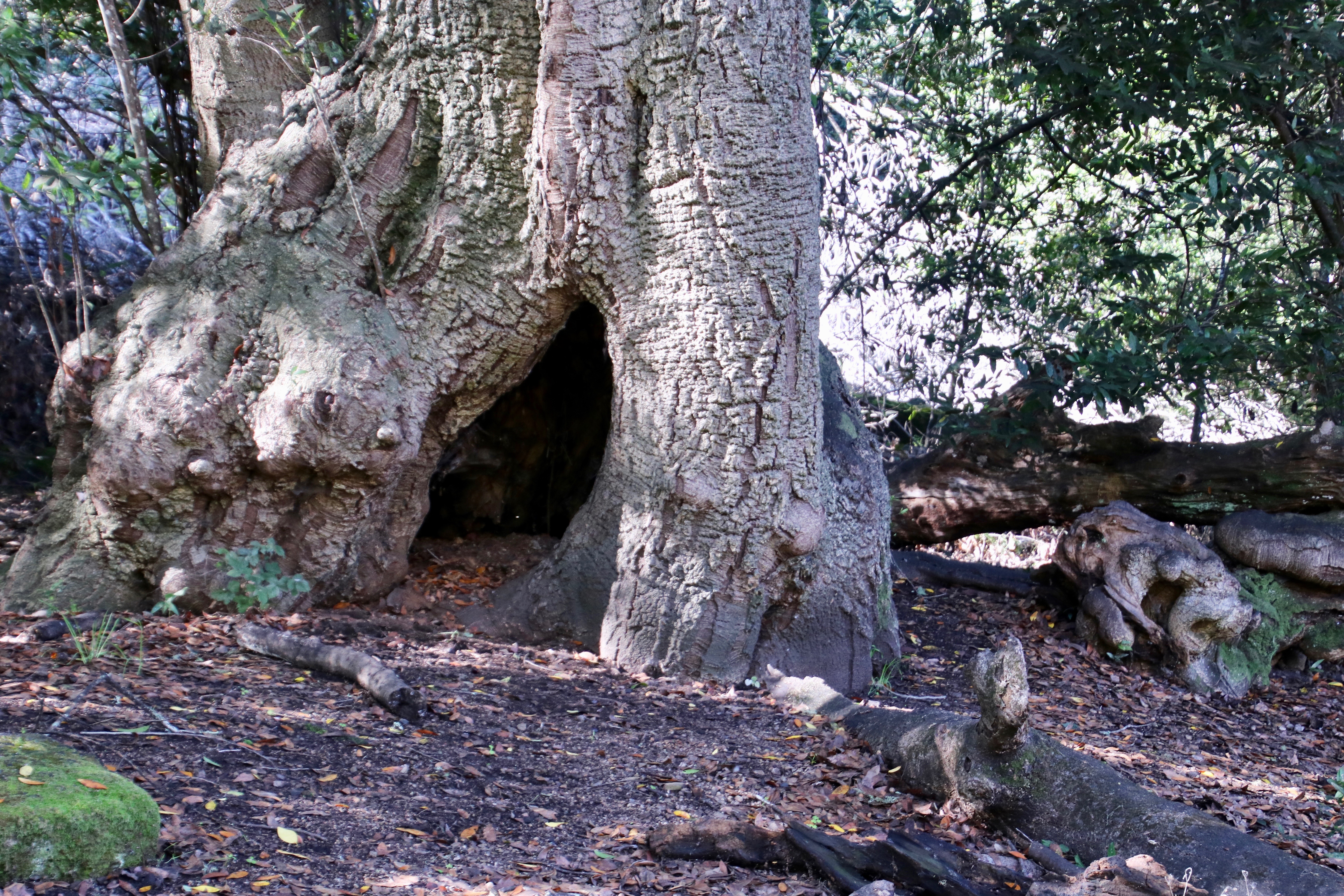
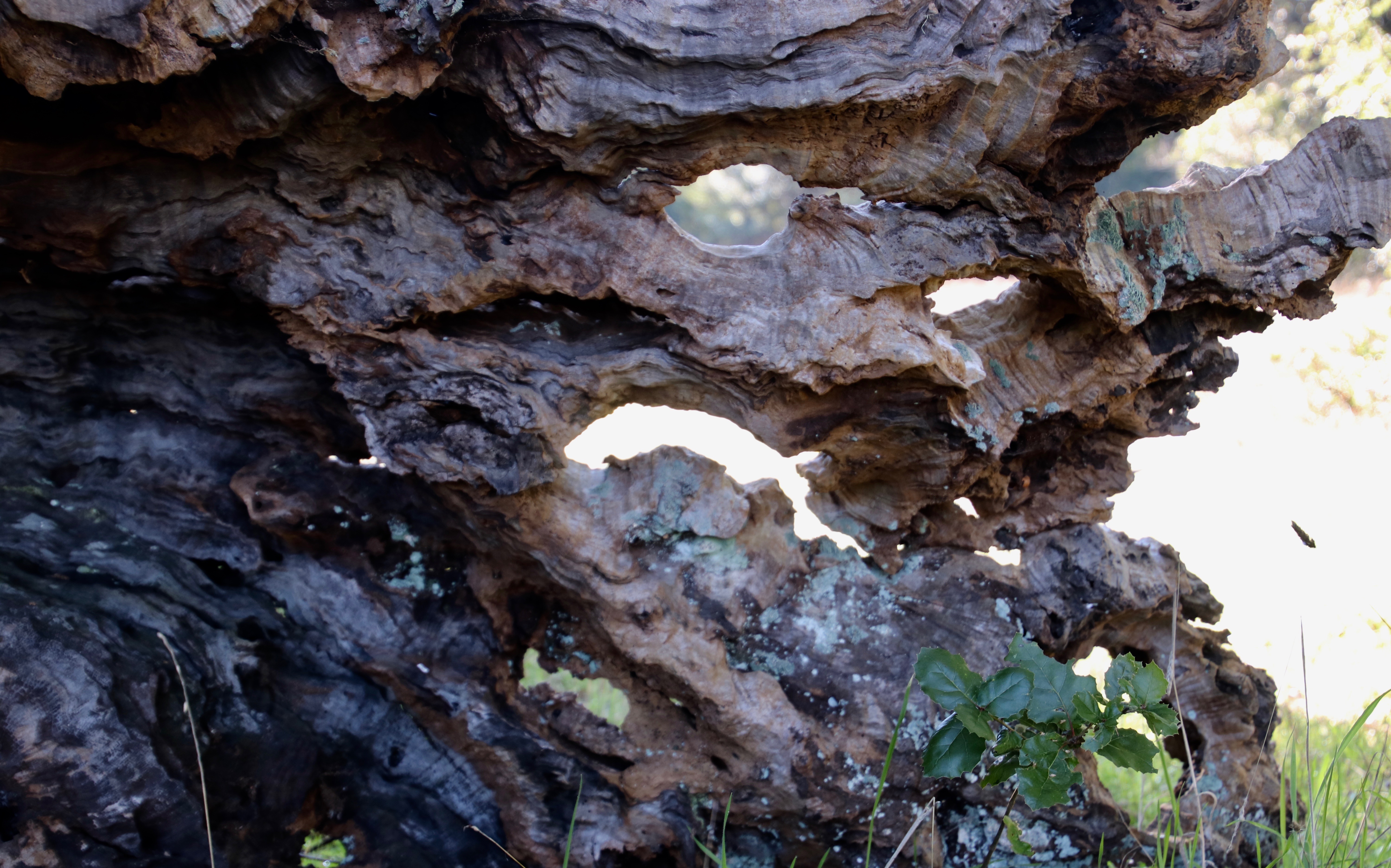
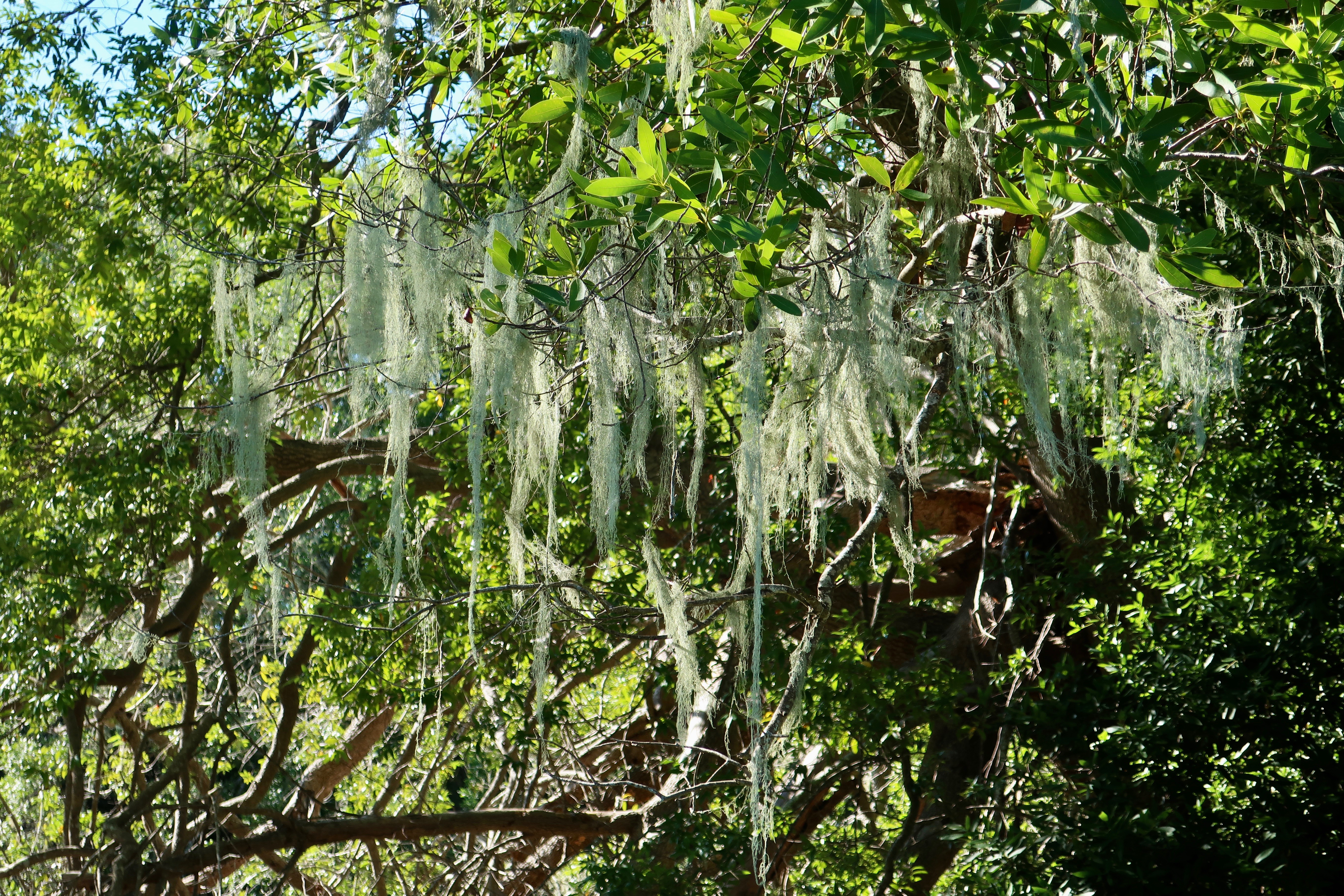
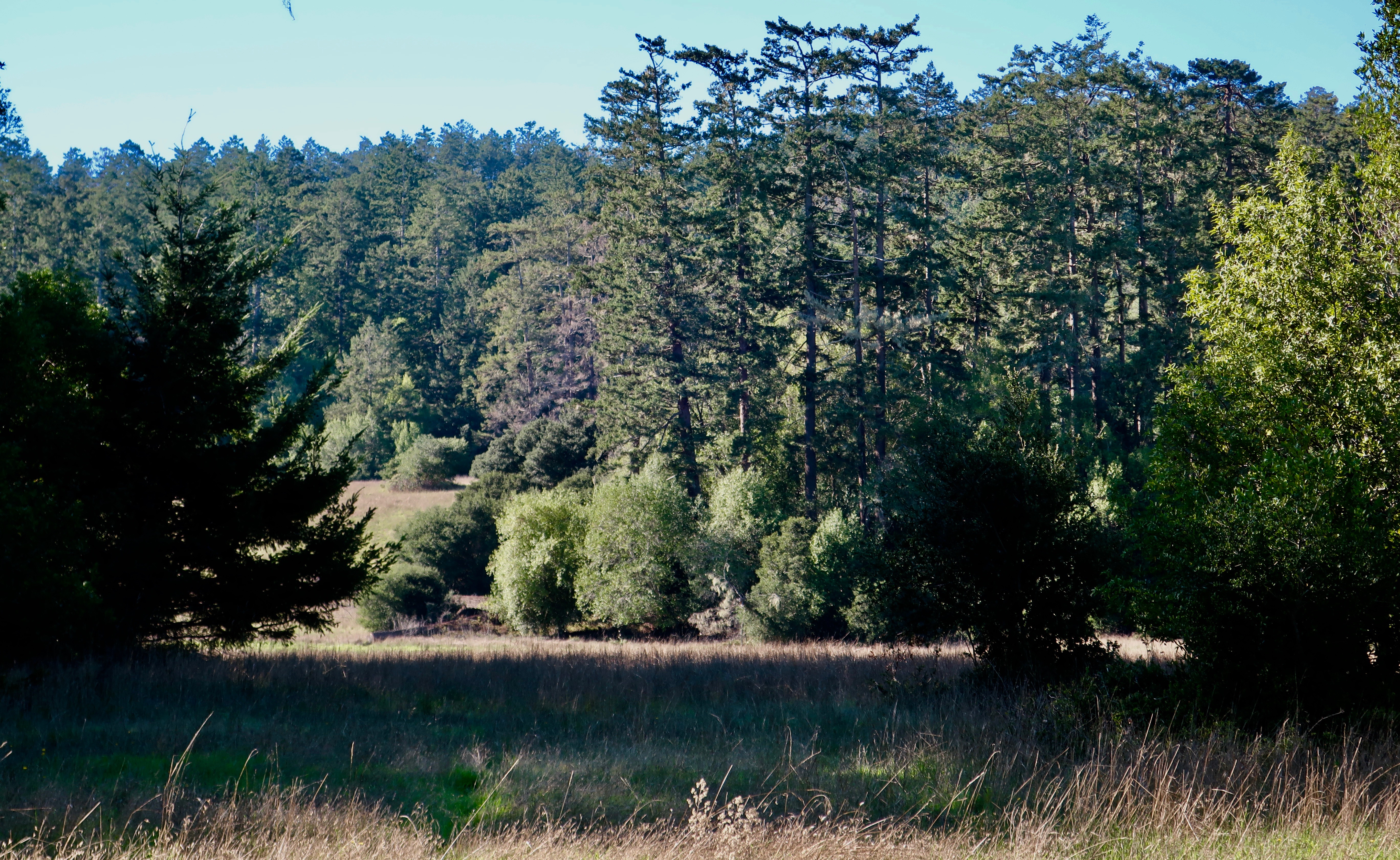
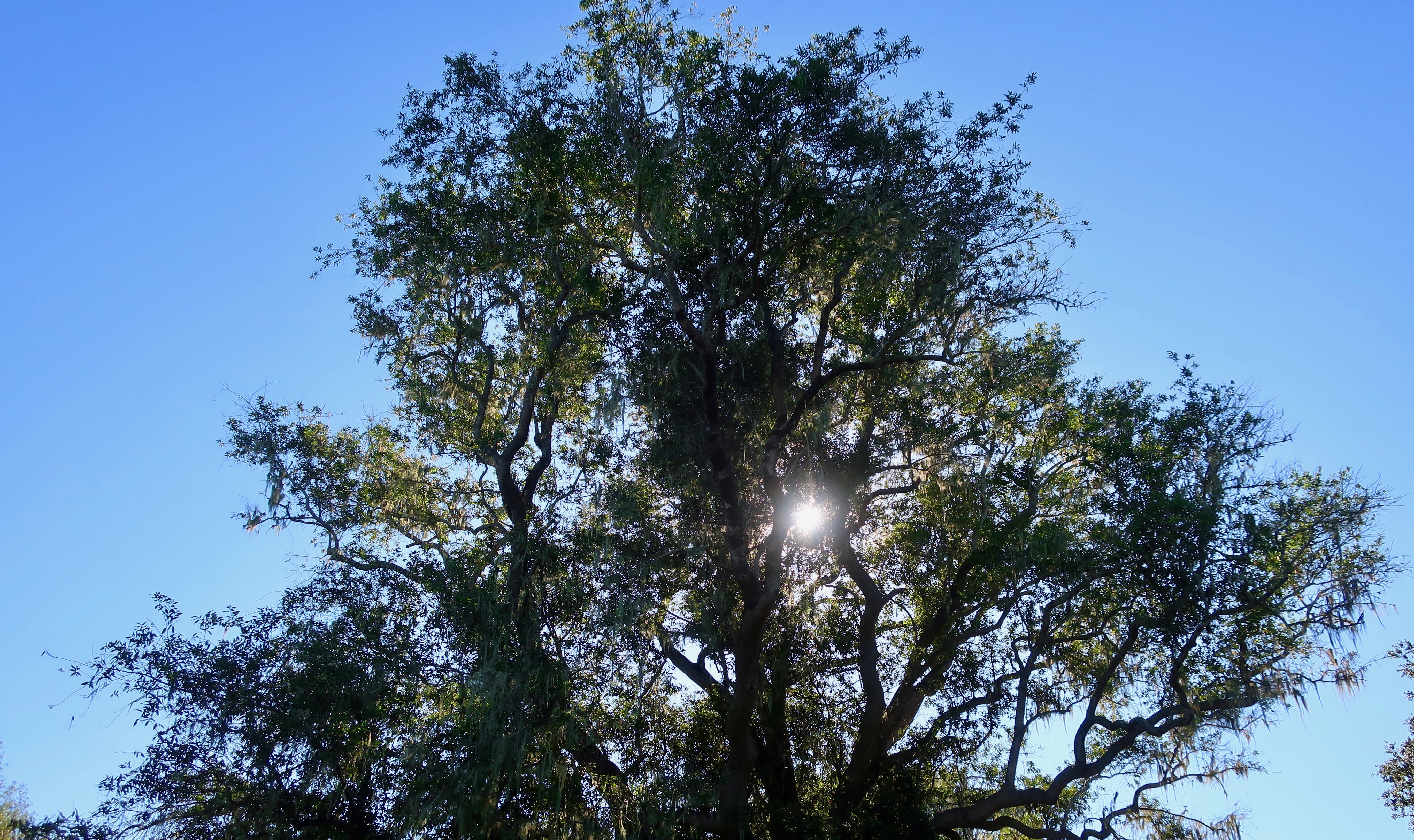
Earthquake Trail, found next to the Visitors’ Center at Pt. Reyes National Seashore, commemorates the event. Peggy and I were there last week and went for a walk along the trail. Like San Francisco, Pt. Reyes felt the full fury of the earthquake as portions of the land moved north as much as 20 feet.

The trail is easy to hike and is well marked with information signs. Its bucolic, serene beauty makes the damage done by the 1906 earthquake hard to imagine, however.


NEXT POST: More photos from around Pt. Reyes National Seashore and our maiden three week voyage with Iorek the Truck and Serafina the trailer.
